Elevation of Mitchell Mill Rd, Gladys, VA, USA
Location: United States > Virginia > Campbell County > Brookneal >
Longitude: -79.119106
Latitude: 37.155735
Elevation: 198m / 650feet
Barometric Pressure: 99KPa
Elevation Map:
Satellite Map:
Related Photos:
My view
From my view

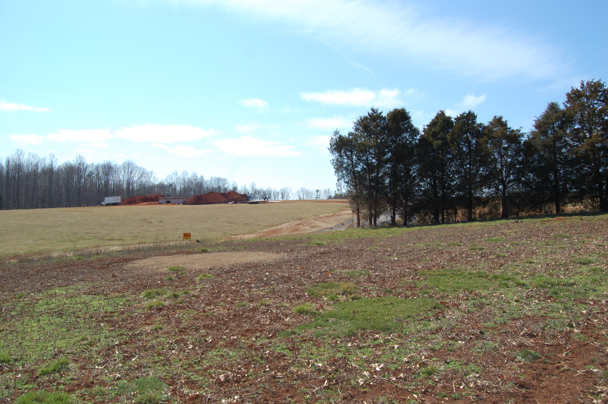
Clear Cut View

The view from my window in Virginia tonight. #Sunset #Virginia #VA

Hayline Ridge
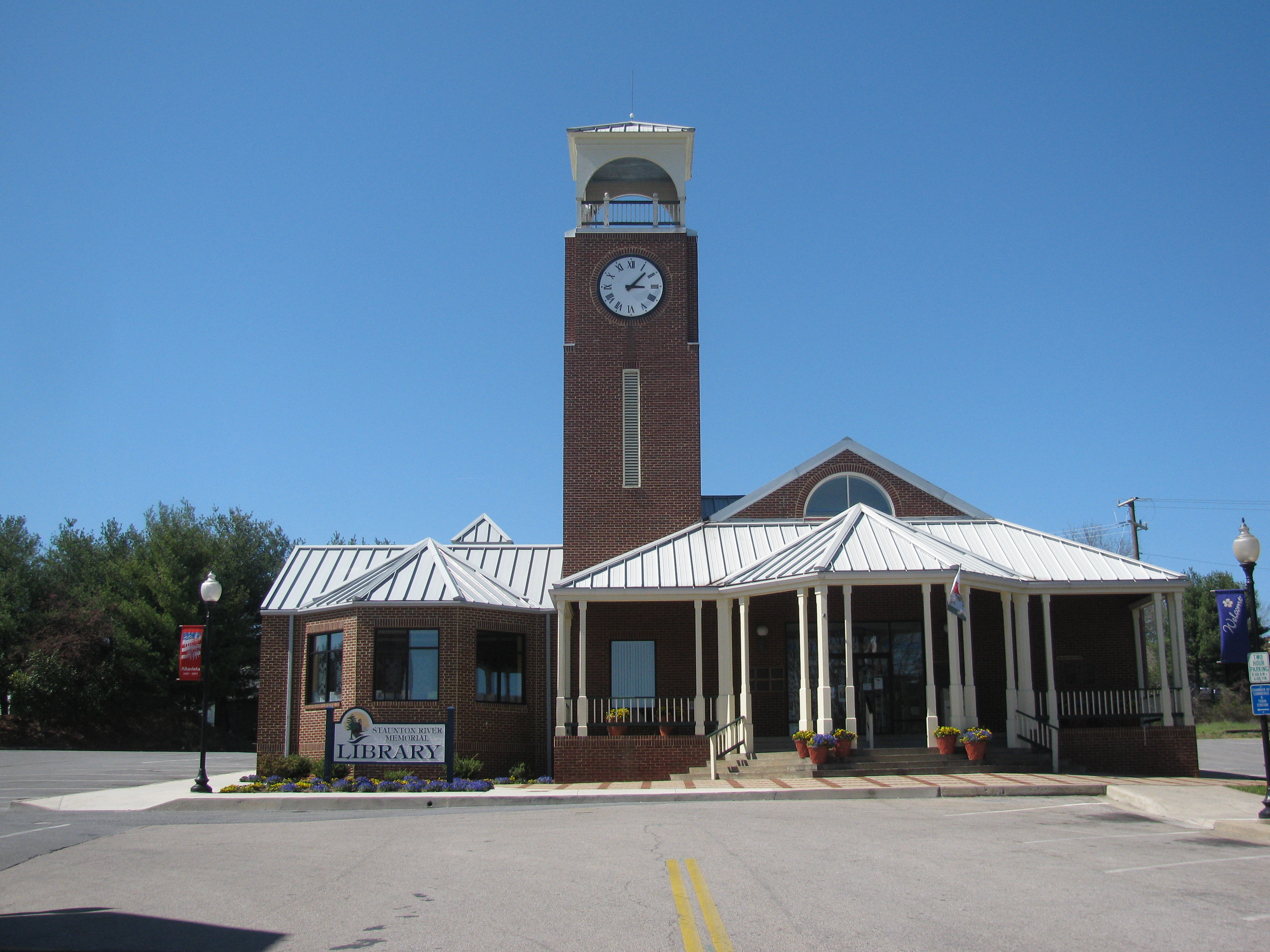
Altavista Public Library
View facing down the street

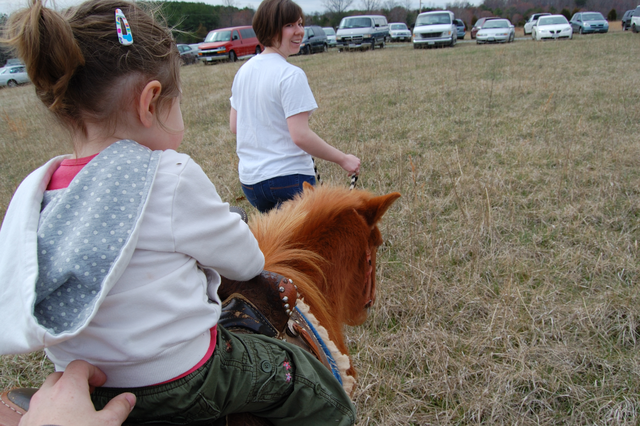
Scout's view
View from the side facing the street
Over the shoulder view
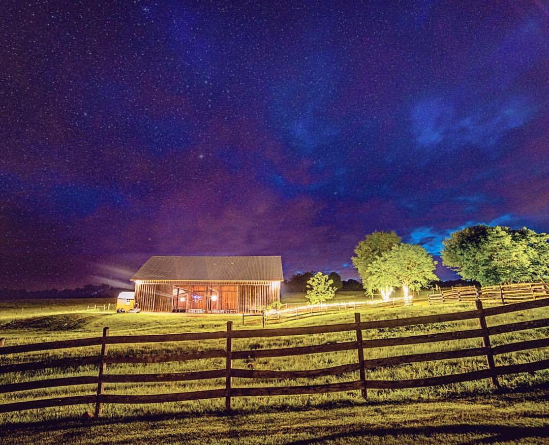
Headed to @sorellafarms today for a beautiful evening #wedding #Adammullinsphotography #sorella #weddingphotographer #farm #barn #stars #sky #weddingphotography #weddingplanning #weddinginsperation #weddingideas #engaged #engagedlife #theknot #vawedding
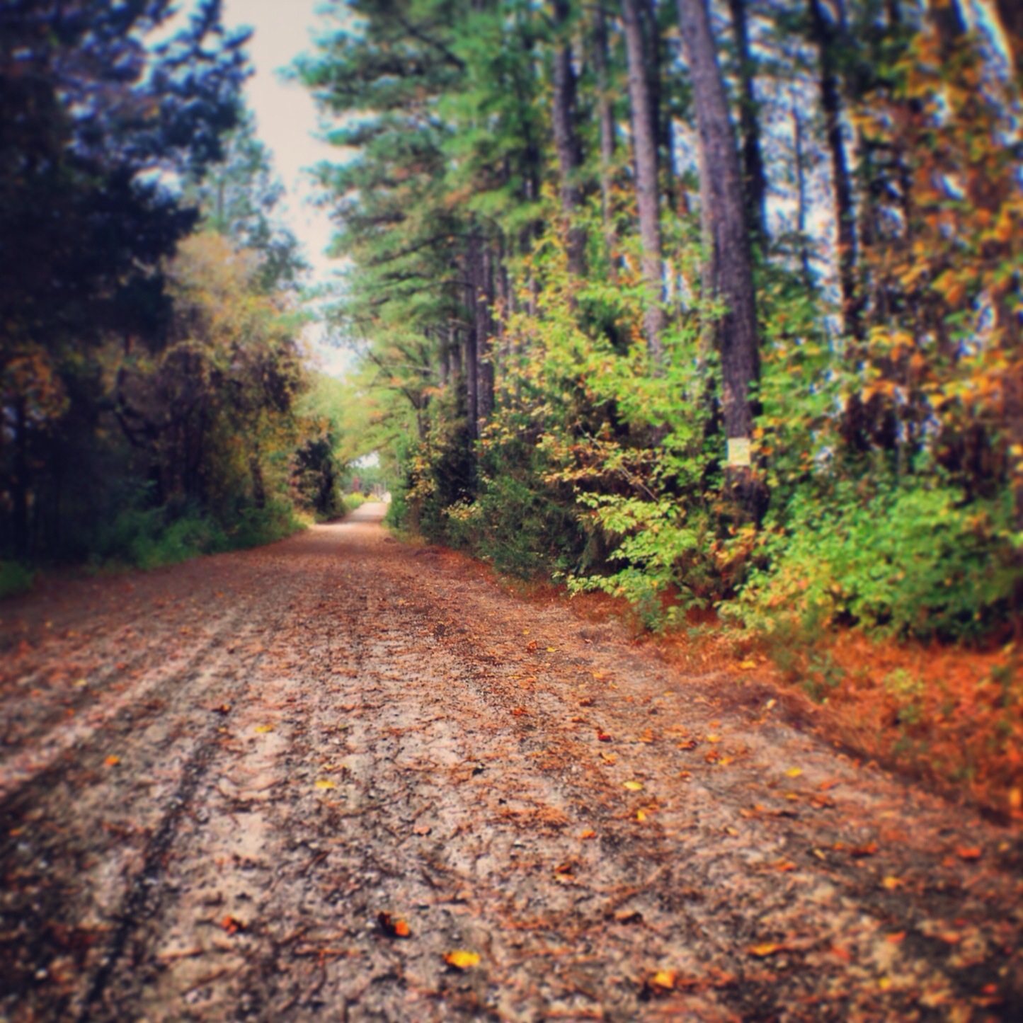
It's Autumn, Virginia

Mt. Zion Covered Bridge, Washington Co., KY
Walking the dogs

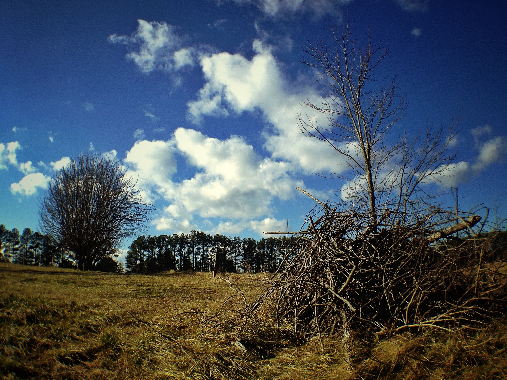
Bare Apple Tree

Staunton River
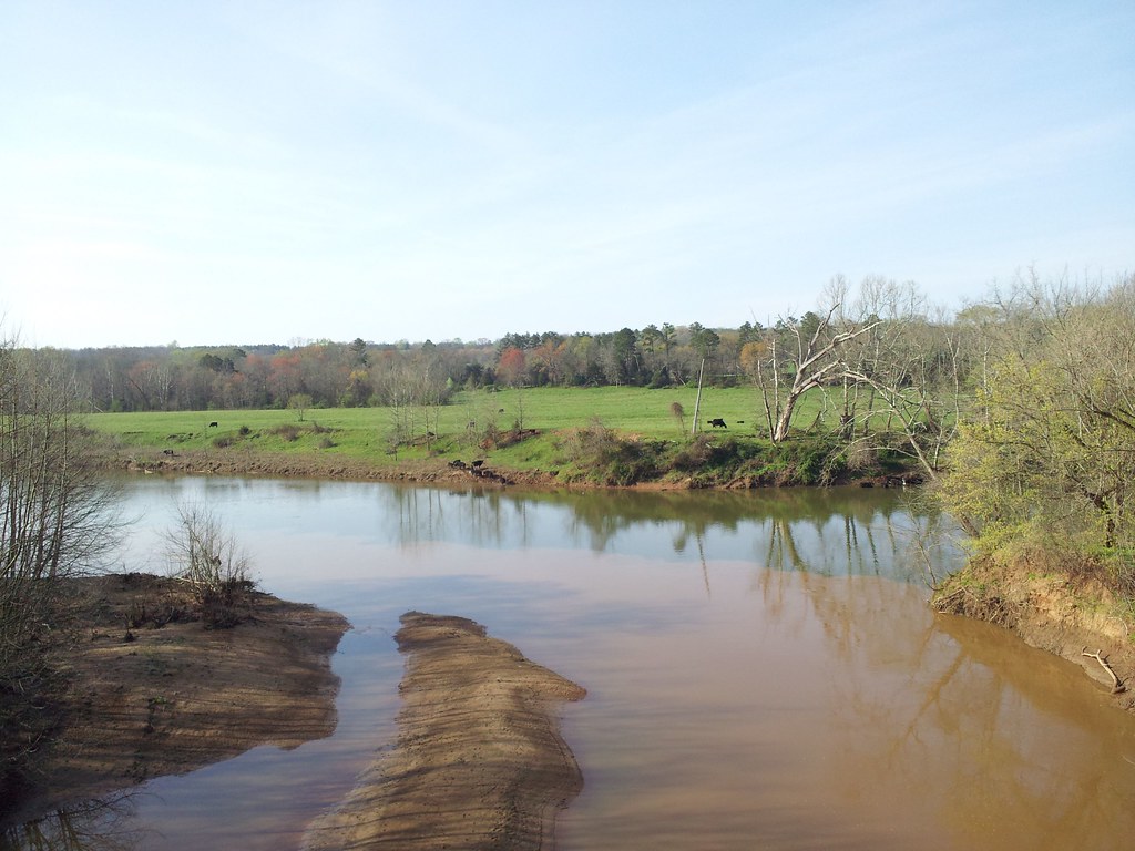
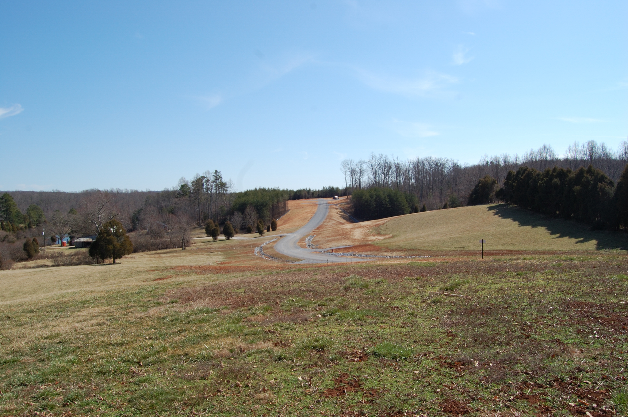
Staunton river near Altavista
staunton river
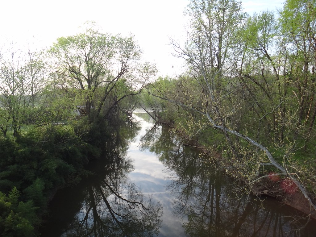
Creek near Seneca

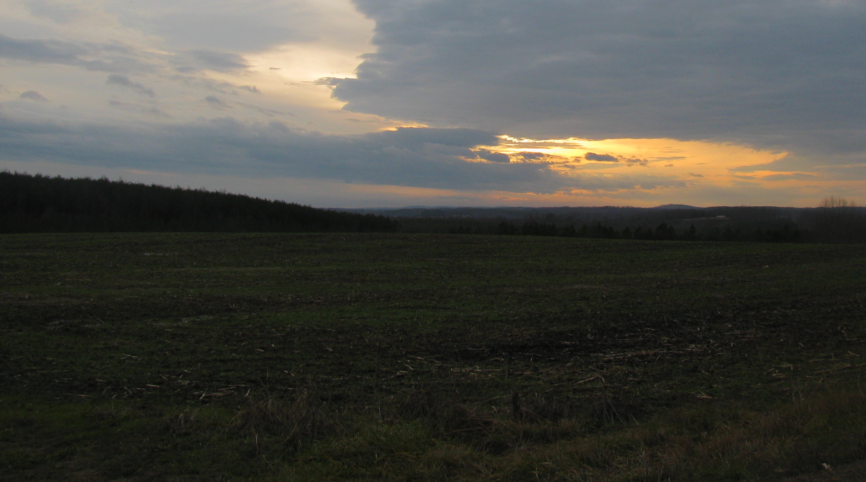
Clouds are Clearing
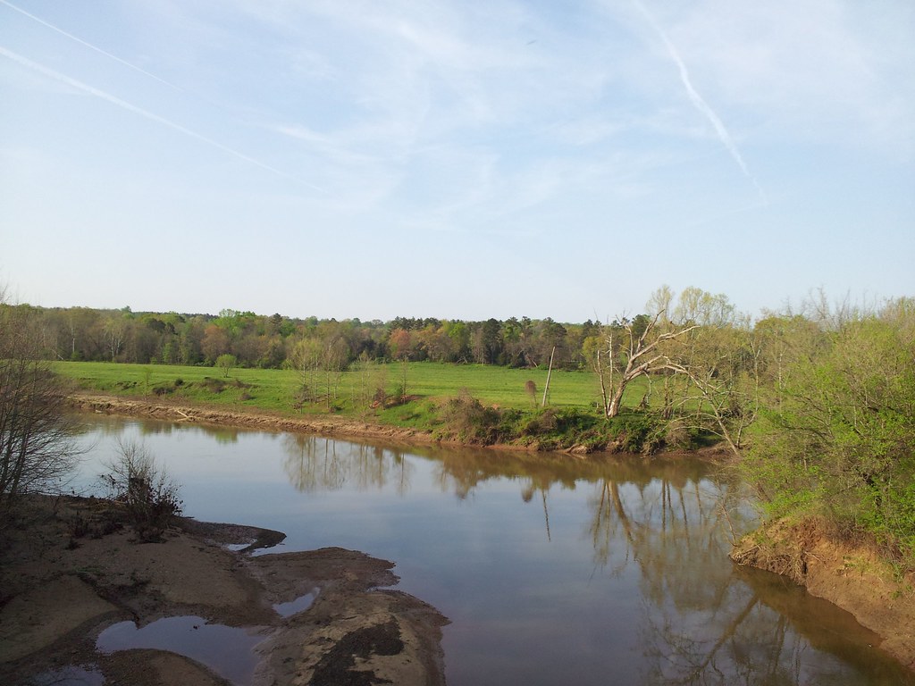
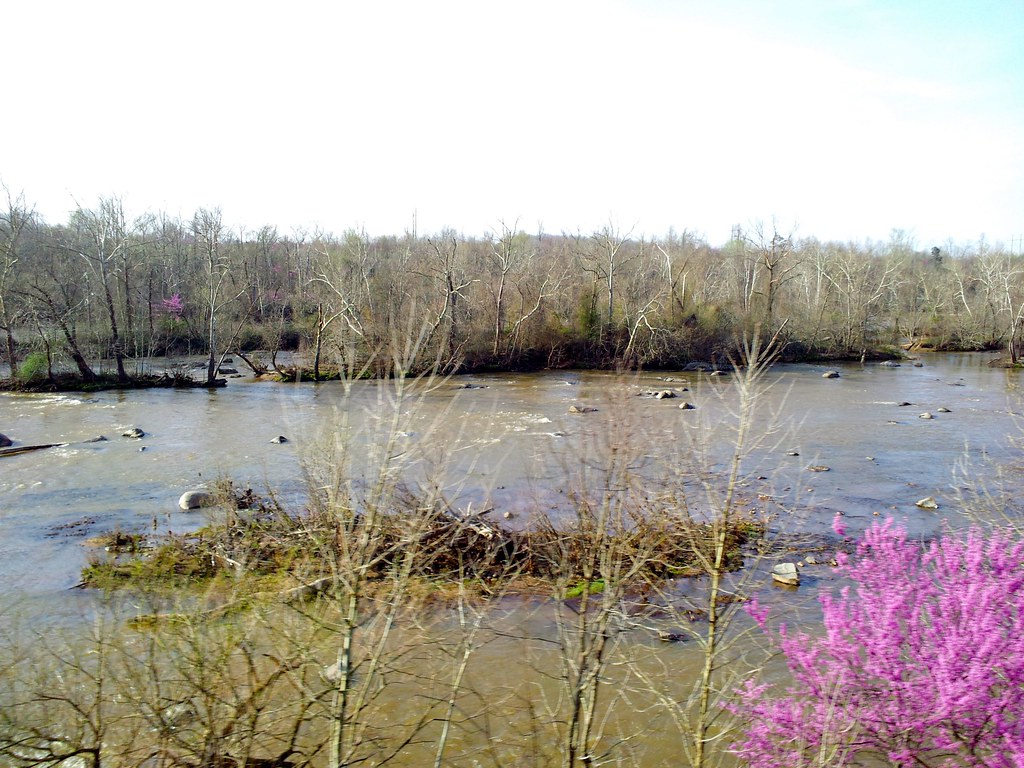
Staunton River

Beautiful scene near staunton river
Railroad Road
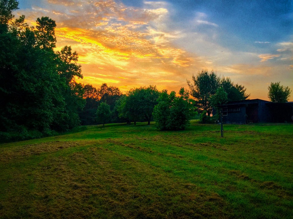
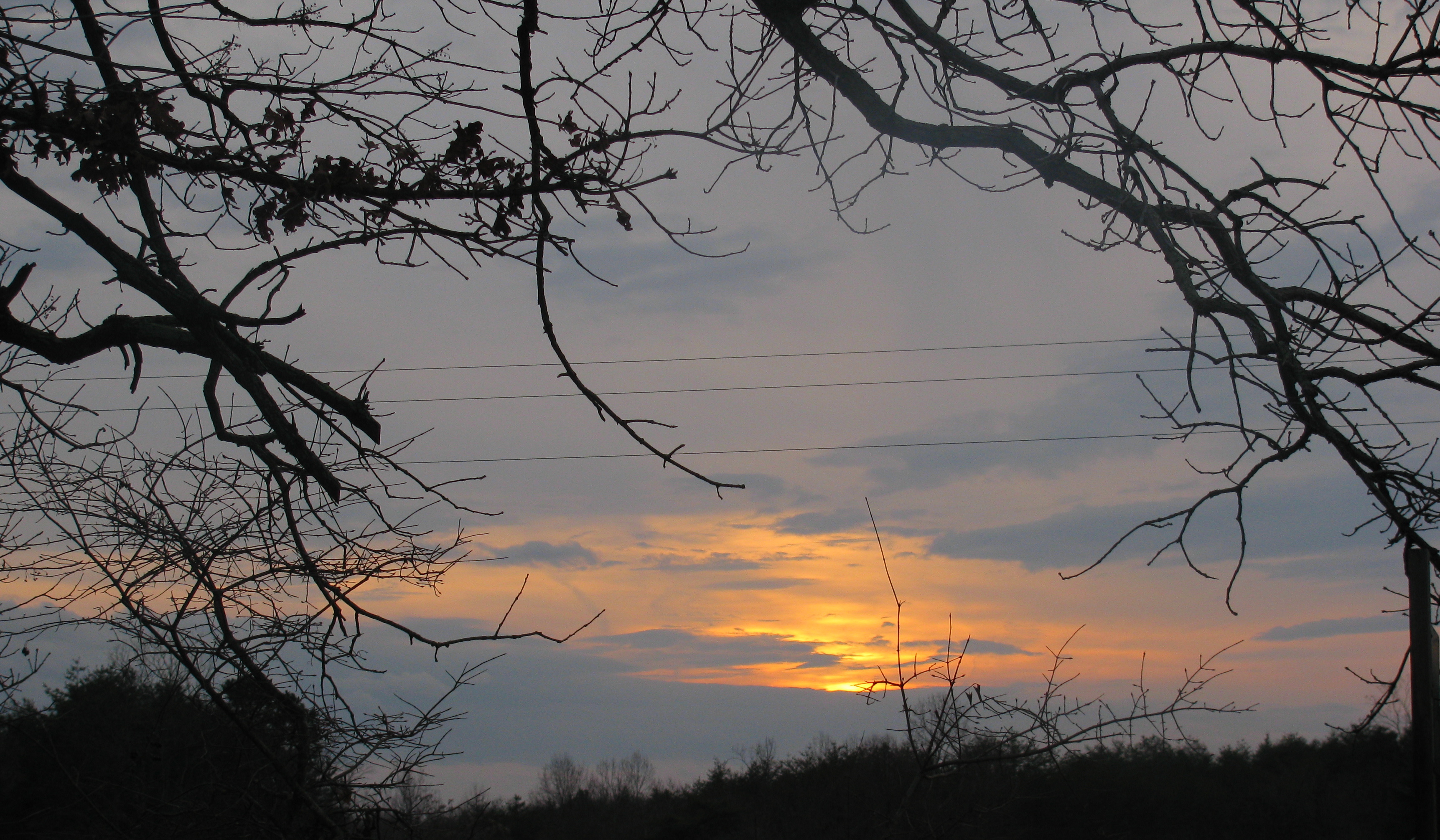
A Virginia Sunset
Topographic Map of Mitchell Mill Rd, Gladys, VA, USA
Find elevation by address:

Places near Mitchell Mill Rd, Gladys, VA, USA:
Goat Island Rd, Gladys, VA, USA
Campbell County
Staunton River Farm Road
Staunton River Farm Rd, Altavista, VA, USA
Seneca
Colonial Hwy, Rustburg, VA, USA
31 Bank Rd
519 Autumn Dr
29 Arrington Dr
809 Falkland Place Rd
165 Falkland Place Rd
Frazier Road
1201 Avondale Dr
1201 Avondale Dr
Altavista
Langdon Road
3rd Street
3rd Street
3rd Street
Lynch Station
Recent Searches:
- Elevation of Holloway Ave, San Francisco, CA, USA
- Elevation of Norfolk, NY, USA
- Elevation of - San Marcos Pass Rd, Santa Barbara, CA, USA
- Elevation of th Pl SE, Issaquah, WA, USA
- Elevation of 82- D Rd, Captain Cook, HI, USA
- Elevation of Harlow CM20 2PR, UK
- Elevation of Shenyang Agricultural University, Dong Ling Lu, Shen He Qu, Shen Yang Shi, Liao Ning Sheng, China
- Elevation of Alpha Dr, Melbourne, FL, USA
- Elevation of Hiroshima University, 1-chōme-3-2 Kagamiyama, Higashihiroshima, Hiroshima -, Japan
- Elevation of Bernina Dr, Lake Arrowhead, CA, USA