Elevation of Bath County, VA, USA
Location: United States > Virginia >
Longitude: -79.650210
Latitude: 38.111733
Elevation: 548m / 1798feet
Barometric Pressure: 95KPa
Elevation Map:
Satellite Map:
Related Photos:

Jefferson Pools
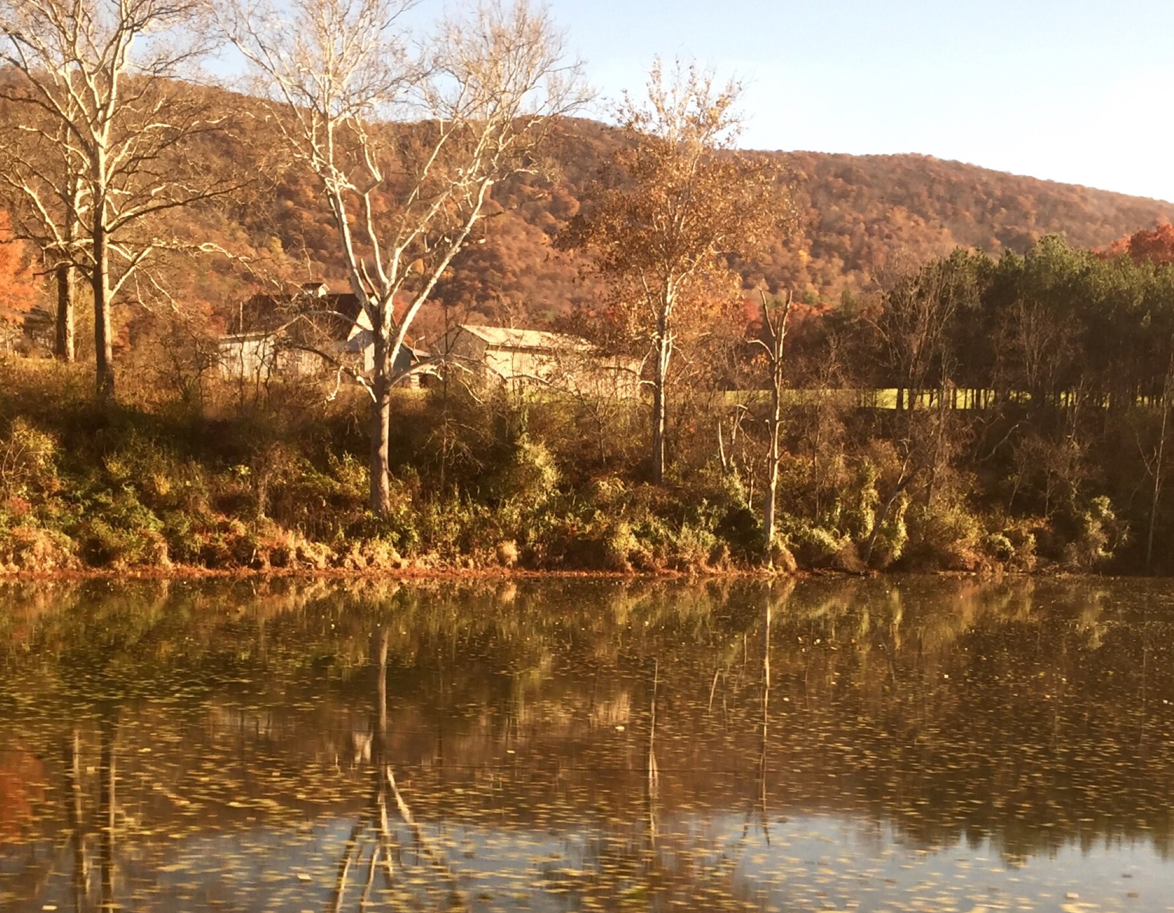
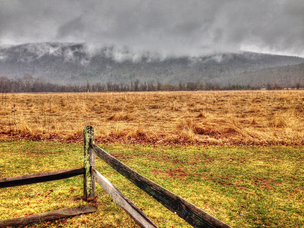
Passing by a pond in the Fall
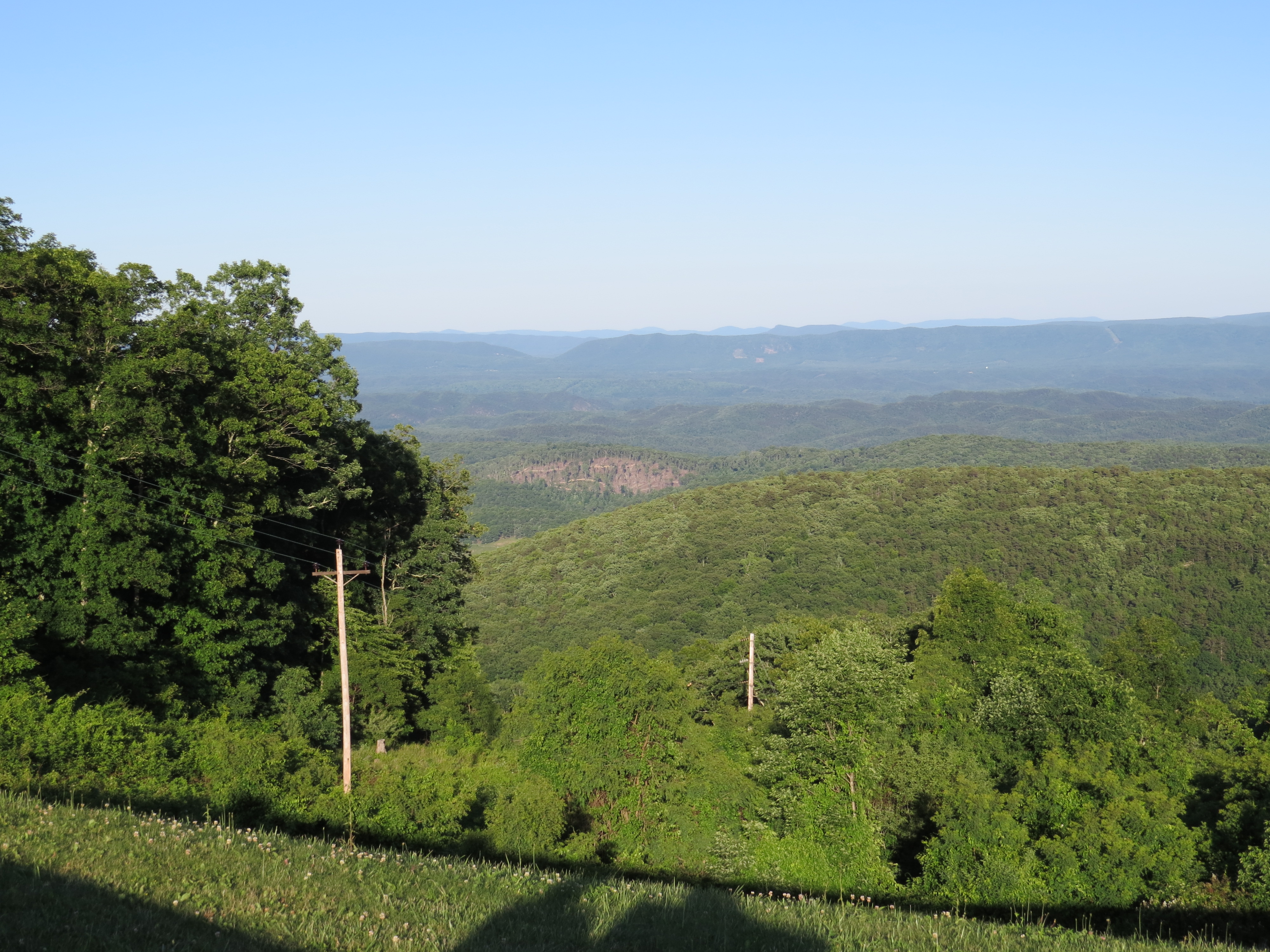
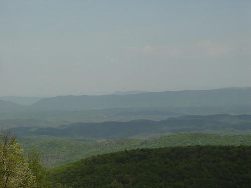
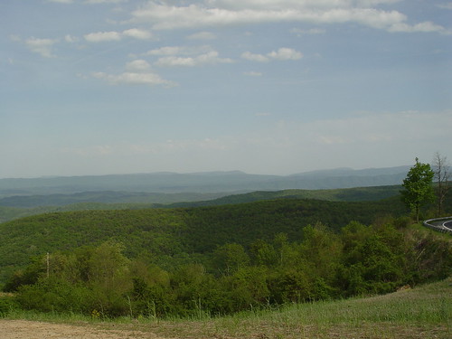
Dan Ingalls Overlook
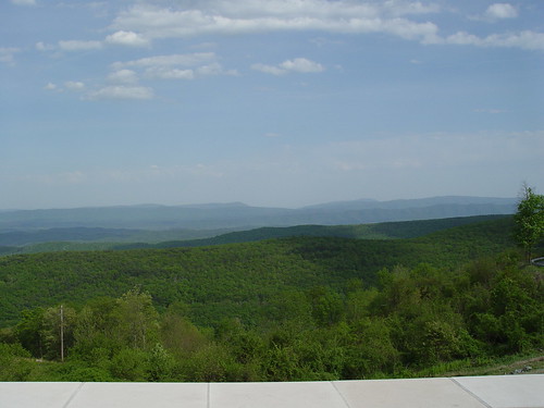
VA Overlook
Dan Ingalls Overlook
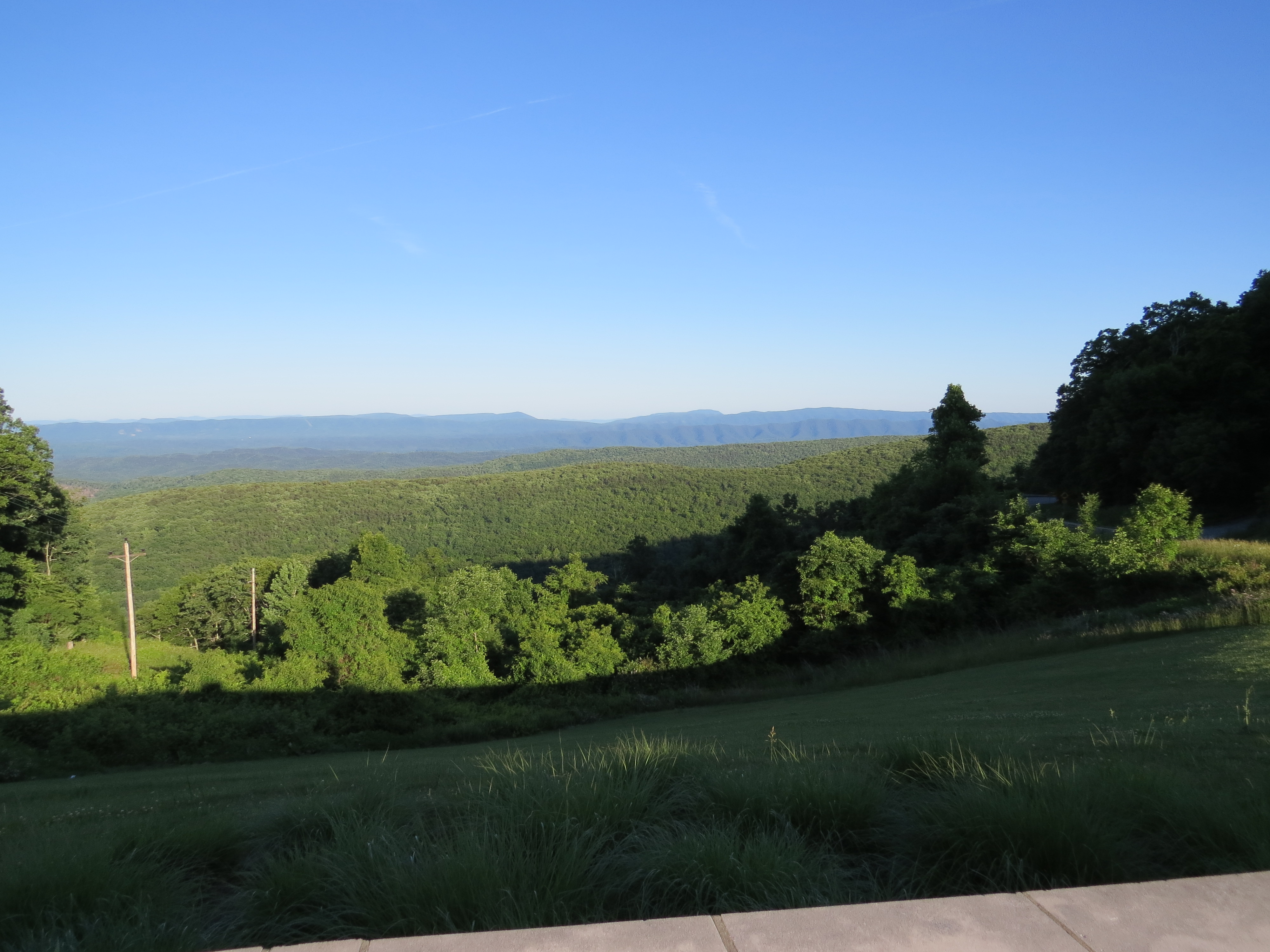
Dan Ingalls Overlook
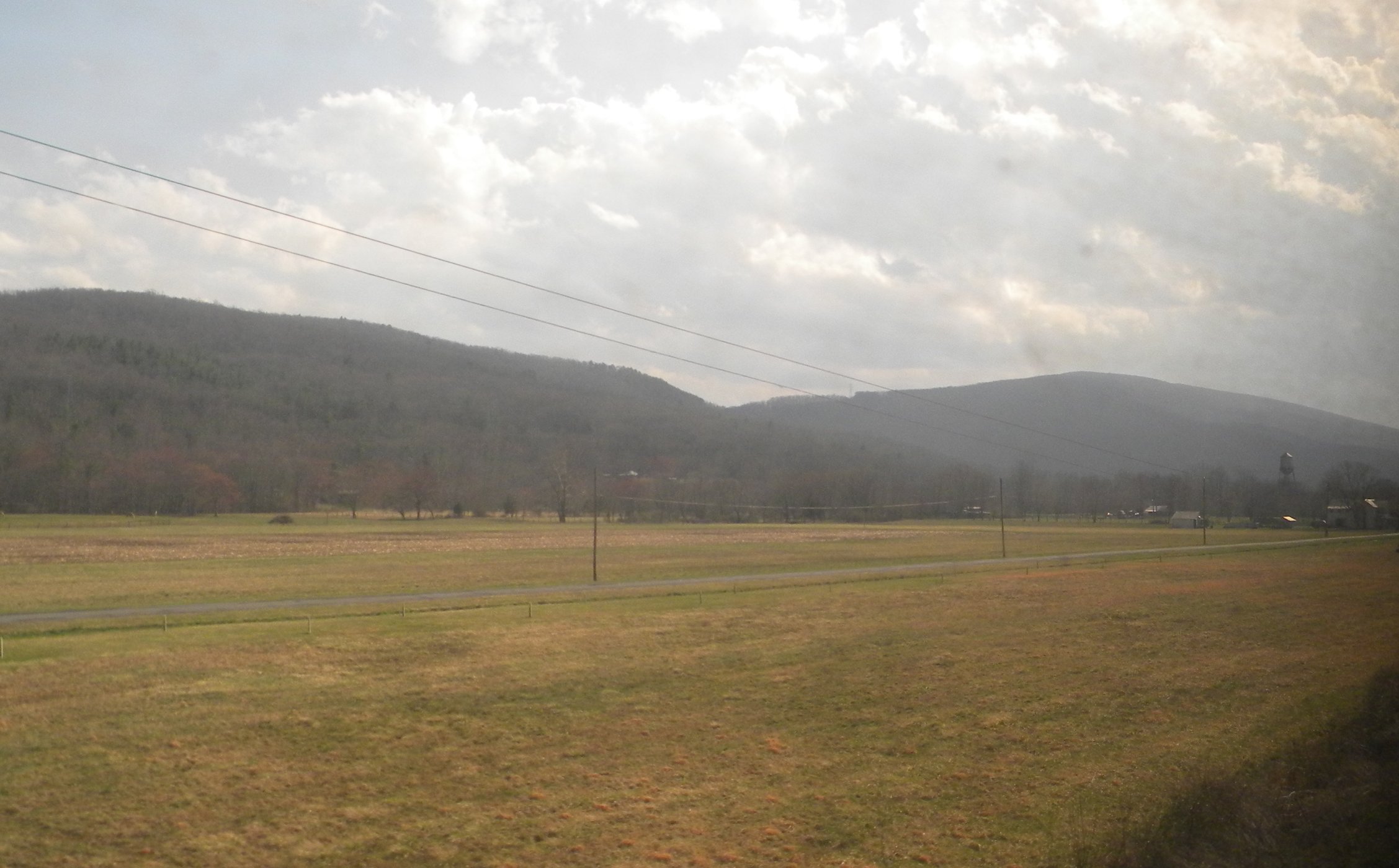
Goshen Virginia
On the Cardinal in Western Virginia
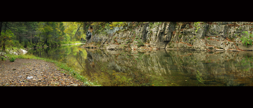
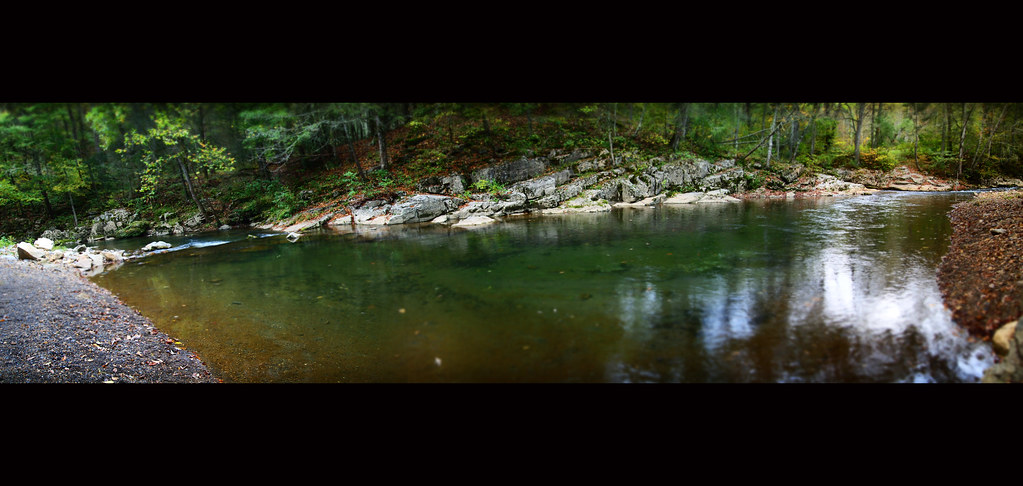
Bullpasture River Panorama
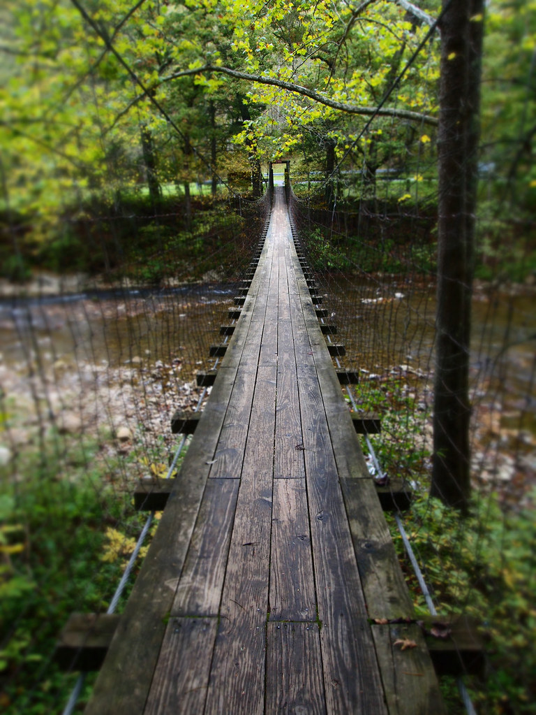
The Bullpasture River Gorge Footbridge
Bullpasture River Diorama Panorama
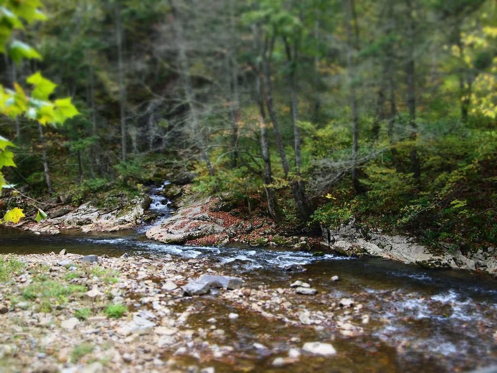
Bullpasture River
Bullpasture River
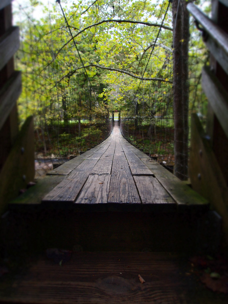
The Bullpasture River Gorge Footbridge

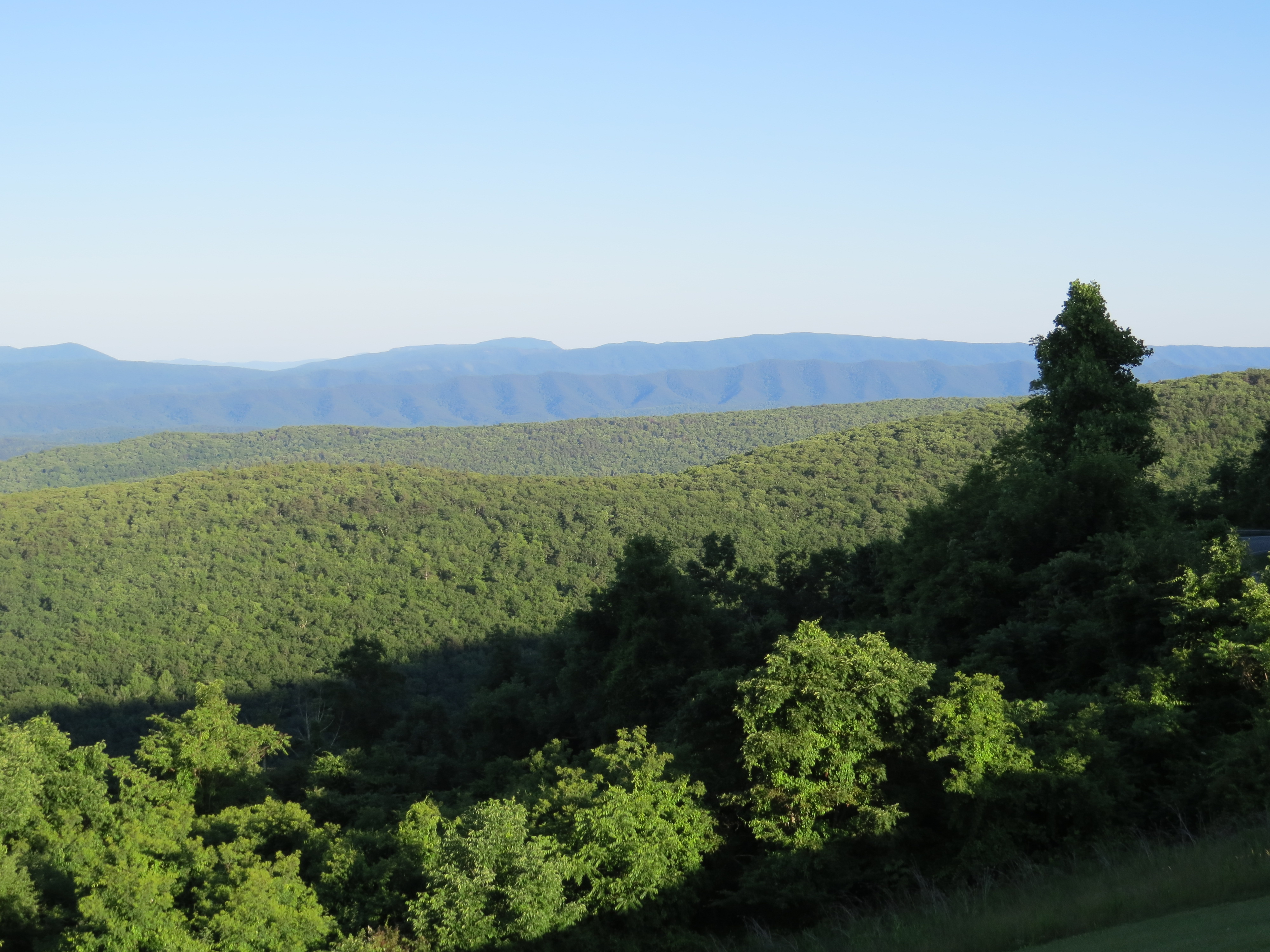
Ingall's Overlook
Ingall's Overlook
Ingall's Overlook
DAN INGALLS OVERLOOK

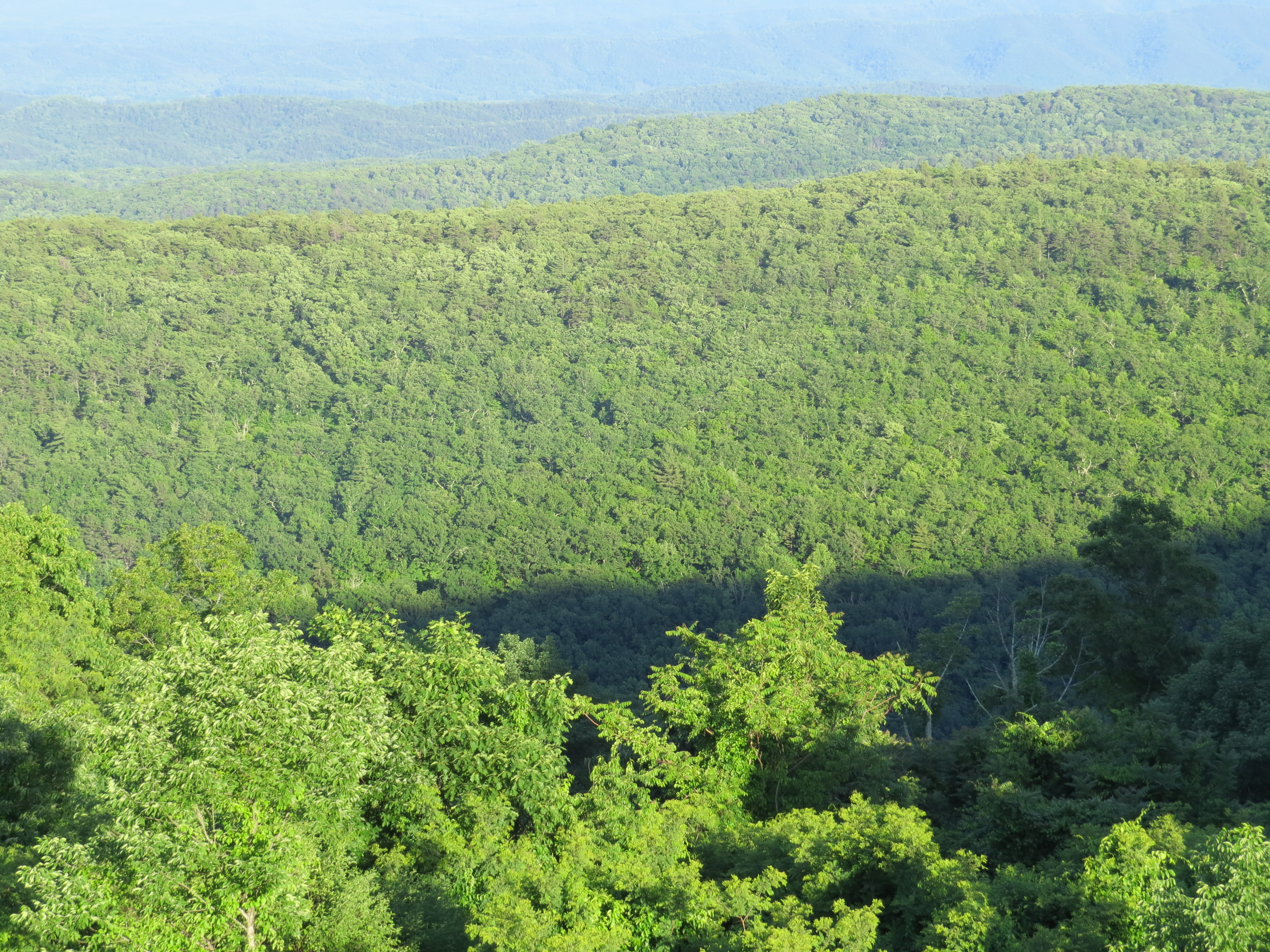
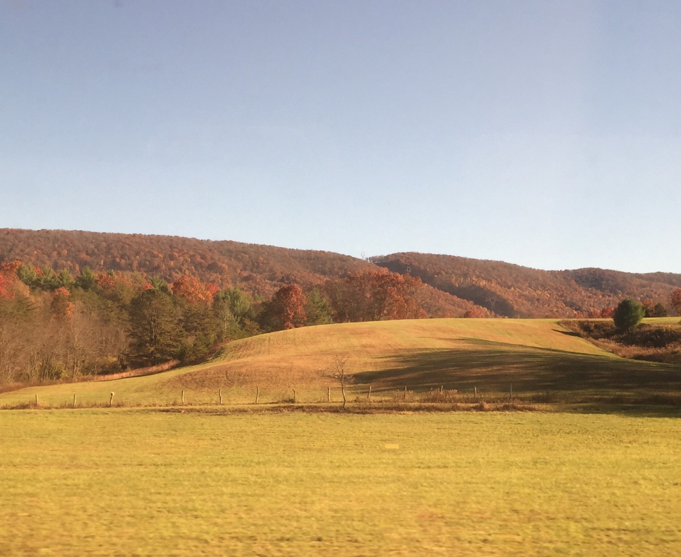
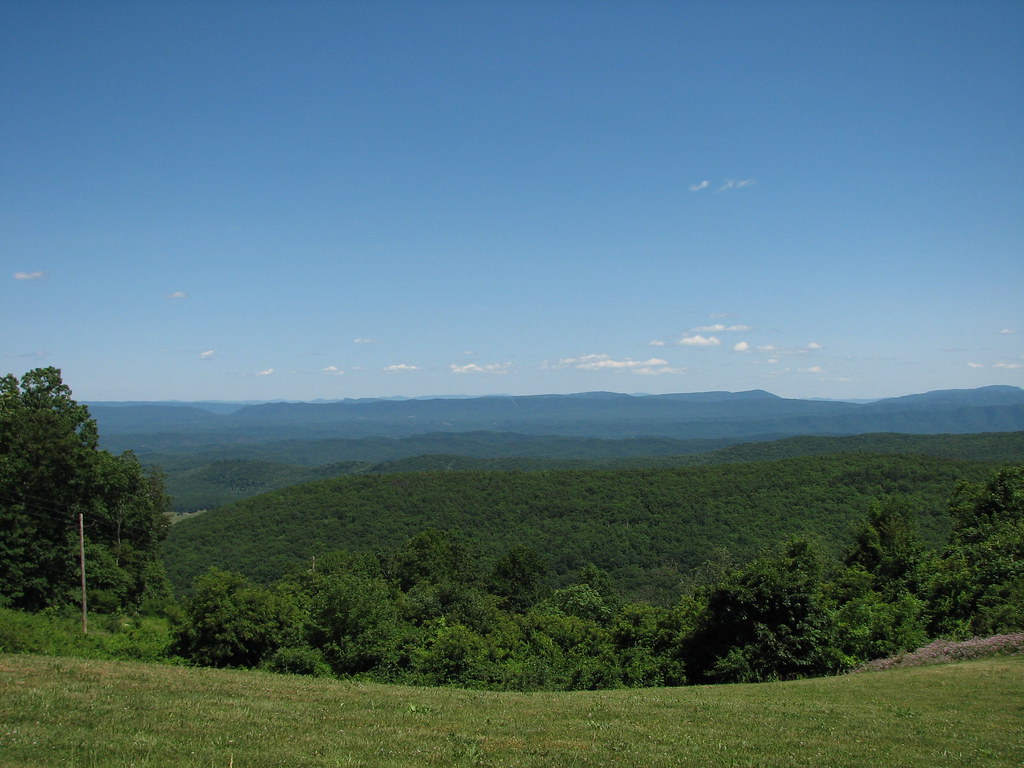
Virginia Mountains
Ingall's Overlook
Dan Ingalls Overlook
Hidden Valley
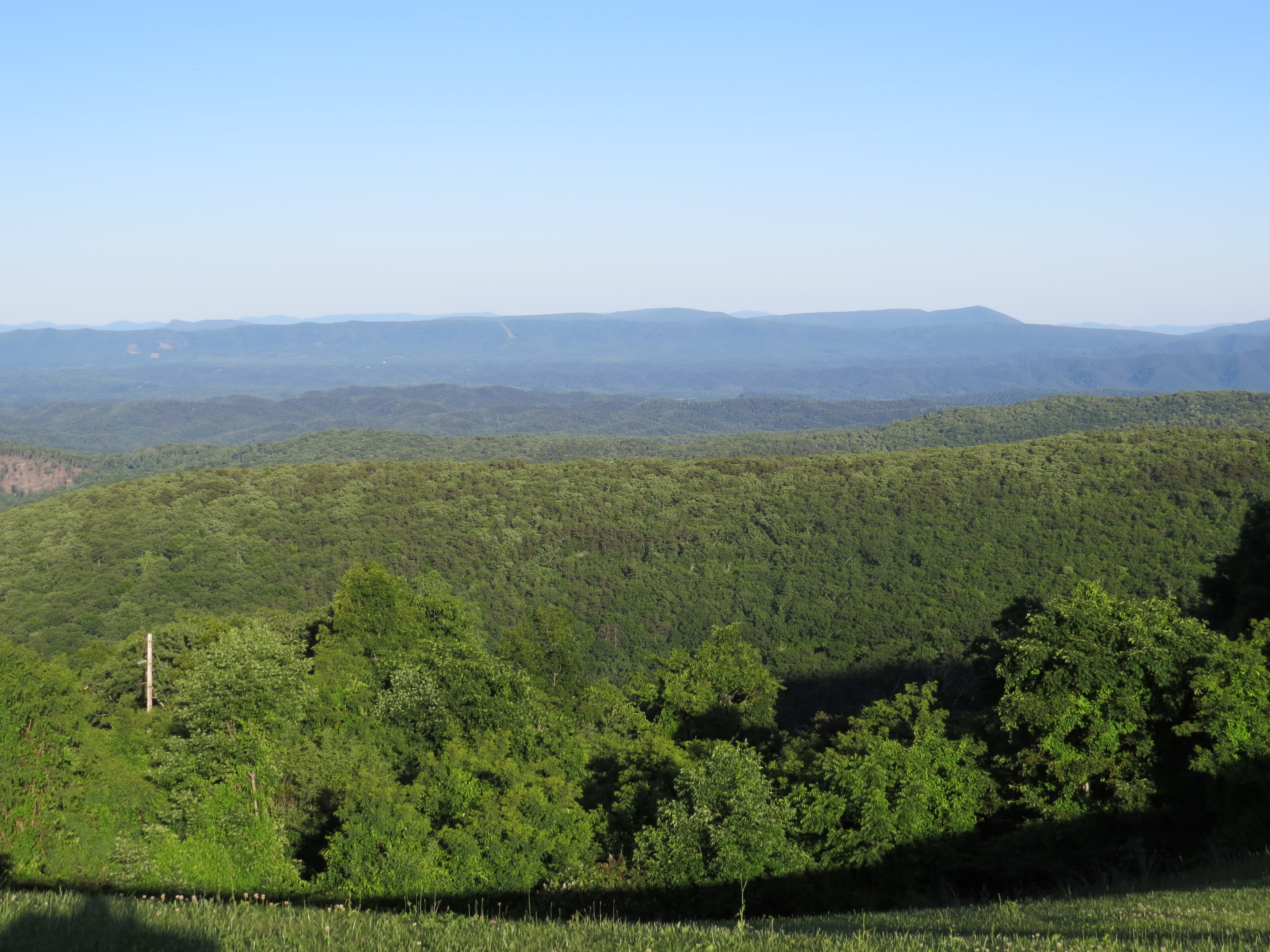
Dan Ingalls Overlook
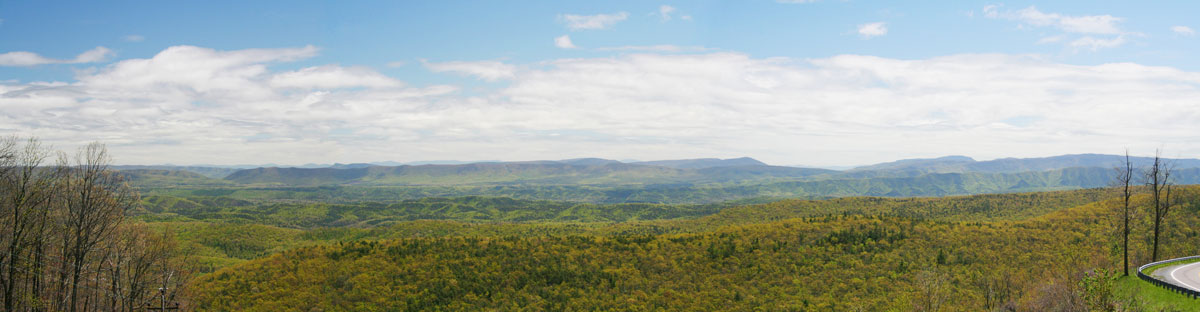
RT 39 Panorama
HM8G3969.jpg
HM8G3961.jpg

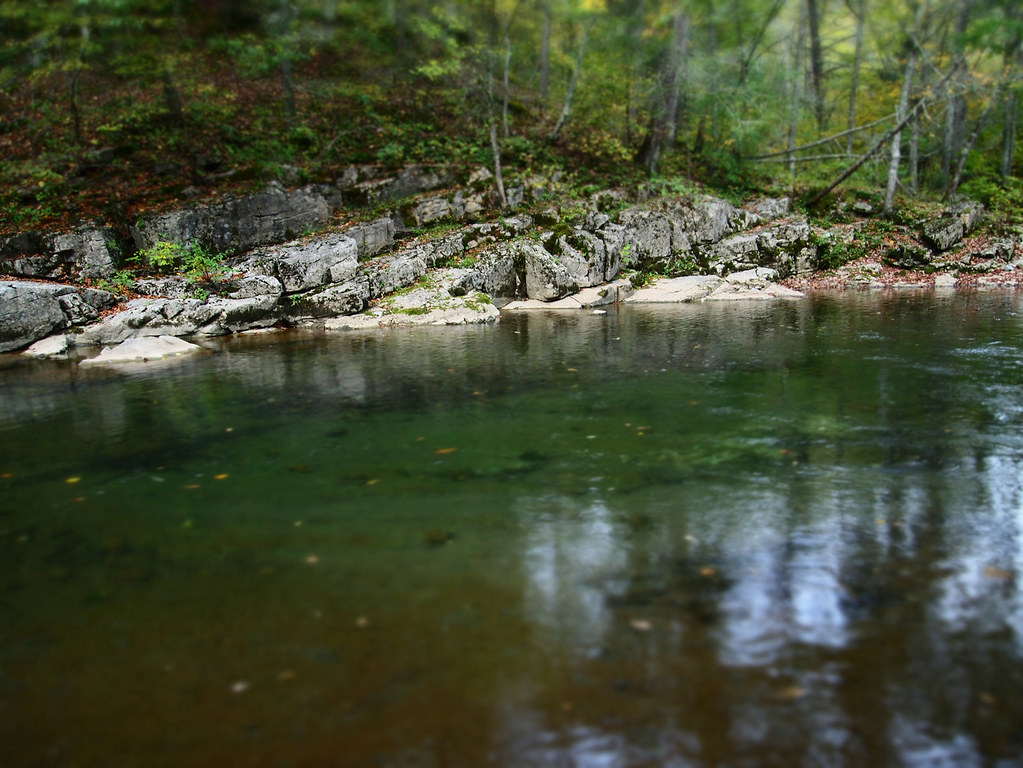
Swimming/Fishing hole
Hwy 39 VA
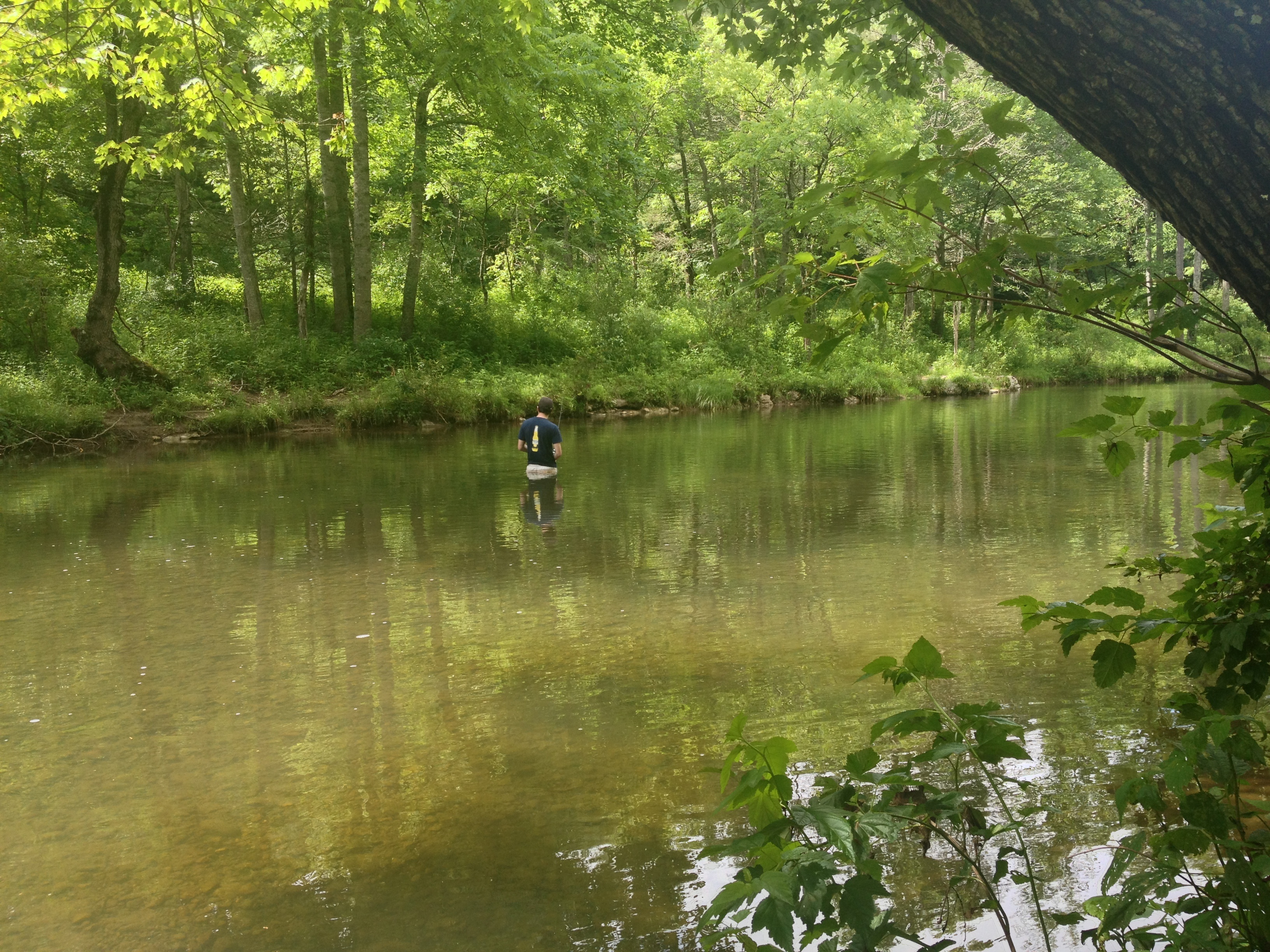
Severin fishing
Topographic Map of Bath County, VA, USA
Find elevation by address:

Places in Bath County, VA, USA:
Places near Bath County, VA, USA:
2700 Westminster Rd
3068 River Rd
603 Old Plantation Way
Fort Lewis Lodge & Farm
150 State Rte 625
McClung Dr, Millboro, VA, USA
Mountain Valley Road
Deerfield Rd, Millboro, VA, USA
5311 Pig Run Rd
Pig Run Road
Dream Street
20857 Sam Snead Hwy
Cowpasture River Hwy, Millboro, VA, USA
450 Mill Creek Crossing
Mill Creek Crossing
218 Mont Shenandoah Ln
Mill Creek Road
Mountain Valley Rd, Millboro, VA, USA
Deerfield Road
Dan Ingalls Overlook
Recent Searches:
- Elevation of Corso Fratelli Cairoli, 35, Macerata MC, Italy
- Elevation of Tallevast Rd, Sarasota, FL, USA
- Elevation of 4th St E, Sonoma, CA, USA
- Elevation of Black Hollow Rd, Pennsdale, PA, USA
- Elevation of Oakland Ave, Williamsport, PA, USA
- Elevation of Pedrógão Grande, Portugal
- Elevation of Klee Dr, Martinsburg, WV, USA
- Elevation of Via Roma, Pieranica CR, Italy
- Elevation of Tavkvetili Mountain, Georgia
- Elevation of Hartfords Bluff Cir, Mt Pleasant, SC, USA