Elevation of Pig Run Road, Pig Run Rd, Millboro, VA, USA
Location: United States > Virginia > Bath County > Millboro > Millboro >
Longitude: -79.593012
Latitude: 38.0330357
Elevation: 488m / 1601feet
Barometric Pressure: 96KPa
Elevation Map:
Satellite Map:
Related Photos:
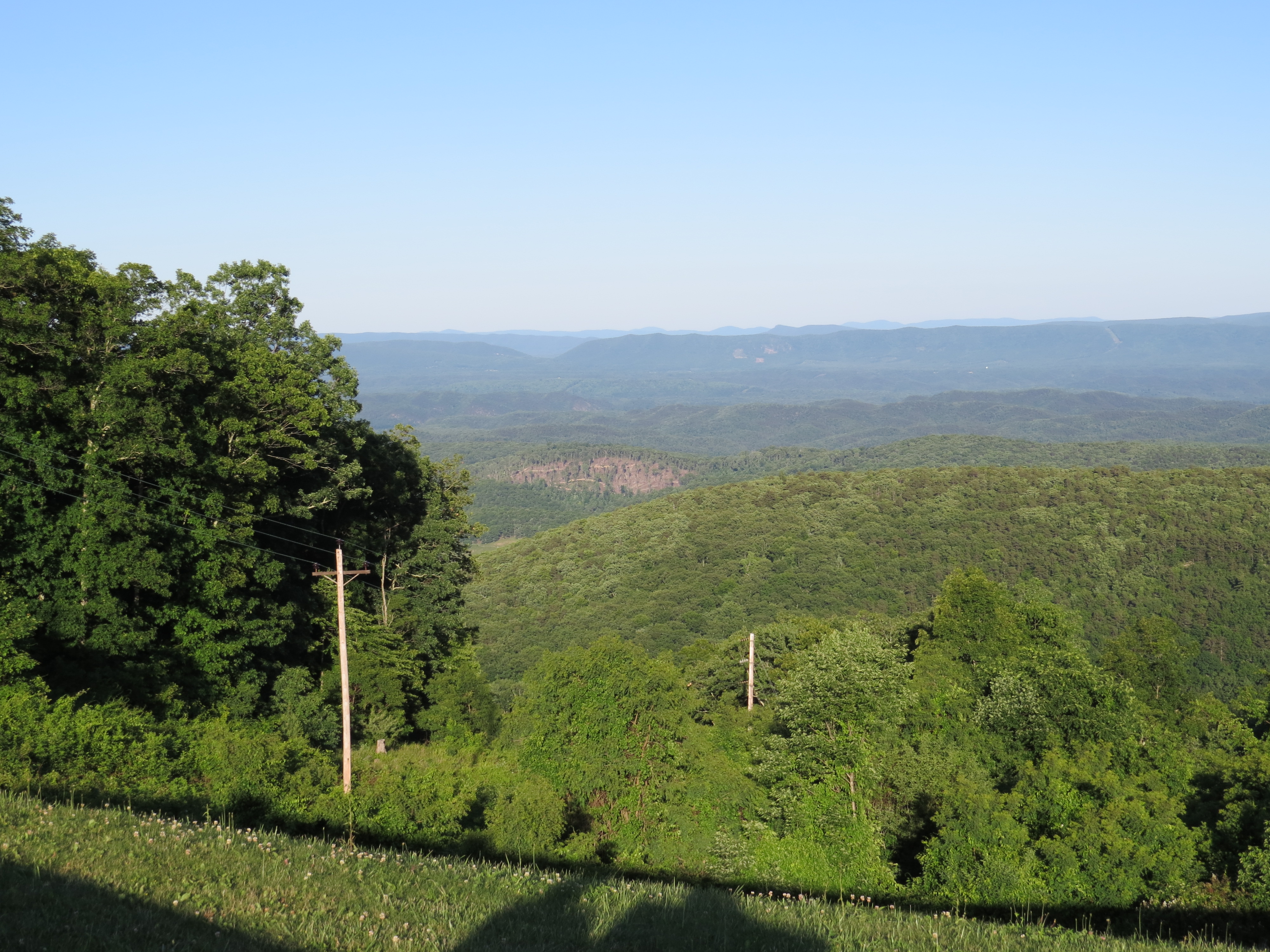
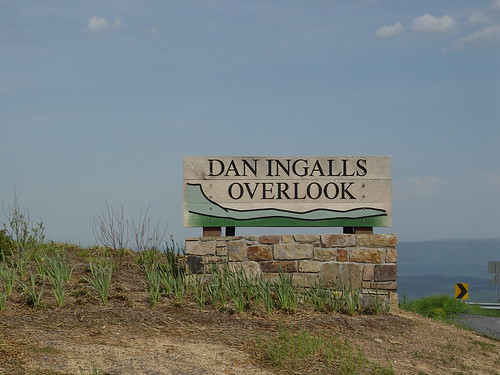
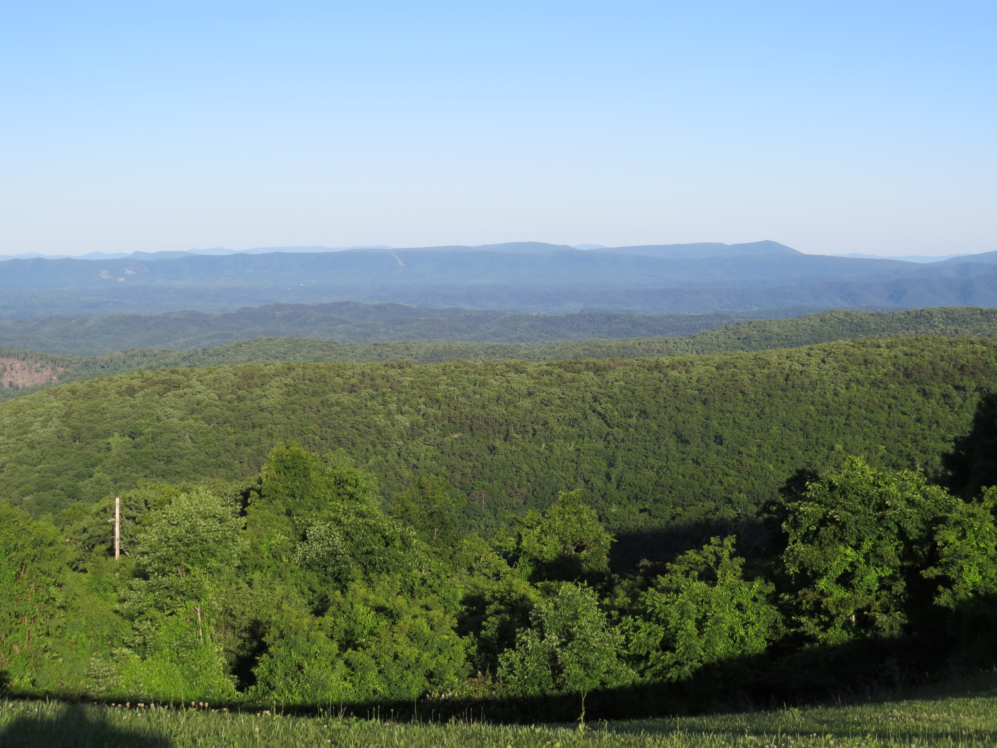
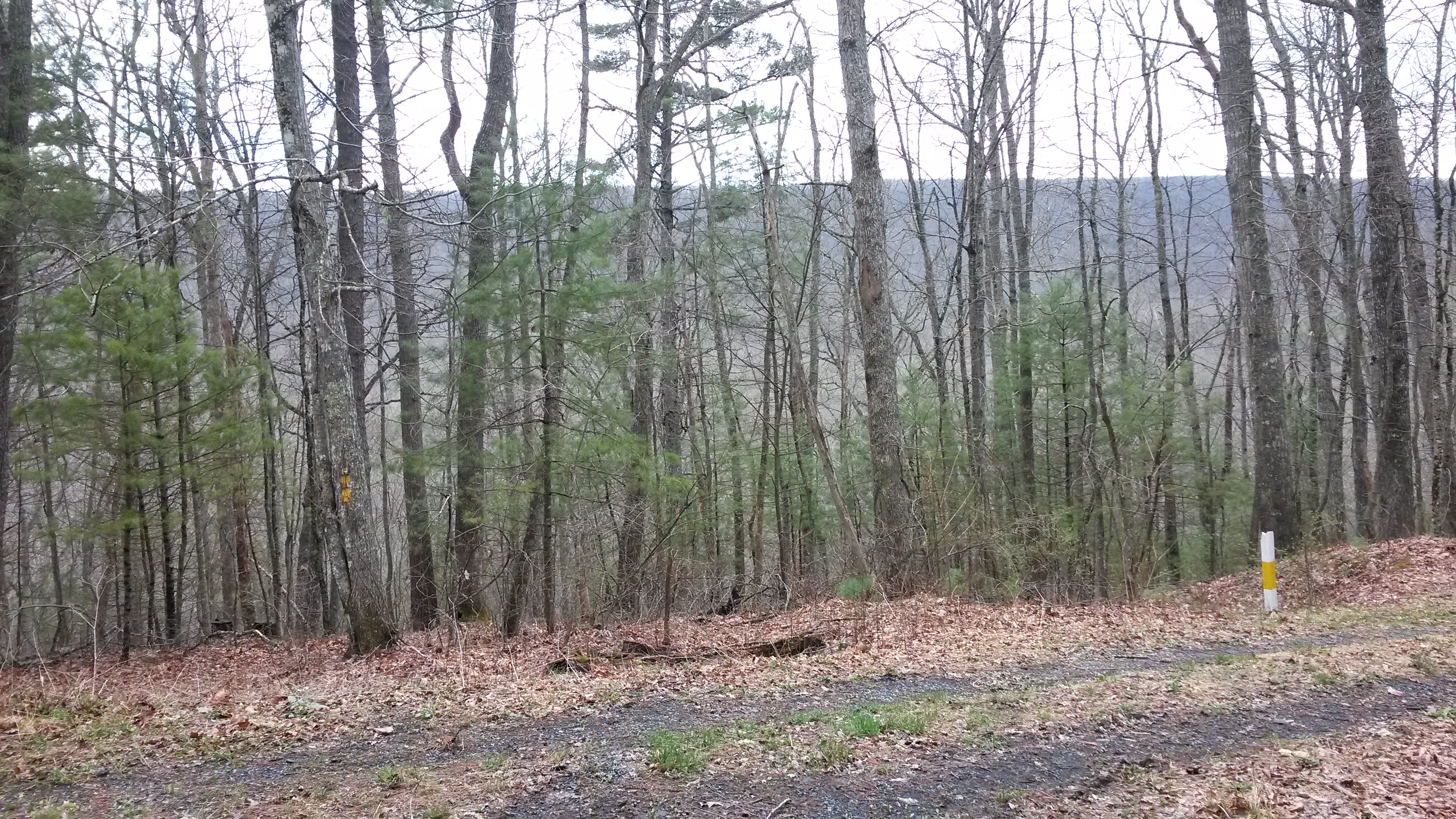
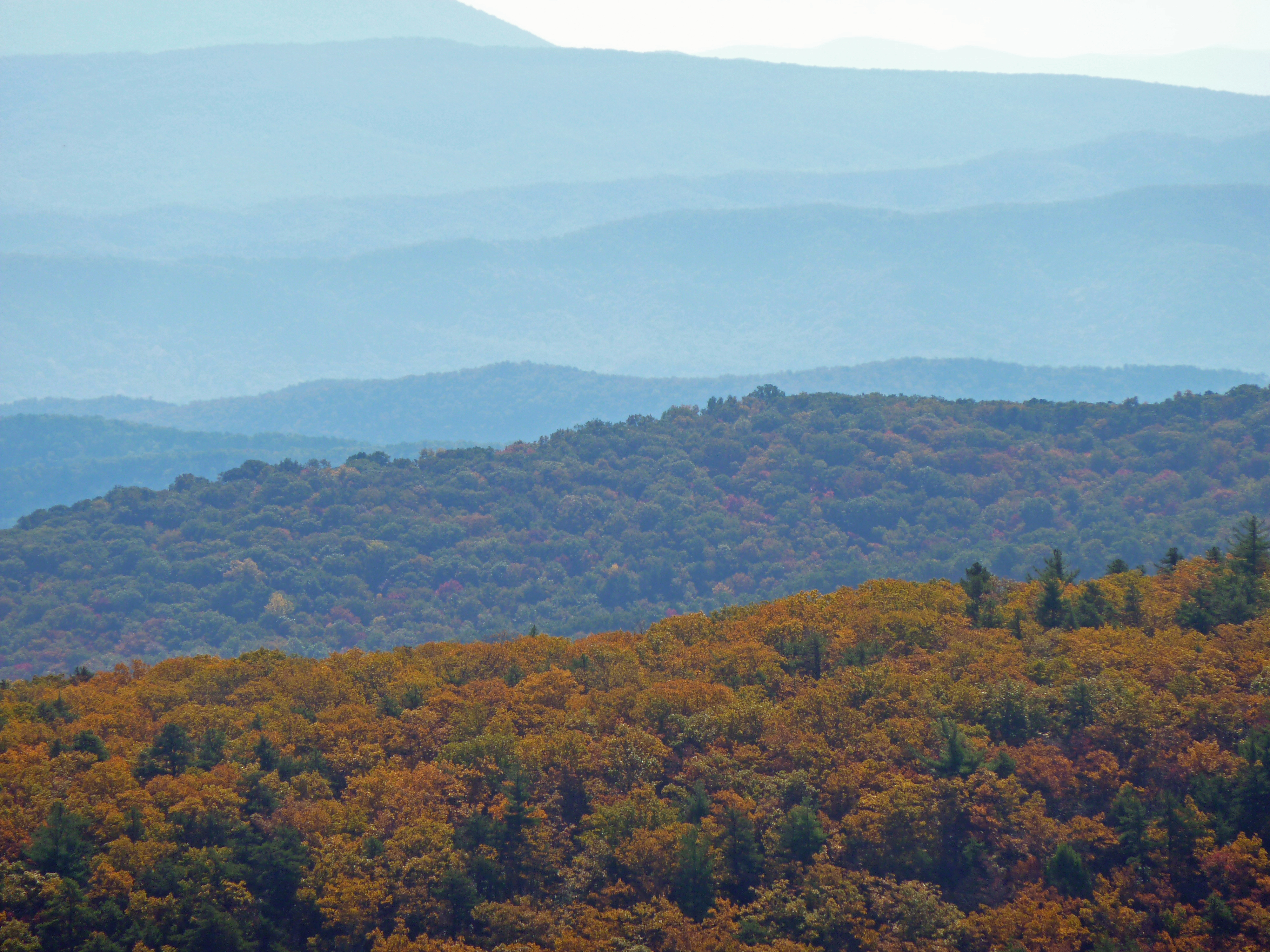
Dan Ingalls Overlook
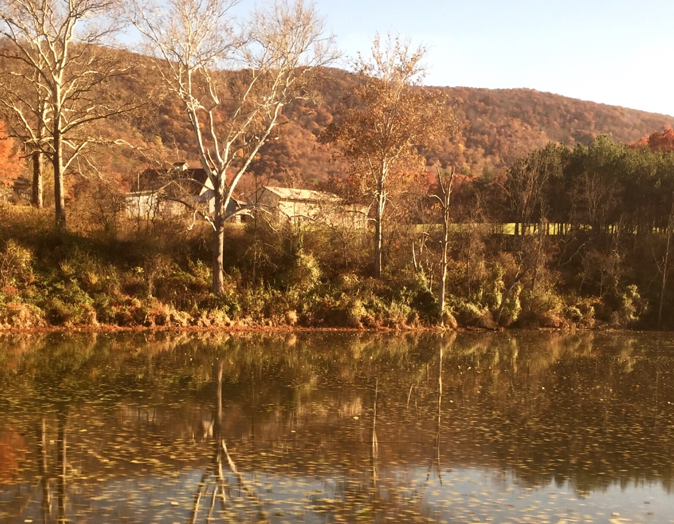
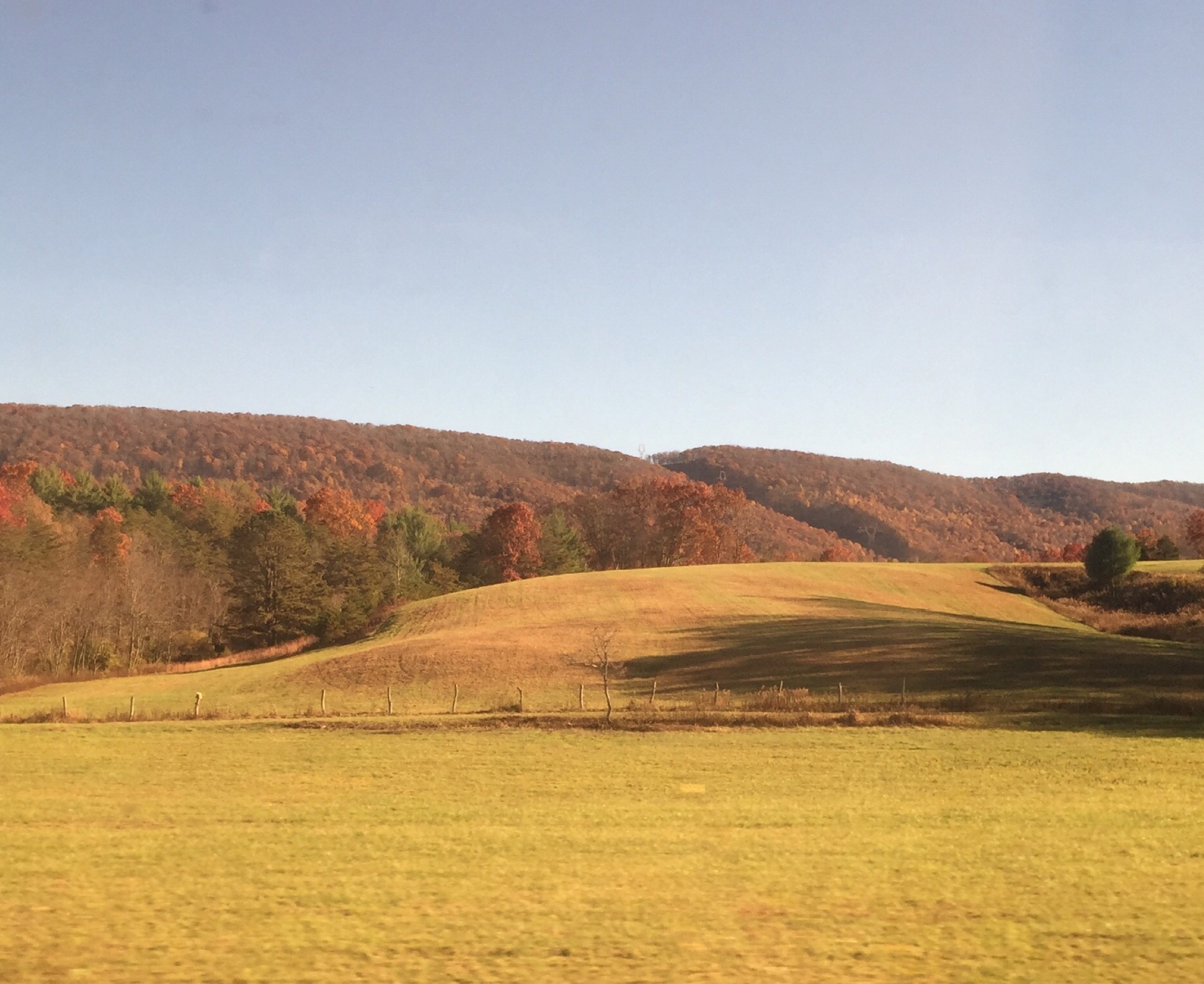
Passing by a pond in the Fall
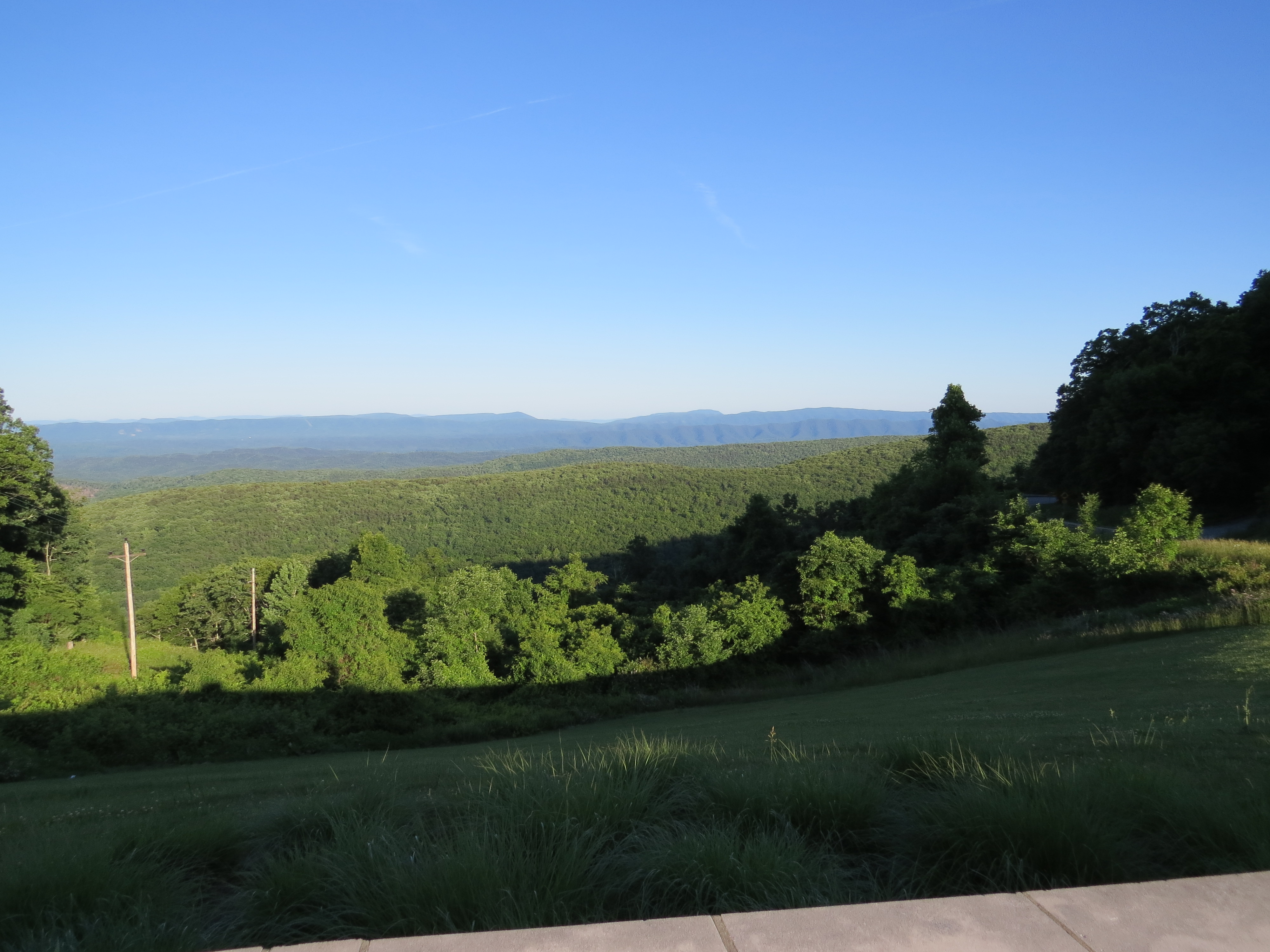
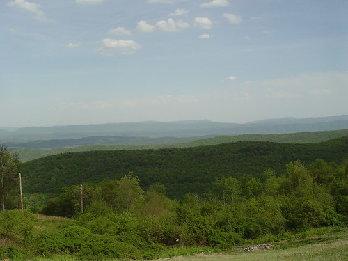
Dan Ingalls Overlook
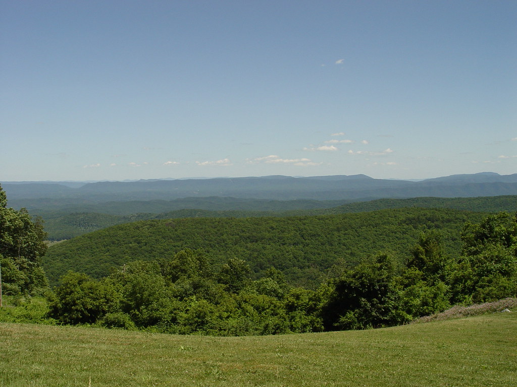
Dan Ingalls Overlook
Ingall's Overlook
Ingall's Overlook
Goshen Virginia
Ingall's Overlook

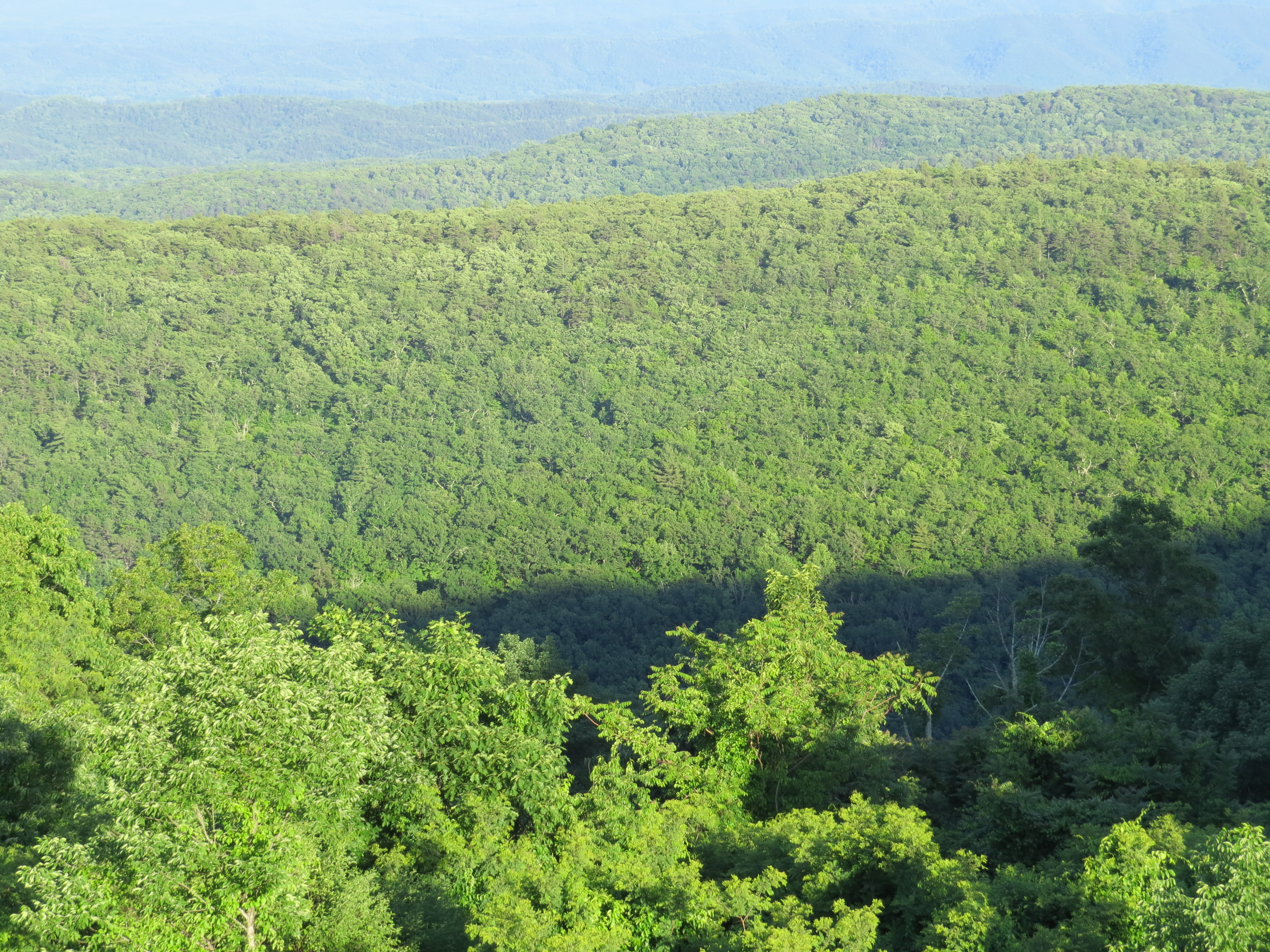
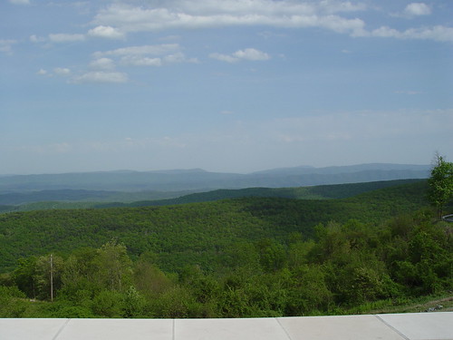
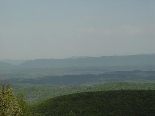
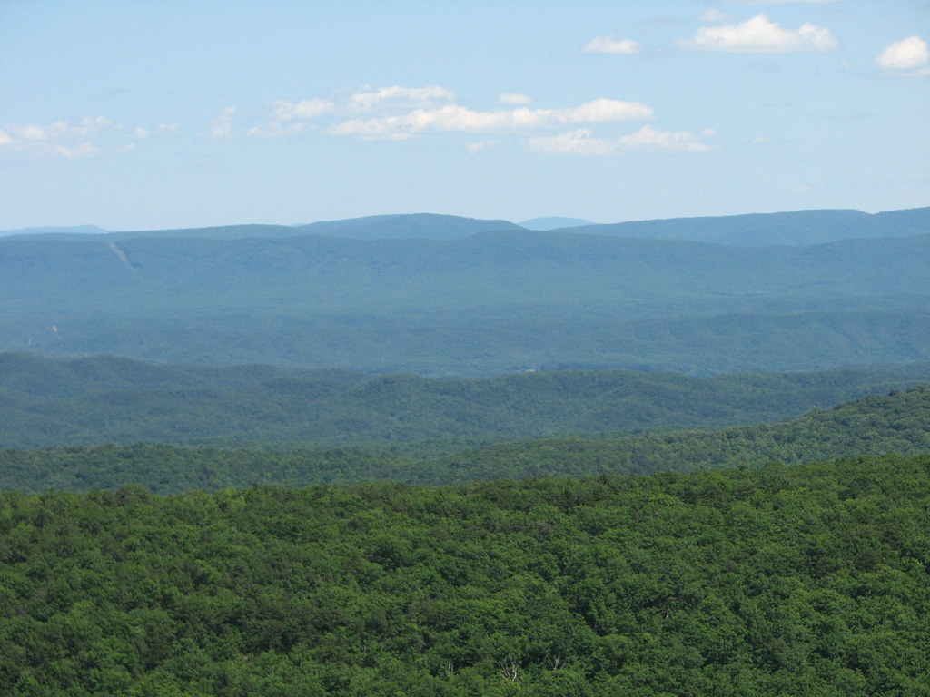
Virginia Mountains
On the Cardinal in Western Virginia
Dan Ingalls Overlook
Ingall's Overlook
INGALLS OVERLOOK
Walker Mountain Bath county side VA. USA 3600 ft elevation 2.5 hr climb no views .
DAN INGALLS OVERLOOK

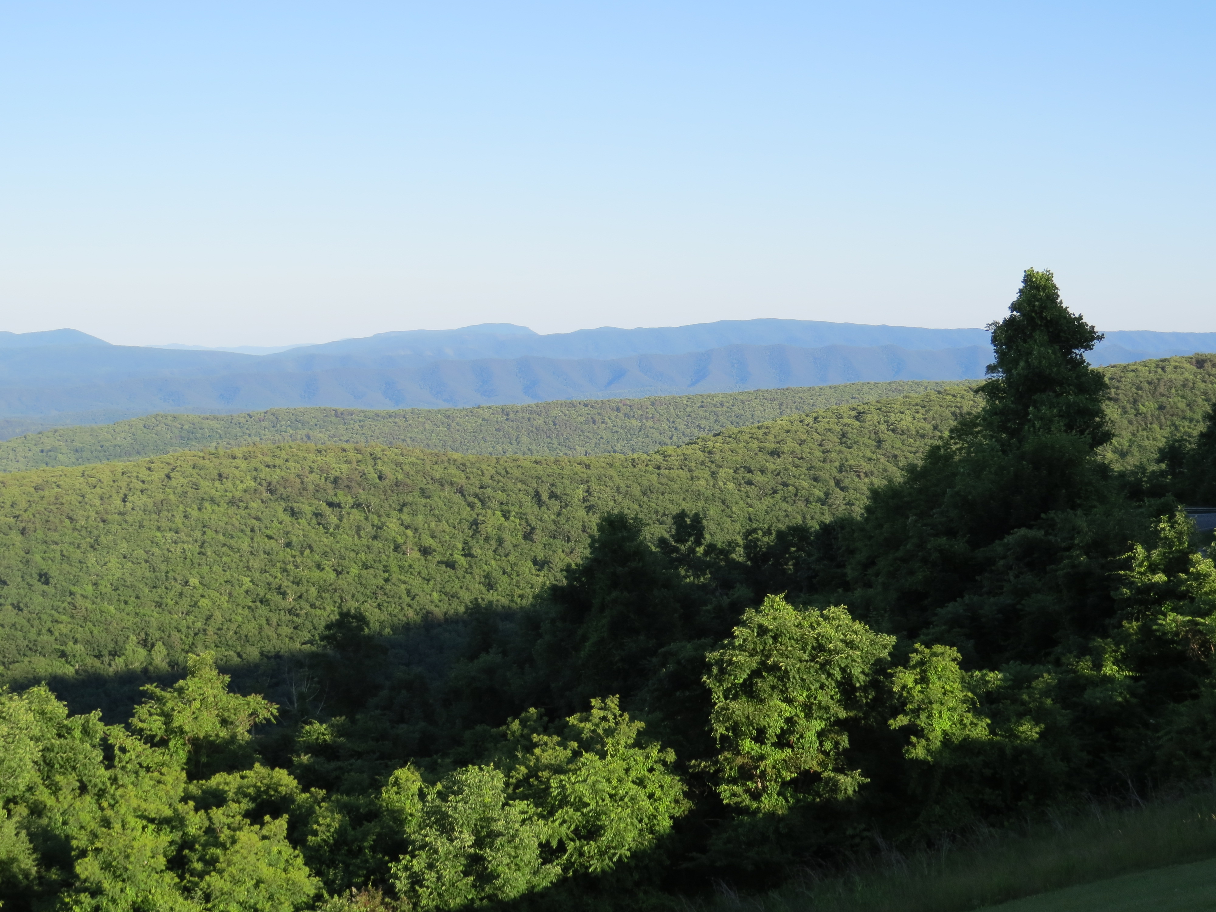
Virginia Mountains

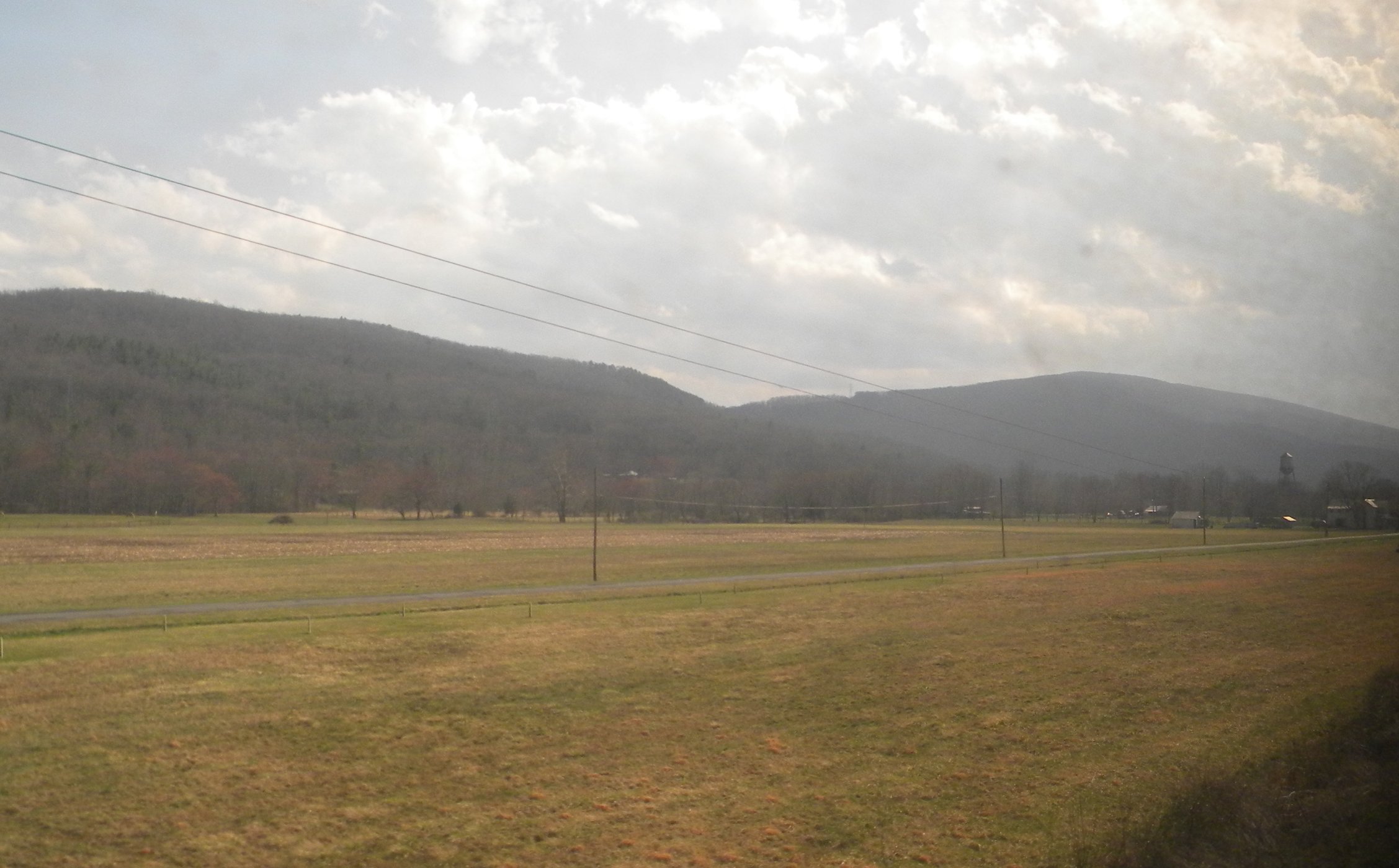
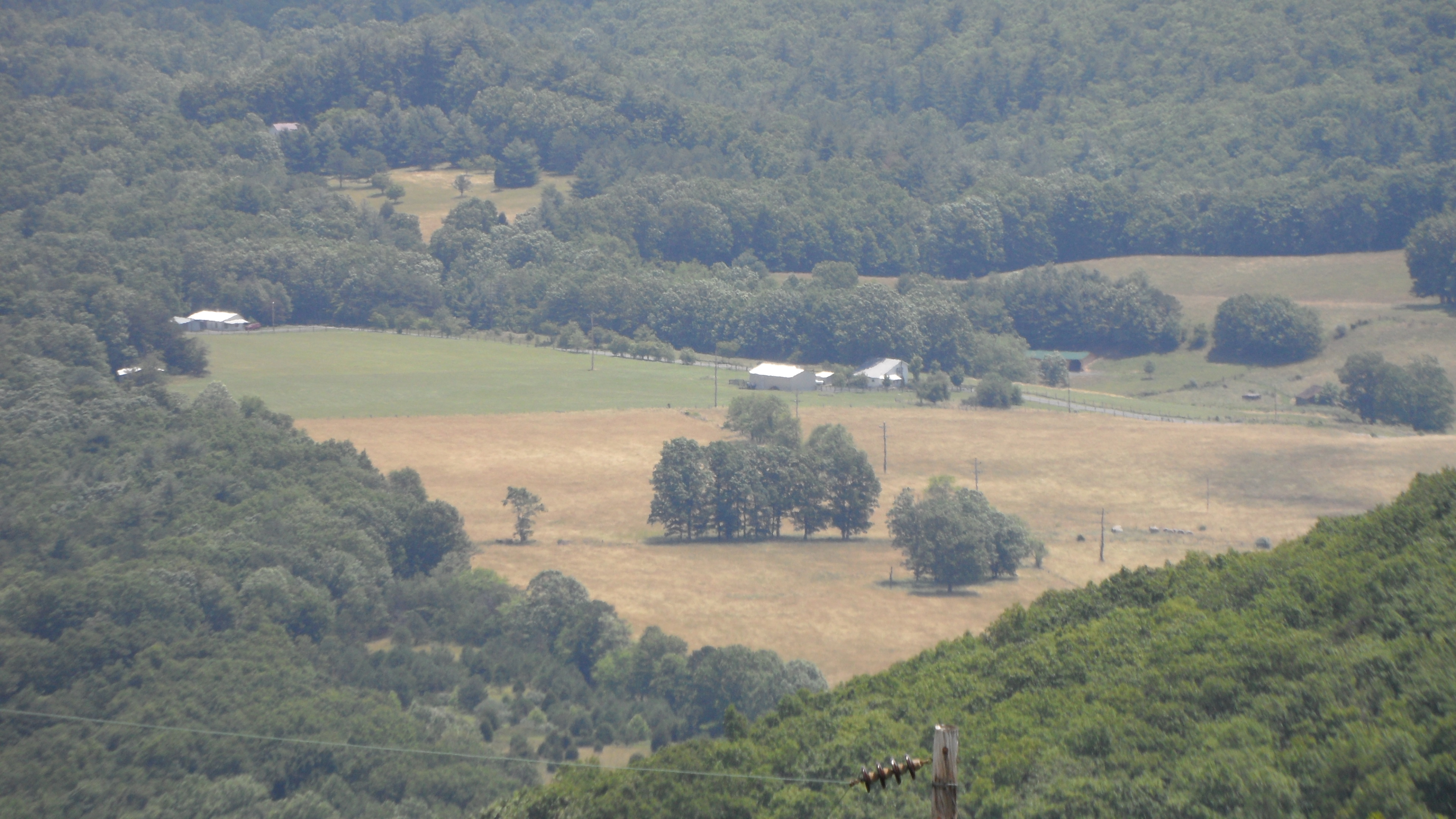
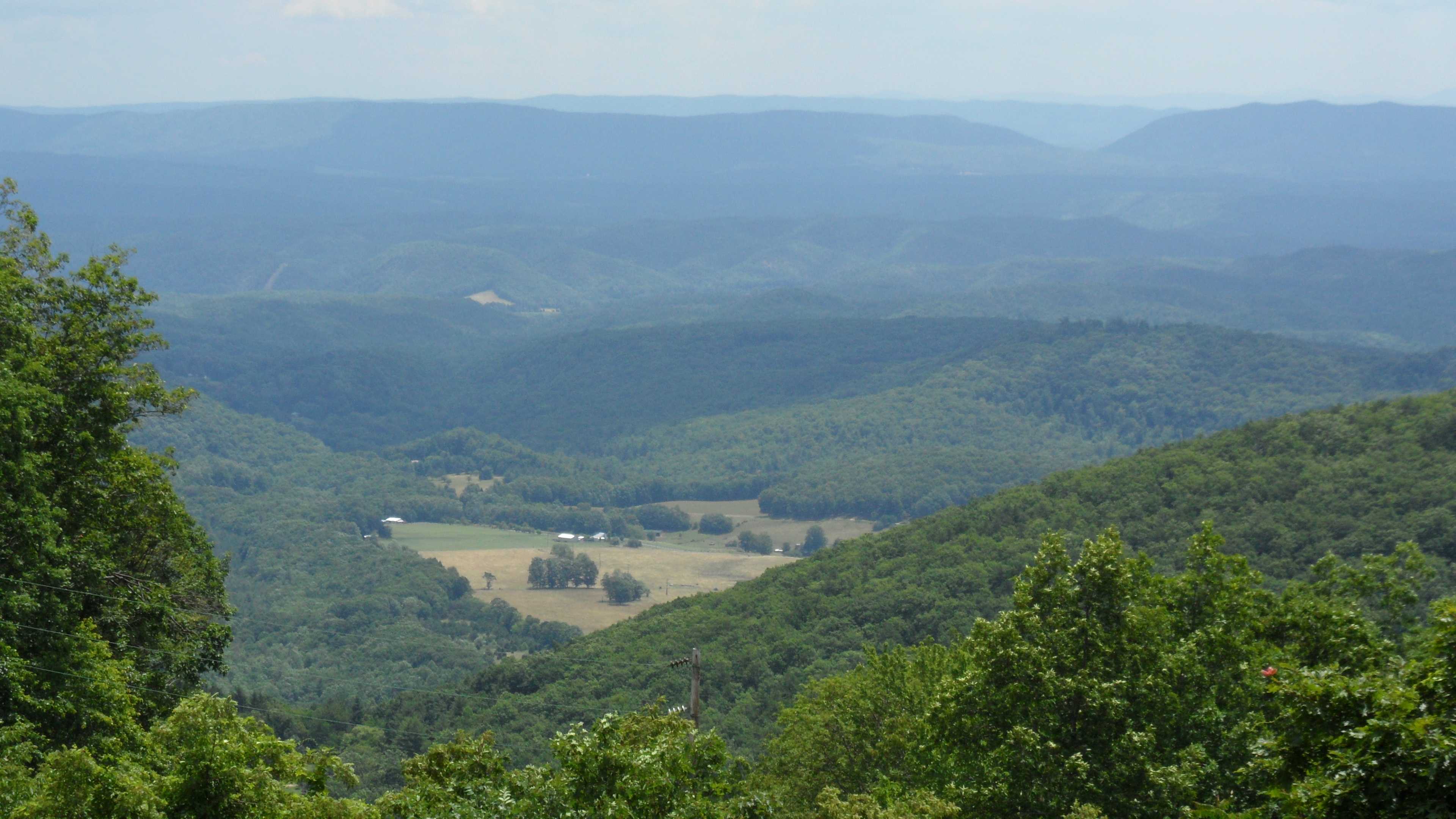
Our farm as viewed from the George Washington National Forest
Dan Ingalls Overlook
DAN INGALLS OVERLOOK
Ingall's Overlook

Virginia Mountains - B&W

Calfpasture River - Goshen, VA

Panorama of Virginia Landscape
Scouting Goshen Pass
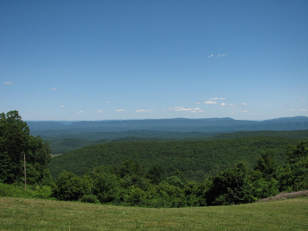
Central VA
RT 39 Panorama
Hwy 39 VA
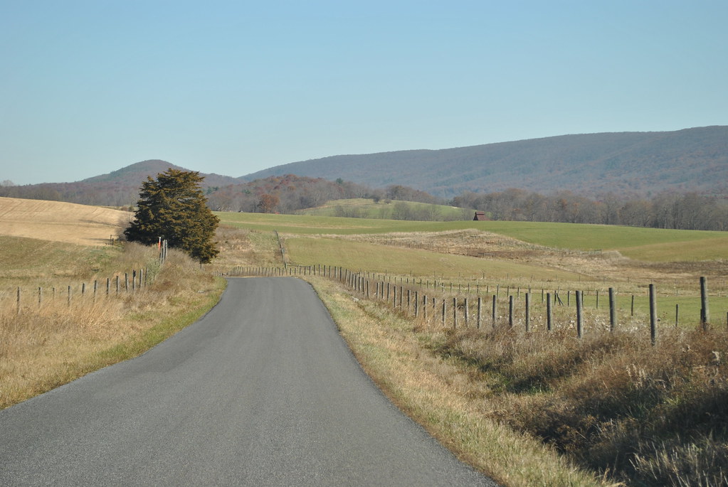
COUNTRY ROAD
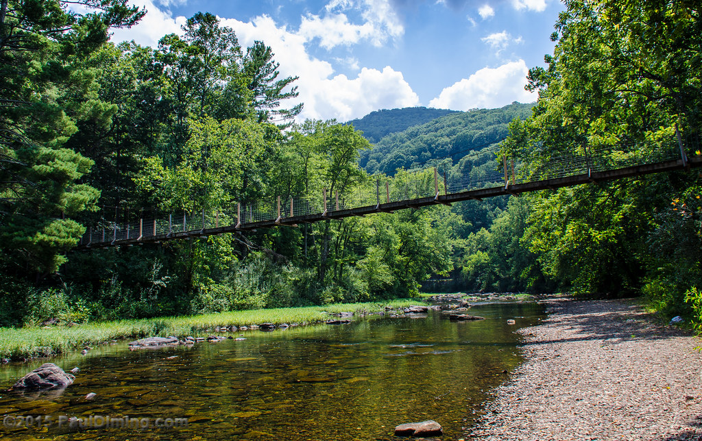
Footbridge Over the Maury River in Goshen Pass - Goshen, VA

Hwy 39 VA

Camera Roll-937
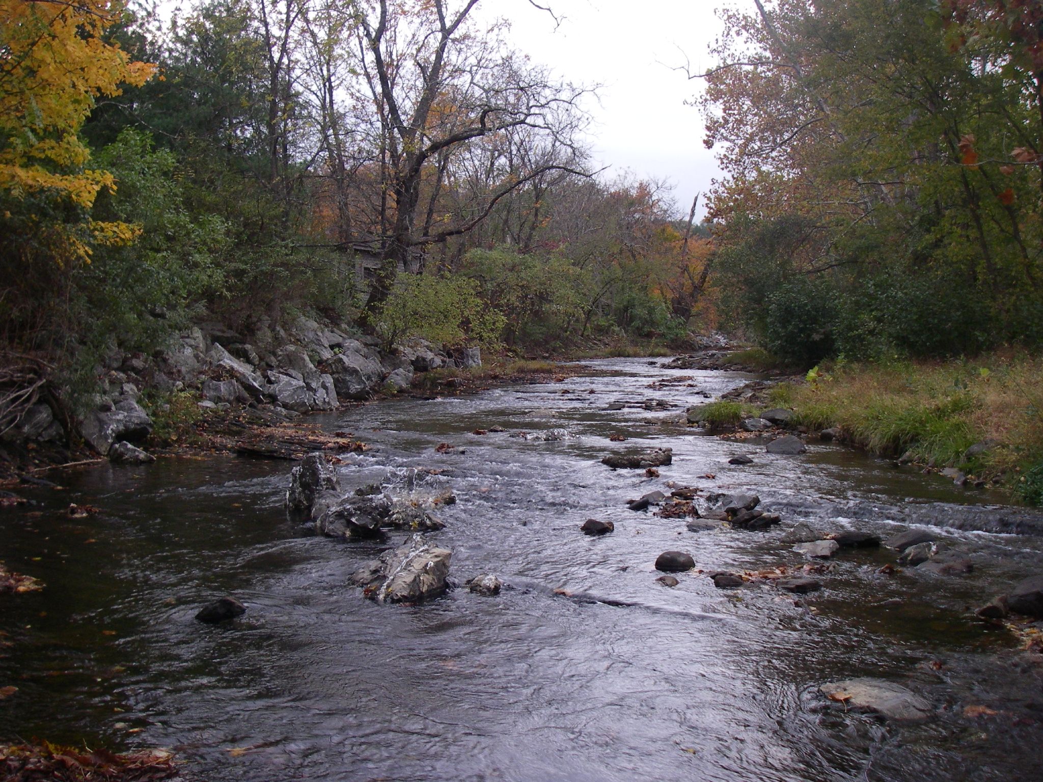
Mill Creek
Overlook east of Warm Springs, VA

The old fire tower
Hwy 39 VA

Warm Springs Mountain
Topographic Map of Pig Run Road, Pig Run Rd, Millboro, VA, USA
Find elevation by address:

Places near Pig Run Road, Pig Run Rd, Millboro, VA, USA:
Dream Street
5311 Pig Run Rd
Mountain Valley Rd, Millboro, VA, USA
Hotchkiss
1511 Mill Creek Rd
Cowpasture River Hwy, Millboro, VA, USA
Mountain Valley Road
Millboro
450 Mill Creek Crossing
Mill Creek Crossing
Mill Creek Road
Deerfield Rd, Millboro, VA, USA
218 Mont Shenandoah Ln
3068 River Rd
6482 Mill Creek Rd
Fort Lewis Lodge & Farm
580 Virginia Ave
603 Old Plantation Way
6822 Mill Creek Rd
Fort Dickinson
Recent Searches:
- Elevation of Felindre, Swansea SA5 7LU, UK
- Elevation of Leyte Industrial Development Estate, Isabel, Leyte, Philippines
- Elevation of W Granada St, Tampa, FL, USA
- Elevation of Pykes Down, Ivybridge PL21 0BY, UK
- Elevation of Jalan Senandin, Lutong, Miri, Sarawak, Malaysia
- Elevation of Bilohirs'k
- Elevation of 30 Oak Lawn Dr, Barkhamsted, CT, USA
- Elevation of Luther Road, Luther Rd, Auburn, CA, USA
- Elevation of Unnamed Road, Respublika Severnaya Osetiya — Alaniya, Russia
- Elevation of Verkhny Fiagdon, North Ossetia–Alania Republic, Russia