Elevation of Williamsville, VA, USA
Location: United States > Virginia > Bath County >
Longitude: -79.605288
Latitude: 38.1495655
Elevation: 525m / 1722feet
Barometric Pressure: 95KPa
Elevation Map:
Satellite Map:
Related Photos:
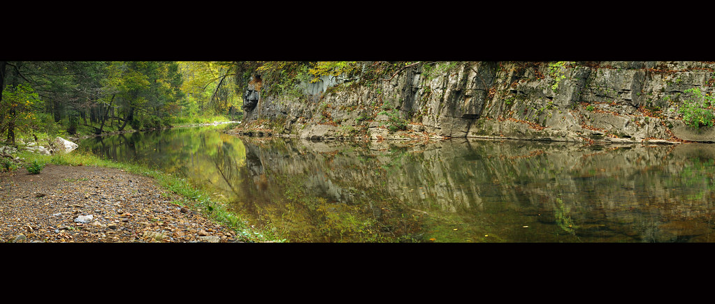
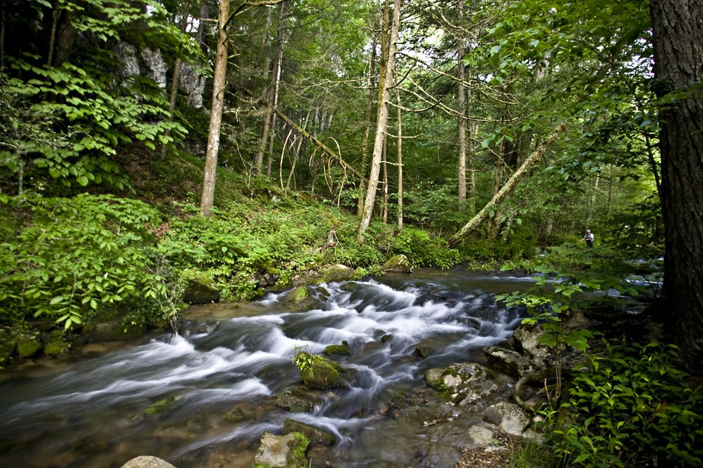
Bullpasture River Panorama
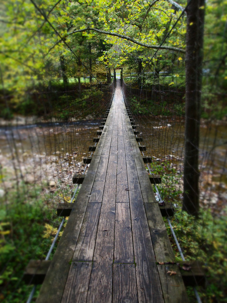
The Bullpasture River Gorge Footbridge
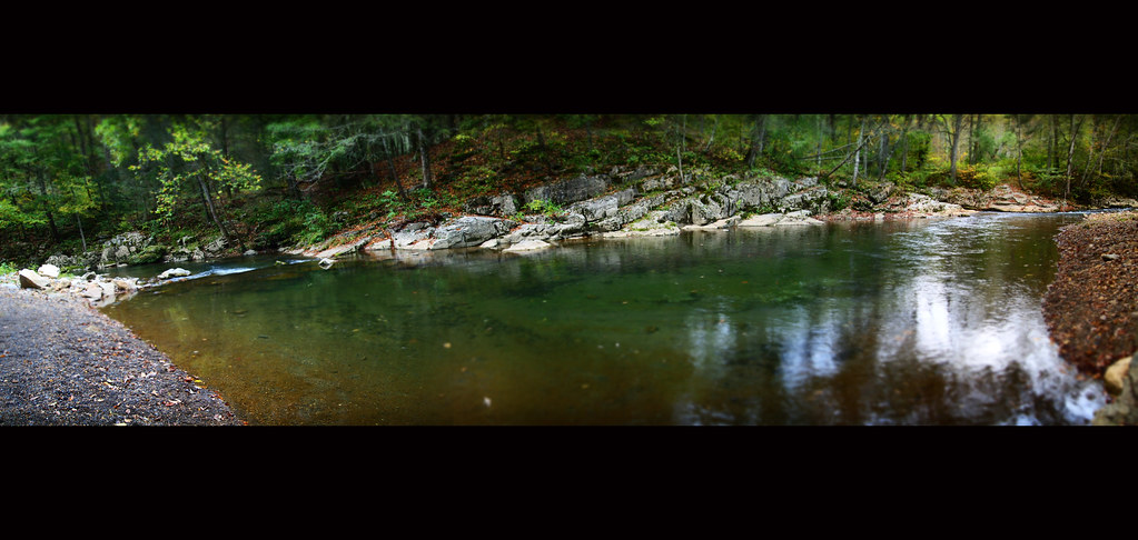
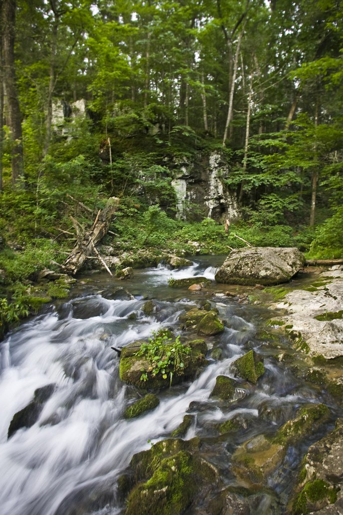
Bullpasture River Diorama Panorama
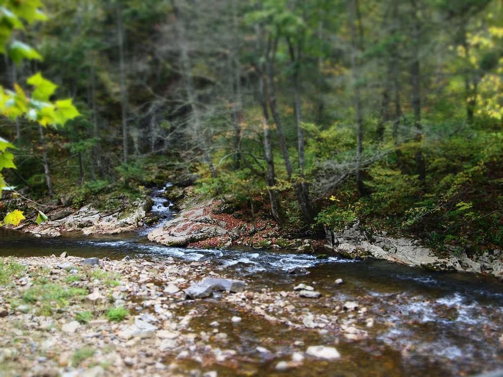
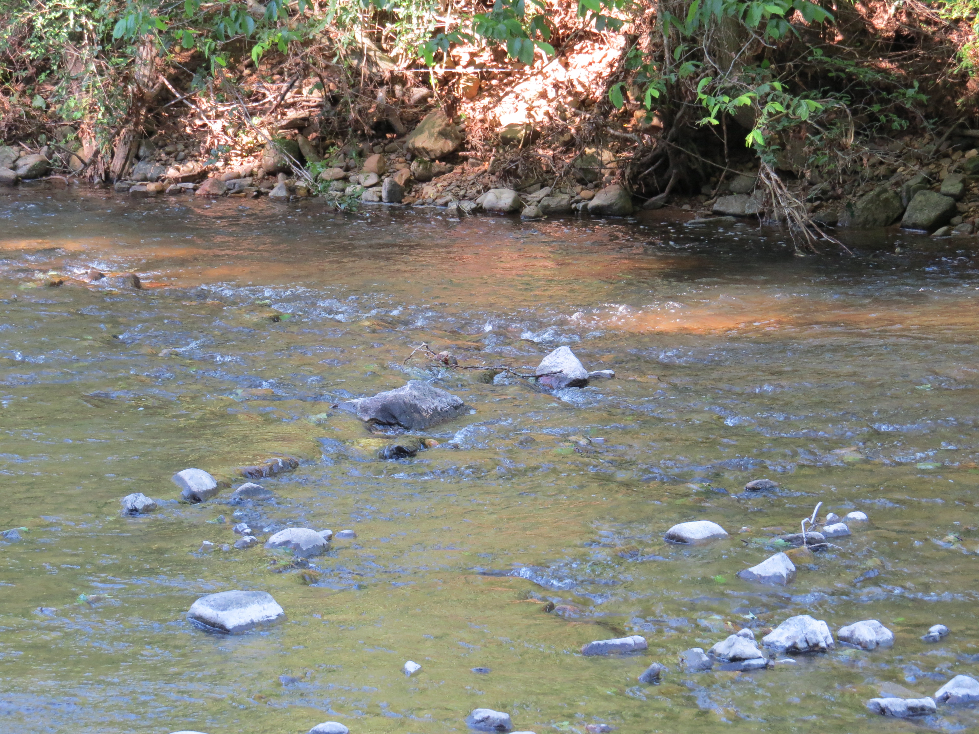
Bullpasture River
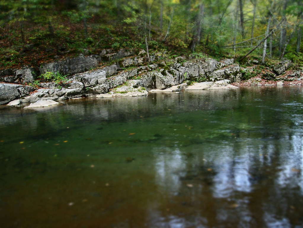
Bullpasture River
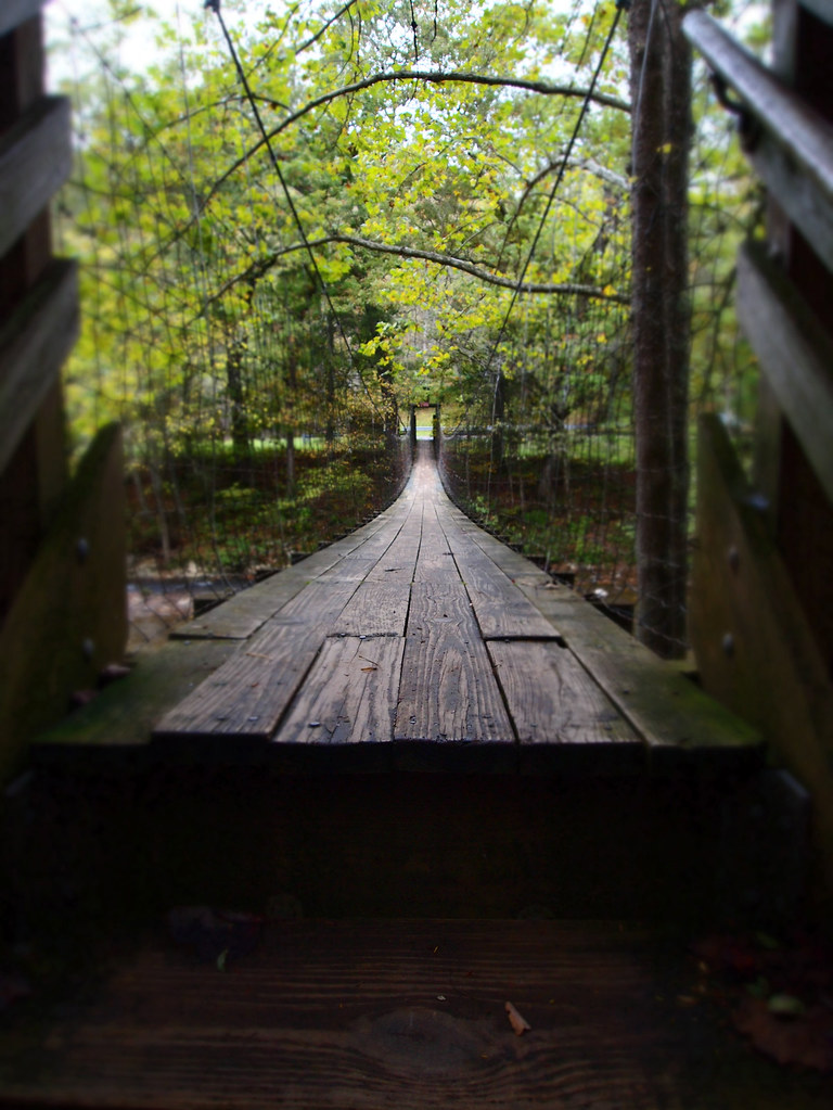
The Bullpasture River Gorge Footbridge

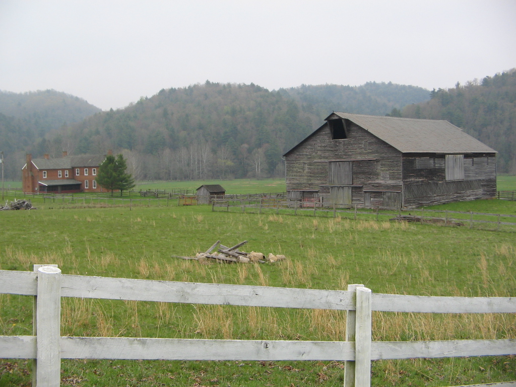
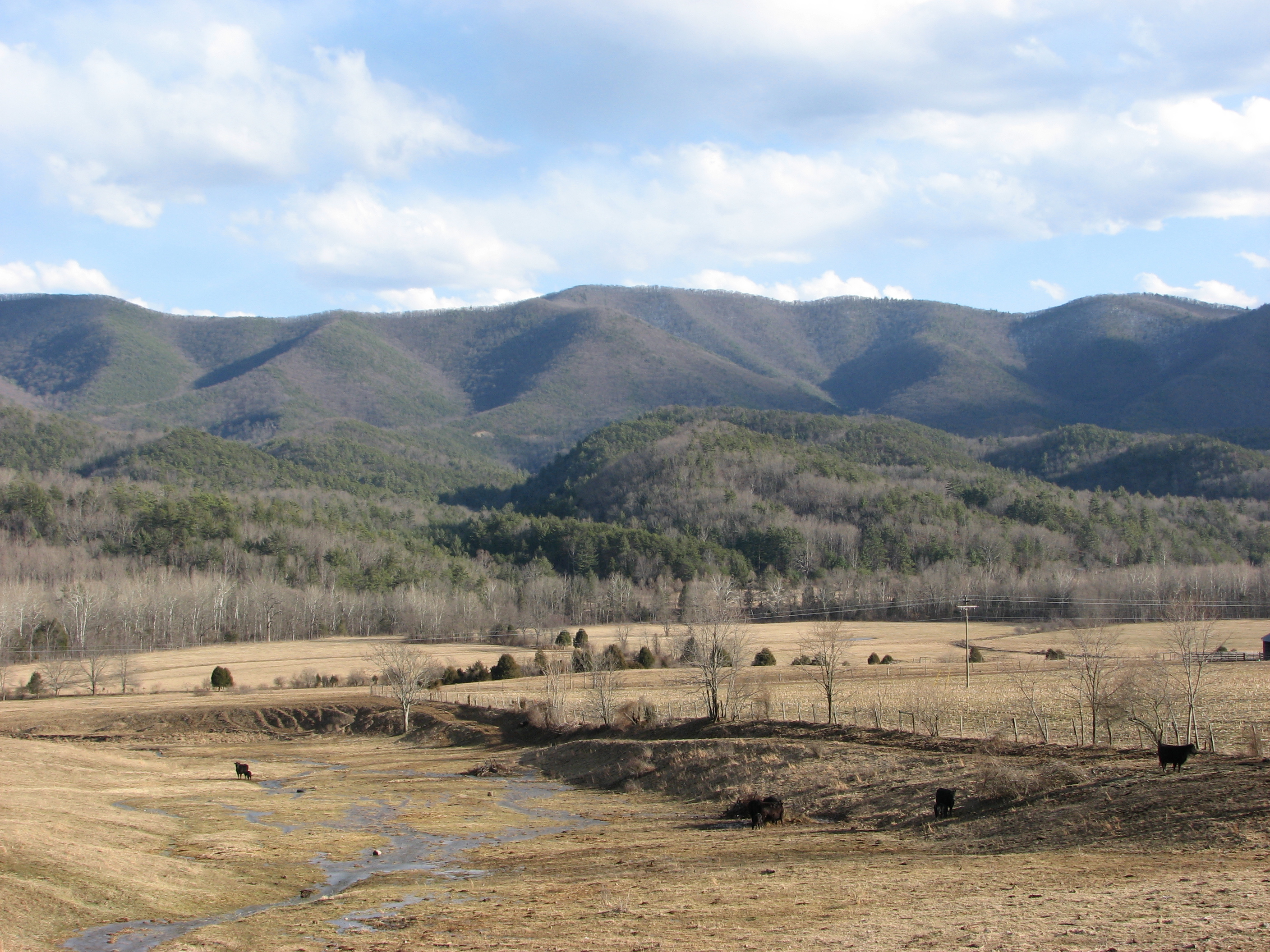
Our farm as viewed from the George Washington National Forest
HM8G3969.jpg
HM8G3961.jpg

Swimming/Fishing hole
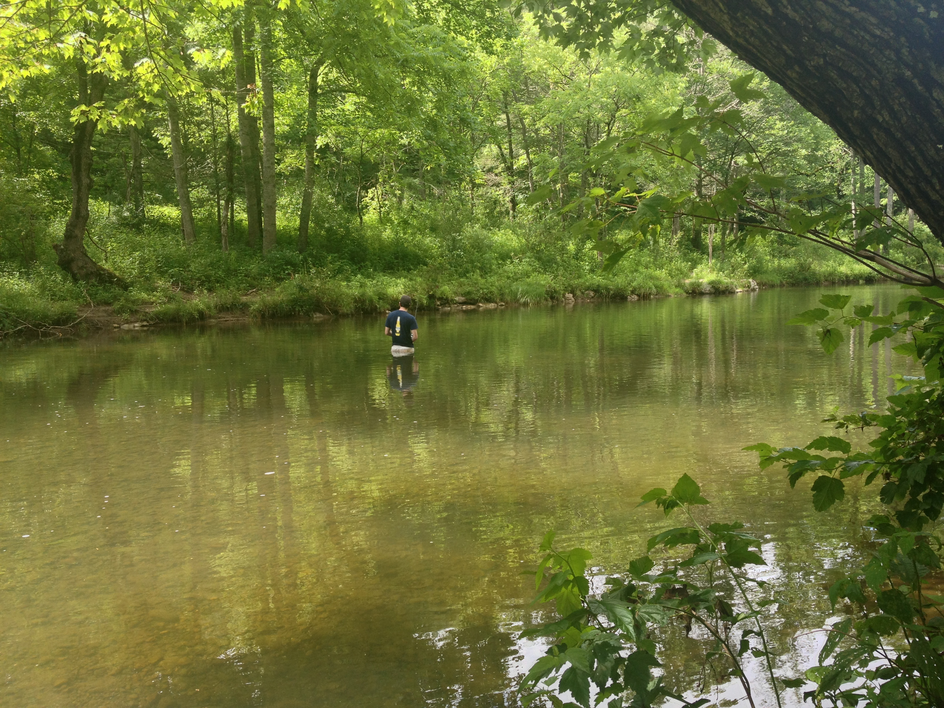
Severin fishing

IMG_2649.JPG
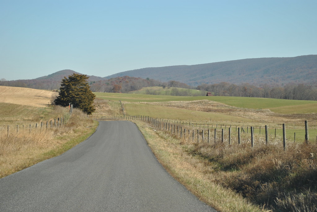
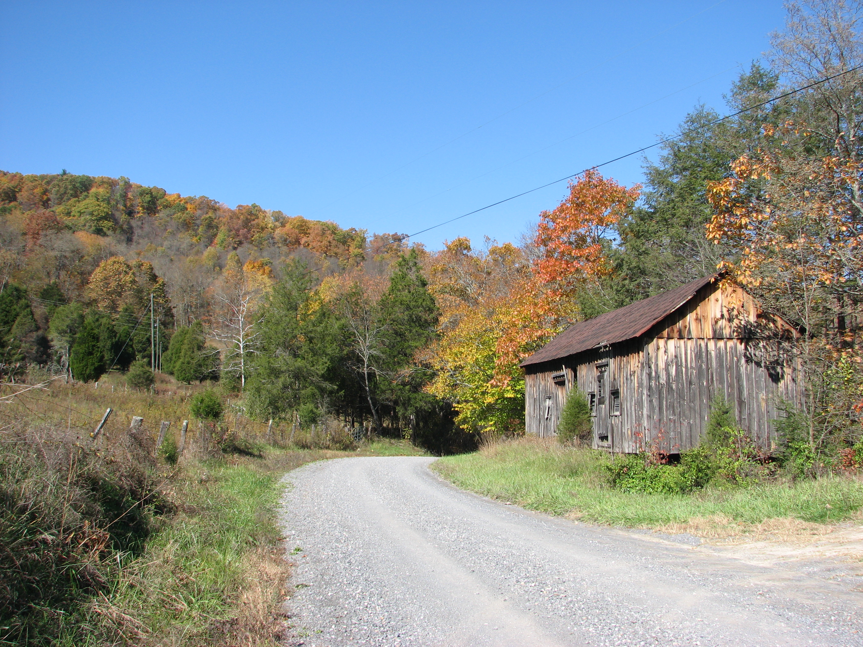
COUNTRY ROAD
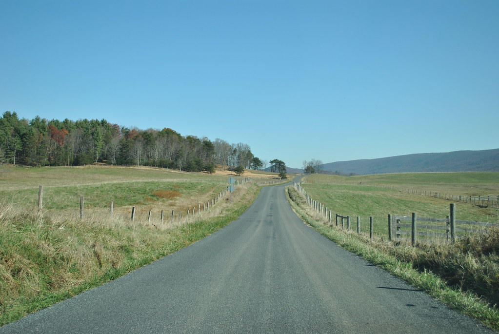
COUNTRY ROADS
Jackson River

The old fire tower
IMG_2663.JPG
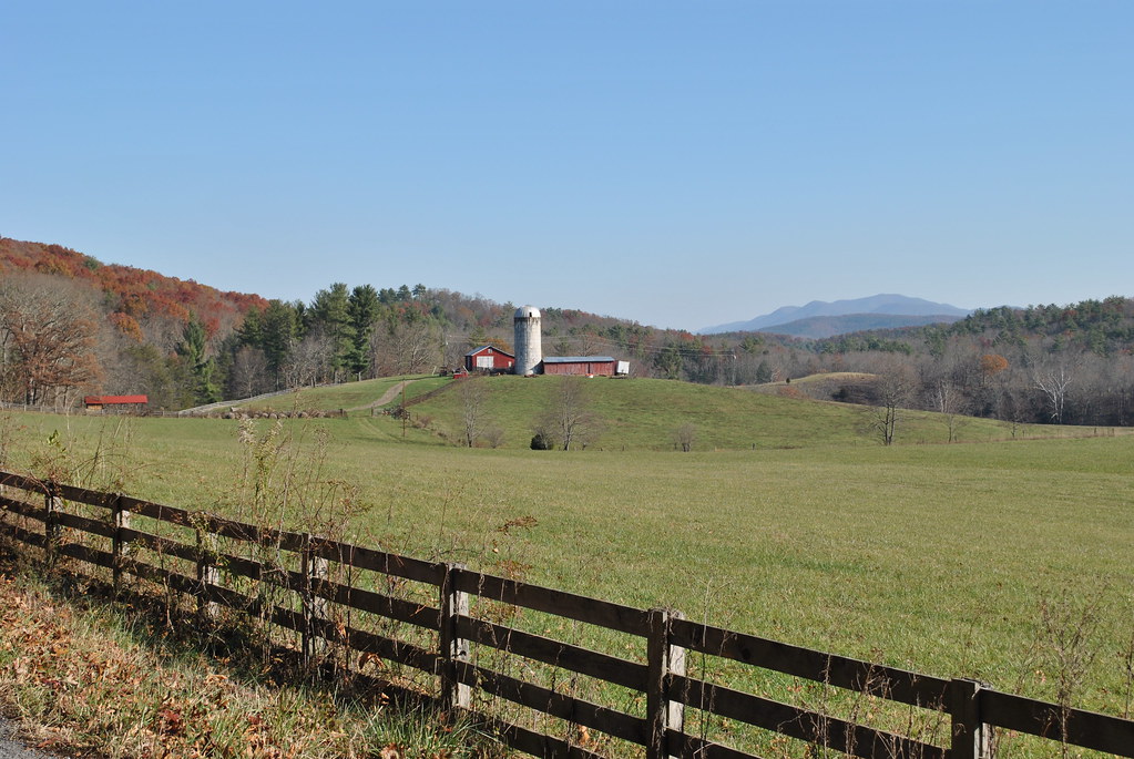
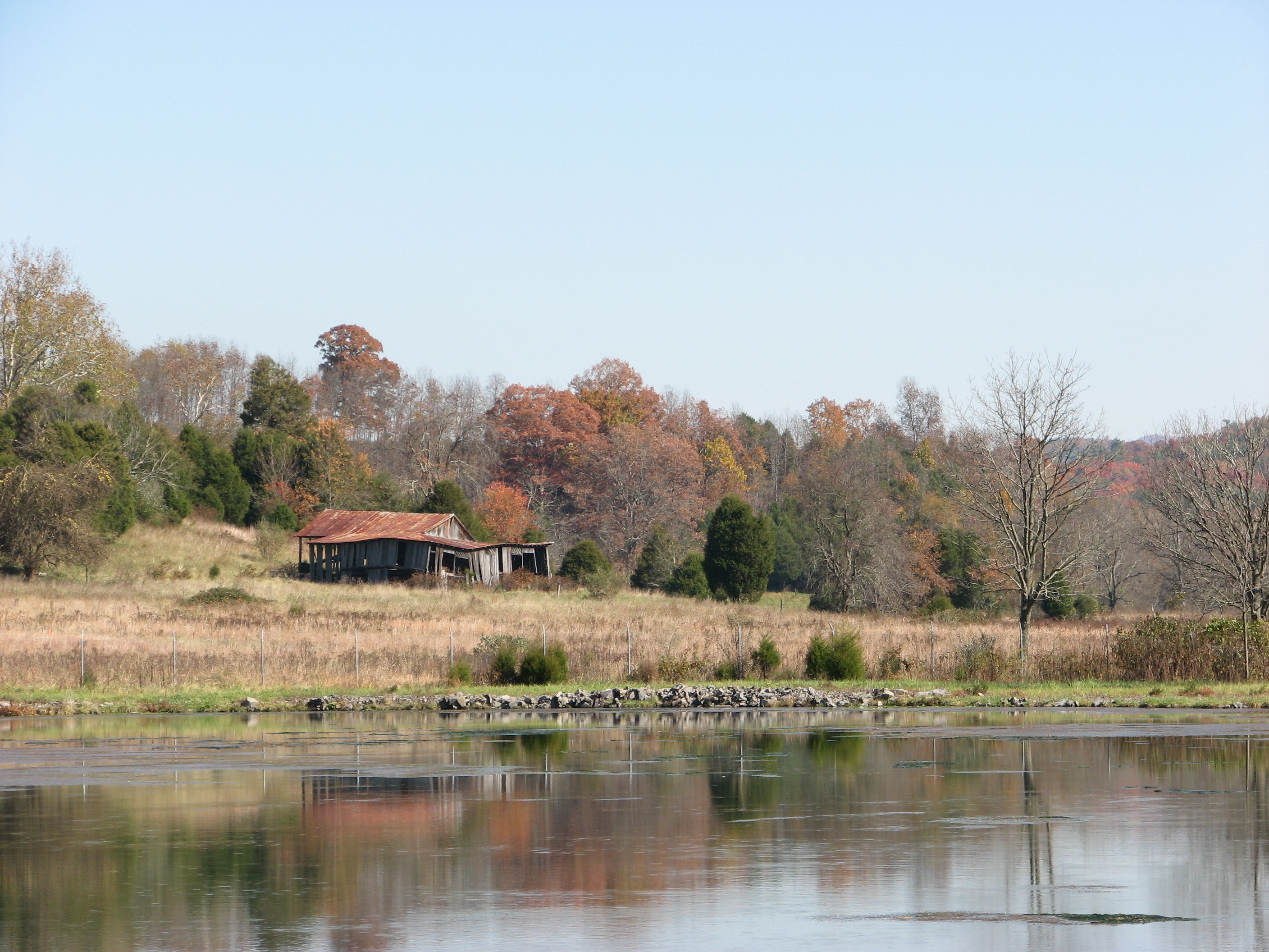
BATH COUNTY FARM

Clover Creek Presbyterian Church
Highland County
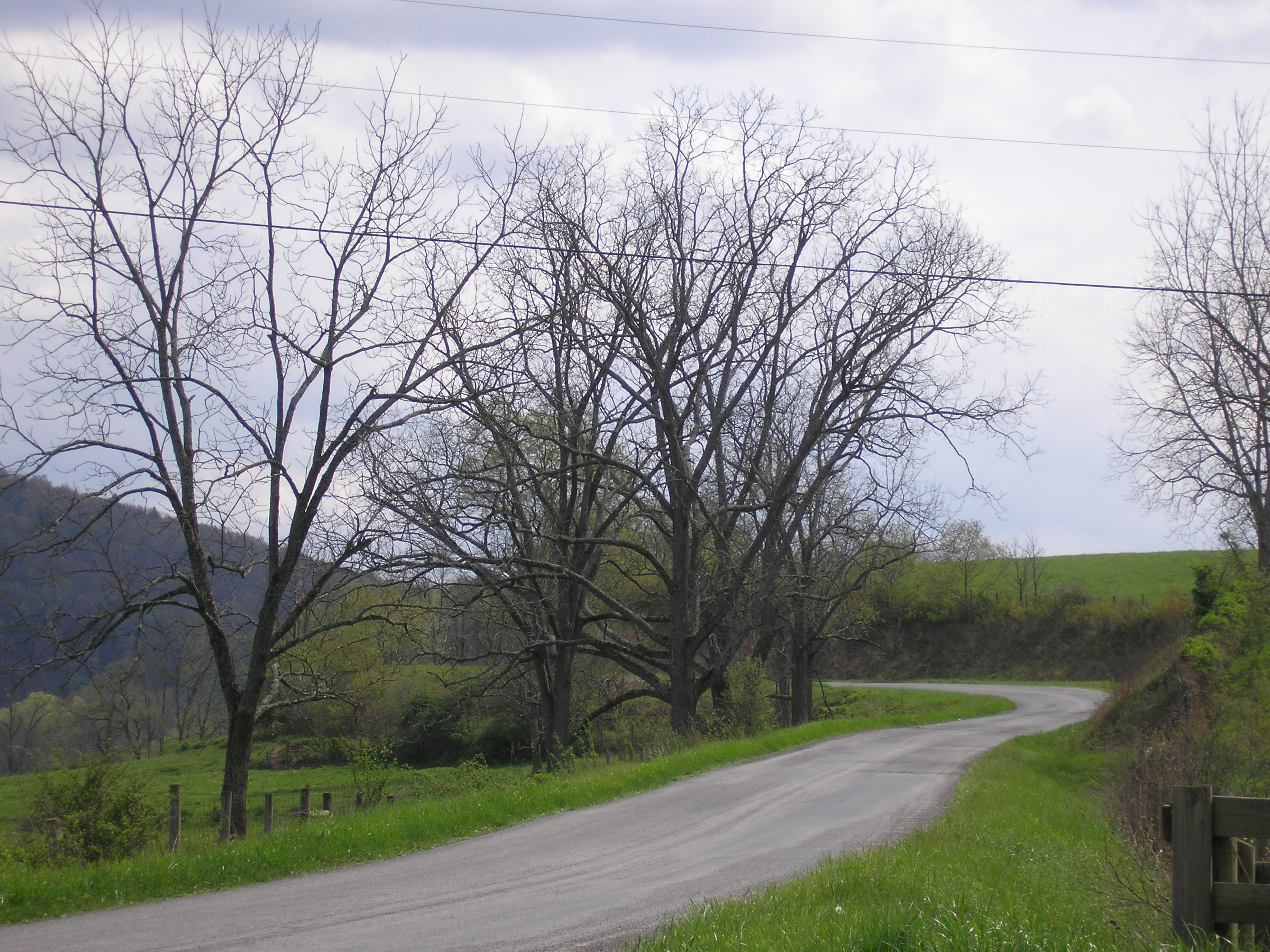
Country Road
IMG_2666.JPG
IMG_2651.JPG
IMG_4820.JPG

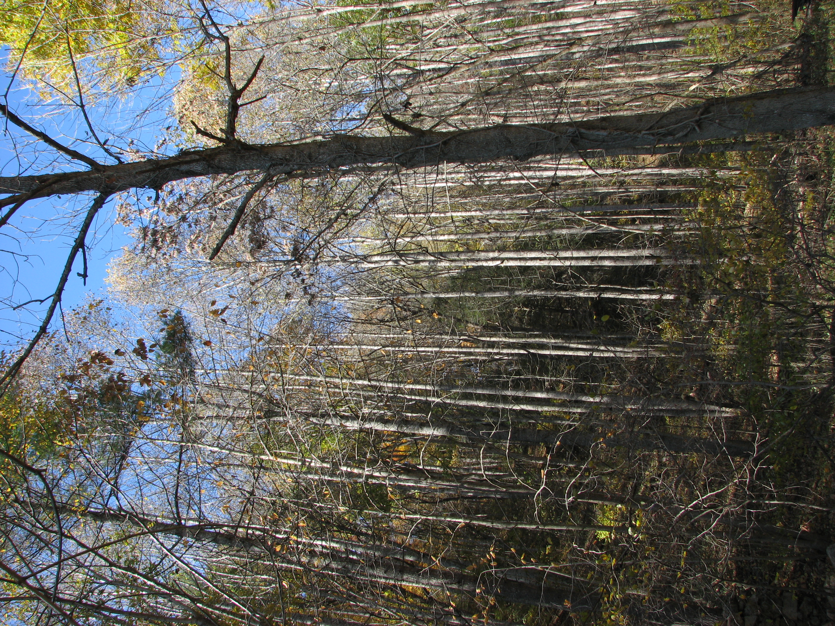
Going for a hike in the George Washington National Forest
Topographic Map of Williamsville, VA, USA
Find elevation by address:

Places in Williamsville, VA, USA:
Deerfield Rd, Millboro, VA, USA
Dry Run Rd, Williamsville, VA, USA
Douthat State Park Road
Burnsville
Dan Ingalls Overlook
Williamsville
Places near Williamsville, VA, USA:
16338 Indian Draft Rd
603 Old Plantation Way
Fort Lewis Lodge & Farm
Coursey Springs Fish Cultural Station
124 Whispering Pine Rd
Burnsville
Dry Run Rd, Williamsville, VA, USA
16337 Indian Draft Rd
Williamsville
Bath County
Deerfield Rd, Millboro, VA, USA
2700 Westminster Rd
265 Bear Rock Ridge Rd
3068 River Rd
Deerfield Road
9595 Bullpasture River Rd
5311 Pig Run Rd
8422 Big Valley Rd
538 Peaceful Valley Dr
538 Peaceful Valley Dr
Recent Searches:
- Elevation of Corso Fratelli Cairoli, 35, Macerata MC, Italy
- Elevation of Tallevast Rd, Sarasota, FL, USA
- Elevation of 4th St E, Sonoma, CA, USA
- Elevation of Black Hollow Rd, Pennsdale, PA, USA
- Elevation of Oakland Ave, Williamsport, PA, USA
- Elevation of Pedrógão Grande, Portugal
- Elevation of Klee Dr, Martinsburg, WV, USA
- Elevation of Via Roma, Pieranica CR, Italy
- Elevation of Tavkvetili Mountain, Georgia
- Elevation of Hartfords Bluff Cir, Mt Pleasant, SC, USA