Elevation of Peaceful Valley Dr, Williamsville, VA, USA
Location: United States > Virginia > Highland County > Stonewall >
Longitude: -79.527143
Latitude: 38.2216009
Elevation: 537m / 1762feet
Barometric Pressure: 95KPa
Elevation Map:
Satellite Map:
Related Photos:
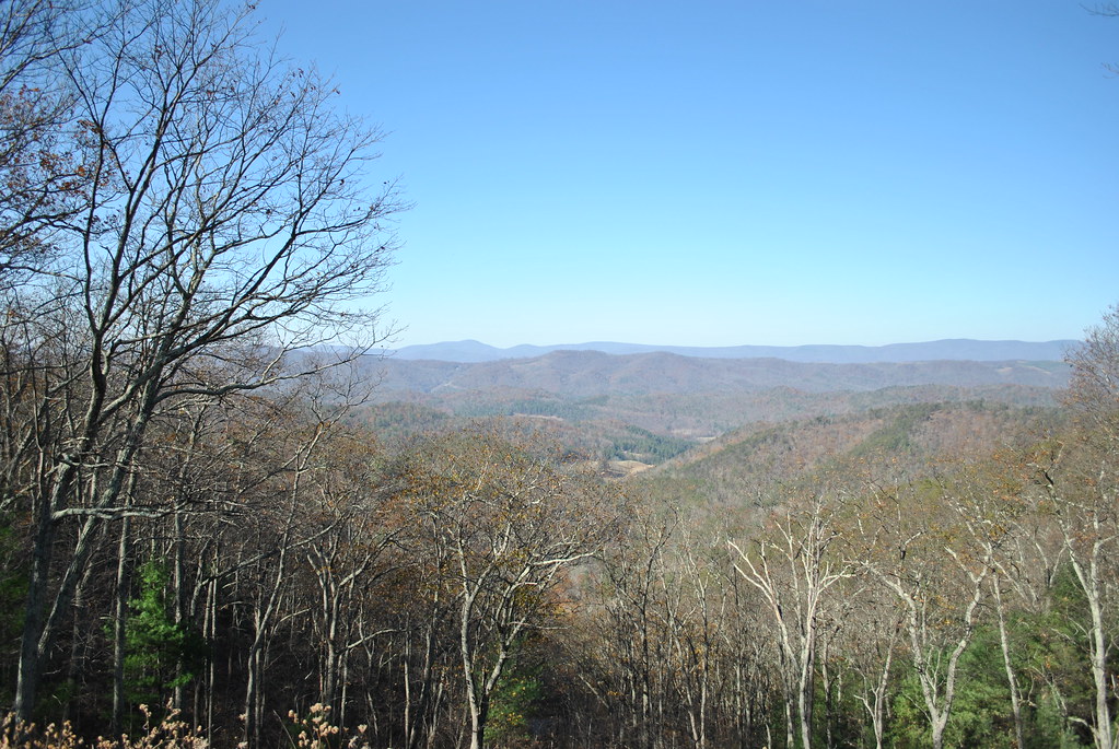
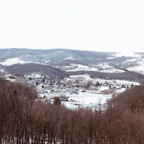
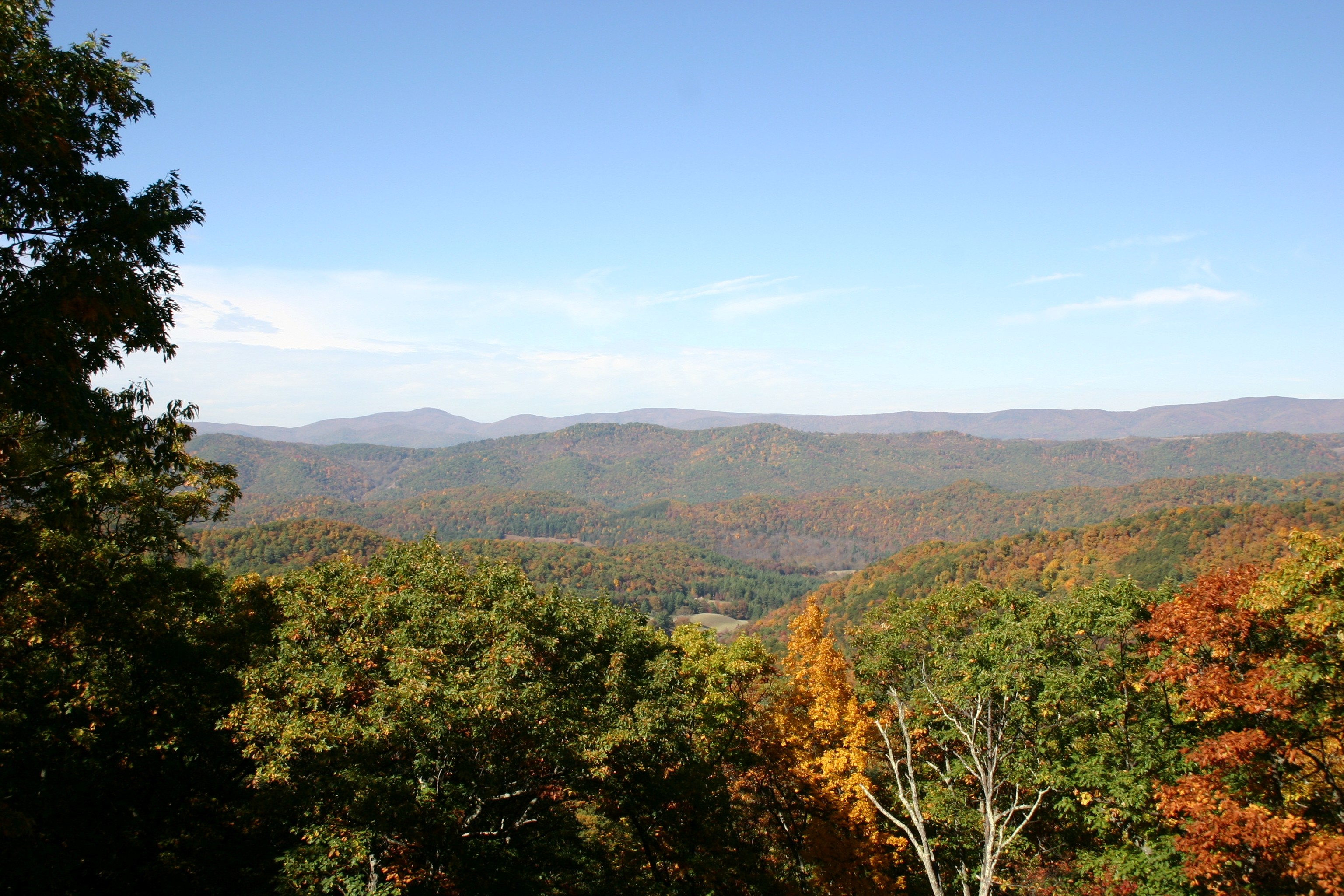
Highland Maple Festival - Wintry Vista

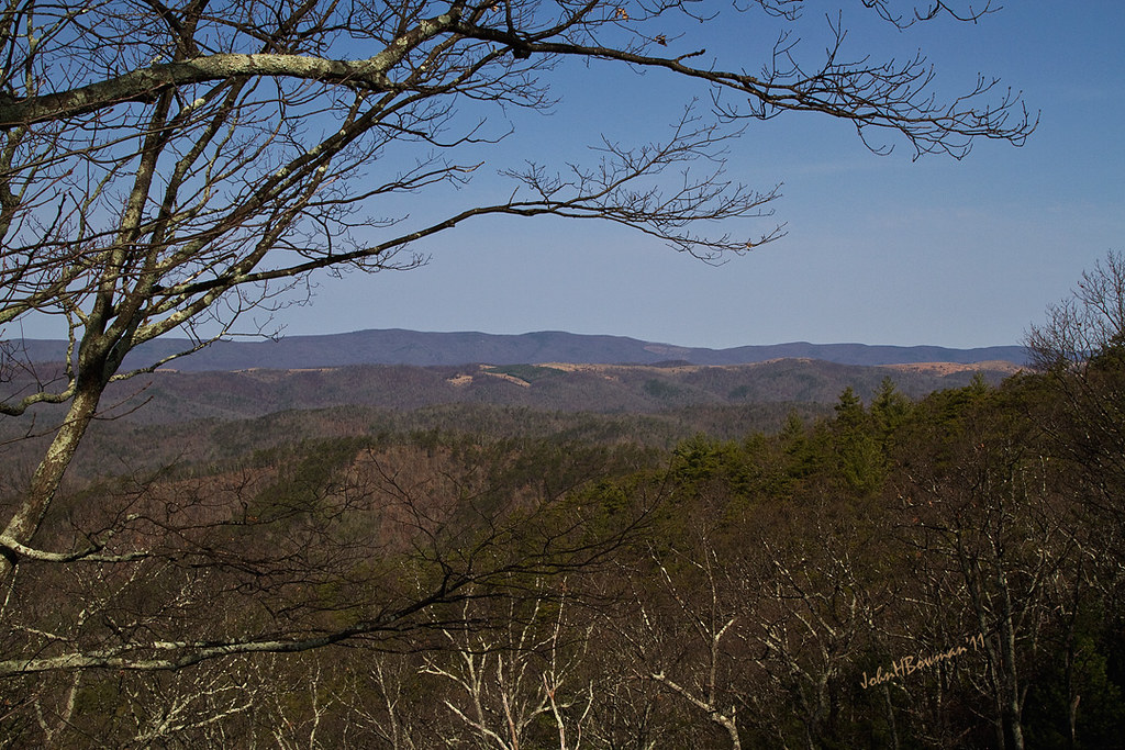
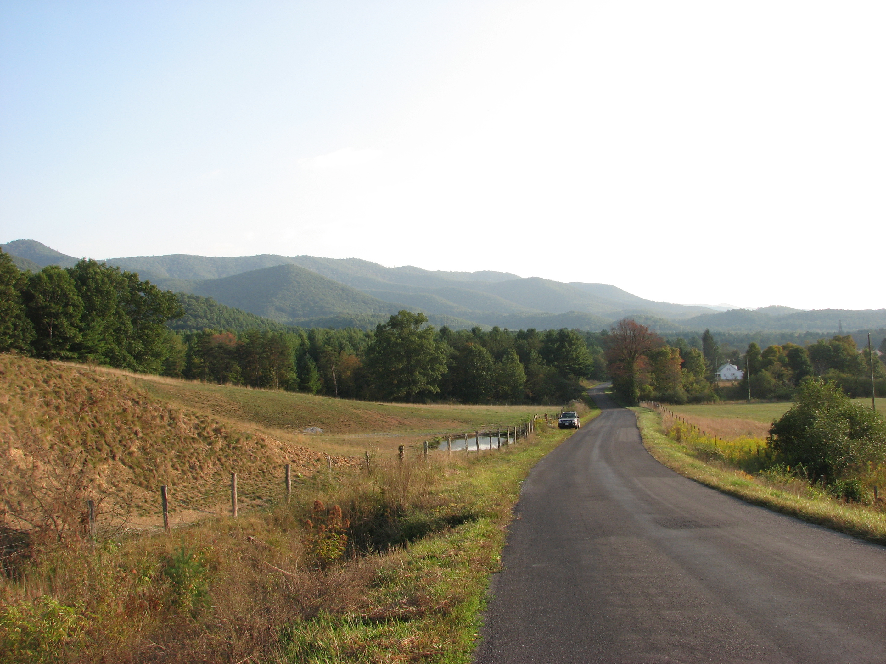
The view from the top
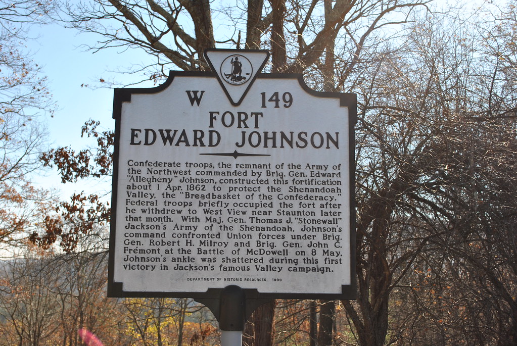
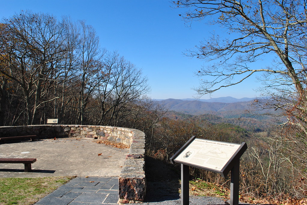
FORT EDWARD JOHNSON

FORT EDWARD JOHNSON

CONFEDERATE BREAST WORKS
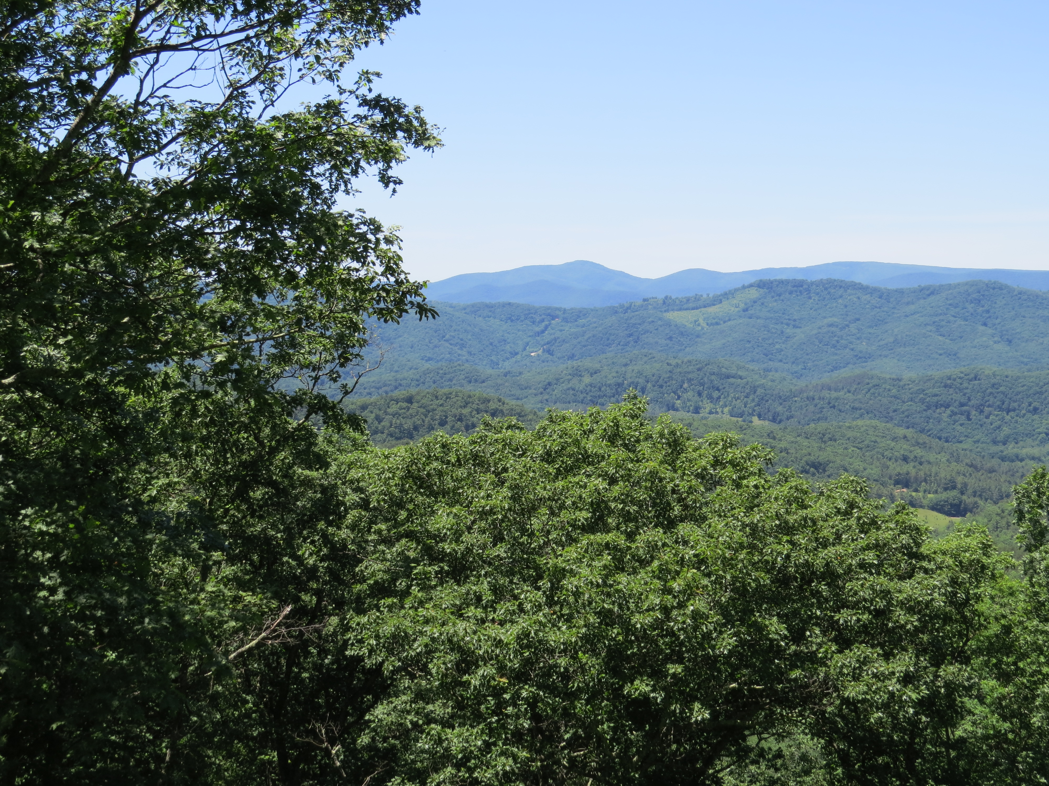
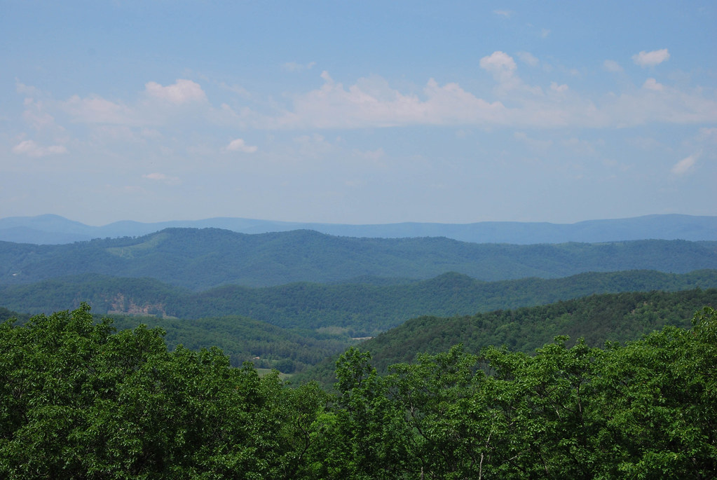
Virginia Scenic View

View from Fort Edward Johnson
View from Fort Edward Johnson

Chris hikes the Breastworks
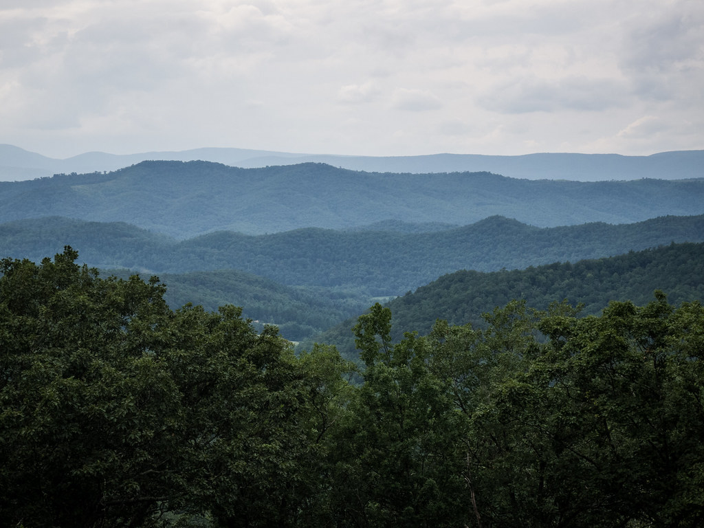
SHENANDOAH MOUNTAIN
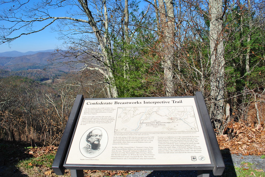
CIVIL WAR MARKER
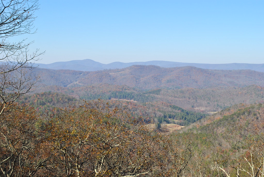
SHENANDOAH MOUNTAIN
SHENANDOAH MOUNTAIN
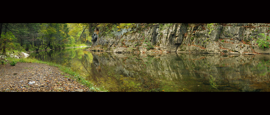
Bullpasture River Panorama
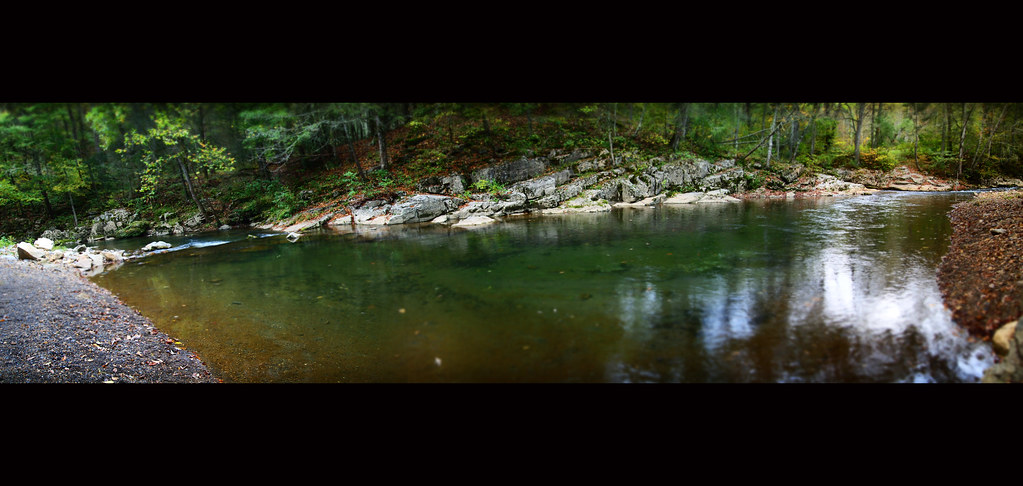
Bullpasture River Diorama Panorama
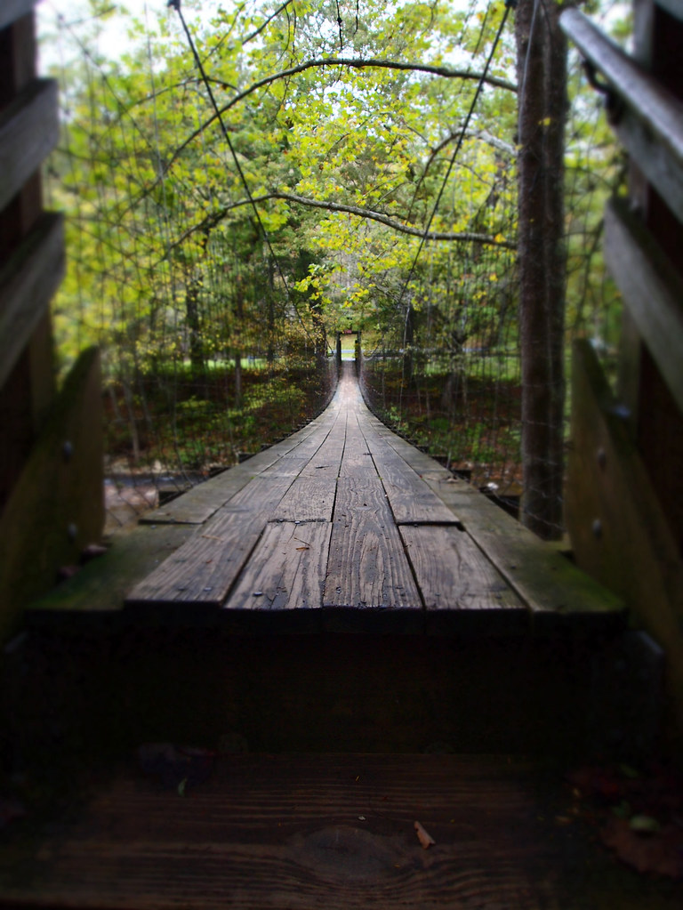
The Bullpasture River Gorge Footbridge

Highland County Museum
Bullpasture River

Sugar Tree Country Store
Bullpasture River
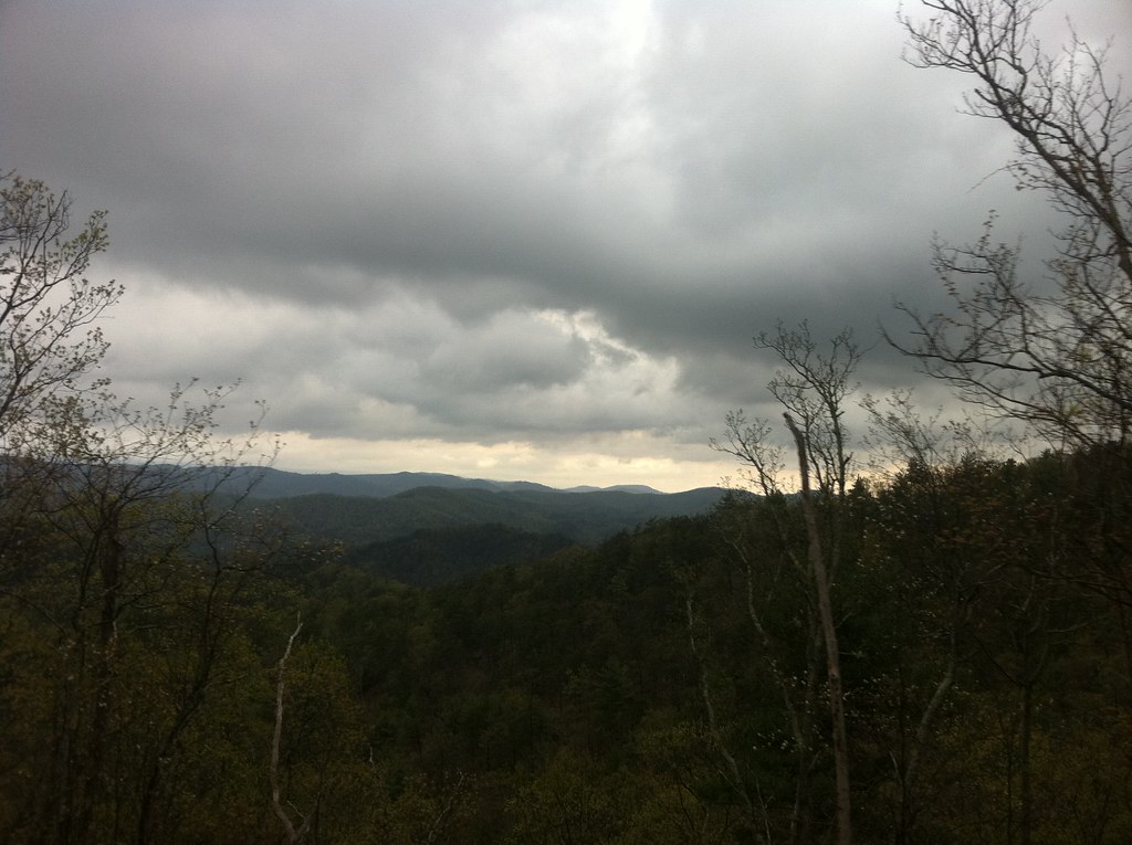
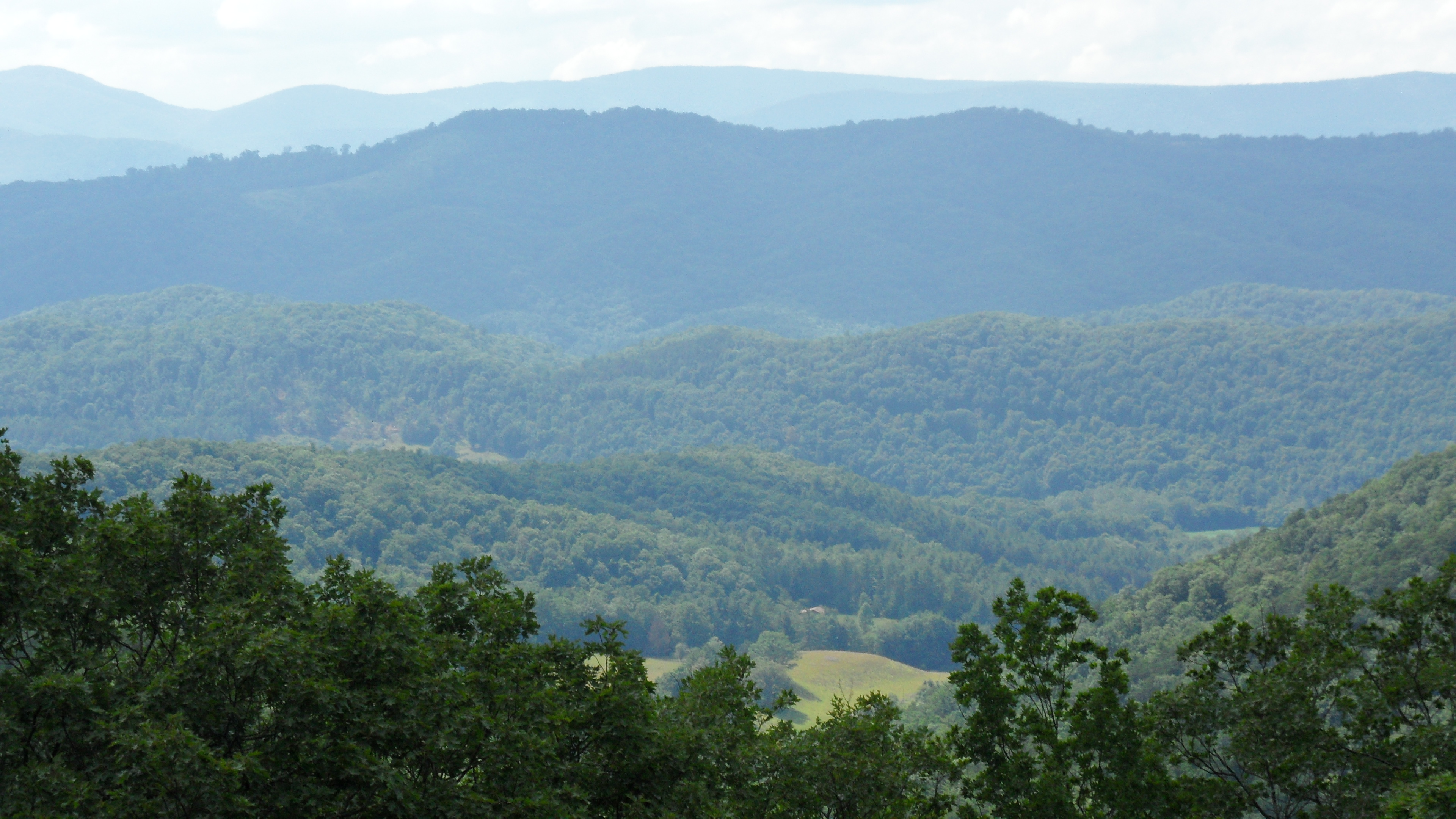
Mountains and Clouds
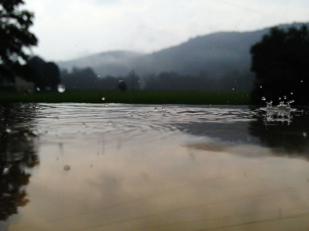
Pocket Darkroom

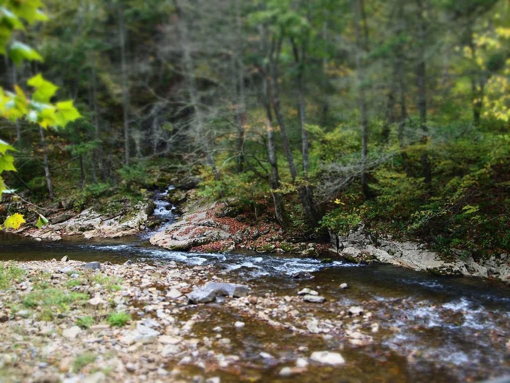
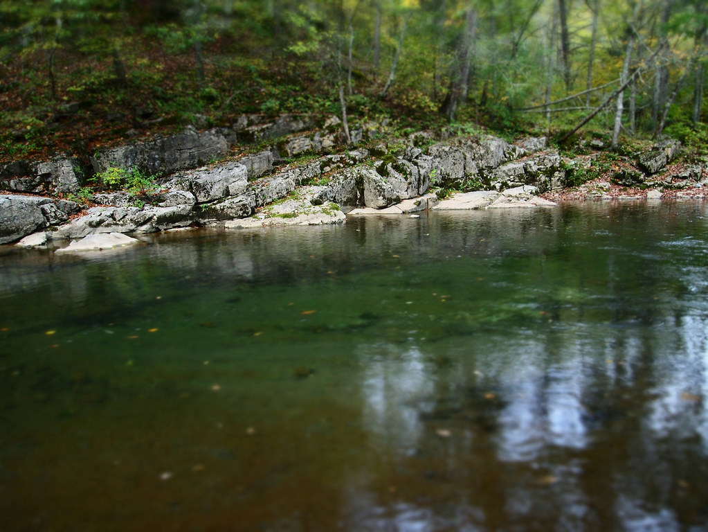
Swimming/Fishing hole
Good news, the mountains are still here. #appalachia #lookingatappalachia #snow #landscape #monterey #virginia
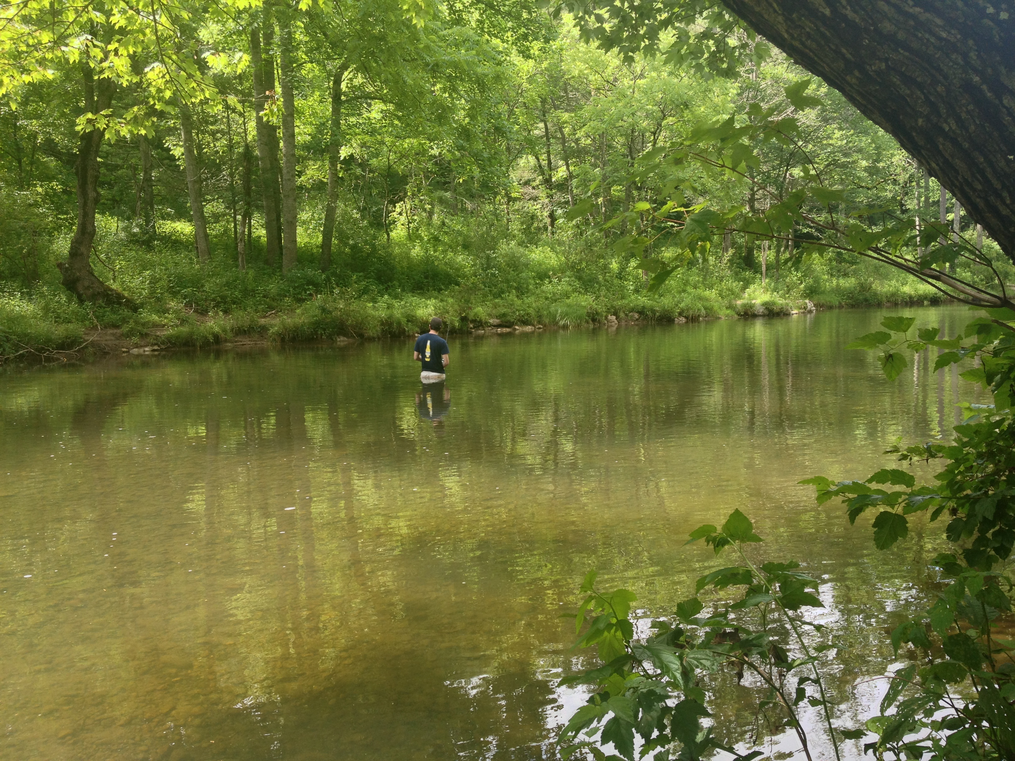
Severin fishing

Winter Stream II
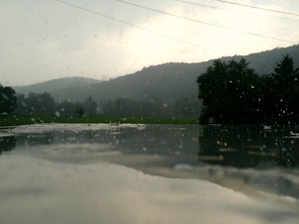
Pocket Darkroom
Hwy 250 VA
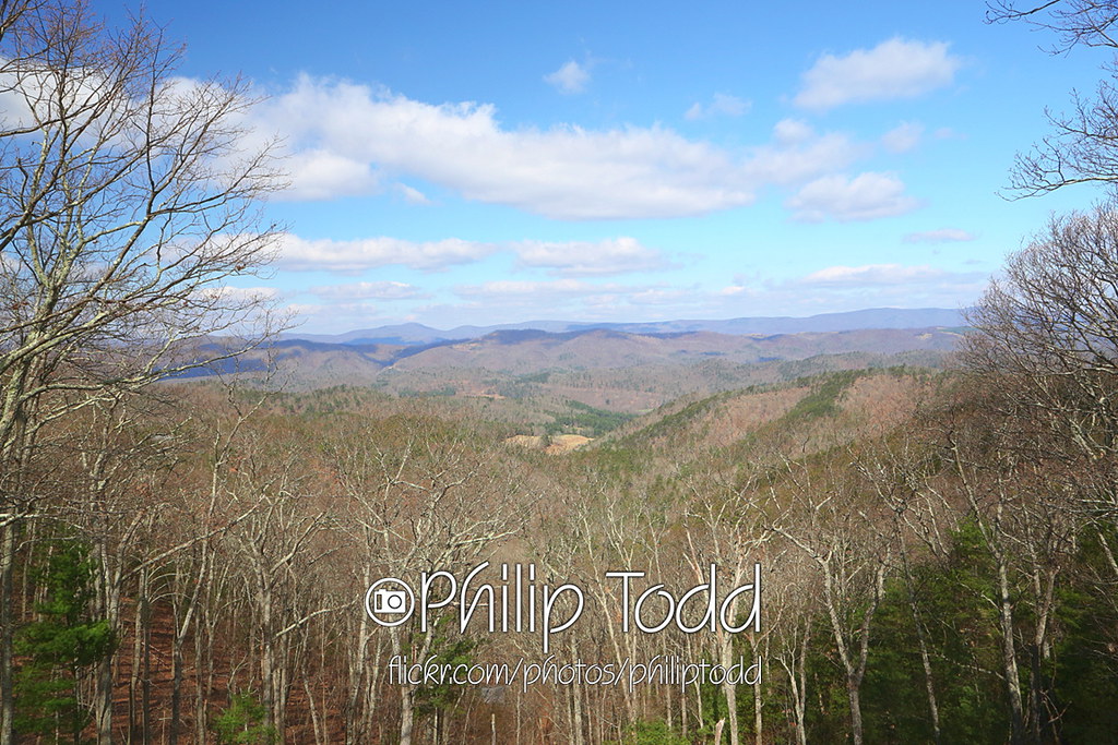
2013-4-13 overlook QQ1A1480x1152

Remains of Fort Edward Johnson
Sounding Knob from Shenandoah Mountain Looking into Highland County, Va.

Resting at the Breastworks
IMG_1201.JPG
Mountain Meadow
Fort Edward Johnson
September 18, 2012-IMG_8020
September 18, 2012-IMG_8090
Topographic Map of Peaceful Valley Dr, Williamsville, VA, USA
Find elevation by address:

Places near Peaceful Valley Dr, Williamsville, VA, USA:
538 Peaceful Valley Dr
9595 Bullpasture River Rd
Williamsville
16337 Indian Draft Rd
Coursey Springs Fish Cultural Station
13954 Deerfield Rd
16338 Indian Draft Rd
Williamsville
Deerfield Road
Head Waters, VA, USA
Bertie Lane
3292 Deerfield Valley Rd
Mcdowell
Deerfield
Clayton Mill Road
Clayton Mill Road
3090 Deerfield Valley Rd
337 Carpenters Ln
Burnsville
Dry Run Rd, Williamsville, VA, USA
Recent Searches:
- Elevation of Tenjo, Cundinamarca, Colombia
- Elevation of Côte-des-Neiges, Montreal, QC H4A 3J6, Canada
- Elevation of Bobcat Dr, Helena, MT, USA
- Elevation of Zu den Ihlowbergen, Althüttendorf, Germany
- Elevation of Badaber, Peshawar, Khyber Pakhtunkhwa, Pakistan
- Elevation of SE Heron Loop, Lincoln City, OR, USA
- Elevation of Slanický ostrov, 01 Námestovo, Slovakia
- Elevation of Spaceport America, Co Rd A, Truth or Consequences, NM, USA
- Elevation of Warwick, RI, USA
- Elevation of Fern Rd, Whitmore, CA, USA