Elevation of Deerfield Valley Rd, Deerfield, VA, USA
Location: United States > Virginia > Augusta County > Pastures > Deerfield >
Longitude: -79.406125
Latitude: 38.196409
Elevation: 529m / 1736feet
Barometric Pressure: 95KPa
Elevation Map:
Satellite Map:
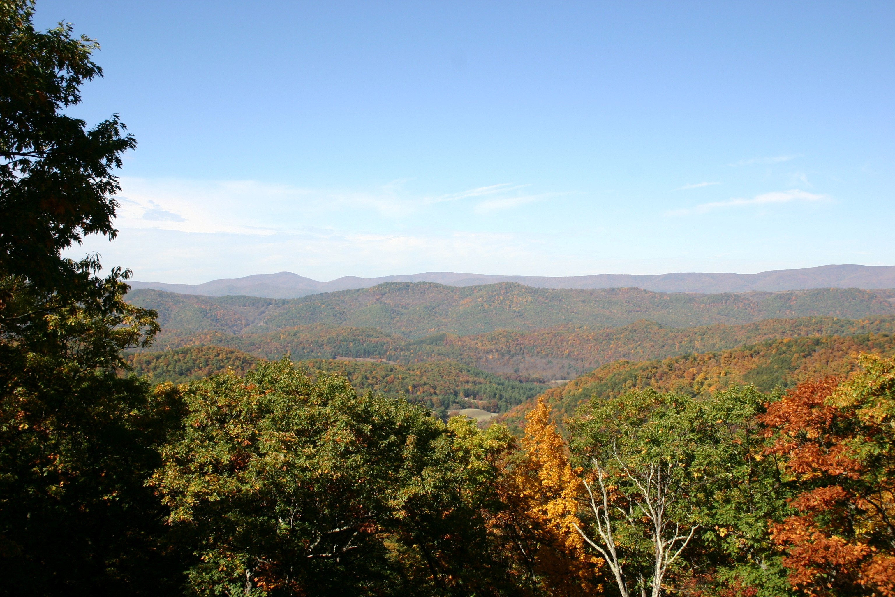
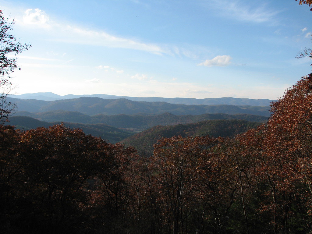
Related Photos:
IMG_2679.JPG
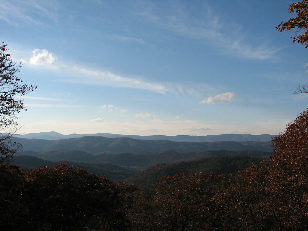
SHENANDOAH MOUNTAIN
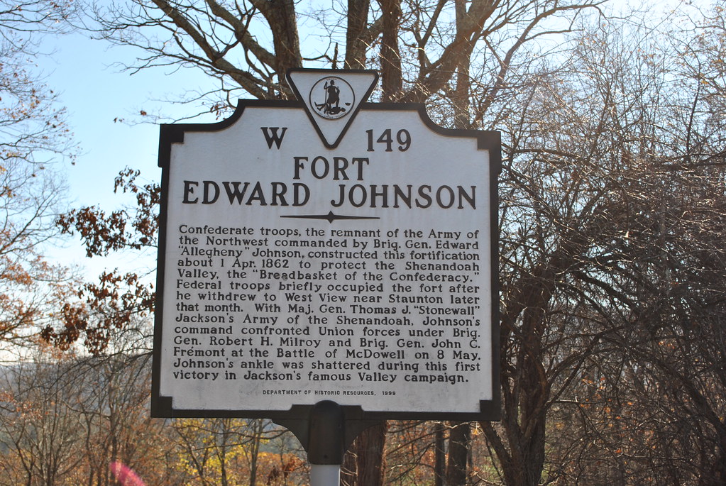
FORT EDWARD JOHNSON
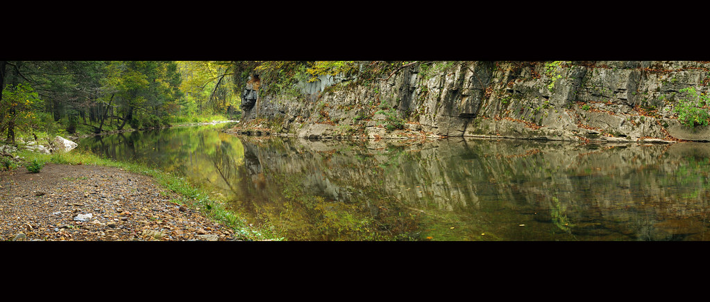
Bullpasture River Panorama
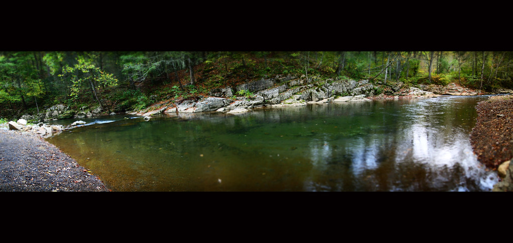
Bullpasture River Diorama Panorama
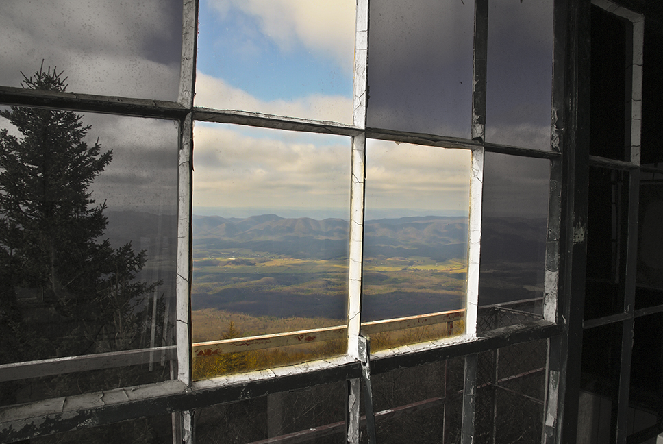
Out the Window
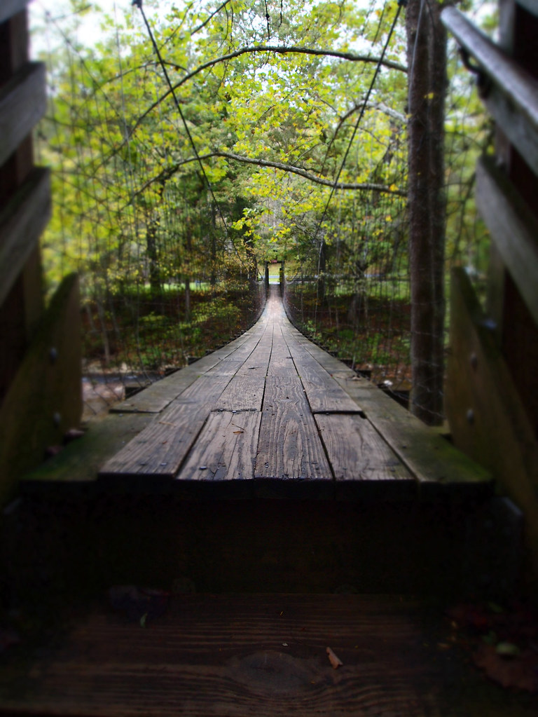
The Bullpasture River Gorge Footbridge
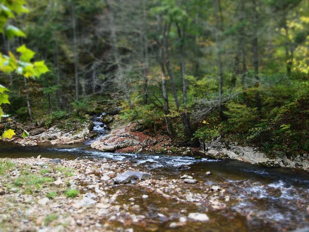
Bullpasture River
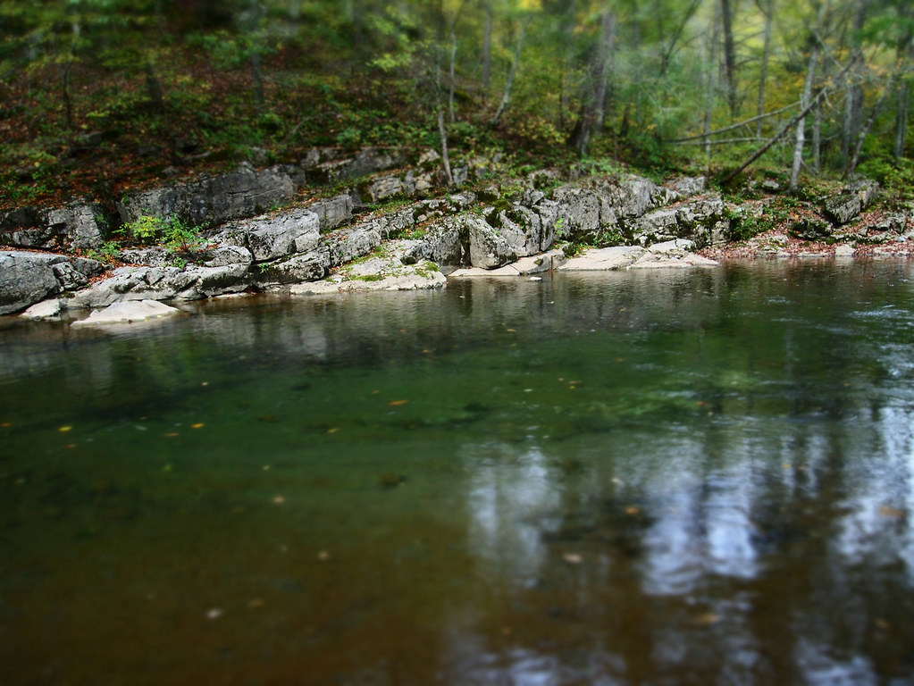
Bullpasture River

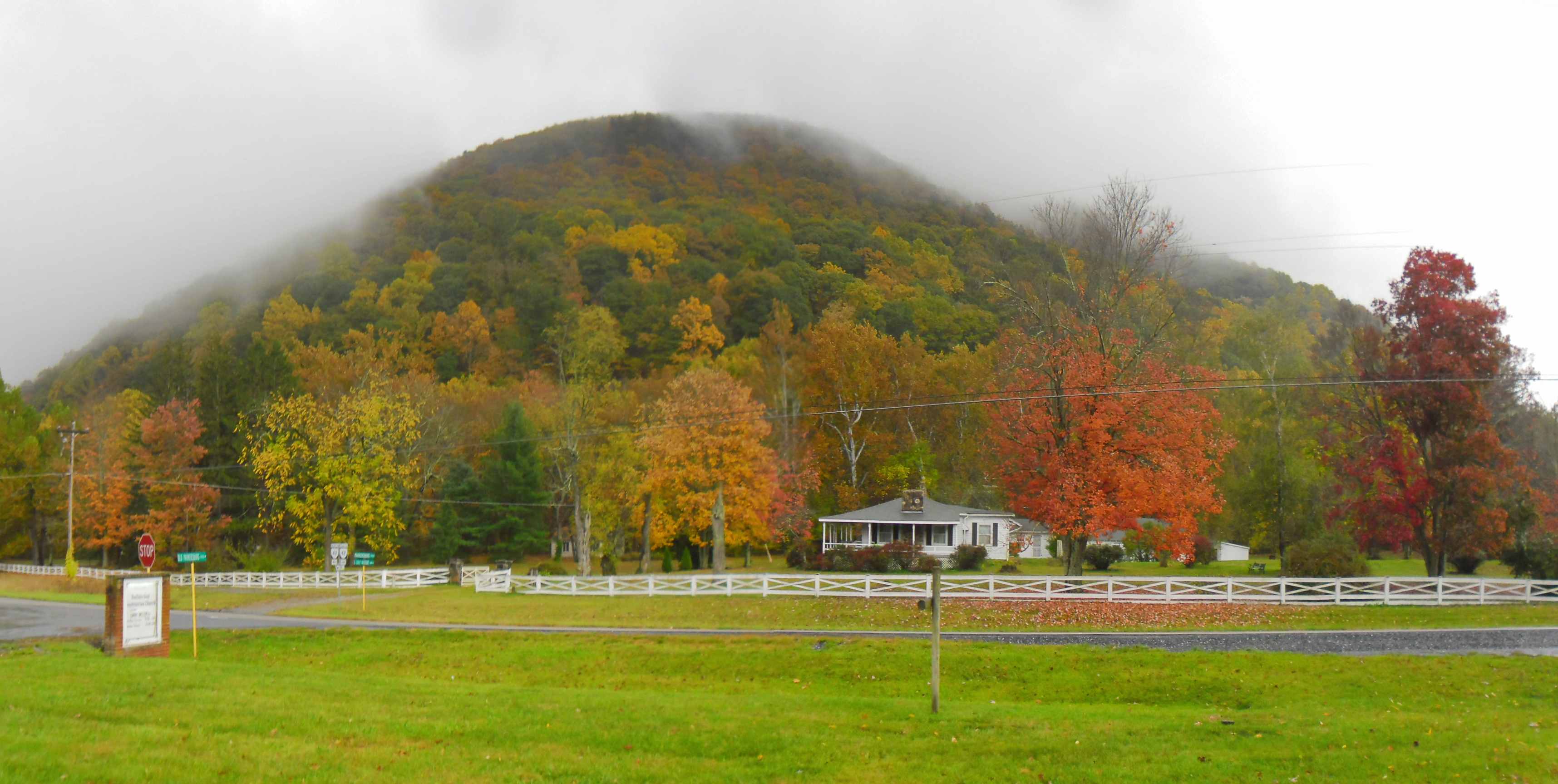
VIRGINIA: AUGUSTA COUNTY: SWOOPE: Buffalo Gap Presbyterian Church, 12 Old Parkersburg Turnpike (S.R. 688) mountain view in the rain

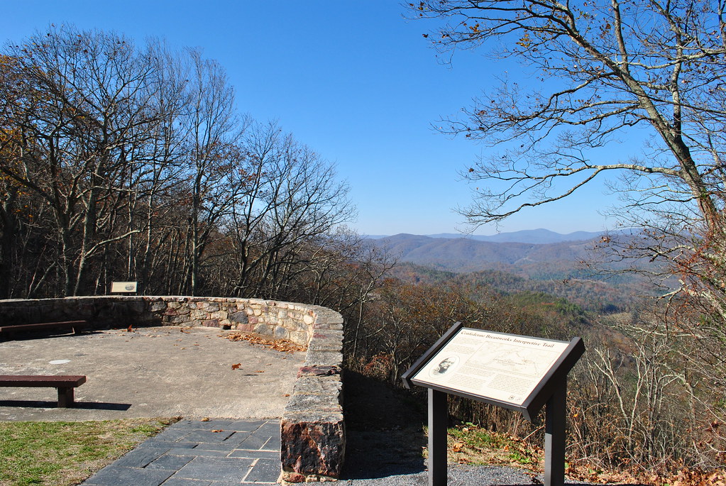
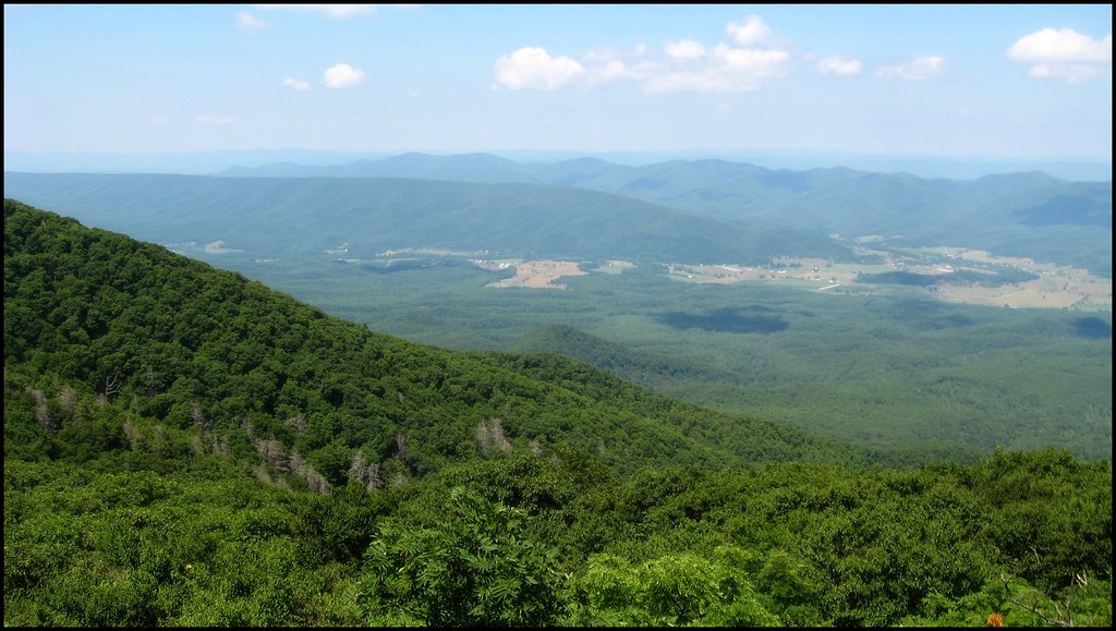
Chris hikes the Breastworks
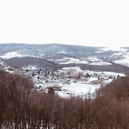
Highland Maple Festival - Wintry Vista

CONFEDERATE BREAST WORKS
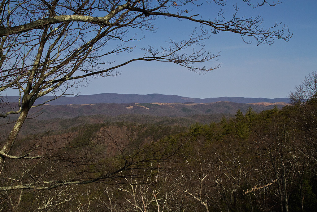
SHENANDOAH MOUNTAIN
SHENANDOAH MOUNTAIN

View from Fort Edward Johnson
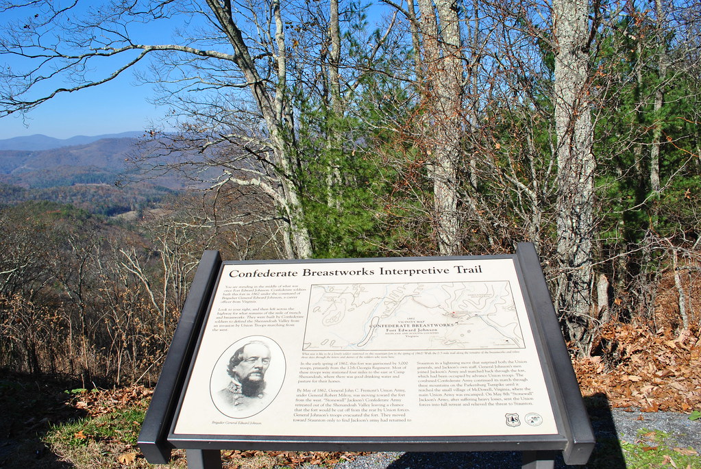
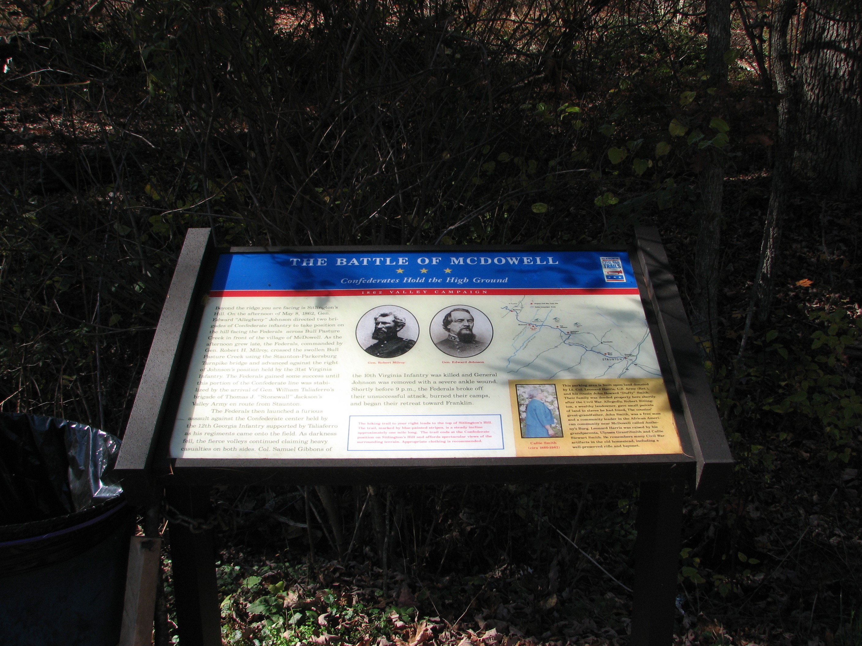
CIVIL WAR MARKER

C&O in the Mountains
Fog on the Mountain
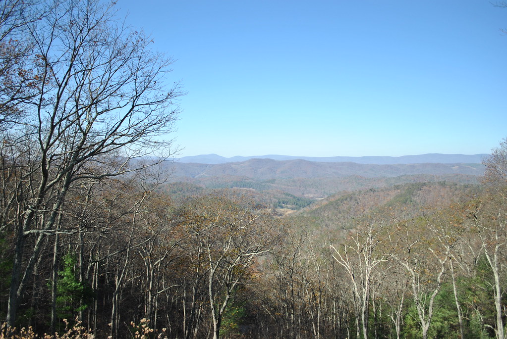
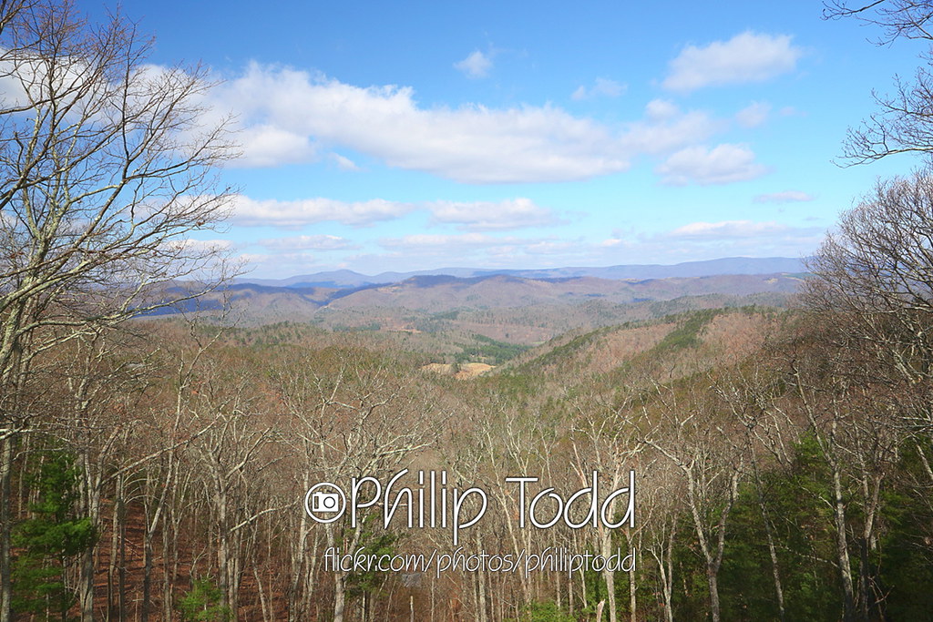
A View of Deerfield From Elliott Knob
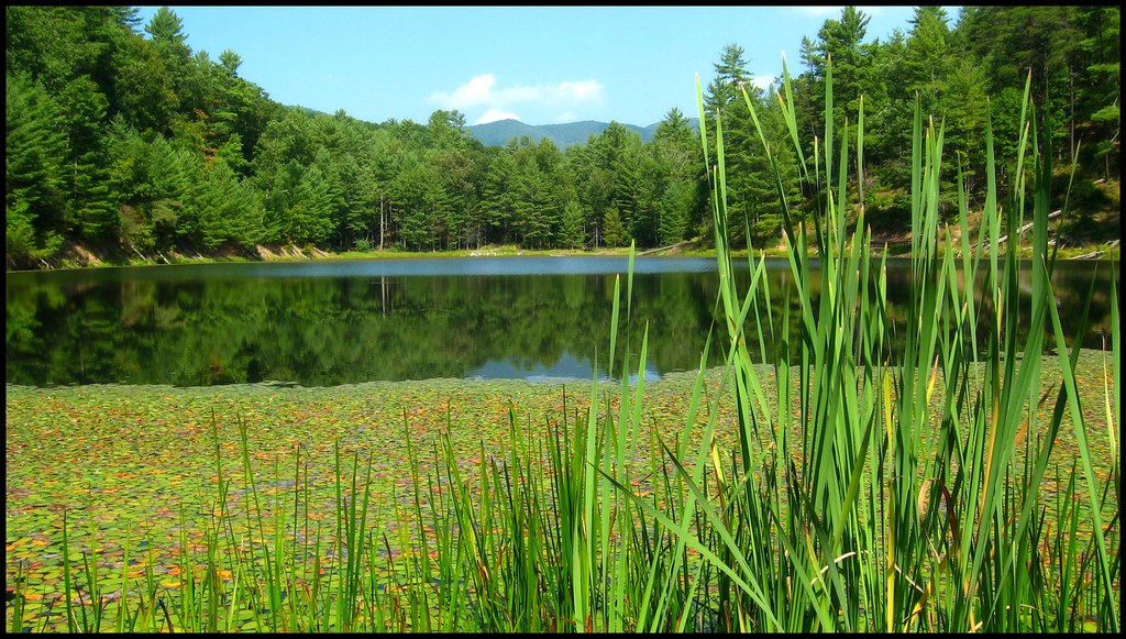
Braley Pond
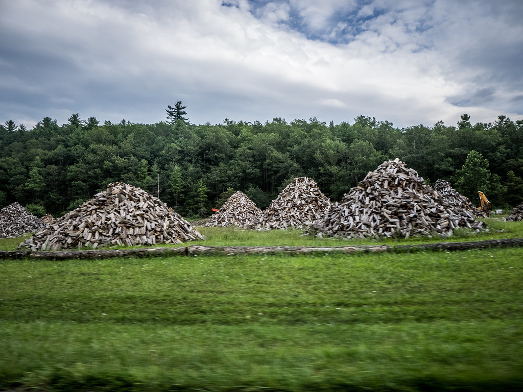
Wood Piles in Virginia

Empties for West Virginia
Pocket Darkroom
Good news, the mountains are still here. #appalachia #lookingatappalachia #snow #landscape #monterey #virginia

IMG_2649.JPG
Pocket Darkroom
Sunset Glow in the Mountains of Virginia
Civil War Seminars and Tours

Remains of Fort Edward Johnson
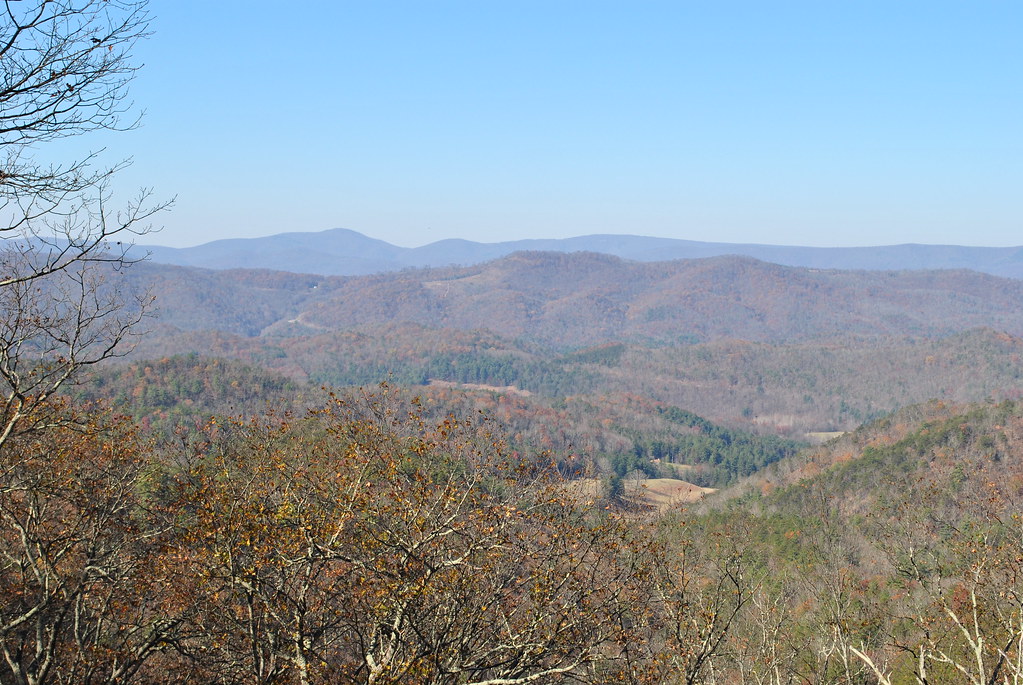
Highland County
2013-4-13 overlook QQ1A1480x1152
Sounding Knob from Shenandoah Mountain Looking into Highland County, Va.
Highland County
Topographic Map of Deerfield Valley Rd, Deerfield, VA, USA
Find elevation by address:

Places near Deerfield Valley Rd, Deerfield, VA, USA:
Deerfield
3292 Deerfield Valley Rd
Hug Hart Fort Ln, Deerfield, VA, USA
Pastures
2991 Old Parkersburg Turnpike
2561 Old Parkersburg Turnpike
Elliott Knob
Head Waters, VA, USA
Deerfield Valley Road
West Augusta
VA-42, Swoope, VA, USA
810 Braley Pond Rd
Augusta County
Buffalo Gap
2487 Hanky Mountain Hwy
Kisamore Lumber Co
Swoope
16 Lowery Ln
Hanky Mountain Hwy, Churchville, VA, USA
1570 Parkersburg Turnpike
Recent Searches:
- Elevation of Elwyn Dr, Roanoke Rapids, NC, USA
- Elevation of Congressional Dr, Stevensville, MD, USA
- Elevation of Bellview Rd, McLean, VA, USA
- Elevation of Stage Island Rd, Chatham, MA, USA
- Elevation of Shibuya Scramble Crossing, 21 Udagawacho, Shibuya City, Tokyo -, Japan
- Elevation of Jadagoniai, Kaunas District Municipality, Lithuania
- Elevation of Pagonija rock, Kranto 7-oji g. 8"N, Kaunas, Lithuania
- Elevation of Co Rd 87, Jamestown, CO, USA
- Elevation of Tenjo, Cundinamarca, Colombia
- Elevation of Côte-des-Neiges, Montreal, QC H4A 3J6, Canada