Elevation of Old Parkersburg Turnpike, West Augusta, VA, USA
Location: United States > Virginia > Augusta County > Pastures > West Augusta >
Longitude: -79.333438
Latitude: 38.222102
Elevation: -10000m / -32808feet
Barometric Pressure: 295KPa
Elevation Map:
Satellite Map:
Related Photos:

Moo With A View

Out the Window

A View of Deerfield From Elliott Knob

Chris hikes the Breastworks

Highland Maple Festival - Wintry Vista

Virginia: West of Staunton

CONFEDERATE BREAST WORKS

SHENANDOAH MOUNTAIN

View from Fort Edward Johnson

CIVIL WAR MARKER

SHENANDOAH MOUNTAIN

SHENANDOAH MOUNTAIN

FORT EDWARD JOHNSON

Take Me Home, Country Roads

IMG_1201.JPG

C&O in the Mountains

Dawn In The Valley

IMG_5741_2 active
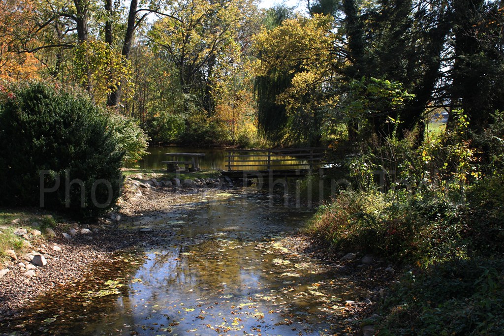
IMG_5730_2 stream

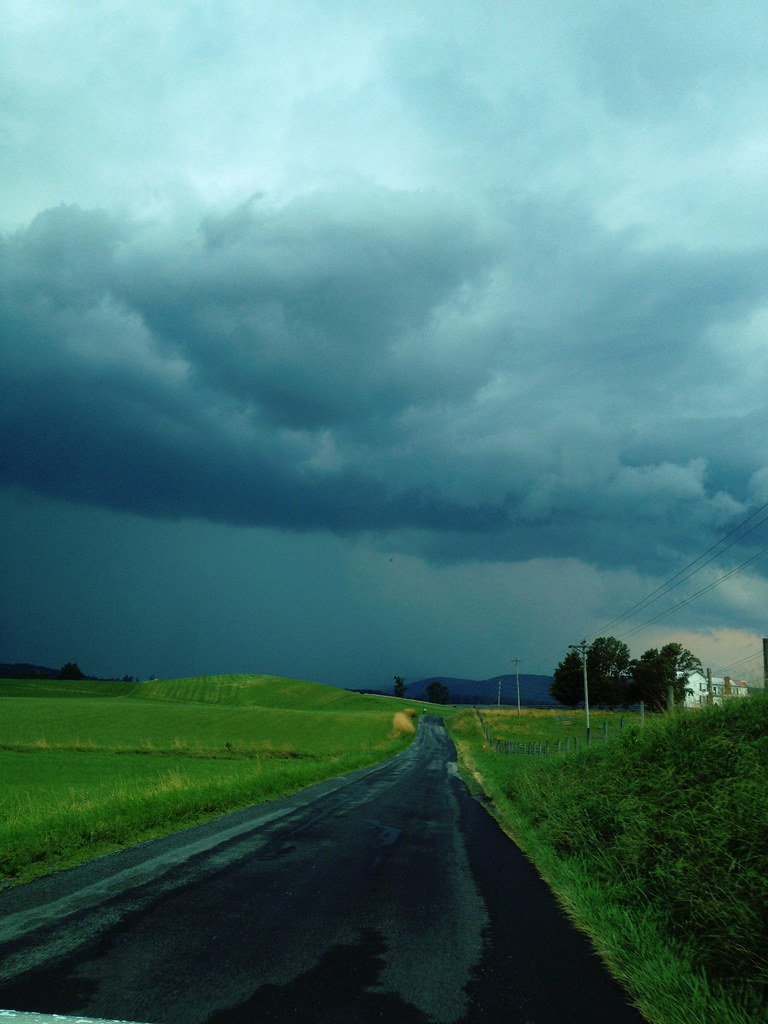
Mountains and Clouds
Pocket Darkroom

Braley Pond

Fog on the Mountain

Wood Piles in Virginia

Pocket Darkroom

2010-10-10 stream fall colors 5772

2010-10-10 stream fall colors 5749

Highland County

IMG_5786_2 active

Highland County

Looking out at GWNF
Topographic Map of Old Parkersburg Turnpike, West Augusta, VA, USA
Find elevation by address:

Places near Old Parkersburg Turnpike, West Augusta, VA, USA:
2991 Old Parkersburg Turnpike
Pastures
Deerfield Valley Road
West Augusta
Hug Hart Fort Ln, Deerfield, VA, USA
Elliott Knob
3090 Deerfield Valley Rd
Deerfield
3292 Deerfield Valley Rd
810 Braley Pond Rd
VA-42, Swoope, VA, USA
Augusta County
Buffalo Gap
2487 Hanky Mountain Hwy
Kisamore Lumber Co
Head Waters, VA, USA
Swoope
16 Lowery Ln
Hanky Mountain Hwy, Churchville, VA, USA
1570 Parkersburg Turnpike
Recent Searches:
- Elevation of Congressional Dr, Stevensville, MD, USA
- Elevation of Bellview Rd, McLean, VA, USA
- Elevation of Stage Island Rd, Chatham, MA, USA
- Elevation of Shibuya Scramble Crossing, 21 Udagawacho, Shibuya City, Tokyo -, Japan
- Elevation of Jadagoniai, Kaunas District Municipality, Lithuania
- Elevation of Pagonija rock, Kranto 7-oji g. 8"N, Kaunas, Lithuania
- Elevation of Co Rd 87, Jamestown, CO, USA
- Elevation of Tenjo, Cundinamarca, Colombia
- Elevation of Côte-des-Neiges, Montreal, QC H4A 3J6, Canada
- Elevation of Bobcat Dr, Helena, MT, USA