Elevation of Peaceful Valley Dr, Williamsville, VA, USA
Location: United States > Virginia > Highland County > Stonewall >
Longitude: -79.527143
Latitude: 38.2216009
Elevation: 537m / 1762feet
Barometric Pressure: 95KPa
Elevation Map:
Satellite Map:
Related Photos:
IMG_2679.JPG

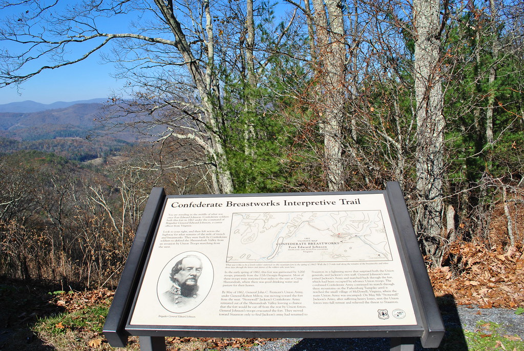
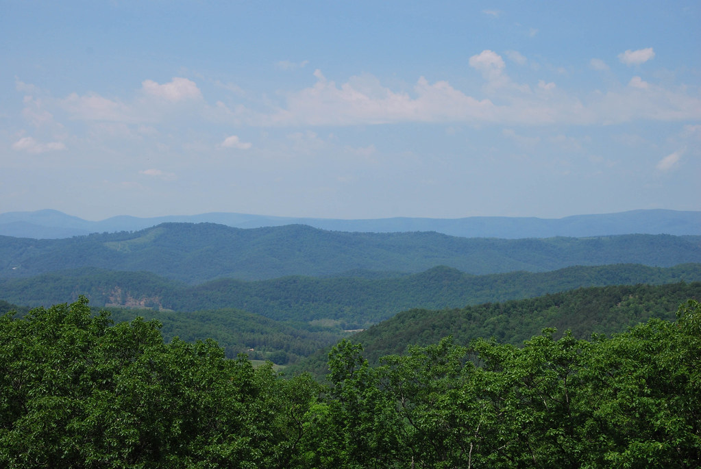
View from Fort Edward Johnson
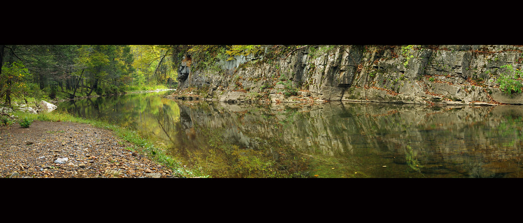
Bullpasture River Panorama
Bullpasture River Diorama Panorama

Highland County Museum
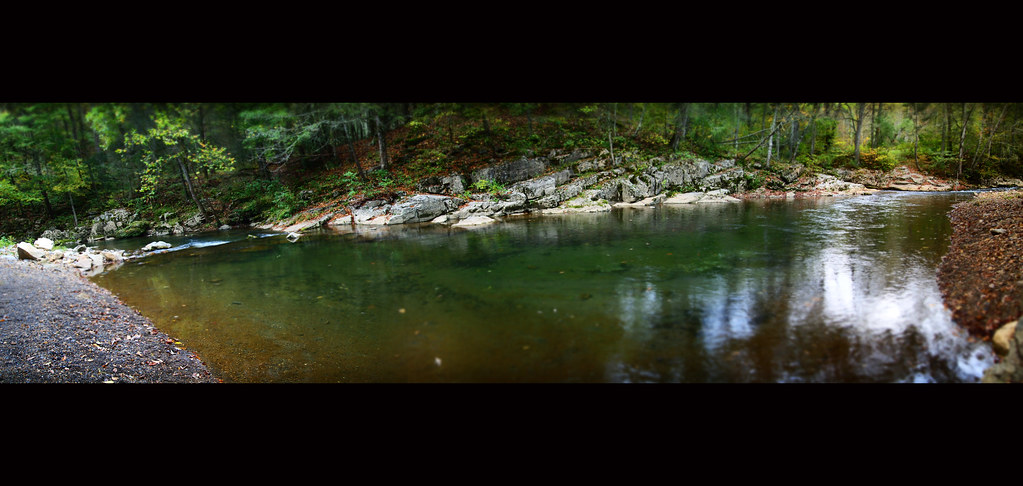
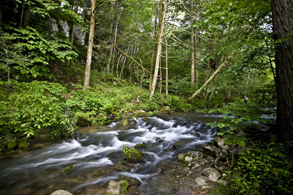
Bullpasture River

Sugar Tree Country Store
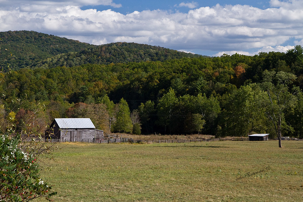
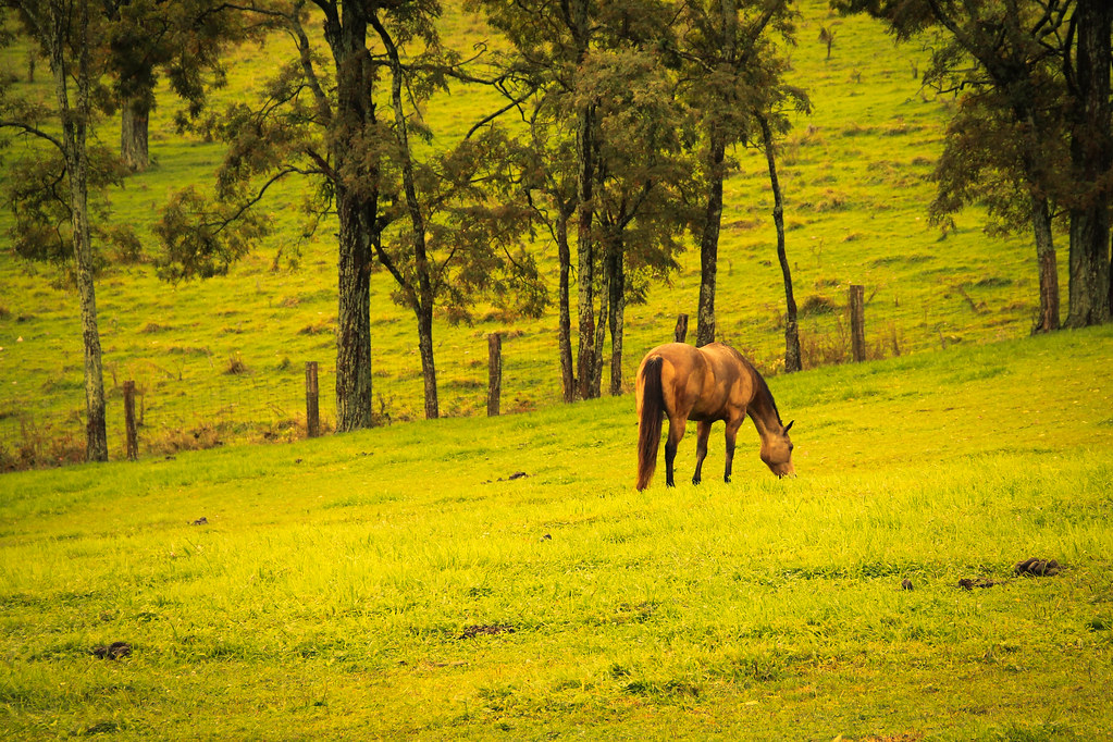
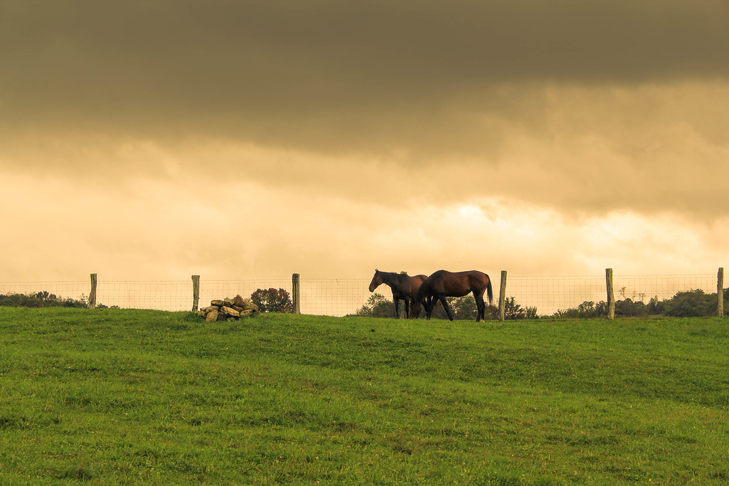
Highland Farm
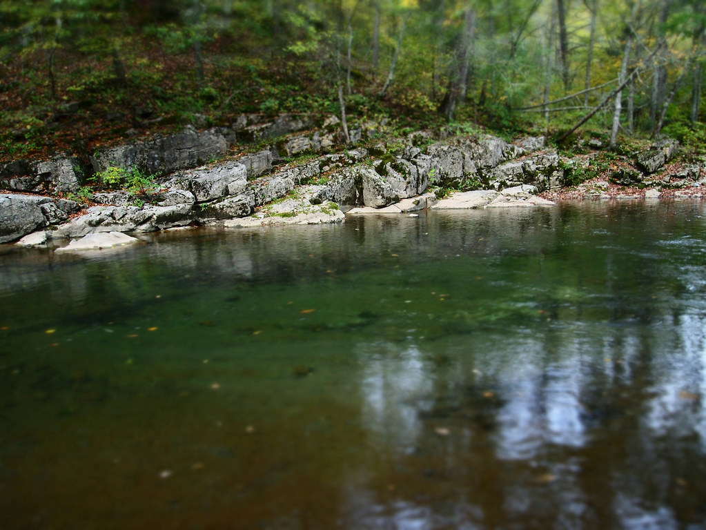
Bullpasture River

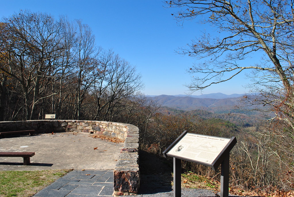
Chris hikes the Breastworks
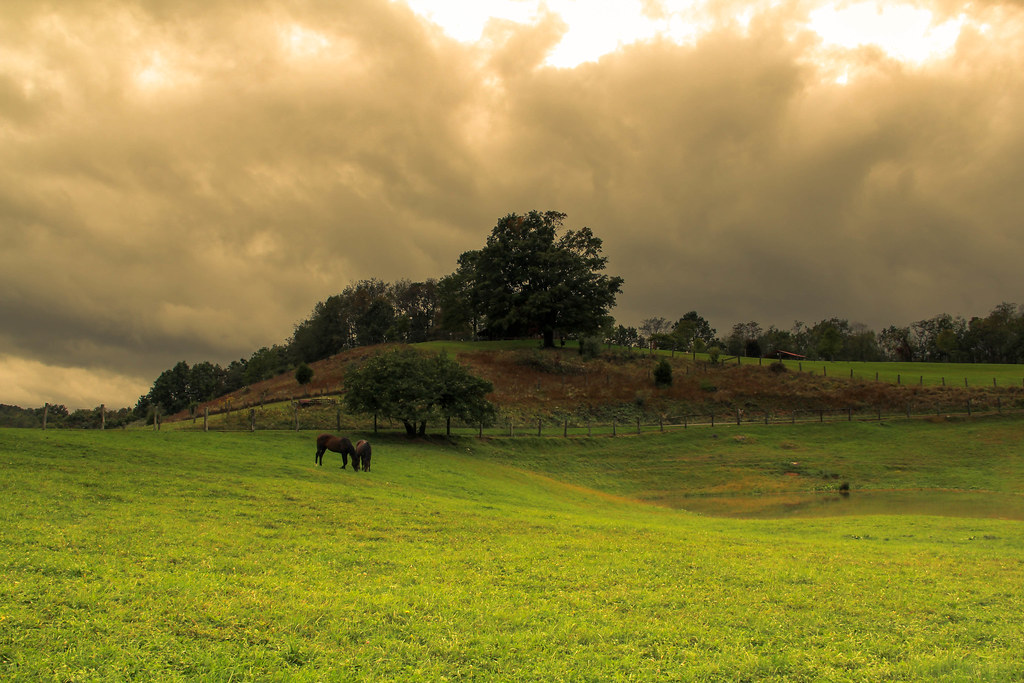
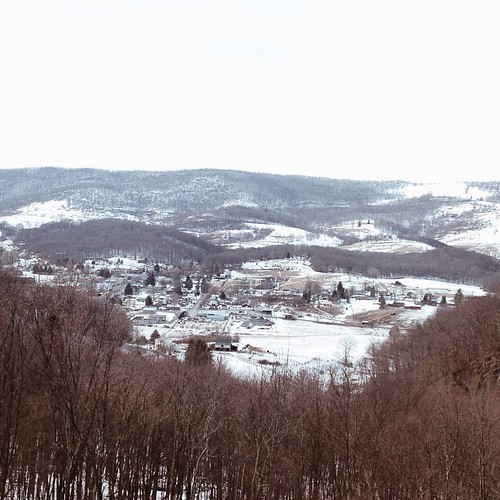
Highland Maple Festival - Wintry Vista

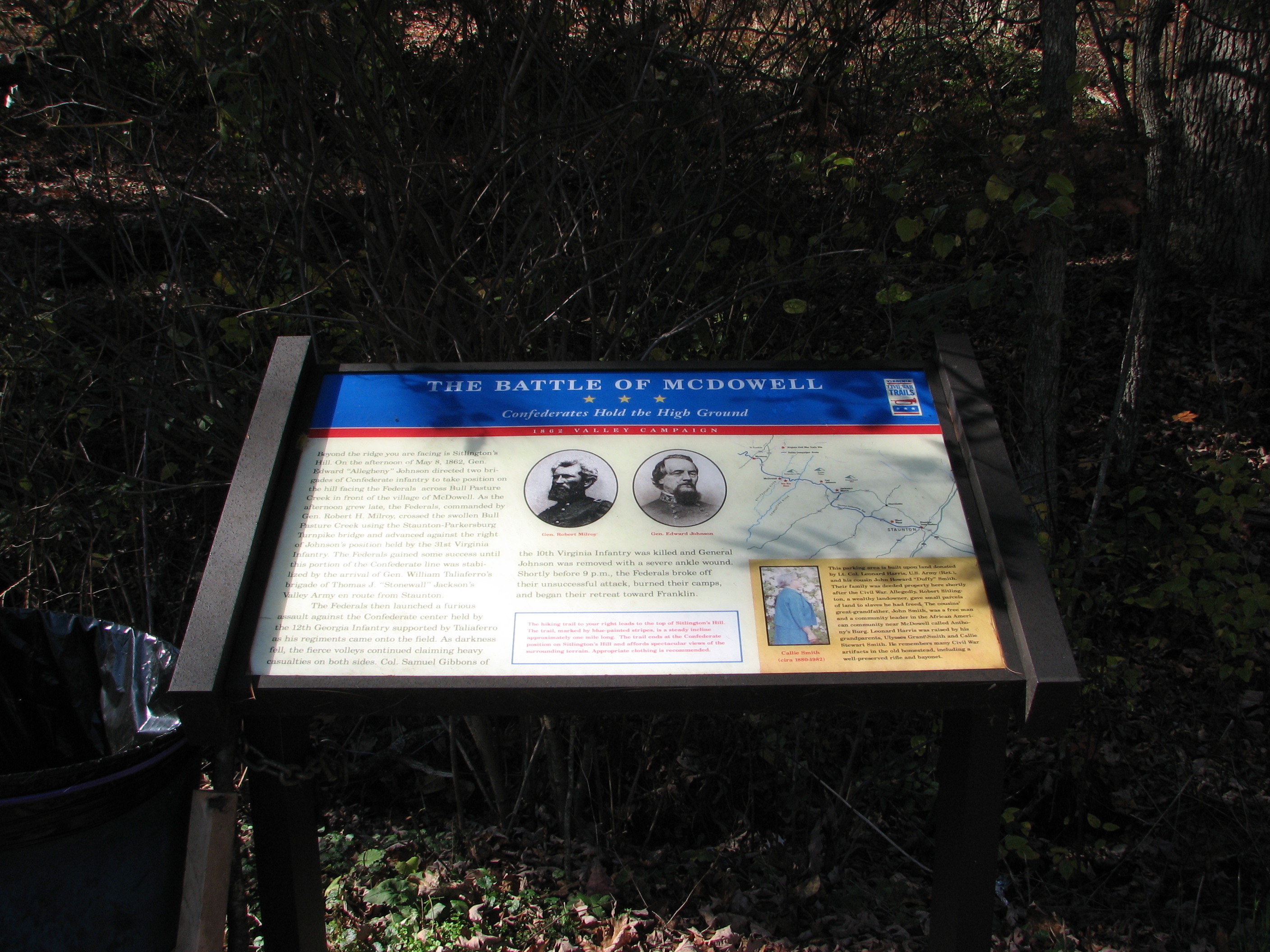
CONFEDERATE BREAST WORKS
SHENANDOAH MOUNTAIN
CIVIL WAR MARKER
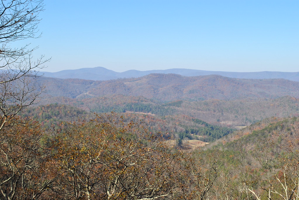
SHENANDOAH MOUNTAIN
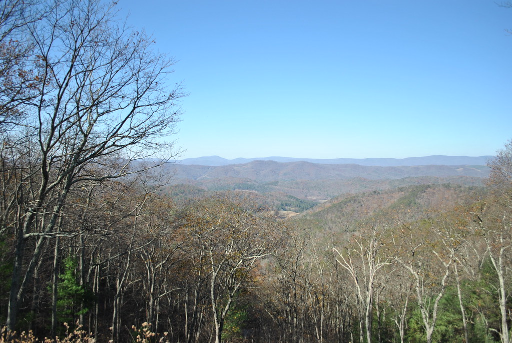
SHENANDOAH MOUNTAIN
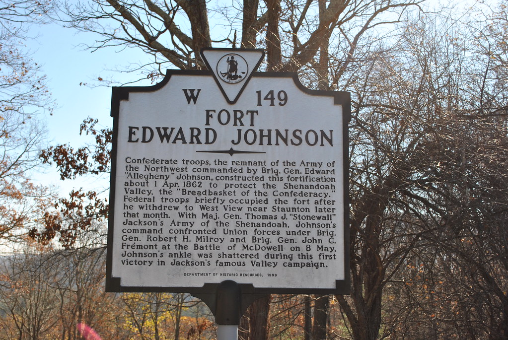
FORT EDWARD JOHNSON

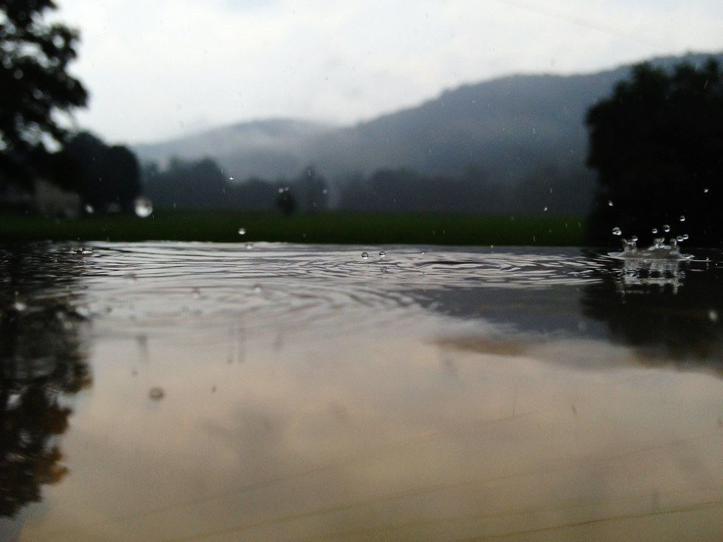
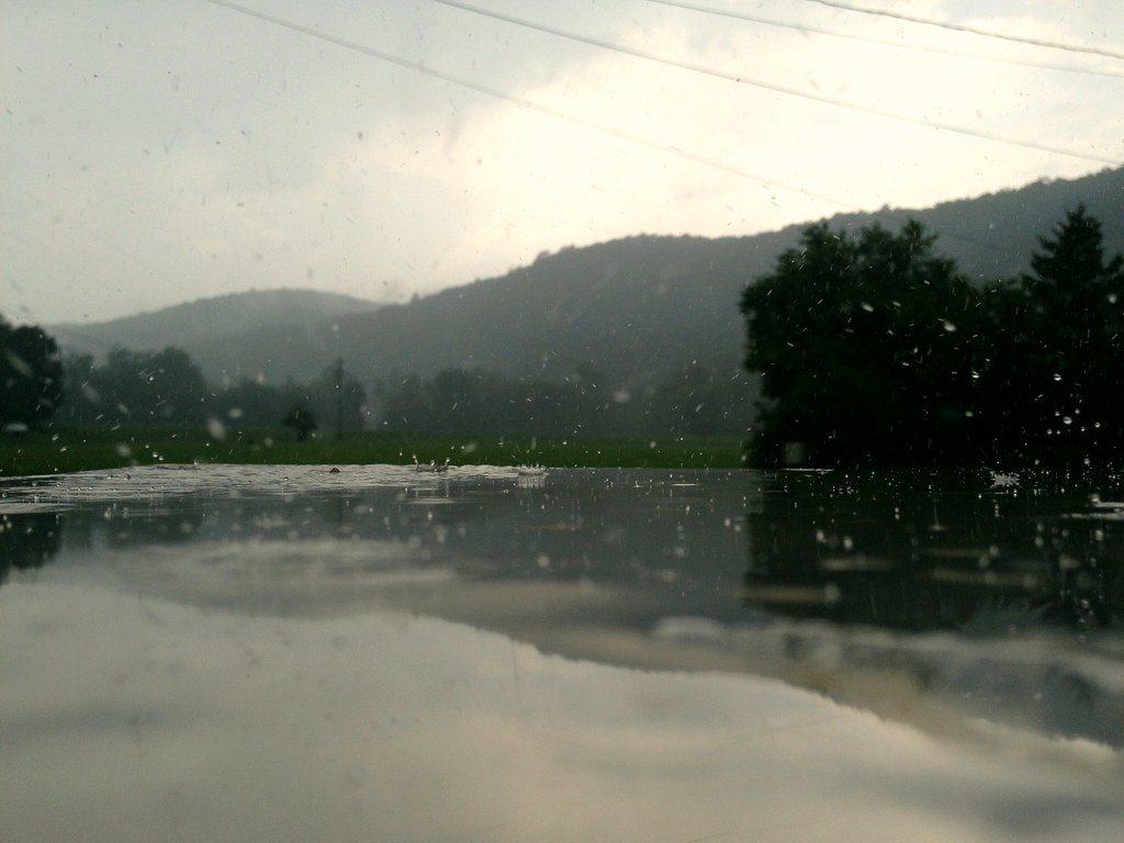
Winter Stream II

Remains of Fort Edward Johnson
Fort Edward Johnson
September 18, 2012-IMG_8020
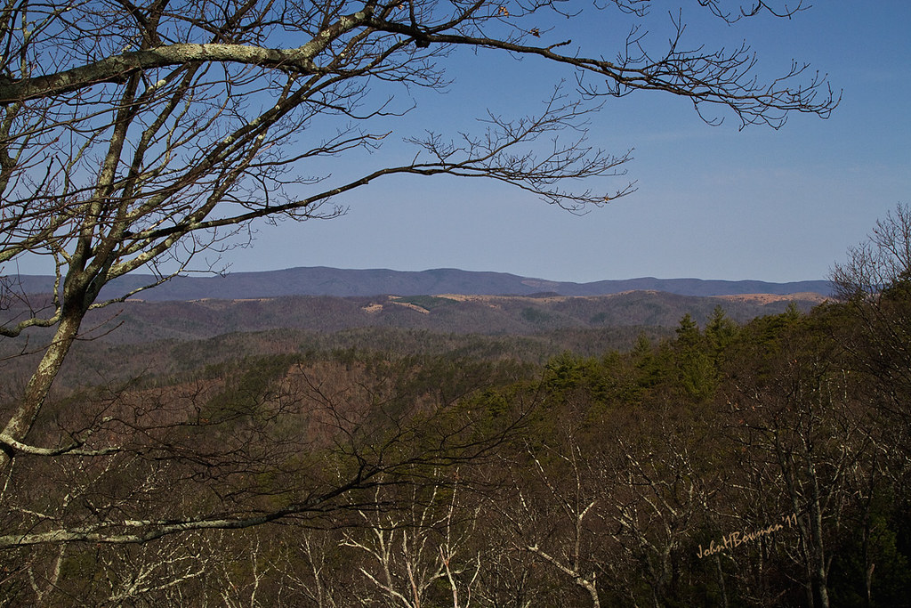
Mountains and Clouds
September 18, 2012-IMG_8090
Pocket Darkroom
HM8G3969.jpg
September 18, 2012-IMG_8096
HM8G3961.jpg

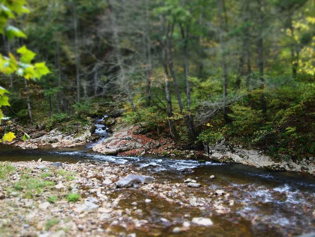
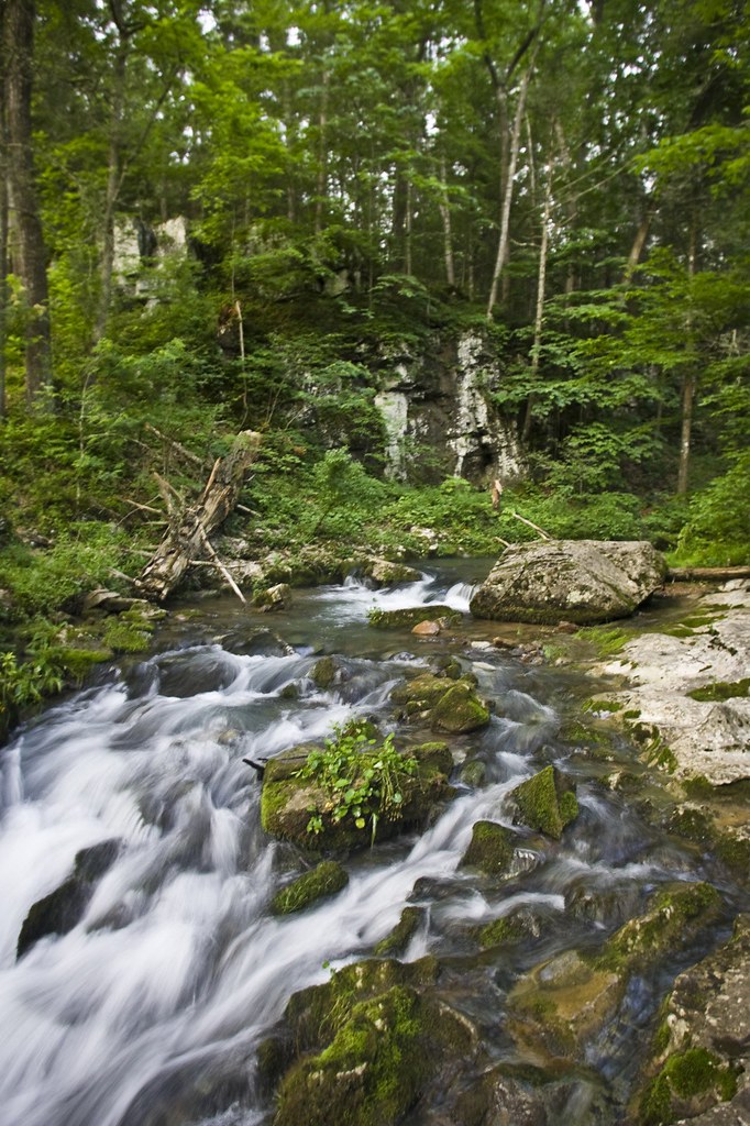
Swimming/Fishing hole
Good news, the mountains are still here. #appalachia #lookingatappalachia #snow #landscape #monterey #virginia
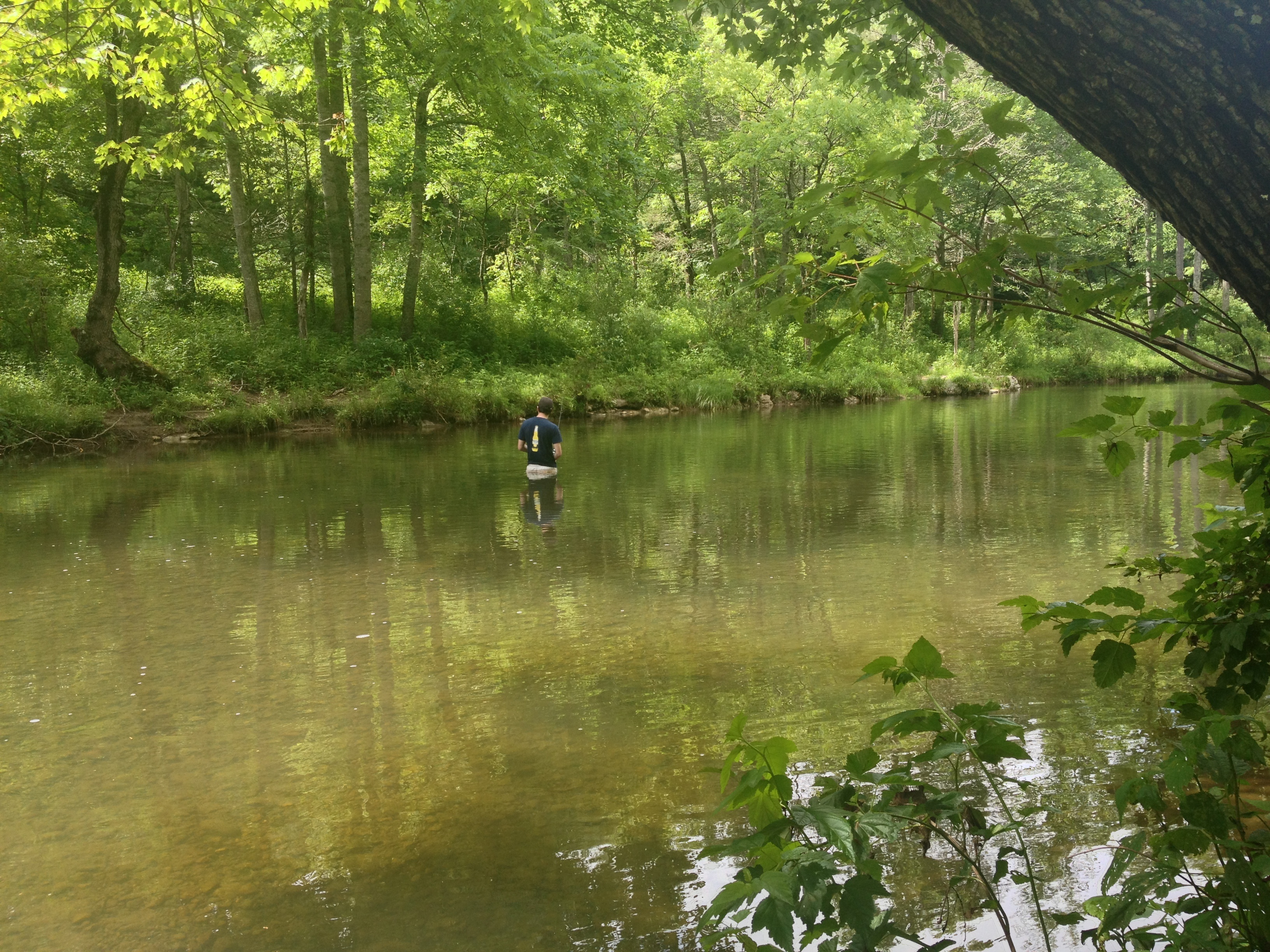
Severin fishing
Pocket Darkroom
Topographic Map of Peaceful Valley Dr, Williamsville, VA, USA
Find elevation by address:

Places near Peaceful Valley Dr, Williamsville, VA, USA:
538 Peaceful Valley Dr
9595 Bullpasture River Rd
Williamsville
16337 Indian Draft Rd
Coursey Springs Fish Cultural Station
13954 Deerfield Rd
16338 Indian Draft Rd
Williamsville
Deerfield Road
Head Waters, VA, USA
Bertie Lane
3292 Deerfield Valley Rd
Mcdowell
Deerfield
Clayton Mill Road
Clayton Mill Road
3090 Deerfield Valley Rd
337 Carpenters Ln
Burnsville
Dry Run Rd, Williamsville, VA, USA
Recent Searches:
- Elevation of Felindre, Swansea SA5 7LU, UK
- Elevation of Leyte Industrial Development Estate, Isabel, Leyte, Philippines
- Elevation of W Granada St, Tampa, FL, USA
- Elevation of Pykes Down, Ivybridge PL21 0BY, UK
- Elevation of Jalan Senandin, Lutong, Miri, Sarawak, Malaysia
- Elevation of Bilohirs'k
- Elevation of 30 Oak Lawn Dr, Barkhamsted, CT, USA
- Elevation of Luther Road, Luther Rd, Auburn, CA, USA
- Elevation of Unnamed Road, Respublika Severnaya Osetiya — Alaniya, Russia
- Elevation of Verkhny Fiagdon, North Ossetia–Alania Republic, Russia