Elevation of Carpenters Ln, Warm Springs, VA, USA
Location: United States > Virginia > Highland County > Monterey > Monterey >
Longitude: -79.649622
Latitude: 38.2484169
Elevation: 811m / 2661feet
Barometric Pressure: 92KPa
Elevation Map:
Satellite Map:
Related Photos:

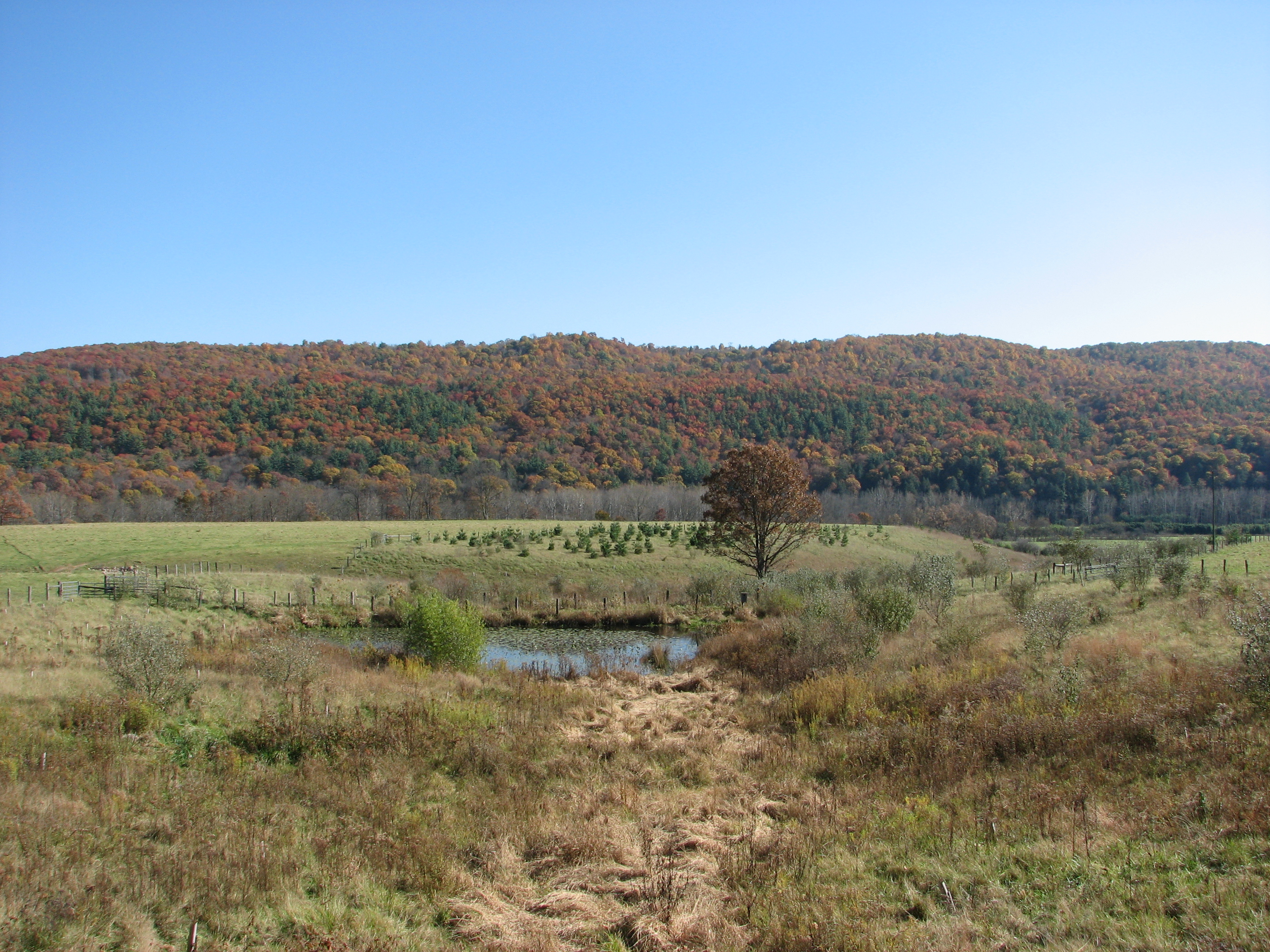
Late Winter in Highland County

Red Barn in the Fall

Bullpasture River

Chestnut-sided Warbler

The Bullpasture River Gorge Footbridge

Bullpasture River Panorama

Highland Farm

Bullpasture River Diorama Panorama

Bullpasture River

The Bullpasture River Gorge Footbridge

View from the wedding

View from the wedding

View from the wedding
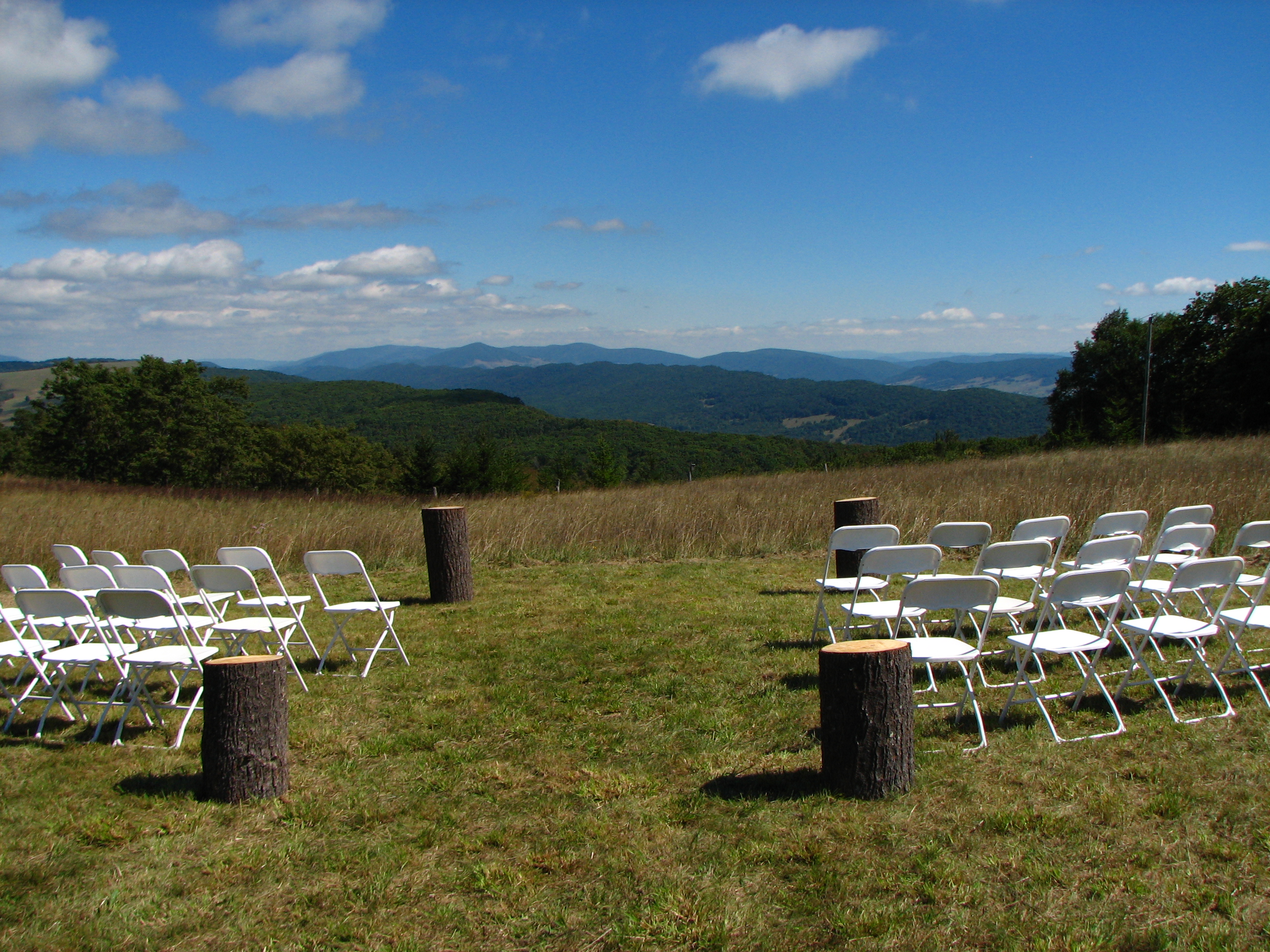
View from the wedding
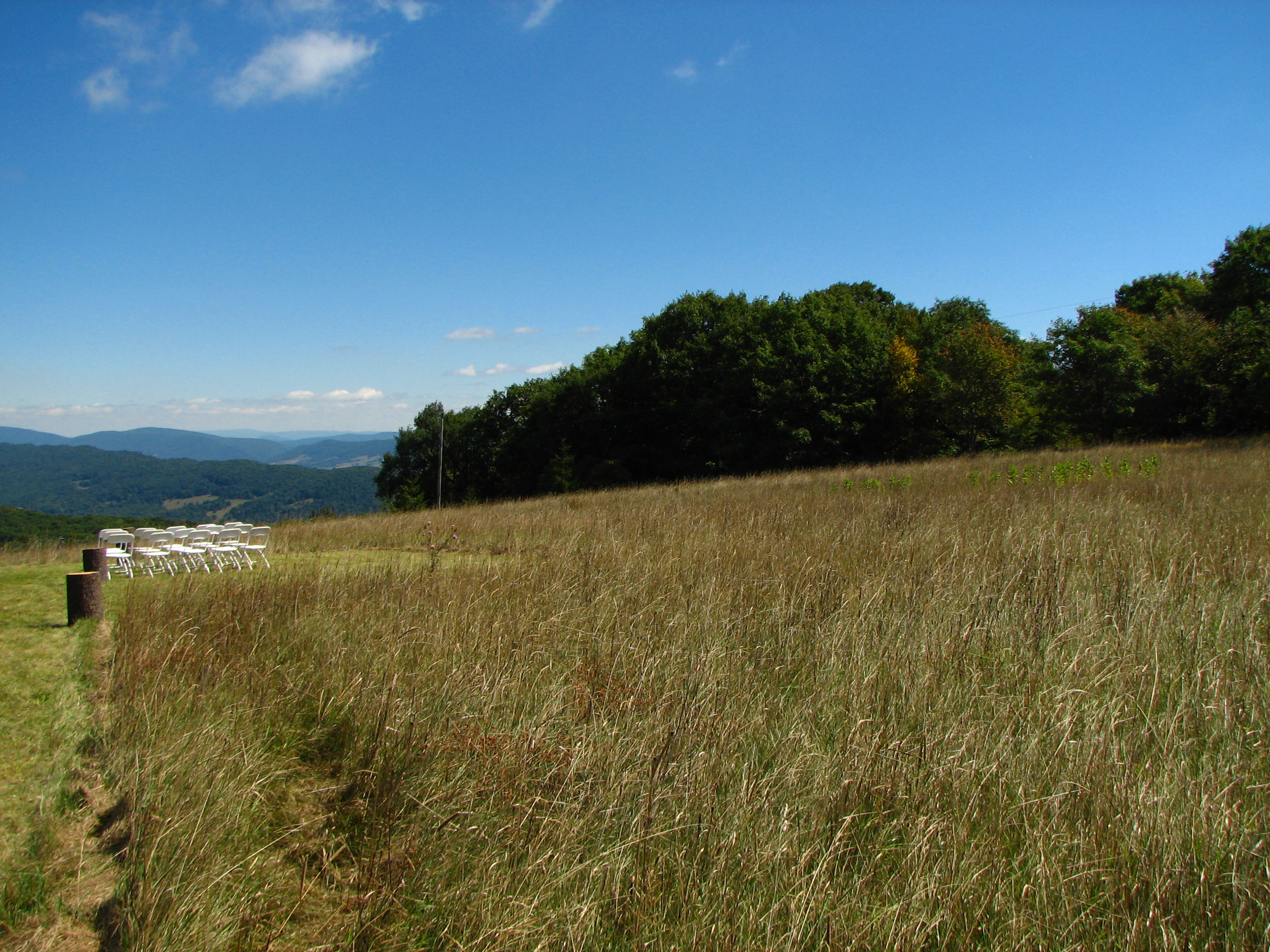
View from the wedding

Swimming/Fishing hole

Bath County Pumped Storage Lower Reservoir

Lower Reservoir Dam

Hot Springs, VA road trip

Severin fishing

Jackson River

HM8G3969.jpg

HM8G3961.jpg
IMG_2704.JPG

2014.03.09.041 Sap Running

IMG_2649.JPG
Topographic Map of Carpenters Ln, Warm Springs, VA, USA
Find elevation by address:

Places near Carpenters Ln, Warm Springs, VA, USA:
8422 Big Valley Rd
Burnsville
Dry Run Rd, Williamsville, VA, USA
Mustoe
4281 Ccc Rd
124 Whispering Pine Rd
9595 Bullpasture River Rd
Mill Gap
Mill Gap Rd, Monterey, VA, USA
Williamsville
16337 Indian Draft Rd
515 Wade Woods Ln
10061 Mill Gap Rd
Coursey Springs Fish Cultural Station
265 Bear Rock Ridge Rd
16338 Indian Draft Rd
Williamsville
3490 Mill Gap Rd
8056 Upper Back Creek Rd
538 Peaceful Valley Dr
Recent Searches:
- Elevation of Co Rd 87, Jamestown, CO, USA
- Elevation of Tenjo, Cundinamarca, Colombia
- Elevation of Côte-des-Neiges, Montreal, QC H4A 3J6, Canada
- Elevation of Bobcat Dr, Helena, MT, USA
- Elevation of Zu den Ihlowbergen, Althüttendorf, Germany
- Elevation of Badaber, Peshawar, Khyber Pakhtunkhwa, Pakistan
- Elevation of SE Heron Loop, Lincoln City, OR, USA
- Elevation of Slanický ostrov, 01 Námestovo, Slovakia
- Elevation of Spaceport America, Co Rd A, Truth or Consequences, NM, USA
- Elevation of Warwick, RI, USA