Elevation of CCC Rd, Monterey, VA, USA
Location: United States > Virginia > Highland County > Monterey > Monterey >
Longitude: -79.725586
Latitude: 38.24334
Elevation: 968m / 3176feet
Barometric Pressure: 90KPa
Elevation Map:
Satellite Map:
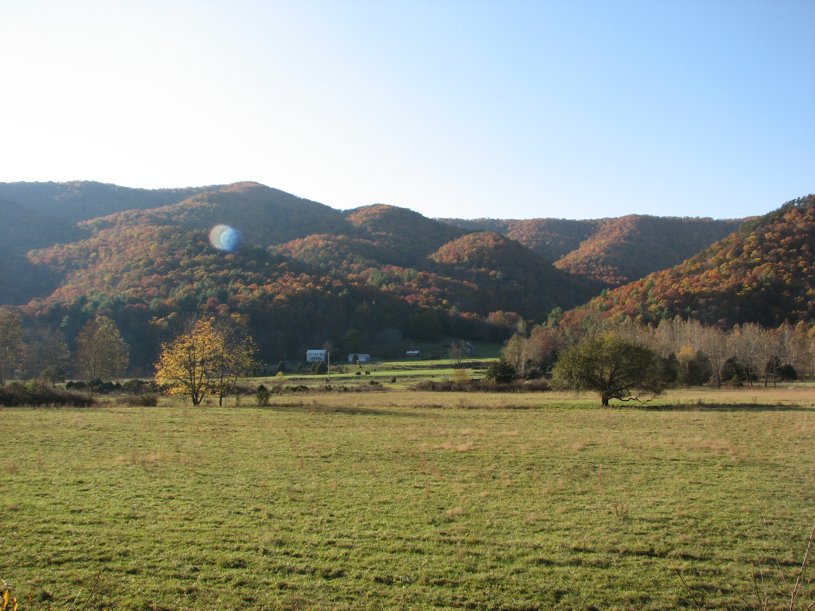
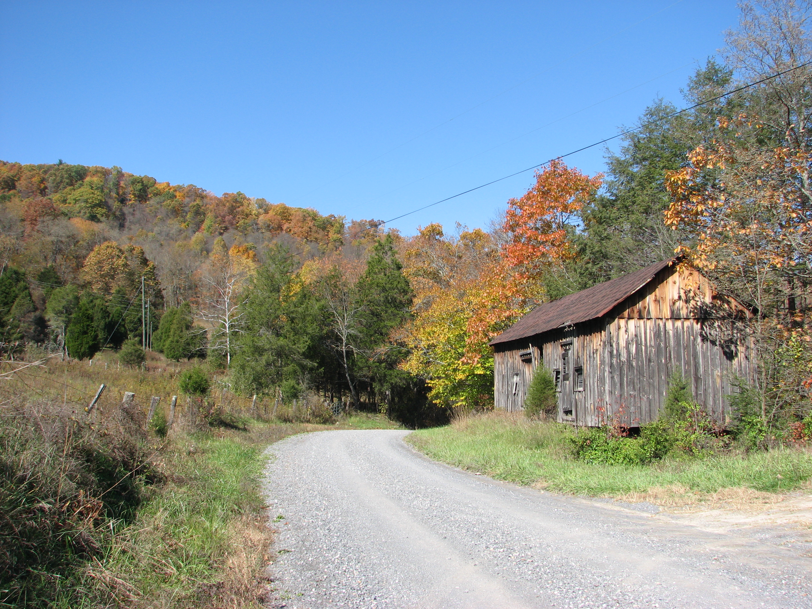
Related Photos:
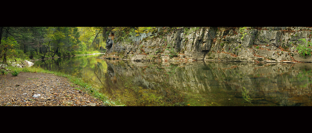
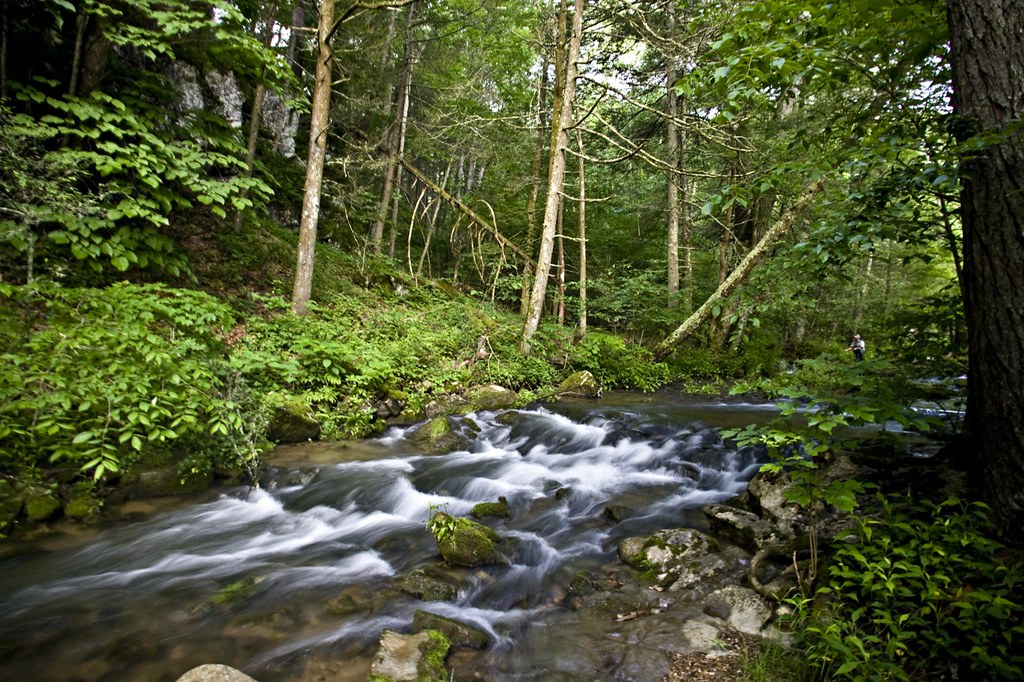
Bullpasture River Panorama
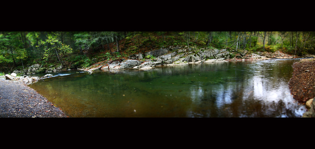
Bullpasture River Diorama Panorama
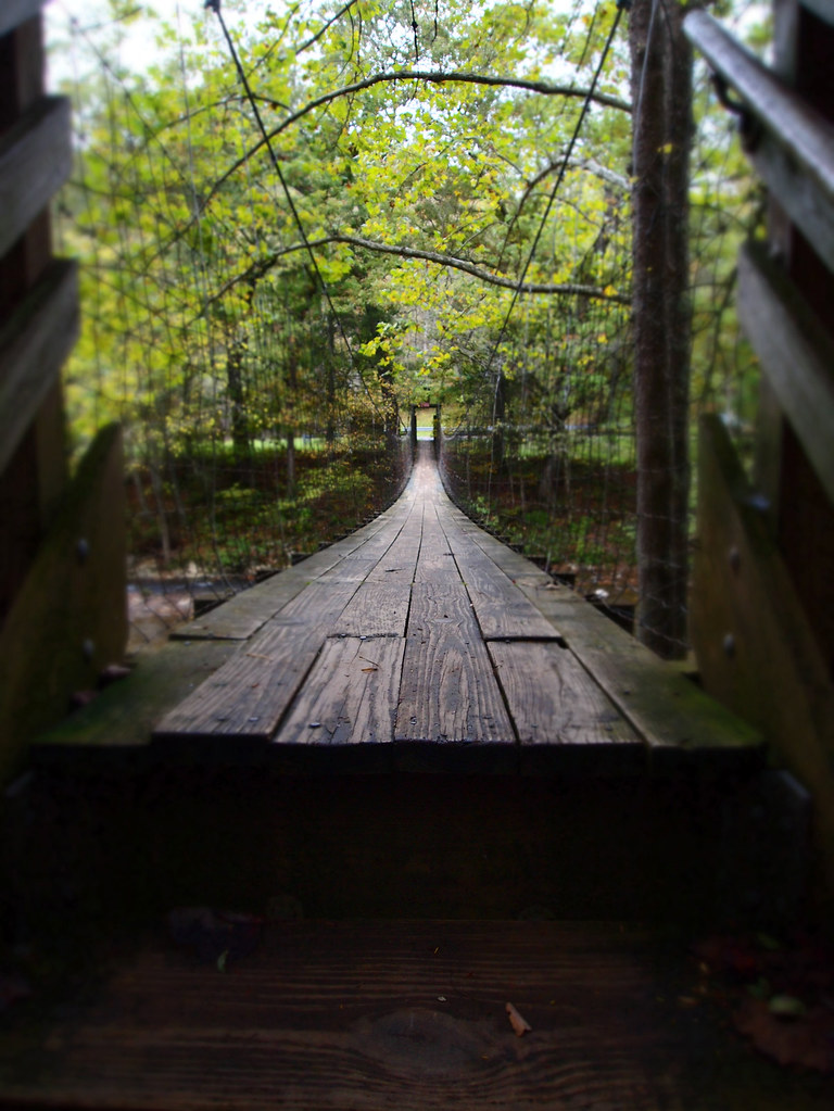
The Bullpasture River Gorge Footbridge
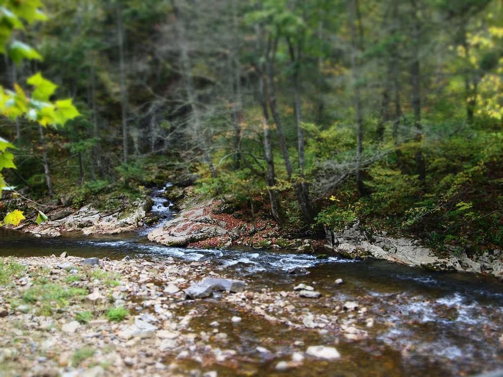
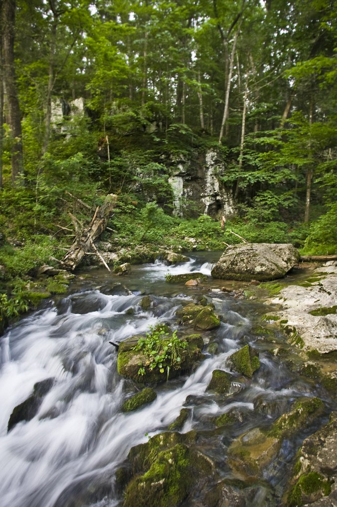
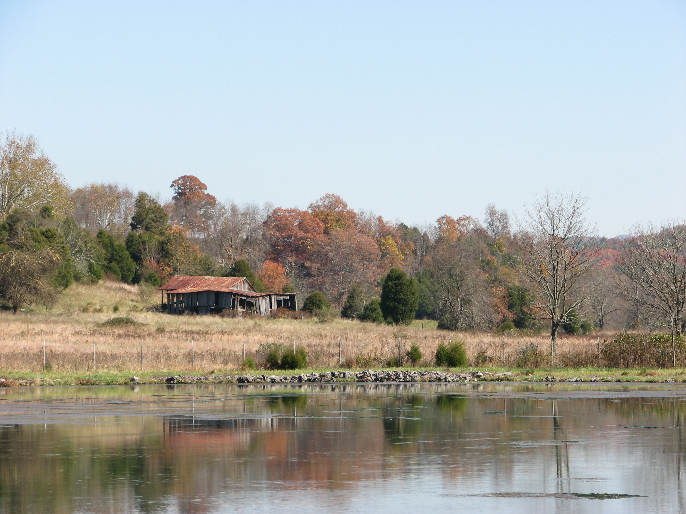
Bullpasture River
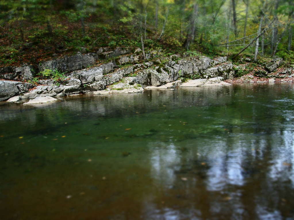
Bullpasture River
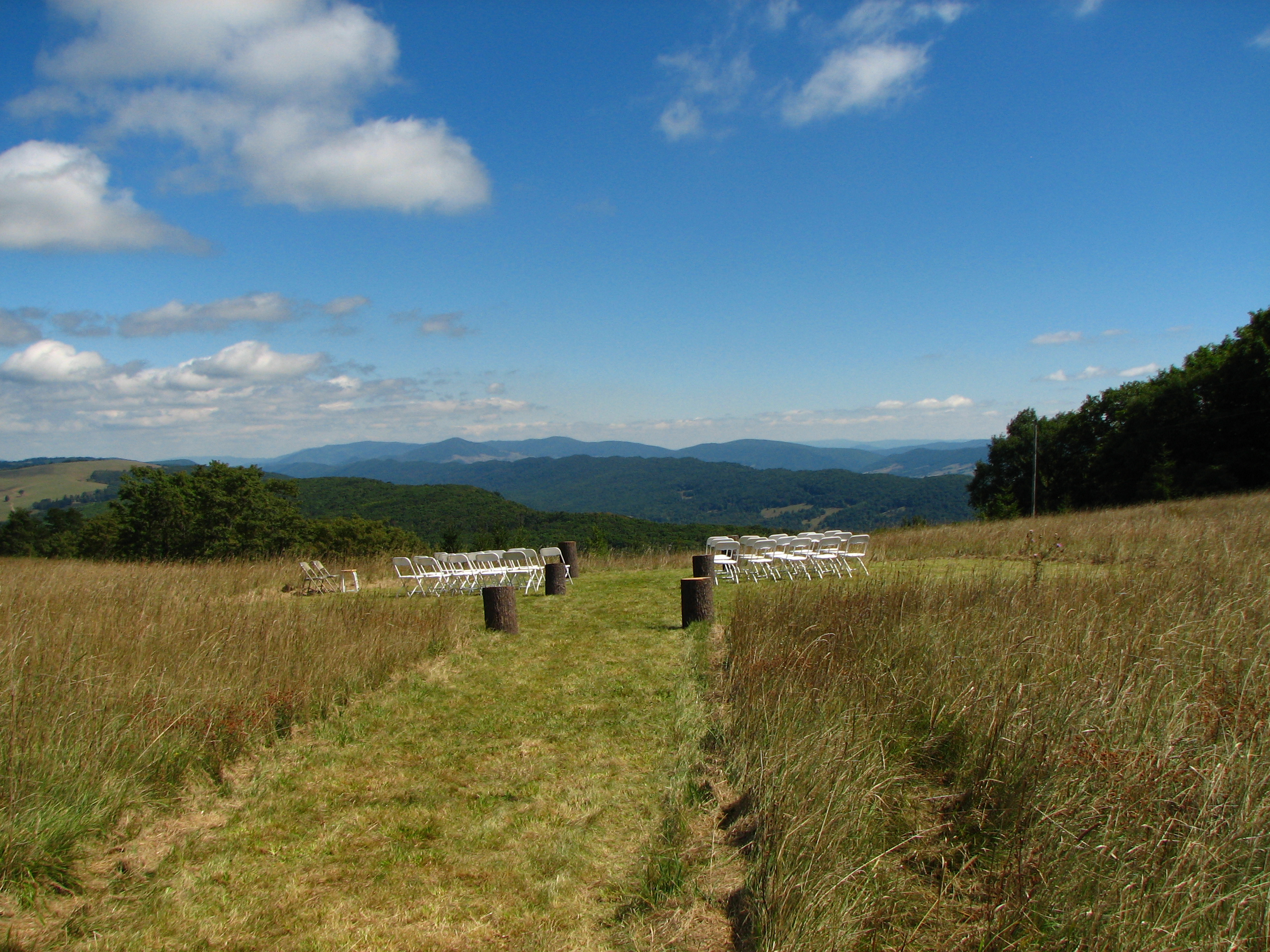
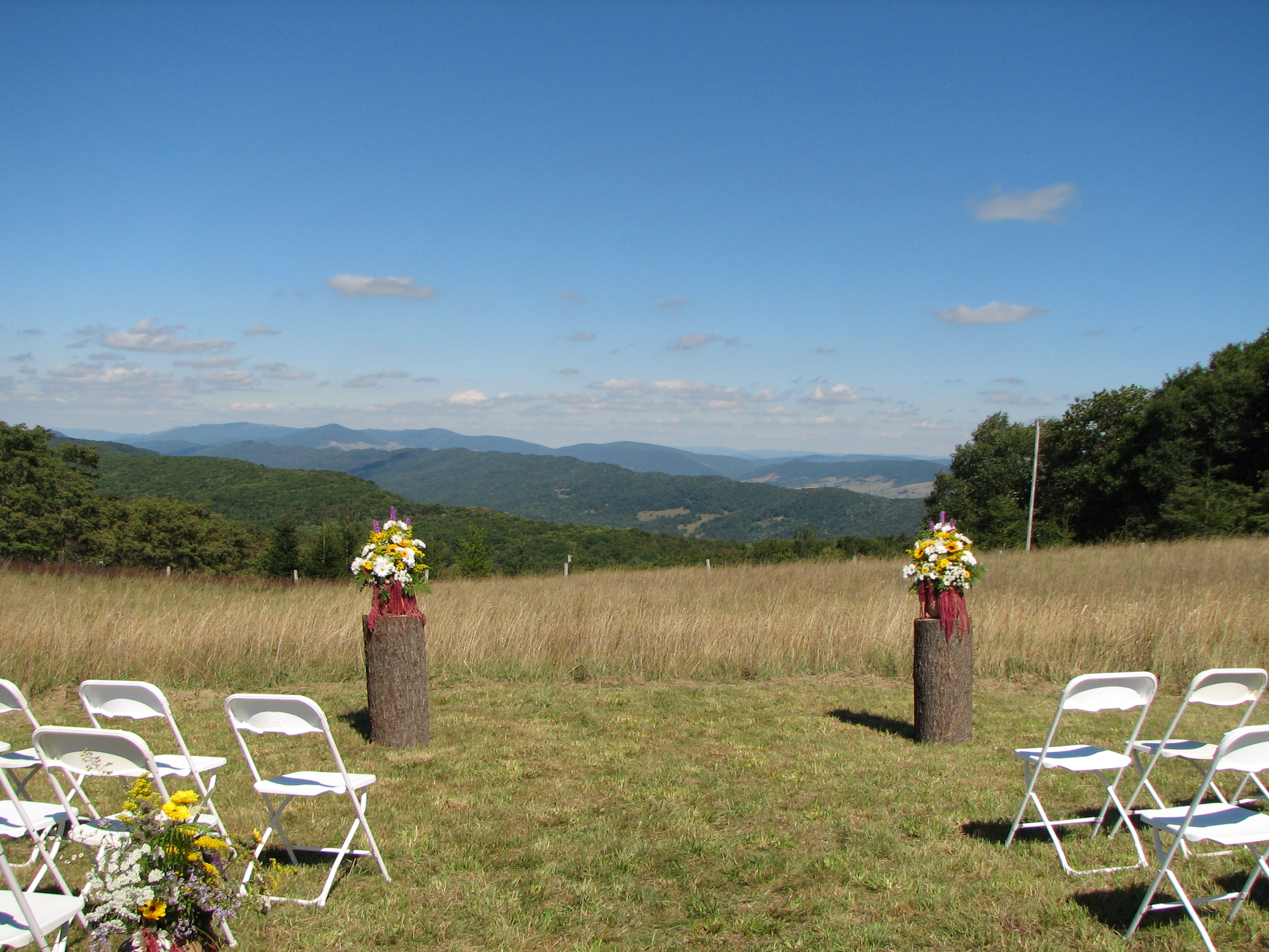
View from the wedding
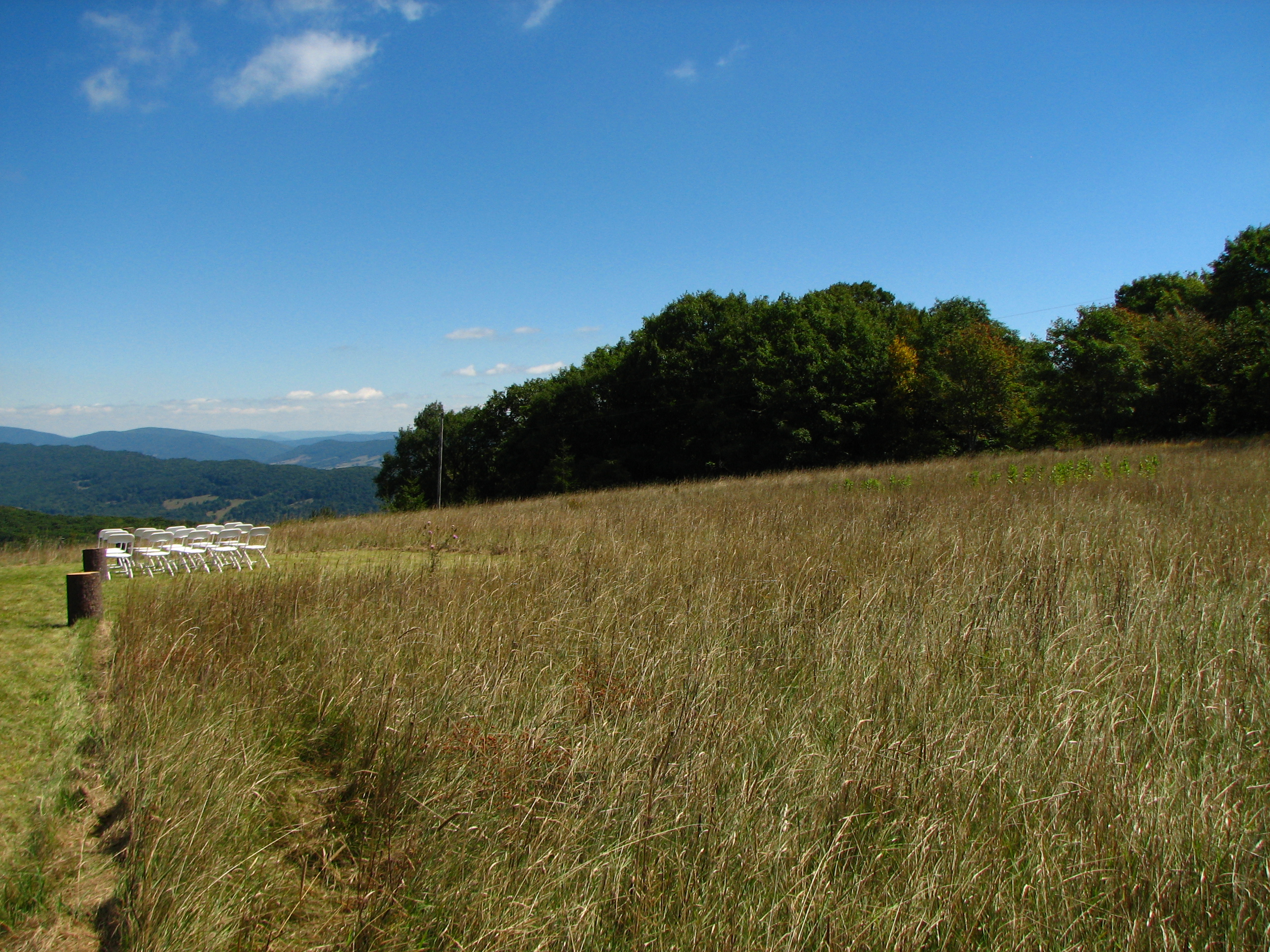
View from the wedding
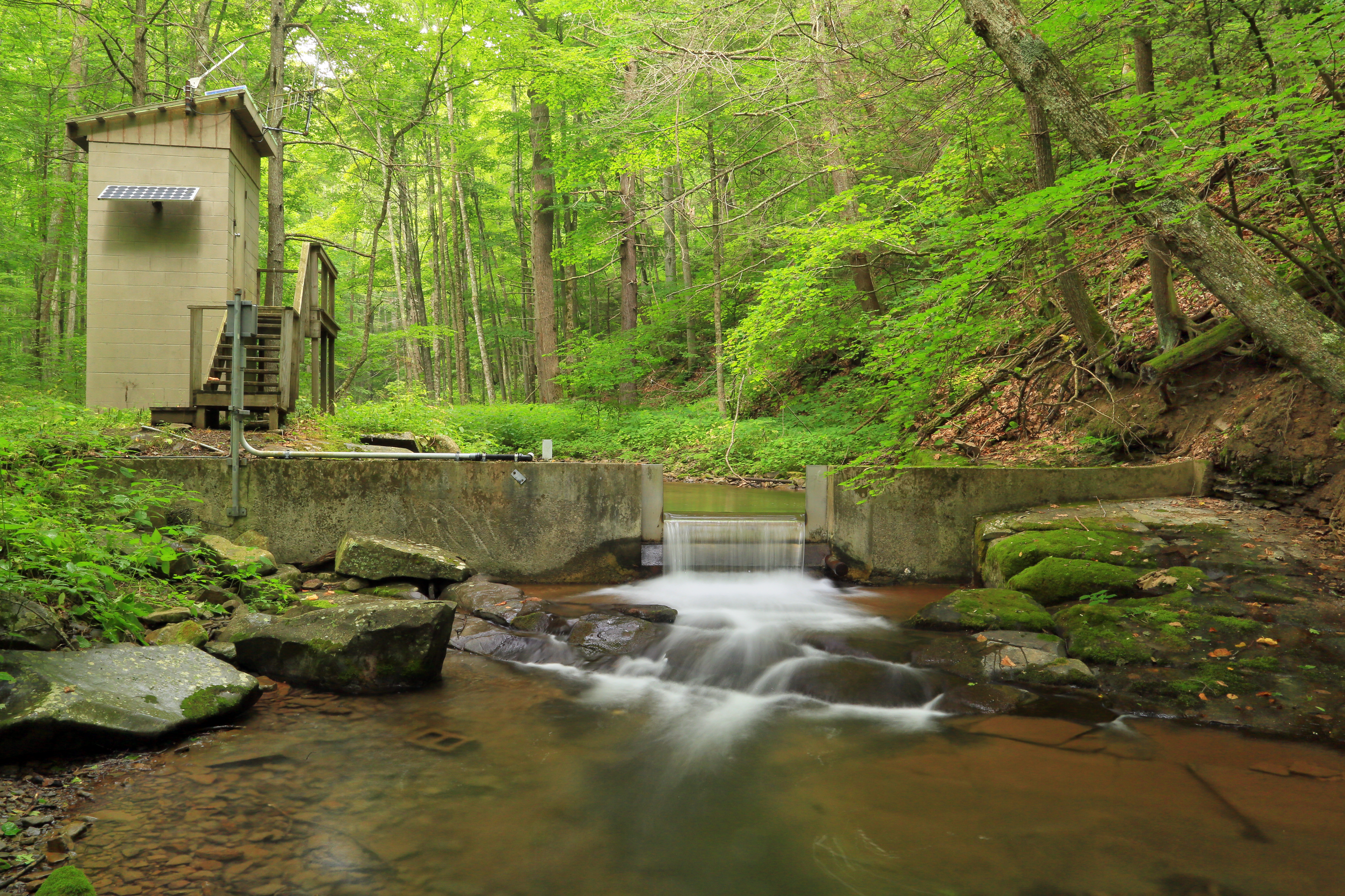
U.S. Geological Survey, Stream Gage, Little Back Creek, Little Mountain, George Washington National Forest, Bath County, Virginia 2
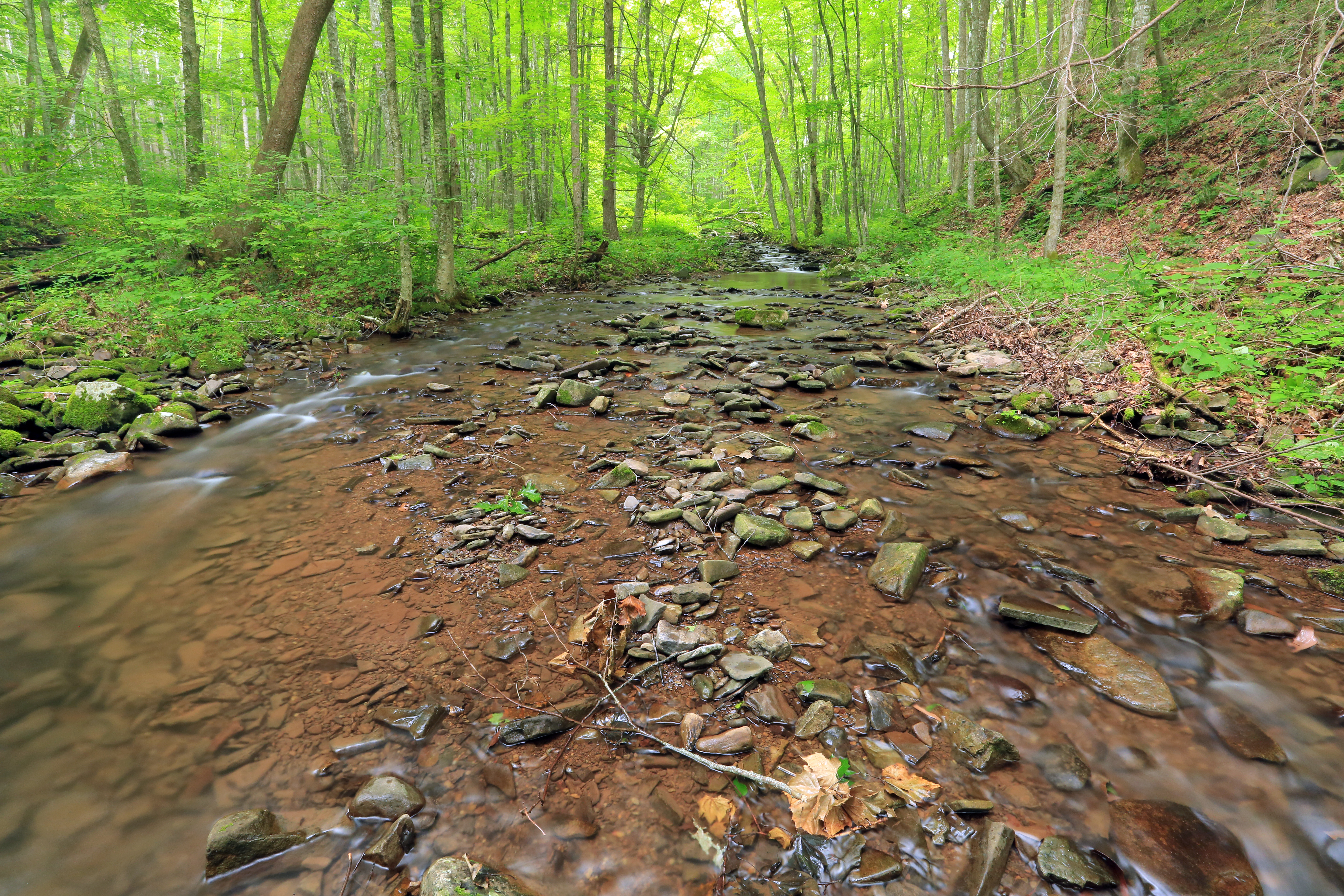
Little Back Creek, Little Mountain, George Washington National Forest, Bath County, Virginia 1
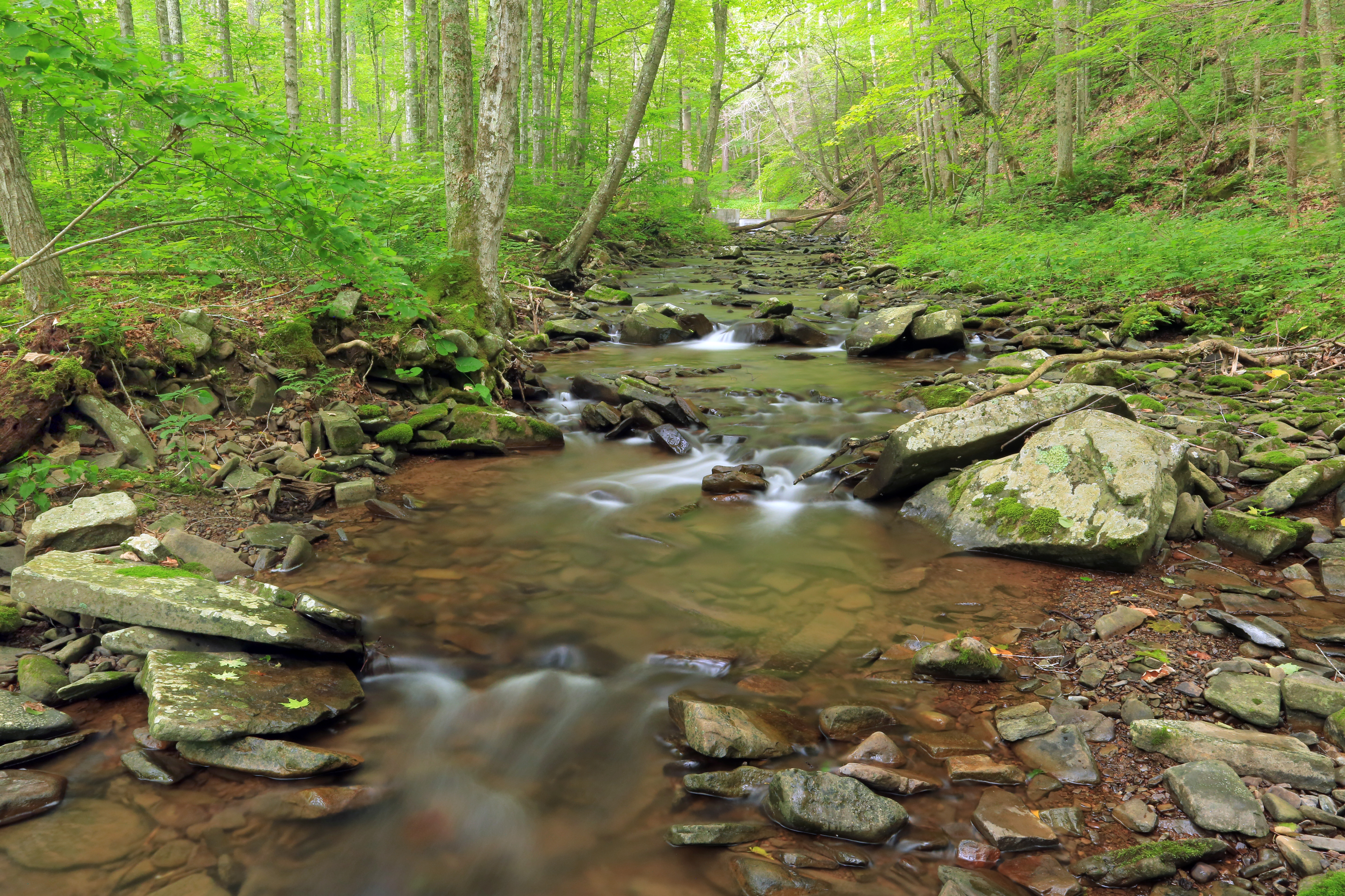
Little Back Creek, Little Mountain, George Washington National Forest, Bath County, Virginia 3
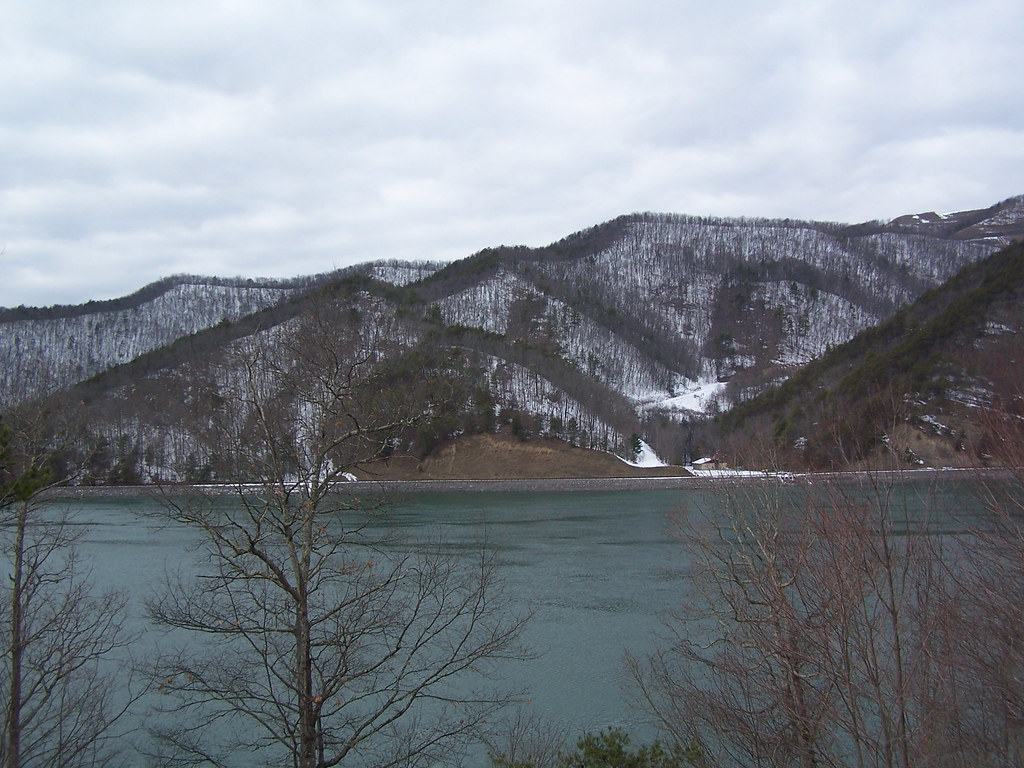
Bath County Pumped Storage Lower Reservoir
HM8G3969.jpg
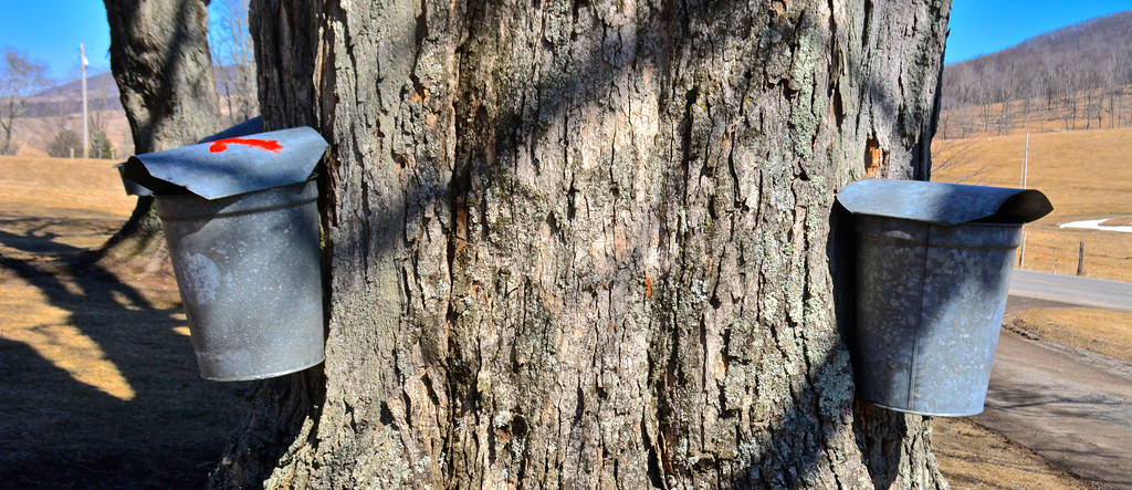
2014.03.09.041 Sap Running
HM8G3961.jpg

IMG_2649.JPG
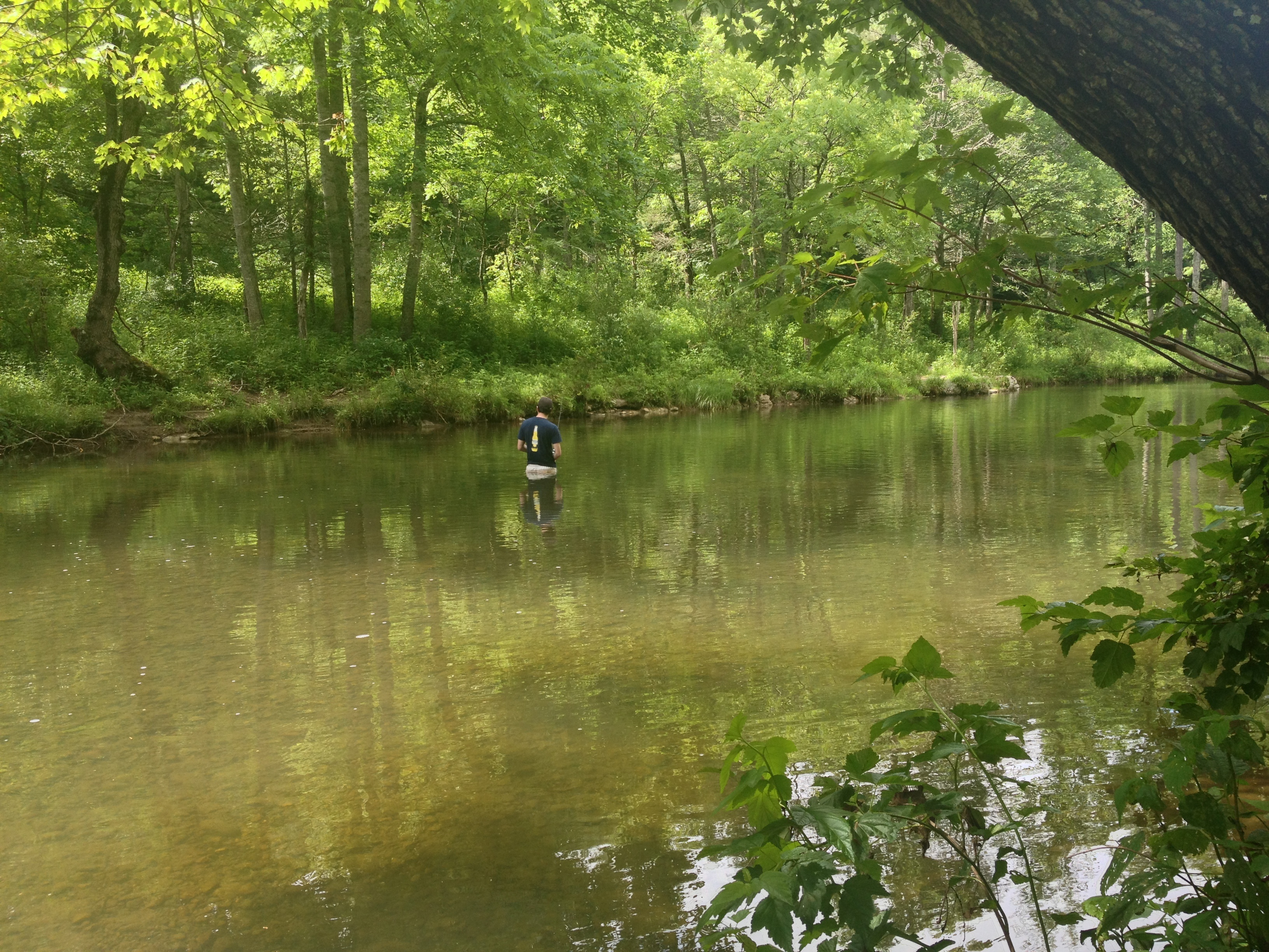
Severin fishing
Jackson River
IMG_2722.JPG
IMG_2663.JPG
The end of the Driveway
IMG_2666.JPG
IMG_2651.JPG
IMG_3451.JPG
IMG_2704.JPG
Topographic Map of CCC Rd, Monterey, VA, USA
Find elevation by address:

Places near CCC Rd, Monterey, VA, USA:
10061 Mill Gap Rd
8422 Big Valley Rd
337 Carpenters Ln
600 Poor Farm Rd
Mill Gap
Mill Gap Rd, Monterey, VA, USA
Dry Run Rd, Williamsville, VA, USA
Burnsville
Sunrise
124 Whispering Pine Rd
515 Wade Woods Ln
265 Bear Rock Ridge Rd
8056 Upper Back Creek Rd
20857 Sam Snead Hwy
Mustoe
Big Back Creek Road
3490 Mill Gap Rd
Upper Back Creek Road
Bath County
Williamsville
Recent Searches:
- Elevation of Luther Road, Luther Rd, Auburn, CA, USA
- Elevation of Unnamed Road, Respublika Severnaya Osetiya — Alaniya, Russia
- Elevation of Verkhny Fiagdon, North Ossetia–Alania Republic, Russia
- Elevation of F. Viola Hiway, San Rafael, Bulacan, Philippines
- Elevation of Herbage Dr, Gulfport, MS, USA
- Elevation of Lilac Cir, Haldimand, ON N3W 2G9, Canada
- Elevation of Harrod Branch Road, Harrod Branch Rd, Kentucky, USA
- Elevation of Wyndham Grand Barbados Sam Lords Castle All Inclusive Resort, End of Belair Road, Long Bay, Bridgetown Barbados
- Elevation of Iga Trl, Maggie Valley, NC, USA
- Elevation of N Co Rd 31D, Loveland, CO, USA