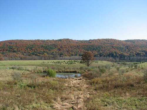
Elevation of Big Valley Rd, Warm Springs, VA, USA

Location: United States > Virginia > Highland County > Monterey > Monterey >

Longitude: -79.667313

Latitude: 38.2288591

Elevation: 813m / 2667feet

Barometric Pressure: 92KPa

Elevation Map:

elevation map of Big Valley Rd, Warm Springs, VA, USA

Satellite Map:

Satellite map of Big Valley Rd, Warm Springs, VA, USA

Related Photos:

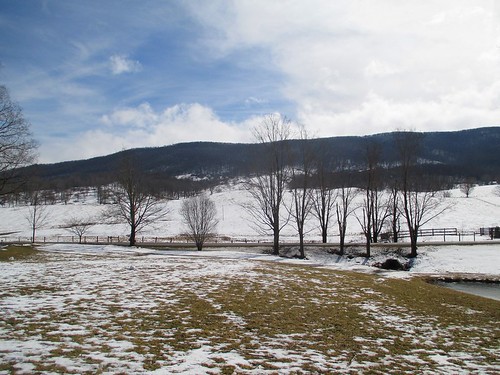
view fairlawnfarm duffssugarhouse highlandcounty virginia
Late Winter in Highland County
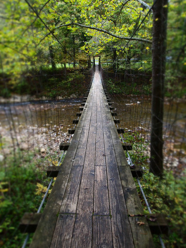
bridge copyright river virginia footbridge suspensionbridge allrightsreserved highlandcounty sooc bullpastureriver mzuiko1442 dioramaartfilter ©daveelmore
The Bullpasture River Gorge Footbridge
panorama copyright nature river virginia woods allrightsreserved highlandcounty panoramicstitch 20photos bullpastureriver konicahexanon57mm112 ©daveelmore
Bullpasture River Panorama
copyright nature river virginia woods allrightsreserved highlandcounty tiltshifteffect bullpastureriver mzuiko1442 dioramaartfilter ©daveelmore
Bullpasture River
copyright nature river virginia woods allrightsreserved highlandcounty tiltshifteffect bullpastureriver mzuiko1442 dioramaartfilter ©daveelmore
Bullpasture River
paddyknob bathcounty virginia warbler woodwarbler woodwarblers chestnutsidedwarbler animal creature nature outdoor outdoors outside nikon nikond500 birdwatching birding bird birder birds
Chestnut-sided Warbler
photosbymch landscape redbarn barn fallcolors mountains westvirginia usa canon 5dmkiv 2017 autumn pasture trees leaves
Red Barn in the Fall
panorama copyright nature river landscape virginia woods allrightsreserved highlandcounty tiltshifteffect bullpastureriver mzuiko1442 dioramaartfilter 10photopanoramicstitch ©daveelmore
Bullpasture River Diorama Panorama
bridge copyright river virginia footbridge suspensionbridge allrightsreserved highlandcounty sooc bullpastureriver mzuiko1442 dioramaartfilter ©daveelmore
The Bullpasture River Gorge Footbridge
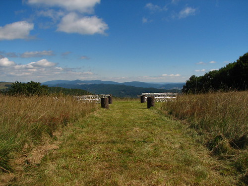
county wedding mountain virginia jill farm gabe highlandcounty bearmountainfarm peoplefriendsjill placesvirginia placesbear placeshighland descriptionswedding peoplefriendsgabe
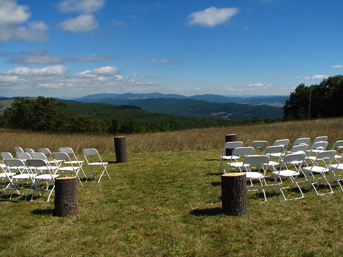
View from the wedding
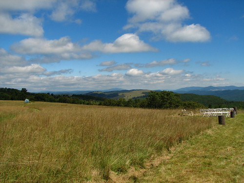
county wedding mountain virginia jill farm gabe highlandcounty bearmountainfarm peoplefriendsjill placesvirginia placesbear placeshighland descriptionswedding peoplefriendsgabe
View from the wedding
county wedding mountain virginia jill farm gabe highlandcounty bearmountainfarm peoplefriendsjill placesvirginia placesbear placeshighland descriptionswedding peoplefriendsgabe
View from the wedding
county wedding mountain virginia jill farm gabe highlandcounty bearmountainfarm peoplefriendsjill placesvirginia placesbear placeshighland descriptionswedding peoplefriendsgabe
View from the wedding
county wedding mountain virginia jill farm gabe highlandcounty bearmountainfarm peoplefriendsjill placesvirginia placesbear placeshighland descriptionswedding peoplefriendsgabe
View from the wedding
U.S. Geological Survey, Stream Gage, Little Back Creek, Little Mountain, George Washington National Forest, Bath County, Virginia 2
Little Back Creek, Little Mountain, George Washington National Forest, Bath County, Virginia 3
Little Back Creek, Little Mountain, George Washington National Forest, Bath County, Virginia 1
photostream
Swimming/Fishing hole
usa virginia unitedstates bacova bathcountypumpedstoragestation
Bath County Pumped Storage Lower Reservoir
usa virginia unitedstates bacova bathcountypumpedstoragestation
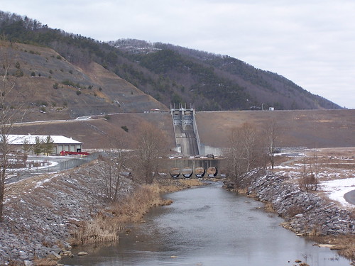
Lower Reservoir Dam
Hot Springs, VA road trip
photostream
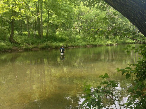
Severin fishing
trees rivers creeks
Jackson River
longexposure water virginia stream brook wilderness jeffersonnationalforest
HM8G3969.jpg
longexposure water virginia stream brook wilderness jeffersonnationalforest
HM8G3961.jpg
autumn mountain geotagged virginia pond geo:lat=3825269 geo:lon=7957275
IMG_2704.JPG