Elevation of Poor Farm Rd, Warm Springs, VA, USA
Location: United States > Virginia > Bath County > Warm Springs > Warm Springs >
Longitude: -79.748405
Latitude: 38.1693593
Elevation: 595m / 1952feet
Barometric Pressure: 94KPa
Elevation Map:
Satellite Map:
Related Photos:
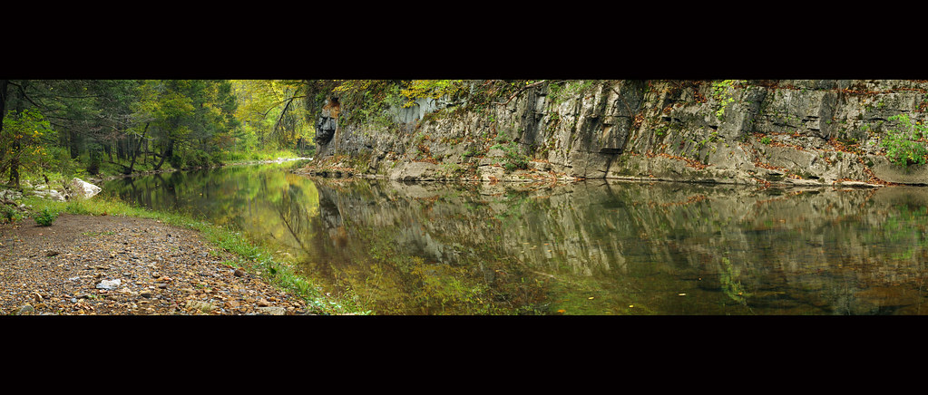
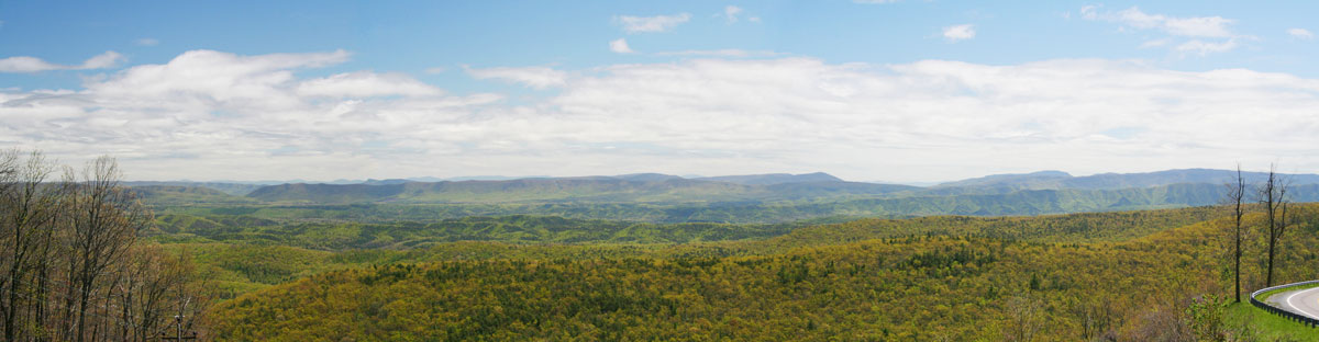
Bullpasture River Panorama
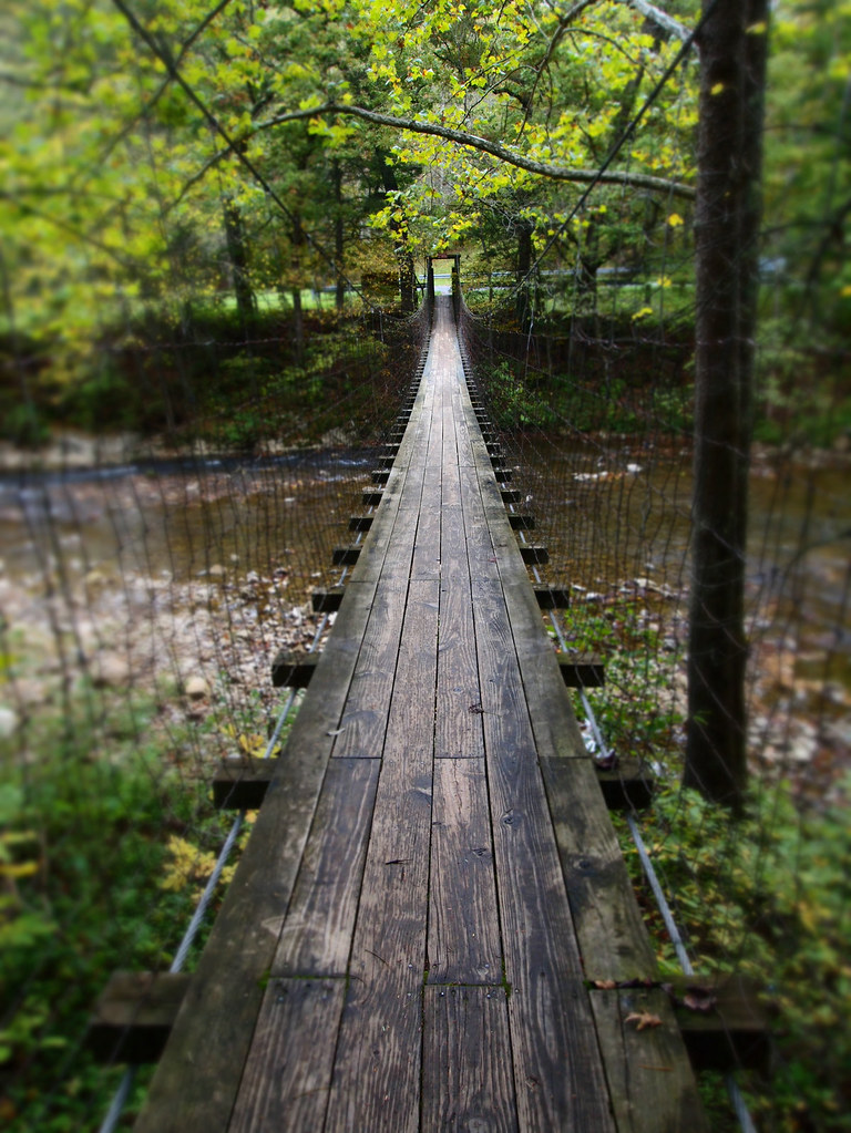
The Bullpasture River Gorge Footbridge
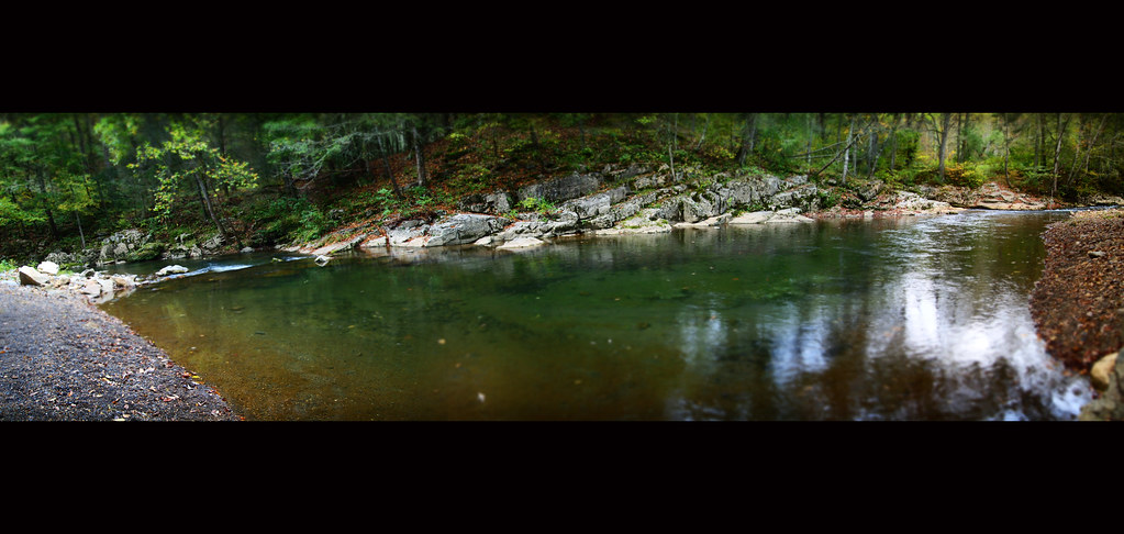
Bullpasture River Diorama Panorama
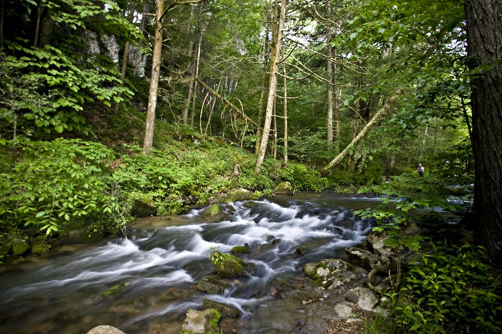
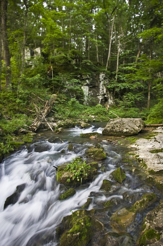
Bullpasture River
Jefferson Pools
Bullpasture River
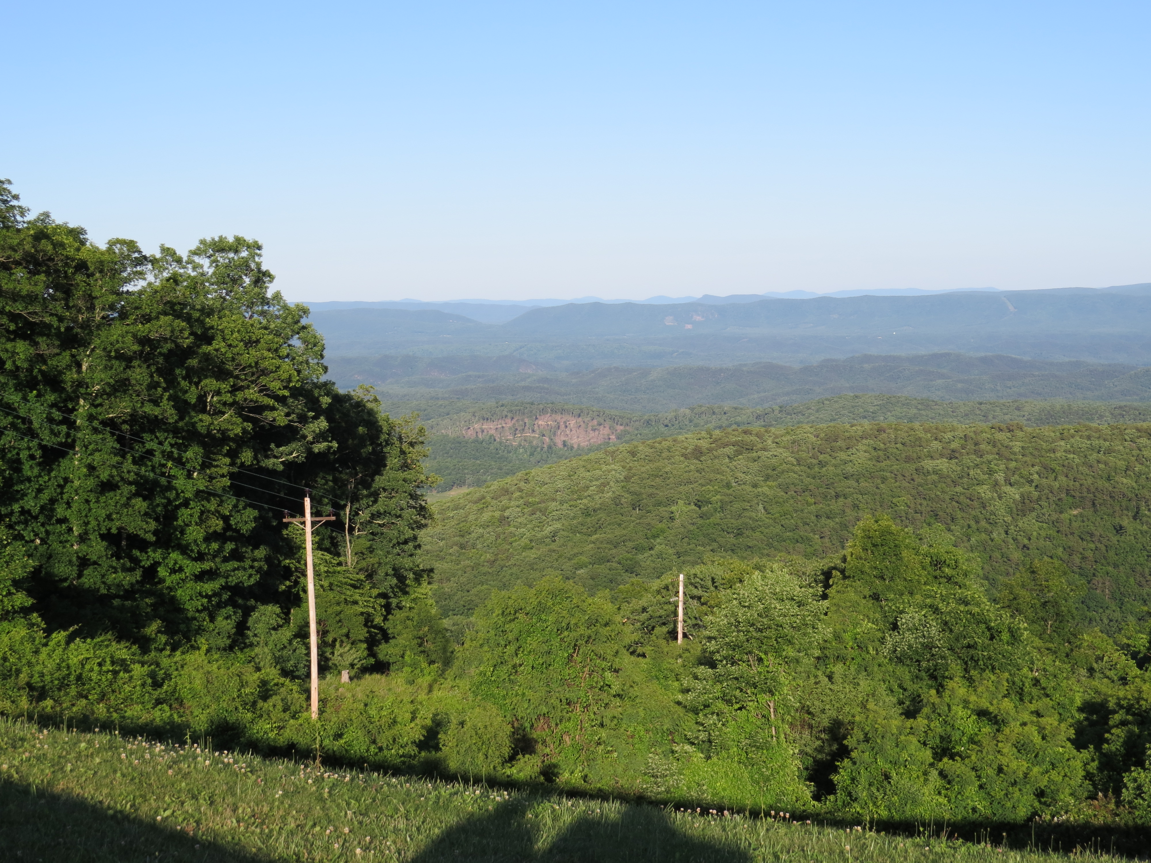
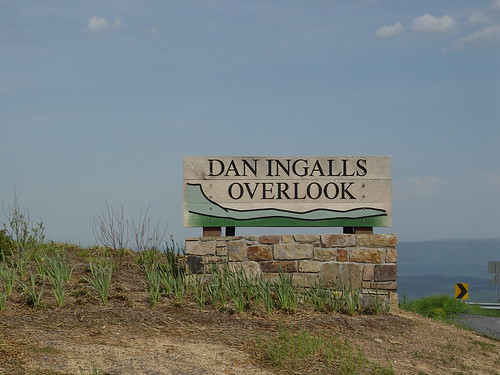
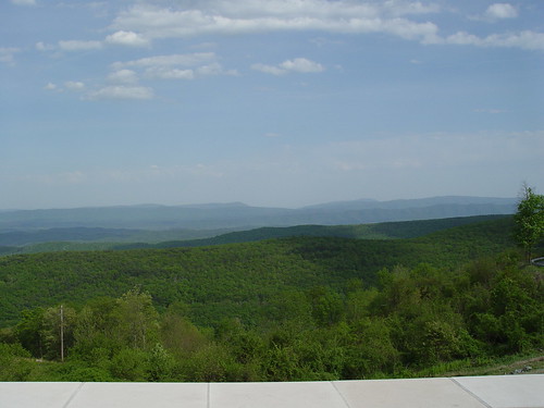
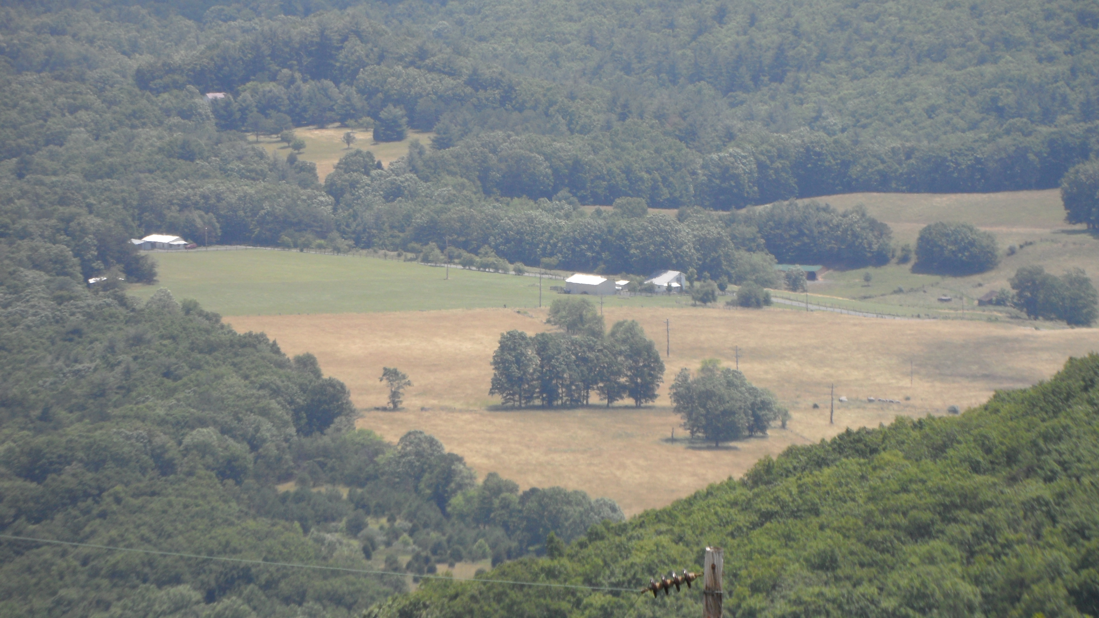
Dan Ingalls Overlook
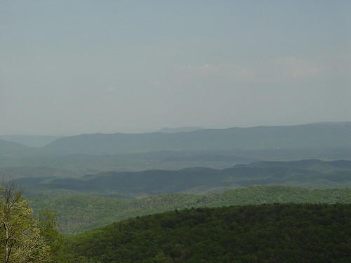
VA Overlook
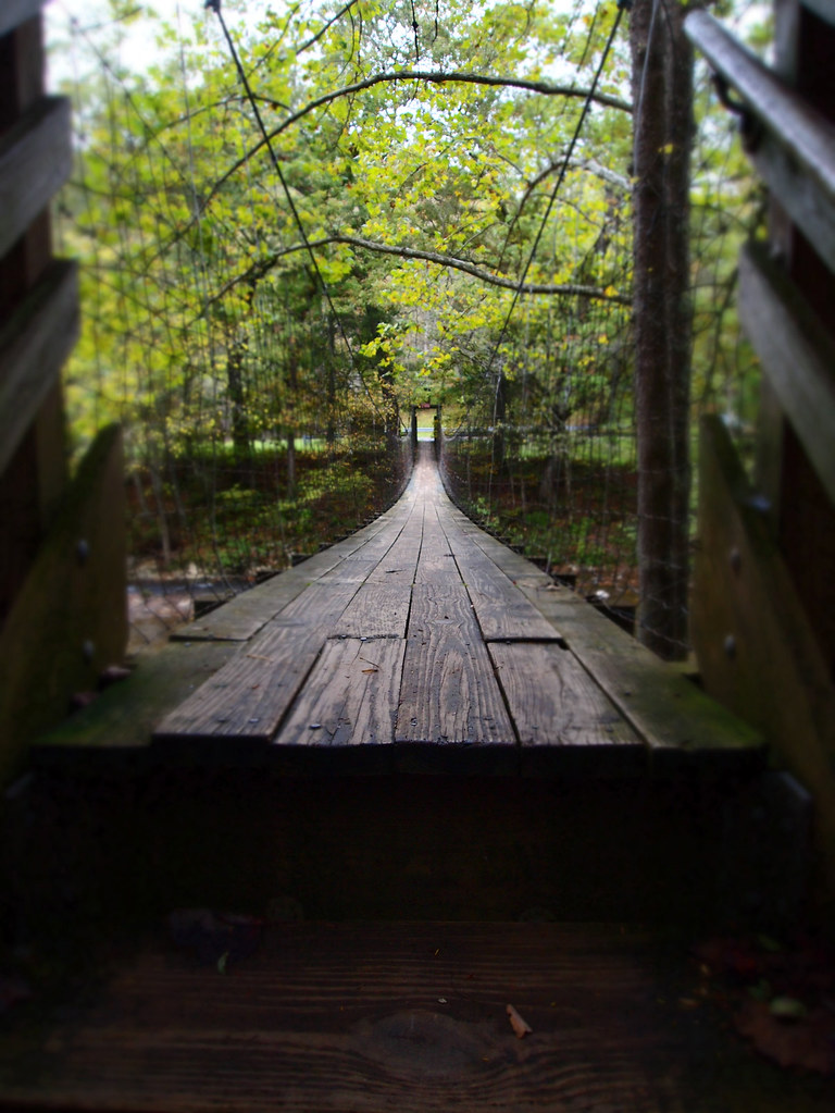
The Bullpasture River Gorge Footbridge
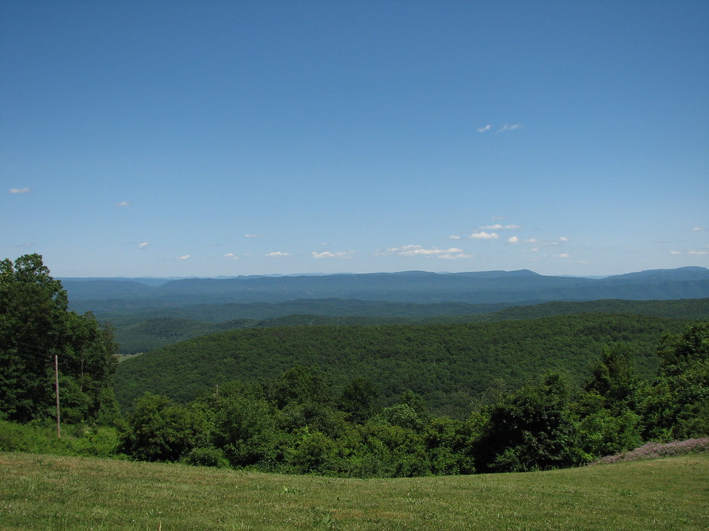
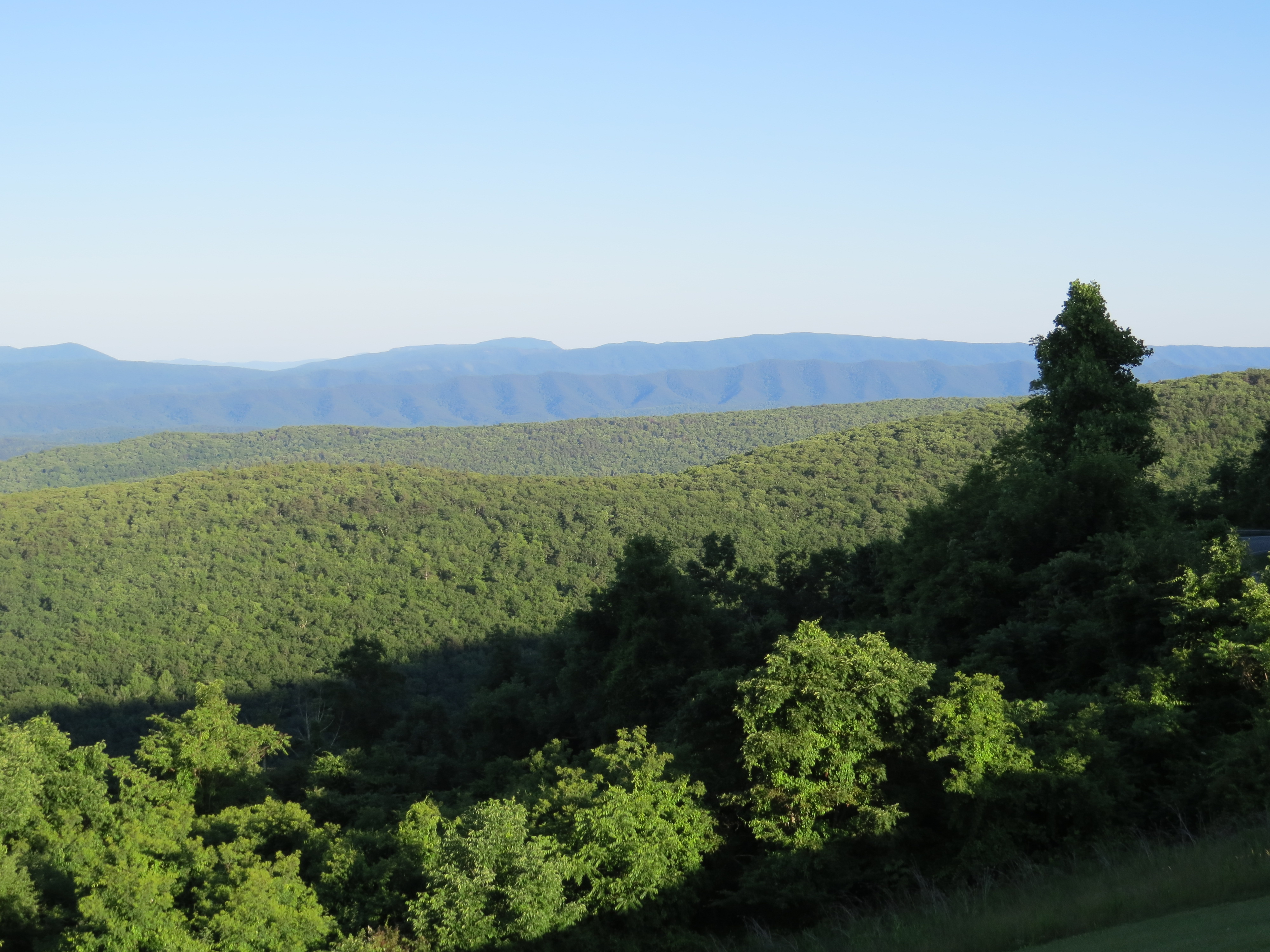
Dan Ingalls Overlook
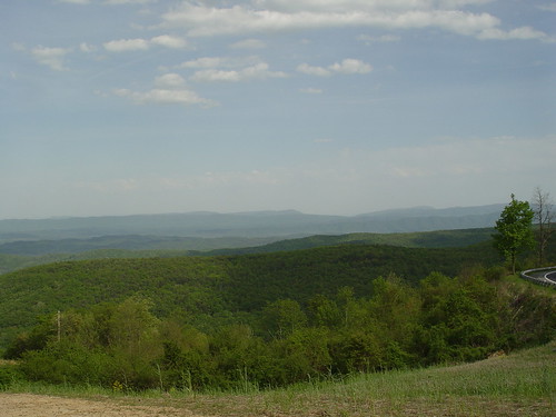
Dan Ingalls Overlook
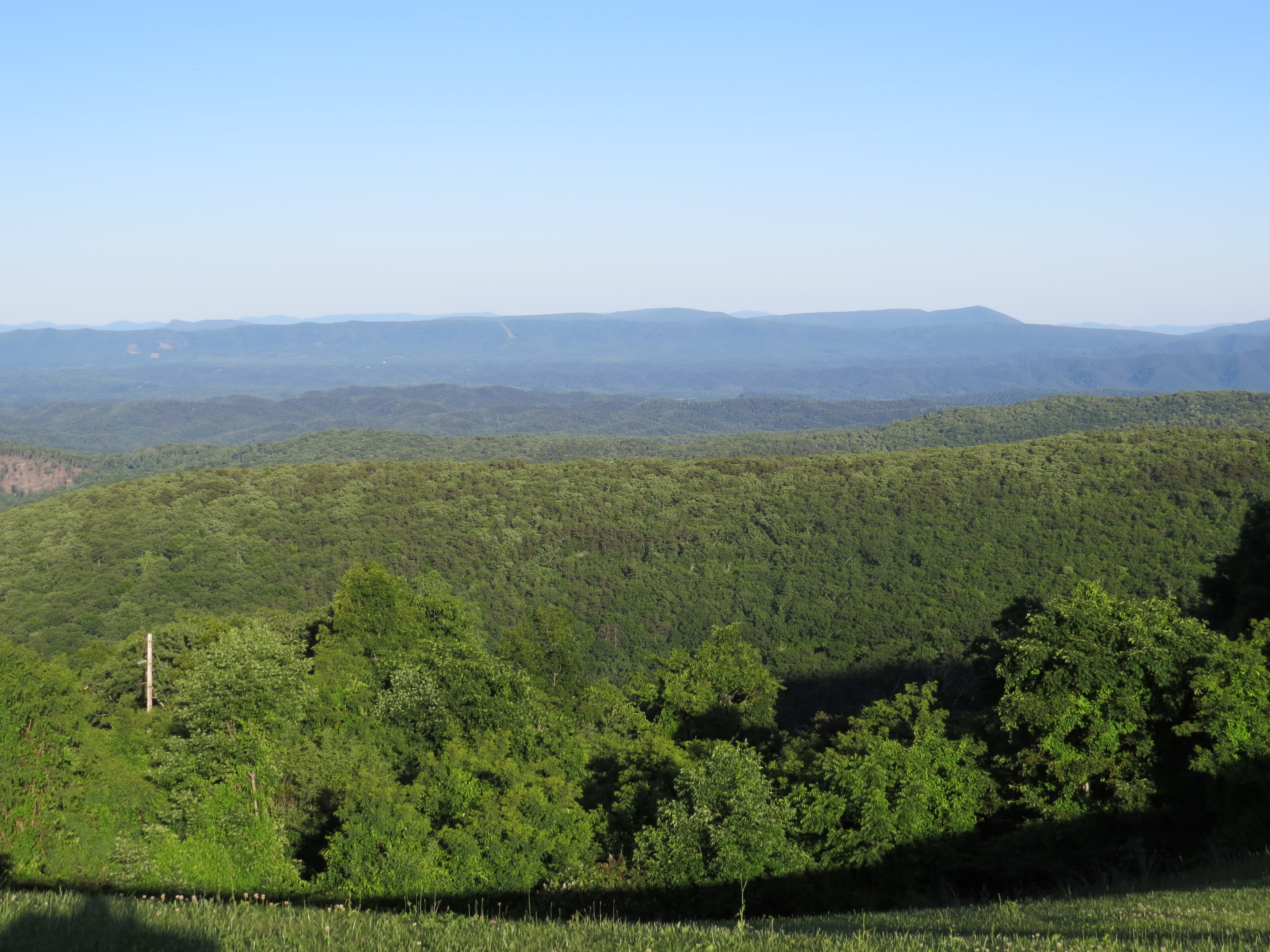
Ingall's Overlook
Ingall's Overlook
Ingall's Overlook
DAN INGALLS OVERLOOK

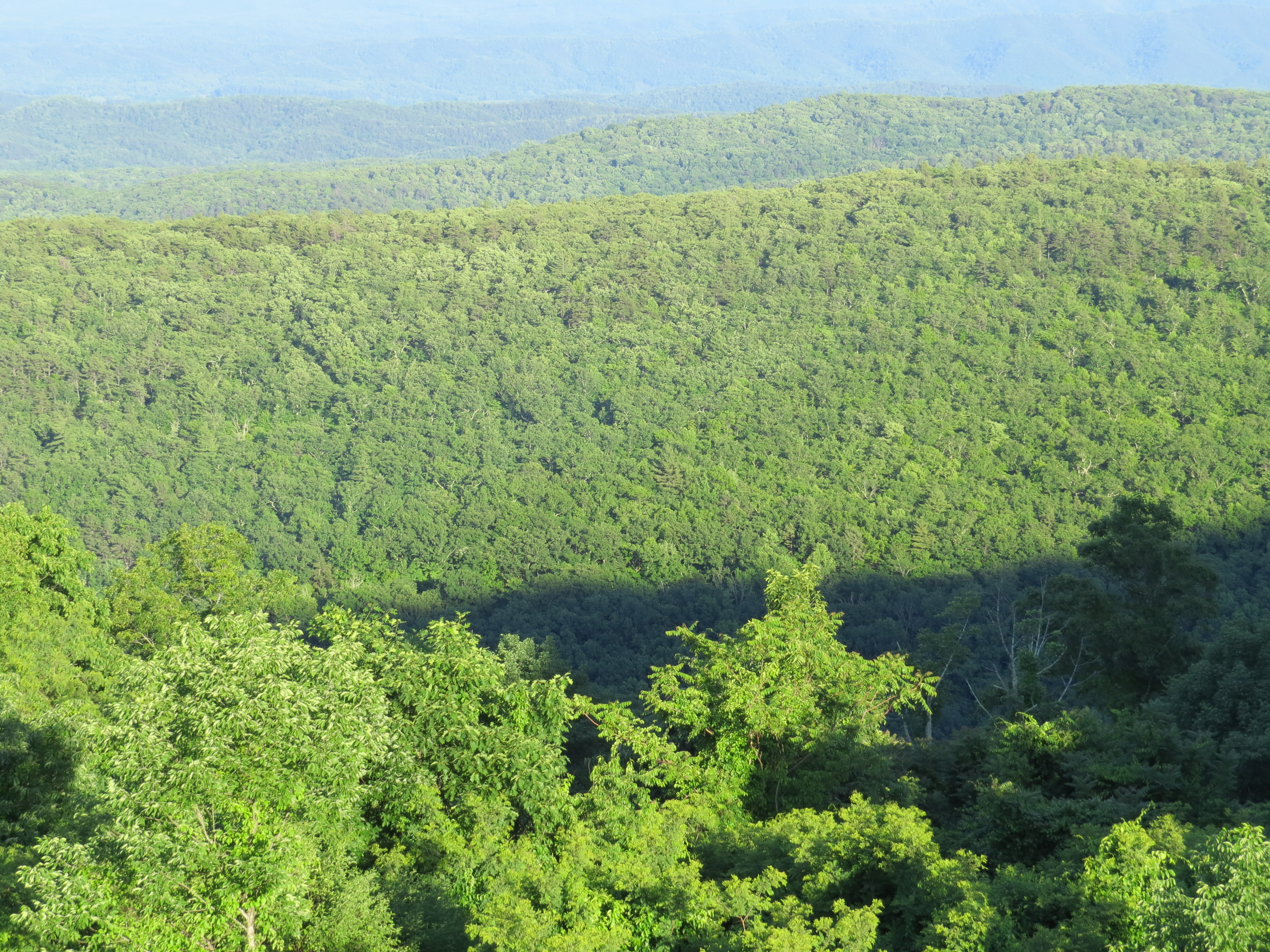
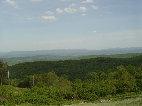
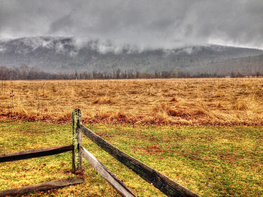
Virginia Mountains
Ingall's Overlook
Dan Ingalls Overlook
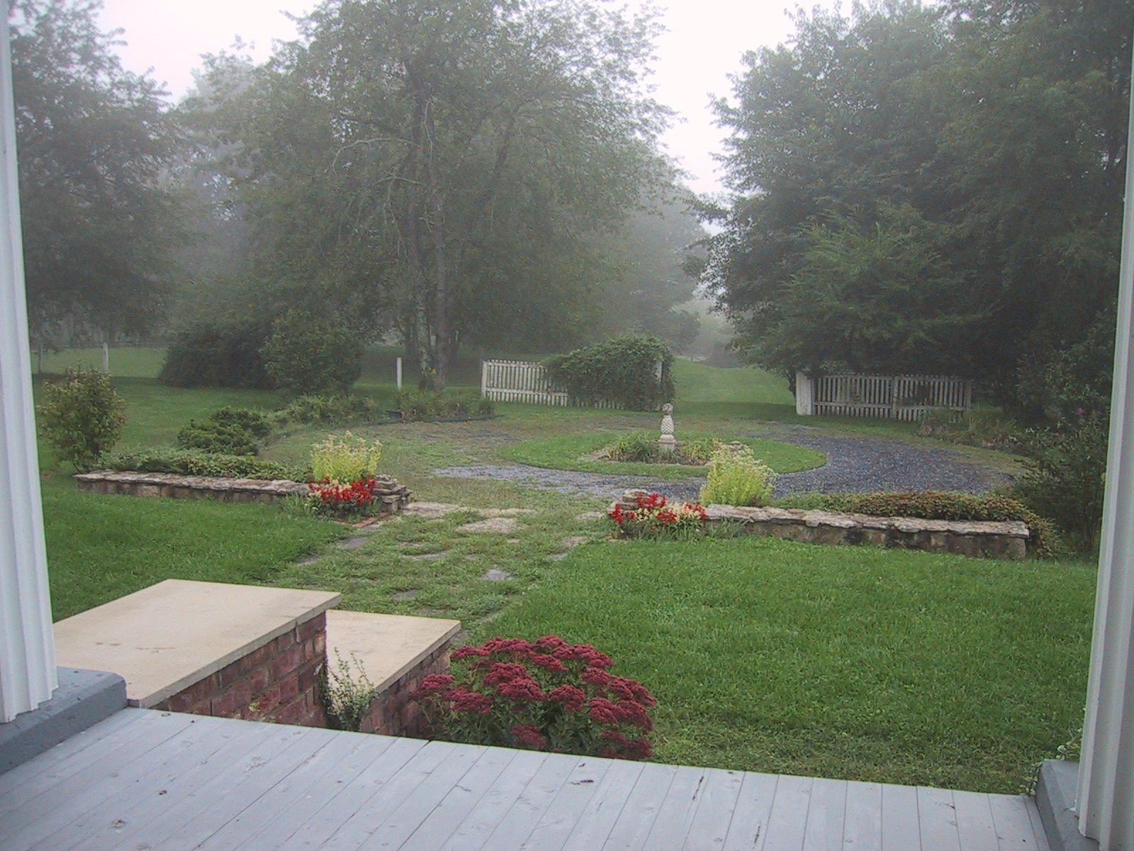
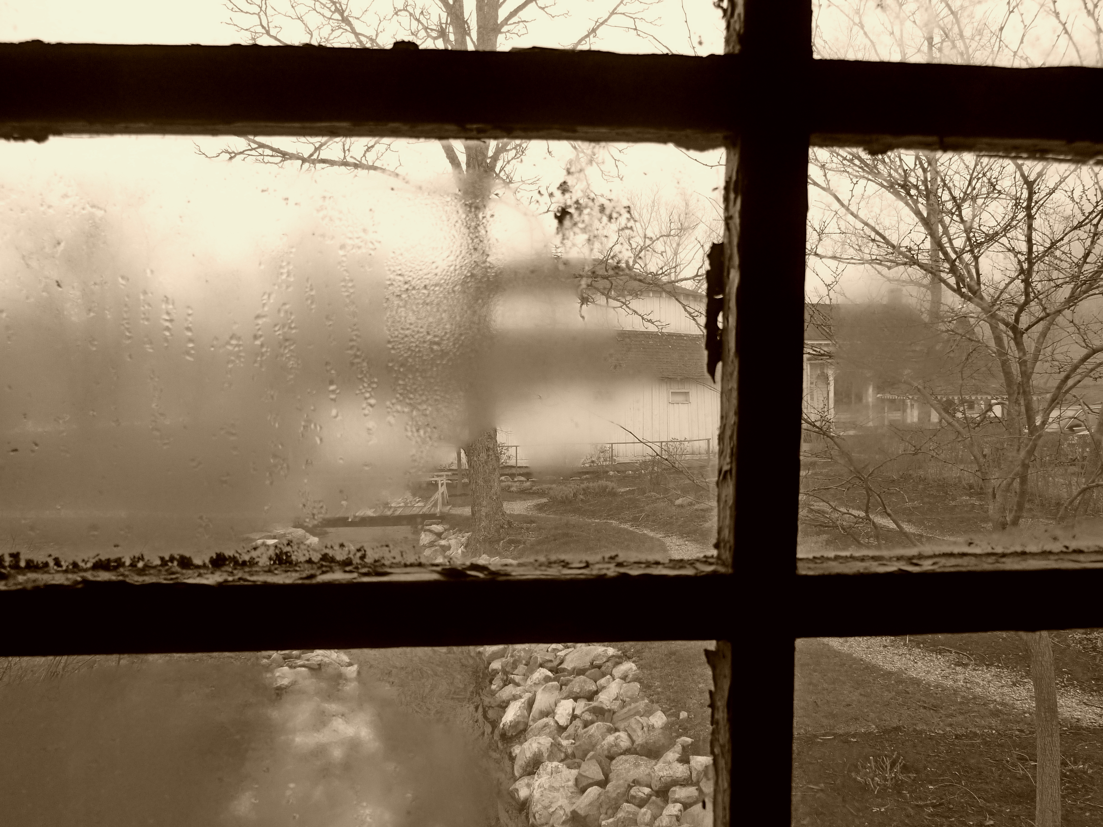
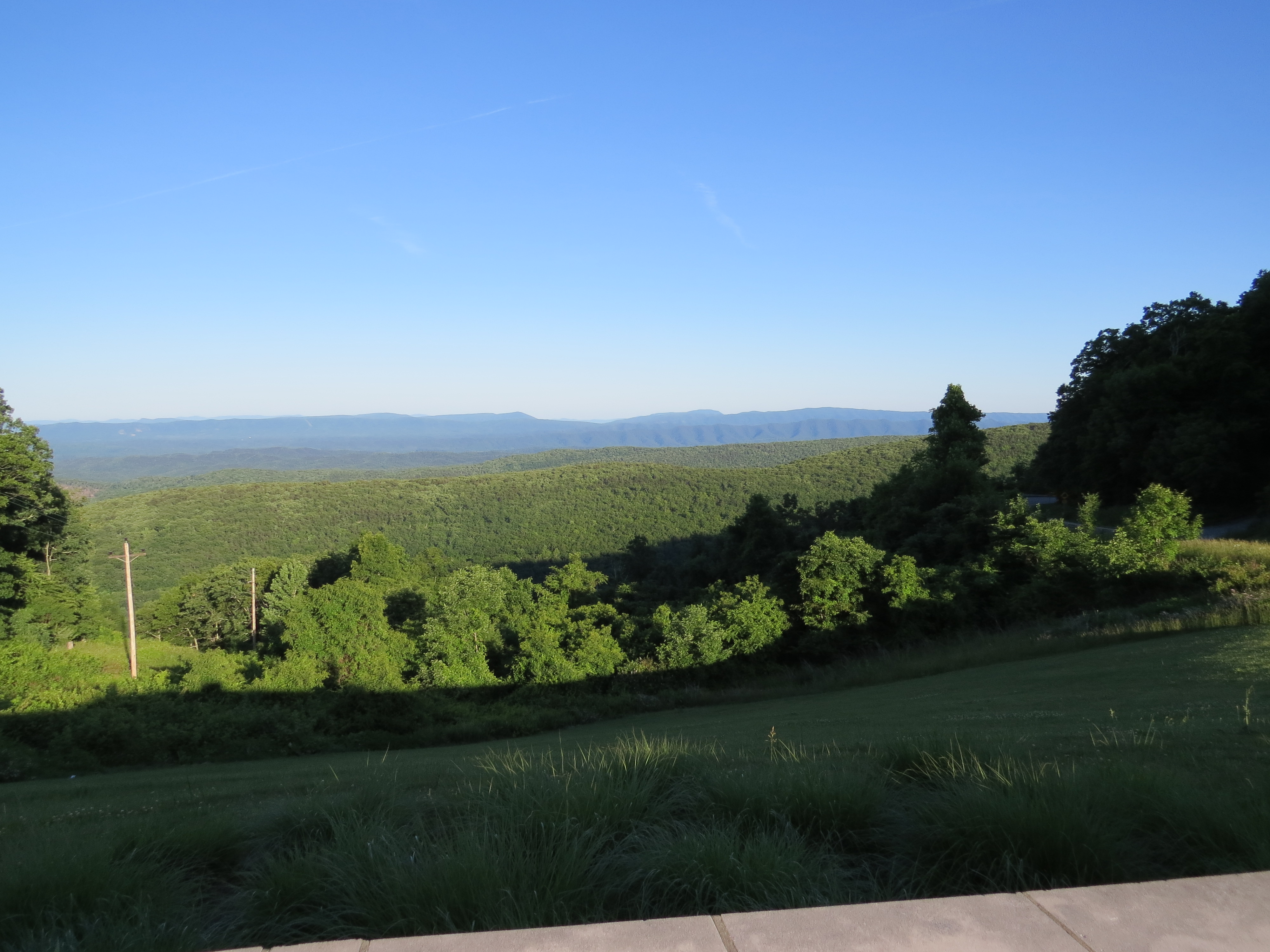
View from the Porch
Dan Ingalls Overlook
Ingall's Overlook
Hidden Valley
HM8G3969.jpg
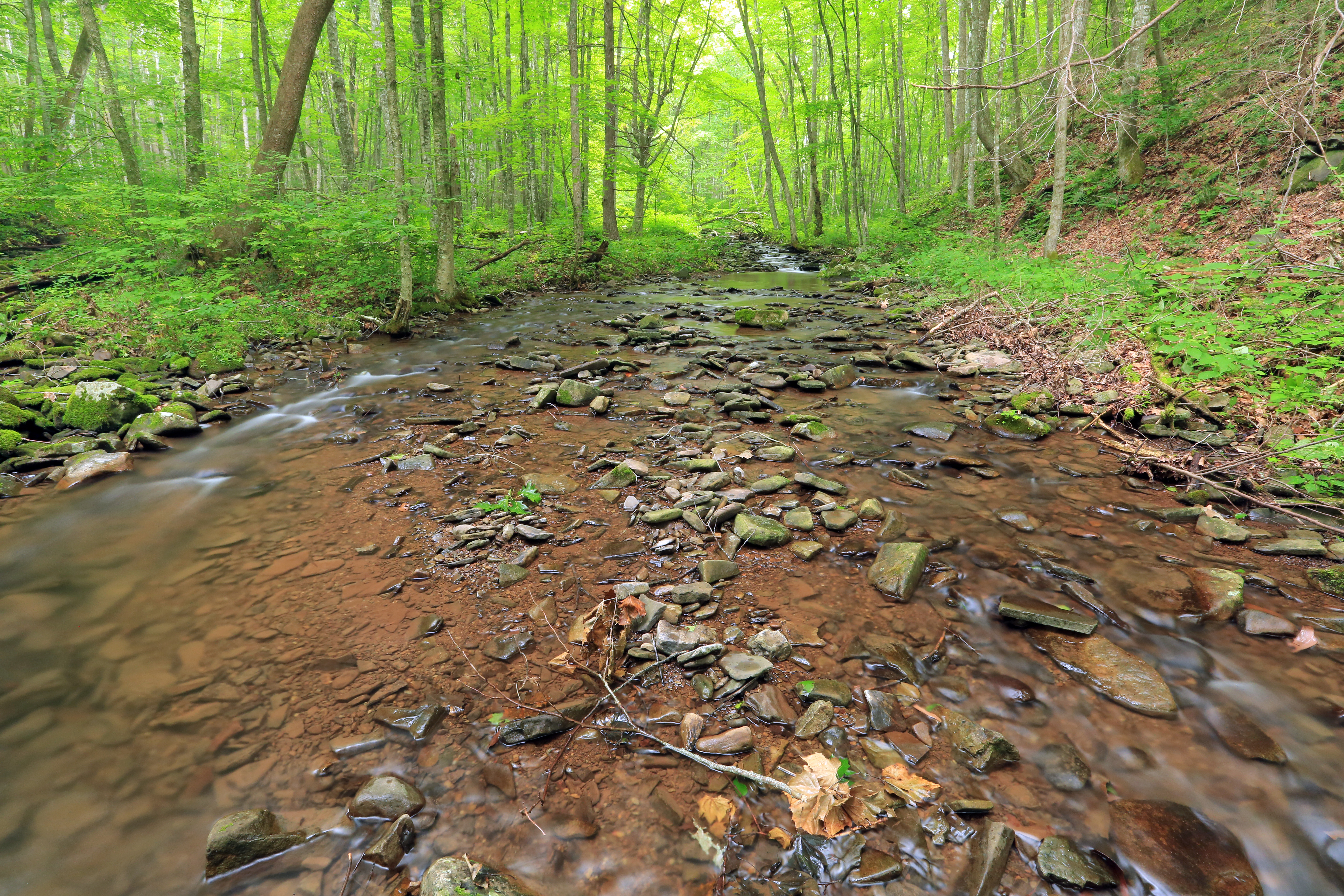
Little Back Creek, Little Mountain, George Washington National Forest, Bath County, Virginia 1
Little Back Creek, Little Mountain, George Washington National Forest, Bath County, Virginia 3
RT 39 Panorama
MountainGrove.jpg
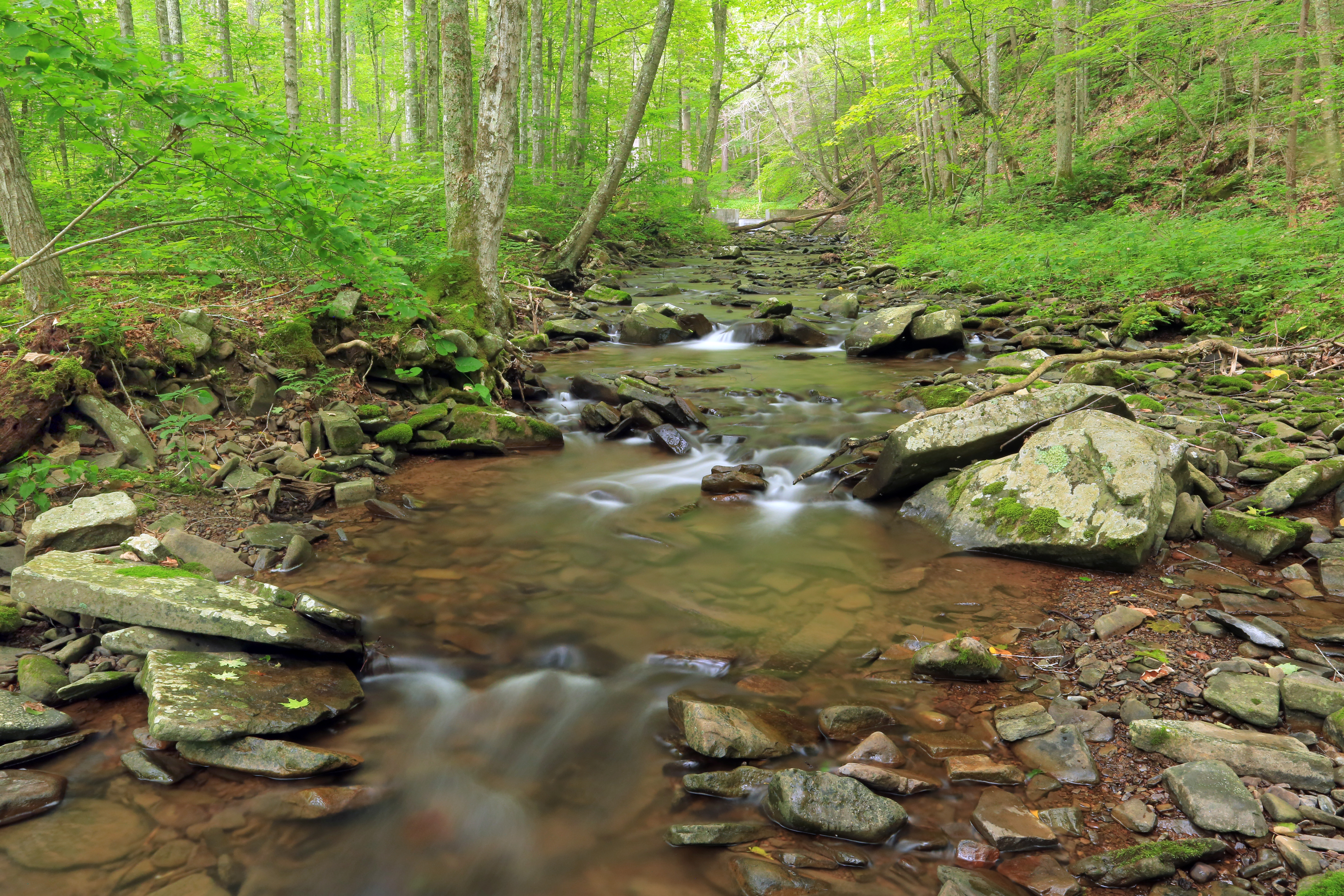
U.S. Geological Survey, Stream Gage, Little Back Creek, Little Mountain, George Washington National Forest, Bath County, Virginia 2
Back Creek, upstream of Bath County Pumped Storage Station, Bath County, Virginia 3
HM8G3961.jpg
Hwy 39 VA

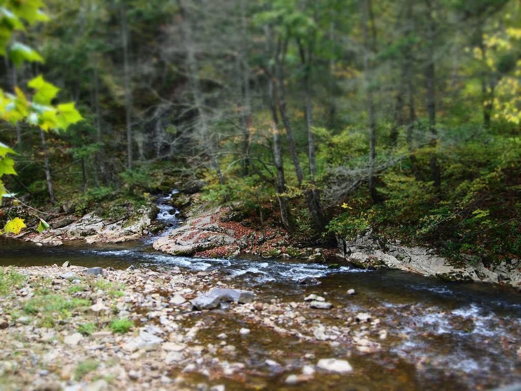
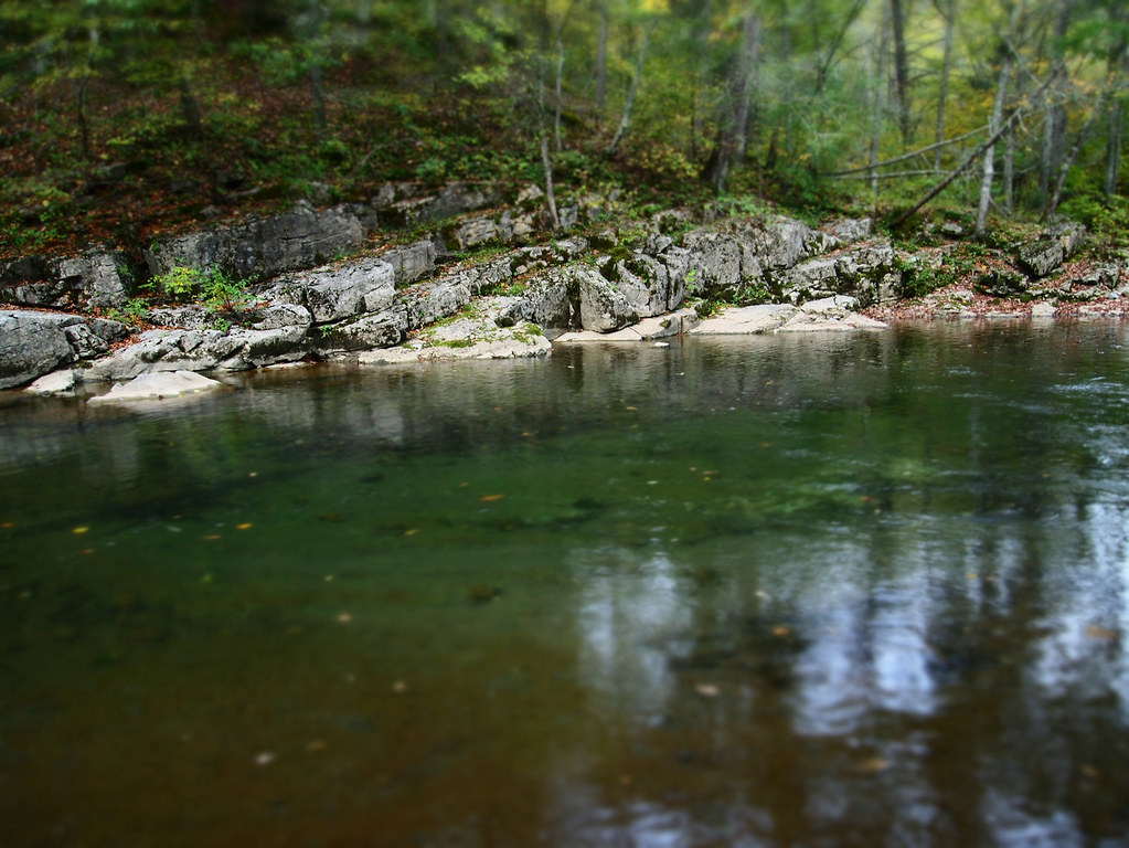
Swimming/Fishing hole
Topographic Map of Poor Farm Rd, Warm Springs, VA, USA
Find elevation by address:

Places near Poor Farm Rd, Warm Springs, VA, USA:
20857 Sam Snead Hwy
Sunrise
265 Bear Rock Ridge Rd
4281 Ccc Rd
Big Back Creek Road
124 Whispering Pine Rd
8422 Big Valley Rd
Dry Run Rd, Williamsville, VA, USA
Burnsville
Hidden Valley Campground
2700 Westminster Rd
Bath County
12968 Sam Snead Hwy
Dan Ingalls Overlook
Dan Ingalls Overlook
Warm Springs Inn
Warm Springs
Jefferson Pools
Dinwiddie Trail
10061 Mill Gap Rd
Recent Searches:
- Elevation of Tenjo, Cundinamarca, Colombia
- Elevation of Côte-des-Neiges, Montreal, QC H4A 3J6, Canada
- Elevation of Bobcat Dr, Helena, MT, USA
- Elevation of Zu den Ihlowbergen, Althüttendorf, Germany
- Elevation of Badaber, Peshawar, Khyber Pakhtunkhwa, Pakistan
- Elevation of SE Heron Loop, Lincoln City, OR, USA
- Elevation of Slanický ostrov, 01 Námestovo, Slovakia
- Elevation of Spaceport America, Co Rd A, Truth or Consequences, NM, USA
- Elevation of Warwick, RI, USA
- Elevation of Fern Rd, Whitmore, CA, USA