Elevation of Pittsylvania County, VA, USA
Location: United States > Virginia >
Longitude: -79.470388
Latitude: 36.7440186
Elevation: 253m / 830feet
Barometric Pressure: 98KPa
Elevation Map:
Satellite Map:
Related Photos:

View from my window
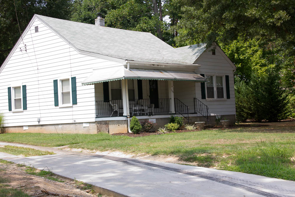
Danville-Johnson House
Danville House
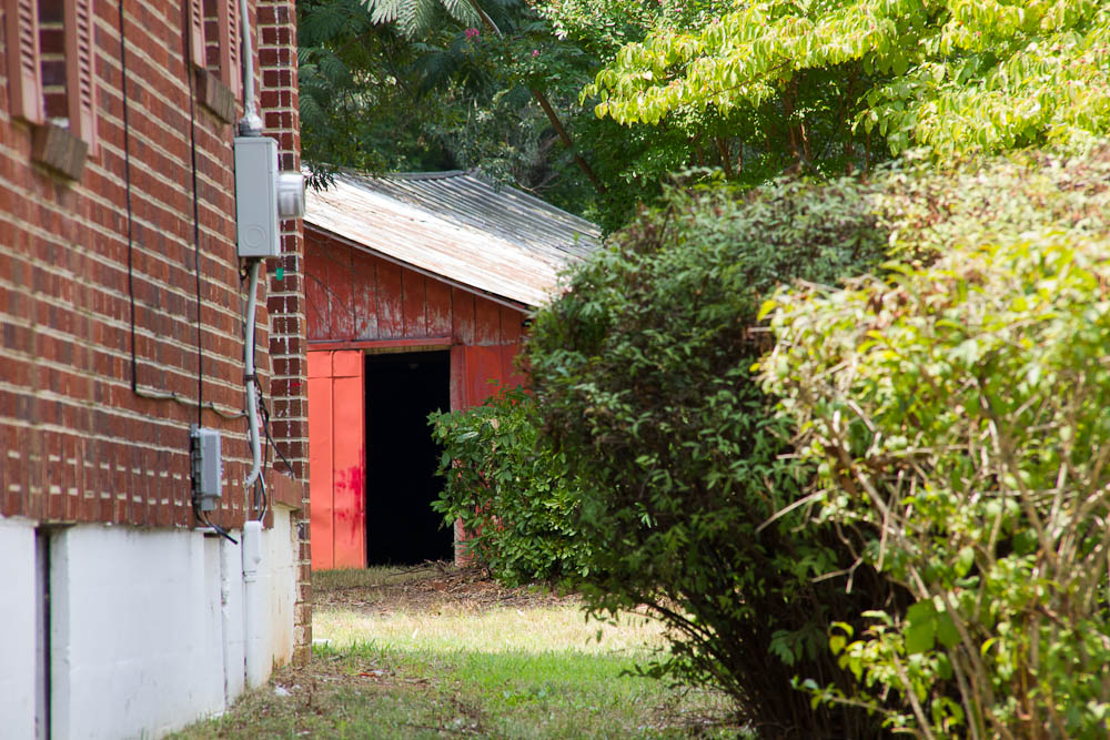
Danville House

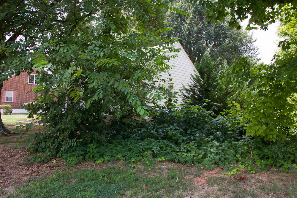
Danville House

Ashley's view from the Demo Derby last night.
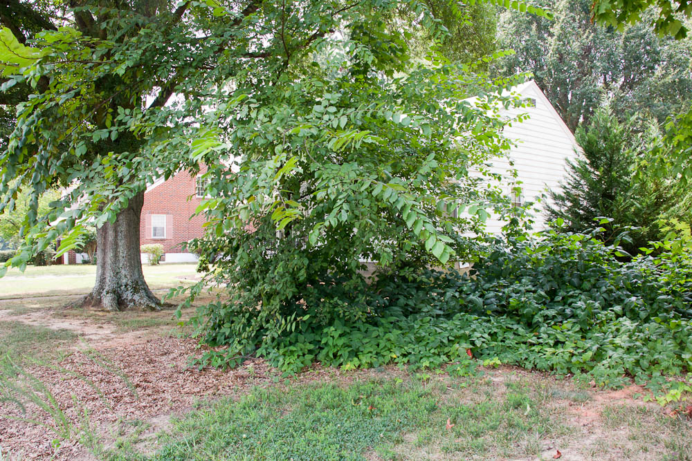
Danville House
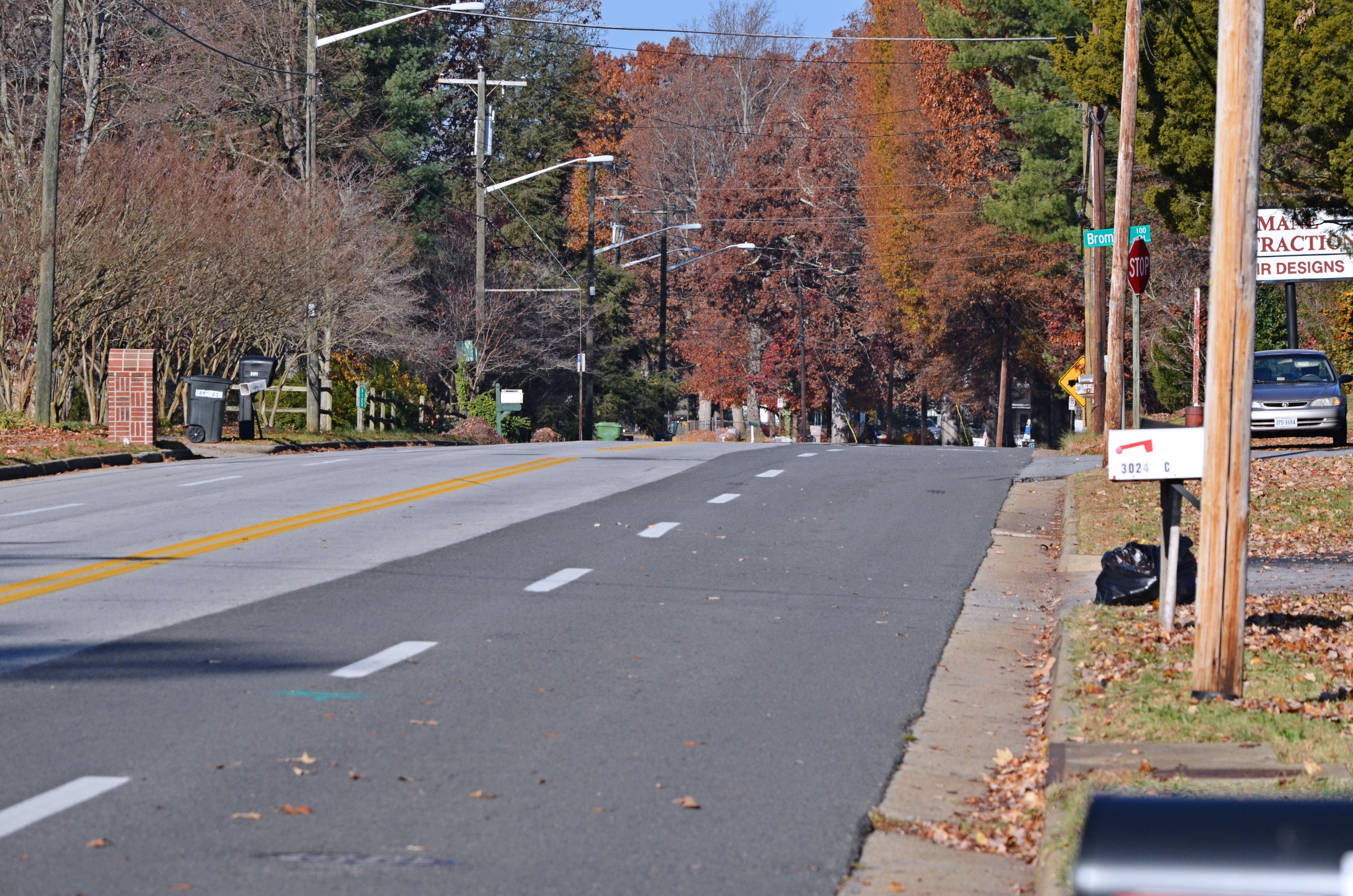
2012-11-21 (2) Westover Drive - a view looking west

IMG_3343.CR2

My favorite tree <3

Vesper Sparrow 01

RI038919.JPG
Lazy Days on the Farm

Moo Mooooo
Topographic Map of Pittsylvania County, VA, USA
Find elevation by address:

Places in Pittsylvania County, VA, USA:
Callands-gretna
Tunstall
Chatham-blairs
Staunton River
Westover
Callands-gretna
Banister
Dan River
Callands-gretna
Callands-gretna
Callands-gretna
Callands-gretna
Callands-gretna
Callands-gretna
Callands-gretna
Callands-gretna
Callands-gretna
Blairs
E Gretna Rd, Gretna, VA, USA
Cedar Rd, Ringgold, VA, USA
Places near Pittsylvania County, VA, USA:
Jones Mill Rd, Chatham, VA, USA
4664 Irish Rd
Weal Rd, Chatham, VA, USA
240 Elm Rd
10780 Callands Rd
Maple Rd, Callands, VA, USA
Callands
Callands-gretna
Callands-gretna
Callands-gretna
Callands-gretna
Callands-gretna
Callands-gretna
Callands-gretna
Callands-gretna
Callands-gretna
Callands-gretna
Callands-gretna
153 Wynell Dr
233 Gordon Rd
Recent Searches:
- Elevation of Corso Fratelli Cairoli, 35, Macerata MC, Italy
- Elevation of Tallevast Rd, Sarasota, FL, USA
- Elevation of 4th St E, Sonoma, CA, USA
- Elevation of Black Hollow Rd, Pennsdale, PA, USA
- Elevation of Oakland Ave, Williamsport, PA, USA
- Elevation of Pedrógão Grande, Portugal
- Elevation of Klee Dr, Martinsburg, WV, USA
- Elevation of Via Roma, Pieranica CR, Italy
- Elevation of Tavkvetili Mountain, Georgia
- Elevation of Hartfords Bluff Cir, Mt Pleasant, SC, USA