Elevation of Staunton River, VA, USA
Location: United States > Virginia > Pittsylvania County >
Longitude: -79.312754
Latitude: 37.0488995
Elevation: 214m / 702feet
Barometric Pressure: 99KPa
Elevation Map:
Satellite Map:
Related Photos:
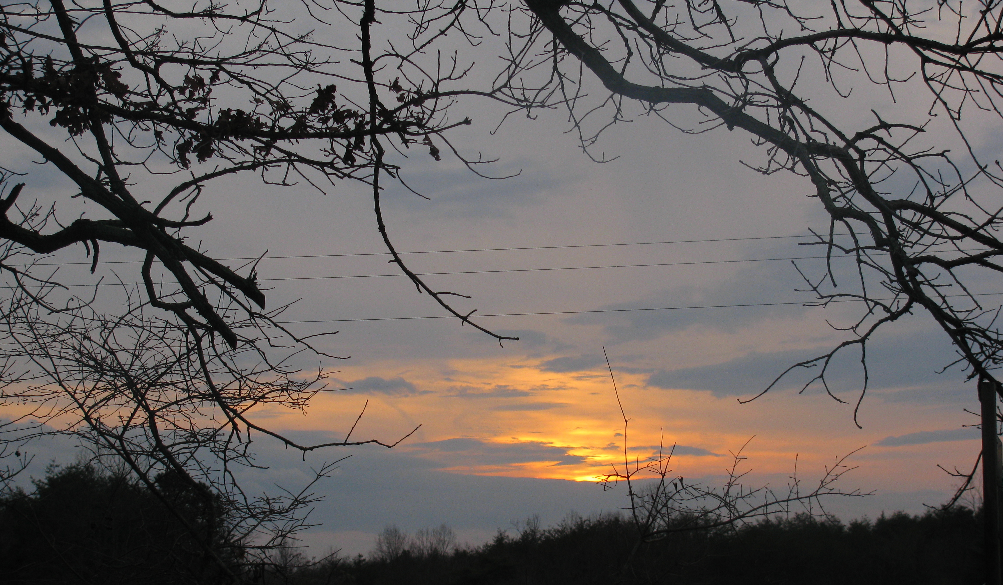
My view

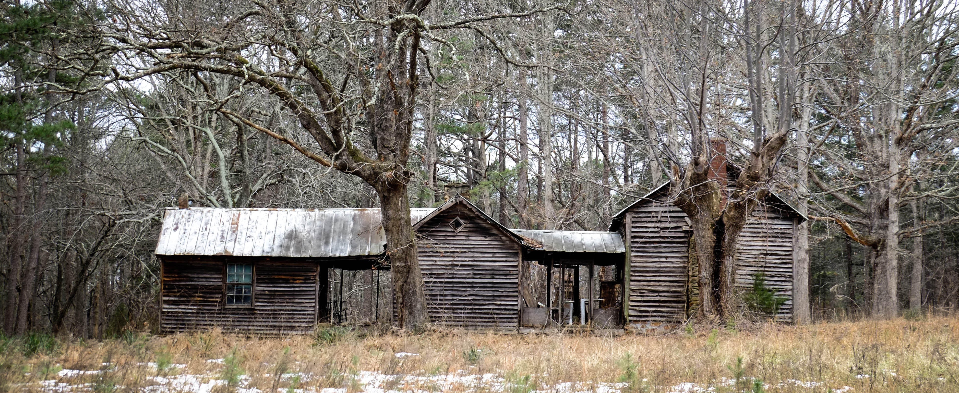
Deer View Road Barn_
Ray Mill Road Side View
From my view

DeerView Barn

Those are not happy party lights flashing in my rear view mirror. Undercover cars are sneaky.
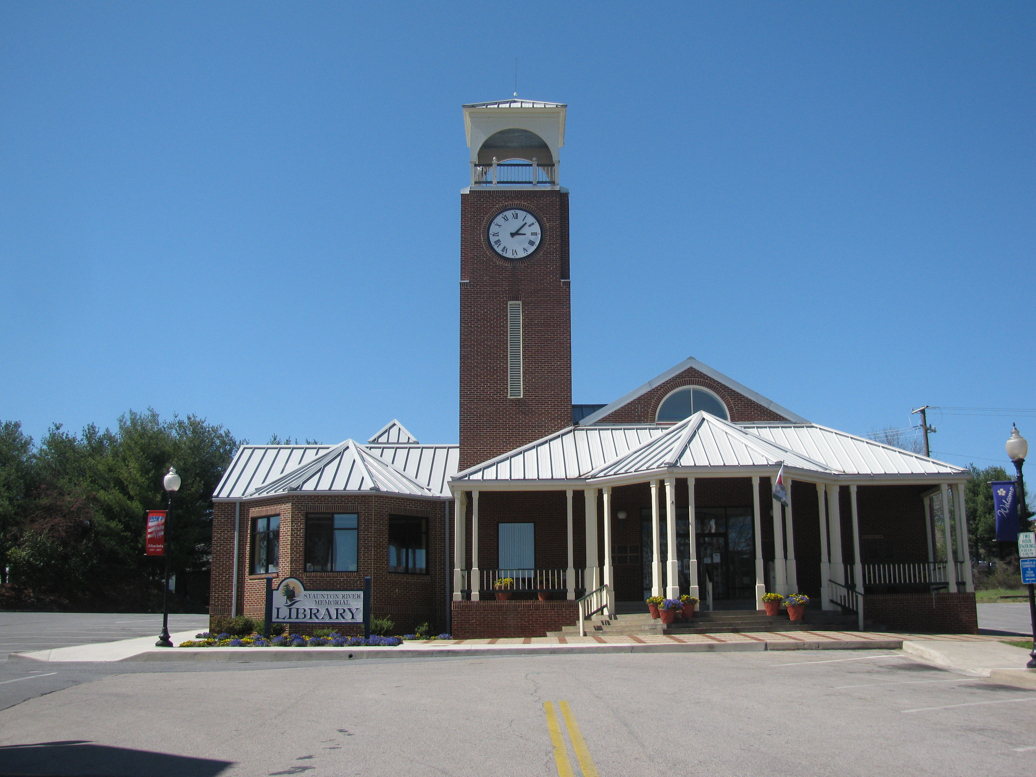
Altavista Public Library

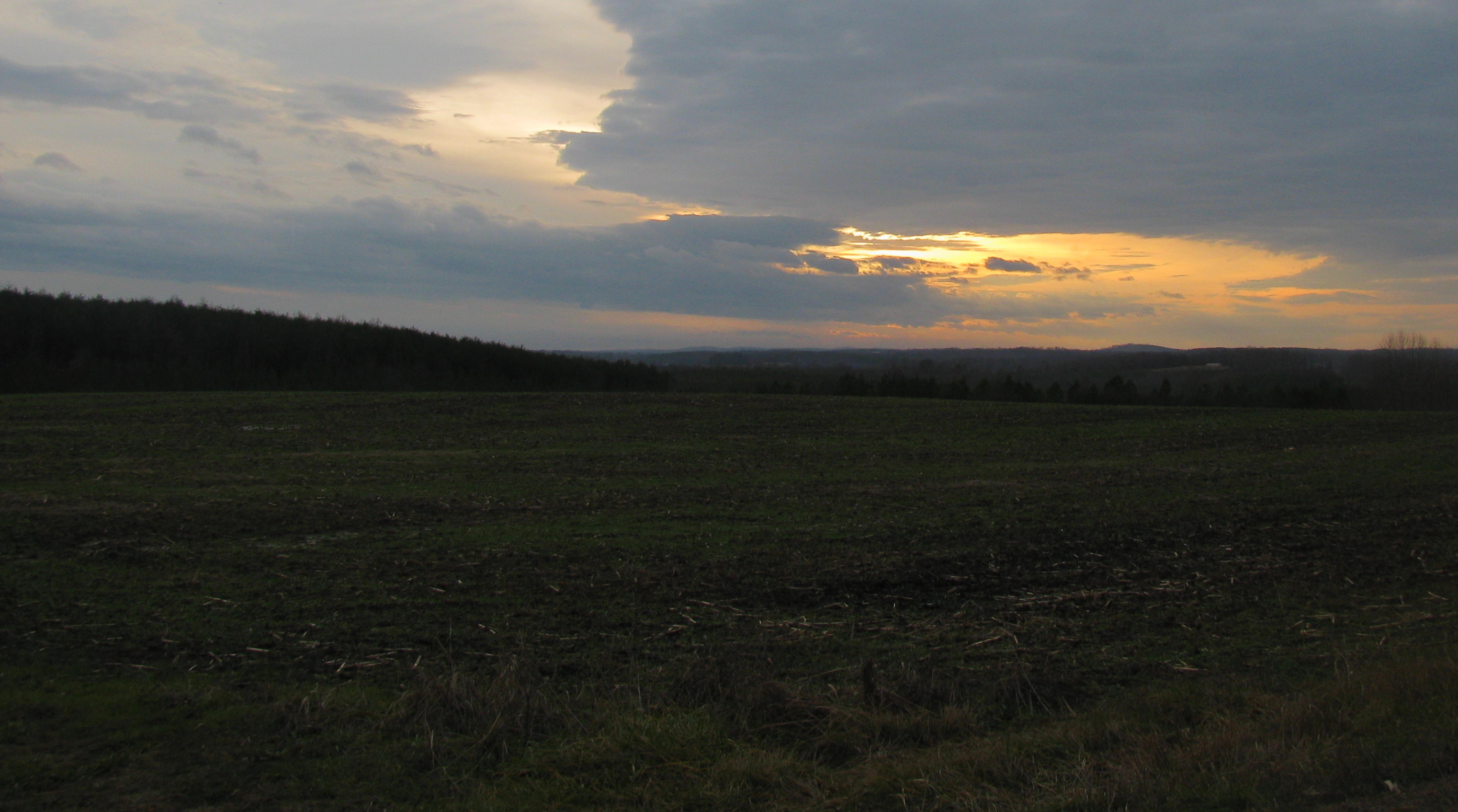
Hayline Ridge

jul04-13

lake-jun-19-10-548

2011-07-04328

lake-jun-19-10-529

lake-jun-19-10-546

2011-06-05163

lake-jun-19-10-551

jul04-85

lake-jun-19-10-547

jul04-84

IMG_2096.CR2-1

Pittsylvania Covered Bridge

lake-jun-19-10-525

lake-jul-18-10-24

lake-jun-19-10-526

lake-jun-19-10-482

lake-jun-19-10-354

IMG_2358.CR2-1

lake-jun-19-10-484
Topographic Map of Staunton River, VA, USA
Find elevation by address:

Places in Staunton River, VA, USA:
Places near Staunton River, VA, USA:
314 Dove Ln
Spring Road
Roark Mill Rd, Hurt, VA, USA
Telegraph Rd, Gretna, VA, USA
1137 Runaway Bay Rd
Gretna
Gretna
Gretna
Gretna
Gretna
Gretna
Gretna
Gretna
Gretna
Gretna
Gretna
Gretna
Robertson Rd, Hurt, VA, USA
E Gretna Rd, Gretna, VA, USA
134 Coffey St
Recent Searches:
- Elevation of Spaceport America, Co Rd A, Truth or Consequences, NM, USA
- Elevation of Warwick, RI, USA
- Elevation of Fern Rd, Whitmore, CA, USA
- Elevation of 62 Abbey St, Marshfield, MA, USA
- Elevation of Fernwood, Bradenton, FL, USA
- Elevation of Felindre, Swansea SA5 7LU, UK
- Elevation of Leyte Industrial Development Estate, Isabel, Leyte, Philippines
- Elevation of W Granada St, Tampa, FL, USA
- Elevation of Pykes Down, Ivybridge PL21 0BY, UK
- Elevation of Jalan Senandin, Lutong, Miri, Sarawak, Malaysia