Elevation of Hurt, VA, USA
Location: United States > Virginia > Pittsylvania County > Staunton River >
Longitude: -79.296412
Latitude: 37.0926426
Elevation: 225m / 738feet
Barometric Pressure: 99KPa
Elevation Map:
Satellite Map:
Related Photos:
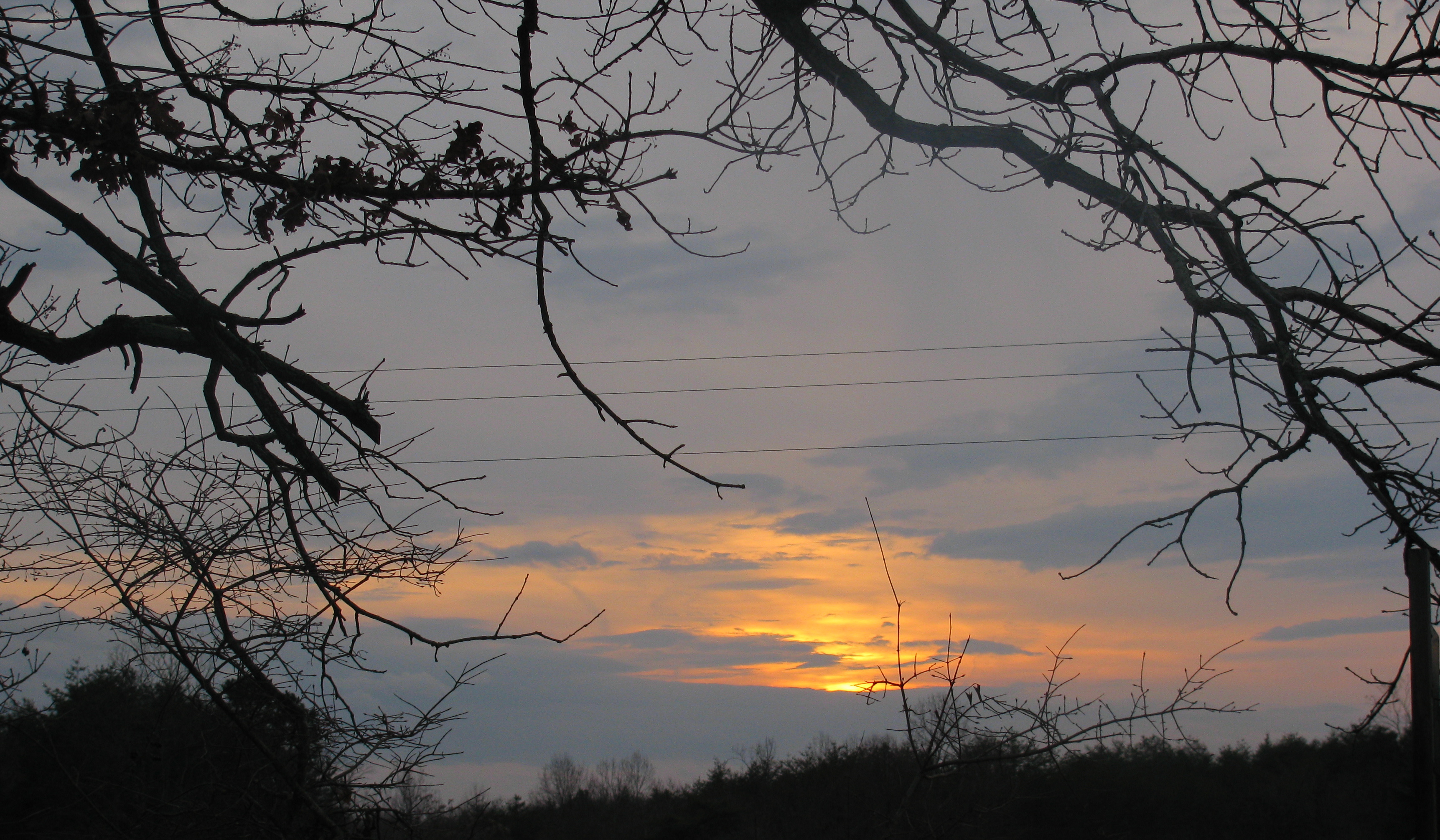
My view

Deer View Road Barn_
From my view

DeerView Barn

Those are not happy party lights flashing in my rear view mirror. Undercover cars are sneaky.

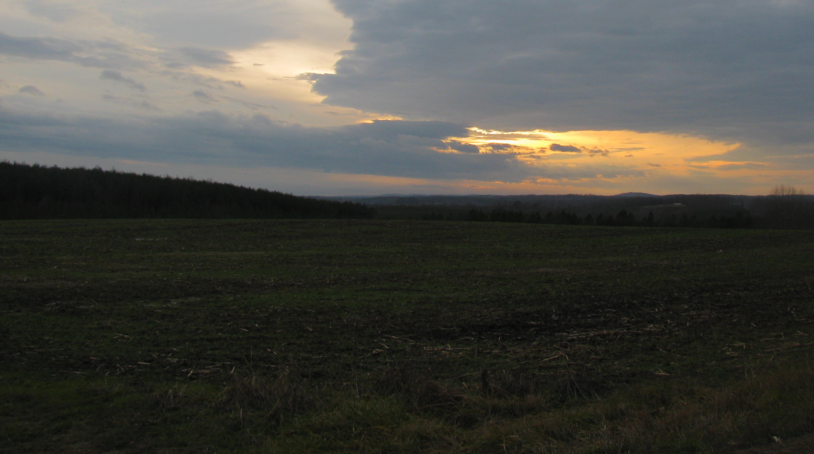
Hayline Ridge
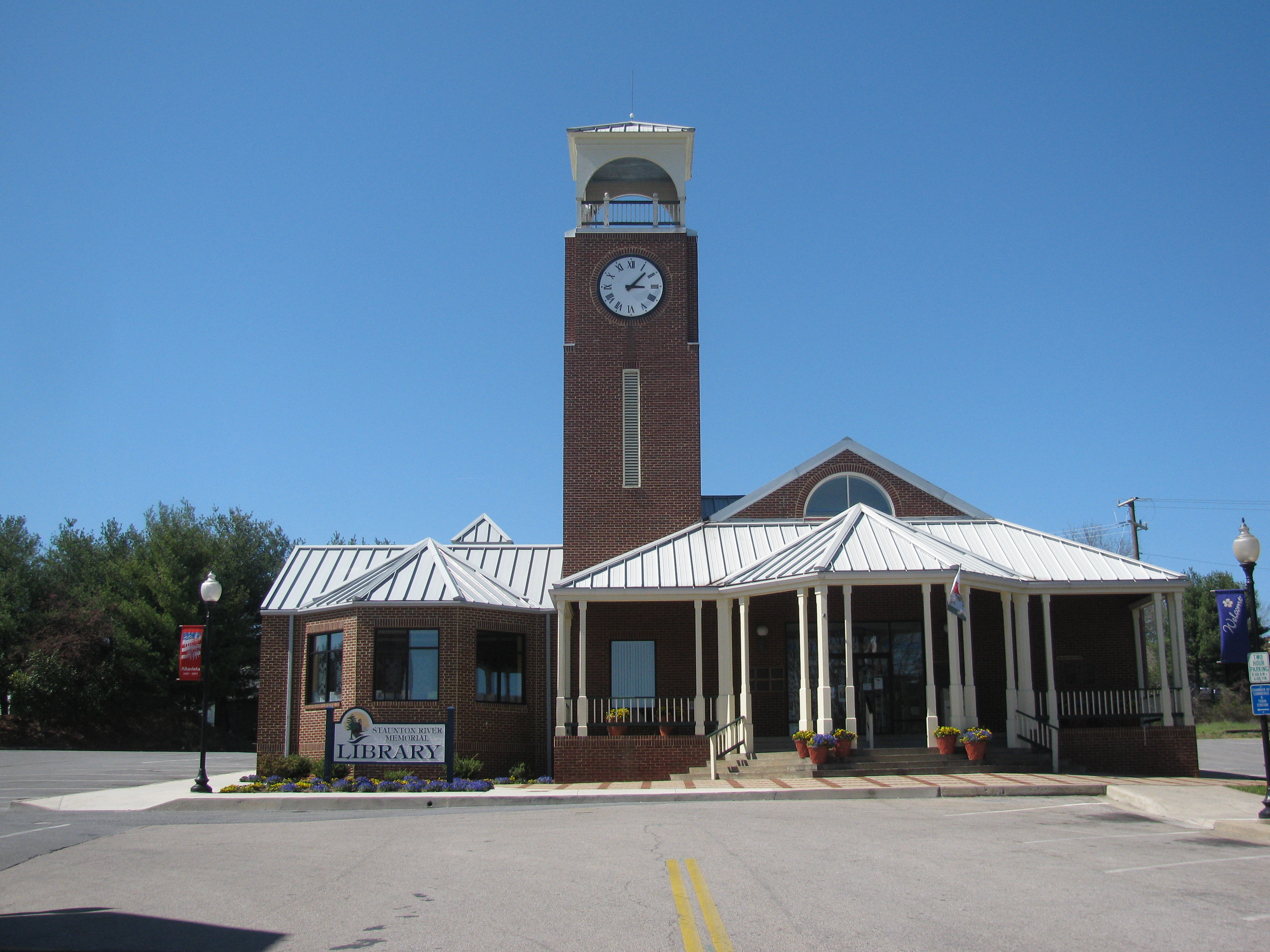
Altavista Public Library

Clear Cut View
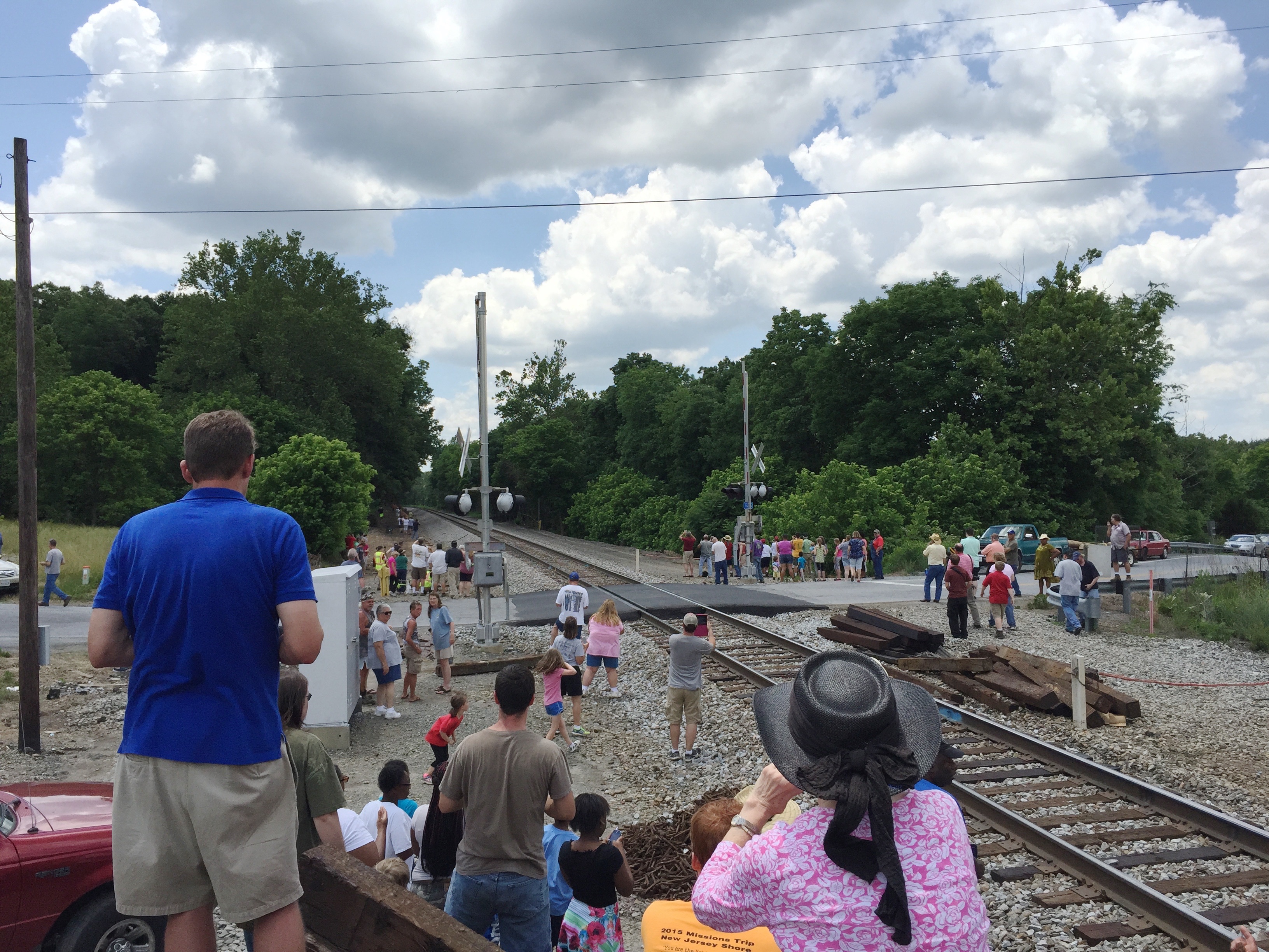
1-6 611 Steam Locomotive

jul04-13

lake-jun-19-10-548

2011-07-04328

lake-jun-19-10-529

lake-jun-19-10-546

2011-06-05163

lake-jun-19-10-551

jul04-85

lake-jun-19-10-547

jul04-84

IMG_2096.CR2-1

Pittsylvania Covered Bridge

lake-jun-19-10-525

lake-jul-18-10-24

lake-jun-19-10-526

lake-jun-19-10-482

lake-jun-19-10-354

IMG_2358.CR2-1

lake-jun-19-10-484
Topographic Map of Hurt, VA, USA
Find elevation by address:

Places in Hurt, VA, USA:
Places near Hurt, VA, USA:
3rd Street
3rd Street
3rd Street
319 Myrtle Ln
1201 Bedford Ave
Altavista
1201 Avondale Dr
1201 Avondale Dr
Frazier Road
91 Hogan Hill Ln
Lynch Station
31 Bank Rd
Altavista
Bedford Hwy, Lynch Station, VA, USA
Staunton River Farm Rd, Altavista, VA, USA
Staunton River Farm Road
809 Falkland Place Rd
165 Falkland Place Rd
Langdon Road
519 Autumn Dr
Recent Searches:
- Elevation of Elwyn Dr, Roanoke Rapids, NC, USA
- Elevation of Congressional Dr, Stevensville, MD, USA
- Elevation of Bellview Rd, McLean, VA, USA
- Elevation of Stage Island Rd, Chatham, MA, USA
- Elevation of Shibuya Scramble Crossing, 21 Udagawacho, Shibuya City, Tokyo -, Japan
- Elevation of Jadagoniai, Kaunas District Municipality, Lithuania
- Elevation of Pagonija rock, Kranto 7-oji g. 8"N, Kaunas, Lithuania
- Elevation of Co Rd 87, Jamestown, CO, USA
- Elevation of Tenjo, Cundinamarca, Colombia
- Elevation of Côte-des-Neiges, Montreal, QC H4A 3J6, Canada