Elevation of E Gretna Rd, Gretna, VA, USA
Location: United States > Virginia > Pittsylvania County >
Longitude: -79.311883
Latitude: 36.935966
Elevation: 202m / 663feet
Barometric Pressure: 99KPa
Elevation Map:
Satellite Map:
Related Photos:
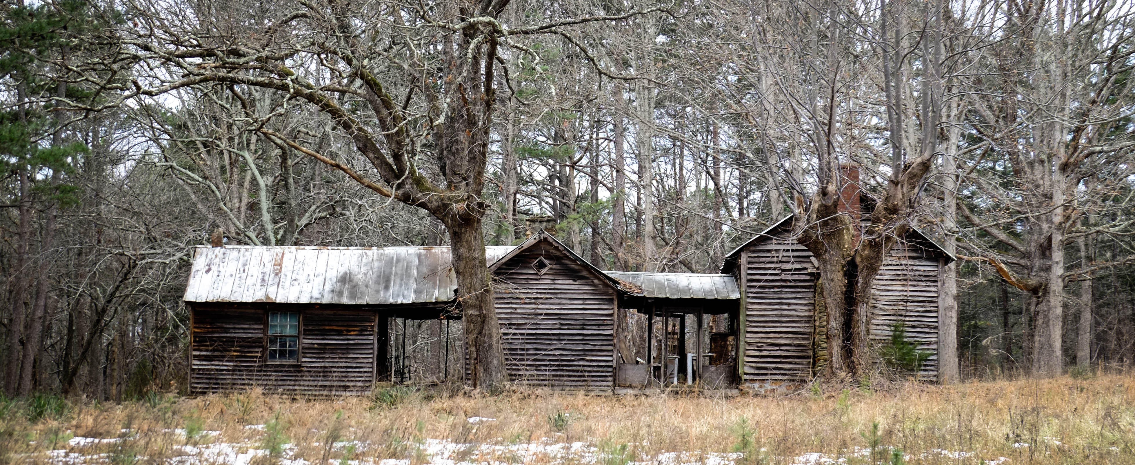
Ray Mill Road Side View

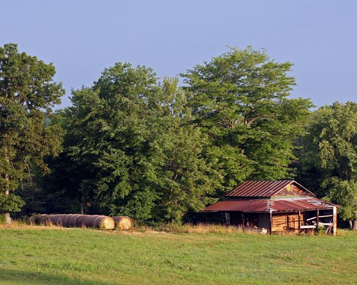
DeerView Barn

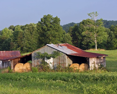
Deer View Road Barn_

Cherbury Cottage

Pittsylvania Covered Bridge
IMG_3332_edited-1
IMG_3331_edited-1
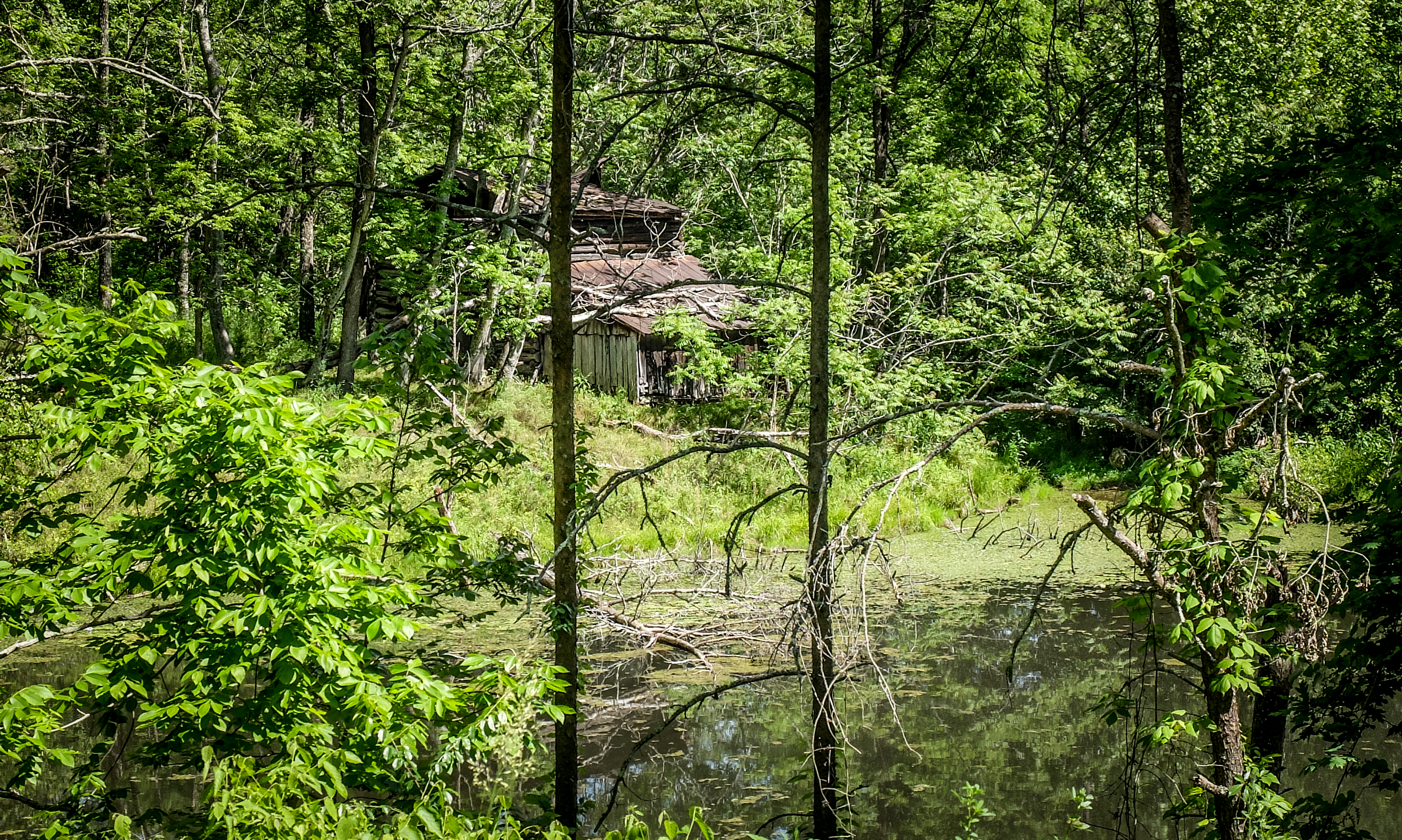
Log Barn by Pond
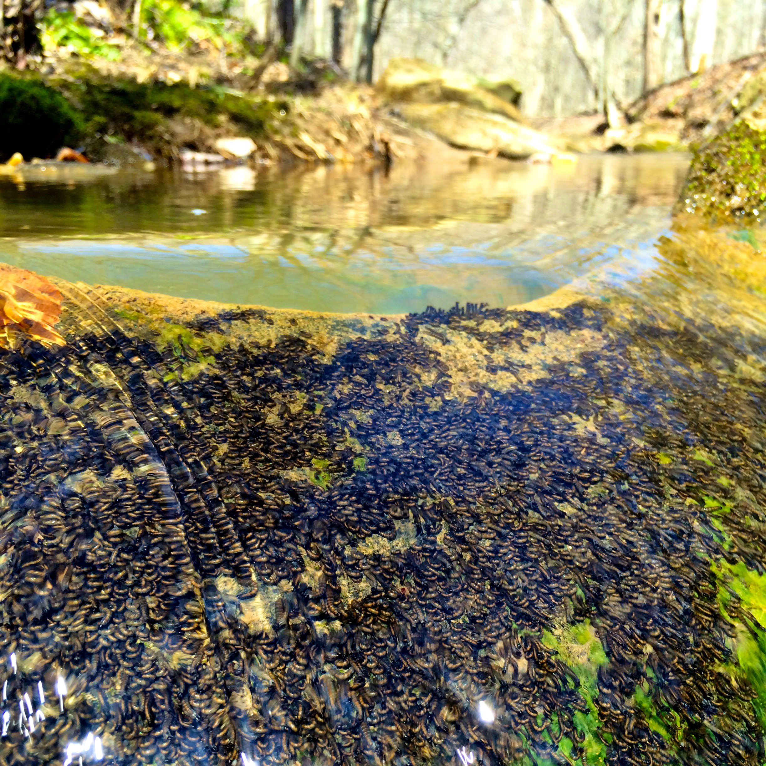
Blackfly larvae
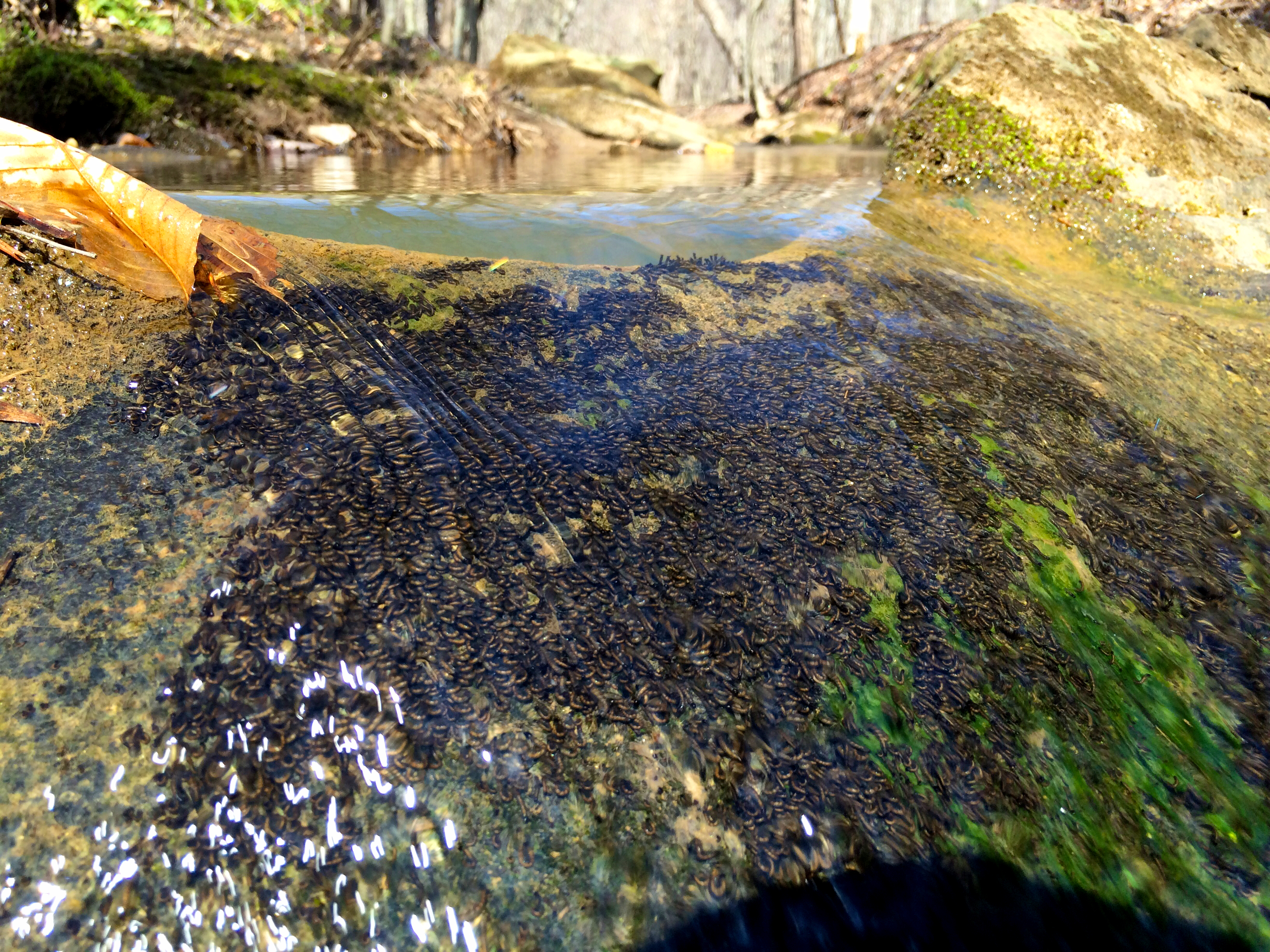
Blackfly larvae

RI038919.JPG
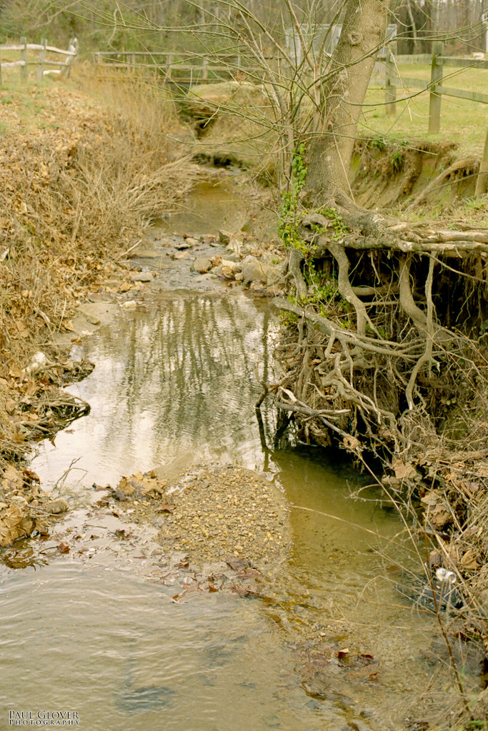
Roots in the stream
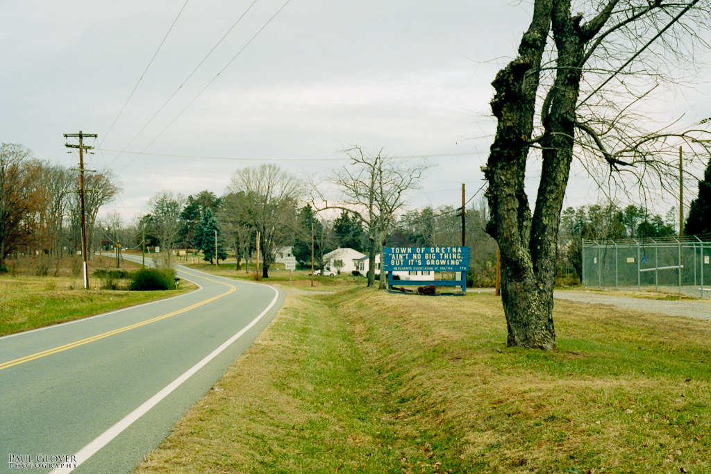
Ain't A Big Thing
Topographic Map of E Gretna Rd, Gretna, VA, USA
Find elevation by address:

Places near E Gretna Rd, Gretna, VA, USA:
Chalk Level Rd, Gretna, VA, USA
Gretna
Gretna
Gretna
Gretna
Gretna
Gretna
Gretna
Gretna
Gretna
Gretna
Gretna
Gretna
134 Coffey St
Telegraph Rd, Gretna, VA, USA
Spring Road
2988 Hickeys Rd
314 Dove Ln
Pittsville Rd, Gretna, VA, USA
Staunton River
Recent Searches:
- Elevation of Corso Fratelli Cairoli, 35, Macerata MC, Italy
- Elevation of Tallevast Rd, Sarasota, FL, USA
- Elevation of 4th St E, Sonoma, CA, USA
- Elevation of Black Hollow Rd, Pennsdale, PA, USA
- Elevation of Oakland Ave, Williamsport, PA, USA
- Elevation of Pedrógão Grande, Portugal
- Elevation of Klee Dr, Martinsburg, WV, USA
- Elevation of Via Roma, Pieranica CR, Italy
- Elevation of Tavkvetili Mountain, Georgia
- Elevation of Hartfords Bluff Cir, Mt Pleasant, SC, USA