Elevation of Giles County, VA, USA
Location: United States > Virginia >
Longitude: -80.677078
Latitude: 37.3132885
Elevation: 535m / 1755feet
Barometric Pressure: 95KPa
Elevation Map:
Satellite Map:
Related Photos:

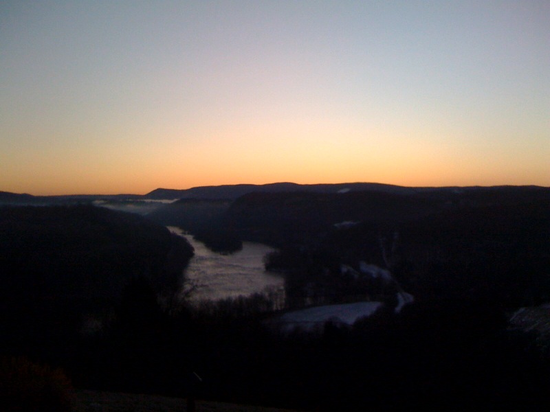
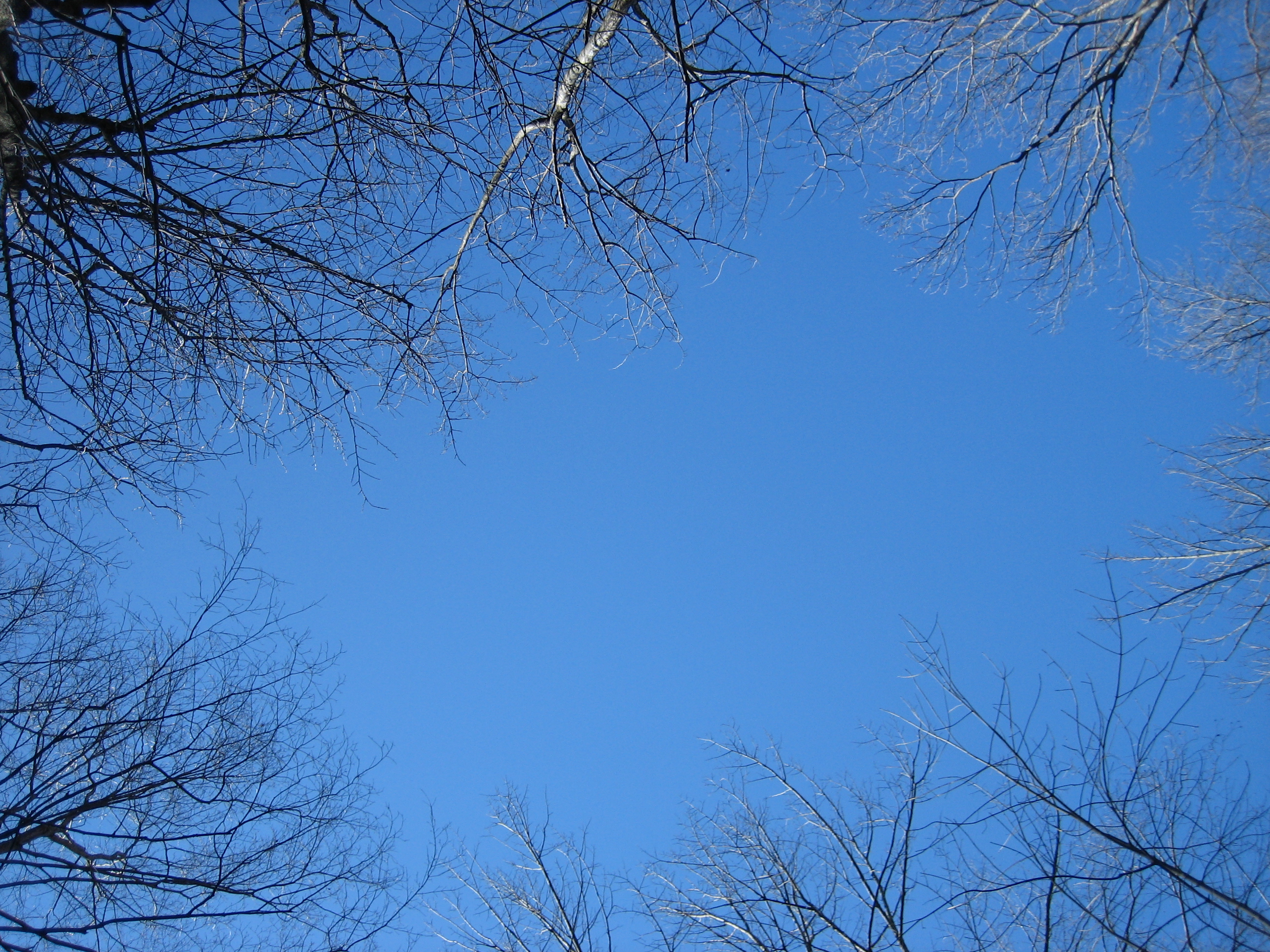
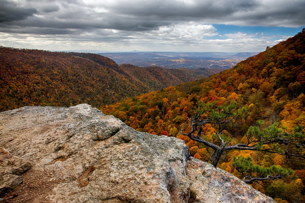
Bald Knob Sunset Overlook
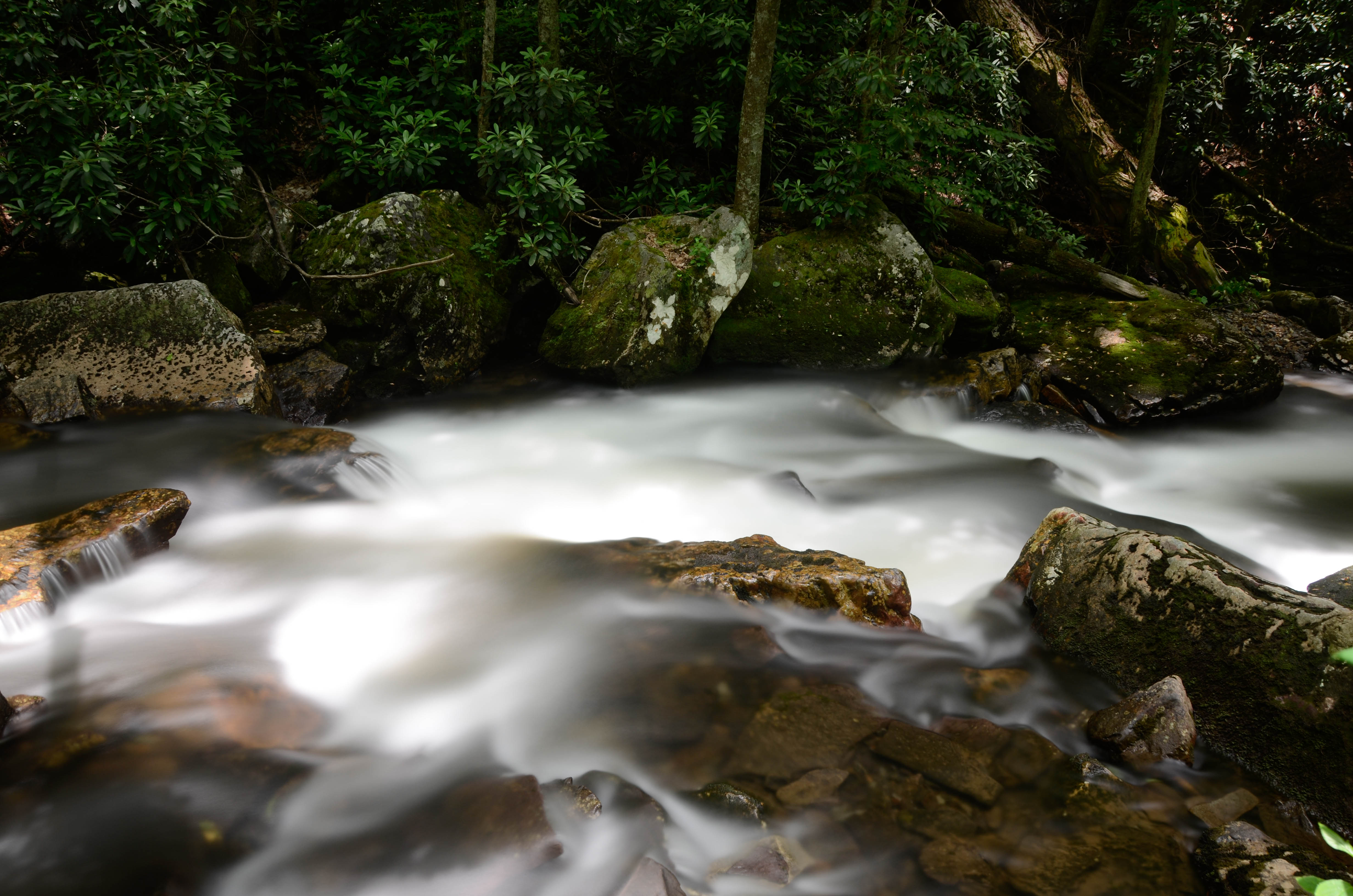
Little Stony Creek

Little Stony Creek II

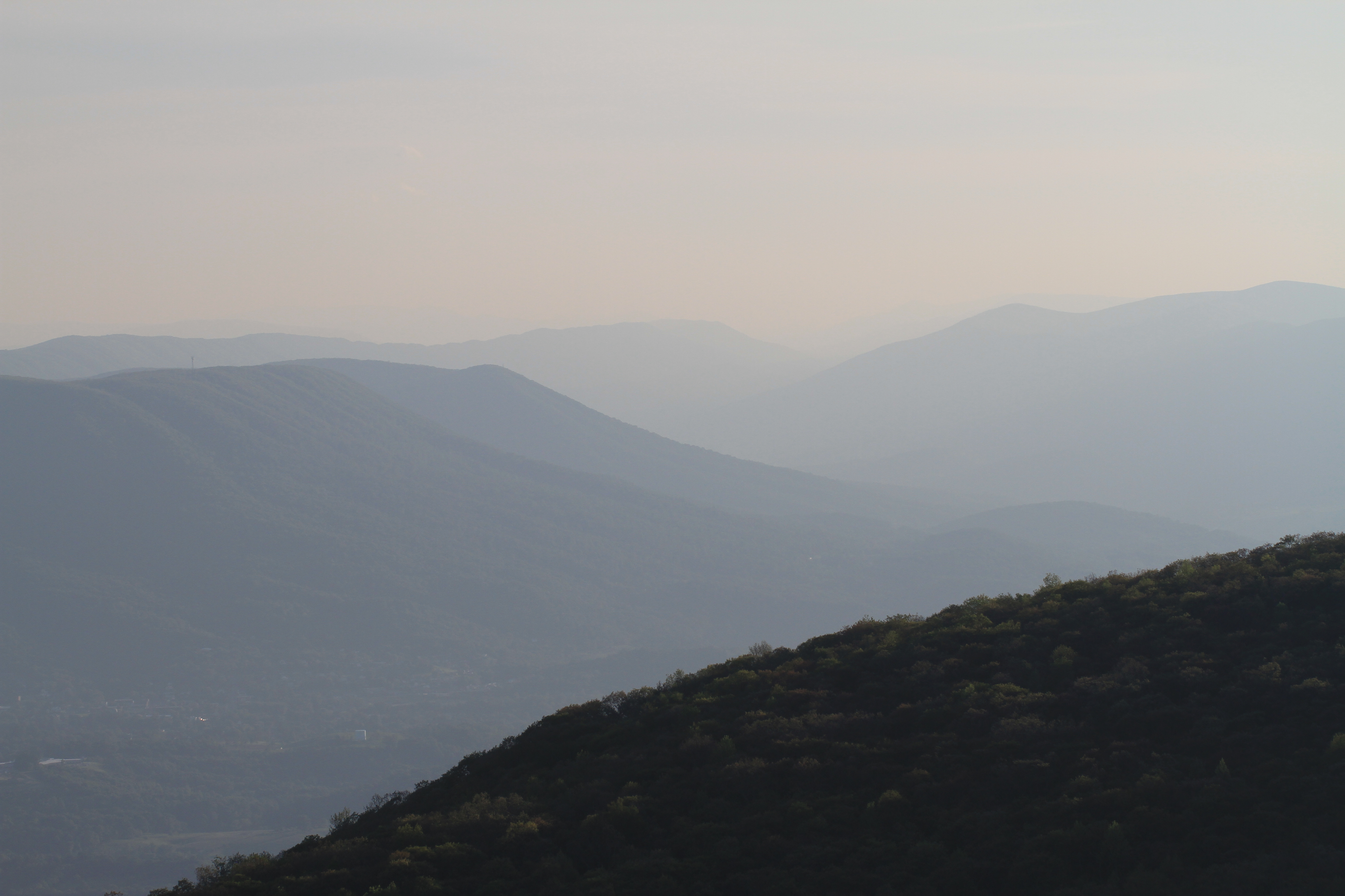
Mountain Lake Overlook
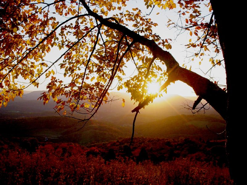
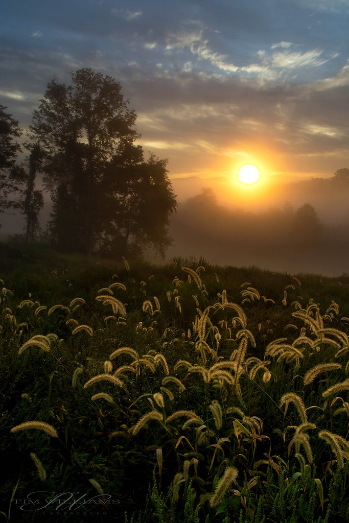
Autumn Sunset

Lookoff Rock

Cascade Falls, Jefferson National Forest, Virginia
Nature's Canvas
Mountain Lake Overlook

US Highway 460, Pearisburg, Virginia

Favorite outdoor views

Link Farm Covered Bridge (Second view)
The view from our bed as I woke up
Shawnee Range View

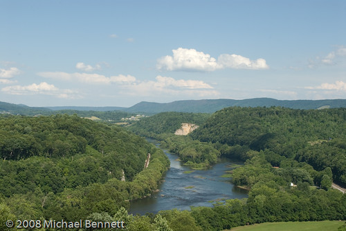
IMG_0106_View of New River under the bridge_Pearisburg_080526
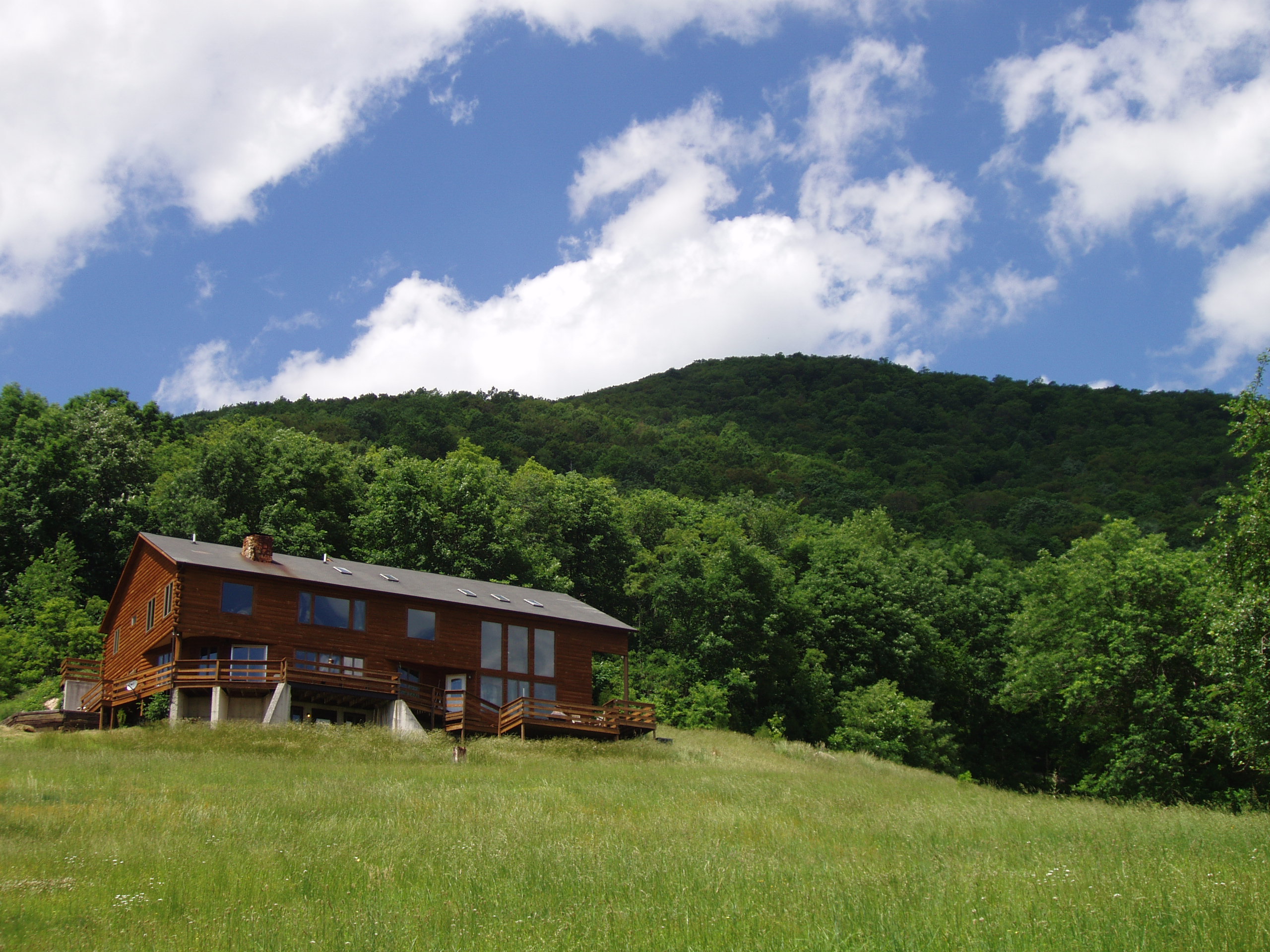
View from the Inn at Riverbend
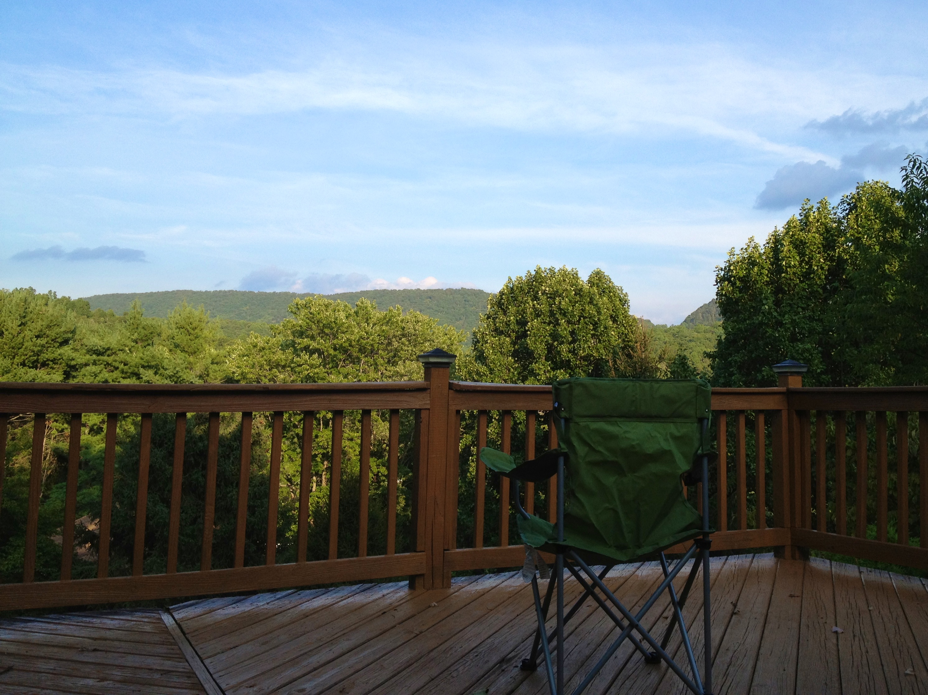
On Deck
Ephimeral Frame
View over Pembroke
View of Salt Pond Mtn peak
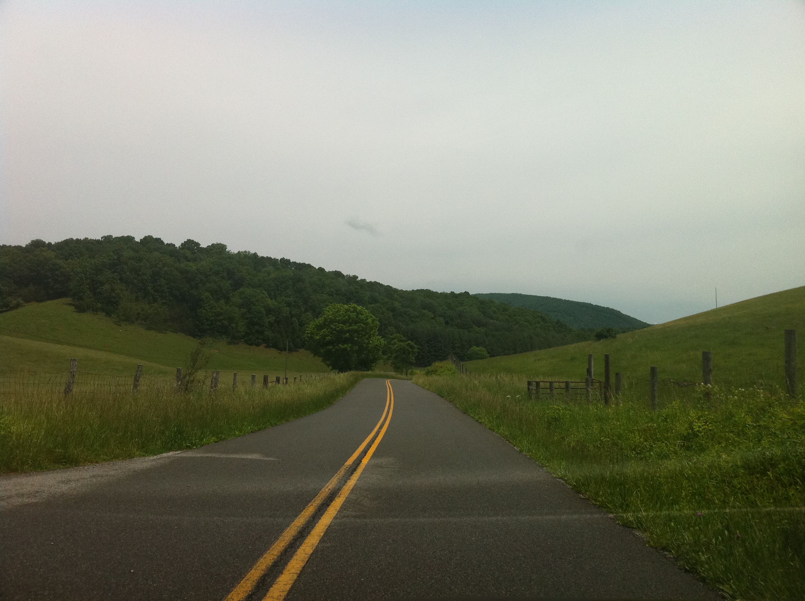
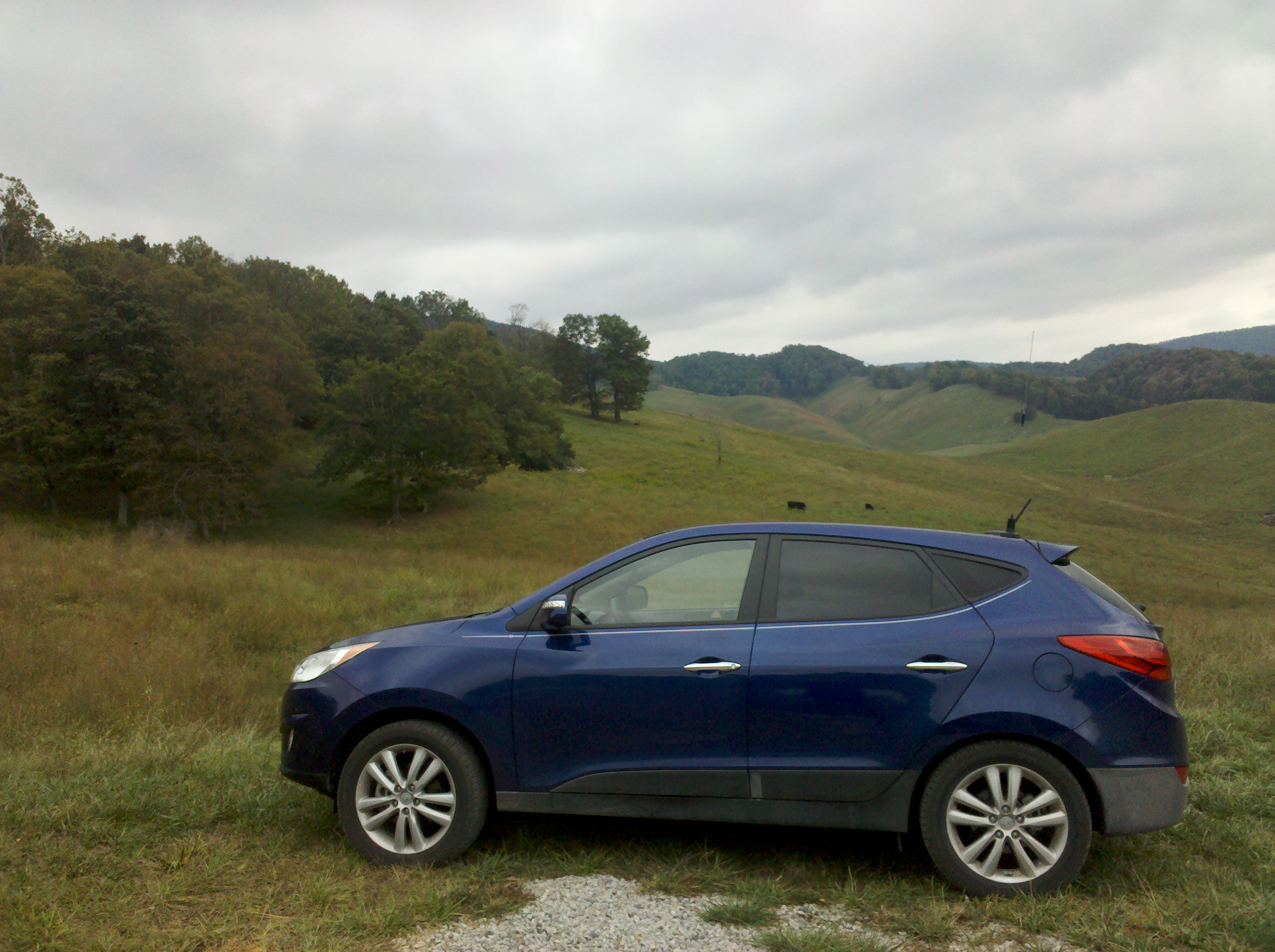
Driving Through Eggleston, Virginia

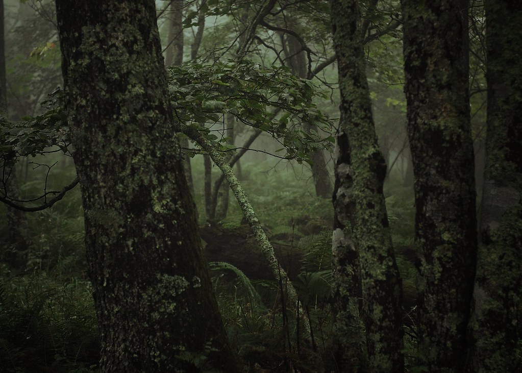
soft shock
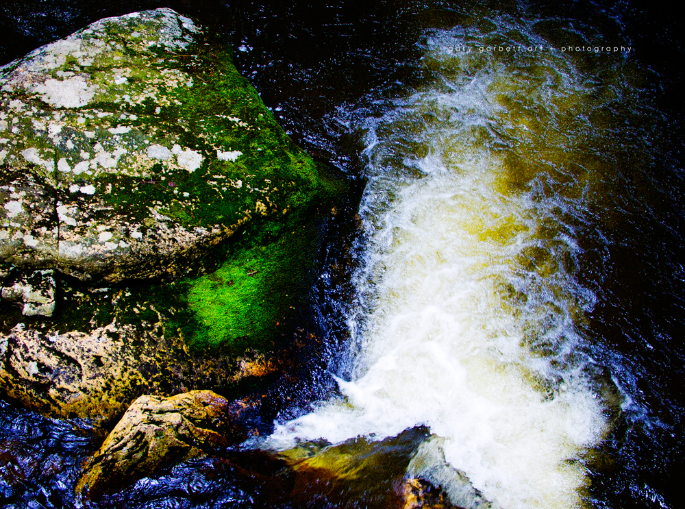
Upper Cascades

chasing light
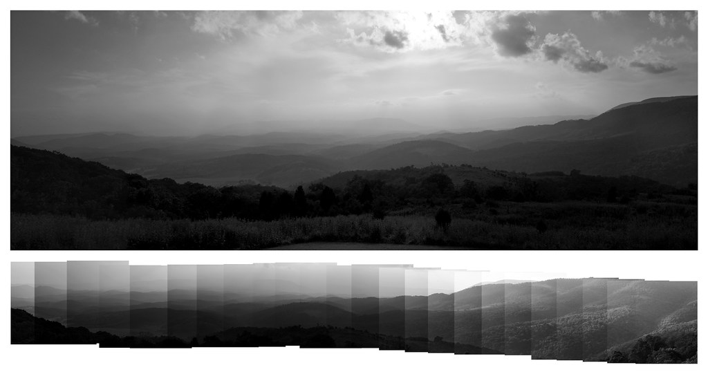
Blue Ridge Mountains
Barney's Wall
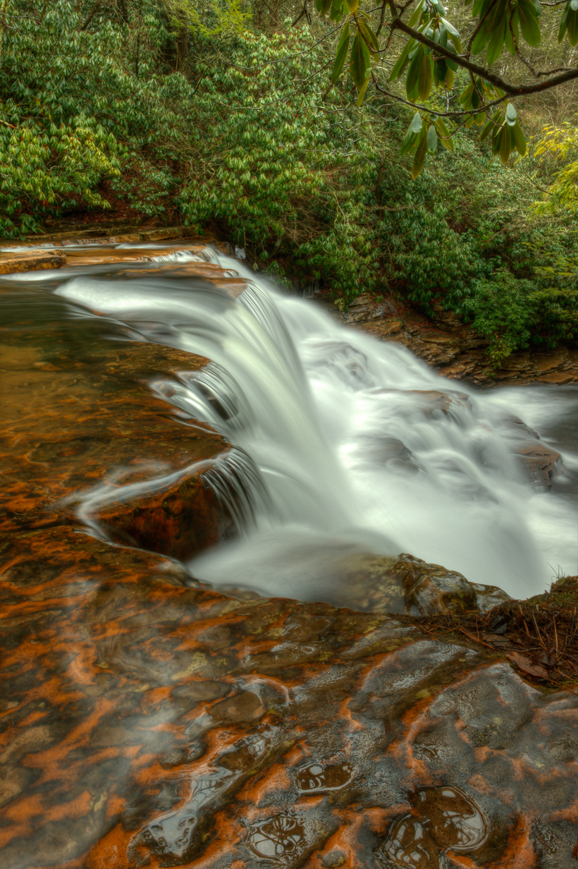
Upper Cascades

Icy Falls

Stars Over the Cascades
There's a whole world out there just waiting to be explored. What are you waiting for? ???? #virginia #waterfall
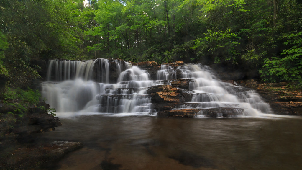
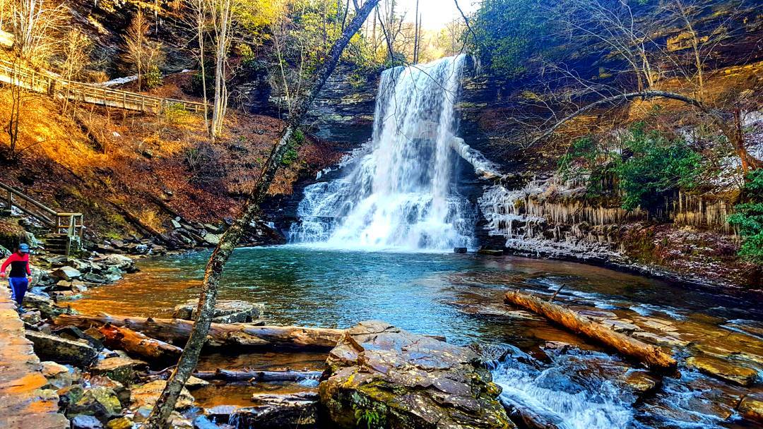
The Cascades - Giles County, VA

Little Stony Creek
Blue Ridge Mountains
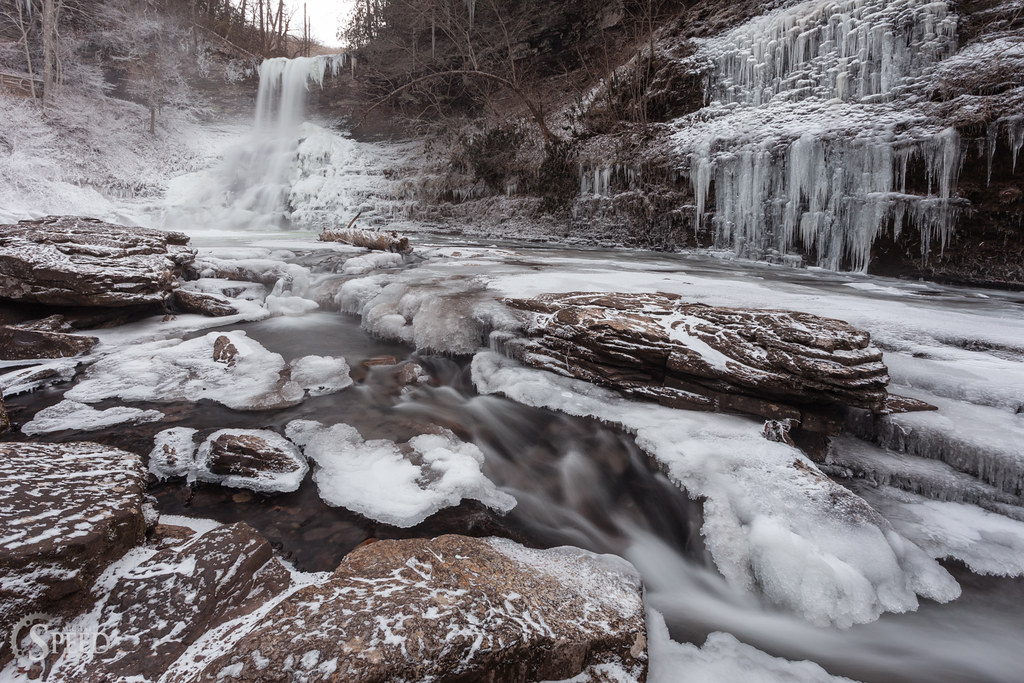
Polar Vortex at Virginia Cascades, 2014
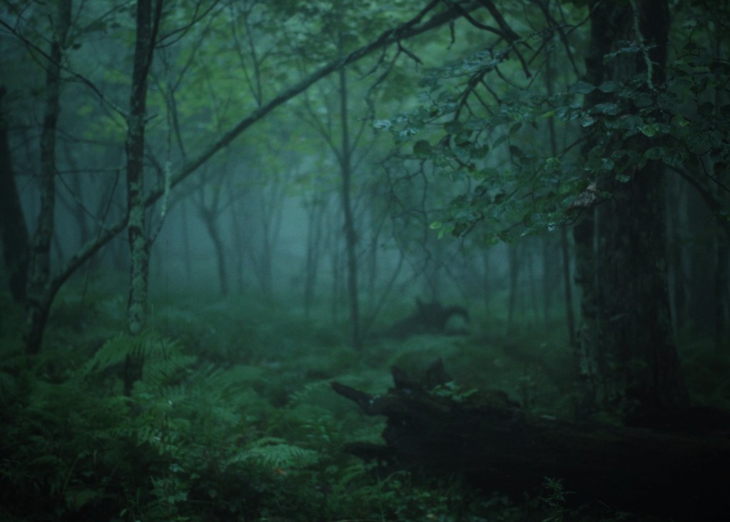
Foggy sunrise
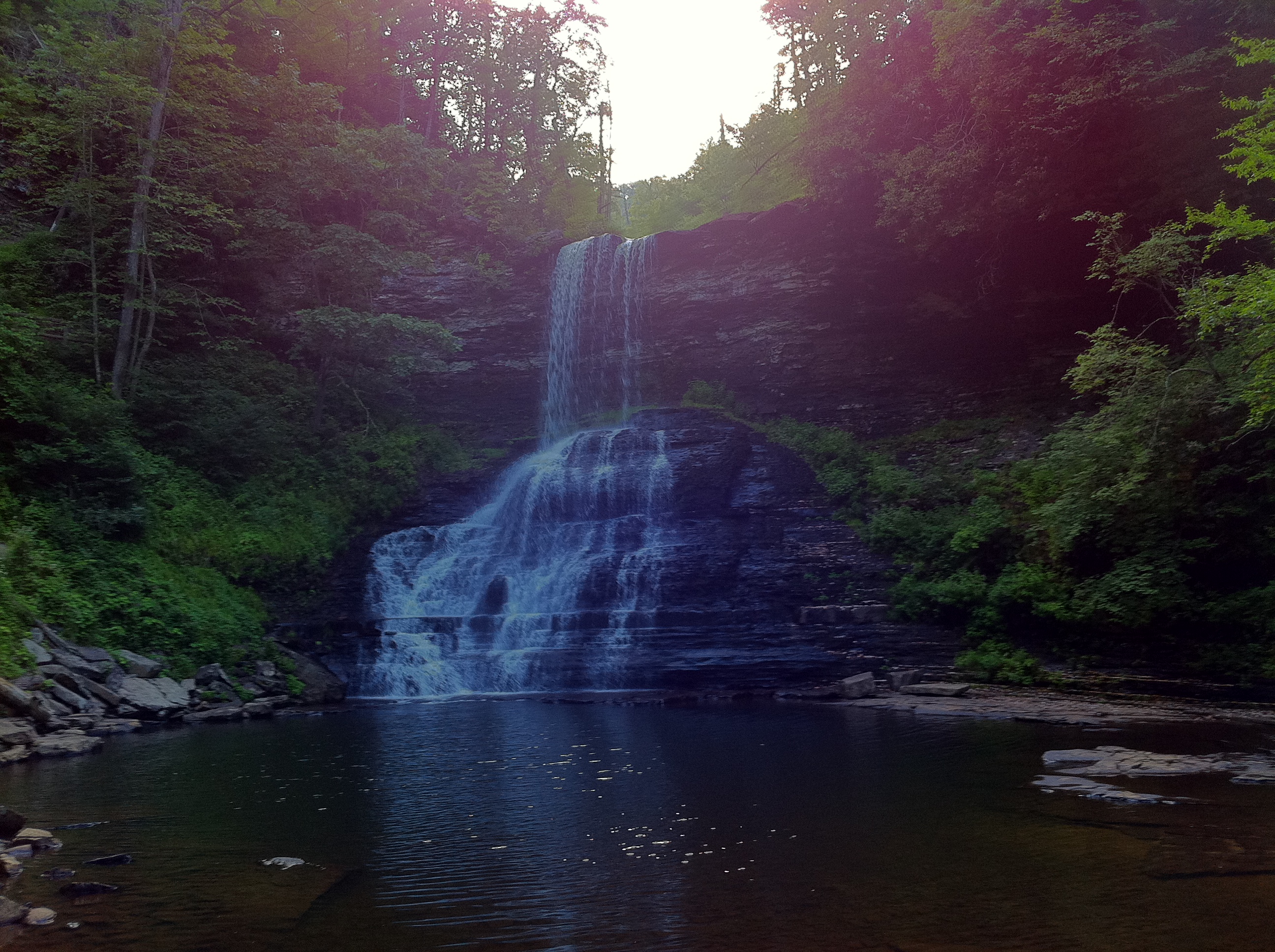
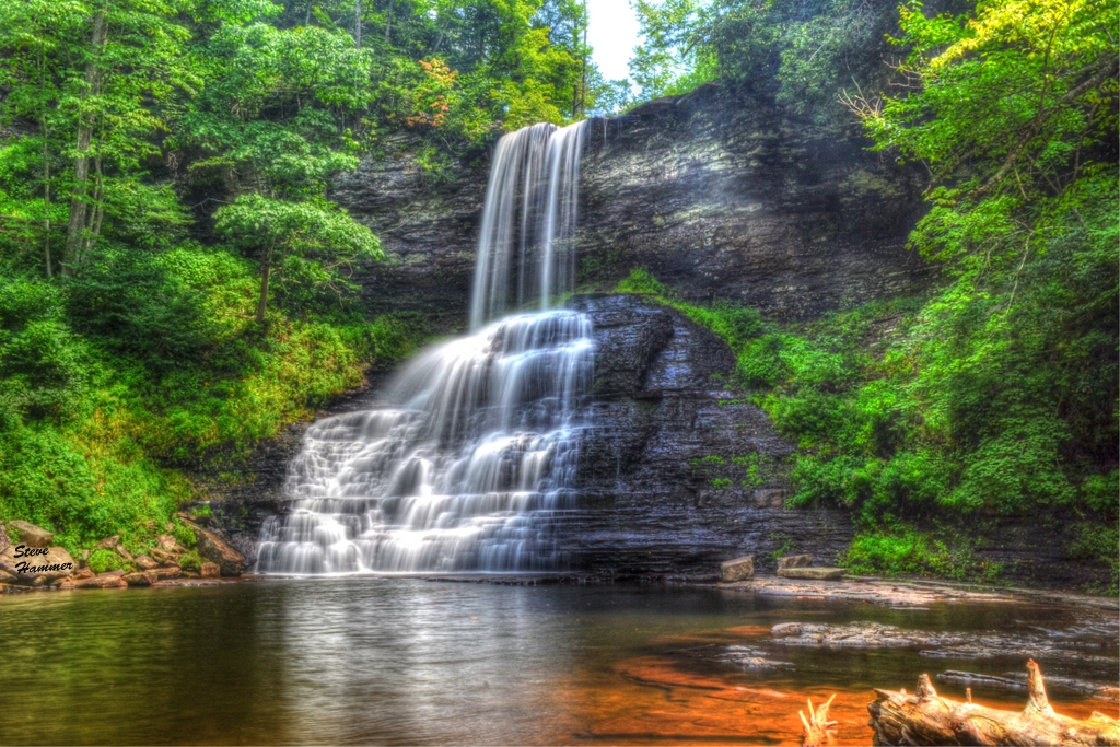
Cascade Falls

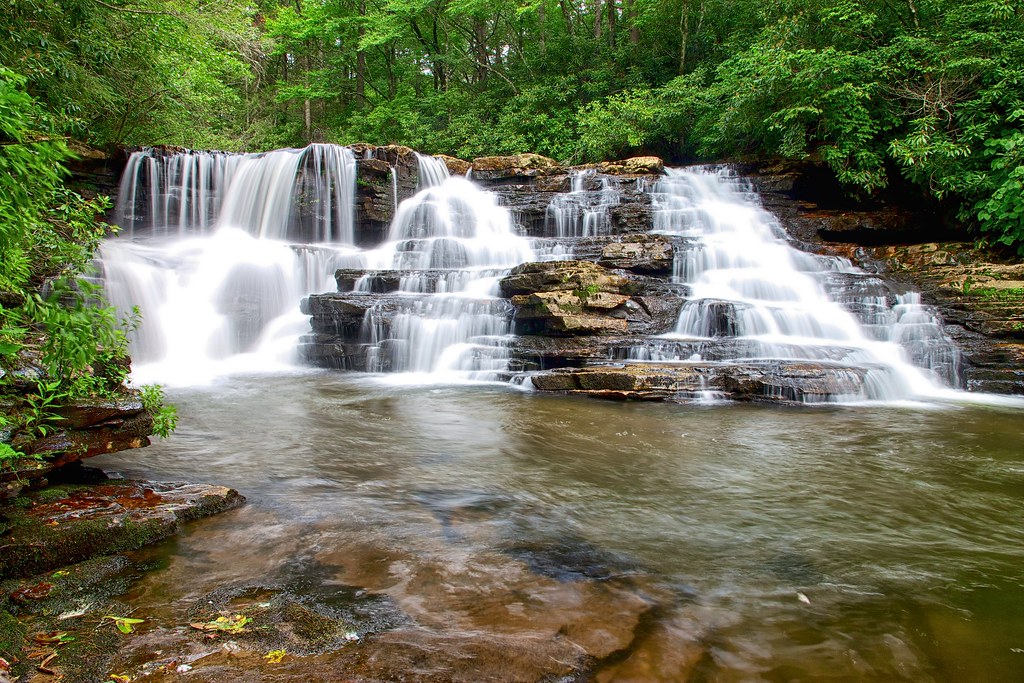
Cascades Waterfall

Super Moon Landscapes 1
Upper Falls - Cascades, Pembroke, Giles Co., Virginia
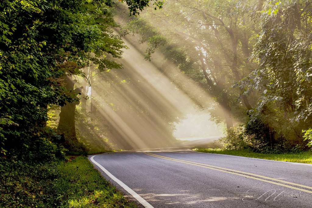
Lighting the way
Topographic Map of Giles County, VA, USA
Find elevation by address:

Places in Giles County, VA, USA:
Places near Giles County, VA, USA:
Virginia Avenue
Ripplemead
Pine Ln, Ripplemead, VA, USA
1825 Wenonah Ave
100 Snidow St
309 Chestnut St
430 Boxwood Ln
Pembroke
1104 Henson Ave
Curve Road
2058 Eggleston Rd
Pearisburg
301 Orchard Dr
92 Kow Camp Rd
Eggleston
110 Patrick Dr
2093 Big Stony Creek Rd
659 Buckeye Run
283 Snidertown Rd
Brickyard Rd, Pembroke, VA, USA
Recent Searches:
- Elevation of Corso Fratelli Cairoli, 35, Macerata MC, Italy
- Elevation of Tallevast Rd, Sarasota, FL, USA
- Elevation of 4th St E, Sonoma, CA, USA
- Elevation of Black Hollow Rd, Pennsdale, PA, USA
- Elevation of Oakland Ave, Williamsport, PA, USA
- Elevation of Pedrógão Grande, Portugal
- Elevation of Klee Dr, Martinsburg, WV, USA
- Elevation of Via Roma, Pieranica CR, Italy
- Elevation of Tavkvetili Mountain, Georgia
- Elevation of Hartfords Bluff Cir, Mt Pleasant, SC, USA