Elevation of Bedford County, VA, USA
Location: United States > Virginia >
Longitude: -79.470388
Latitude: 37.2538794
Elevation: 246m / 807feet
Barometric Pressure: 98KPa
Elevation Map:
Satellite Map:
Related Photos:
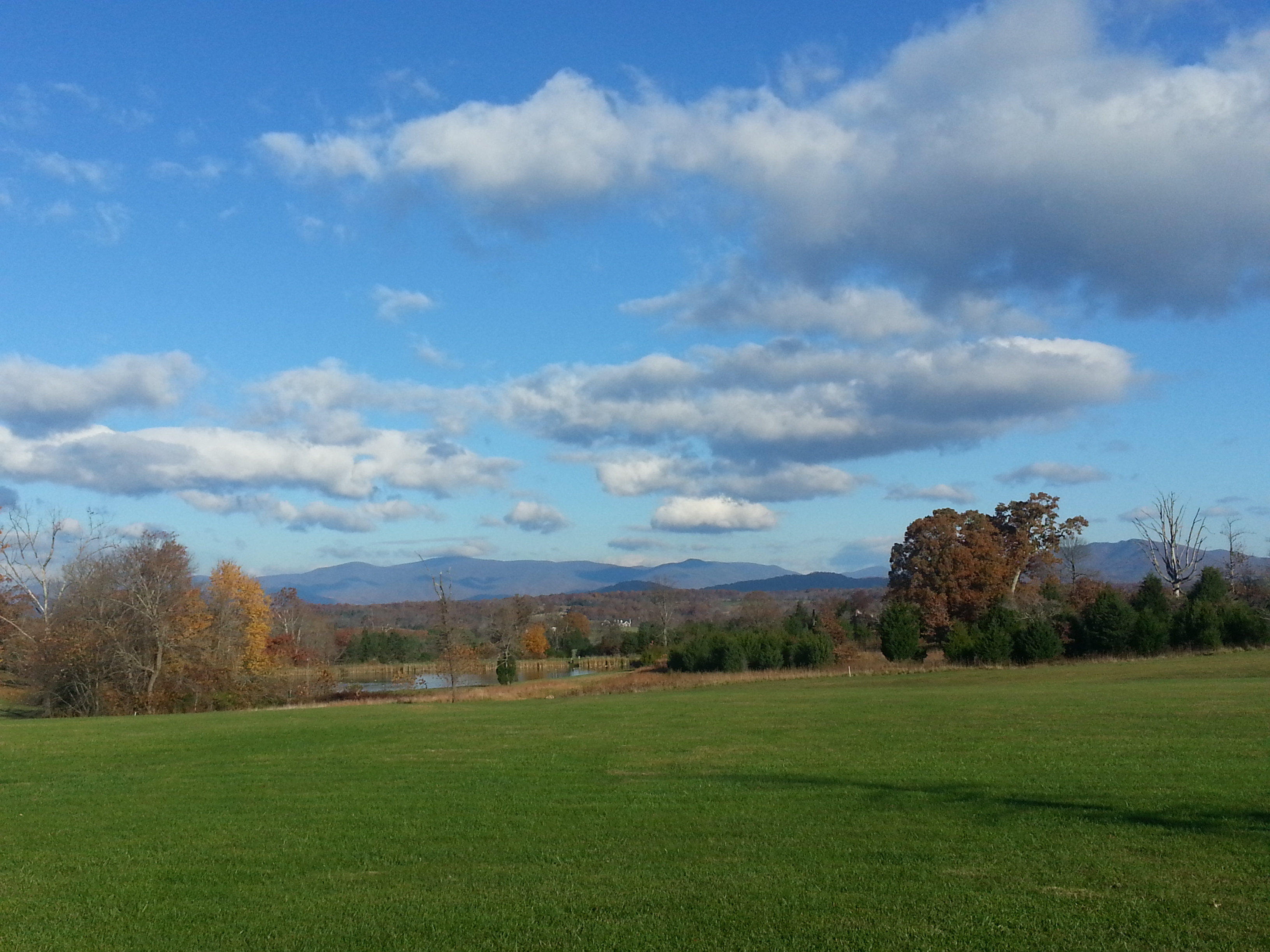
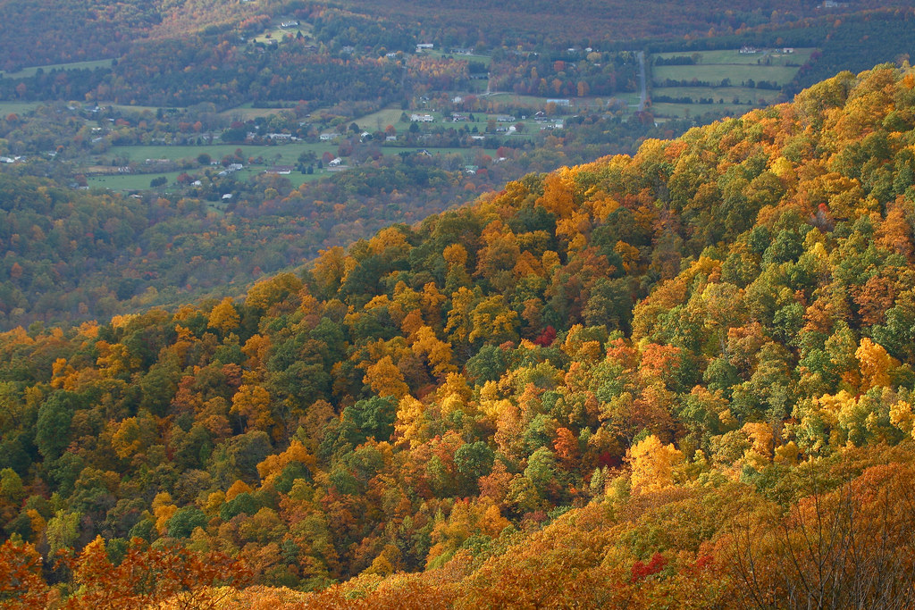
Swansons' View
RAD2013.05.20.19 BPO Elks Home

RAD2013.05.20.20 BPO Elks Home

View from inside

RAD2013.05.20.18 BPO Elks Home

National D-Day Memorial

RAD2013.05.20.21 BPO Elks Home
Last view of 313 South St

Rubatex Plant

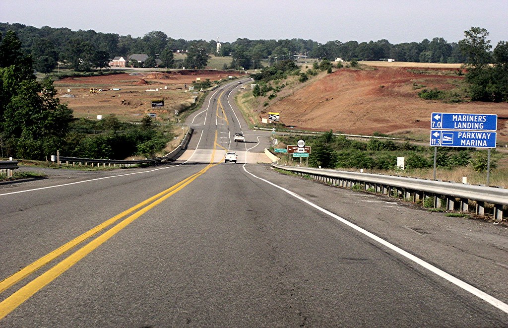
Virginia Road

Day 55 -- UFO?
Kitchen View from DR

National D-Day Memroial

Another view.
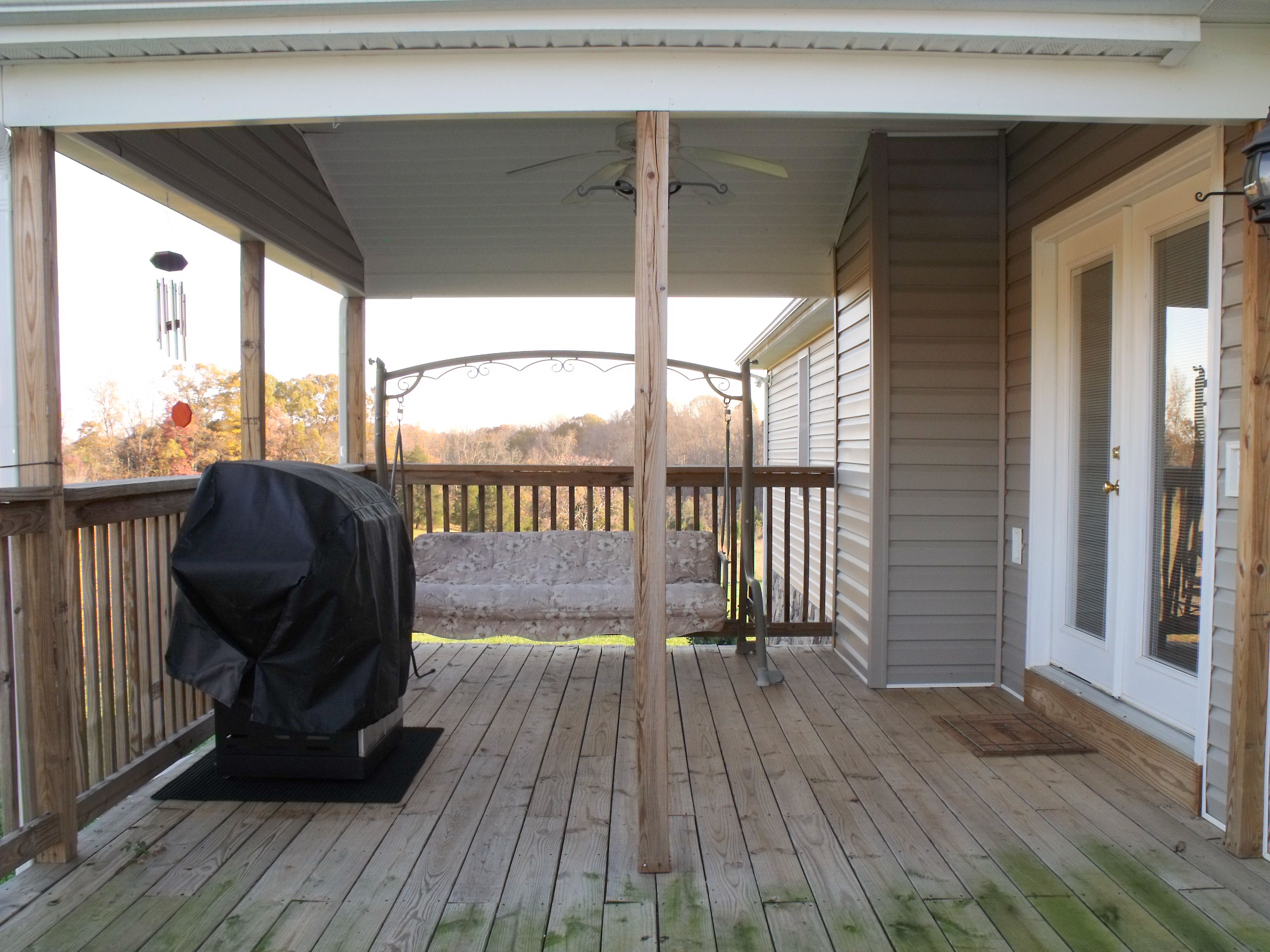
View of Deck

National D-Day Memorial
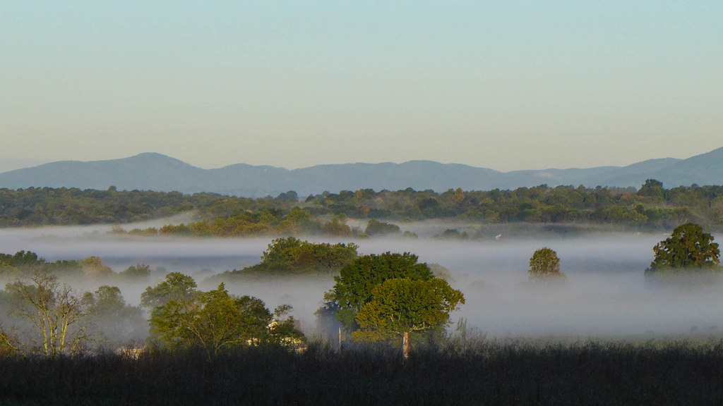
Fabulous Fog
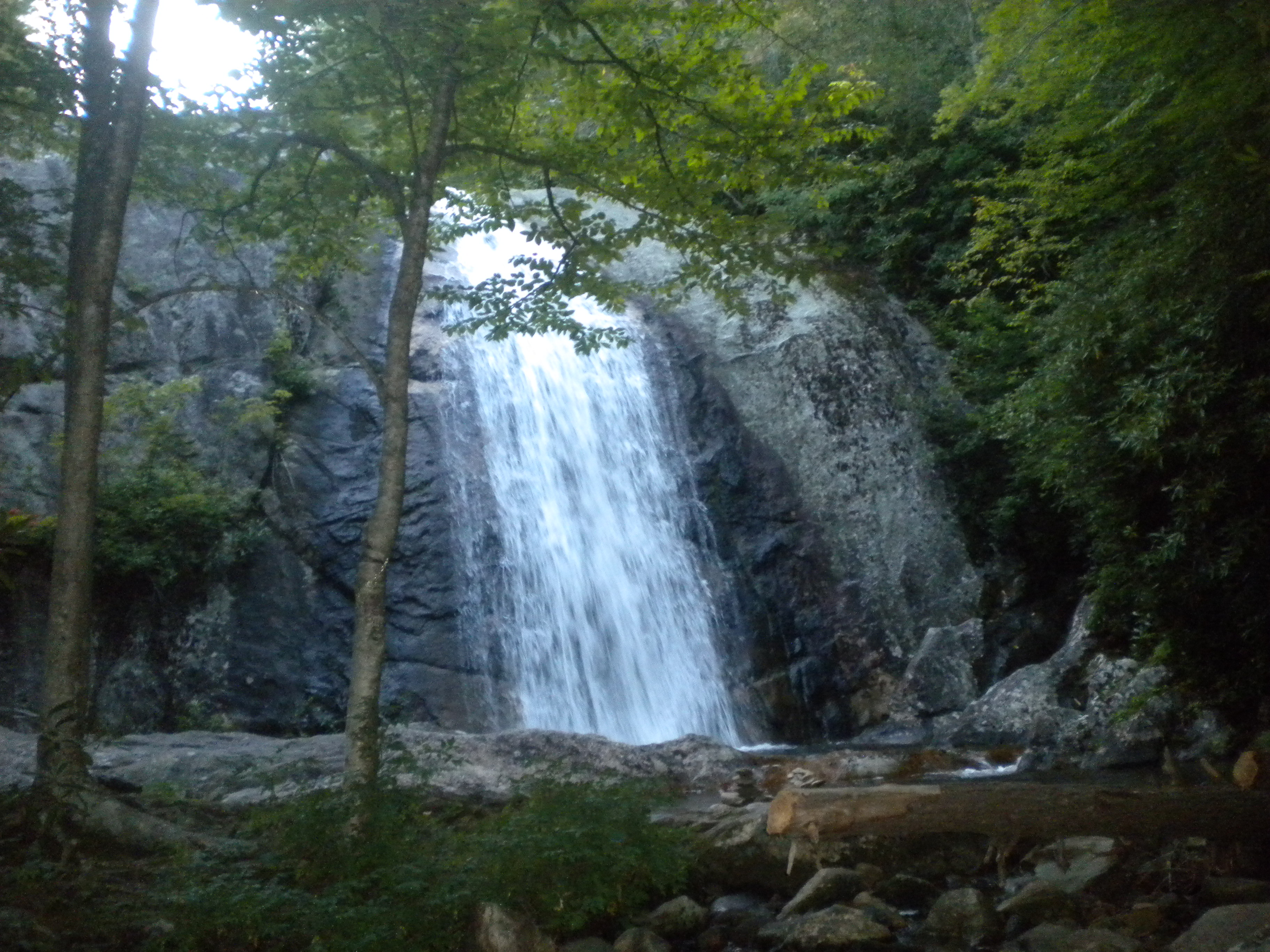
Water Fall

Let's BEE friends!

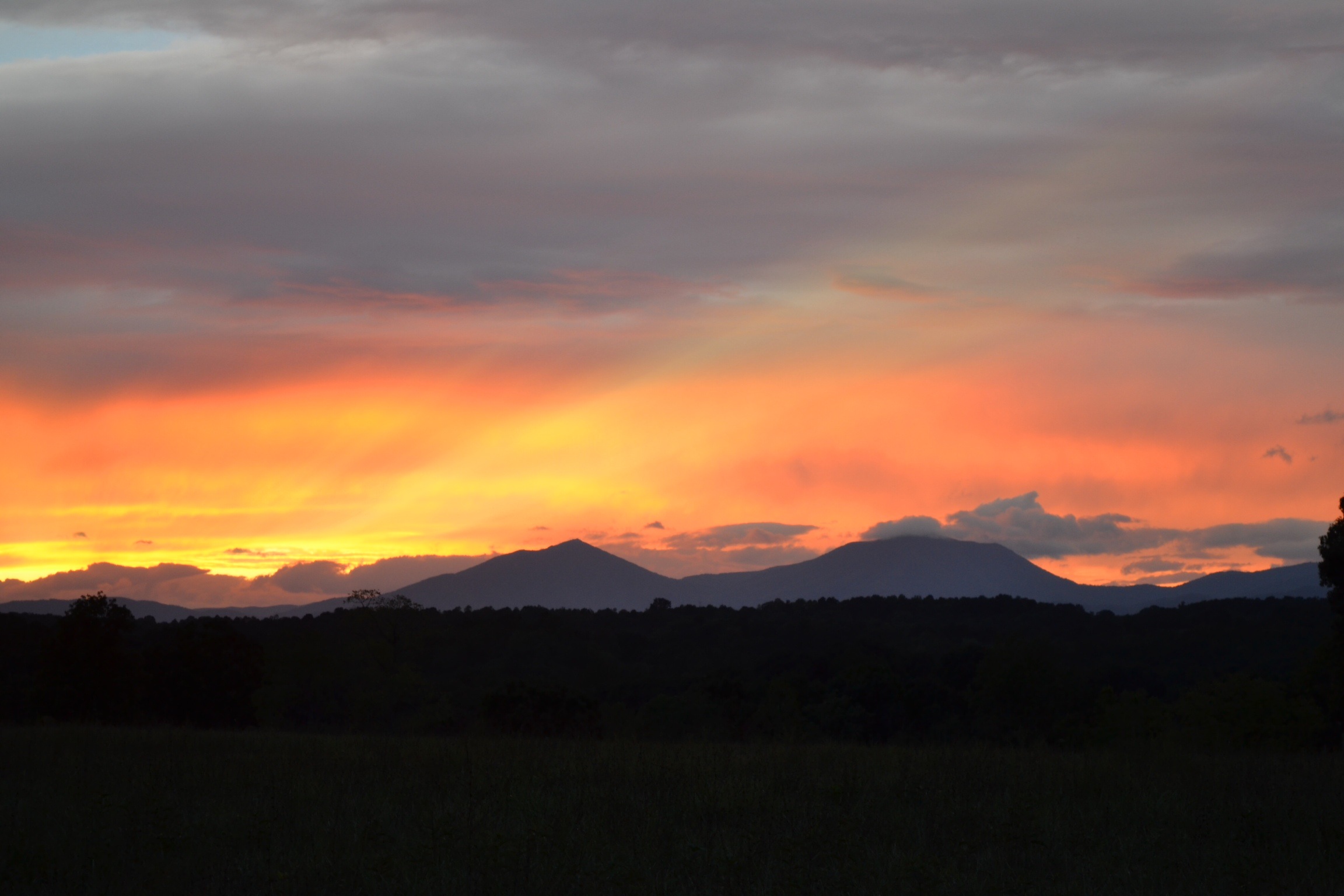
Sunset over the Blue Ridge
20150208_150100.jpg

Southern Anthem
Shenandoah Valley
20150208_145654.jpg

Sun Rays at Sunset
Another shot of the Peaks

Rainbow Oak

Peaks of Otter, Dusk

First Light

Sky waves
I can see for miles
20150208_145616.jpg

Peaks of Otter
Little Shed
Topographic Map of Bedford County, VA, USA
Find elevation by address:

Places in Bedford County, VA, USA:
Places near Bedford County, VA, USA:
1060 Recycle Rd
4115 Crab Orchard Rd
Huddleston
Whistlestop Way, Huddleston, VA, USA
Lakes
1068 Anna Ln
1933 Fancy Grove Rd
2383 Clover Creek Rd
Moneta
2365 Lipscomb Rd
1397 Black Feather Rd
1784 Isle Of Pines Dr
201 Oak Hollow Rd
Meadow Point Dr, Moneta, VA, USA
708 High Point Rd
1092 Gemstone Ln
Barnhill Ln, Moneta, VA, USA
12686 Dickerson Mill Rd
Chamblissburg
612 Merriman Way Rd
Recent Searches:
- Elevation of Corso Fratelli Cairoli, 35, Macerata MC, Italy
- Elevation of Tallevast Rd, Sarasota, FL, USA
- Elevation of 4th St E, Sonoma, CA, USA
- Elevation of Black Hollow Rd, Pennsdale, PA, USA
- Elevation of Oakland Ave, Williamsport, PA, USA
- Elevation of Pedrógão Grande, Portugal
- Elevation of Klee Dr, Martinsburg, WV, USA
- Elevation of Via Roma, Pieranica CR, Italy
- Elevation of Tavkvetili Mountain, Georgia
- Elevation of Hartfords Bluff Cir, Mt Pleasant, SC, USA