Elevation of Merriman Way Rd, Moneta, VA, USA
Location: United States > Virginia > Franklin County > Gills Creek > Westlake Corner >
Longitude: -79.687614
Latitude: 37.1330268
Elevation: 298m / 978feet
Barometric Pressure: 98KPa
Elevation Map:
Satellite Map:
Related Photos:

A Field of Susans 2

The Potter

611 Crossing Falling Creek; Hardy, VA
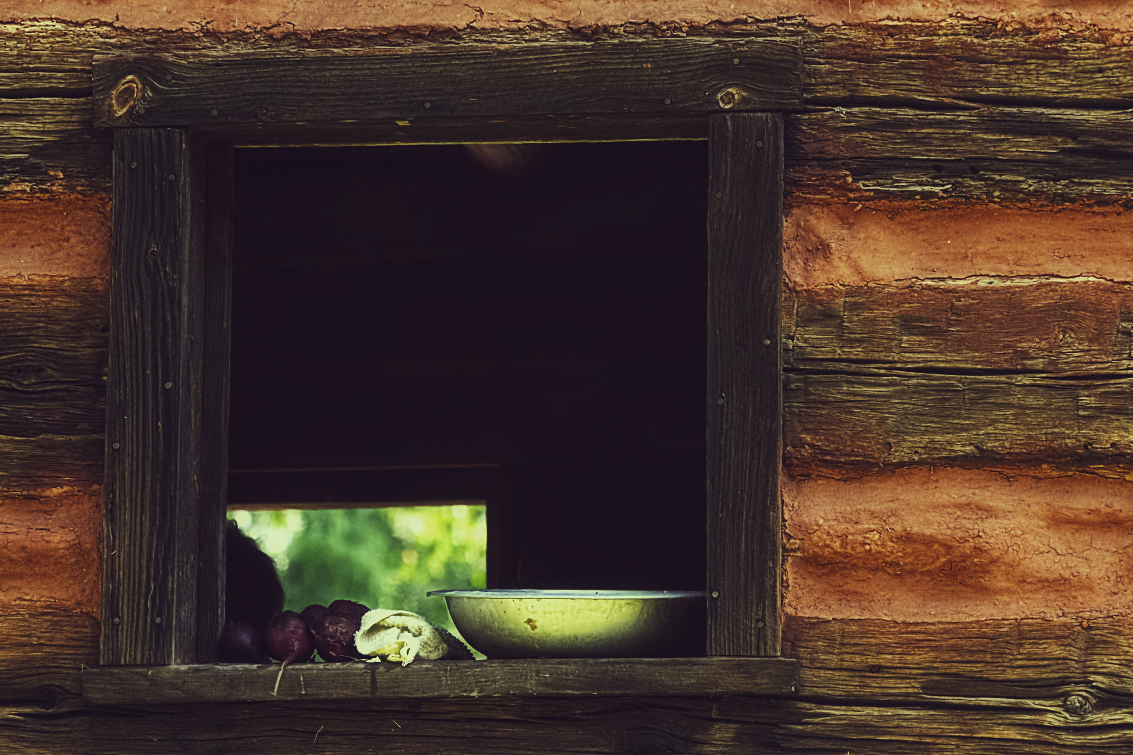
Beets and Cold Water

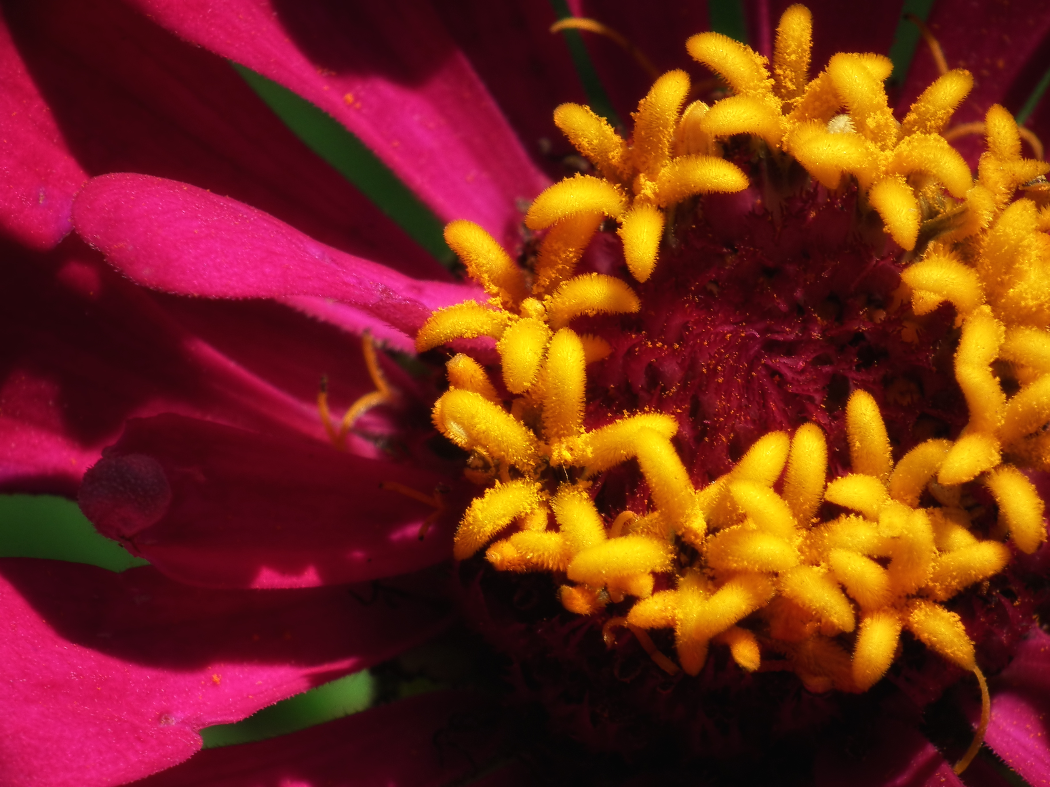
A Field of Susans

I wish and my maintenance windows had this view #sqlserver
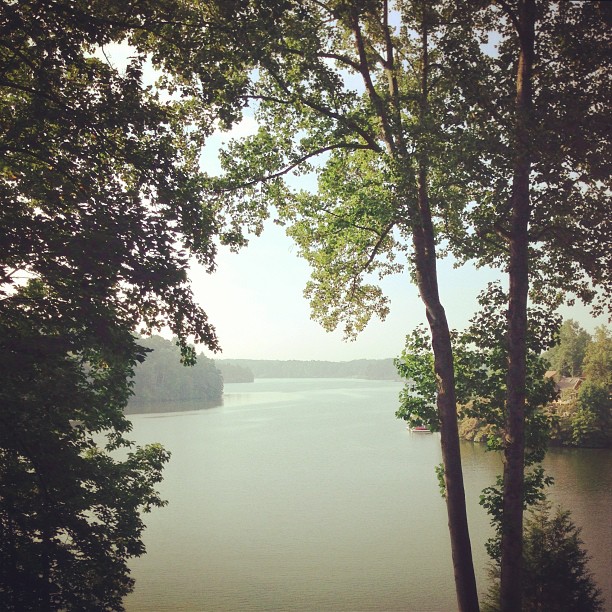
"my sweet virginia" // #va #virginia #lake #view
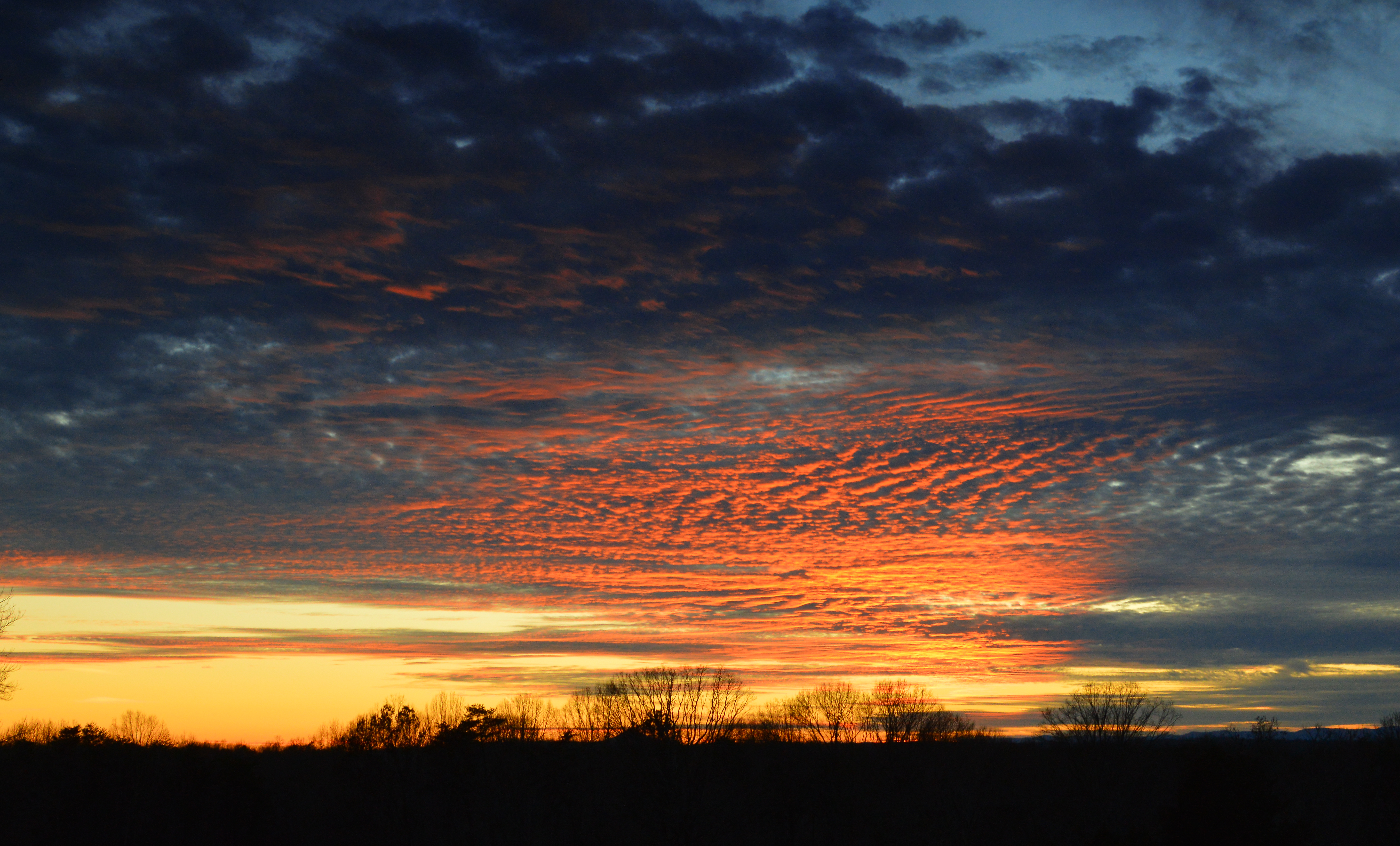
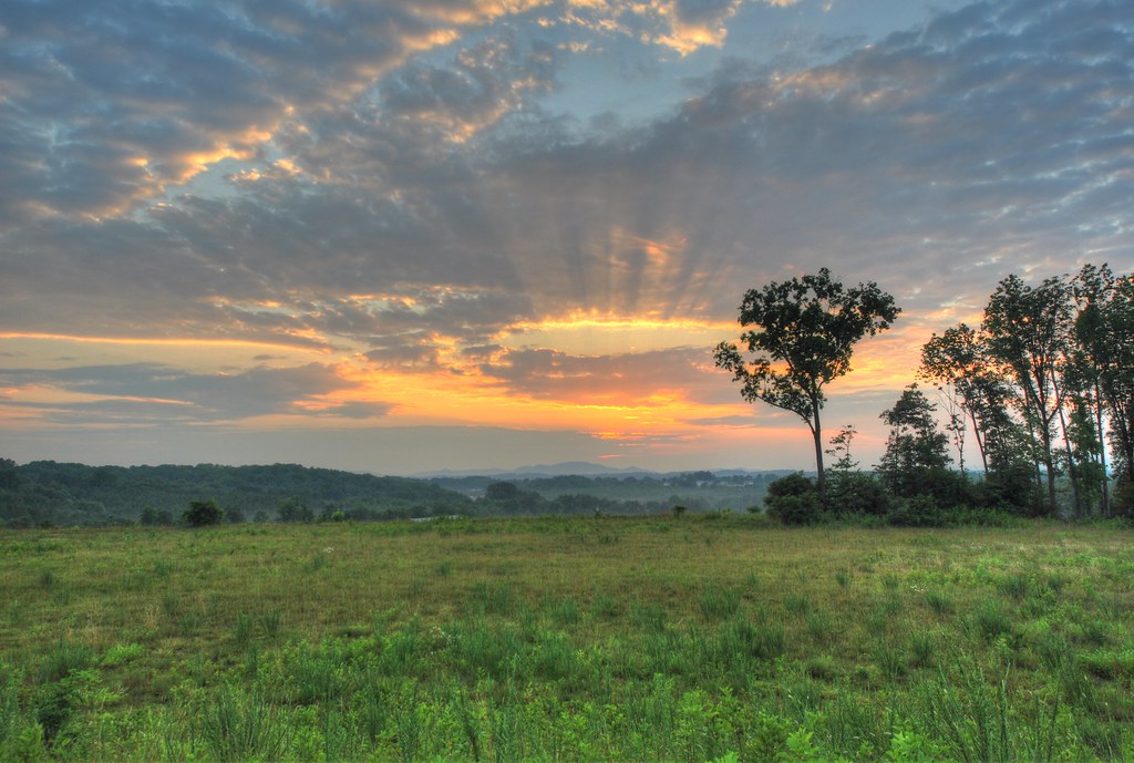
Franklin County Sunset
View from the bridge on hardy
Red Jungle
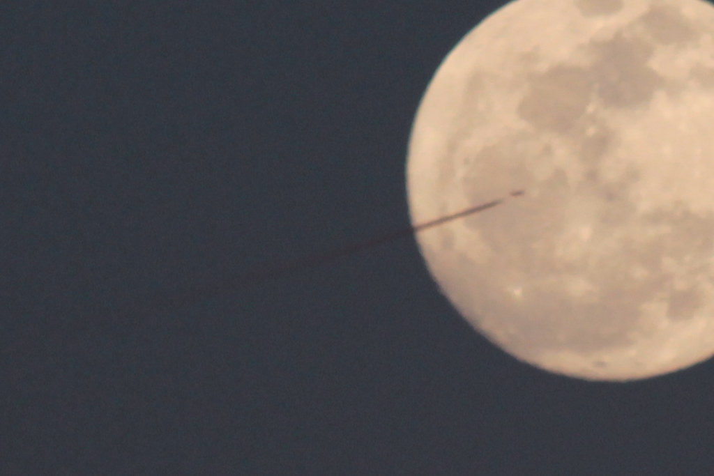
Day 55 -- UFO?

OL7M3139 _Smith_Mountain_Lake_Spring

Reconstructed Slave Cabin
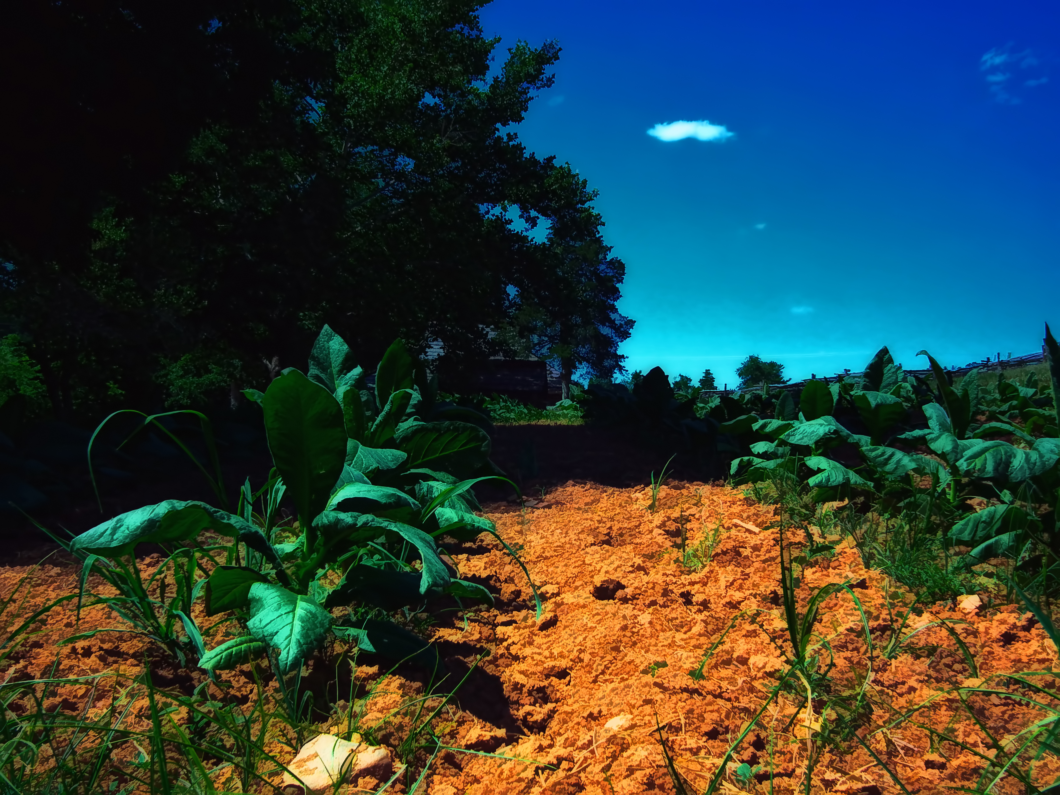
Tobacco Field
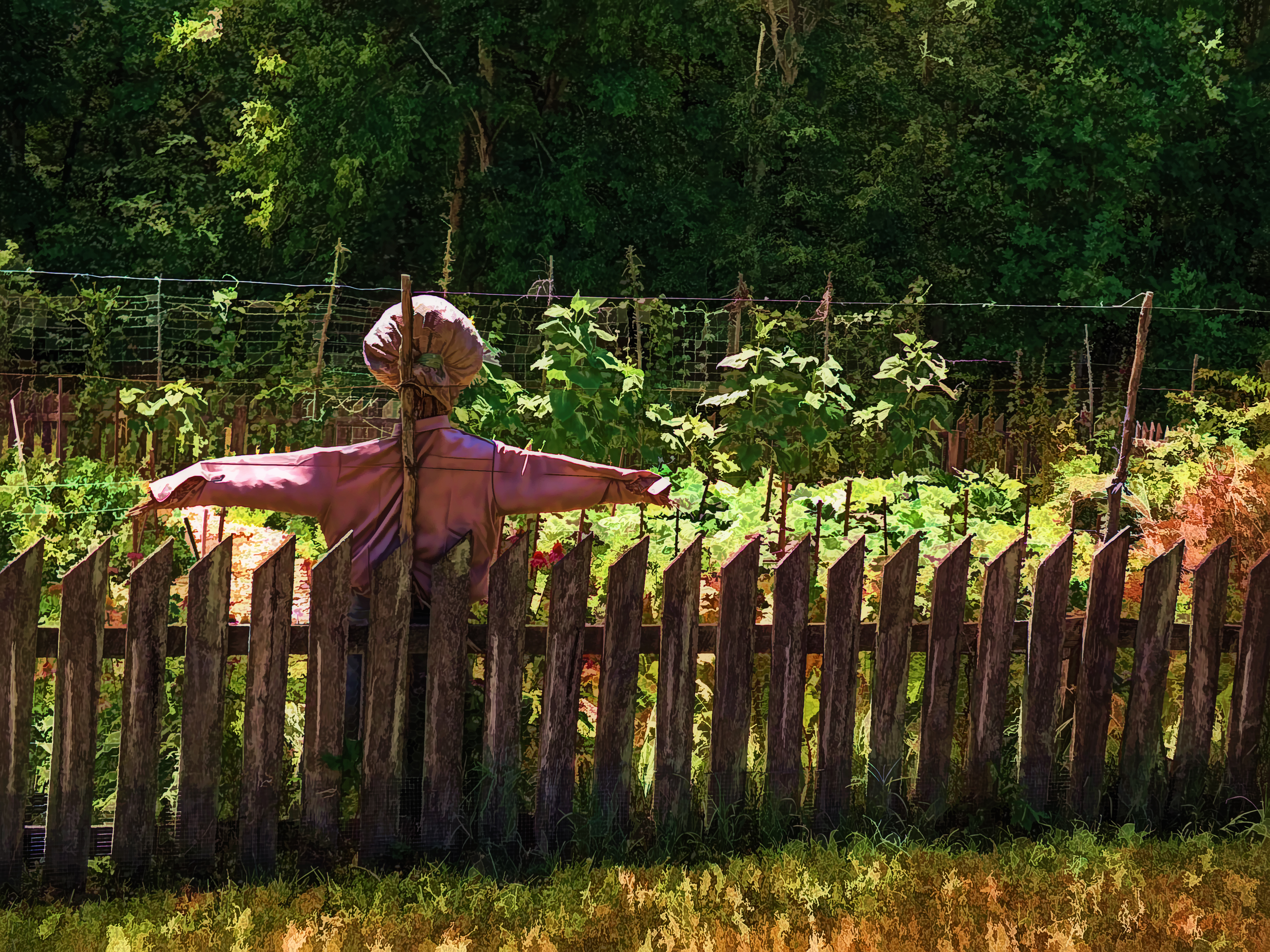
Scarecrow Garden

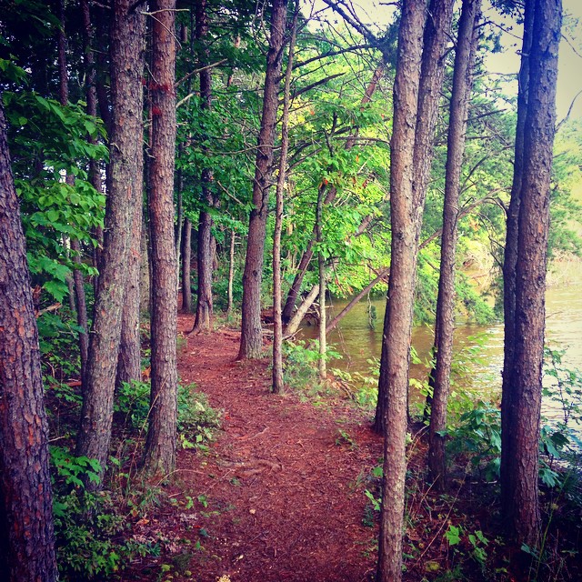
Afternoon Walk
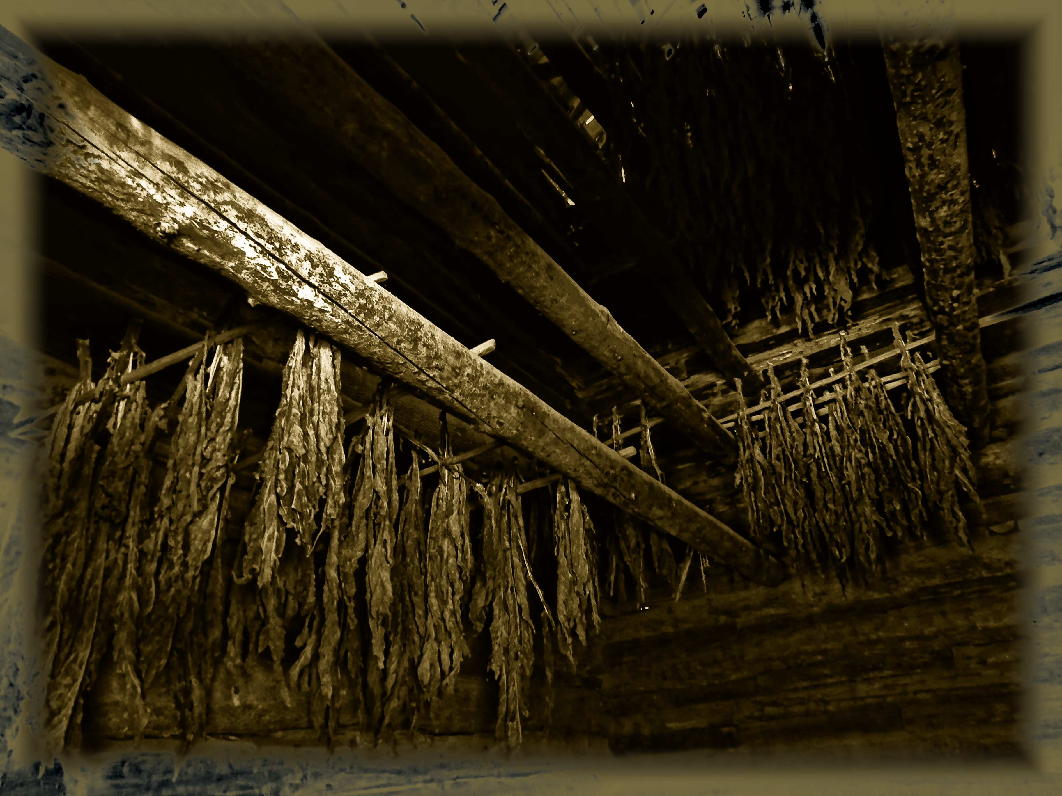
Curing Tobacco
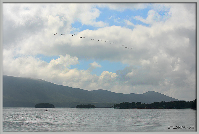
4V4B2917 Geese Over Smith Mountain Lake!
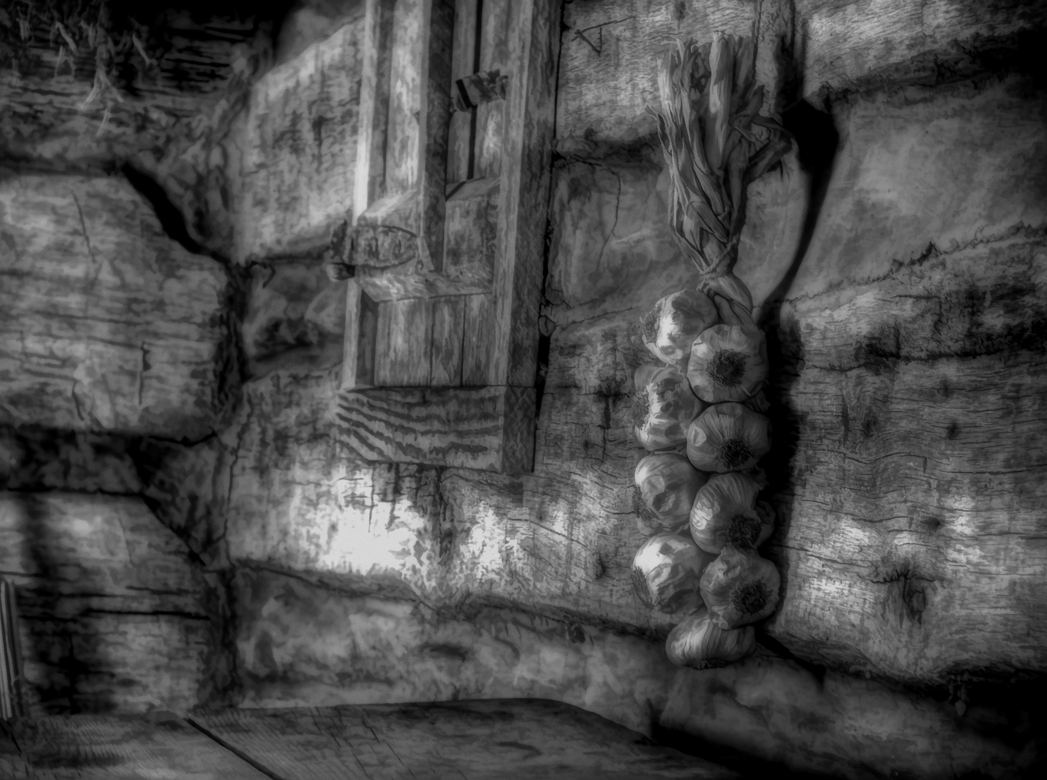
Garlic BW

Table and Churn

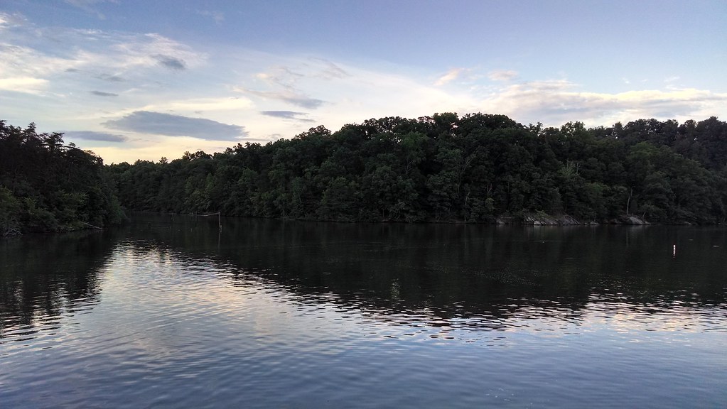
Smith Mountain Lake!
Smith Mountain Lake
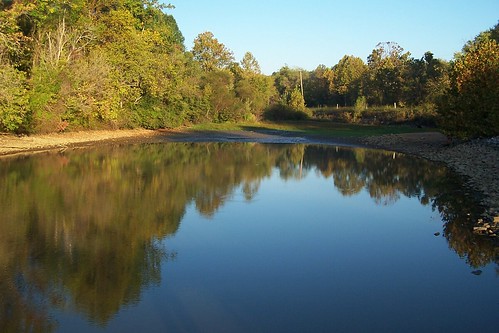
Morning Reflections 14

Great #sunset to end the day
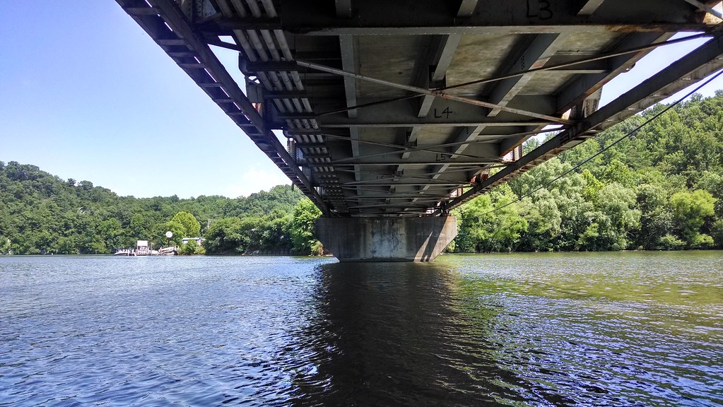
Under the bridge on a kayak

Whatta Sky

Channel Way & Cove Point Trl, , VA 24121, United States
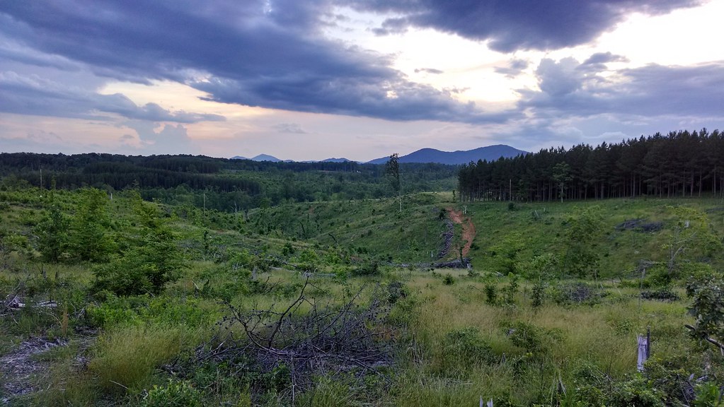
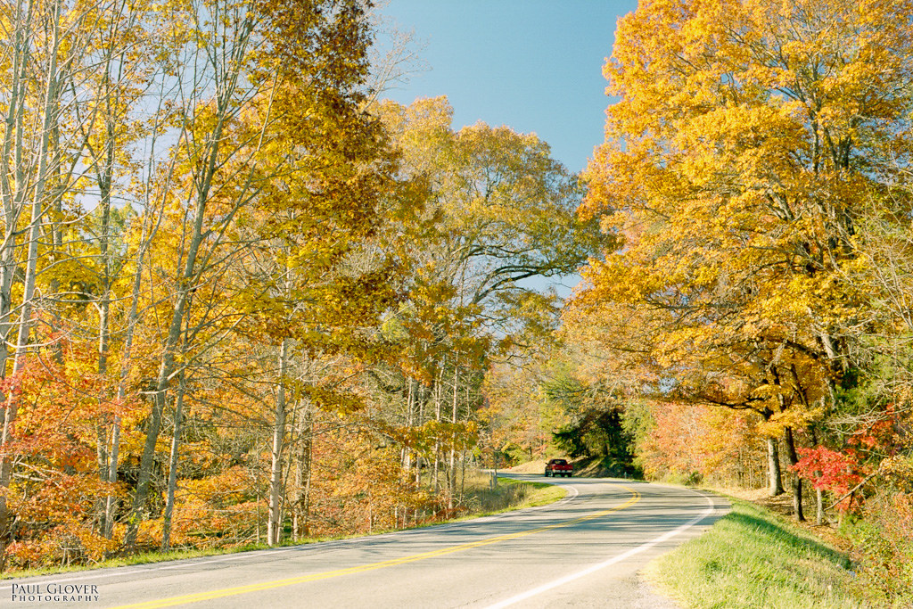
scenery off Hardy Road
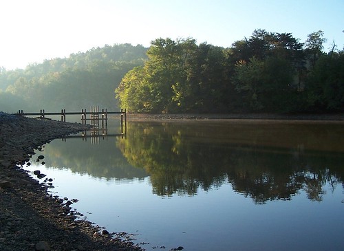
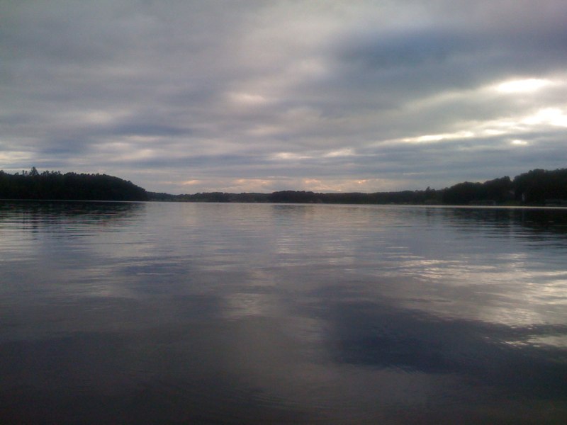
Morning Reflections 03

- Sunset at Smith Mountain Lake
Trail running lake side
Orange Tunnel
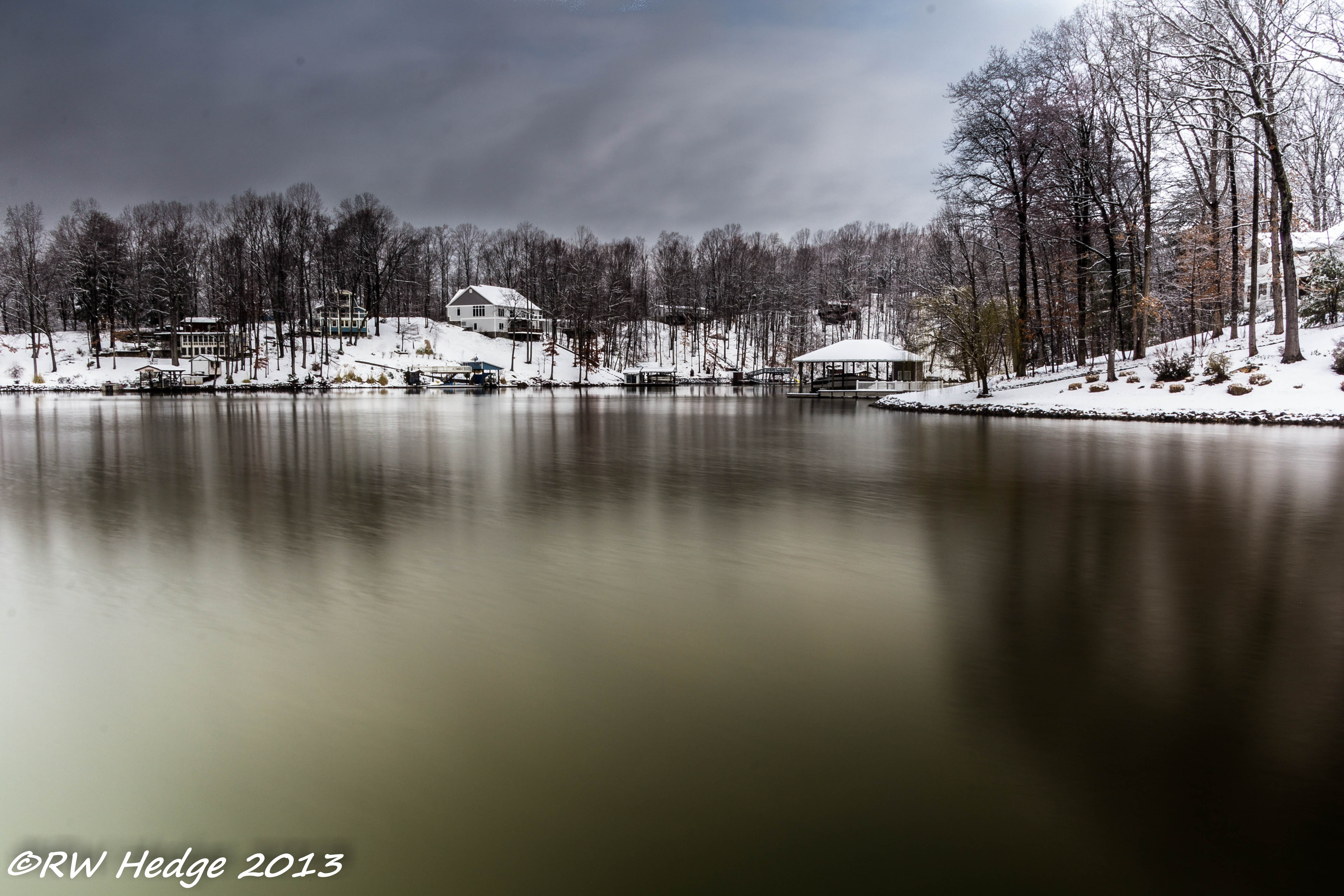
Calm water snow scene II

Channel Way & Cove Point Trl, , VA 24121, United States

Roanoke River from hardy road

Channel Way & Cove Point Trl, , VA 24121, United States

Another great #sunset
Channel Way & Cove Point Trl, , VA 24121, United States
Topographic Map of Merriman Way Rd, Moneta, VA, USA
Find elevation by address:

Places near Merriman Way Rd, Moneta, VA, USA:
Booker T Washington Hwy, Moneta, VA, USA
Westlake Corner
Gills Creek
Meadow Point Dr, Moneta, VA, USA
201 Oak Hollow Rd
708 High Point Rd
594 Middle Valley Rd
Barnhill Ln, Moneta, VA, USA
1092 Gemstone Ln
690 Northridge Rd
1784 Isle Of Pines Dr
103 Sailaway Ct
3831 Hardy Rd
Moneta
Goodview
110 Hickory Lake Ln
2365 Lipscomb Rd
1397 Black Feather Rd
12686 Dickerson Mill Rd
Chamblissburg
Recent Searches:
- Elevation of Lumagwas Diversified Farmers Multi-Purpose Cooperative, Lumagwas, Adtuyon, RV32+MH7, Pangantucan, Bukidnon, Philippines
- Elevation of Homestead Ridge, New Braunfels, TX, USA
- Elevation of Orchard Road, Orchard Rd, Marlborough, NY, USA
- Elevation of 12 Hutchinson Woods Dr, Fletcher, NC, USA
- Elevation of Holloway Ave, San Francisco, CA, USA
- Elevation of Norfolk, NY, USA
- Elevation of - San Marcos Pass Rd, Santa Barbara, CA, USA
- Elevation of th Pl SE, Issaquah, WA, USA
- Elevation of 82- D Rd, Captain Cook, HI, USA
- Elevation of Harlow CM20 2PR, UK