Elevation of Mill Creek Rd, Millboro, VA, USA
Location: United States > Virginia > Bath County > Millboro > Millboro >
Longitude: -79.518152
Latitude: 38.0819476
Elevation: 603m / 1978feet
Barometric Pressure: 94KPa
Elevation Map:
Satellite Map:
Related Photos:

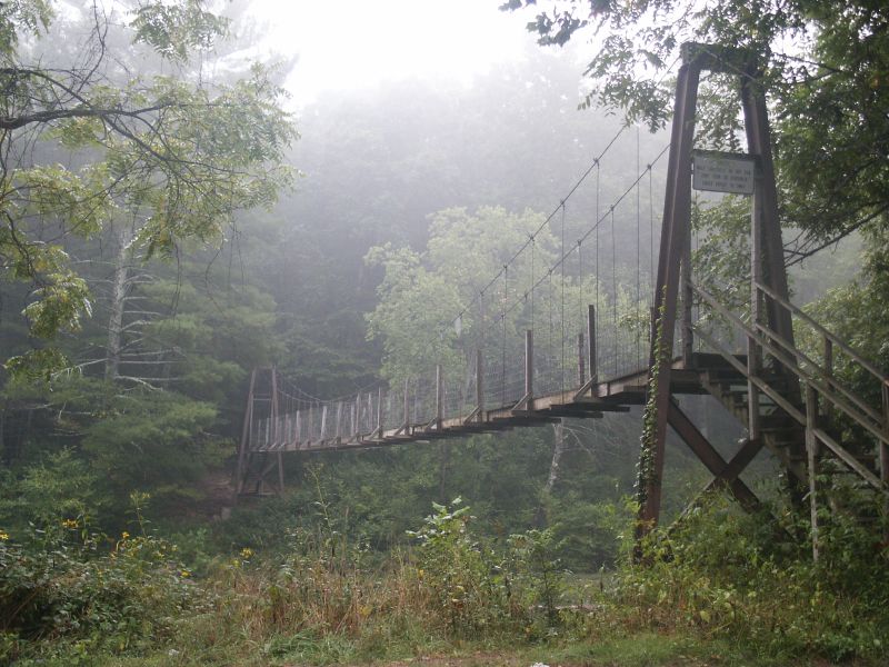
The Bullpasture River Gorge Footbridge

Passing by a pond in the Fall

Bullpasture River Panorama

Bullpasture River Diorama Panorama

The Bullpasture River Gorge Footbridge

Bullpasture River

Bullpasture River

Goshen Virginia

On the Cardinal in Western Virginia

view of Maury River near Goshen, Virginia

view of Maury River near Goshen, Virginia
Walker Mountain Bath county side VA. USA 3600 ft elevation 2.5 hr climb no views .

IMG_2649.JPG

IMG_2666.JPG

IMG_2651.JPG

IMG_2663.JPG

Empties for West Virginia

Footbridge Over the Maury River in Goshen Pass - Goshen, VA

Calfpasture River - Goshen, VA

COUNTRY ROADS

IIluminated Cloud

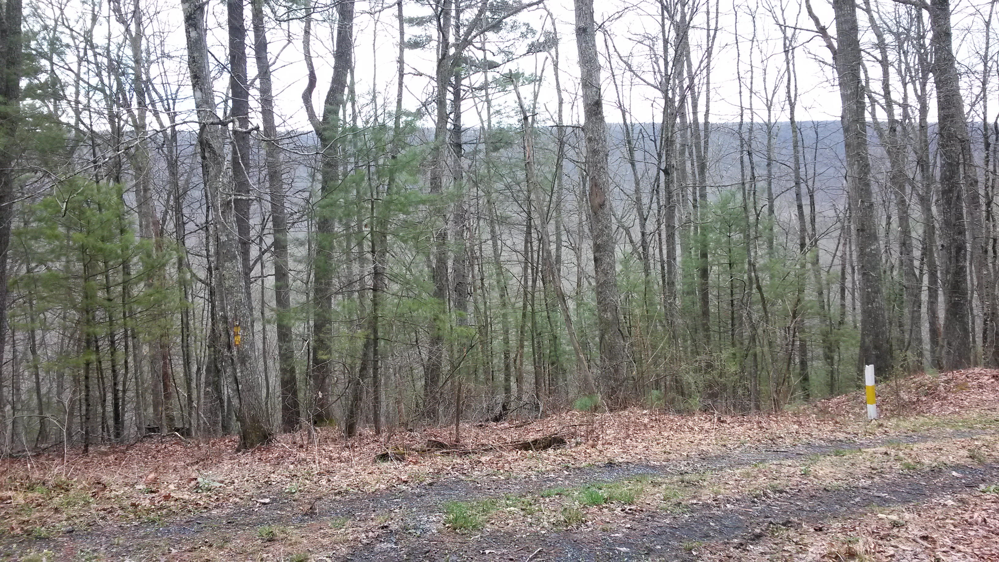
Mill Creek
Early morning fog

Virginia Backroads (85)

Virginia Backroads (82)

Severin fishing

Hot Springs, VA road trip
Topographic Map of Mill Creek Rd, Millboro, VA, USA
Find elevation by address:

Places near Mill Creek Rd, Millboro, VA, USA:
6482 Mill Creek Rd
Mill Creek Crossing
450 Mill Creek Crossing
Deerfield Road
Mill Creek Road
Deerfield Rd, Millboro, VA, USA
13954 Deerfield Rd
Clayton Mill Road
Clayton Mill Road
5311 Pig Run Rd
1511 Mill Creek Rd
580 Virginia Ave
Dream Street
Pig Run Road
Goshen
Hotchkiss
Fort Lewis Lodge & Farm
Mountain Valley Rd, Millboro, VA, USA
603 Old Plantation Way
9223 Maury River Rd
Recent Searches:
- Elevation of Congressional Dr, Stevensville, MD, USA
- Elevation of Bellview Rd, McLean, VA, USA
- Elevation of Stage Island Rd, Chatham, MA, USA
- Elevation of Shibuya Scramble Crossing, 21 Udagawacho, Shibuya City, Tokyo -, Japan
- Elevation of Jadagoniai, Kaunas District Municipality, Lithuania
- Elevation of Pagonija rock, Kranto 7-oji g. 8"N, Kaunas, Lithuania
- Elevation of Co Rd 87, Jamestown, CO, USA
- Elevation of Tenjo, Cundinamarca, Colombia
- Elevation of Côte-des-Neiges, Montreal, QC H4A 3J6, Canada
- Elevation of Bobcat Dr, Helena, MT, USA