Elevation of Silver Creek, IA, USA
Location: United States > Iowa > Pottawattamie County >
Longitude: -95.540729
Latitude: 41.2080303
Elevation: 350m / 1148feet
Barometric Pressure: 97KPa
Elevation Map:
Satellite Map:
Related Photos:
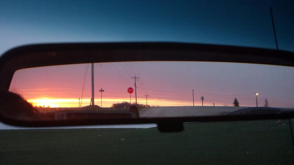
In the Rear View - Elmtree Road

20080628-D70sDSC_4761

Wesley Chapel Cemetery - rural Hastings, IA

#Iowa #sign #slough

#iowa #lilypads #lilypad #slough

#iowa #field of #lilypads #lilypad #blooms #slough
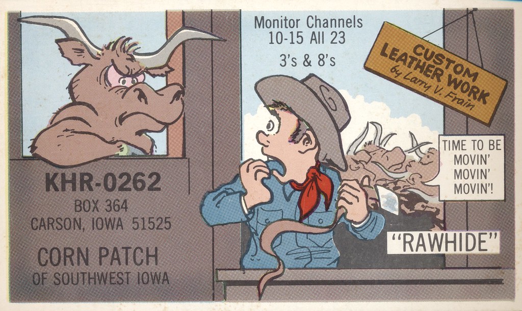
Rawhide - Carson, Iowa
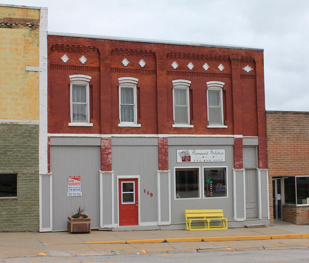
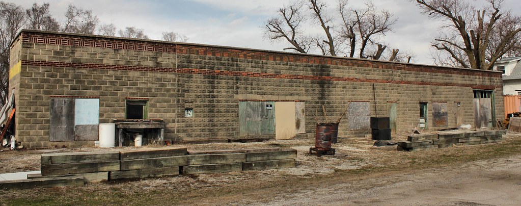
Downtown Building - Carson, IA
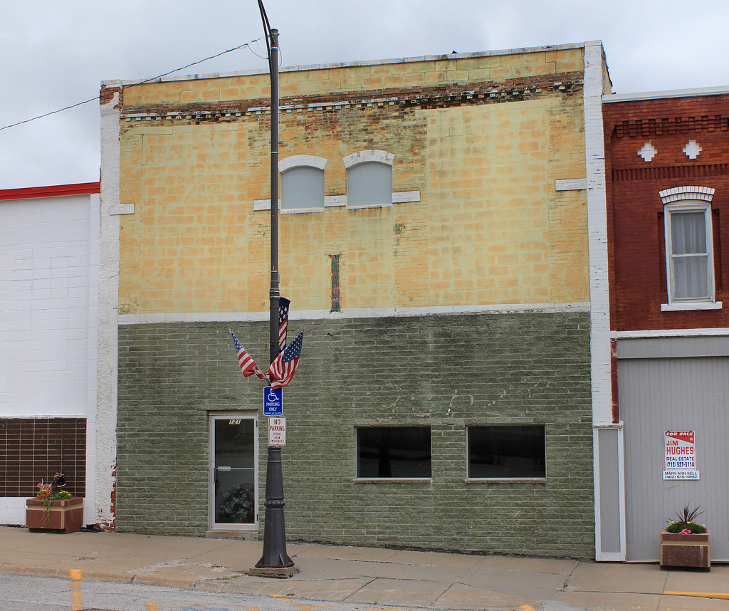
Downtown Building - Carson, IA
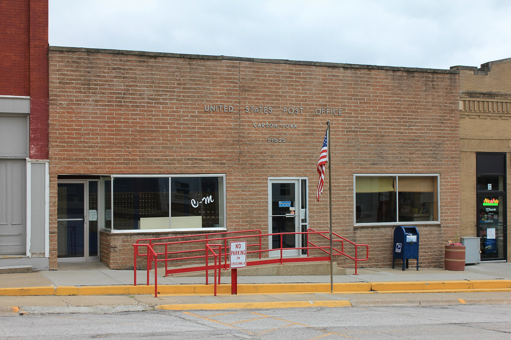
Post Office - Carson, IA
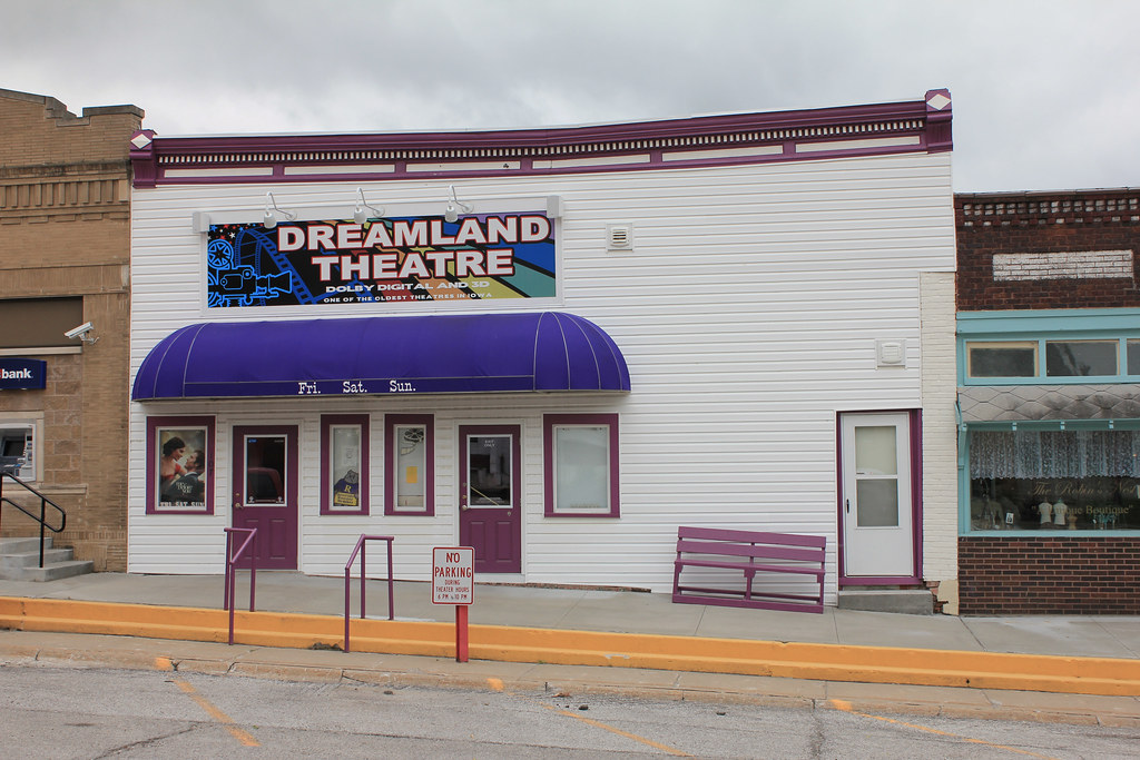
Dreamland Theatre - Carson, IA
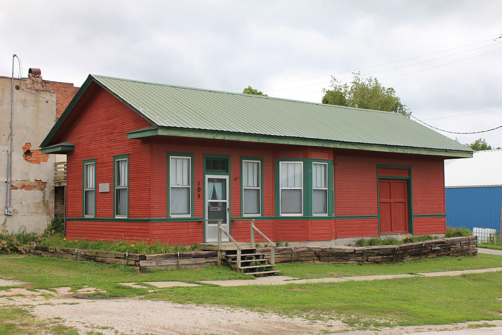
CB&Q Depot - Carson, IA

#Iowa #sunset

#chocolatelab found a #frog #iowa #lilypads #lilypad #slough

#yorkie in #iowa #slough #lilypads #lilypad #yorkshireterrier #yorkiesofinstagram

#iowa #lilypad #bloom #lilypads #slough

#Iowa #sunset

#iowa #lilypad #pod #lilypad #slough

#iowa #lilypads #lilypad #blooms #slough
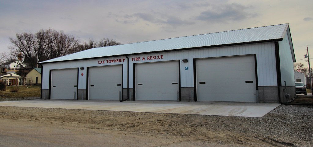
Fire Station - Mineola, IA
E S Equipment - Mineola, IA
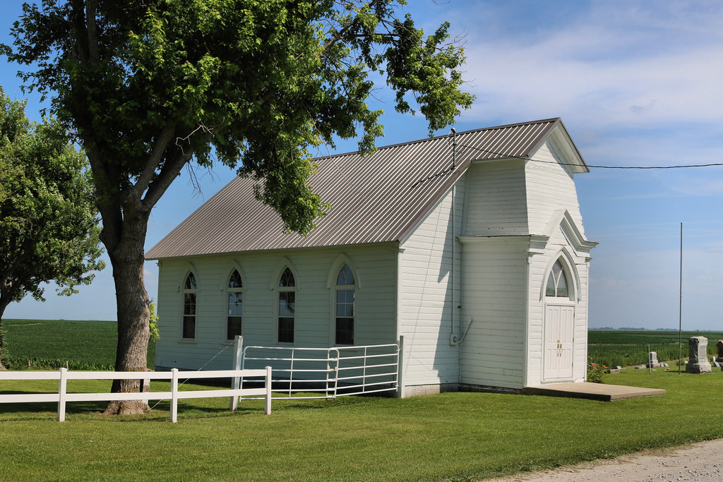
Fairview Pioneer Chapel - rural Oakland, IA
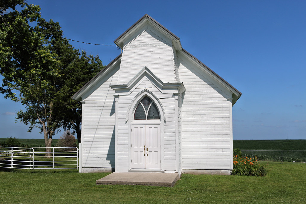
Fairview Pioneer Chapel - rural Oakland, IA
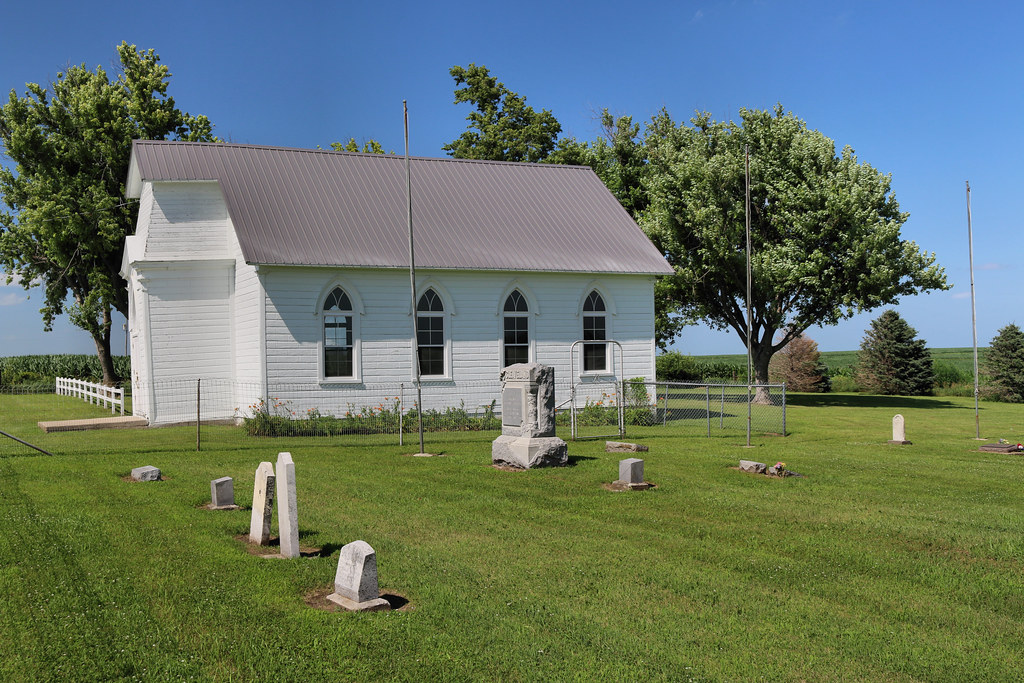
Fairview Pioneer Chapel - rural Oakland, IA
Topographic Map of Silver Creek, IA, USA
Find elevation by address:

Places in Silver Creek, IA, USA:
Places near Silver Creek, IA, USA:
Elmtree Rd, Carson, IA, USA
7 E Main St, Treynor, IA, USA
Treynor
Washington
Carson
Main St, Macedonia, IA, USA
Ingraham
Carson
Broadway St, Carson, IA, USA
30 Myrtle St, Henderson, IA, USA
Oakland Ave, Oakland, IA, USA
Oakland
Indian Creek
James
Pottawattamie County
29451 Jurd Ave
Malvern
Main St, Malvern, IA, USA
27476 390th St
Emerson
Recent Searches:
- Elevation of Congressional Dr, Stevensville, MD, USA
- Elevation of Bellview Rd, McLean, VA, USA
- Elevation of Stage Island Rd, Chatham, MA, USA
- Elevation of Shibuya Scramble Crossing, 21 Udagawacho, Shibuya City, Tokyo -, Japan
- Elevation of Jadagoniai, Kaunas District Municipality, Lithuania
- Elevation of Pagonija rock, Kranto 7-oji g. 8"N, Kaunas, Lithuania
- Elevation of Co Rd 87, Jamestown, CO, USA
- Elevation of Tenjo, Cundinamarca, Colombia
- Elevation of Côte-des-Neiges, Montreal, QC H4A 3J6, Canada
- Elevation of Bobcat Dr, Helena, MT, USA