Elevation of Treynor, IA, USA
Location: United States > Iowa > Pottawattamie County > Silver Creek >
Longitude: -95.613060
Latitude: 41.2324965
Elevation: 369m / 1211feet
Barometric Pressure: 97KPa
Elevation Map:
Satellite Map:
Related Photos:
The view was a bit different when it was time to leave and head back to Continental Drift for Andy to play with Fork in the Road. Just as beautiful as ever though, I imagine there isn't a bad view from here anytime of the day!
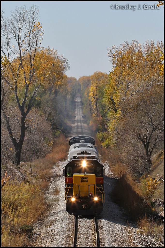
IAIS 702 with Sunday Special - MP 471
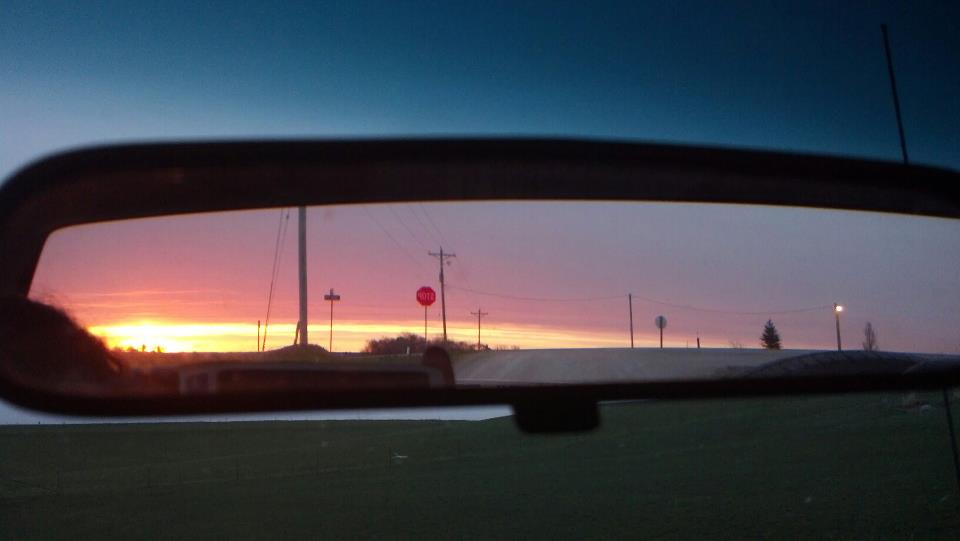
In the Rear View - Elmtree Road

unable to get decent over-the-air coverage of "the victory garden," the tulips pitched in for a dish

iowan hubris
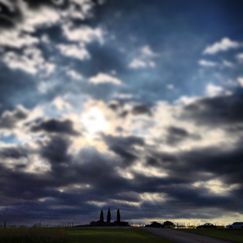
The Nice Part of the Bluffs
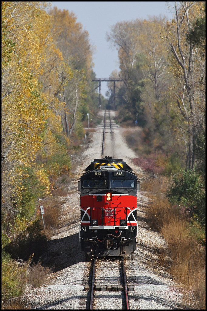
IAIS 513 with Sunday Special - MP 470.5

Bench View 2 Panorama

Letal School - rural Mineola, IA

Bench View Panorama
New York Road Trip Day Three

UP 4726 - Hunt Avenue - Gillait, IA

Landscape_080114_LR-7.jpg
Interstate 80 in Iowa
IMG_5958.JPG
IMG_5957.JPG

DSC_0232.jpg
PICT0002 (Large)
Topographic Map of Treynor, IA, USA
Find elevation by address:

Places in Treynor, IA, USA:
Places near Treynor, IA, USA:
7 E Main St, Treynor, IA, USA
Silver Creek
Washington
Elmtree Rd, Carson, IA, USA
Ingraham
Carson
Main St, Macedonia, IA, USA
Carson
Broadway St, Carson, IA, USA
29451 Jurd Ave
30 Myrtle St, Henderson, IA, USA
Pottawattamie County
James
Neola
Front St, Neola, IA, USA
Malvern
Oakland Ave, Oakland, IA, USA
Oakland
Main St, Malvern, IA, USA
Indian Creek
Recent Searches:
- Elevation of Lampiasi St, Sarasota, FL, USA
- Elevation of Elwyn Dr, Roanoke Rapids, NC, USA
- Elevation of Congressional Dr, Stevensville, MD, USA
- Elevation of Bellview Rd, McLean, VA, USA
- Elevation of Stage Island Rd, Chatham, MA, USA
- Elevation of Shibuya Scramble Crossing, 21 Udagawacho, Shibuya City, Tokyo -, Japan
- Elevation of Jadagoniai, Kaunas District Municipality, Lithuania
- Elevation of Pagonija rock, Kranto 7-oji g. 8"N, Kaunas, Lithuania
- Elevation of Co Rd 87, Jamestown, CO, USA
- Elevation of Tenjo, Cundinamarca, Colombia