Elevation of Jurd Ave, Malvern, IA, USA
Location: United States > Iowa > Mills County > Malvern >
Longitude: -95.624912
Latitude: 41.0298897
Elevation: -10000m / -32808feet
Barometric Pressure: 295KPa
Elevation Map:
Satellite Map:
Related Photos:

Marna on ATV

First Christian Church - Glenwood, IA

A View fit for Royalty

First Christian Church - Glenwood, IA
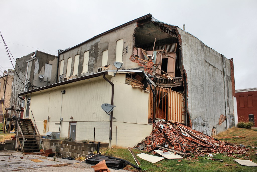
W.F. Laraway Building (rear view) - Glenwood, IA

First Christian Church - Glenwood, IA

First Christian Church - Glenwood, IA

Letal School - rural Mineola, IA

The view was a bit different when it was time to leave and head back to Continental Drift for Andy to play with Fork in the Road. Just as beautiful as ever though, I imagine there isn't a bad view from here anytime of the day!

fairview cemetery

Wesley Chapel Cemetery - rural Hastings, IA

Day 1

Silver City, Iowa

IMG_8151.JPG

IMG_8138.JPG

Ragbrai 2016 starting camp

IMG_8145.JPG

IMG_8136.JPG

5 Sep 2013

5 Sep 2013

5 Sep 2013
Topographic Map of Jurd Ave, Malvern, IA, USA
Find elevation by address:

Places near Jurd Ave, Malvern, IA, USA:
Malvern
Main St, Malvern, IA, USA
Ingraham
Randolph
S Main St, Randolph, IA, USA
Indian Creek
Silver Creek
Riverside
Treynor
7 E Main St, Treynor, IA, USA
Emerson
30 Myrtle St, Henderson, IA, USA
Howland St, Emerson, IA, USA
Monroe
Imogene
1st St, Imogene, IA, USA
Main St, Macedonia, IA, USA
Elmtree Rd, Carson, IA, USA
Washington
Carson
Recent Searches:
- Elevation of Jadagoniai, Kaunas District Municipality, Lithuania
- Elevation of Pagonija rock, Kranto 7-oji g. 8"N, Kaunas, Lithuania
- Elevation of Co Rd 87, Jamestown, CO, USA
- Elevation of Tenjo, Cundinamarca, Colombia
- Elevation of Côte-des-Neiges, Montreal, QC H4A 3J6, Canada
- Elevation of Bobcat Dr, Helena, MT, USA
- Elevation of Zu den Ihlowbergen, Althüttendorf, Germany
- Elevation of Badaber, Peshawar, Khyber Pakhtunkhwa, Pakistan
- Elevation of SE Heron Loop, Lincoln City, OR, USA
- Elevation of Slanický ostrov, 01 Námestovo, Slovakia