Elevation of Indian Creek, IA, USA
Location: United States > Iowa > Mills County >
Longitude: -95.456813
Latitude: 41.0514489
Elevation: 351m / 1152feet
Barometric Pressure: 97KPa
Elevation Map:
Satellite Map:
Related Photos:
RI038142.JPG

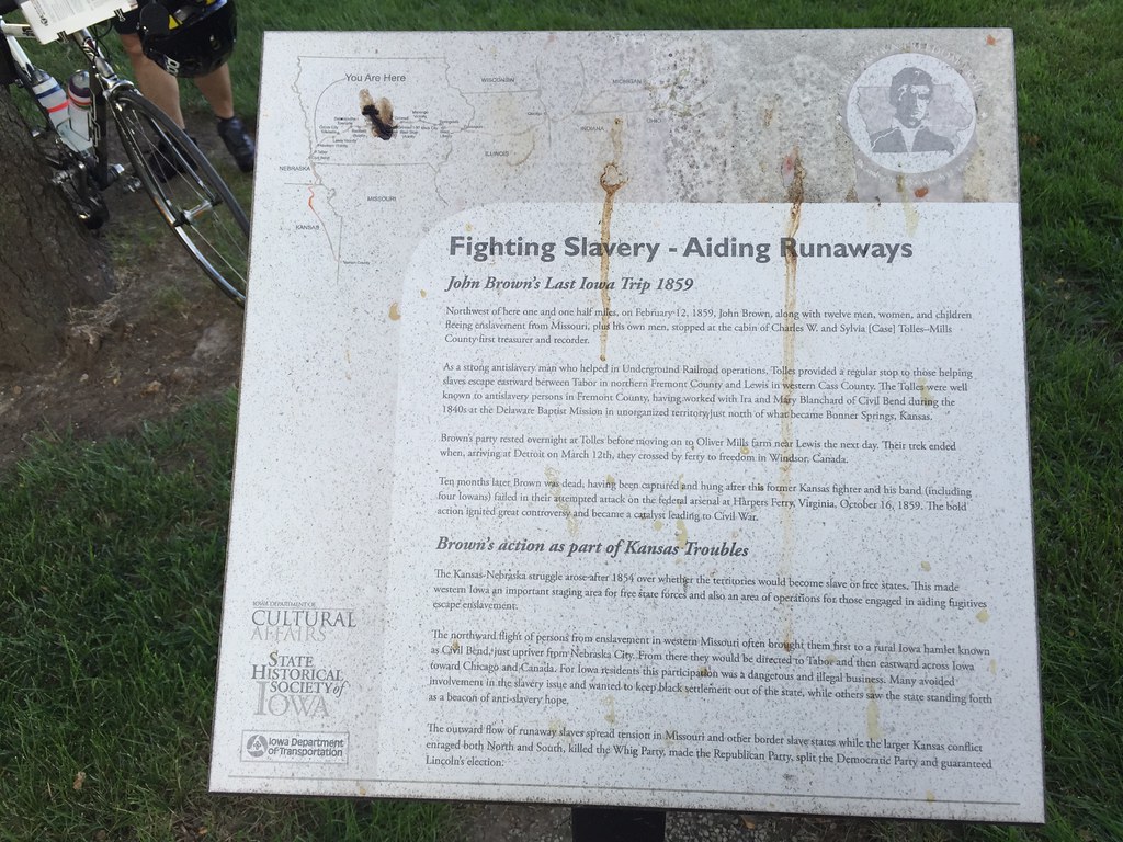
Wesley Chapel Cemetery - rural Hastings, IA

West Nishnabotna River

#Iowa #sign #slough

#iowa #lilypads #lilypad #slough

#iowa #field of #lilypads #lilypad #blooms #slough

RAGBRAI 2016

RAGBRAI 2016
RAGBRAI 2016
RAGBRAI 2016
RAGBRAI 2016

#Iowa #sunset

#chocolatelab found a #frog #iowa #lilypads #lilypad #slough

#yorkie in #iowa #slough #lilypads #lilypad #yorkshireterrier #yorkiesofinstagram

#iowa #lilypad #bloom #lilypads #slough

#Iowa #sunset

#iowa #lilypad #pod #lilypad #slough

#iowa #lilypads #lilypad #blooms #slough
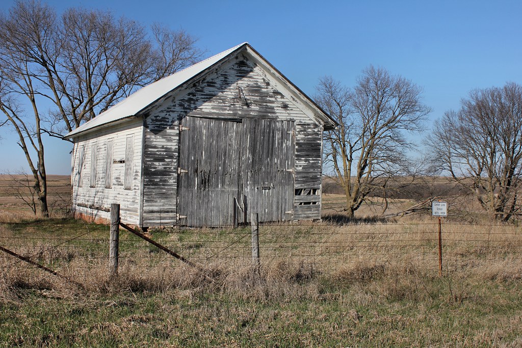
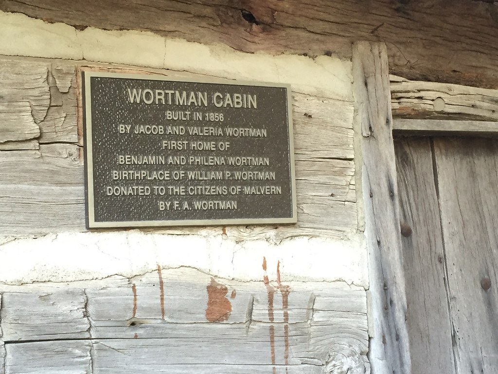
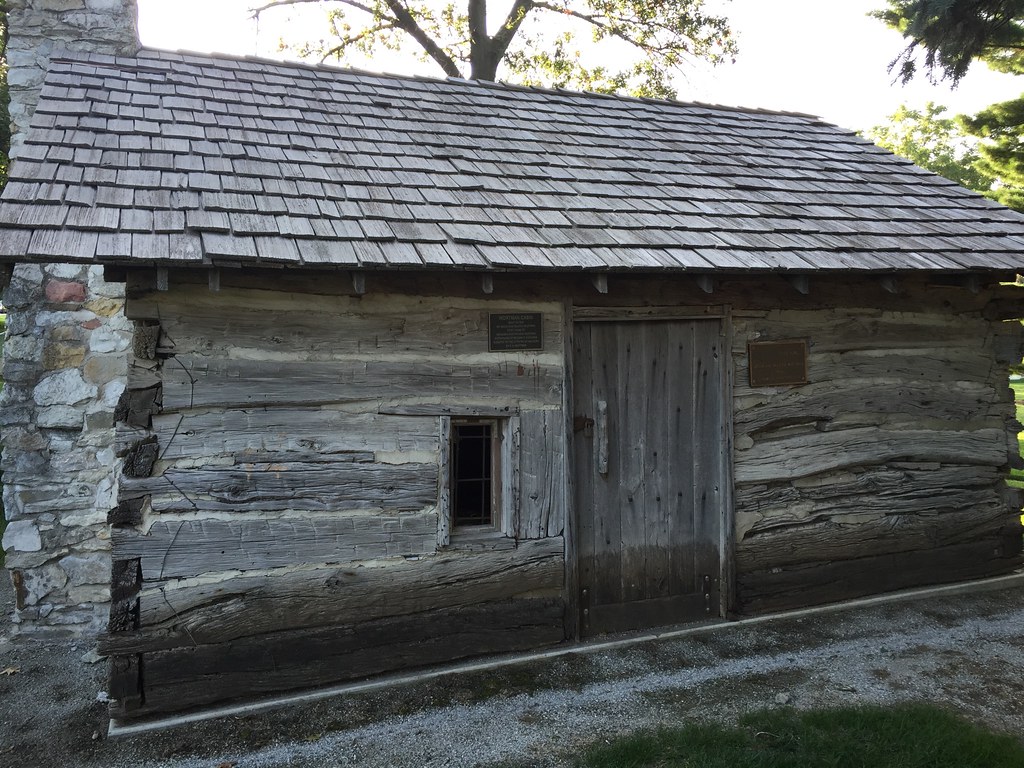
Centerline School - Malvern, IA
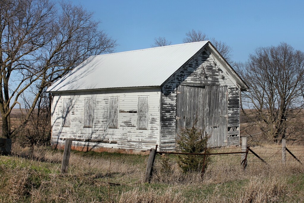
Centerline School - Malvern, IA
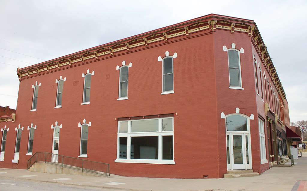
First National Bank Block - Malvern, IA
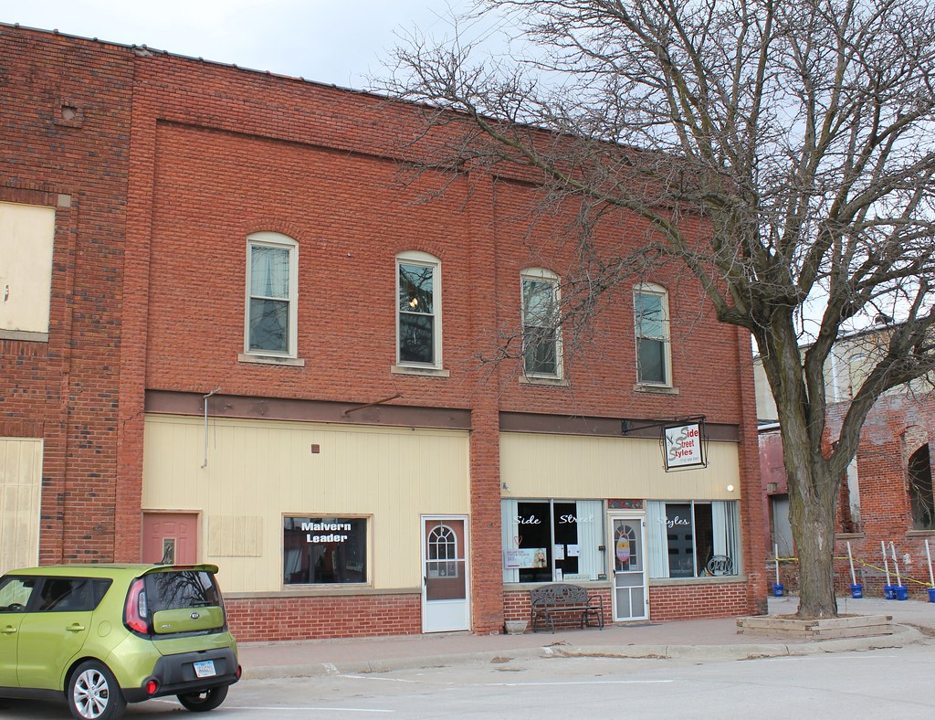
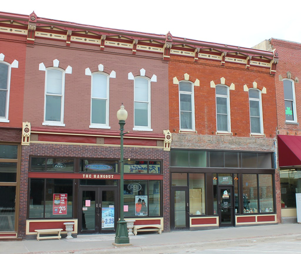
Downtown Building - Malvern, IA
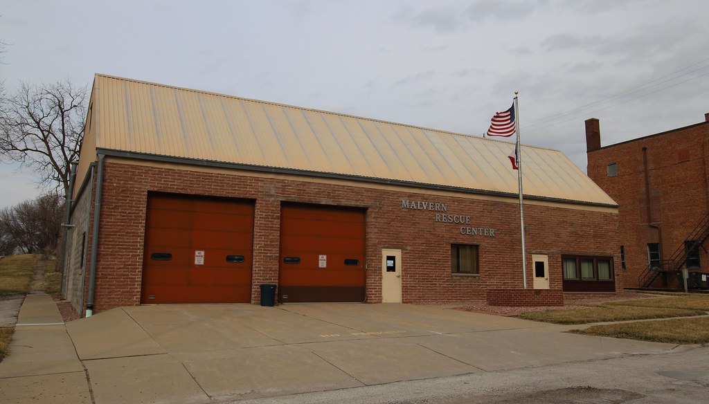
Malvern Rescue Center - Malvern, IA
First National Bank Block - Malvern, IA
Topographic Map of Indian Creek, IA, USA
Find elevation by address:

Places in Indian Creek, IA, USA:
Places near Indian Creek, IA, USA:
Emerson
Howland St, Emerson, IA, USA
30 Myrtle St, Henderson, IA, USA
Malvern
Main St, Malvern, IA, USA
Main St, Macedonia, IA, USA
29451 Jurd Ave
Imogene
1st St, Imogene, IA, USA
Silver Creek
Ingraham
Carson
Broadway St, Carson, IA, USA
Carson
Monroe
Randolph
S Main St, Randolph, IA, USA
Riverside
Elmtree Rd, Carson, IA, USA
N 6th St, Red Oak, IA, USA
Recent Searches:
- Elevation of Hercules Dr, Colorado Springs, CO, USA
- Elevation of Szlak pieszy czarny, Poland
- Elevation of Griffing Blvd, Biscayne Park, FL, USA
- Elevation of Kreuzburger Weg 13, Düsseldorf, Germany
- Elevation of Gateway Blvd SE, Canton, OH, USA
- Elevation of East W.T. Harris Boulevard, E W.T. Harris Blvd, Charlotte, NC, USA
- Elevation of West Sugar Creek, Charlotte, NC, USA
- Elevation of Wayland, NY, USA
- Elevation of Steadfast Ct, Daphne, AL, USA
- Elevation of Lagasgasan, X+CQH, Tiaong, Quezon, Philippines