Elevation of Washington, IA, USA
Location: United States > Iowa > Pottawattamie County >
Longitude: -95.540729
Latitude: 41.28815
Elevation: 374m / 1227feet
Barometric Pressure: 97KPa
Elevation Map:
Satellite Map:
Related Photos:
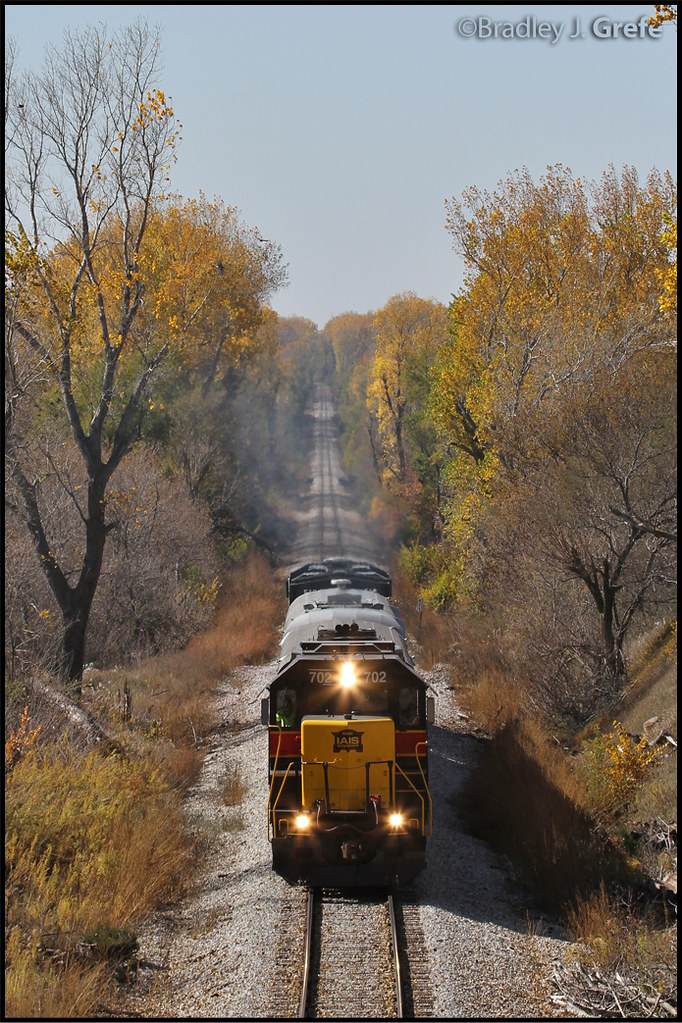
IAIS 702 with Sunday Special - MP 471
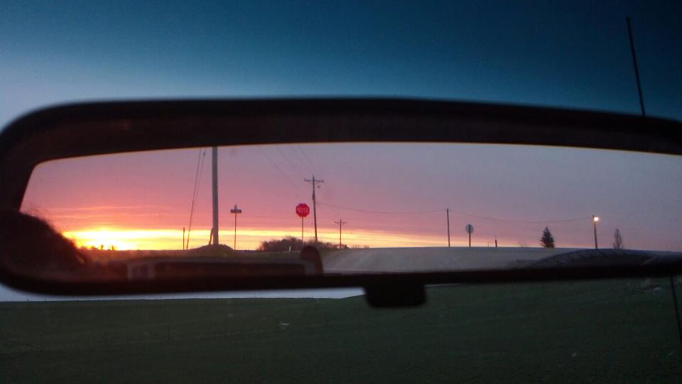
In the Rear View - Elmtree Road

unable to get decent over-the-air coverage of "the victory garden," the tulips pitched in for a dish

iowan hubris
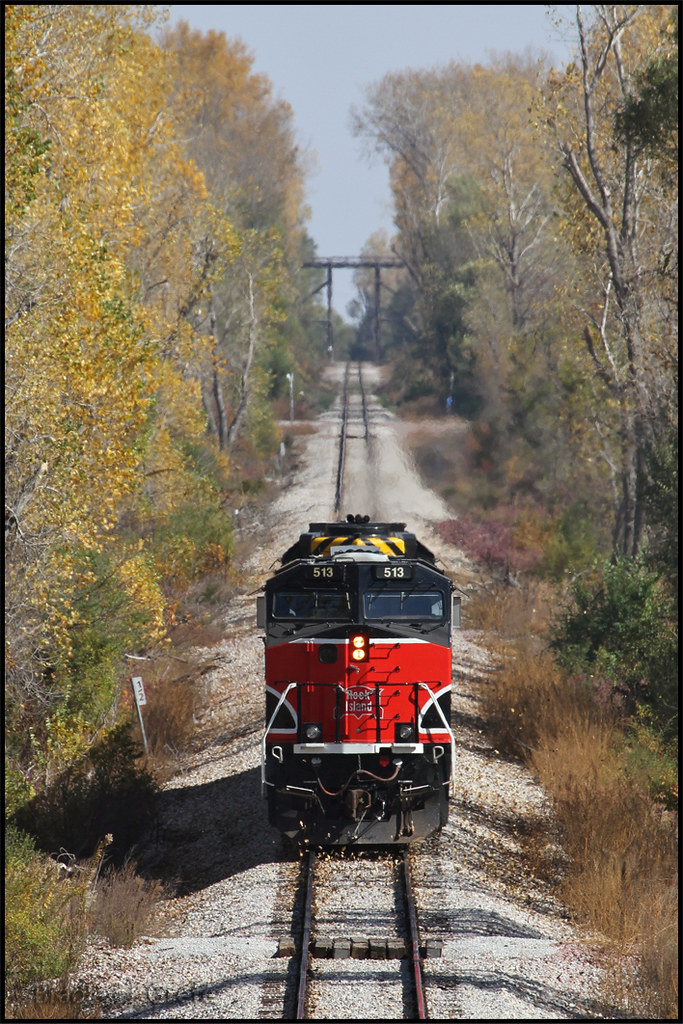
IAIS 513 with Sunday Special - MP 470.5
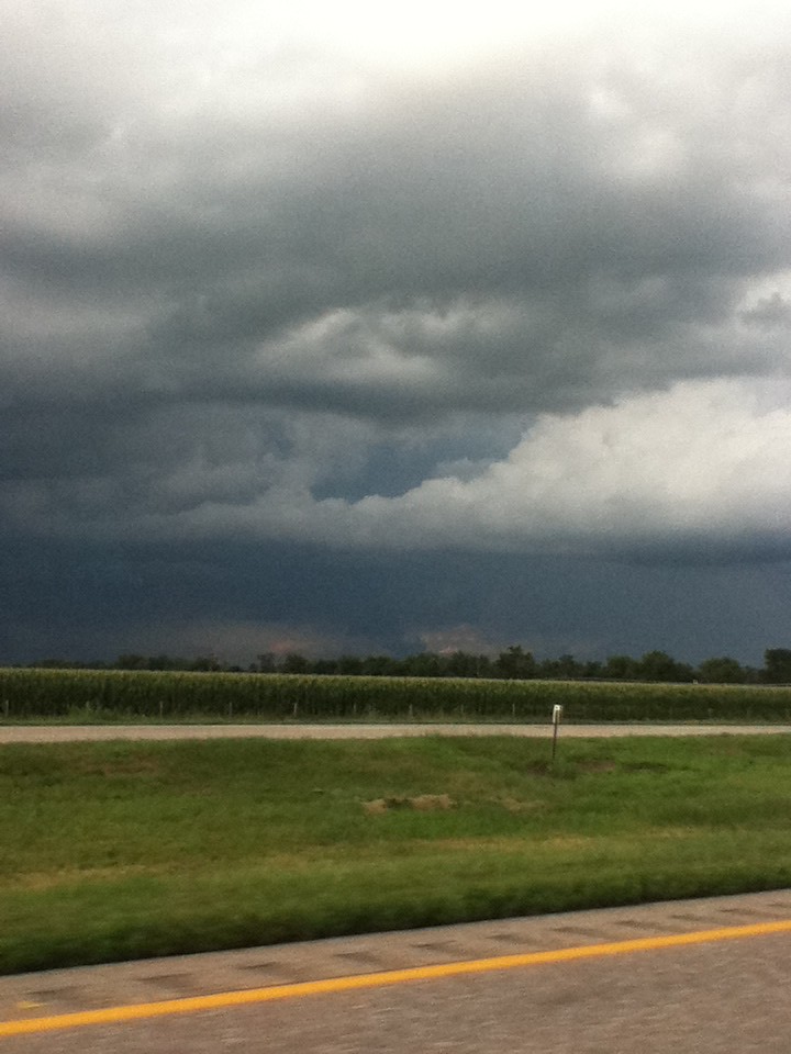
Cruising through western Iowa
New York Road Trip Day Three

big grove village church
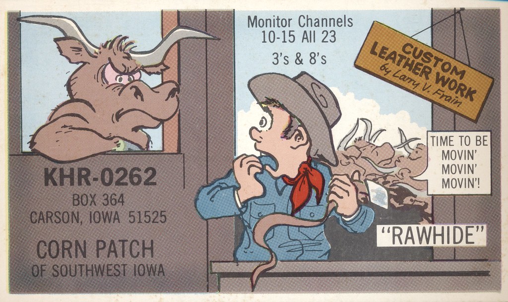
Rawhide - Carson, Iowa
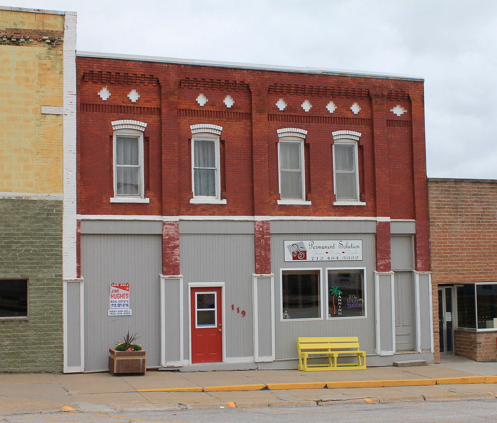
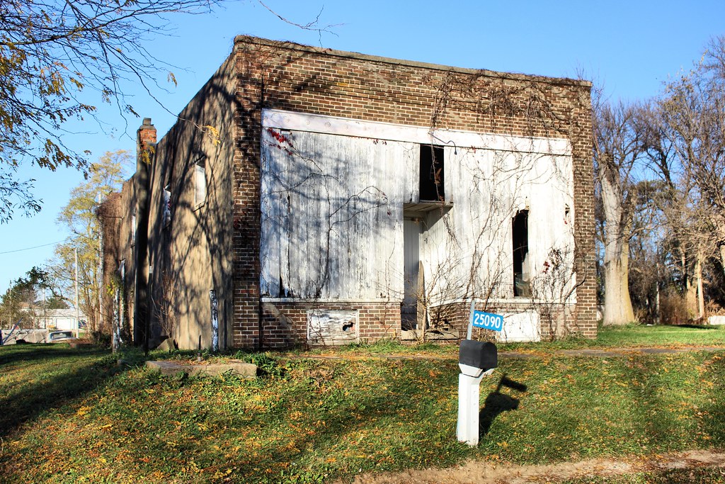
Downtown Building - Carson, IA
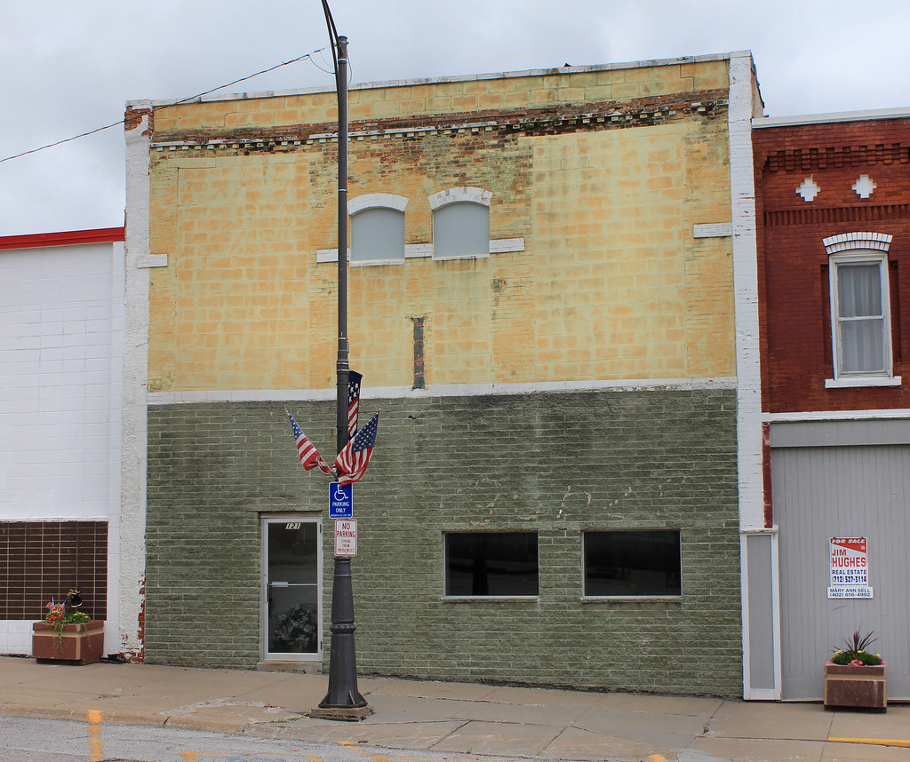
Downtown Building - Carson, IA
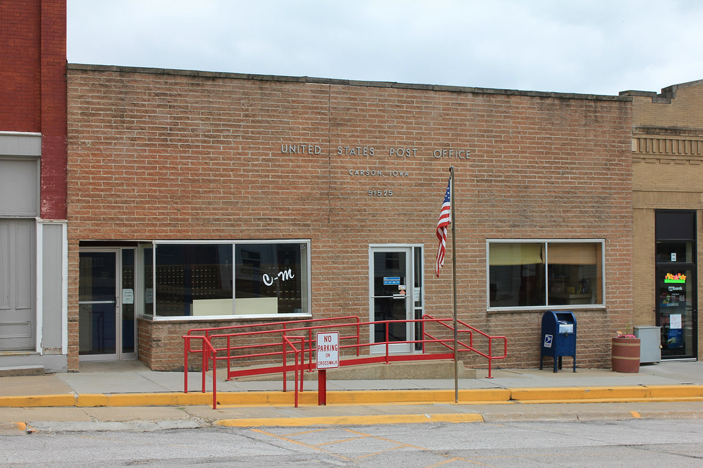
Post Office - Carson, IA
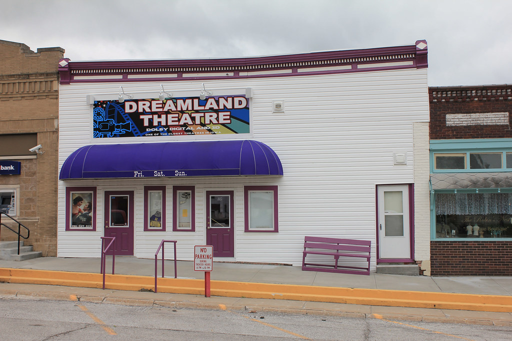
Dreamland Theatre - Carson, IA
CB&Q Depot - Carson, IA
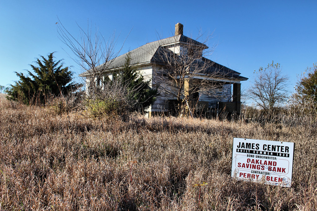
James Center School - rural Hancock, IA
Storefront - Bentley, IA
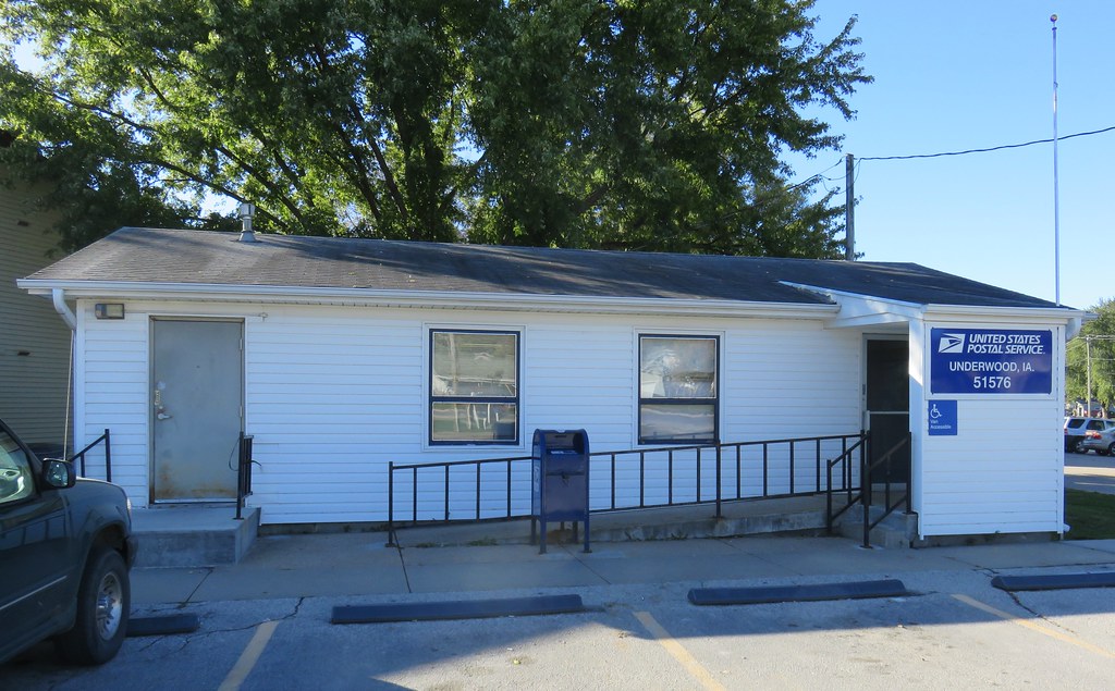
Post Office 51576 (Underwood, Iowa)
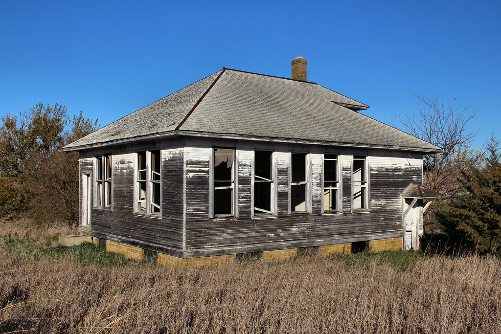
James Center School - rural Hancock, IA
Topographic Map of Washington, IA, USA
Find elevation by address:

Places in Washington, IA, USA:
Places near Washington, IA, USA:
Elmtree Rd, Carson, IA, USA
Silver Creek
7 E Main St, Treynor, IA, USA
Treynor
Carson
James
Pottawattamie County
Carson
Broadway St, Carson, IA, USA
Oakland Ave, Oakland, IA, USA
Oakland
Main St, Macedonia, IA, USA
27476 390th St
Neola
Front St, Neola, IA, USA
2nd St, Minden, IA, USA
30 Myrtle St, Henderson, IA, USA
Ingraham
Hancock
Valley
Recent Searches:
- Elevation of Lampiasi St, Sarasota, FL, USA
- Elevation of Elwyn Dr, Roanoke Rapids, NC, USA
- Elevation of Congressional Dr, Stevensville, MD, USA
- Elevation of Bellview Rd, McLean, VA, USA
- Elevation of Stage Island Rd, Chatham, MA, USA
- Elevation of Shibuya Scramble Crossing, 21 Udagawacho, Shibuya City, Tokyo -, Japan
- Elevation of Jadagoniai, Kaunas District Municipality, Lithuania
- Elevation of Pagonija rock, Kranto 7-oji g. 8"N, Kaunas, Lithuania
- Elevation of Co Rd 87, Jamestown, CO, USA
- Elevation of Tenjo, Cundinamarca, Colombia