Elevation of th St, Hancock, IA, USA
Location: United States > Iowa > Pottawattamie County > James >
Longitude: -95.442306
Latitude: 41.411571
Elevation: 374m / 1227feet
Barometric Pressure: 97KPa
Elevation Map:
Satellite Map:
Related Photos:

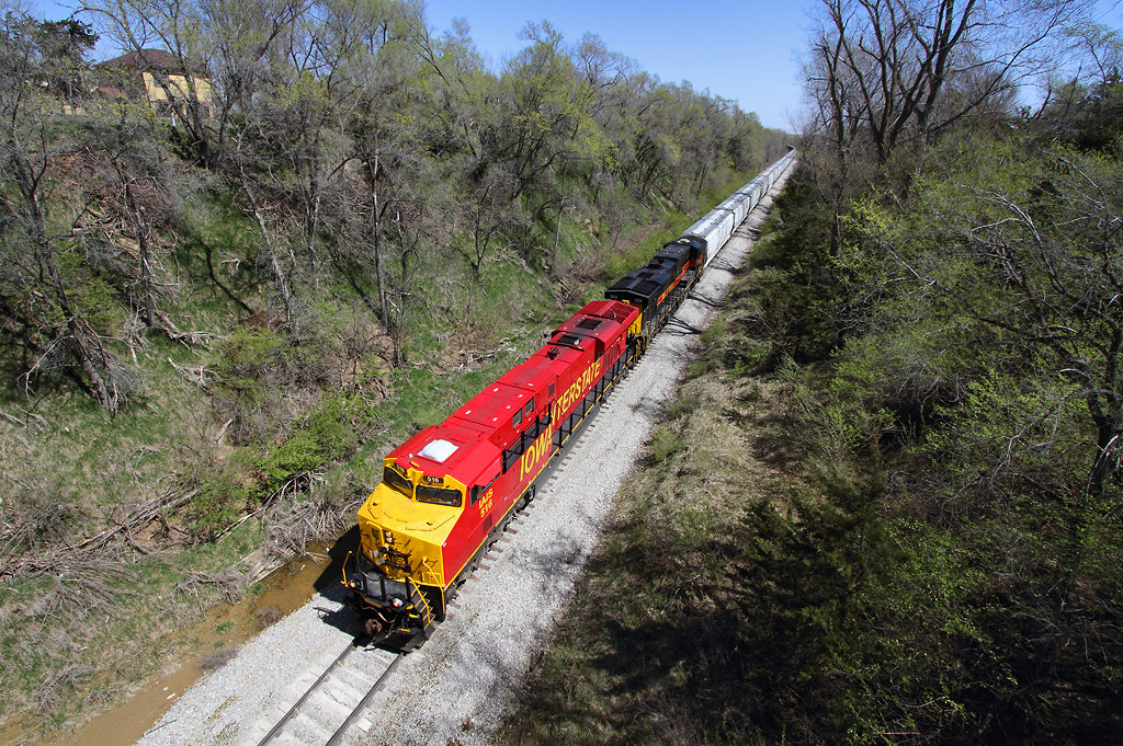
IAIS 702 with Sunday Special - MP 471
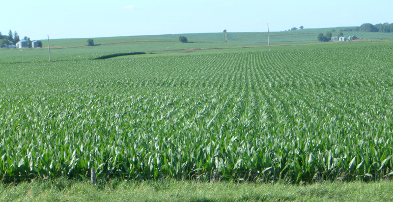
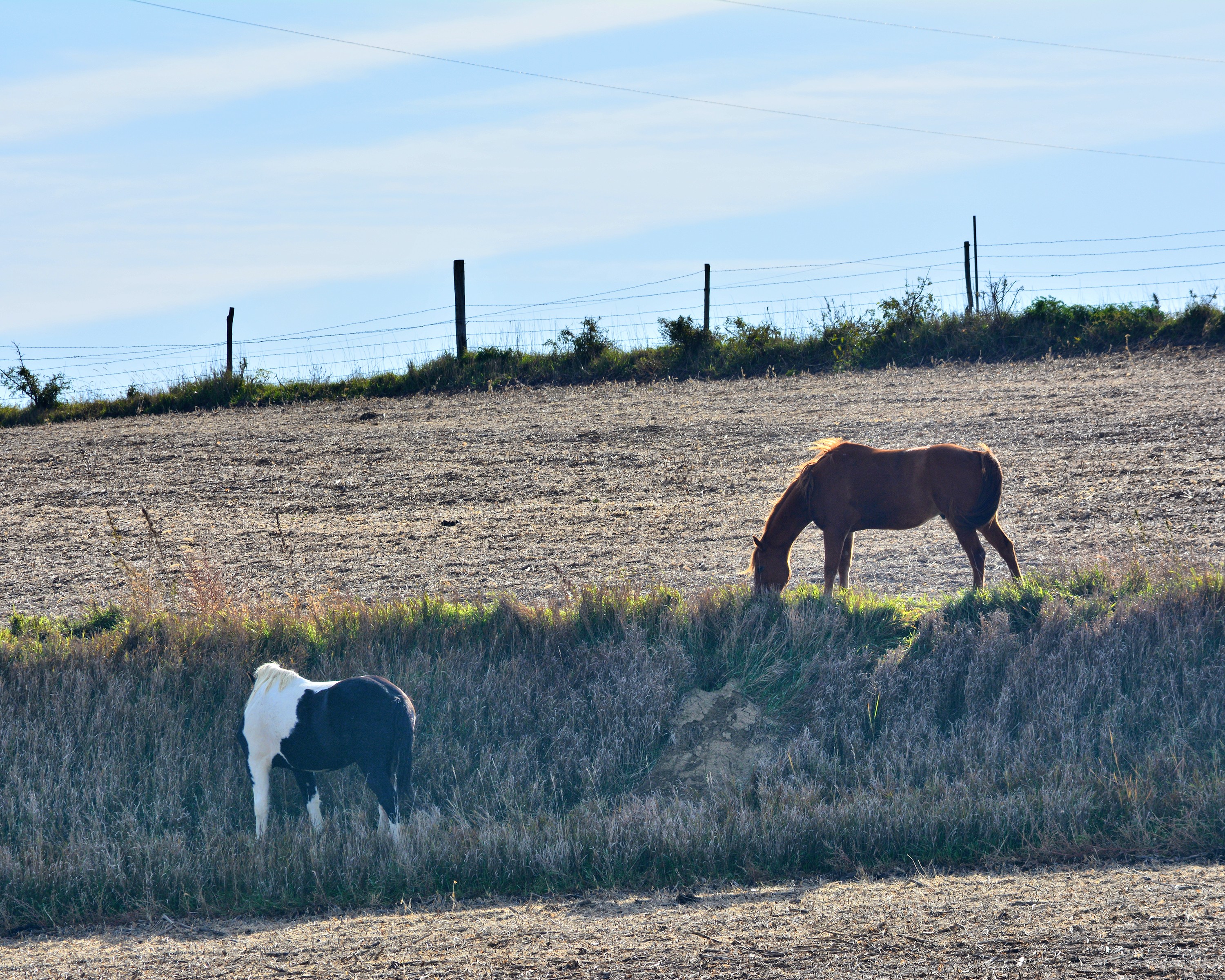
Corn on I-29
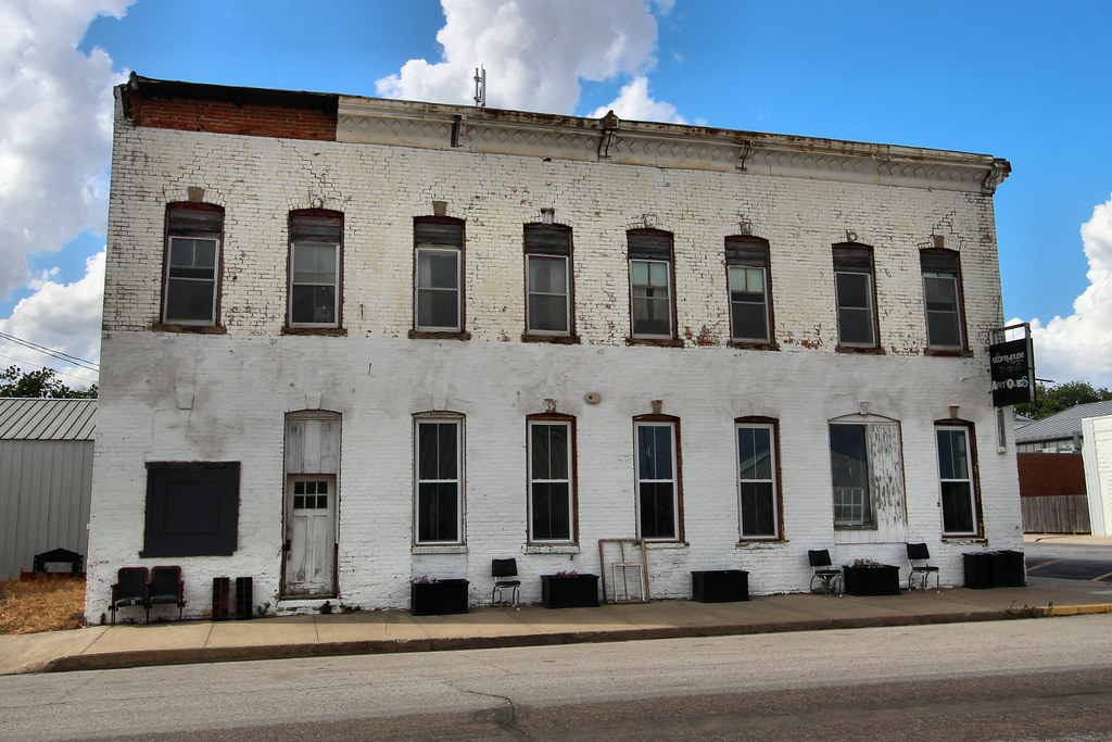
Union Hotel - Neola, IA
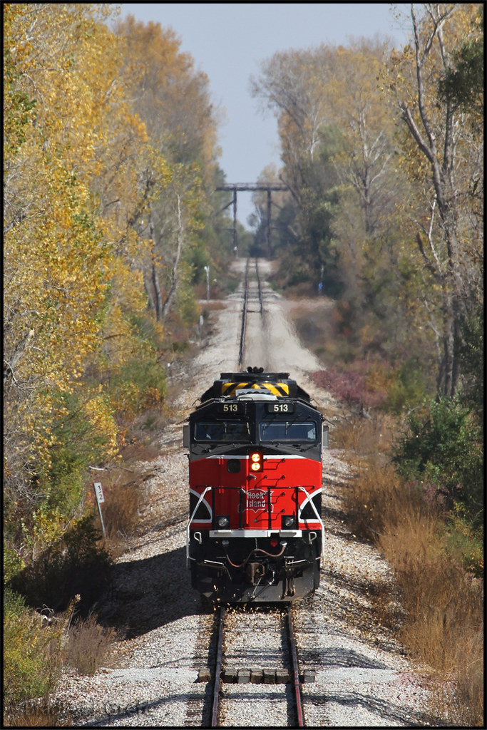
IAIS 513 with Sunday Special - MP 470.5
101914-329F
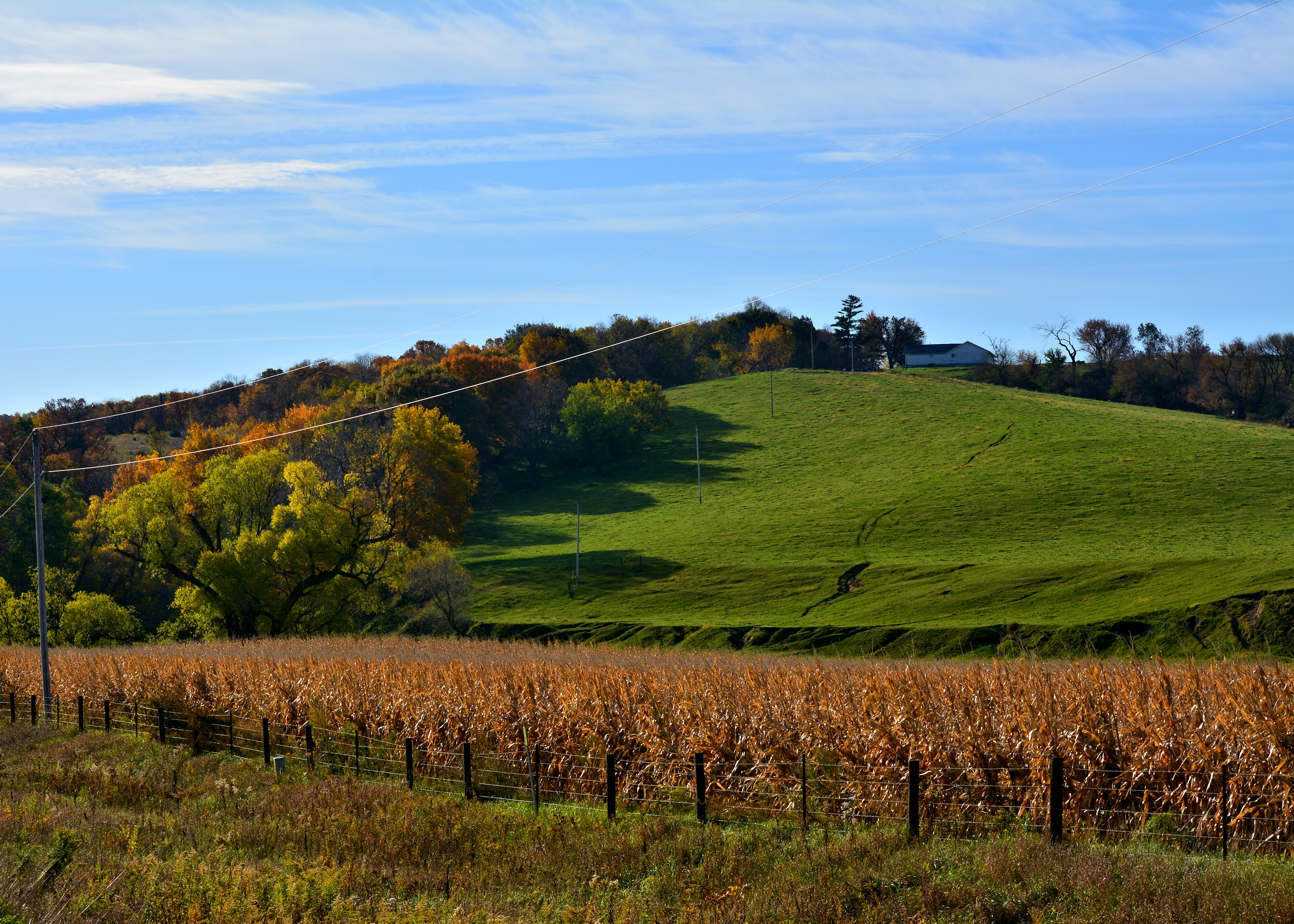
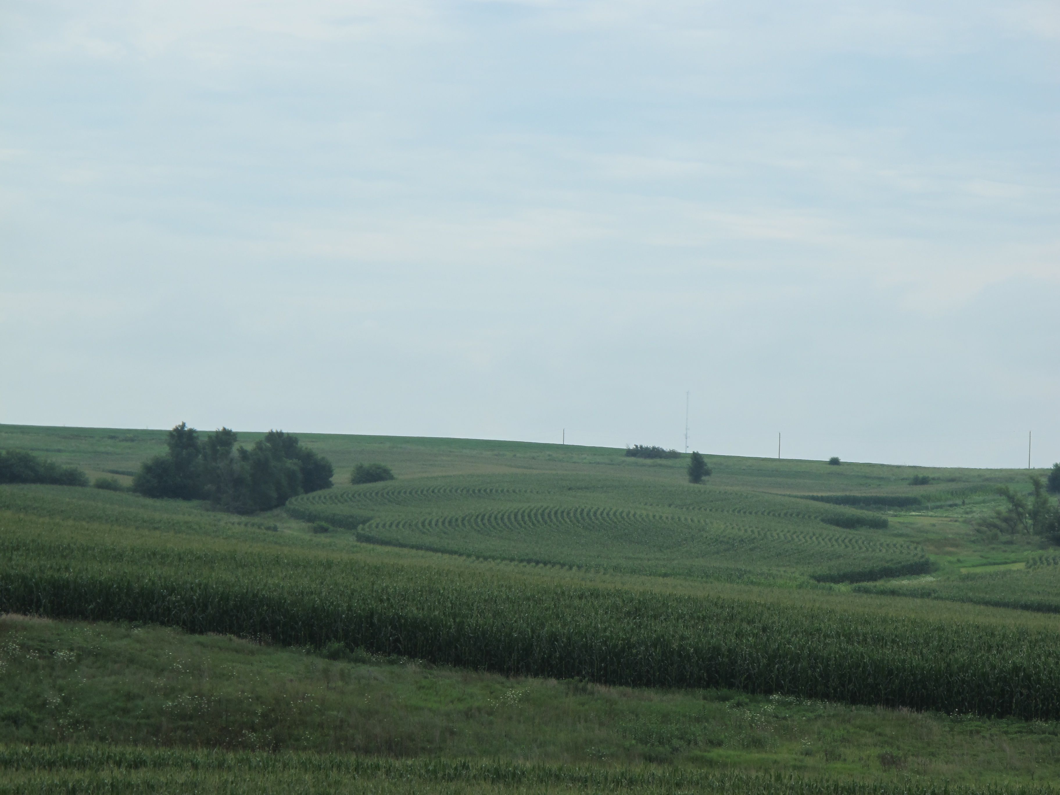
Cruising through western Iowa

Bike Trail
101914-334F

101914-332F

Camera Roll-20

Camera Roll-146

Ladies and Gentlemen, welcome to the Main Stage... Miss Amber Waves. Avoca, IA

#sunset over #Iowa . #LostAmericana

Avoca Iowa
Same old, same old....

big grove village church

Iowa, Pottawattamie County
Topographic Map of th St, Hancock, IA, USA
Find elevation by address:

Places near th St, Hancock, IA, USA:
Pottawattamie County
James
Hancock
Oakland
Oakland Ave, Oakland, IA, USA
2nd St, Minden, IA, USA
Valley
Knox
452 S Walnut St
1141 S Walnut St
451 S Walnut St
N Walnut St, Avoca, IA, USA
Avoca
31225 460th St
47053 Pinoak Rd
Washington
Elmtree Rd, Carson, IA, USA
Carson
Shelby
Fairview
Recent Searches:
- Elevation of Shibuya Scramble Crossing, 21 Udagawacho, Shibuya City, Tokyo -, Japan
- Elevation of Jadagoniai, Kaunas District Municipality, Lithuania
- Elevation of Pagonija rock, Kranto 7-oji g. 8"N, Kaunas, Lithuania
- Elevation of Co Rd 87, Jamestown, CO, USA
- Elevation of Tenjo, Cundinamarca, Colombia
- Elevation of Côte-des-Neiges, Montreal, QC H4A 3J6, Canada
- Elevation of Bobcat Dr, Helena, MT, USA
- Elevation of Zu den Ihlowbergen, Althüttendorf, Germany
- Elevation of Badaber, Peshawar, Khyber Pakhtunkhwa, Pakistan
- Elevation of SE Heron Loop, Lincoln City, OR, USA