Elevation of James, IA, USA
Location: United States > Iowa > Pottawattamie County >
Longitude: -95.456813
Latitude: 41.3721619
Elevation: 345m / 1132feet
Barometric Pressure: 97KPa
Elevation Map:
Satellite Map:
Related Photos:

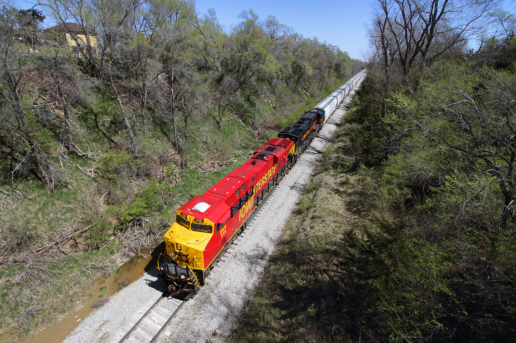
IAIS 702 with Sunday Special - MP 471
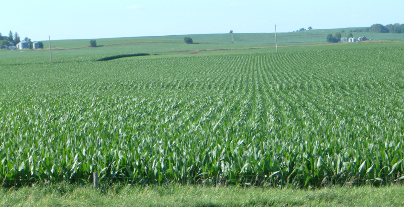
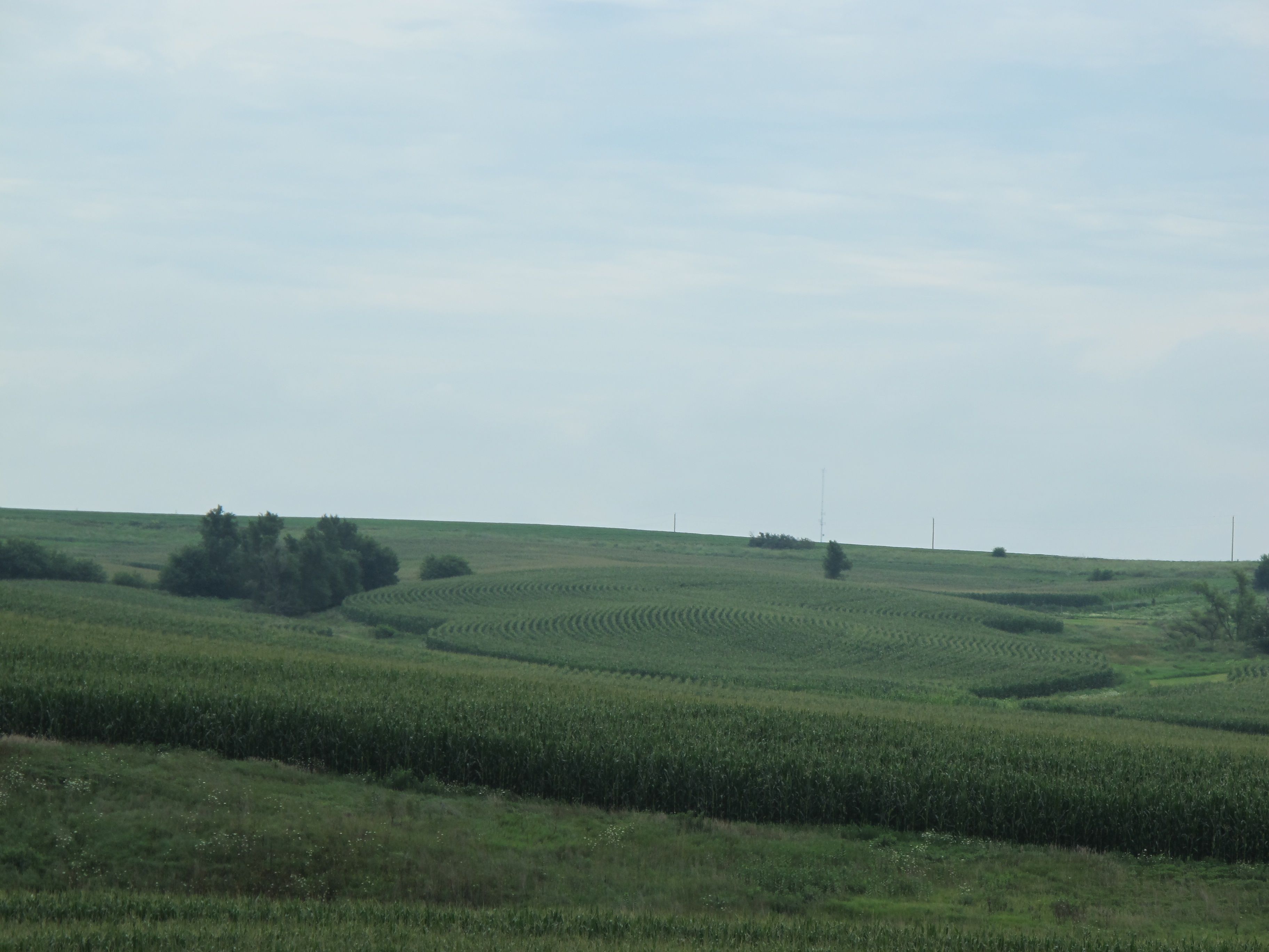
Corn on I-29
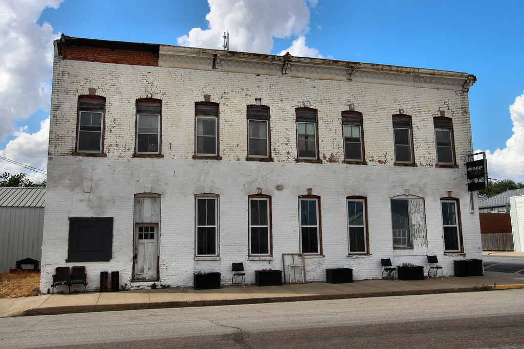
Union Hotel - Neola, IA
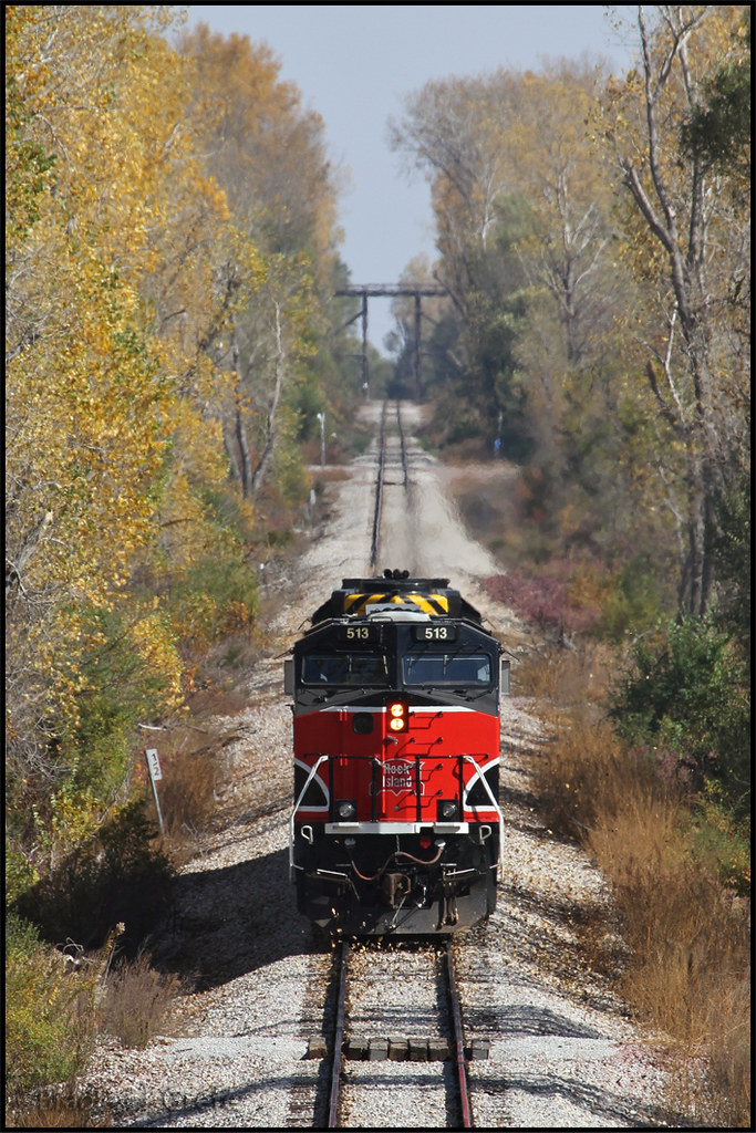
IAIS 513 with Sunday Special - MP 470.5

In the Rear View - Elmtree Road
101914-329F
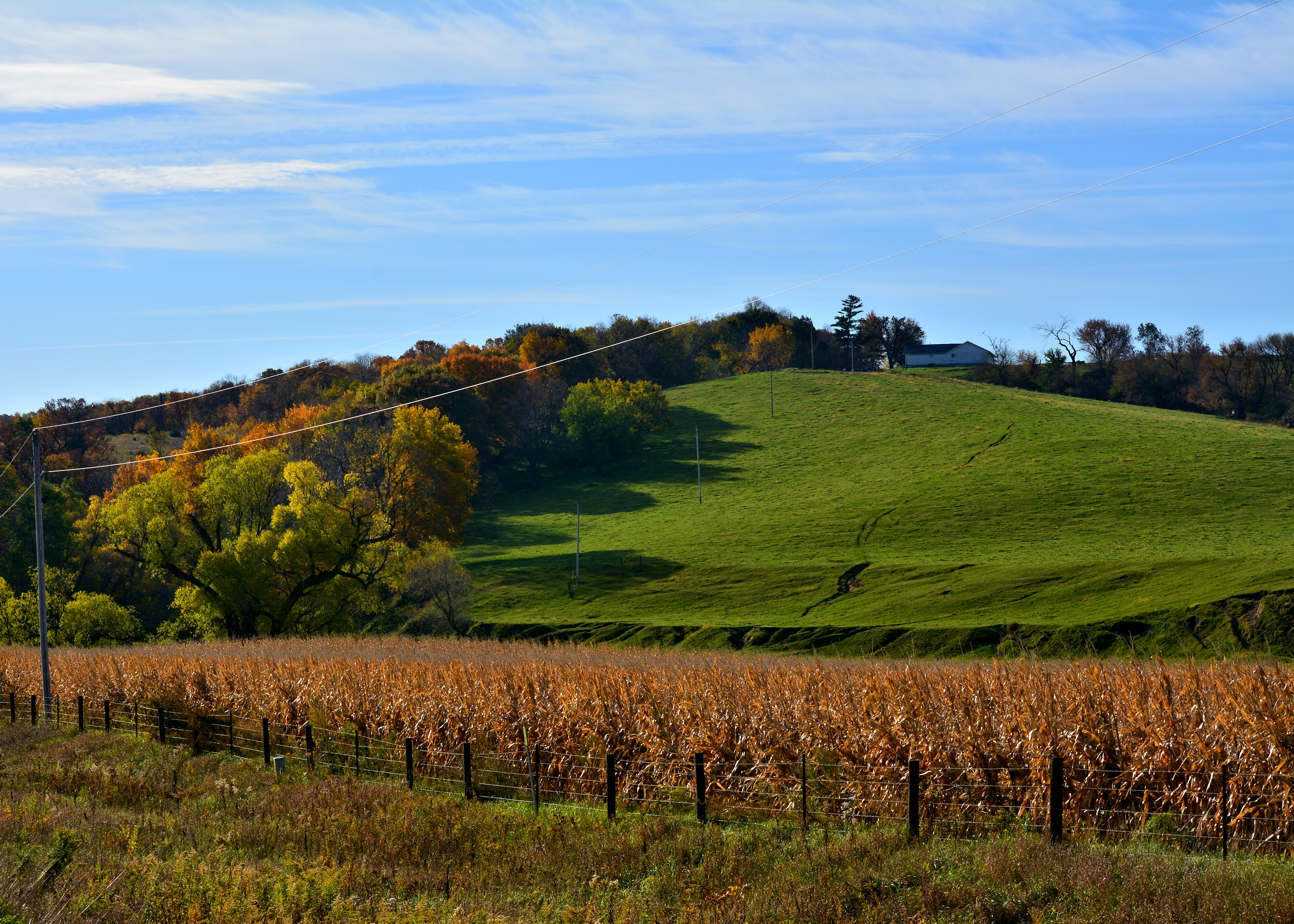
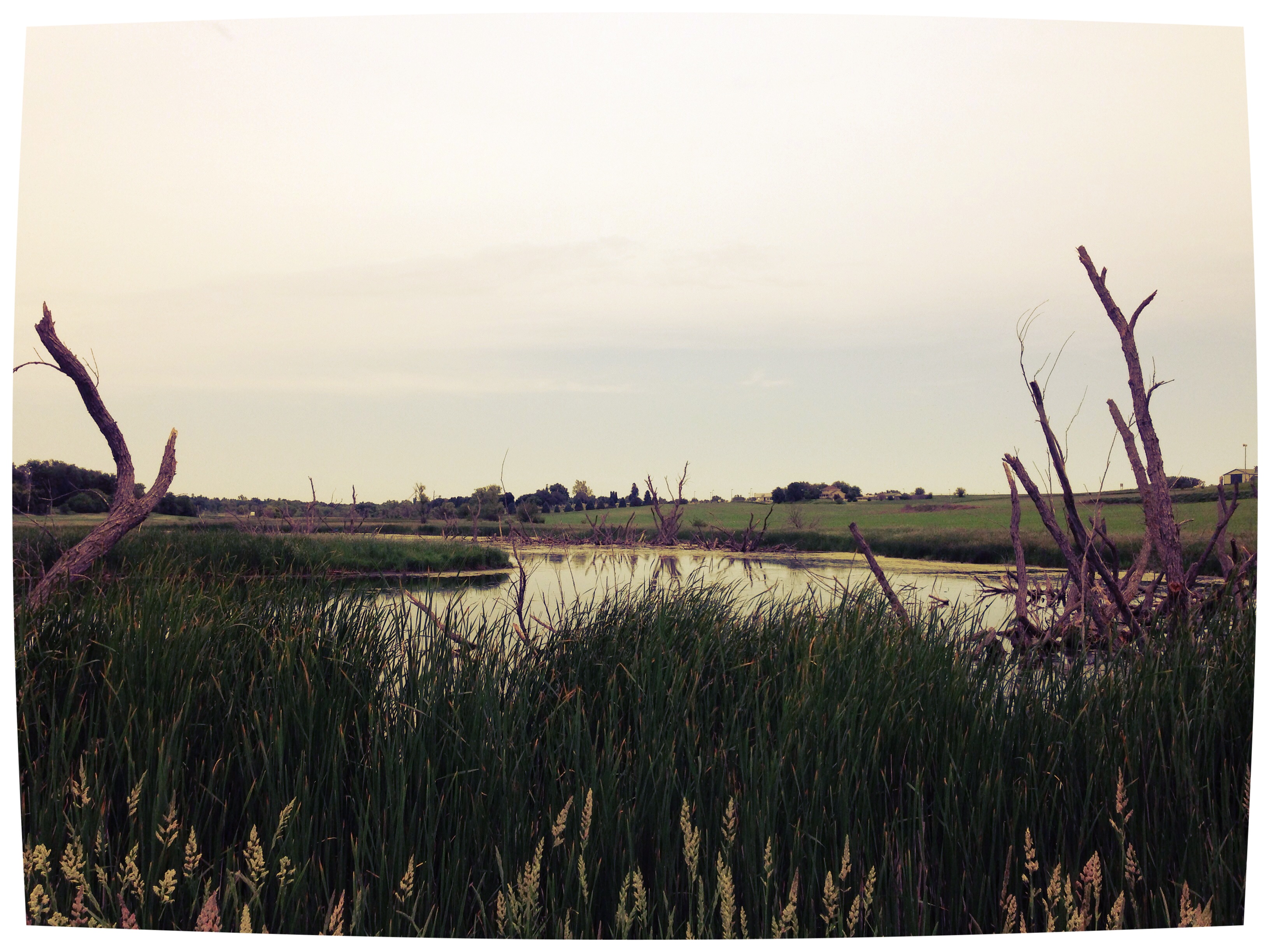
Cruising through western Iowa
Bike Trail
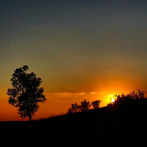
#sunset over #Iowa . #LostAmericana
101914-334F

101914-332F
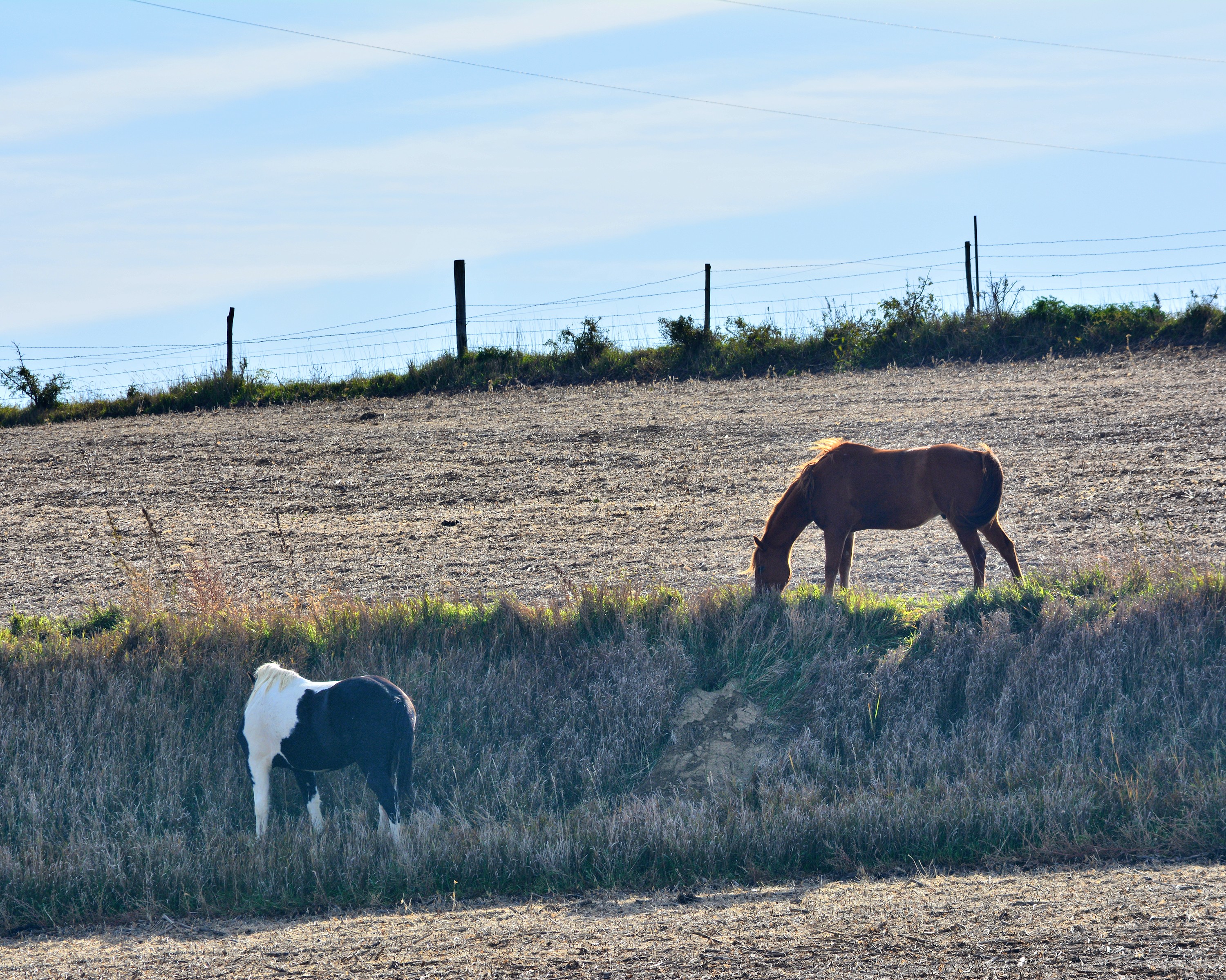
Same old, same old....

big grove village church
Topographic Map of James, IA, USA
Find elevation by address:

Places near James, IA, USA:
Pottawattamie County
27476 390th St
Oakland Ave, Oakland, IA, USA
Oakland
Hancock
Elmtree Rd, Carson, IA, USA
Washington
Carson
Valley
2nd St, Minden, IA, USA
Broadway St, Carson, IA, USA
Carson
Knox
1141 S Walnut St
452 S Walnut St
451 S Walnut St
N Walnut St, Avoca, IA, USA
Avoca
47053 Pinoak Rd
Neola
Recent Searches:
- Elevation of Mamala II, Sariaya, Quezon, Philippines
- Elevation of Sarangdanda, Nepal
- Elevation of 7 Waterfall Way, Tomball, TX, USA
- Elevation of SW 57th Ave, Portland, OR, USA
- Elevation of Crocker Dr, Vacaville, CA, USA
- Elevation of Pu Ngaol Community Meeting Hall, HWHM+3X7, Krong Saen Monourom, Cambodia
- Elevation of Royal Ontario Museum, Queens Park, Toronto, ON M5S 2C6, Canada
- Elevation of Groblershoop, South Africa
- Elevation of Power Generation Enterprises | Industrial Diesel Generators, Oak Ave, Canyon Country, CA, USA
- Elevation of Chesaw Rd, Oroville, WA, USA