Elevation of Oakland, IA, USA
Location: United States > Iowa > Pottawattamie County >
Longitude: -95.395799
Latitude: 41.3094375
Elevation: 349m / 1145feet
Barometric Pressure: 97KPa
Elevation Map:
Satellite Map:
Related Photos:
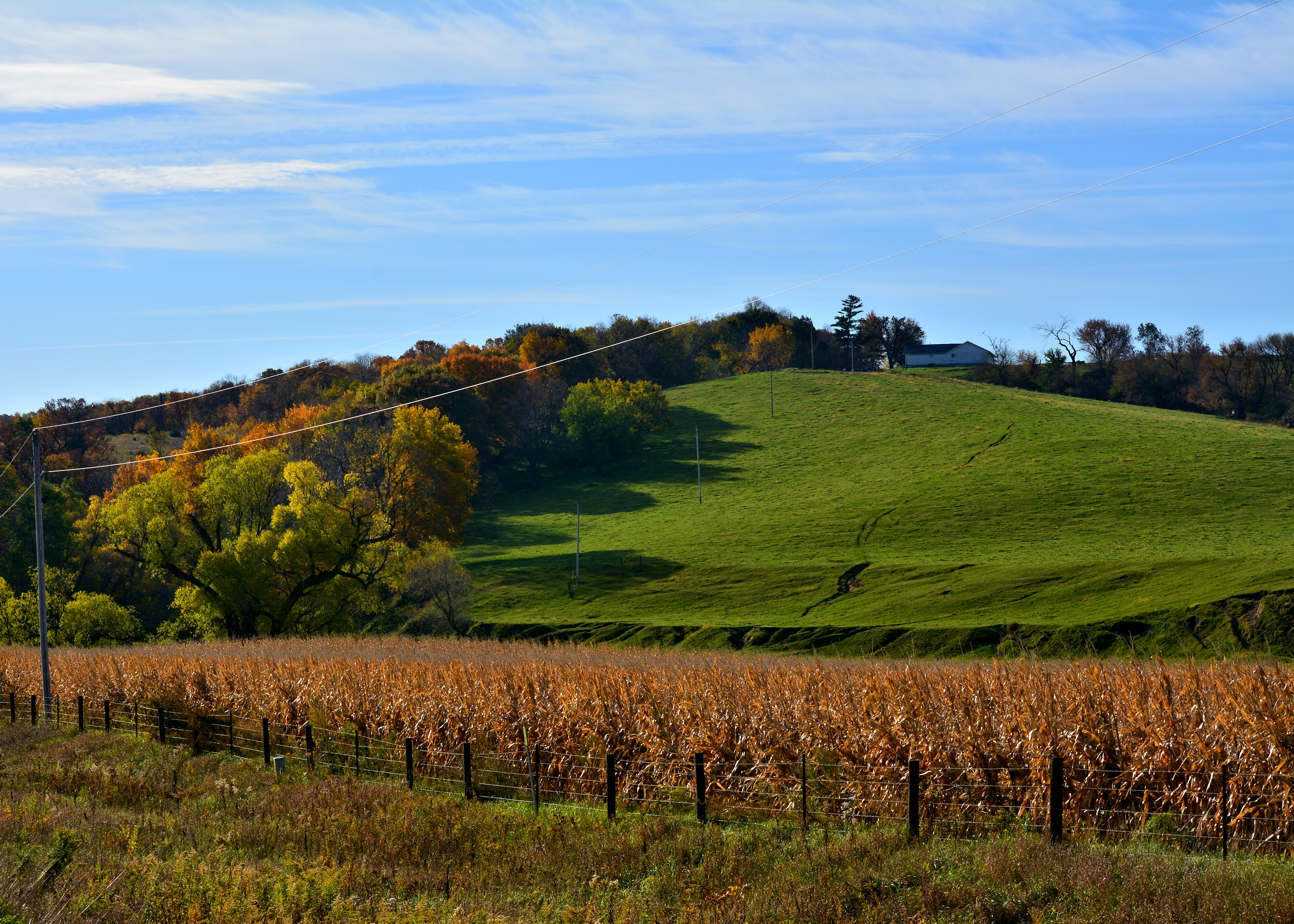
101914-329F
Cruising through western Iowa

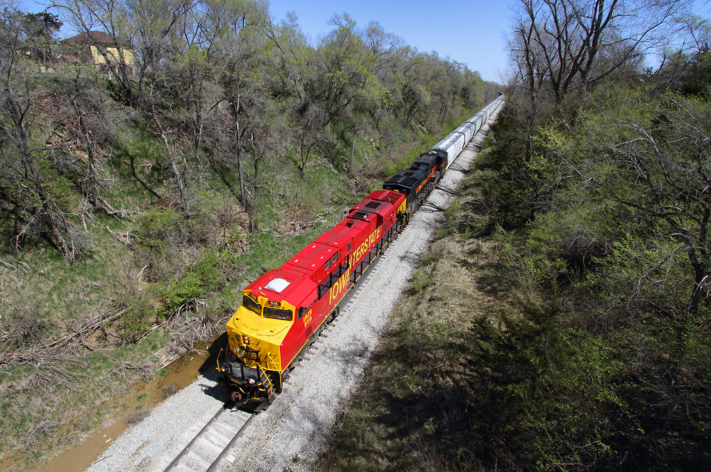
20080628-D70sDSC_4761
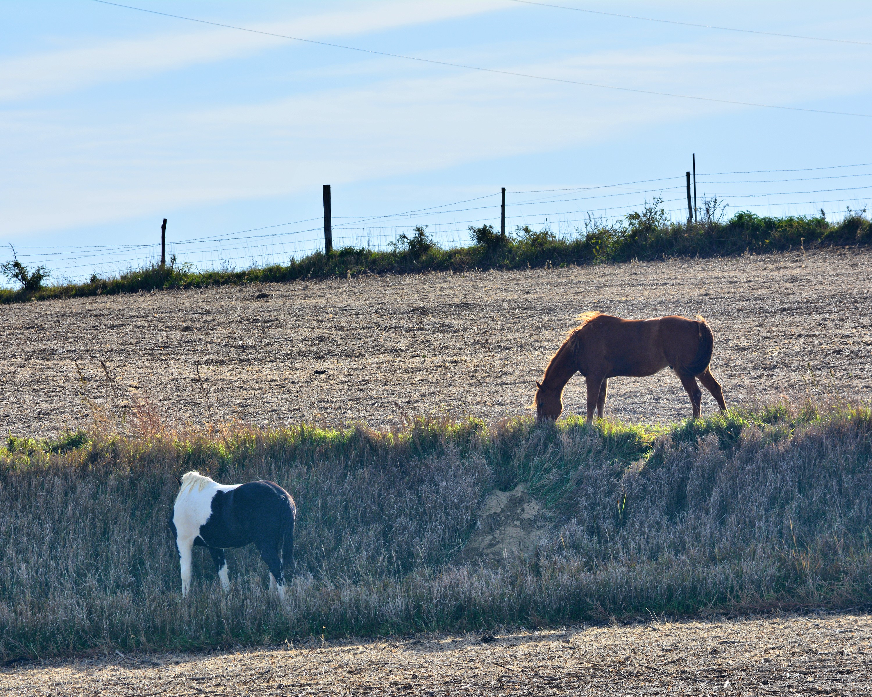
101914-334F

big grove village church

D&S Lumber - Carson, IA

Pleasant Taylor Stage Coach Stop

Pleasant Taylor Station
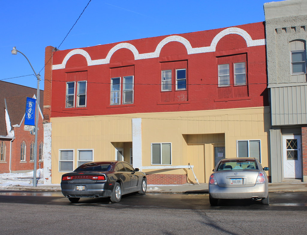
Downtown Building - Oakland, IA

Kirk and Mark and the kids sledding

Oakland Iowa, Pottawattamie County IA

2013-05-29 IA Oakland 29 - Barricades on Main Street
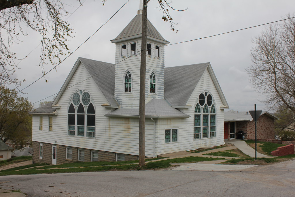
Oakland Christian Church - Oakland, IA

20080628-D80DSC_5101

Carson Presbyterian Church - Carson, IA
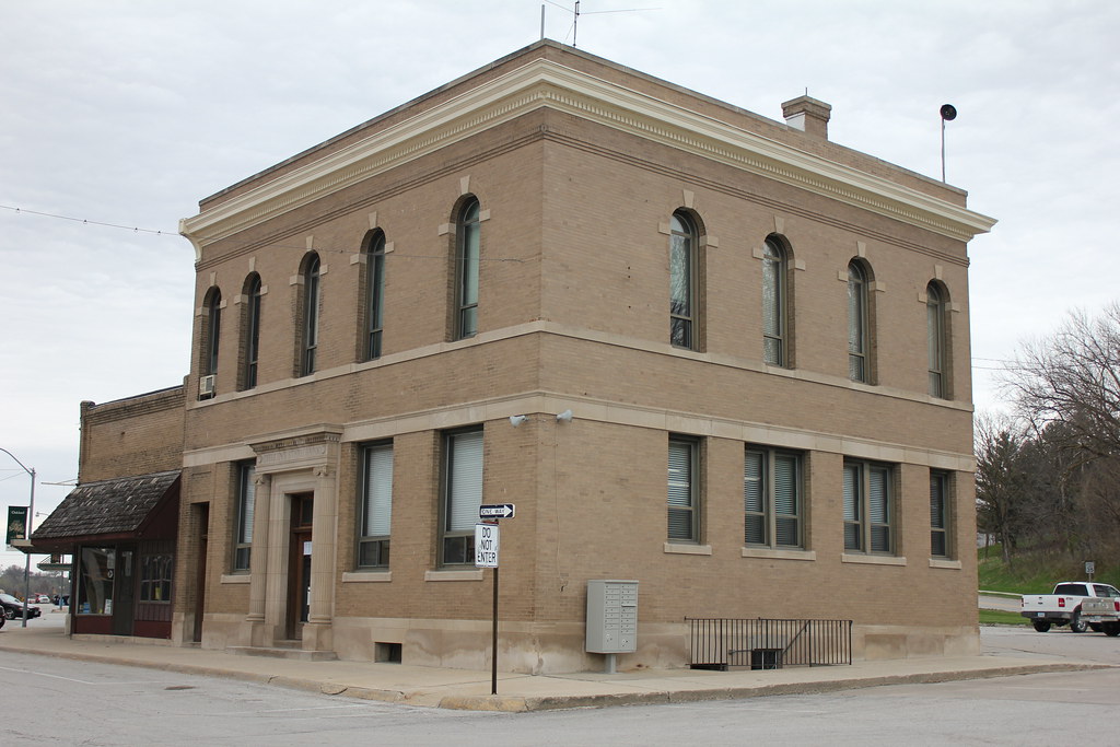
Citizens State Bank Building (City Hall) - Oakland, IA
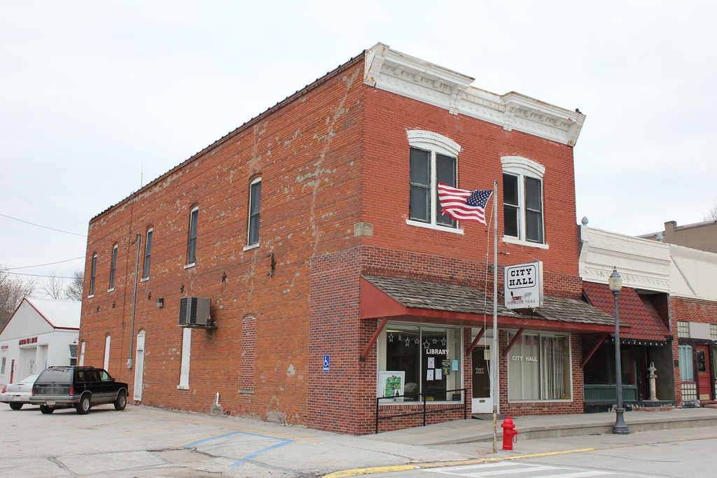
City Hall - Macedonia, IA
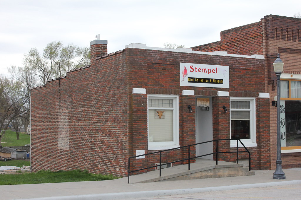
Stempel Bird Collection & Museum - Macedonia, IA

Keri and Aric :: 07.28.2008

Keri and Aric :: 07.28.2008
Topographic Map of Oakland, IA, USA
Find elevation by address:

Places near Oakland, IA, USA:
Oakland Ave, Oakland, IA, USA
Broadway St, Carson, IA, USA
Carson
Carson
Hancock
James
Valley
27476 390th St
Pottawattamie County
Main St, Macedonia, IA, USA
Elmtree Rd, Carson, IA, USA
47053 Pinoak Rd
Washington
Knox
1141 S Walnut St
30 Myrtle St, Henderson, IA, USA
452 S Walnut St
451 S Walnut St
Silver Creek
Avoca
Recent Searches:
- Elevation of Congressional Dr, Stevensville, MD, USA
- Elevation of Bellview Rd, McLean, VA, USA
- Elevation of Stage Island Rd, Chatham, MA, USA
- Elevation of Shibuya Scramble Crossing, 21 Udagawacho, Shibuya City, Tokyo -, Japan
- Elevation of Jadagoniai, Kaunas District Municipality, Lithuania
- Elevation of Pagonija rock, Kranto 7-oji g. 8"N, Kaunas, Lithuania
- Elevation of Co Rd 87, Jamestown, CO, USA
- Elevation of Tenjo, Cundinamarca, Colombia
- Elevation of Côte-des-Neiges, Montreal, QC H4A 3J6, Canada
- Elevation of Bobcat Dr, Helena, MT, USA