Elevation of 30 Myrtle St, Henderson, IA, USA
Location: United States > Iowa > Mills County >
Longitude: -95.430991
Latitude: 41.14076
Elevation: 319m / 1047feet
Barometric Pressure: 98KPa
Elevation Map:
Satellite Map:
Related Photos:

20080628-D70sDSC_4761

Wesley Chapel Cemetery - rural Hastings, IA

Carson, IA
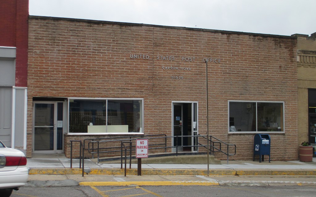
Post Office 51525 (Carson, Iowa)

2013-10-23 07.35.00

WP_20130821_006-1
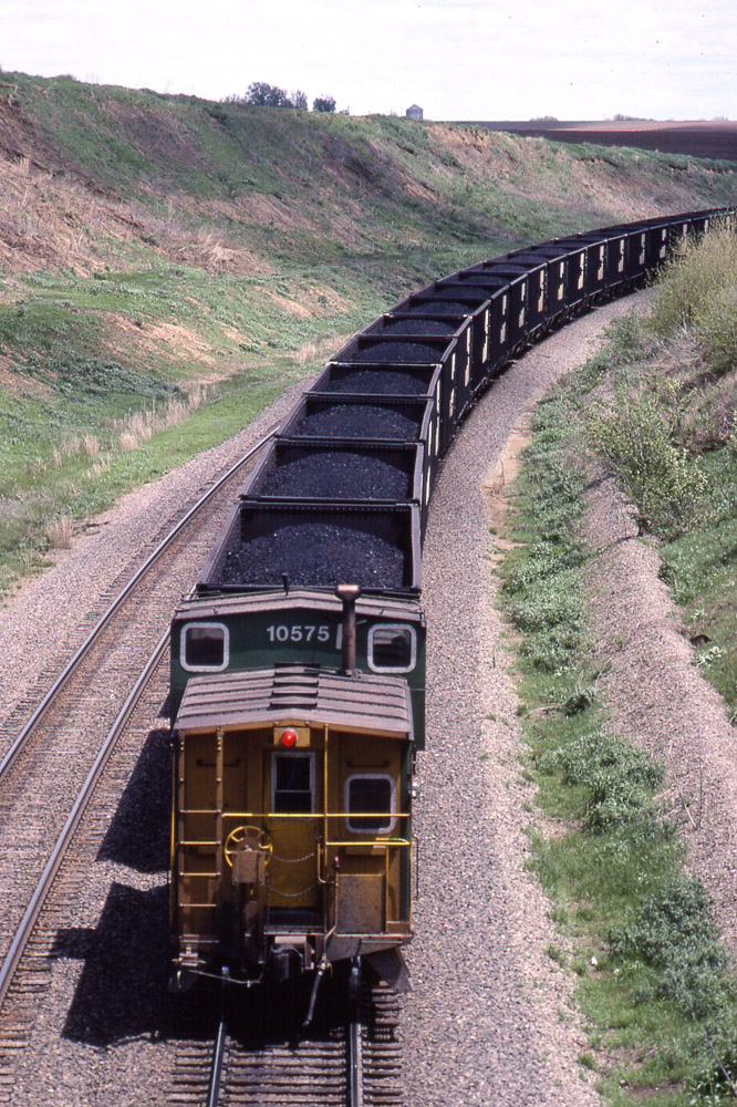
BN caboose trails a loaded coal train near Emerson IA on 5/22/83
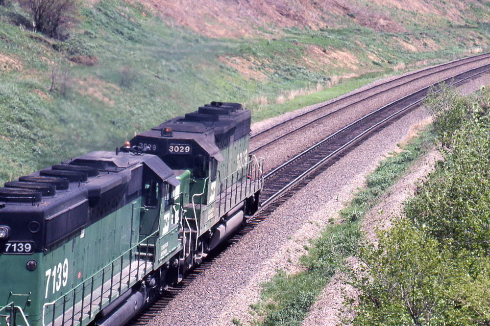
BN GP40 #3029 leads a loaded coal train near Emerson IA on 5/22/83
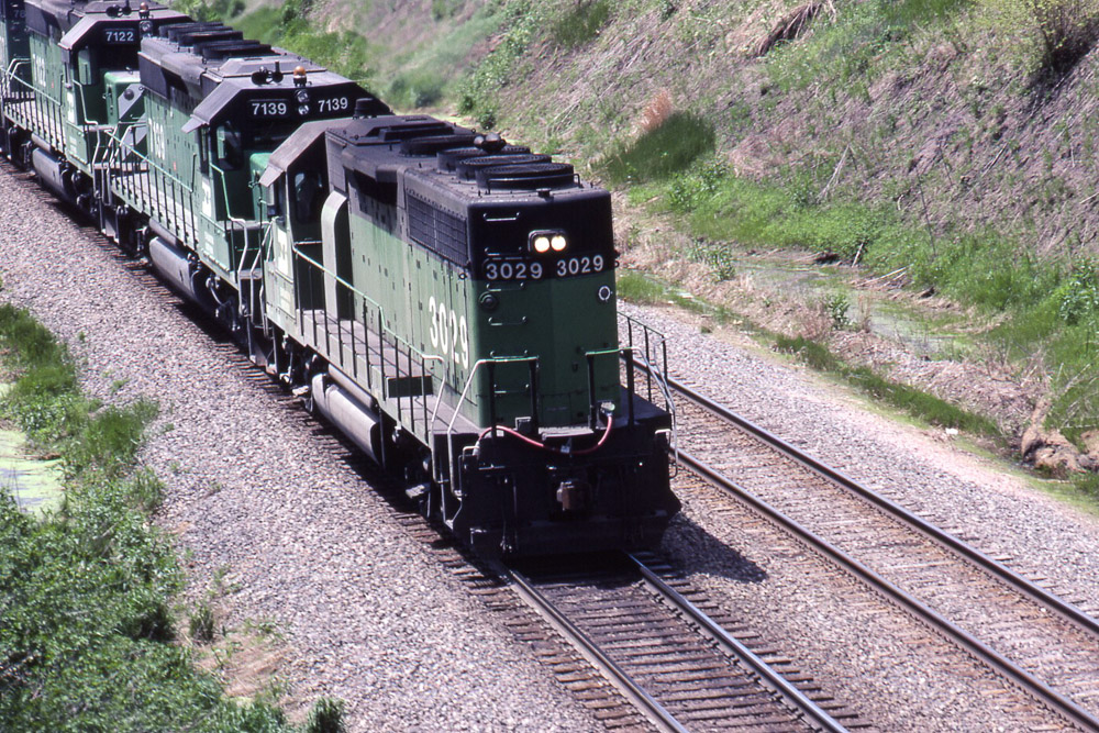
BN GP40 #3029 leads a loaded coal train near Emerson IA on 5/22/83
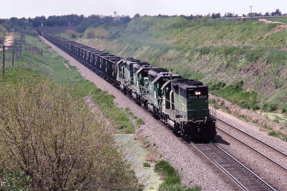
BN GP40 #3029 leads a loaded coal train near Emerson IA on 5/22/83
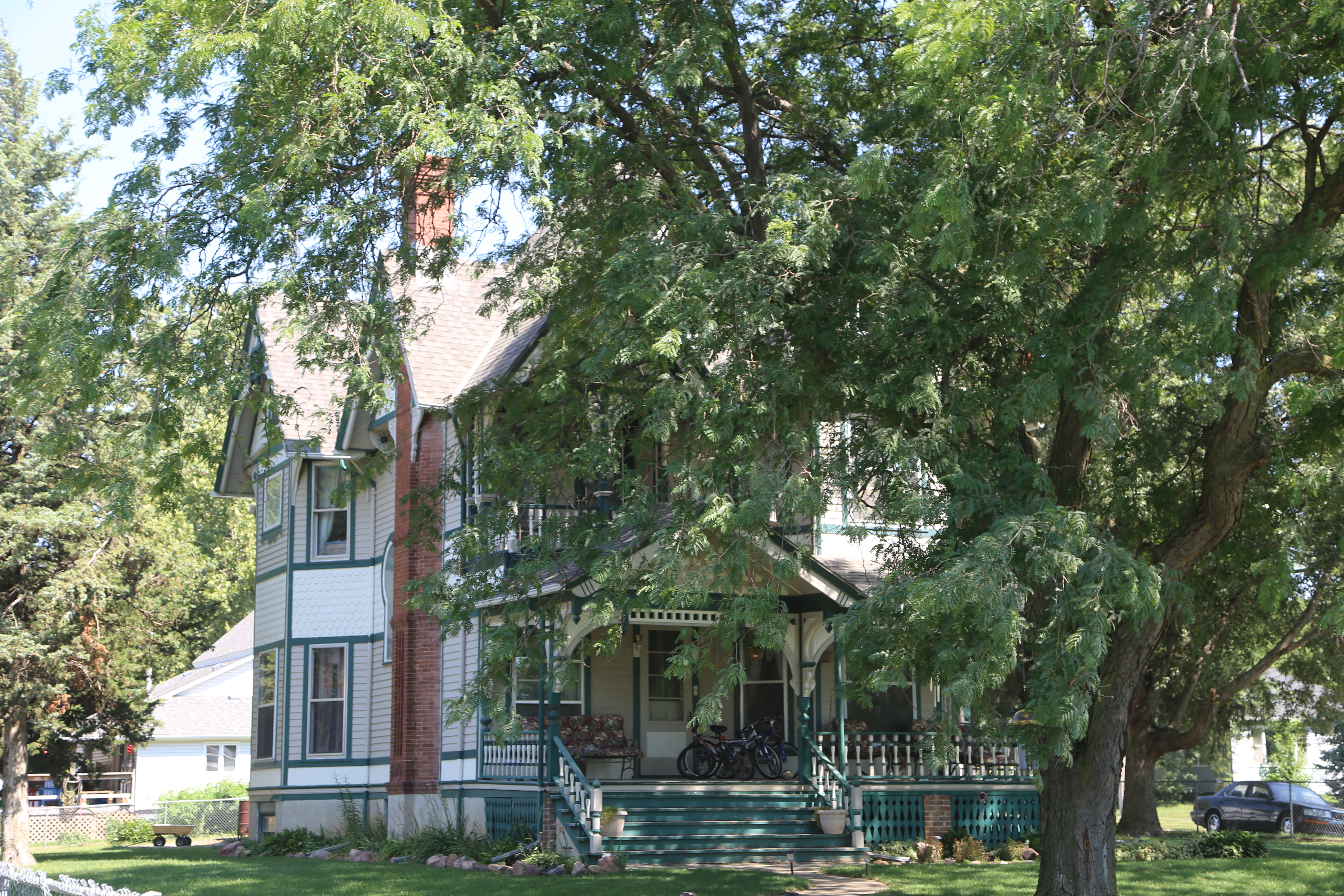
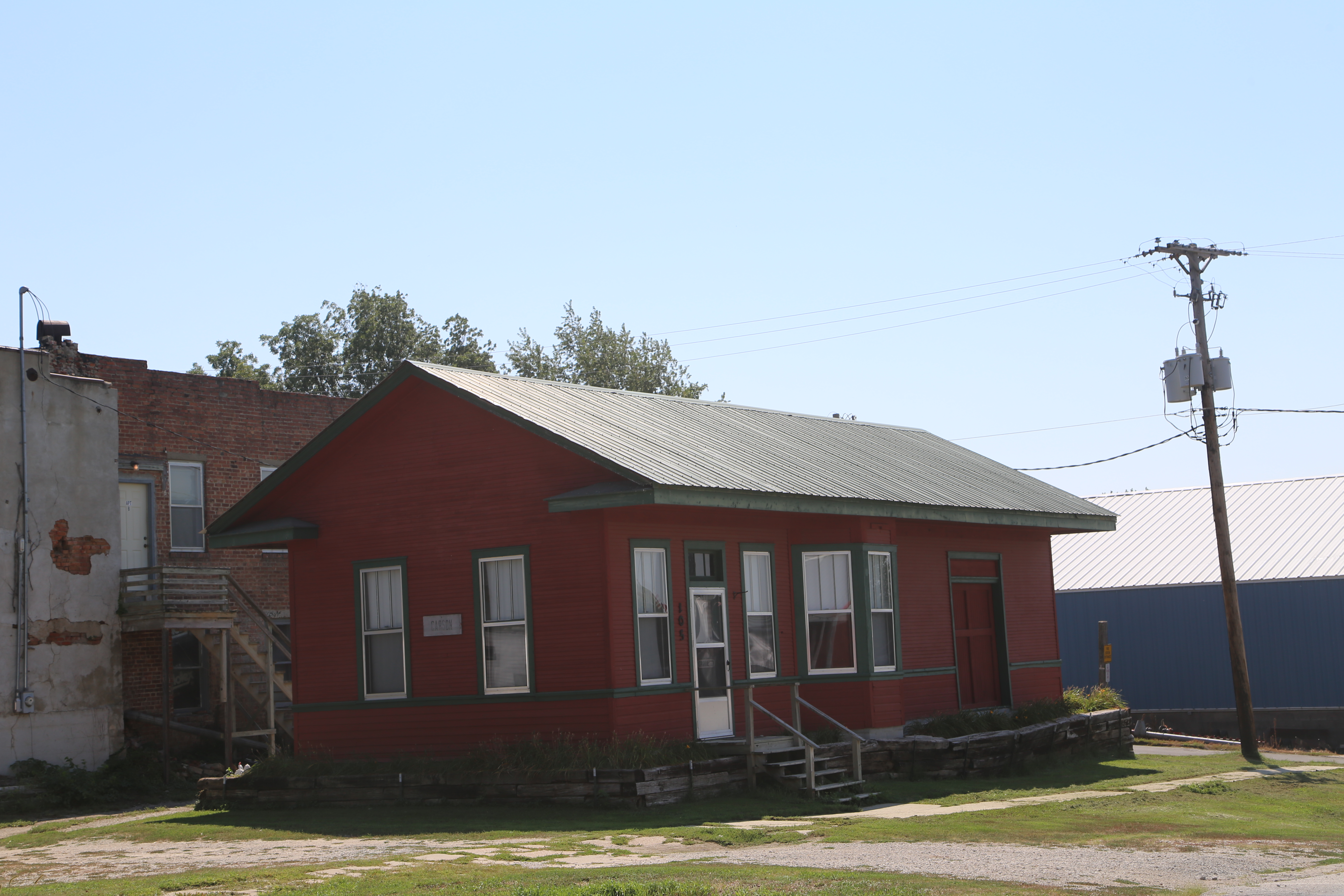
Carson Iowa, Pottawattamie IA
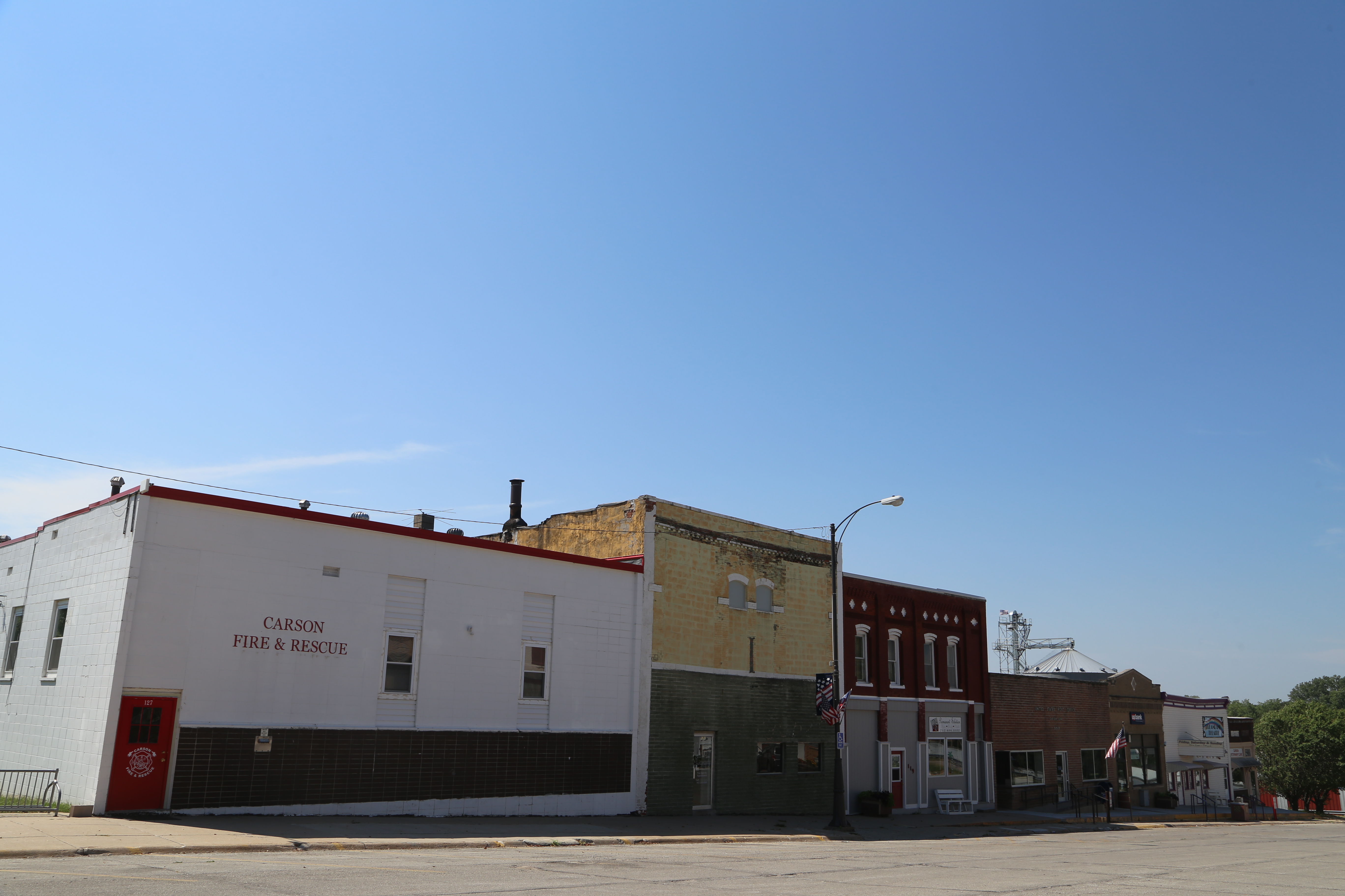
Carson Iowa, Pottawattamie IA
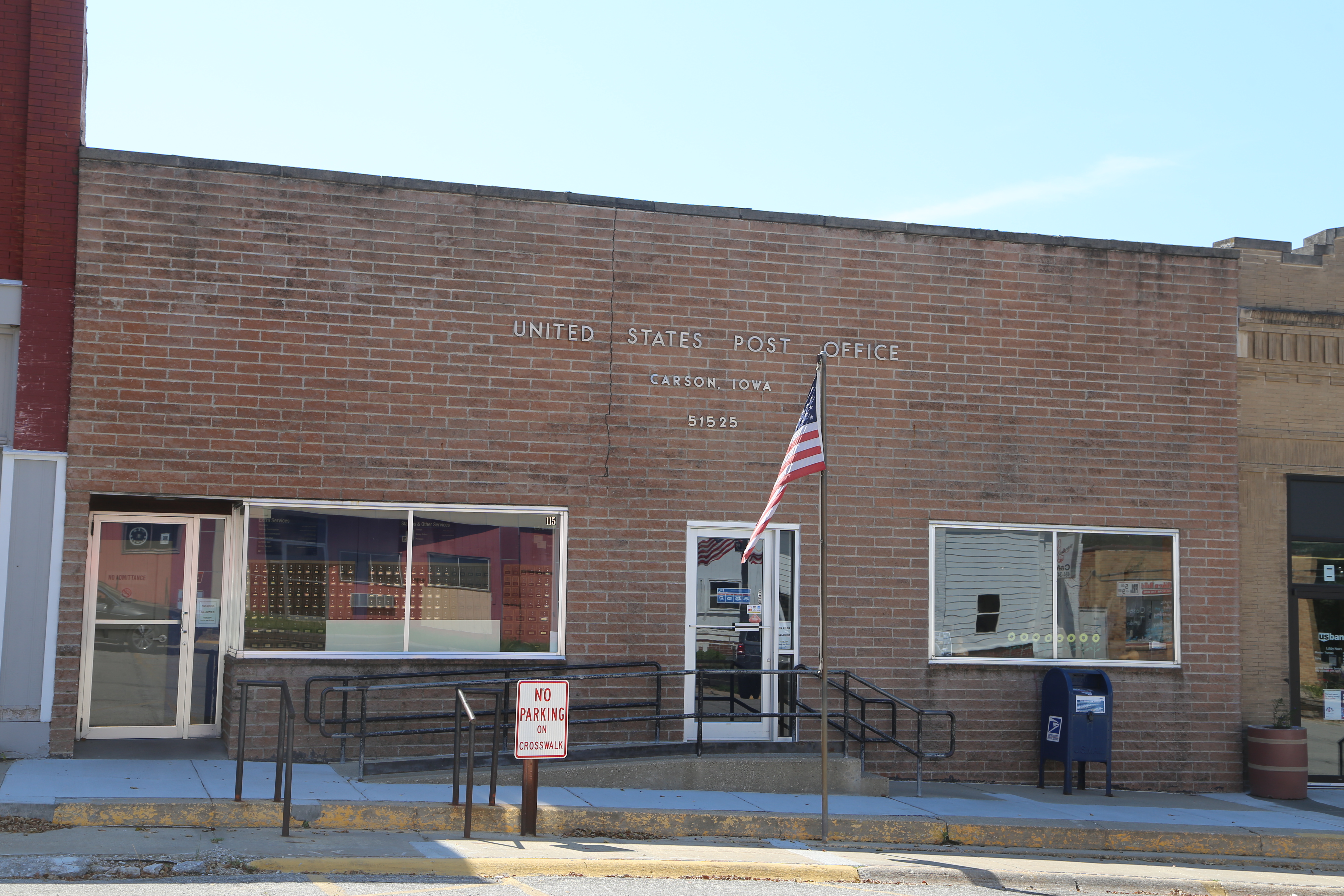
Carson Iowa, Post Office, 51525, Pottawattamie IA
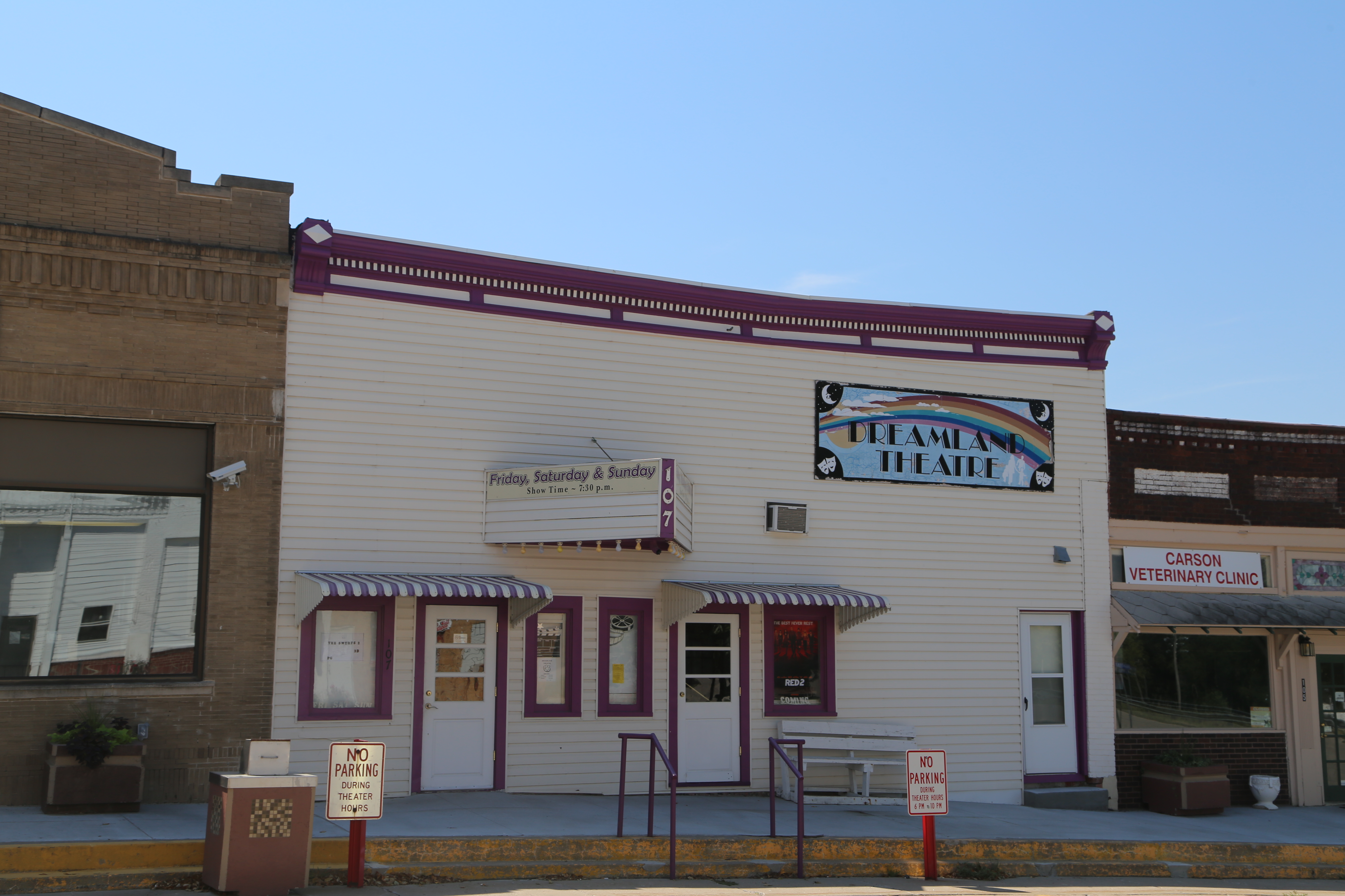
Carson Iowa, Dreamland Theater, Movie Theater, Pottawattamie IA
Carson Iowa, Train Depot, Pottawattamie IA
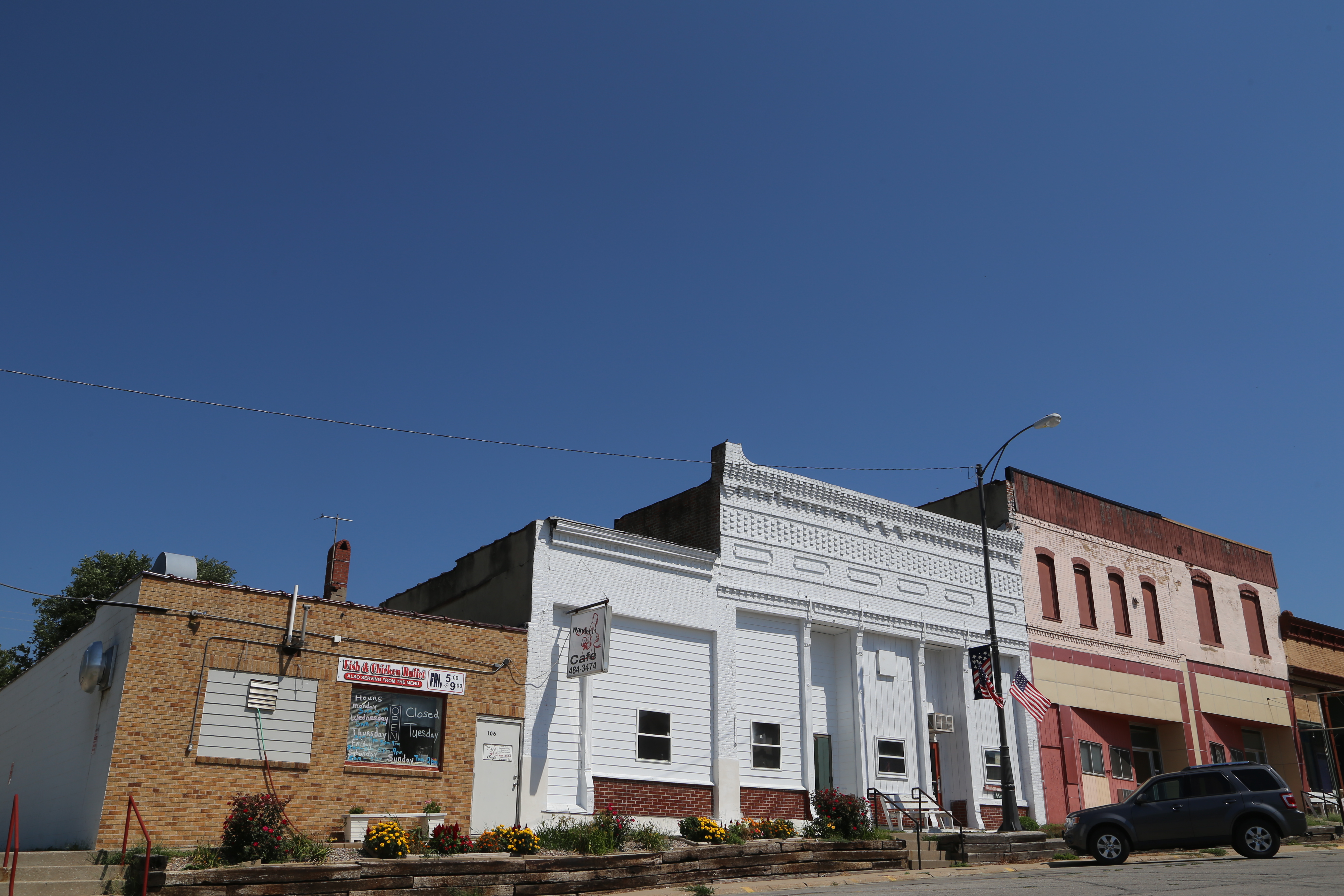
Carson Iowa, Pottawattamie IA
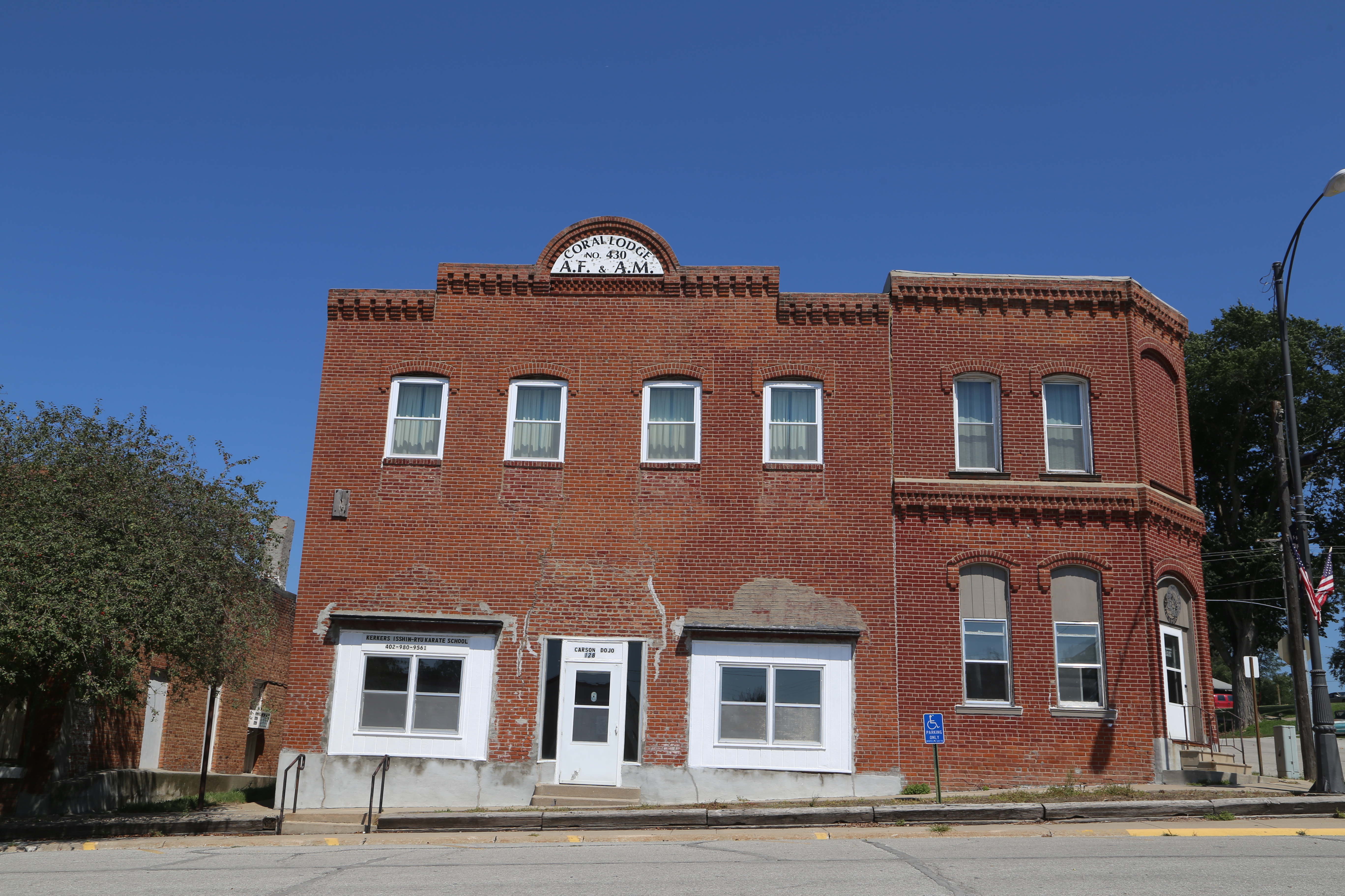
Carson Iowa, Pottawattamie IA
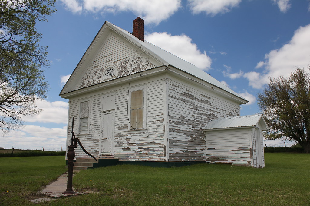
Golden Hill School - rural Malvern, IA
Topographic Map of 30 Myrtle St, Henderson, IA, USA
Find elevation by address:

Places near 30 Myrtle St, Henderson, IA, USA:
Main St, Macedonia, IA, USA
Indian Creek
Carson
Broadway St, Carson, IA, USA
Carson
Howland St, Emerson, IA, USA
Emerson
Silver Creek
Elmtree Rd, Carson, IA, USA
Oakland Ave, Oakland, IA, USA
Oakland
Washington
Ingraham
7 E Main St, Treynor, IA, USA
Treynor
Malvern
Main St, Malvern, IA, USA
29451 Jurd Ave
James
N 6th St, Red Oak, IA, USA
Recent Searches:
- Elevation of Slanický ostrov, 01 Námestovo, Slovakia
- Elevation of Spaceport America, Co Rd A, Truth or Consequences, NM, USA
- Elevation of Warwick, RI, USA
- Elevation of Fern Rd, Whitmore, CA, USA
- Elevation of 62 Abbey St, Marshfield, MA, USA
- Elevation of Fernwood, Bradenton, FL, USA
- Elevation of Felindre, Swansea SA5 7LU, UK
- Elevation of Leyte Industrial Development Estate, Isabel, Leyte, Philippines
- Elevation of W Granada St, Tampa, FL, USA
- Elevation of Pykes Down, Ivybridge PL21 0BY, UK