Elevation of Glenn, CA, USA
Location: United States > California > Glenn County >
Longitude: -122.01386
Latitude: 39.5218283
Elevation: 30m / 98feet
Barometric Pressure: 101KPa
Elevation Map:
Satellite Map:
Related Photos:
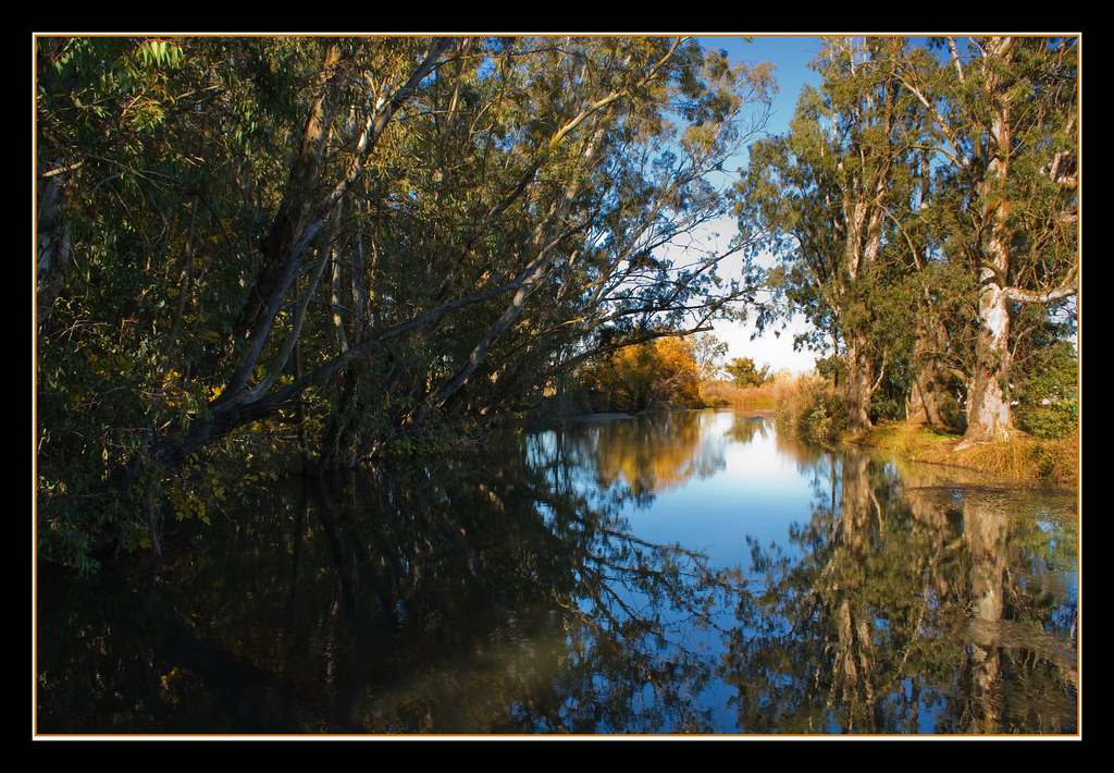
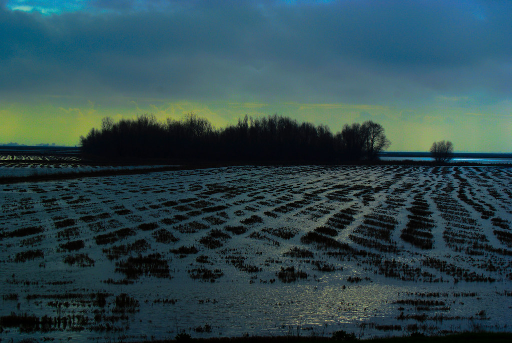
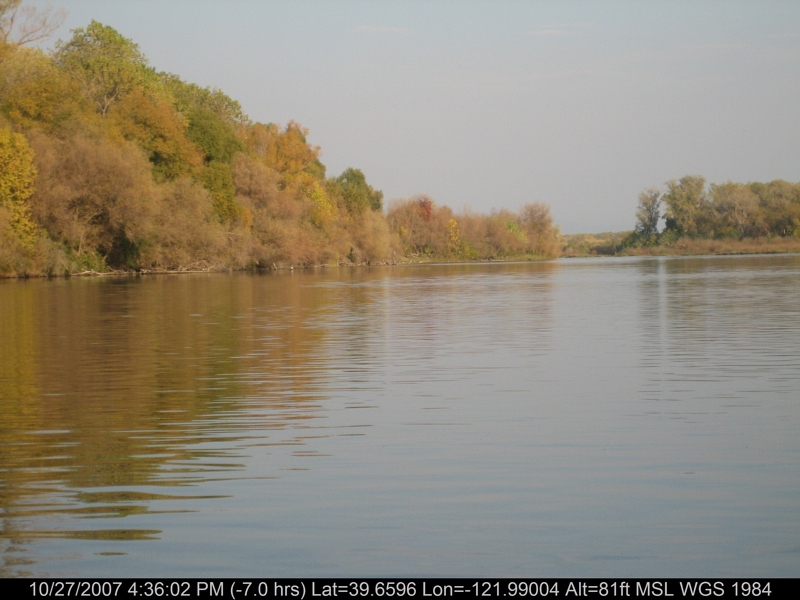
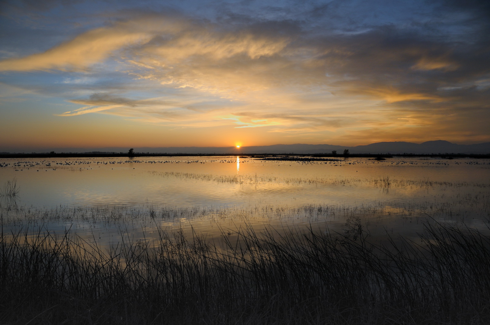
Fall Reflections
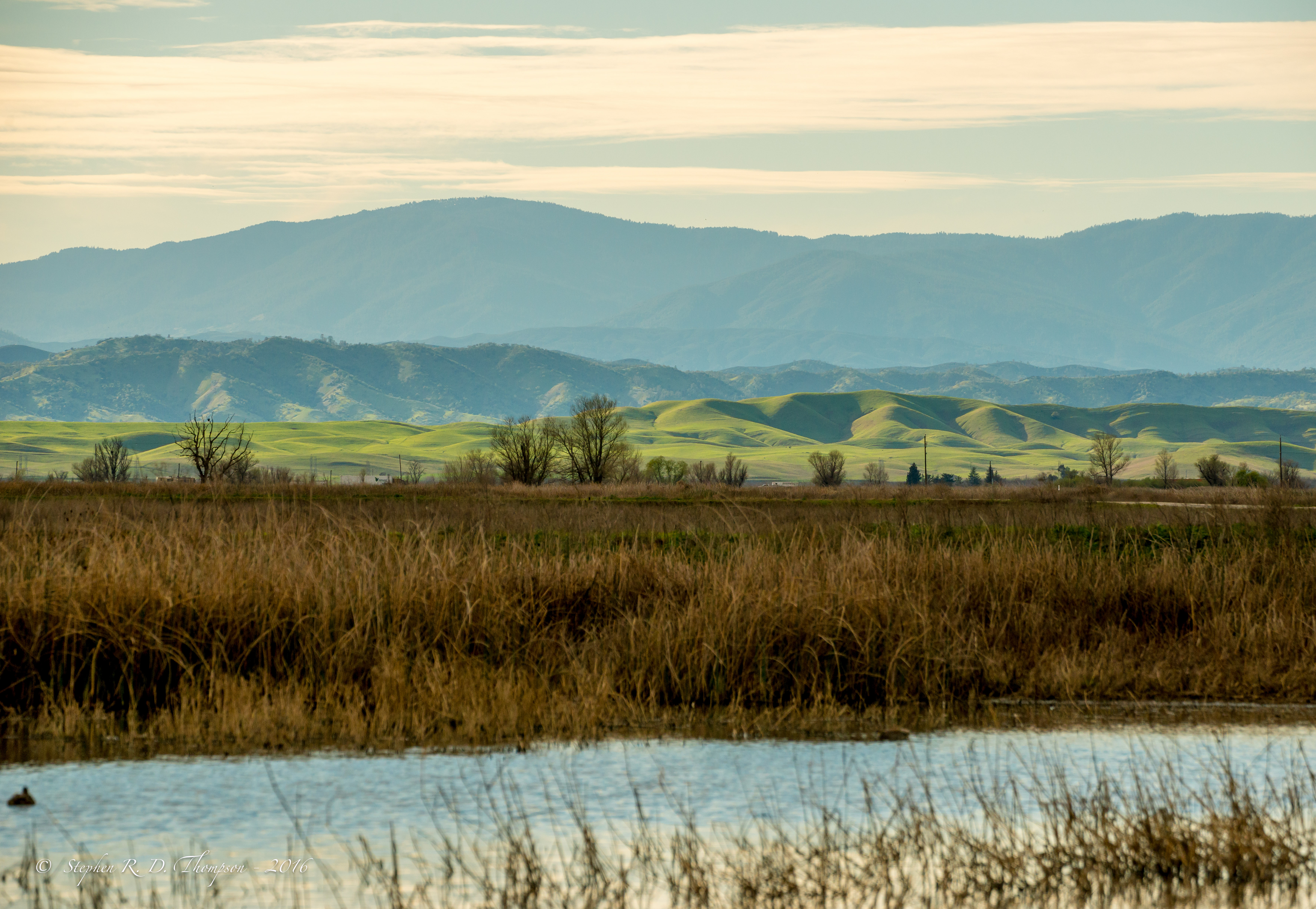
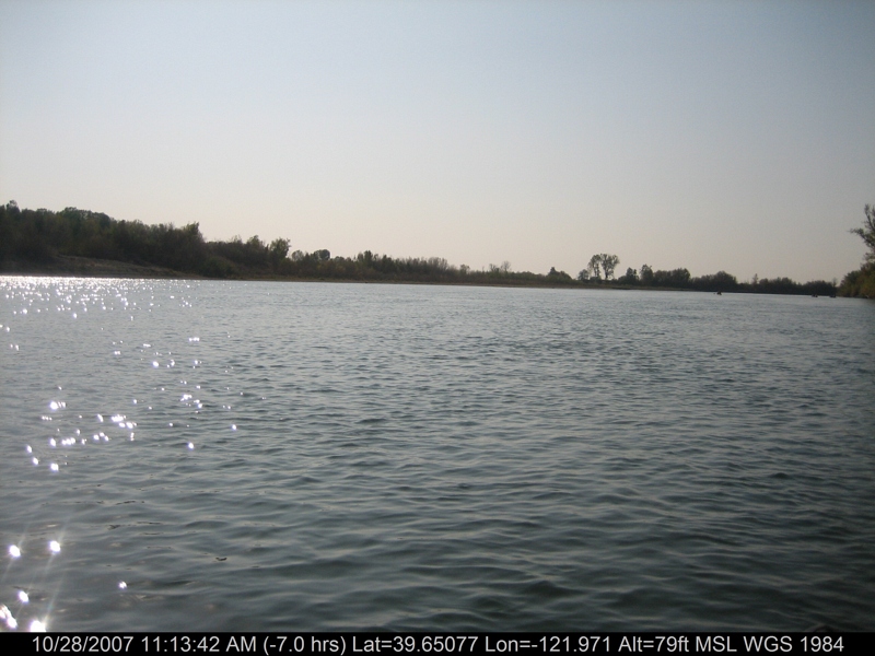
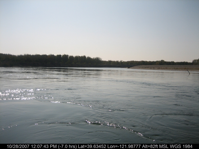
View looking West from Sacramento NWR
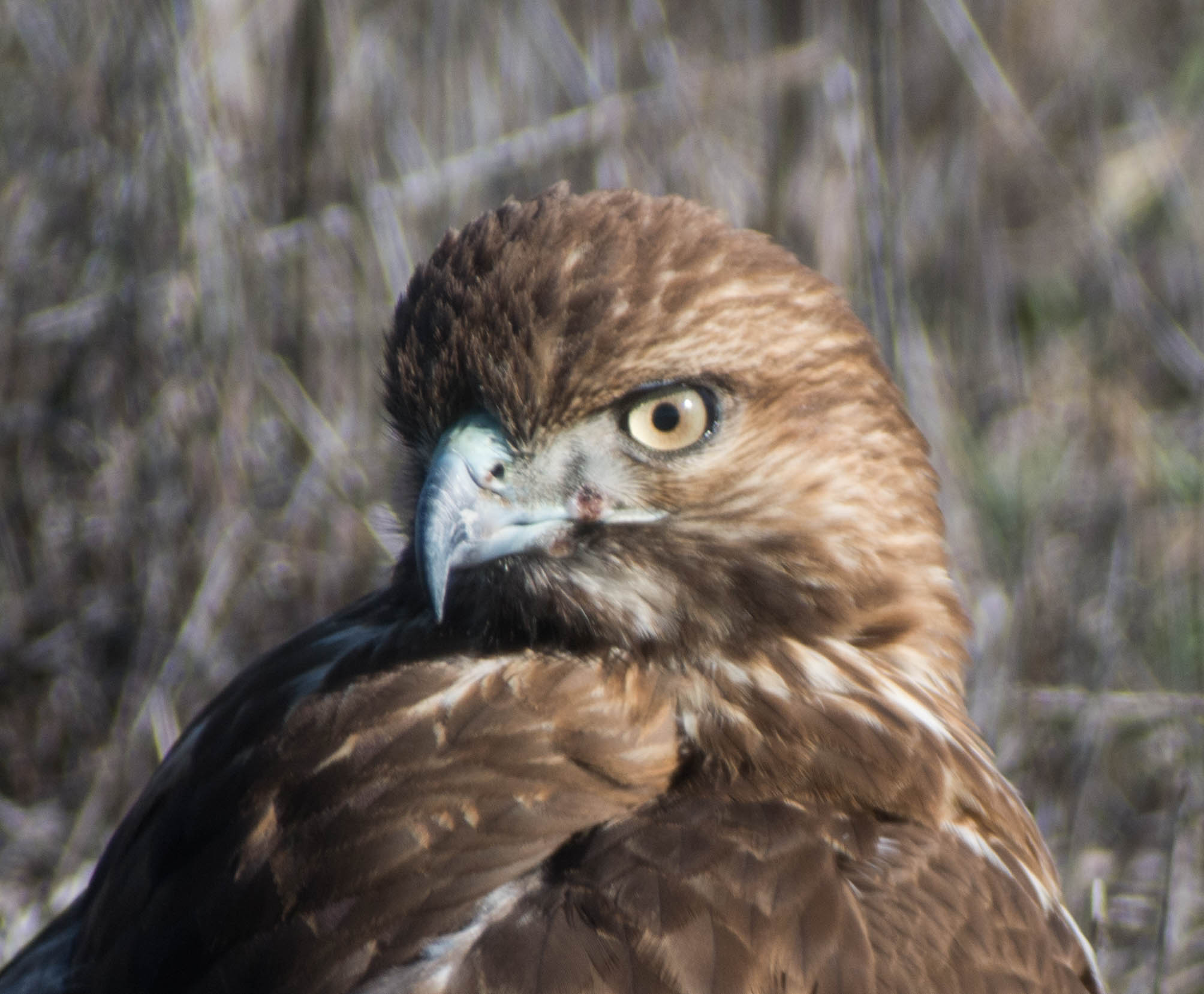
Red-tailed Hawk - Juvenile - 8881

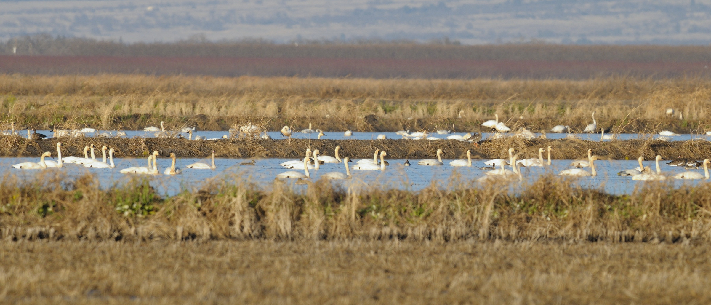
Tundra Swan

Red-tailed Hawk - Juvenile - 8879
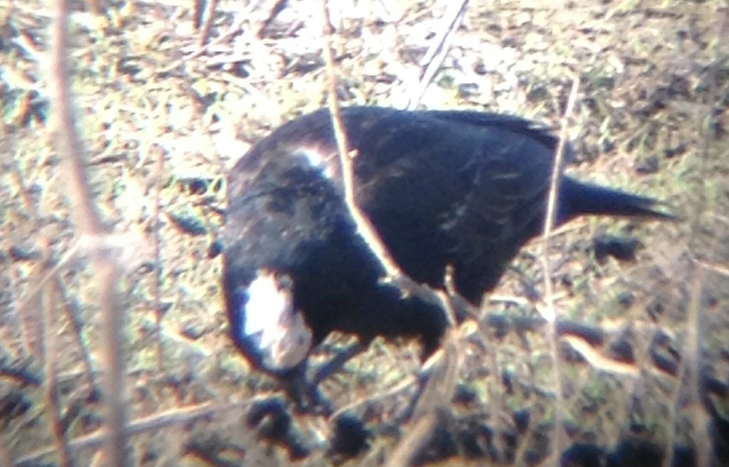
Partial amelanistic blackbird
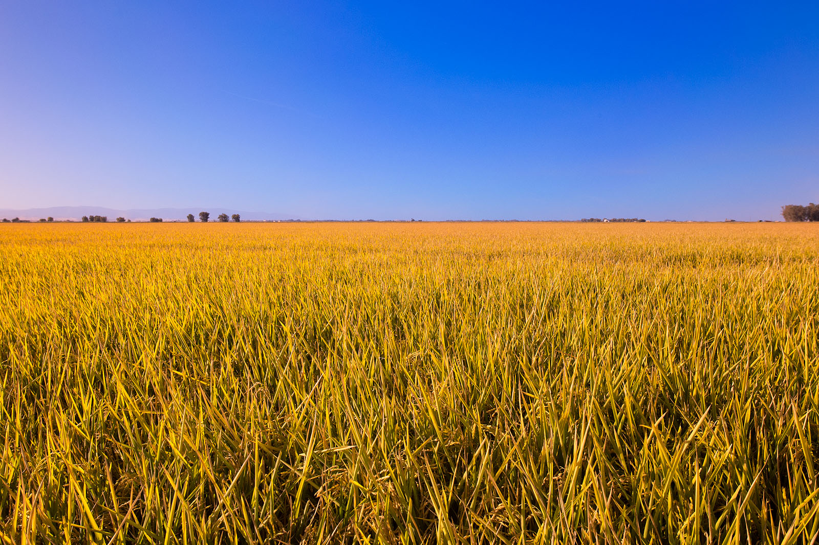
california rice fields
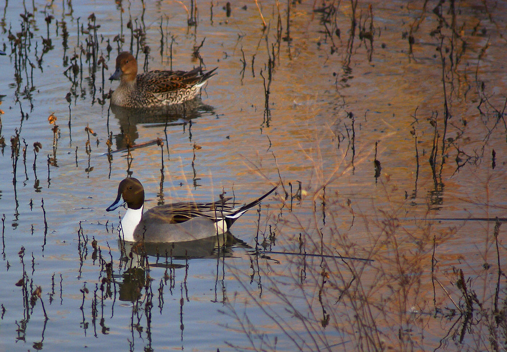
Northern Pintail Drake and Hen

Interstate 5 Northbound Glenn Valley Freeway approaching 1 1/2 miles to Exit 603 - Willows with this roadside sign located at Glenn County - Willows, California. Airport, Hospital, Highway Patrol, Viewing Point ahead.

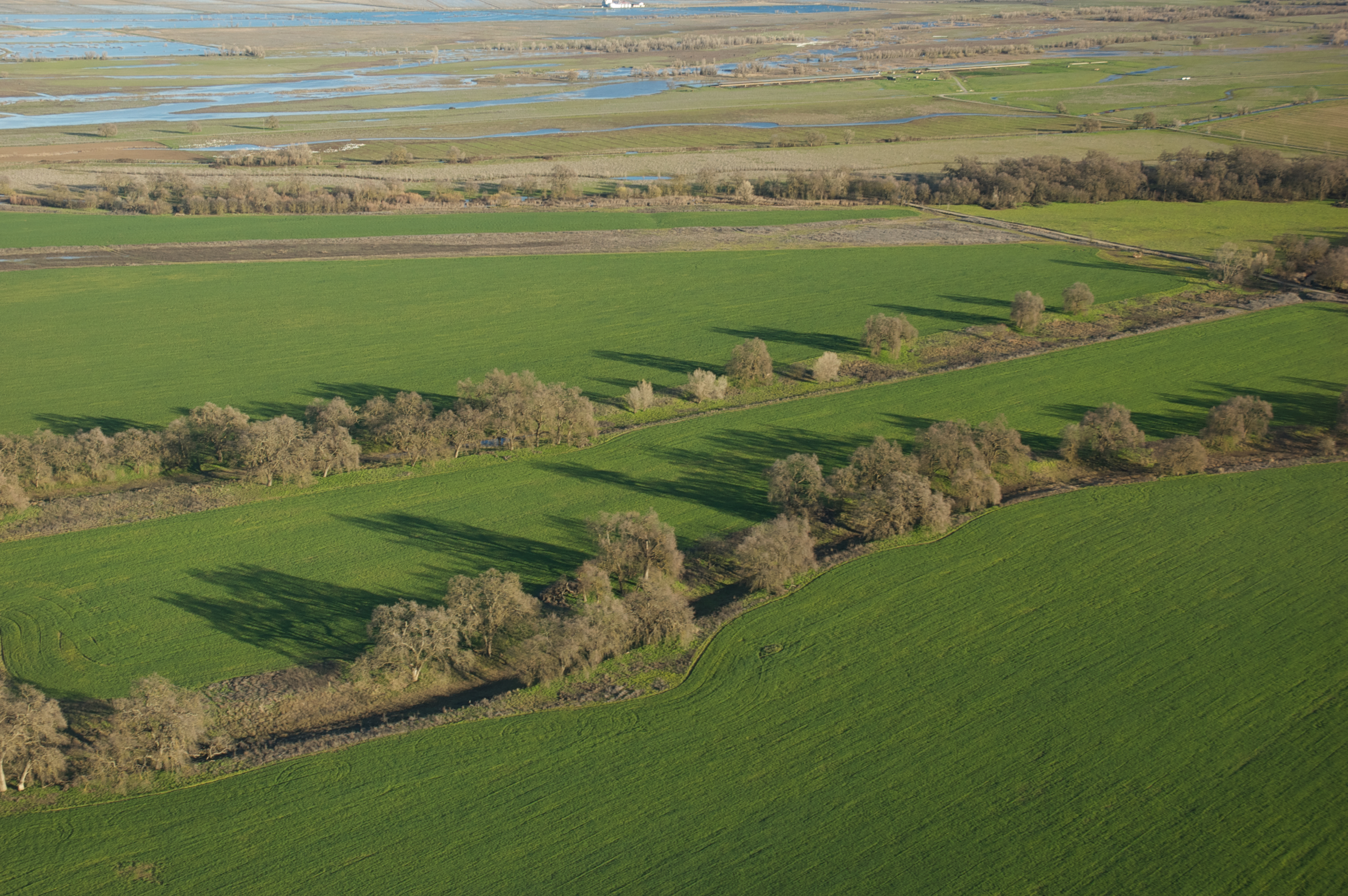
Sacramento NWR Views #4
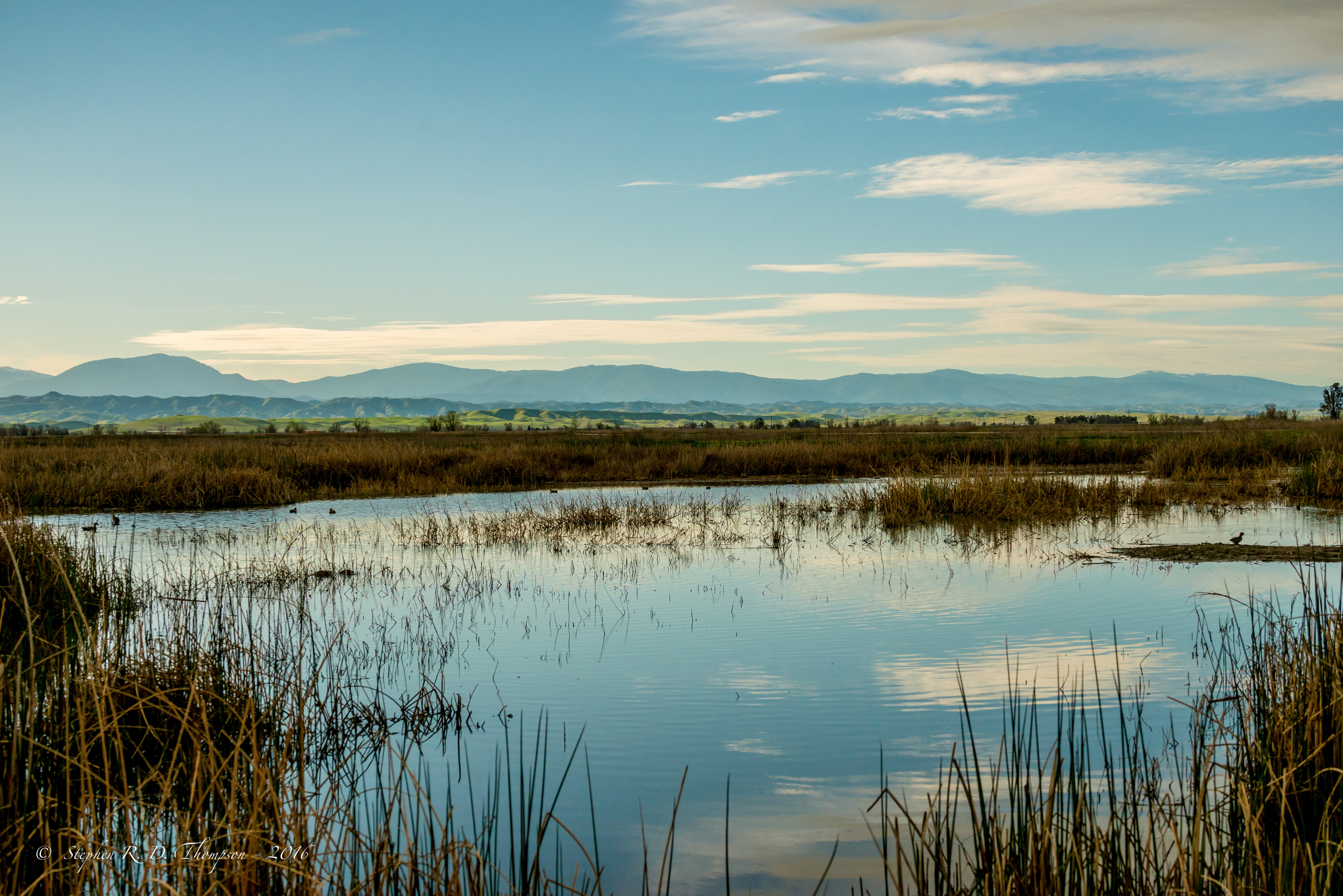
View looking West from Sacramento NWR

Sunflowers - Aerial Panorama
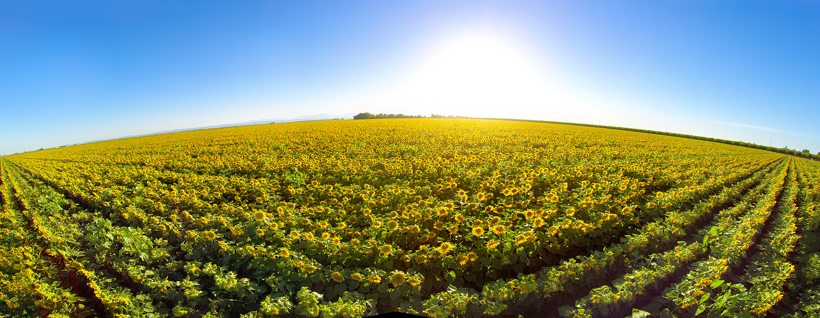
Sunflower Aerial Panorama
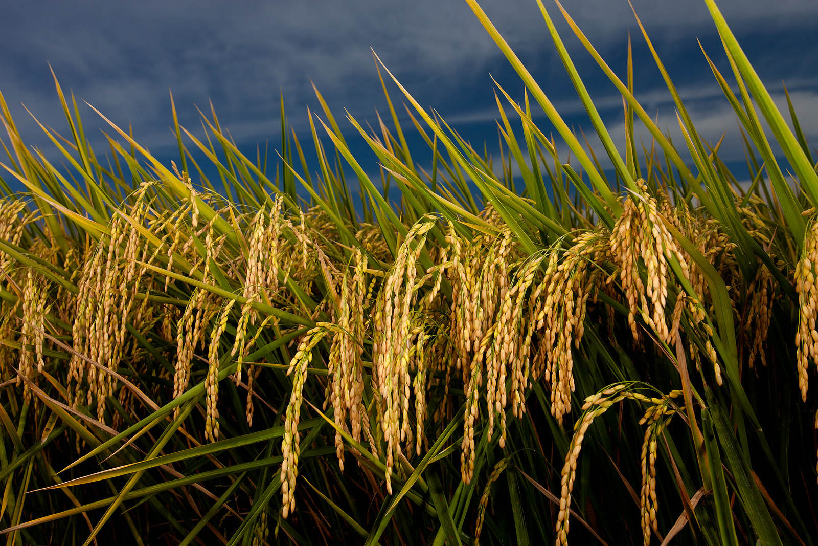
Ripe heads of rice in the field
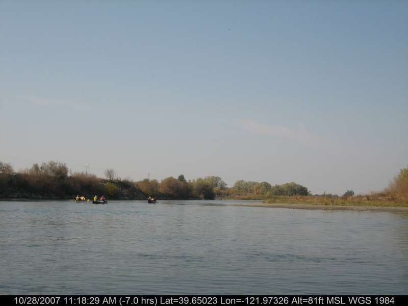
canoeing 212.jpg
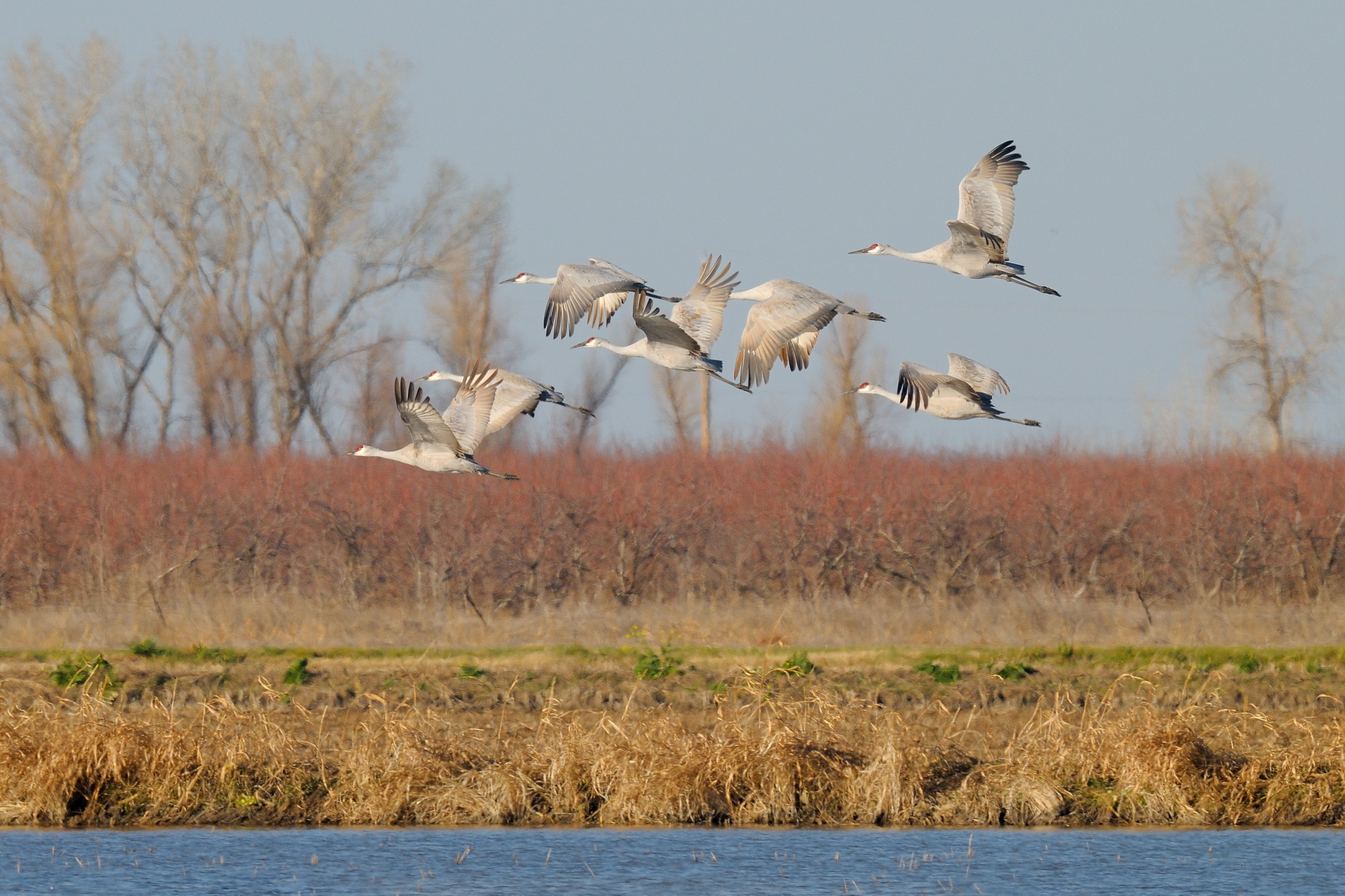
Sandhill Cranes in flight near Llano Seco NWR-28 1-25-14
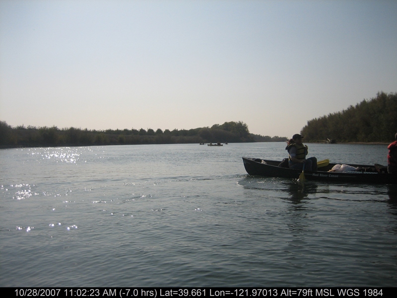
canoeing 201.jpg
canoeing 207.jpg

Sunflower Against the Sun
Rice Fields Ready for Harvest
Rancho Llano Seco
canoeing 167.jpg
Sunset at Sacramento NWR-07 HDR+1 12-7-11
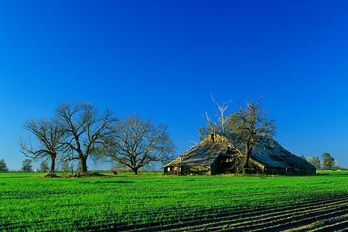
Barn at Bayliss

Land of the Setting Sun
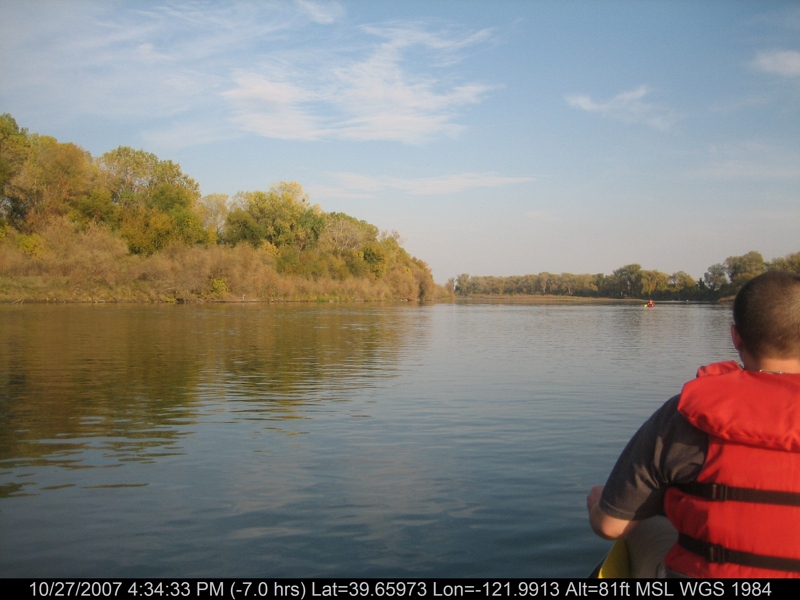
canoeing 166.jpg
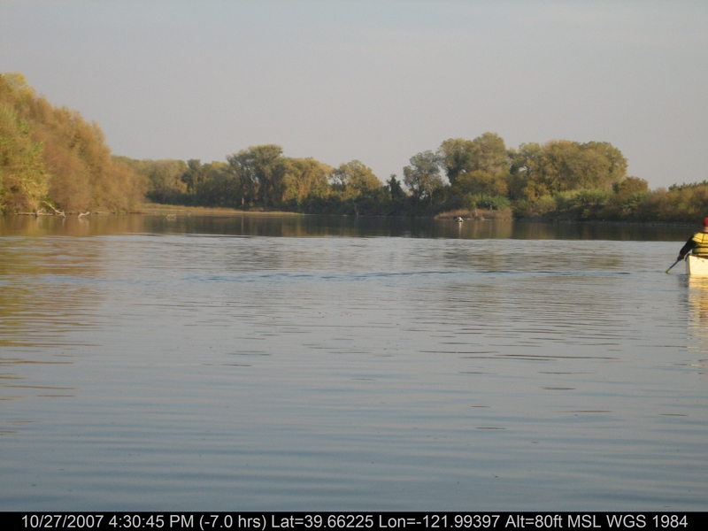
canoeing 163.jpg
canoeing 242.jpg
Tundra Swans near Llano Seco NWR-02 1-25-14
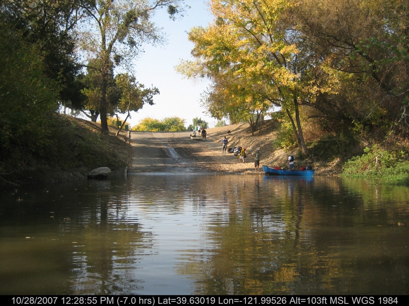
canoeing 260.jpg
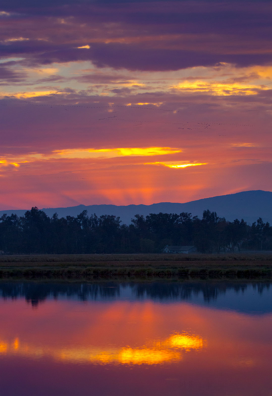
Rice Field Sunset
Topographic Map of Glenn, CA, USA
Find elevation by address:

Places in Glenn, CA, USA:
Places near Glenn, CA, USA:
CA-45, Glenn, CA, USA
Co Rd 61, Princeton, CA, USA
Hwy 48, Chico, CA, USA
Co Rd 32, Glenn, CA, USA
Princeton
Sacramento River
633 3rd St
Willows
County Rd 39, Willows, CA, USA
Front St, Chico, CA, USA
Artois
22 Co Rd JJ, Artois, CA, USA
6204 County Road 53
Co Rd 16, Orland, CA, USA
Main St, Hamilton City, CA, USA
Hamilton City
2781 Edgar Ave
9880 Fimple Rd
9880 Fimple Rd
Co Rd 27, Orland, CA, USA
Recent Searches:
- Elevation of E 63rd St, New York, NY, USA
- Elevation of Elk City, OK, USA
- Elevation of Erika Dr, Windsor, CA, USA
- Elevation of Village Ln, Finleyville, PA, USA
- Elevation of 24 Oakland Rd #, Scotland, ON N0E 1R0, Canada
- Elevation of Deep Gap Farm Rd E, Mill Spring, NC, USA
- Elevation of Dog Leg Dr, Minden, NV, USA
- Elevation of Dog Leg Dr, Minden, NV, USA
- Elevation of Kambingan Sa Pansol Atbp., Purok 7 Pansol, Candaba, Pampanga, Philippines
- Elevation of Pinewood Dr, New Bern, NC, USA