Elevation of Hamilton City, CA, USA
Location: United States > California > Glenn County >
Longitude: -122.01359
Latitude: 39.7426598
Elevation: 48m / 157feet
Barometric Pressure: 101KPa
Elevation Map:
Satellite Map:
Related Photos:

08•52 • "beginning on a train..." v2.0

08•52 • 2014 • lost...

06•52 • Lost v.2.0...

I loved reliving our time in Sevilla, Spain, as I created this post. Sevilla was one of our favorite destinations on our trip to Portugal and Spain in July. This view is the rooftop terrace lounge from our hotel. Click the link for the post and series. #s

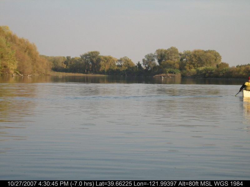
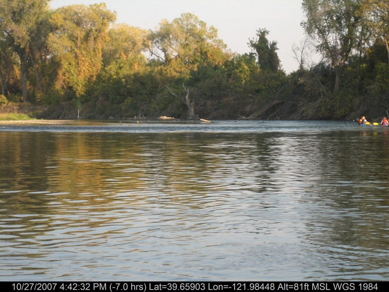
floatin' the Sac

Ramadan Day 10: Creation

Big Zapper Yoyo

Plague Doctor

Kendall Hall, CSU Chico
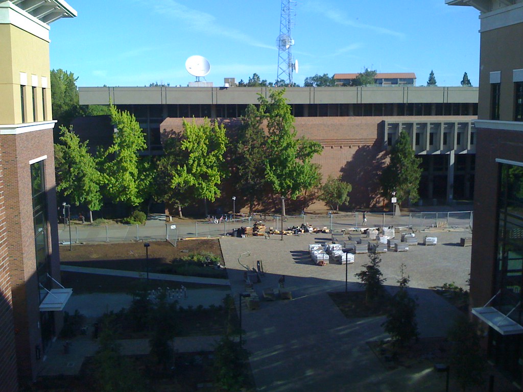
Office Window View
O'B (3)

The French Connection
Fountains at Chico Civic Plaza

Chico State campus in autumn

Autumn at One Mile

Bidwell Mansion
Chico Starbucks (2)
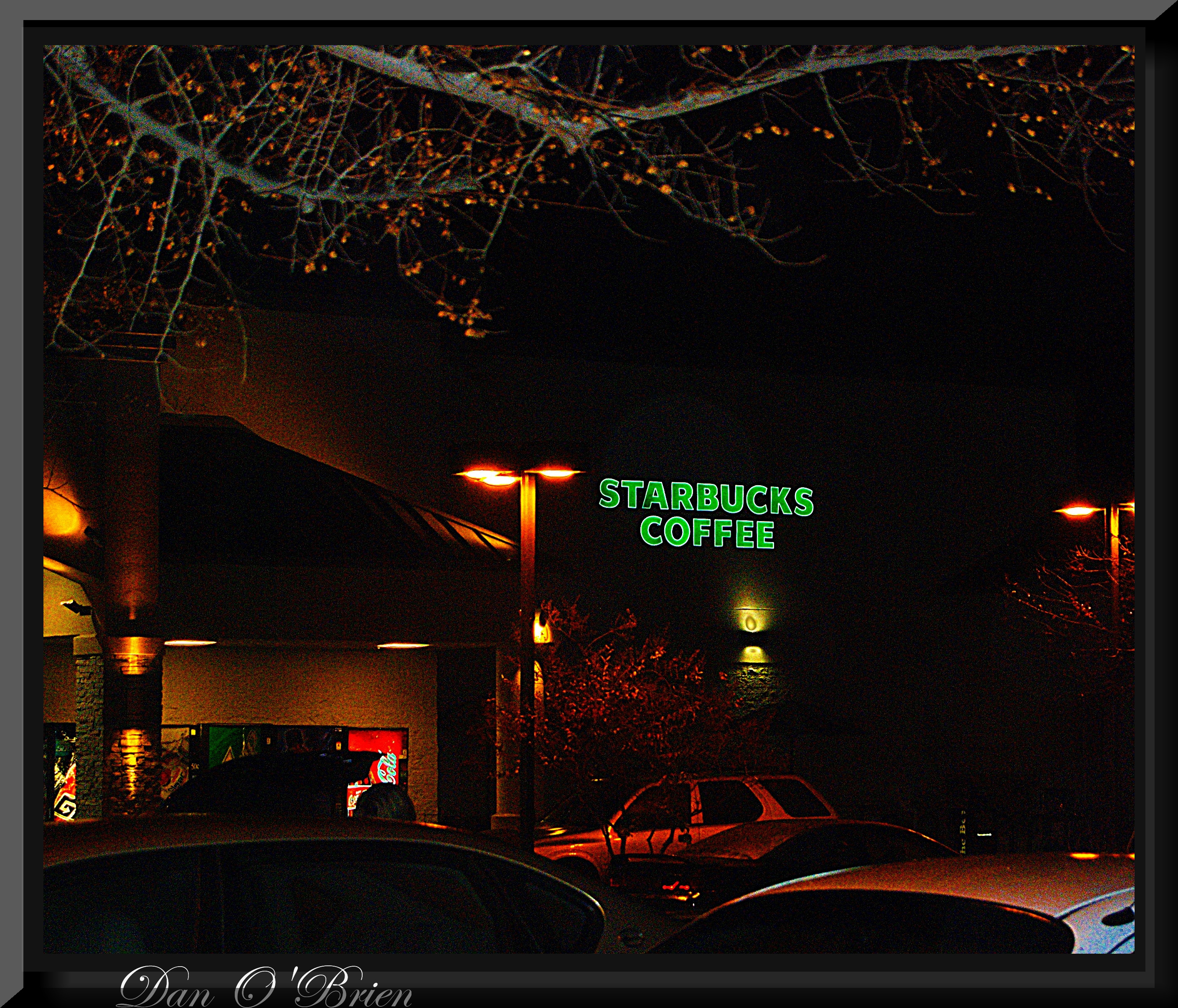
Chico Starbucks

Jack Frost nipping at your nose...
View of MLIB

The view from the happy place

Sunflowers - Aerial Panorama
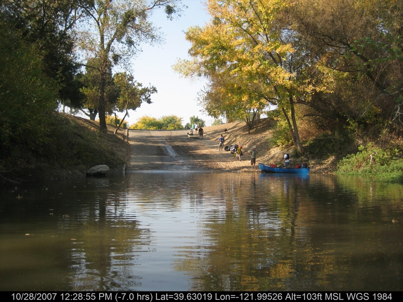
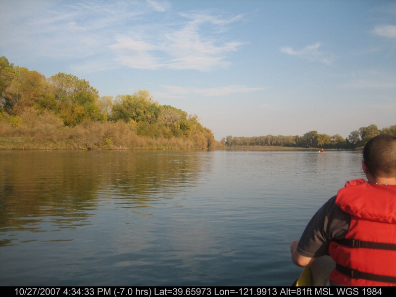
canoeing 260.jpg
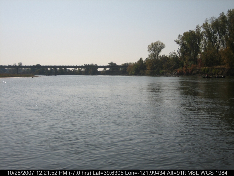
canoeing 254.jpg
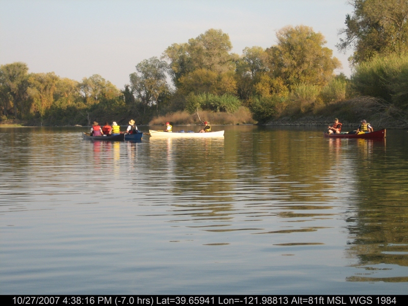
canoeing 169.jpg

Sunflower Aerial Panorama
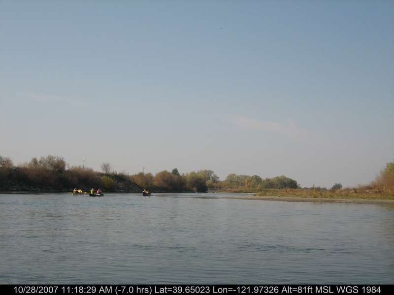
canoeing 212.jpg
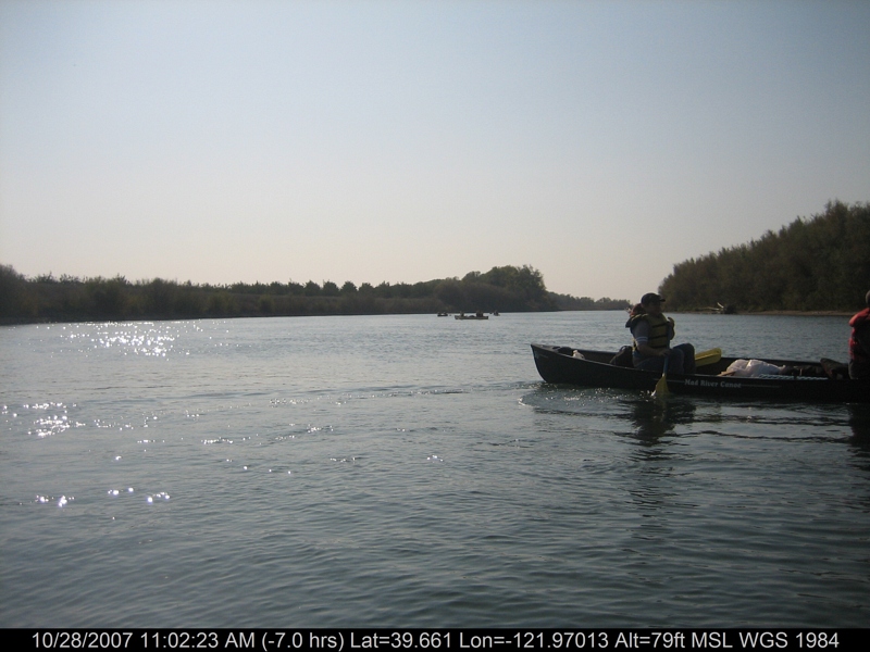
canoeing 201.jpg
canoeing 207.jpg
Chico Creek
Rancho Llano Seco
One Mile
canoeing 167.jpg
canoeing 166.jpg
canoeing 163.jpg

Orland Outfitters Shad on the Sac
canoeing 242.jpg

Smokey Sunset
Going somewhere?
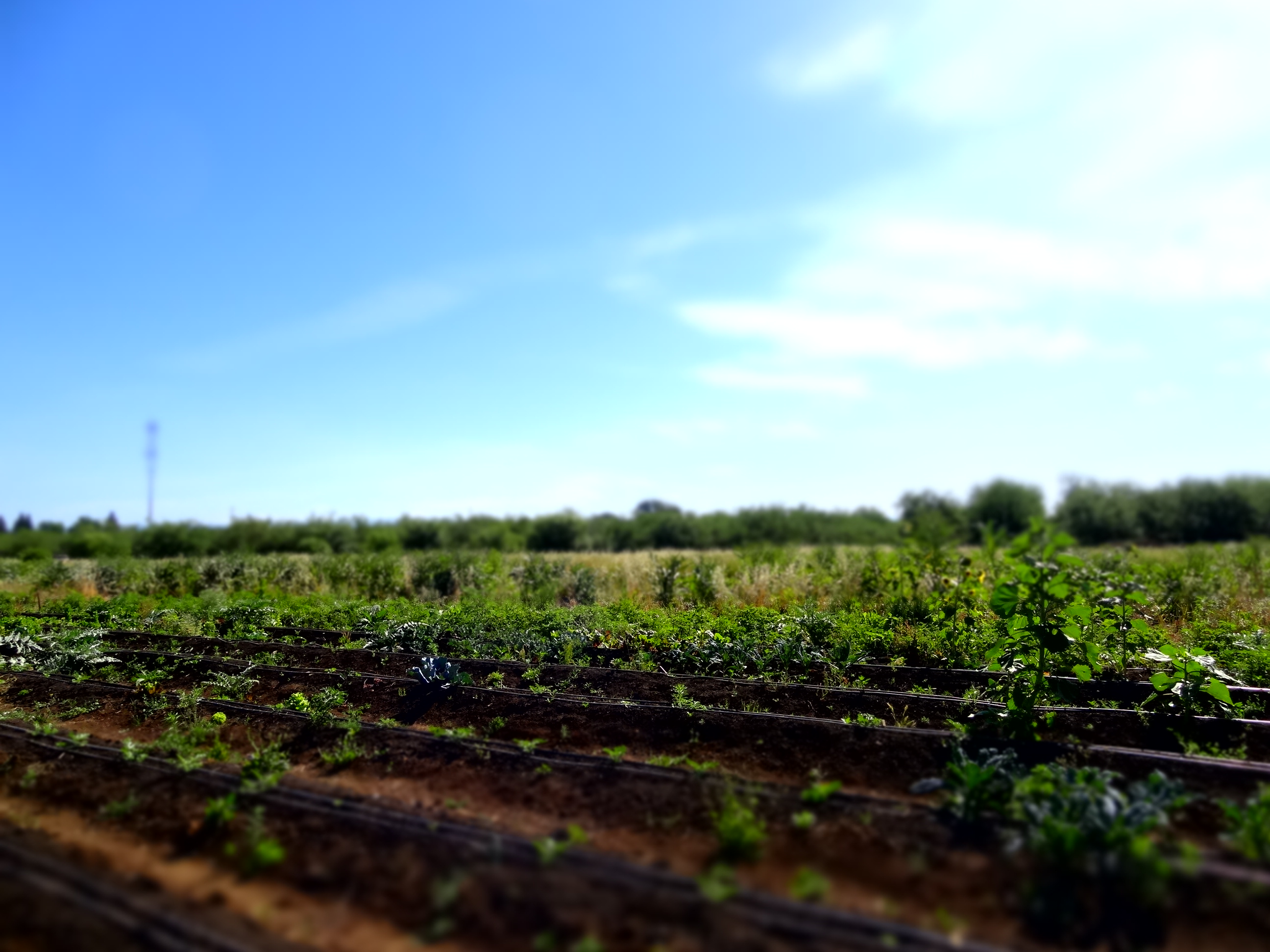
heartseed farm
canoeing 173.jpg

creek reflection
Topographic Map of Hamilton City, CA, USA
Find elevation by address:

Places in Hamilton City, CA, USA:
Places near Hamilton City, CA, USA:
Main St, Hamilton City, CA, USA
Co Rd 16, Orland, CA, USA
E Commercial St, Chico, CA, USA
Anita Rd, Chico, CA, USA
Sacramento River
Co Rd 32, Glenn, CA, USA
2961 Ca-32
4295 Stable Ln
855 Henshaw Ave
1483 Trenta Dr
2135 Nord Ave
5018 Guntren Rd
23 Herlax Cir
31 Kingsburry Ct
153 Emerald Lake Ct
1012 Regency Dr
400 Mission Ranch Blvd
3896 St Lucia Ct
807 Sequoyah Ave
123 Henshaw Ave
Recent Searches:
- Elevation of Beall Road, Beall Rd, Florida, USA
- Elevation of Leguwa, Nepal
- Elevation of County Rd, Enterprise, AL, USA
- Elevation of Kolchuginsky District, Vladimir Oblast, Russia
- Elevation of Shustino, Vladimir Oblast, Russia
- Elevation of Lampiasi St, Sarasota, FL, USA
- Elevation of Elwyn Dr, Roanoke Rapids, NC, USA
- Elevation of Congressional Dr, Stevensville, MD, USA
- Elevation of Bellview Rd, McLean, VA, USA
- Elevation of Stage Island Rd, Chatham, MA, USA