Elevation map of Glenn County, CA, USA
Location: United States > California >
Longitude: -122.44672
Latitude: 39.6437813
Elevation: 240m / 787feet
Barometric Pressure: 98KPa
Elevation Map:
Satellite Map:
Related Photos:
Cockpit view
Thunderhill - North Paddock
#ptsf & Matthew at the basecamp
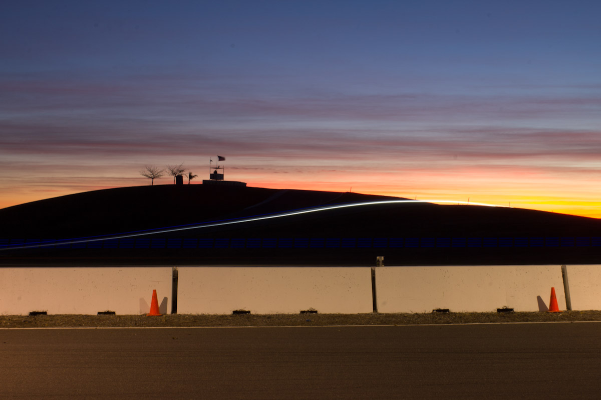
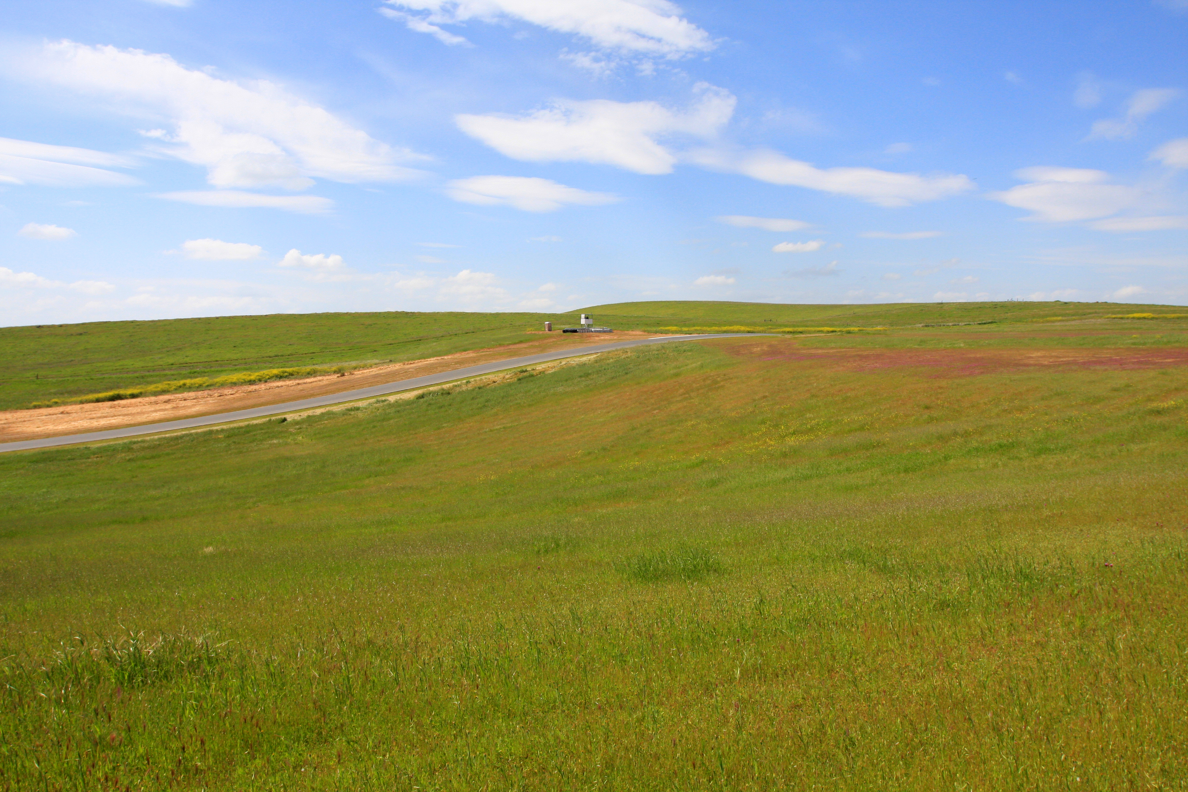
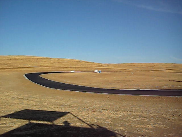
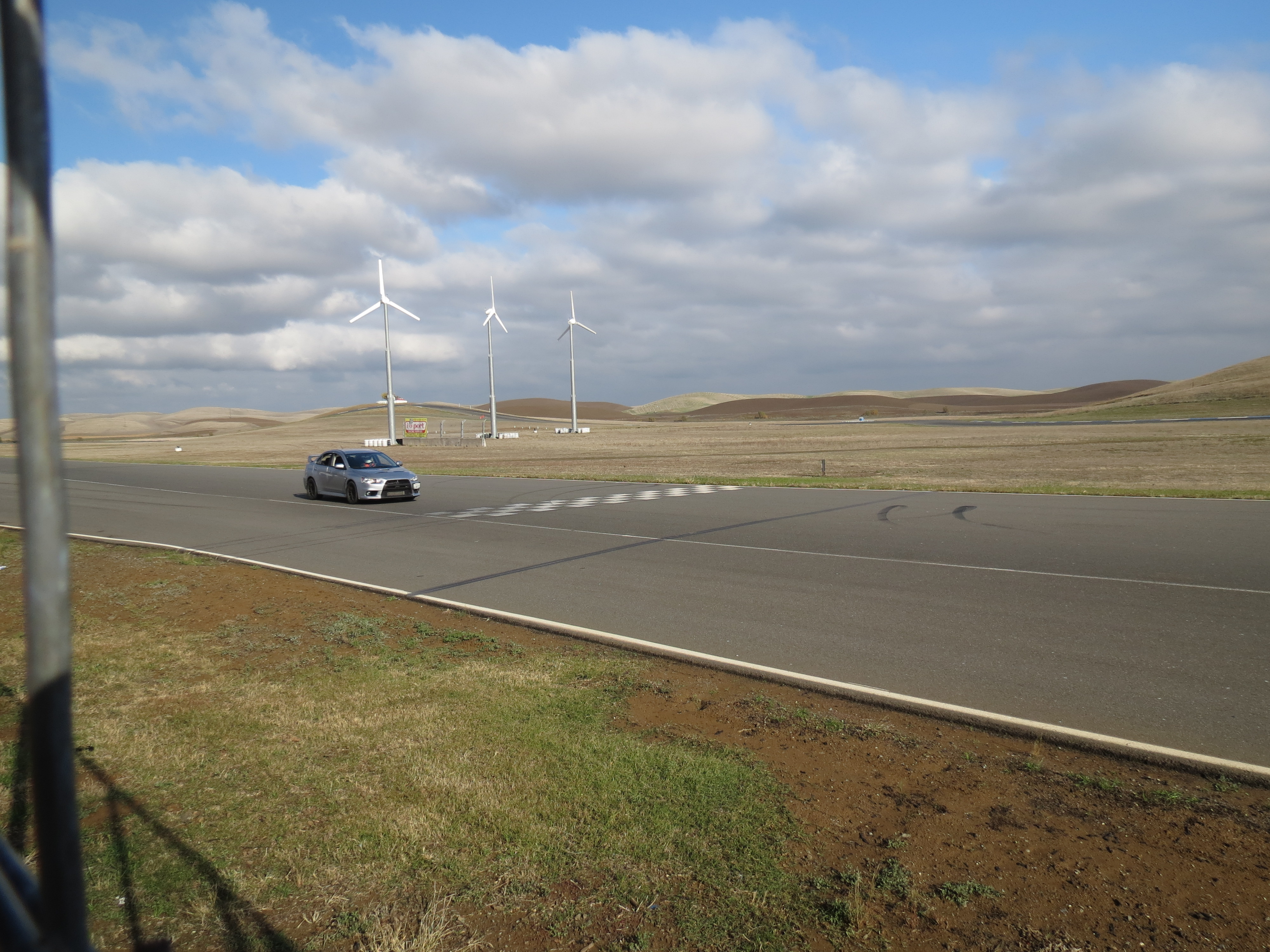
Thunderhill Raceway Park
APM_T25hr-113
Thunderhill Raceway Park
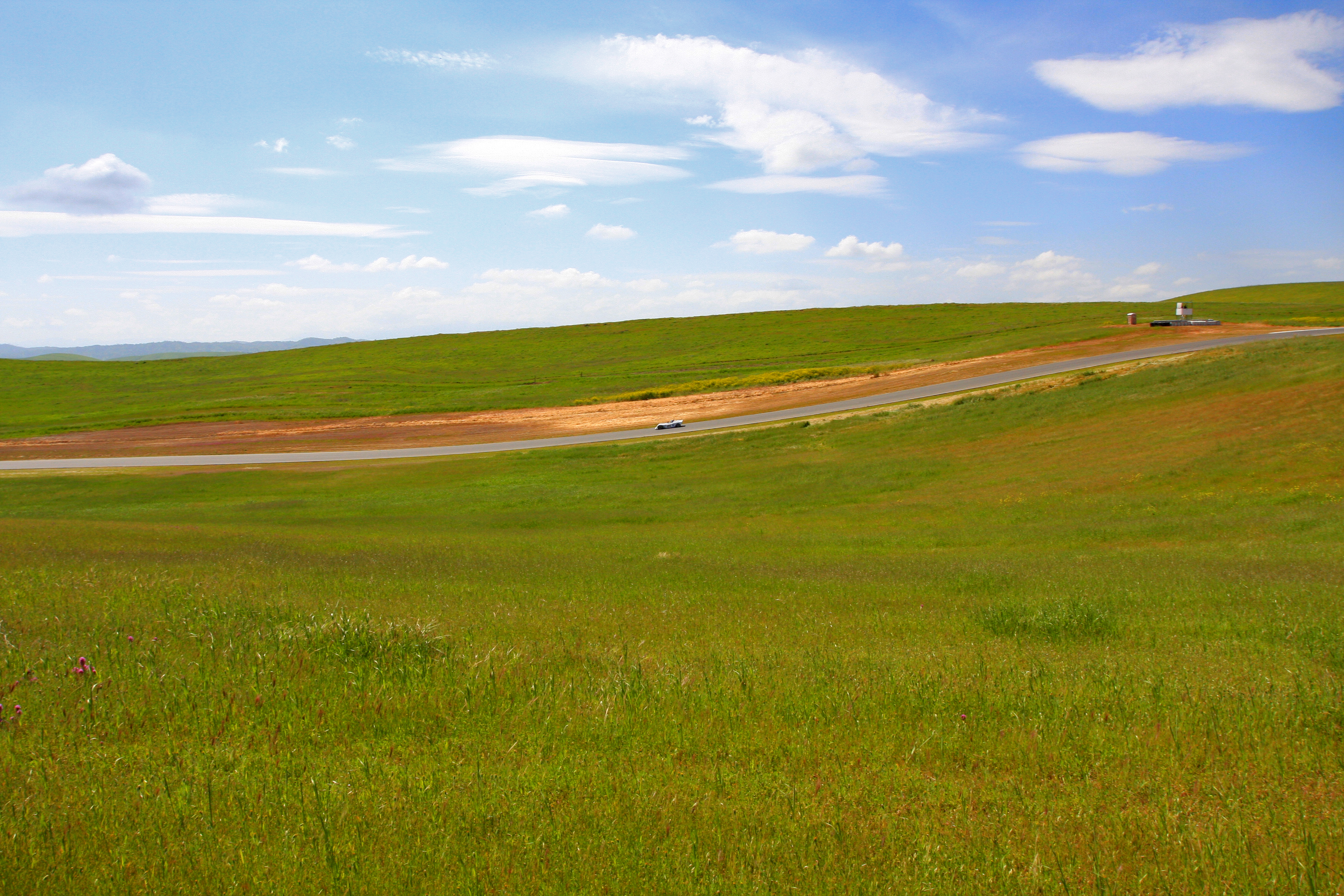
Thunderhill Raceway Park
Soon to be loud and messy
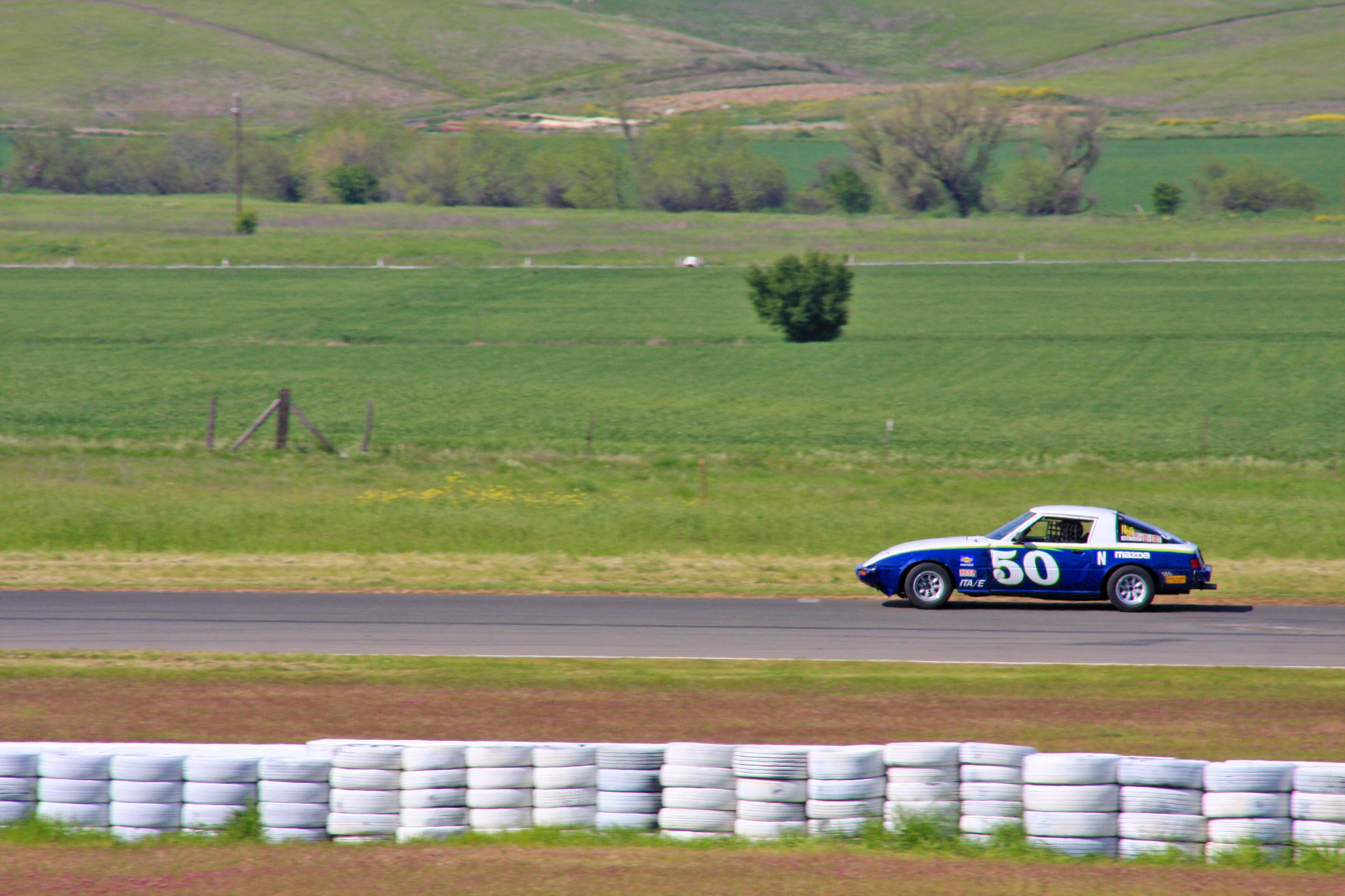
Thunderhill Raceway Park
NASA Teen Car Control Clinic 11-25-11 (182)
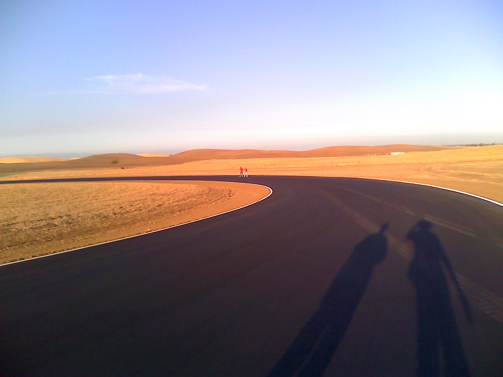
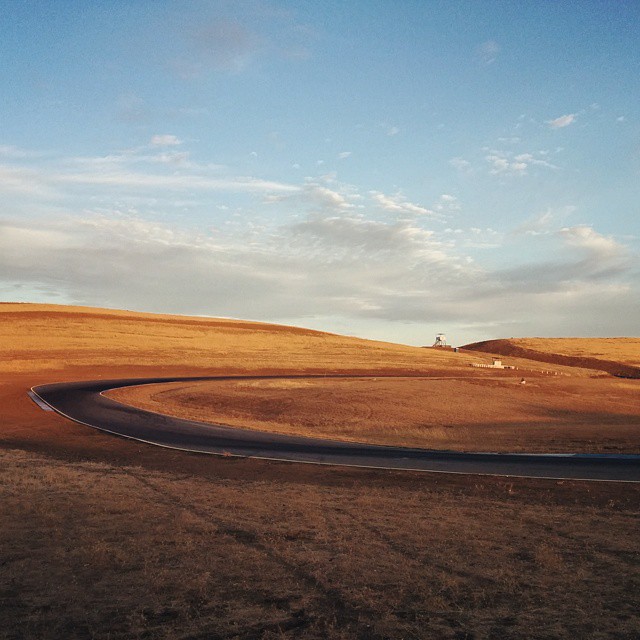
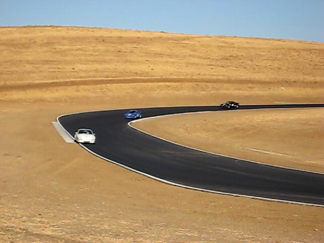
Turn 2
NASA Teen Car Control Clinic 11-25-11 (183)
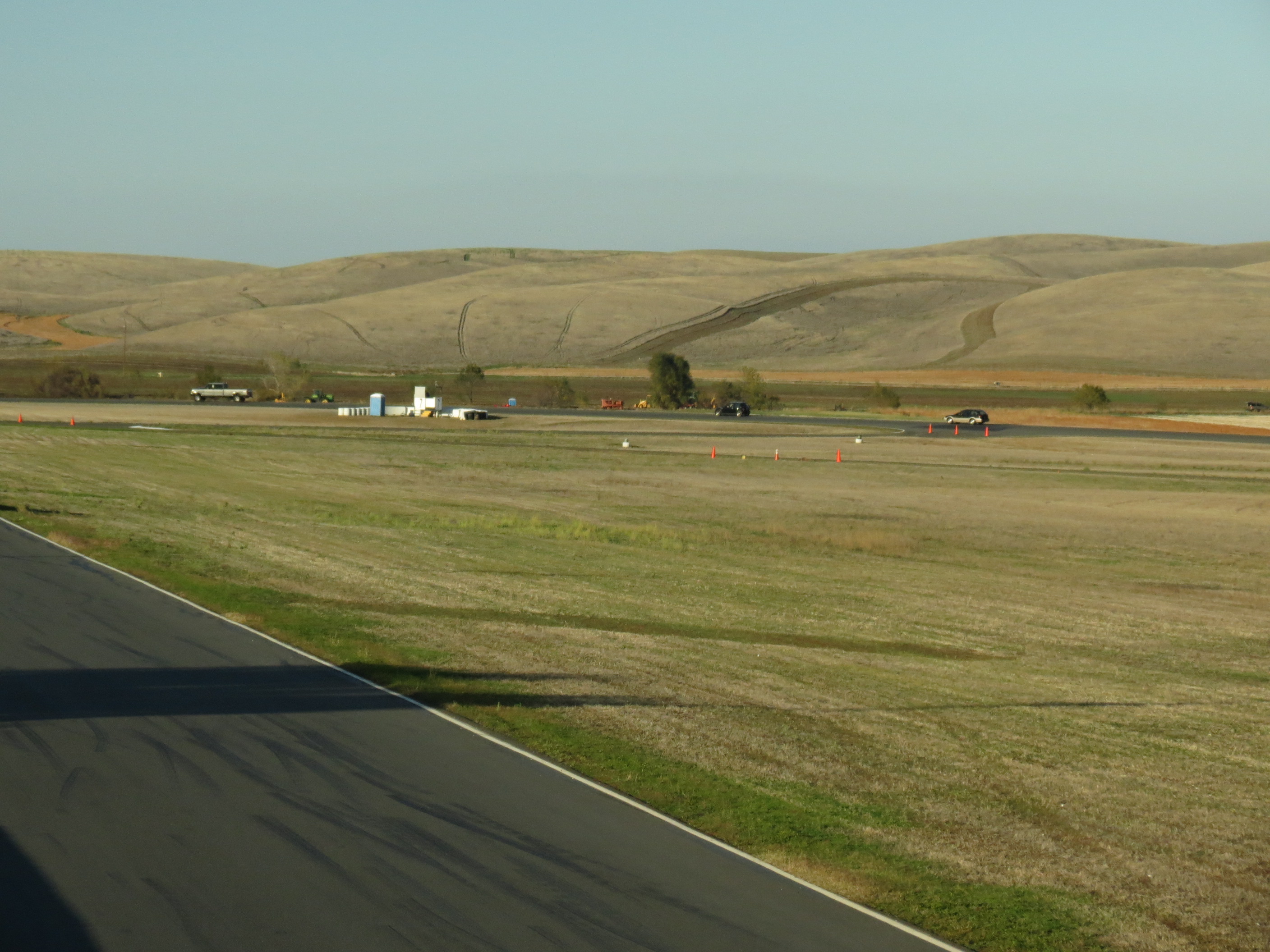
sunday-prc-group-warmup-1

Media in the Sky
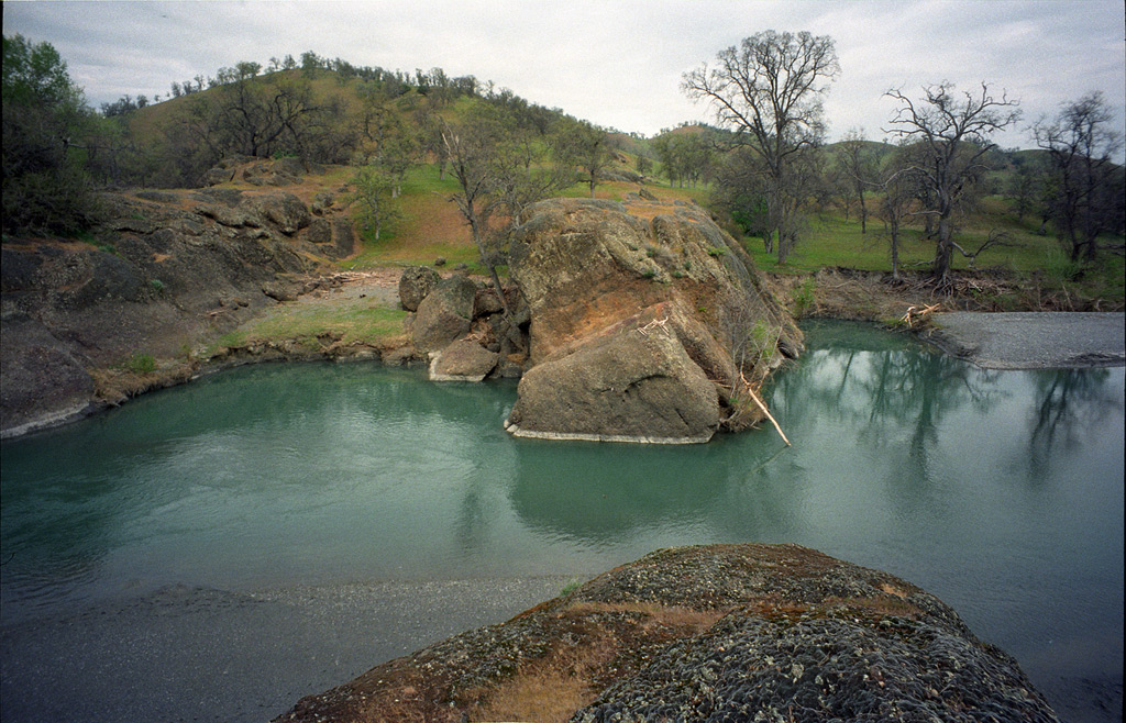
Julian Rocks, 1997

Irrigation Boom
Julian Rocks, 1997
NASA Teen Car Control Clinic 11-25-11 (49)
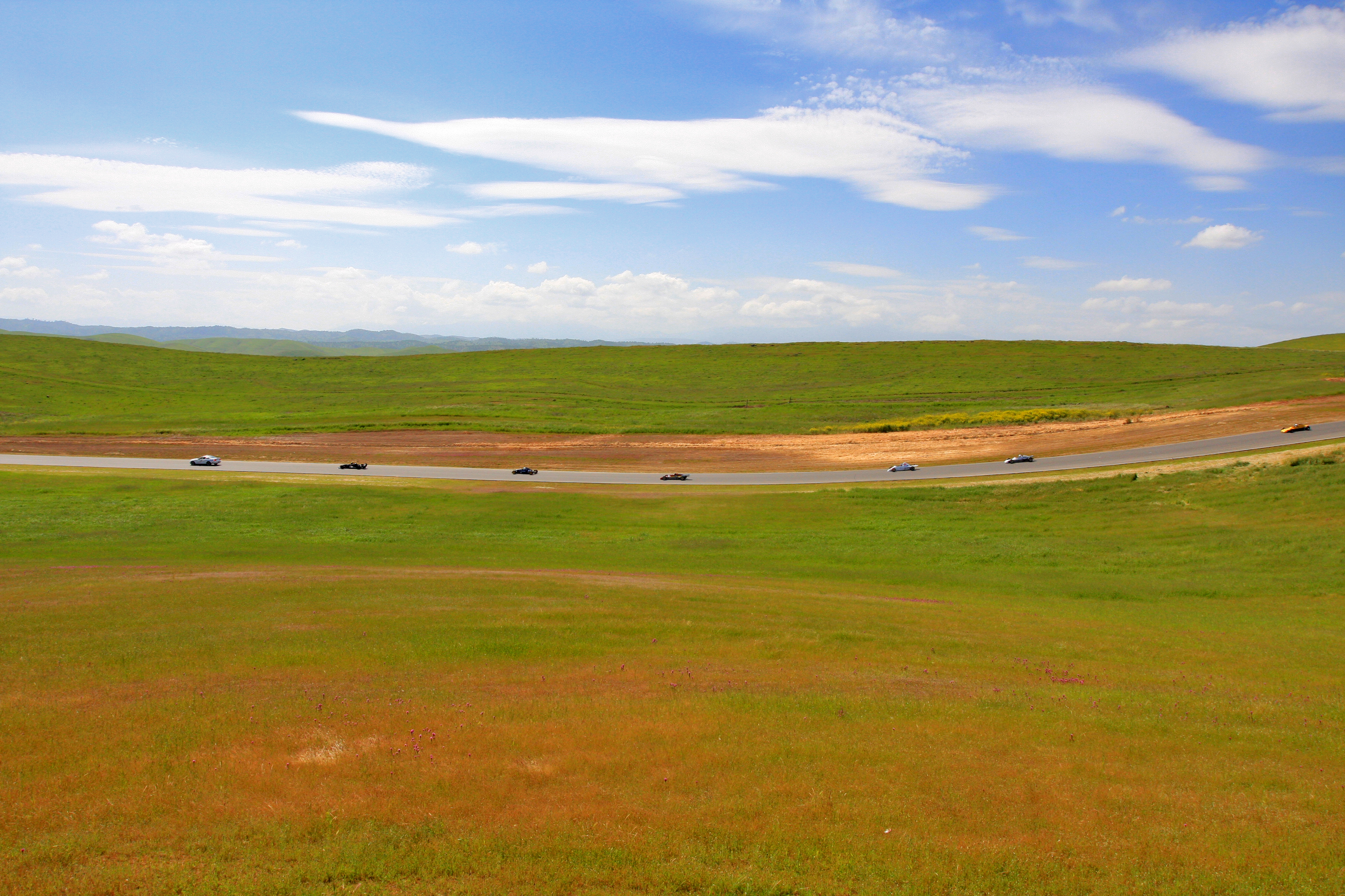
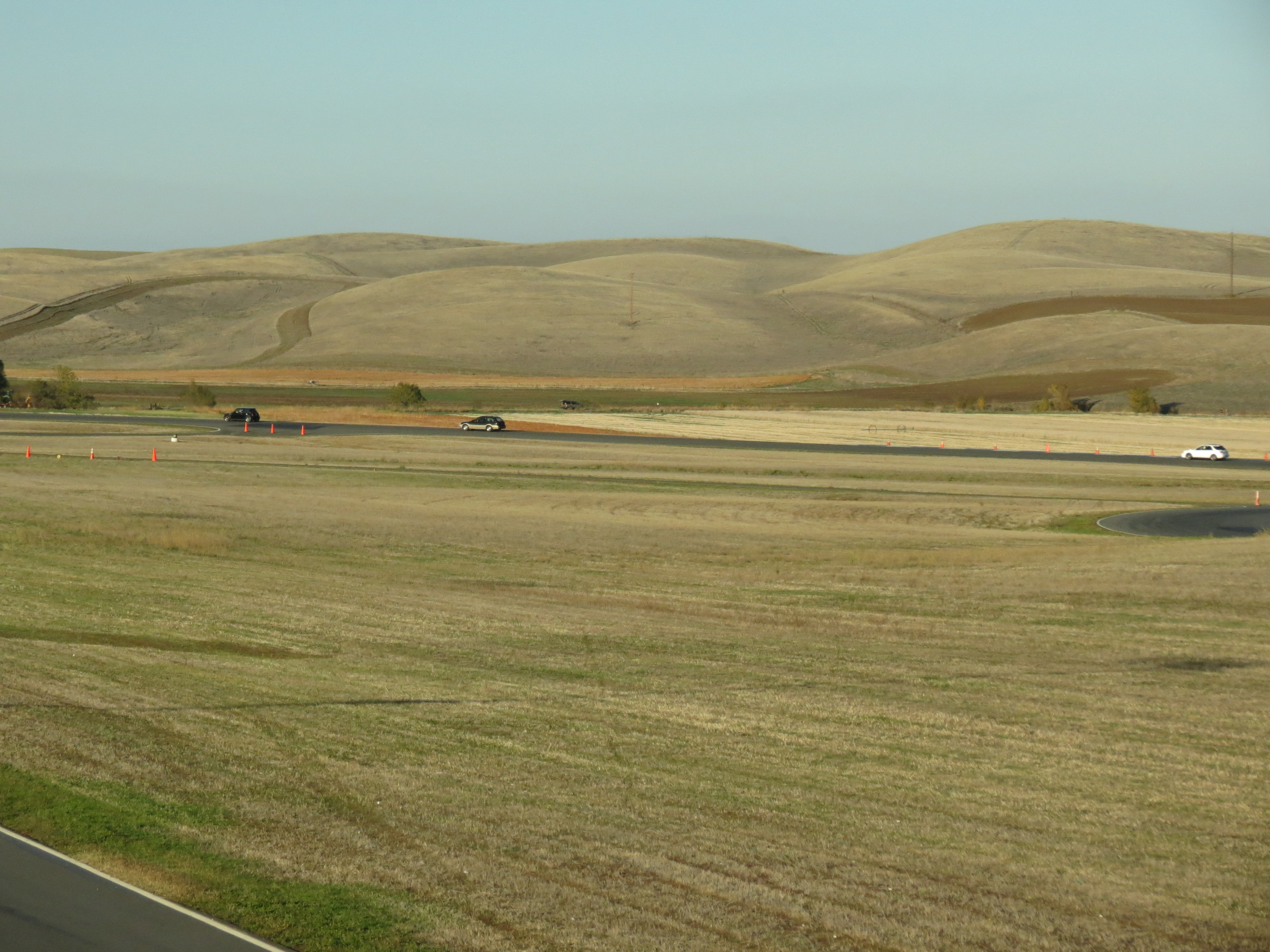
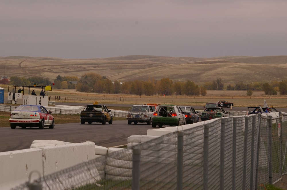
SCCA race day
sunday-prc-group-warmup-3
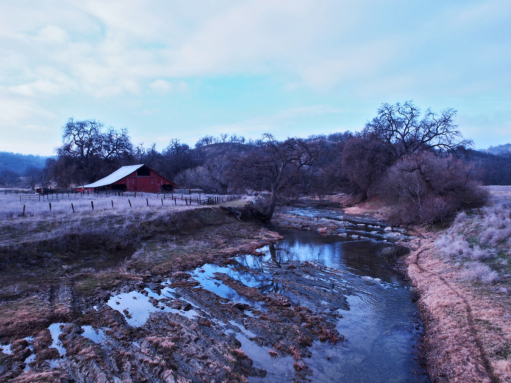
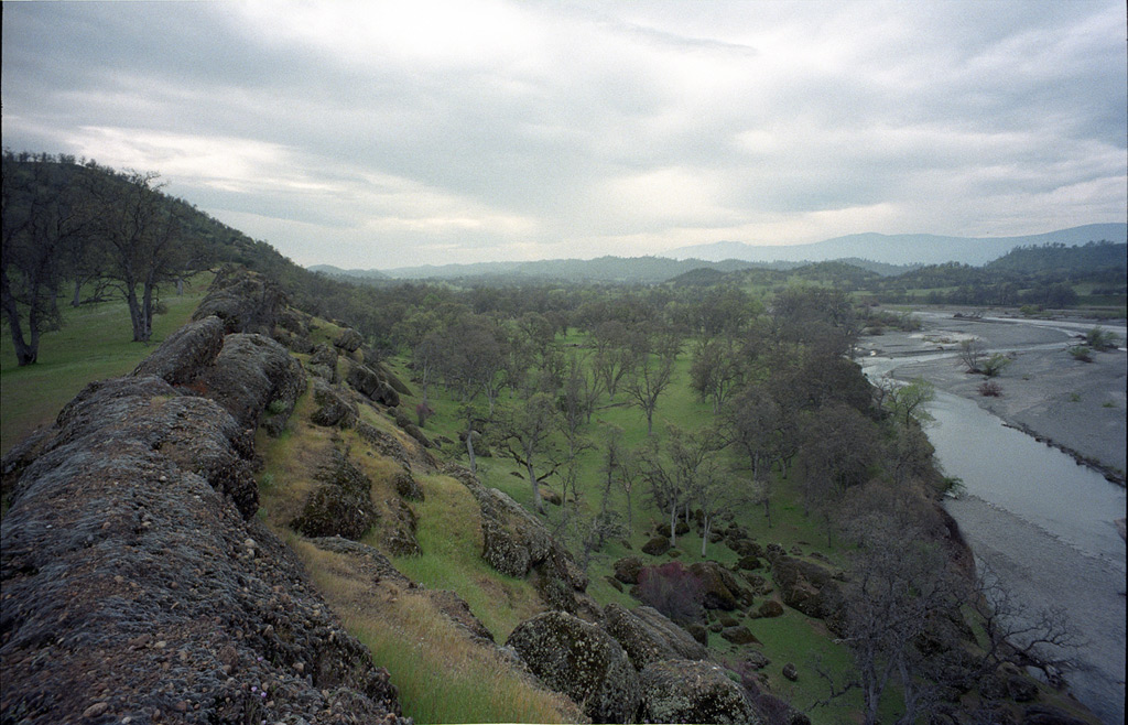
Burris Creek at Newville Road

IMGP9668.JPG
IMGP9668.JPG
Topographic Map of Glenn County, CA, USA
Find elevation by address:

Places in Glenn County, CA, USA:
Orland
Willows
Elk Creek
Glenn
Artois
Princeton
Hamilton City
Brushy Mountain
Co Rd, Orland, CA, USA
Places near Glenn County, CA, USA:
Cherry St, Willows, CA, USA
Bidwell St, Elk Creek, CA, USA
Elk Creek
Road 308
County Road, Orland, CA, USA
Forest Highway 7 & Alder Springs Road
Co Rd, Orland, CA, USA
Newville Road
Road 308
Paskenta Rd, Paskenta, CA, USA
Paskenta
Valley View Conservation Camp #34
15530 Paskenta Rd
Flournoy
Paskenta Rd, Corning, CA, USA
Stonyford
Rancho Tehama Reserve
Amador Court
7233 Amador Ct
Whitlock Campground
Recent Searches:
- Elevation of Corso Fratelli Cairoli, 35, Macerata MC, Italy
- Elevation of Tallevast Rd, Sarasota, FL, USA
- Elevation of 4th St E, Sonoma, CA, USA
- Elevation of Black Hollow Rd, Pennsdale, PA, USA
- Elevation of Oakland Ave, Williamsport, PA, USA
- Elevation of Pedrógão Grande, Portugal
- Elevation of Klee Dr, Martinsburg, WV, USA
- Elevation of Via Roma, Pieranica CR, Italy
- Elevation of Tavkvetili Mountain, Georgia
- Elevation of Hartfords Bluff Cir, Mt Pleasant, SC, USA