Elevation of County Road, Orland, CA, USA
Location: United States > California > Glenn County > Orland >
Longitude: -122.54993
Latitude: 39.730457
Elevation: 284m / 932feet
Barometric Pressure: 98KPa
Elevation Map:
Satellite Map:
Related Photos:
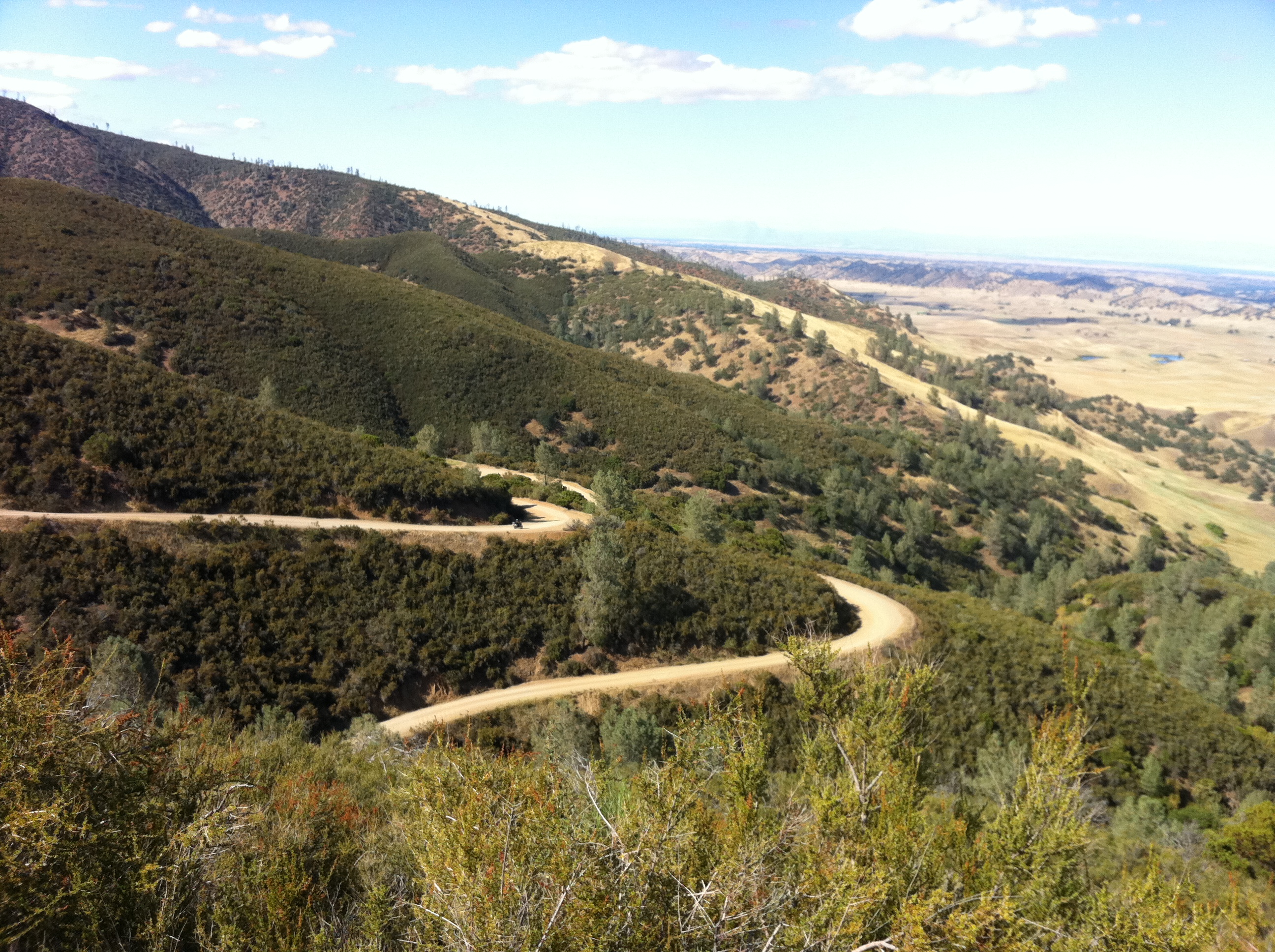
Snow Mountain from near Black Butte Lake
Black Butte Resevior panorama 5

A Big Sky on Newville Road 1
Rattlesnake Fire vista
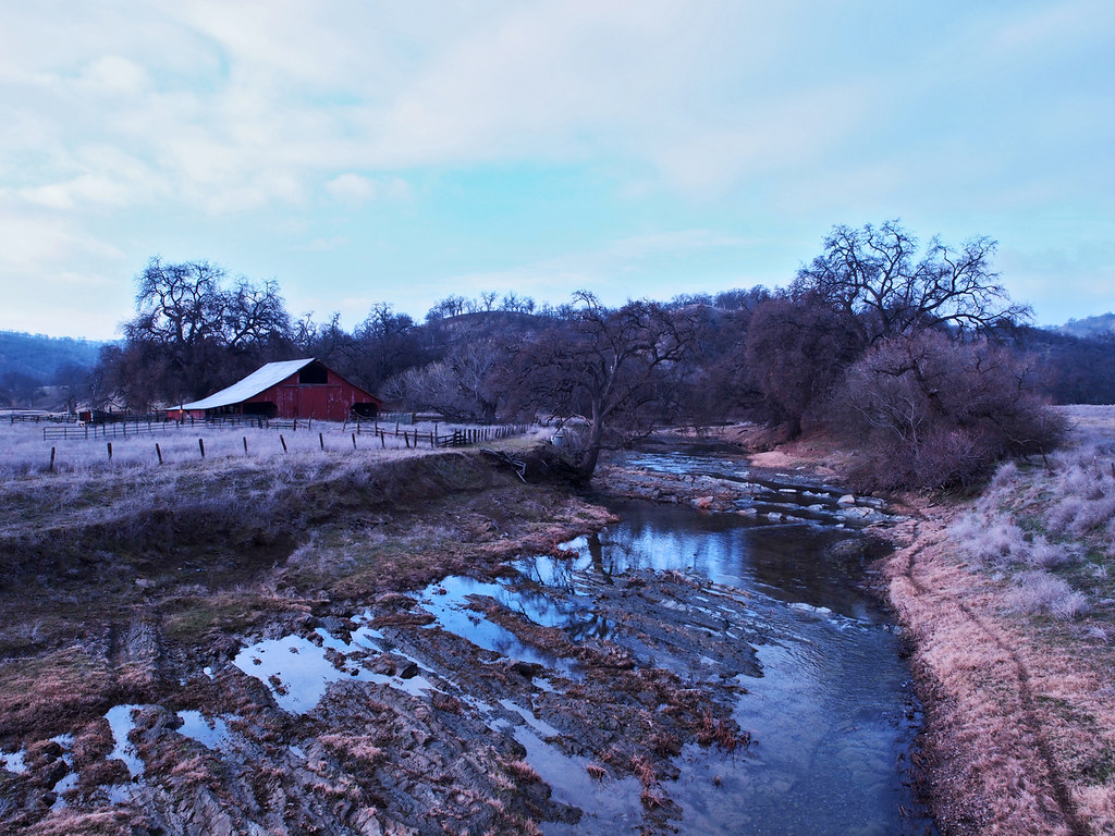
Thomes Creek pond
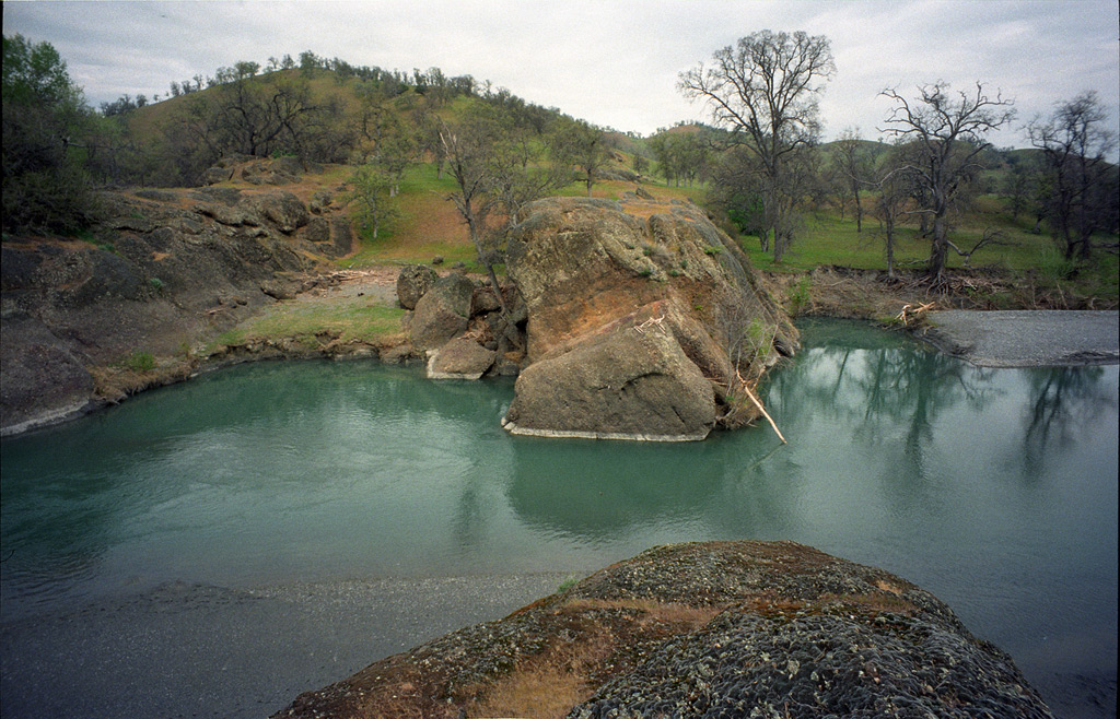
Julian Rocks, 1997
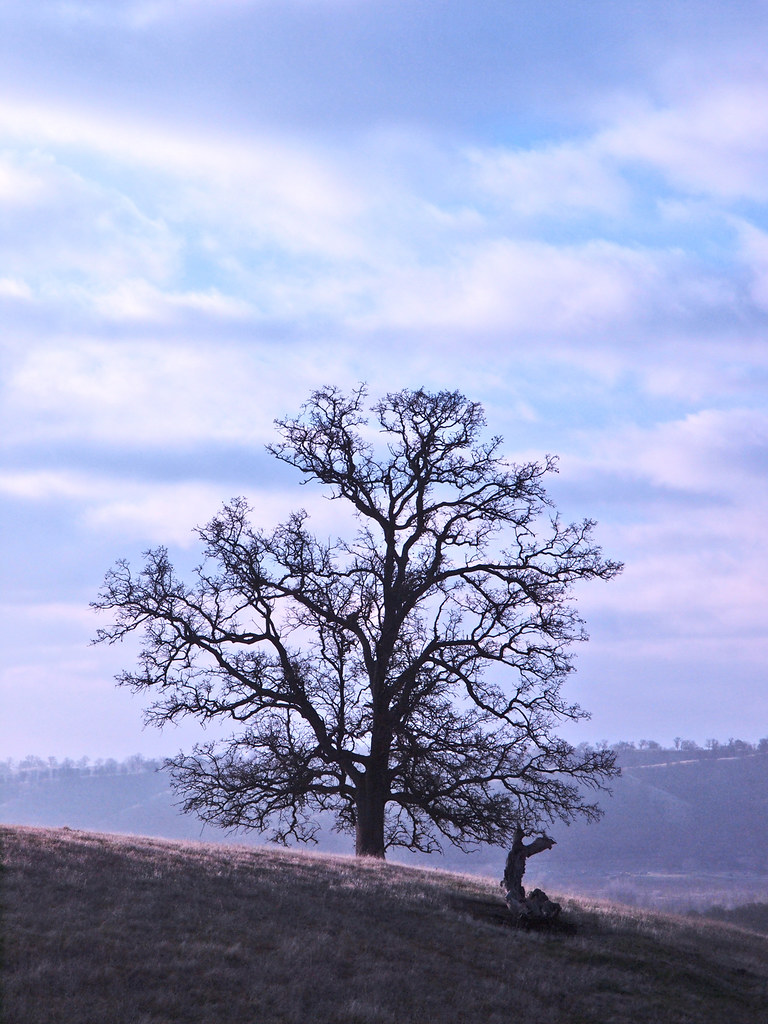
Arteries of an old Oak

Mendocino National Forest
Julian Rocks, 1997
Burris Creek at Newville Road
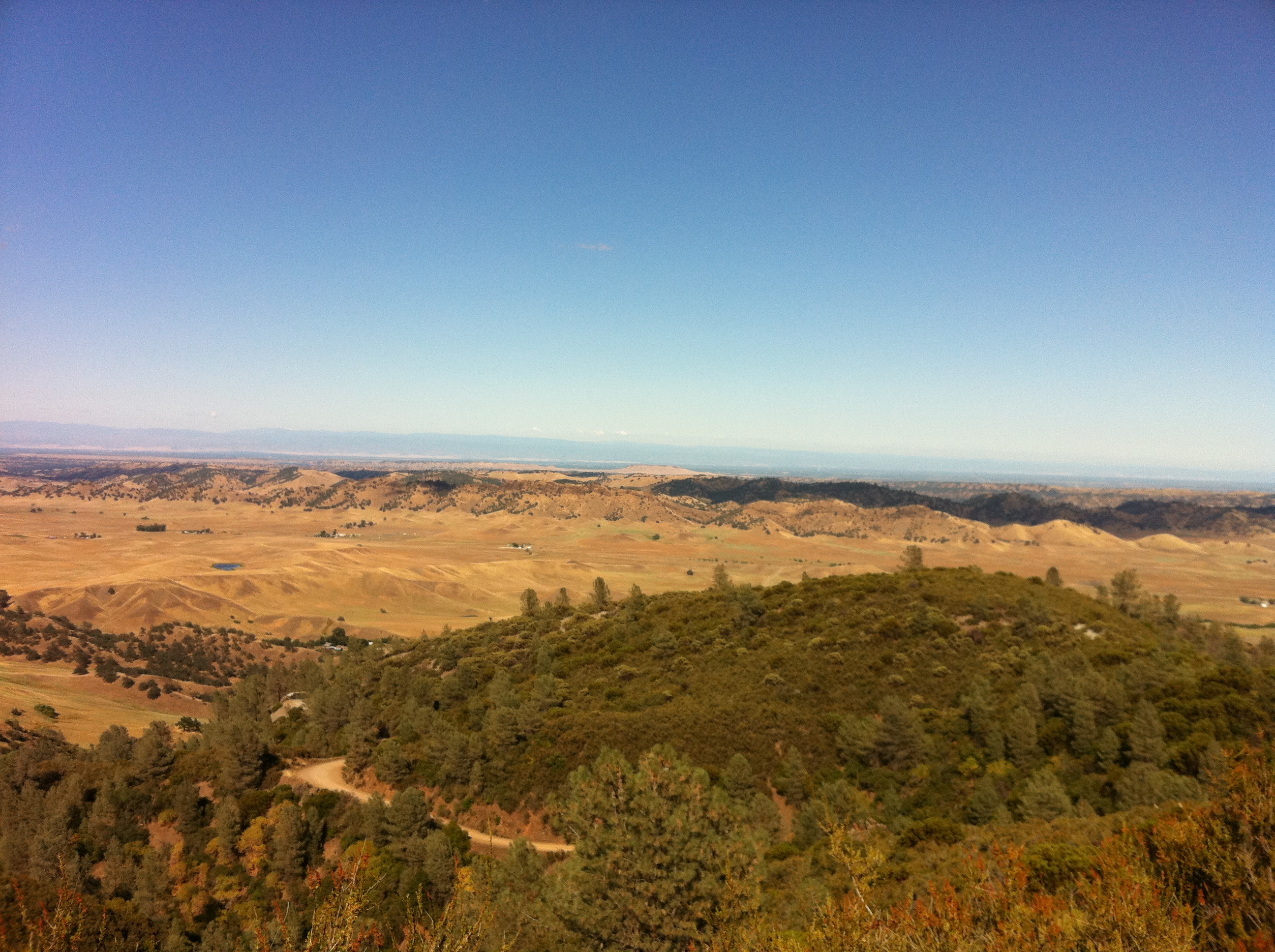
Vista del Calor
This was good times
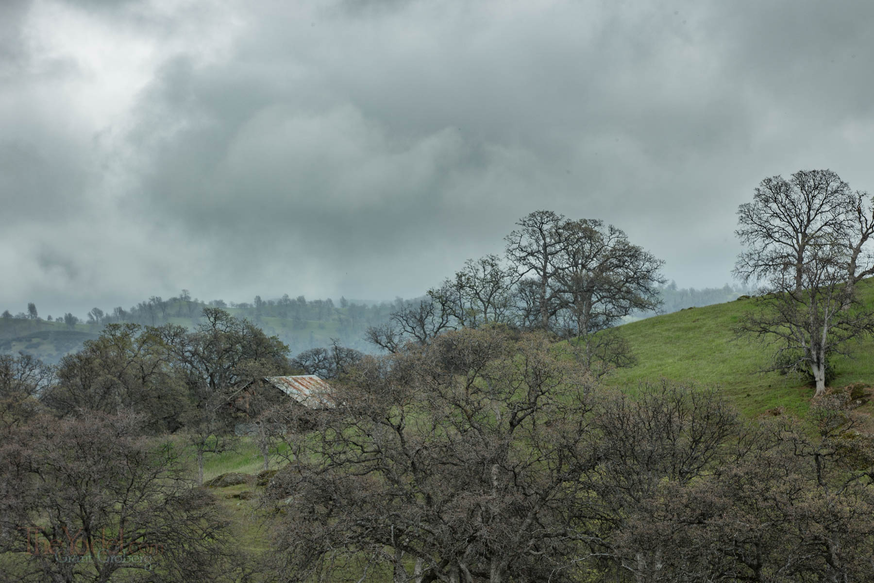
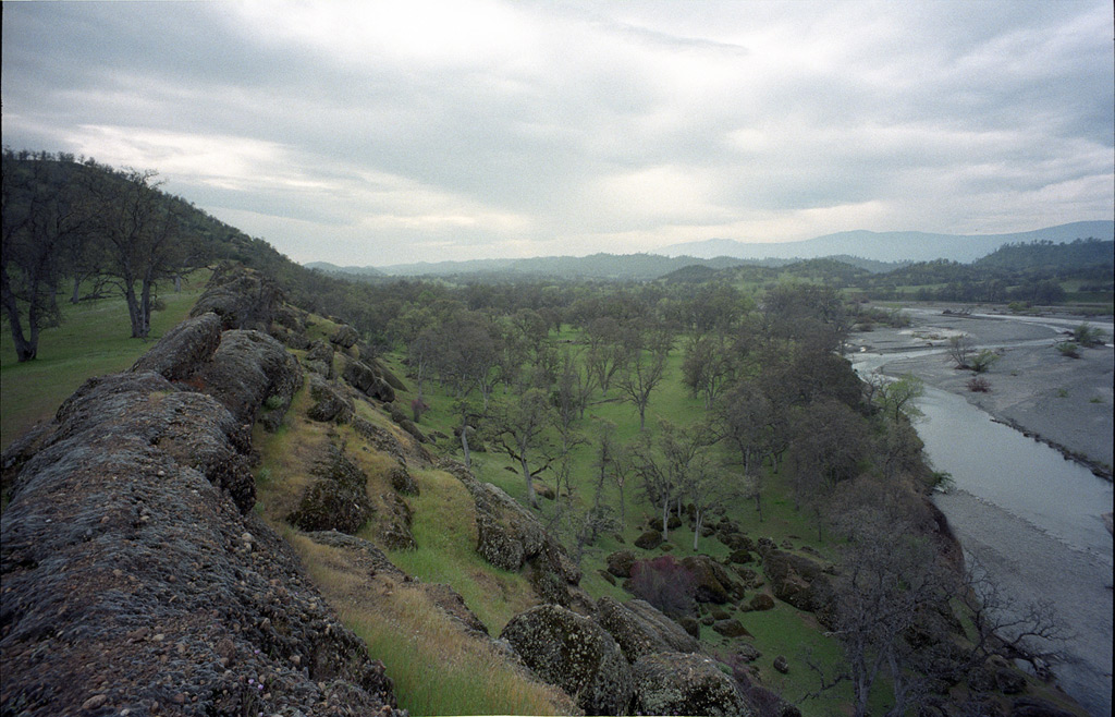
California foothills
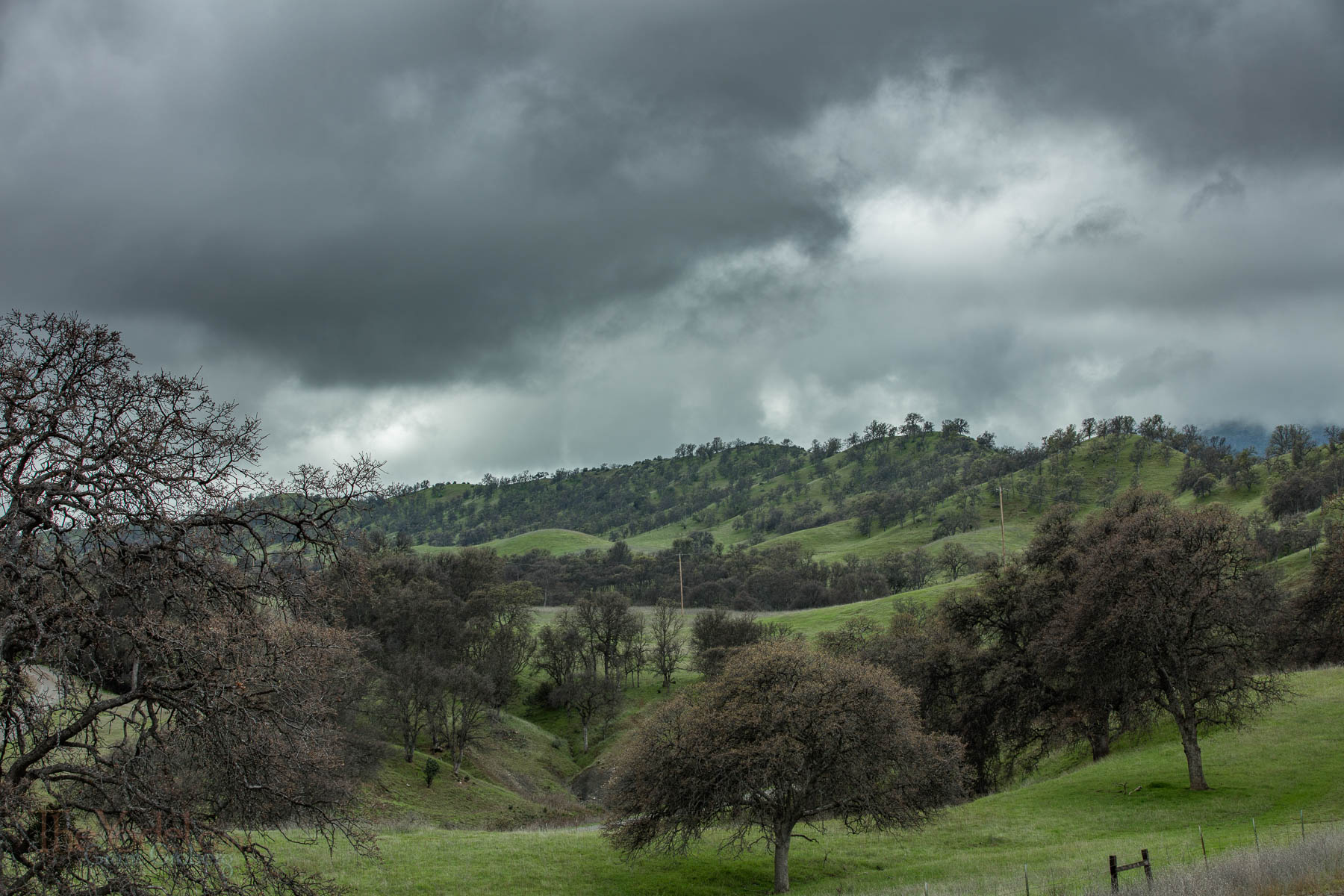
California foothills
Topographic Map of County Road, Orland, CA, USA
Find elevation by address:

Places near County Road, Orland, CA, USA:
Co Rd, Orland, CA, USA
Forest Highway 7 & Alder Springs Road
Bidwell St, Elk Creek, CA, USA
Elk Creek
Glenn County
Road 308
Paskenta
Paskenta Rd, Paskenta, CA, USA
Cherry St, Willows, CA, USA
Newville Road
Valley View Conservation Camp #34
15530 Paskenta Rd
Flournoy
Paskenta Rd, Corning, CA, USA
Whitlock Campground
Road 308
High Flats Road
Nirvana Ranch Rd, Red Bluff, CA, USA
Nirvana Ranch Rd, Red Bluff, CA, USA
Rancho Tehama Reserve
Recent Searches:
- Elevation of Corso Fratelli Cairoli, 35, Macerata MC, Italy
- Elevation of Tallevast Rd, Sarasota, FL, USA
- Elevation of 4th St E, Sonoma, CA, USA
- Elevation of Black Hollow Rd, Pennsdale, PA, USA
- Elevation of Oakland Ave, Williamsport, PA, USA
- Elevation of Pedrógão Grande, Portugal
- Elevation of Klee Dr, Martinsburg, WV, USA
- Elevation of Via Roma, Pieranica CR, Italy
- Elevation of Tavkvetili Mountain, Georgia
- Elevation of Hartfords Bluff Cir, Mt Pleasant, SC, USA