Elevation of Paskenta Rd, Paskenta, CA, USA
Location: United States > California > Tehama County > Paskenta >
Longitude: -122.54486
Latitude: 39.884599
Elevation: 231m / 758feet
Barometric Pressure: 99KPa
Elevation Map:
Satellite Map:
Related Photos:
Downtown Paskenta
Nowhere to hide.
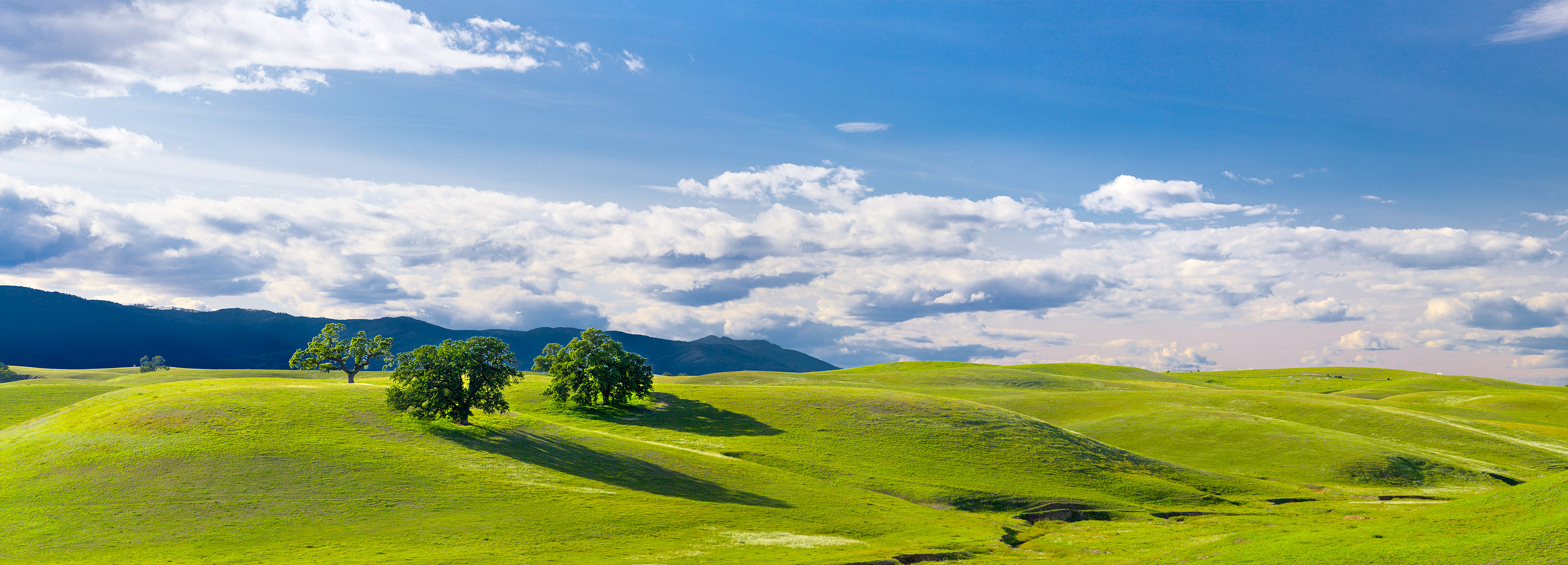
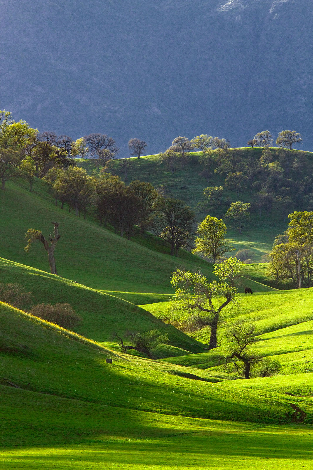
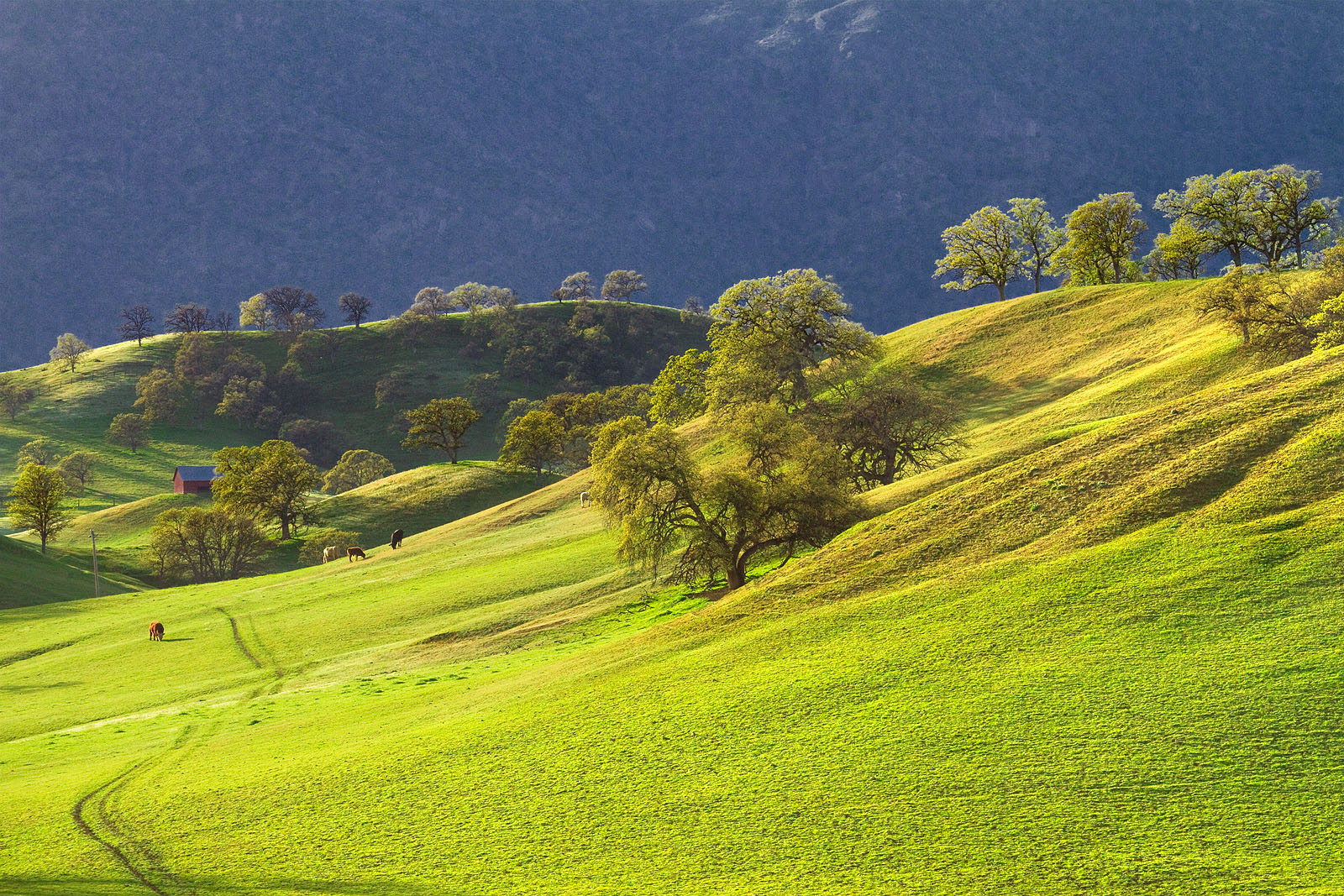
Green Hills of Spring

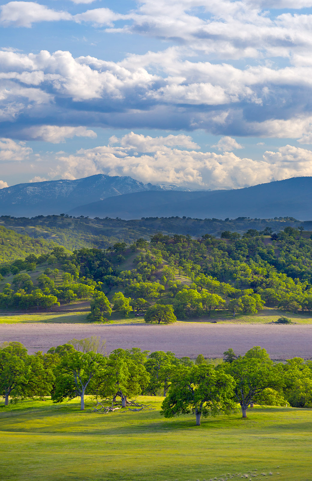
Green Hills of Spring
Snow Mountain from near Black Butte Lake
Black Butte Resevior panorama 5
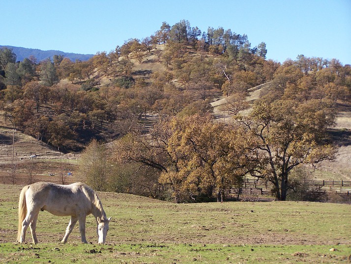
Cattle Grazing on hill near Newville
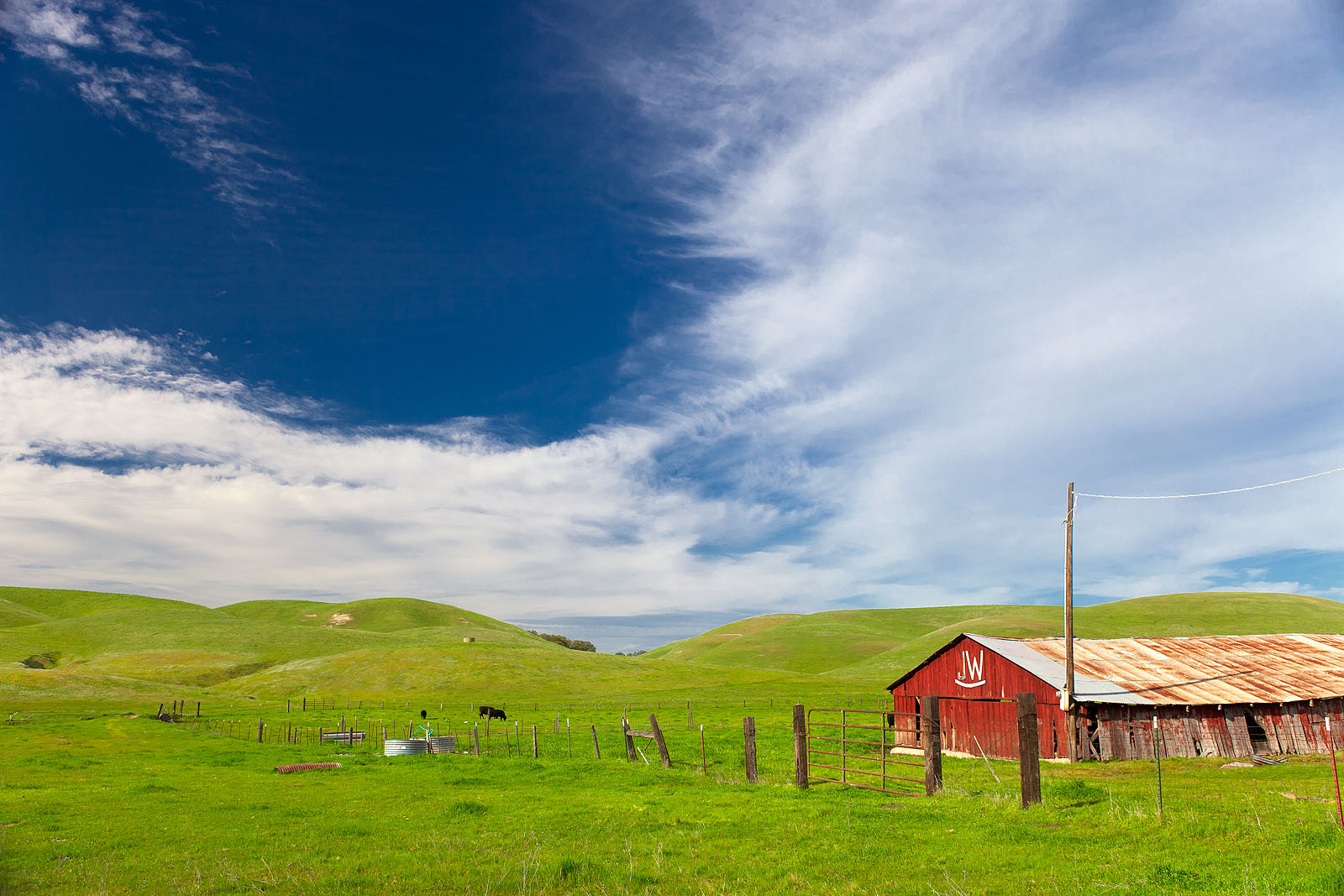
JW Ranch
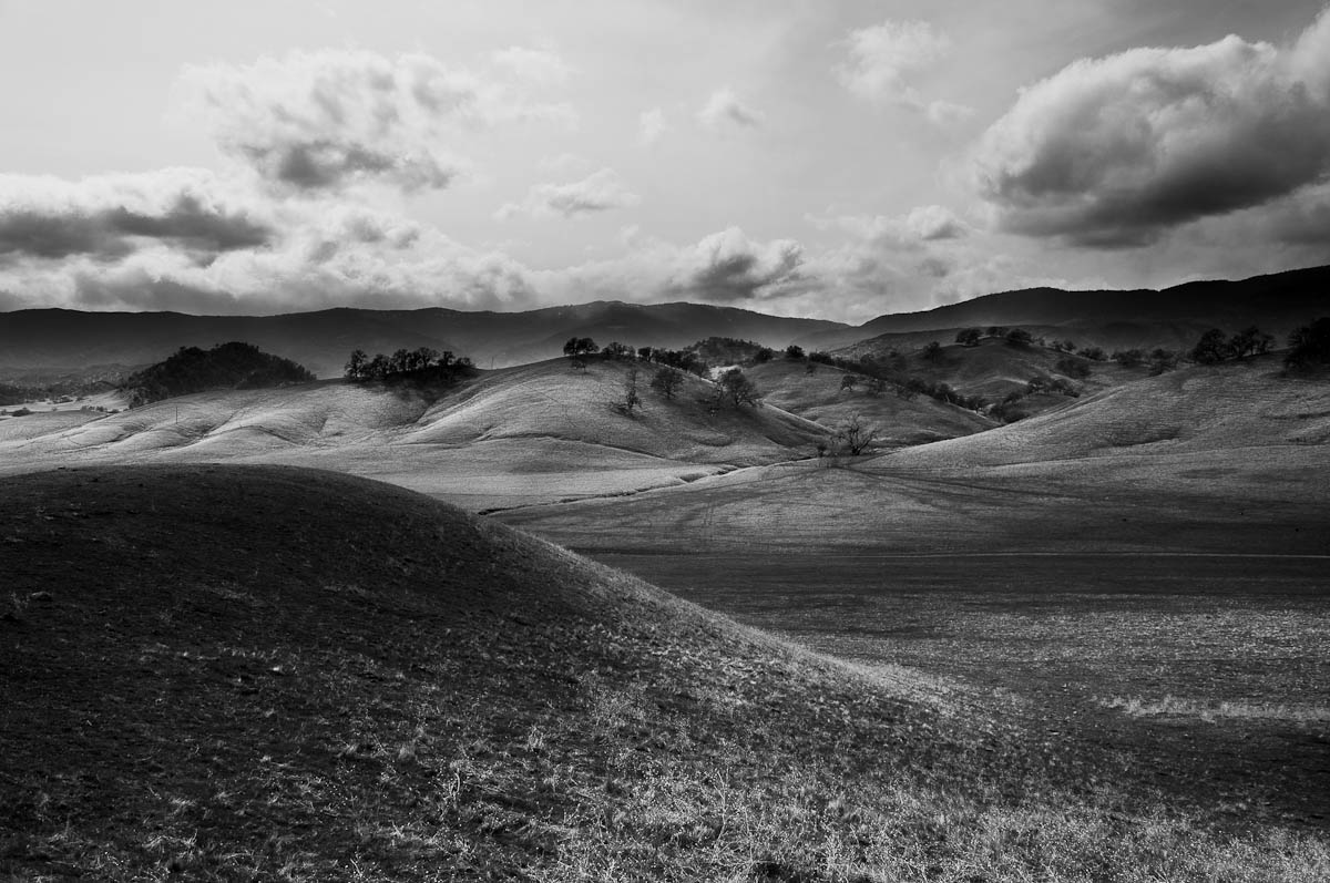
Rolling Hills near Paskenta

Rolling Hills near Paskenta

Paskenta Hills (Happy Californian Cows)
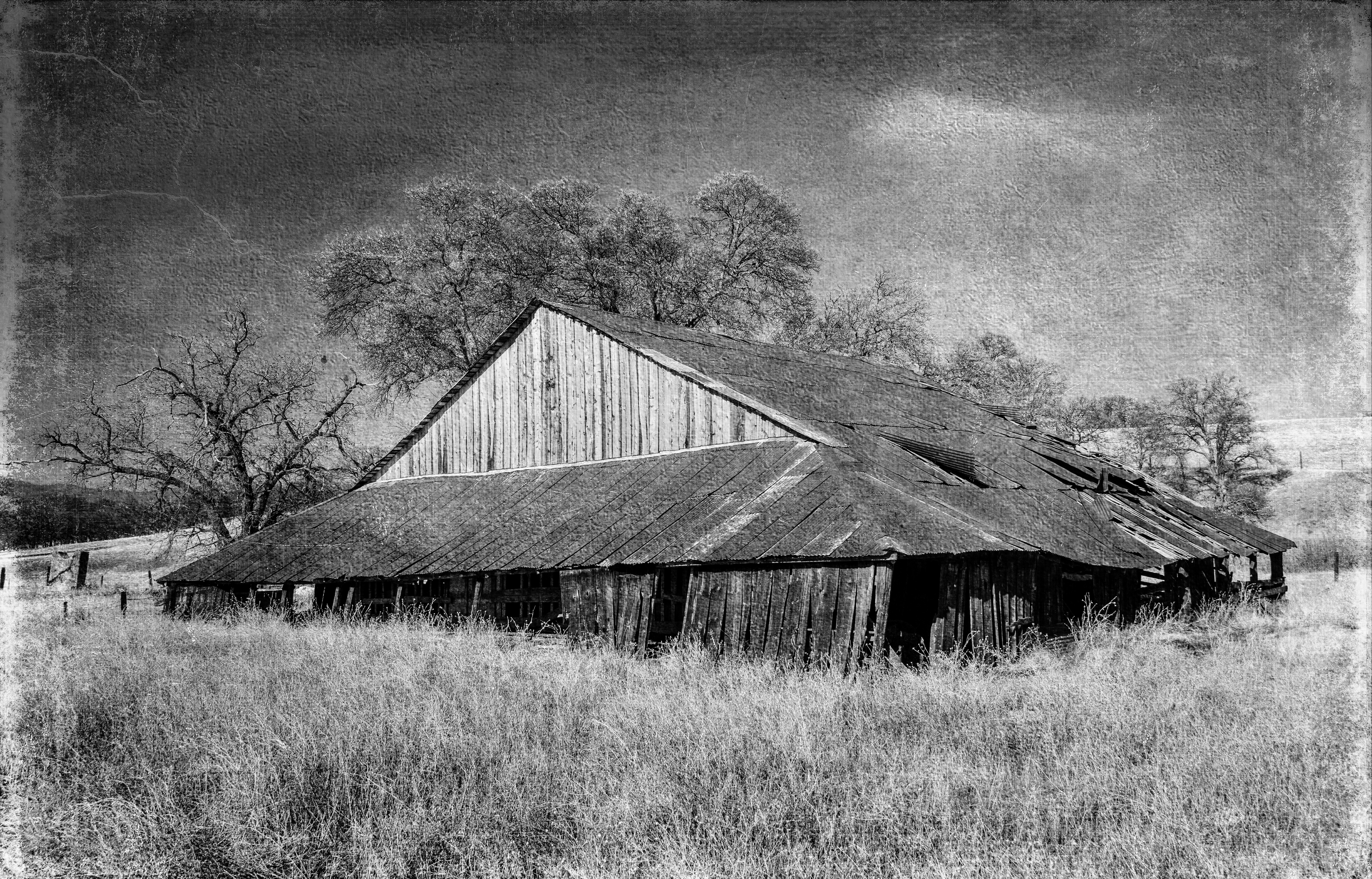
Barn near Paskenta
Rolling Hills near Paskenta
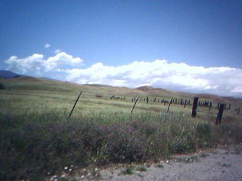
A Big Sky on Newville Road 1
Middle of Nowhere
Rolling Hills near Paskenta
East of the Middle of Nowhere
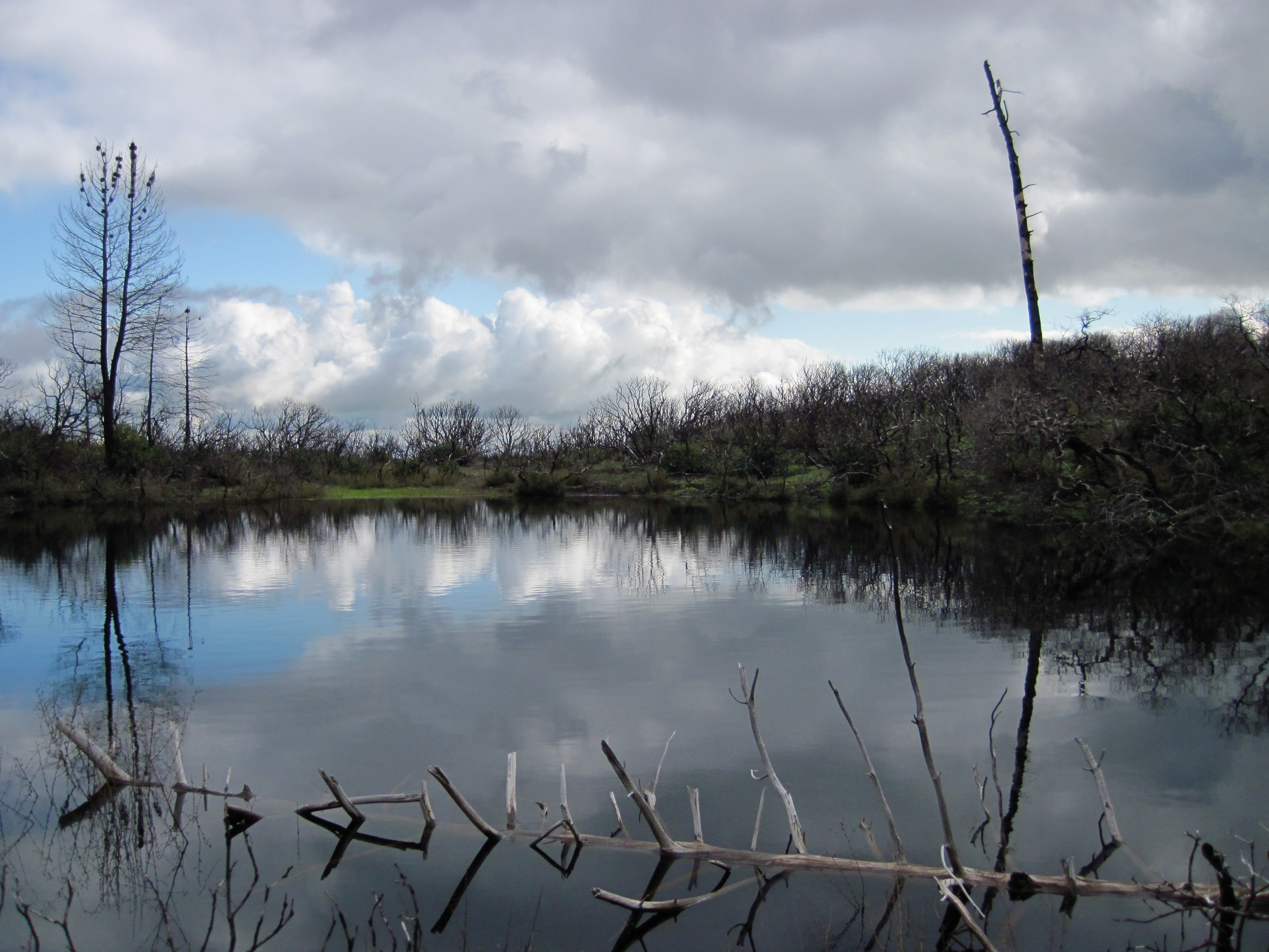
Thomes Creek pond
South Fork
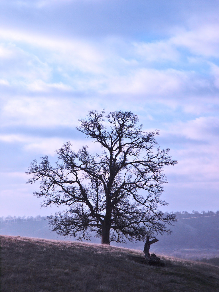
Arteries of an old Oak
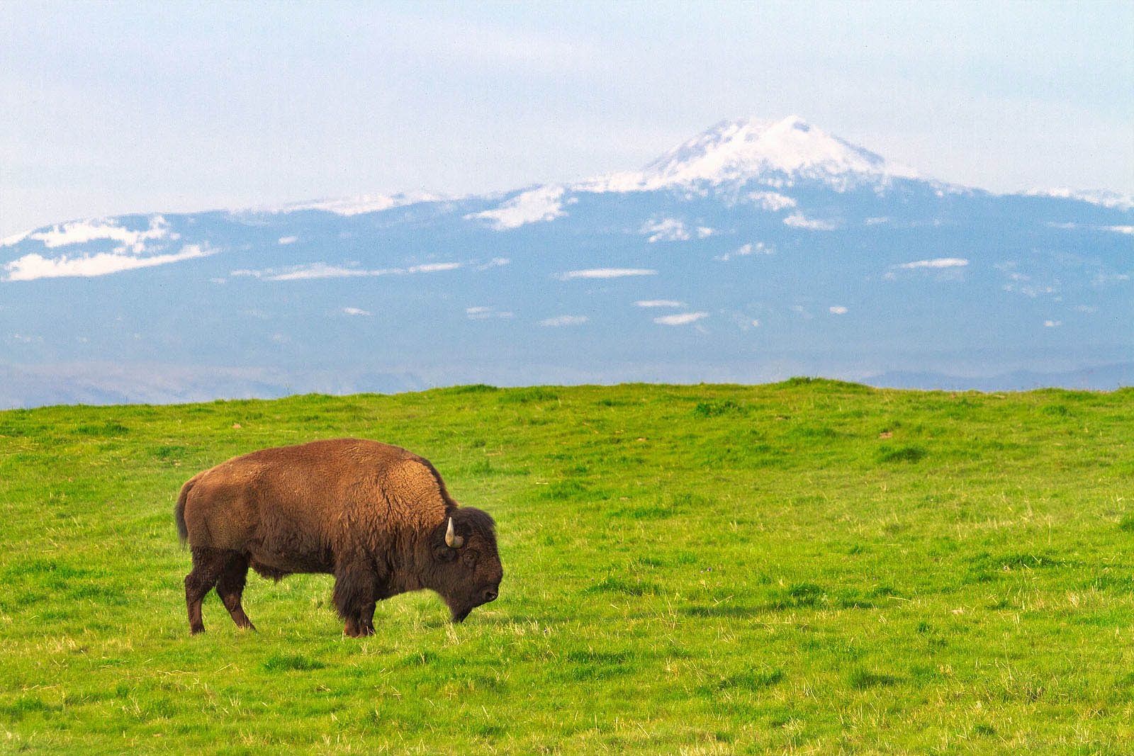
Bison and Mount Lassen
Topographic Map of Paskenta Rd, Paskenta, CA, USA
Find elevation by address:

Places near Paskenta Rd, Paskenta, CA, USA:
Paskenta
15530 Paskenta Rd
Co Rd, Orland, CA, USA
High Flats Road
Flournoy
Paskenta Rd, Corning, CA, USA
Pryor Rd, Red Bluff, CA, USA
Nirvana Ranch Rd, Red Bluff, CA, USA
Nirvana Ranch Rd, Red Bluff, CA, USA
Rancho Tehama Reserve
Whitlock Campground
Amador Court
County Road, Orland, CA, USA
Newville Road
Colyer Springs Rd, Red Bluff, CA, USA
Colyer Springs Rd, Red Bluff, CA, USA
Forest Highway 7 & Alder Springs Road
Red Bank Rd, Red Bluff, CA, USA
Glenn County
Bidwell St, Elk Creek, CA, USA
Recent Searches:
- Elevation of Rojo Ct, Atascadero, CA, USA
- Elevation of Flagstaff Drive, Flagstaff Dr, North Carolina, USA
- Elevation of Avery Ln, Lakeland, FL, USA
- Elevation of Woolwine, VA, USA
- Elevation of Lumagwas Diversified Farmers Multi-Purpose Cooperative, Lumagwas, Adtuyon, RV32+MH7, Pangantucan, Bukidnon, Philippines
- Elevation of Homestead Ridge, New Braunfels, TX, USA
- Elevation of Orchard Road, Orchard Rd, Marlborough, NY, USA
- Elevation of 12 Hutchinson Woods Dr, Fletcher, NC, USA
- Elevation of Holloway Ave, San Francisco, CA, USA
- Elevation of Norfolk, NY, USA