Elevation of Elk Creek, CA, USA
Location: United States > California > Glenn County >
Longitude: -122.53980
Latitude: 39.6050699
Elevation: 229m / 751feet
Barometric Pressure: 99KPa
Elevation Map:
Satellite Map:
Related Photos:
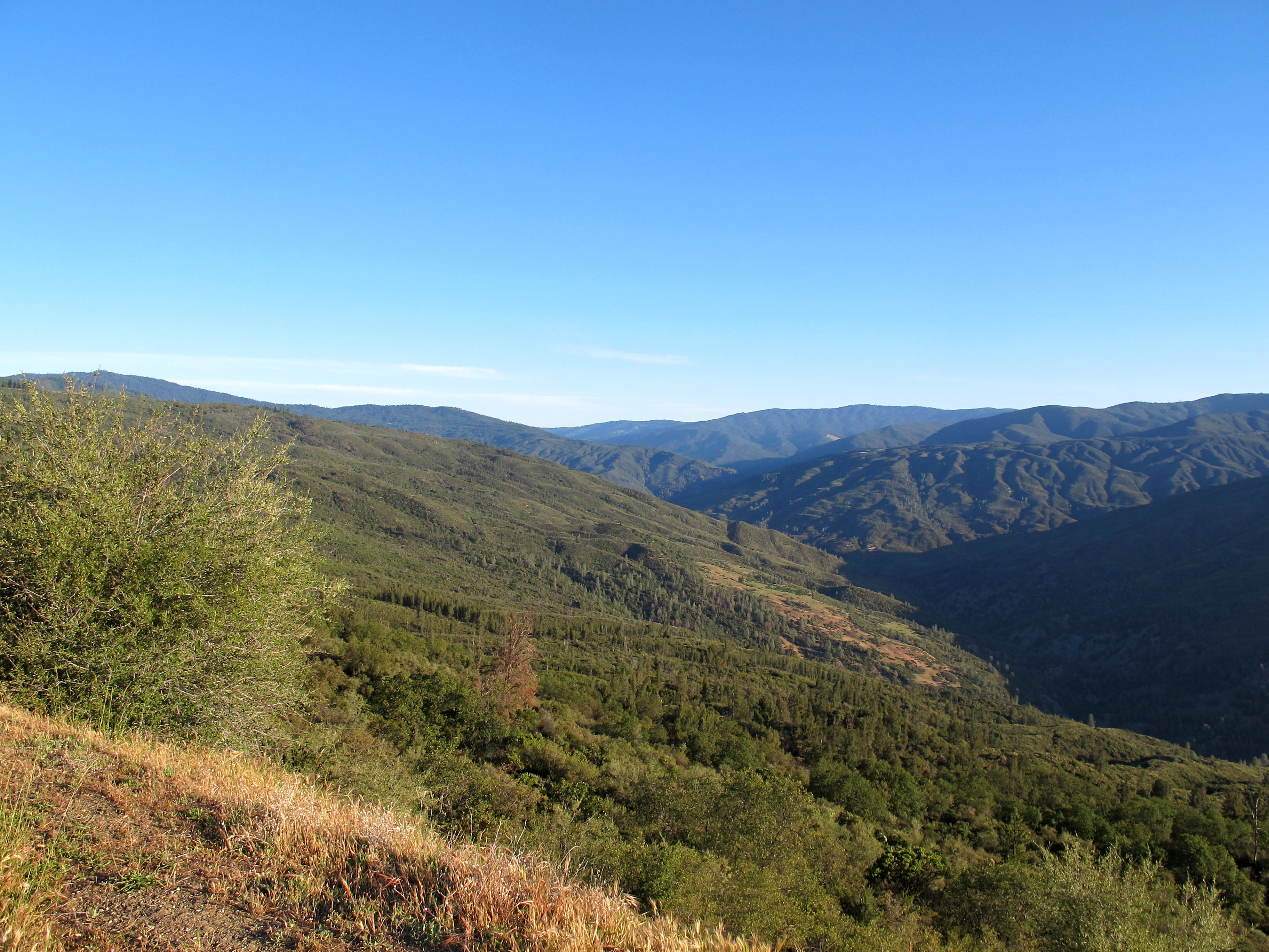
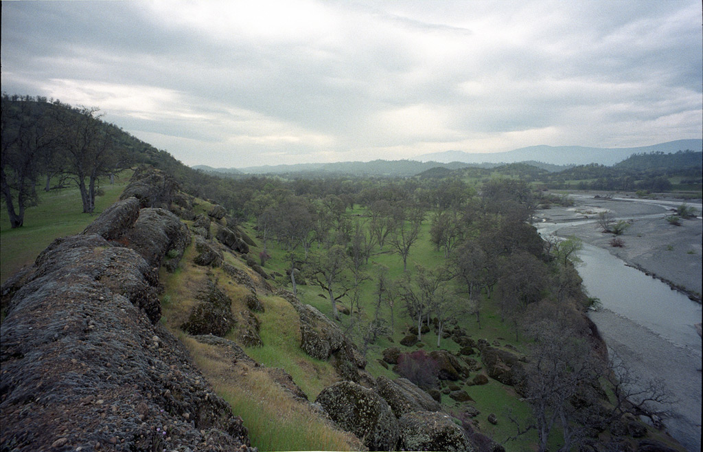
Rattlesnake Fire vista

A really good hike
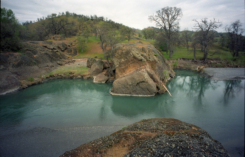
Julian Rocks, 1997
Vista del Calor
This was good times
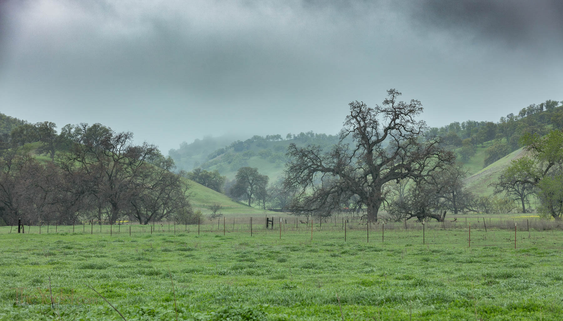
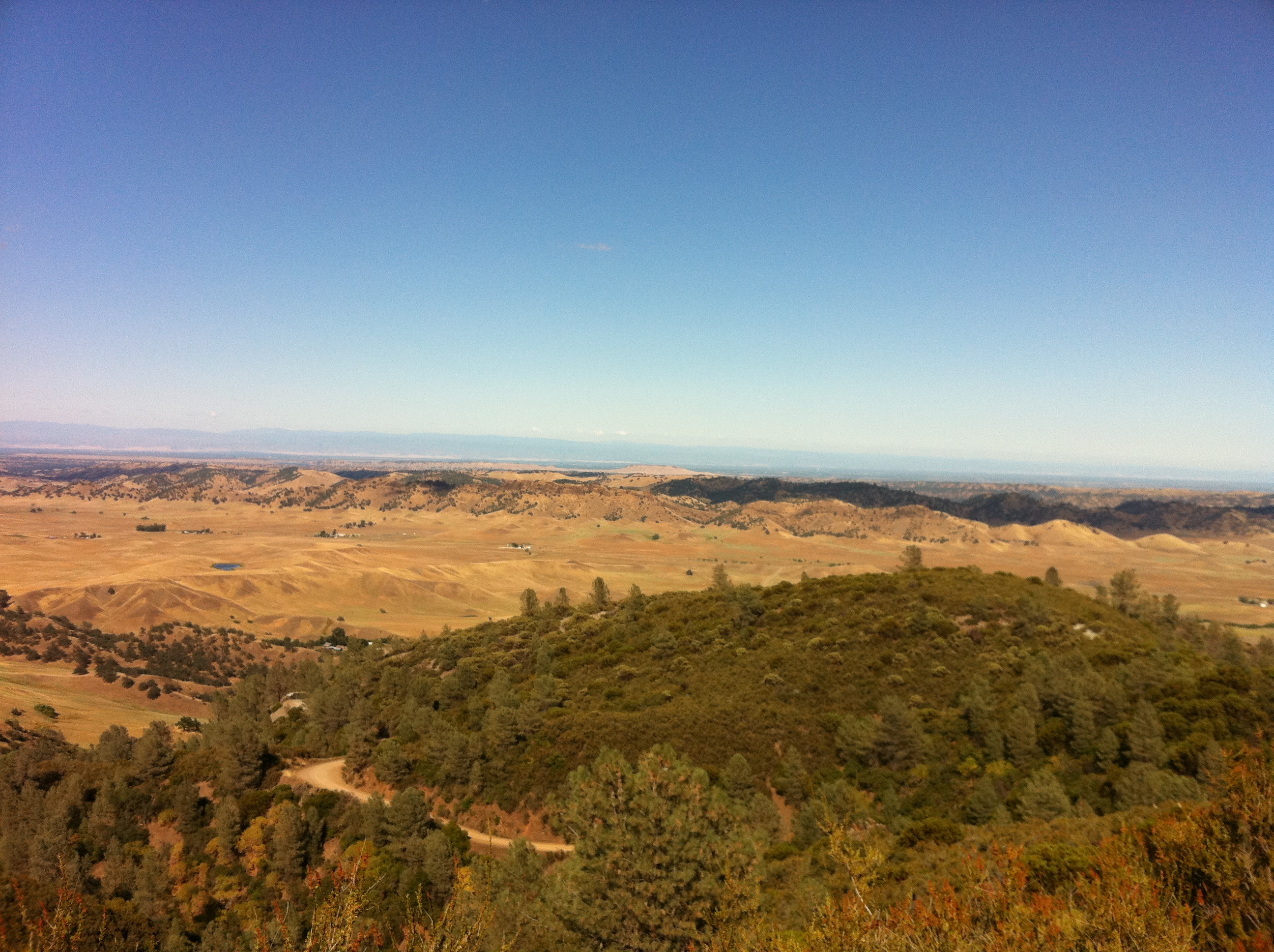
California foothills
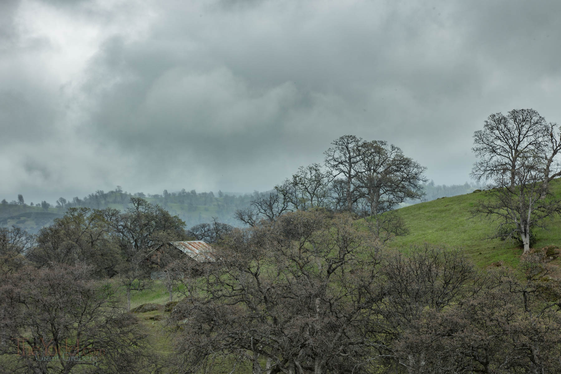
California foothills
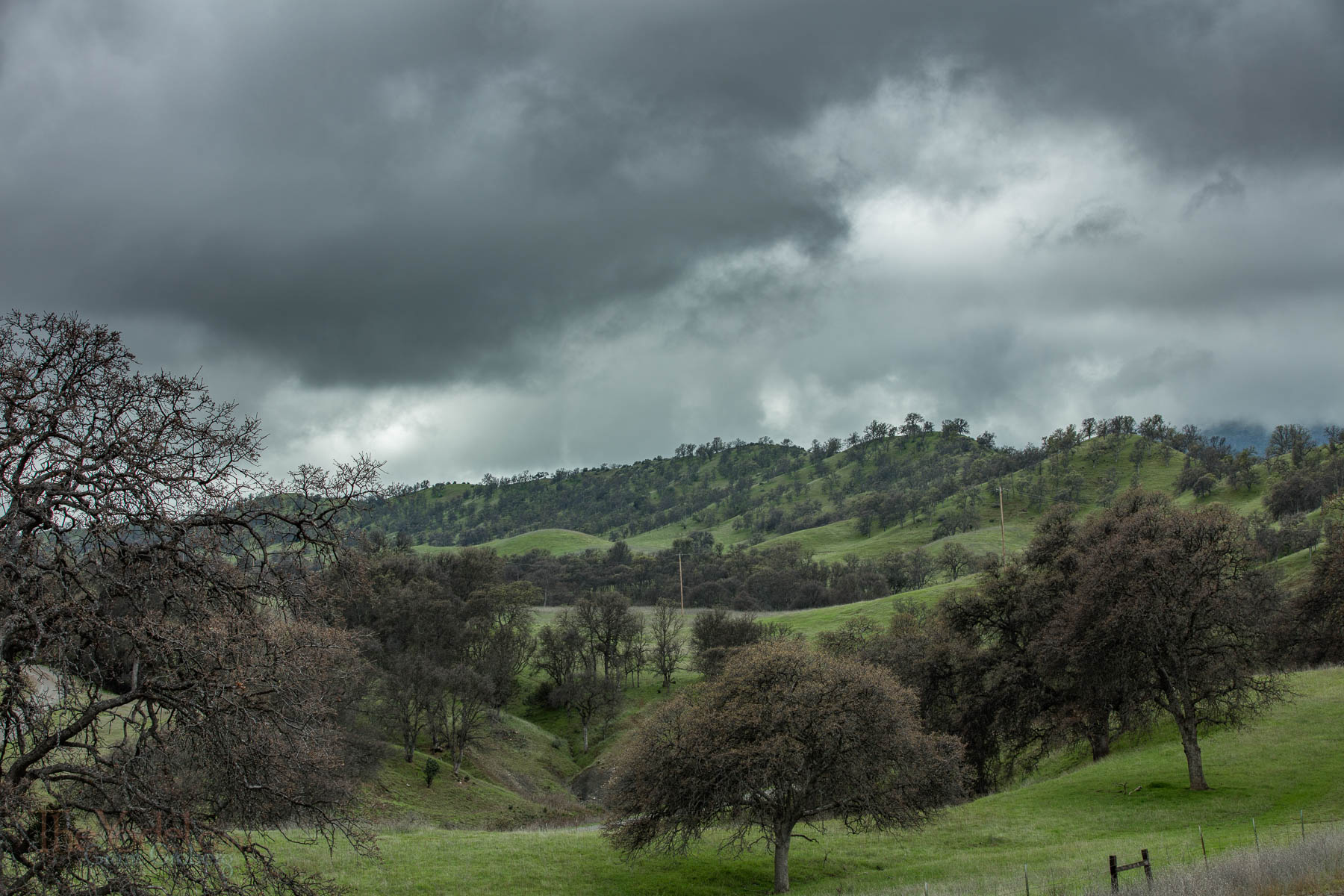
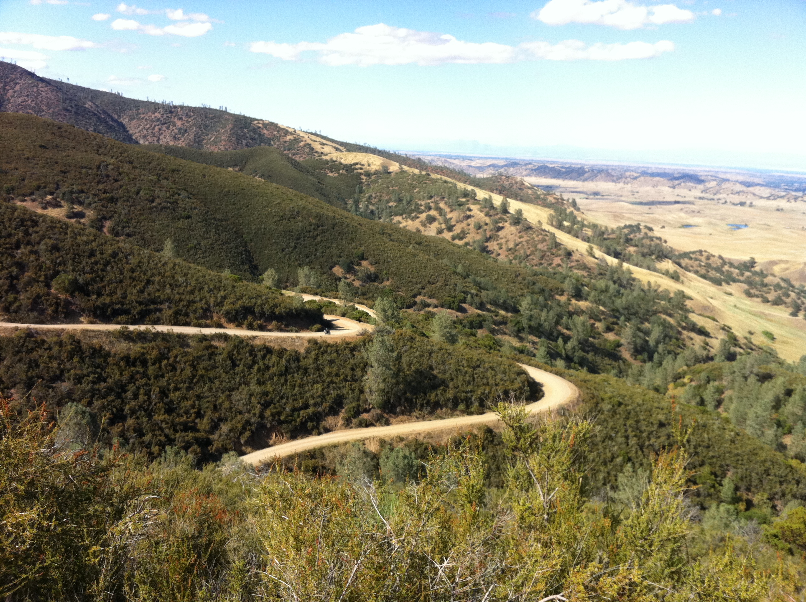
California foothills
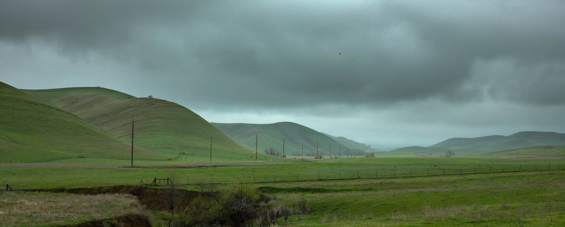
California foothills
Julian Rocks, 1997

Along Grindstone Creek
Topographic Map of Elk Creek, CA, USA
Find elevation by address:

Places in Elk Creek, CA, USA:
Places near Elk Creek, CA, USA:
Bidwell St, Elk Creek, CA, USA
Road 308
Forest Highway 7 & Alder Springs Road
Cherry St, Willows, CA, USA
Glenn County
County Road, Orland, CA, USA
Road 308
Co Rd, Orland, CA, USA
Valley View Conservation Camp #34
Stonyford
Newville Road
Paskenta Rd, Paskenta, CA, USA
Paskenta
Brushy Mountain
15530 Paskenta Rd
Flournoy
Paskenta Rd, Corning, CA, USA
Whitlock Campground
High Flats Road
Spruce Grove Campground
Recent Searches:
- Elevation of Zimmer Trail, Pennsylvania, USA
- Elevation of 87 Kilmartin Ave, Bristol, CT, USA
- Elevation of Honghe National Nature Reserve, QP95+PJP, Tongjiang, Heilongjiang, Jiamusi, Heilongjiang, China
- Elevation of Hercules Dr, Colorado Springs, CO, USA
- Elevation of Szlak pieszy czarny, Poland
- Elevation of Griffing Blvd, Biscayne Park, FL, USA
- Elevation of Kreuzburger Weg 13, Düsseldorf, Germany
- Elevation of Gateway Blvd SE, Canton, OH, USA
- Elevation of East W.T. Harris Boulevard, E W.T. Harris Blvd, Charlotte, NC, USA
- Elevation of West Sugar Creek, Charlotte, NC, USA