Elevation of Willows, CA, USA
Location: United States > California > Glenn County >
Longitude: -122.19359
Latitude: 39.5243265
Elevation: 42m / 138feet
Barometric Pressure: 101KPa
Elevation Map:
Satellite Map:
Related Photos:

The Rainbow of Life
'clear view'
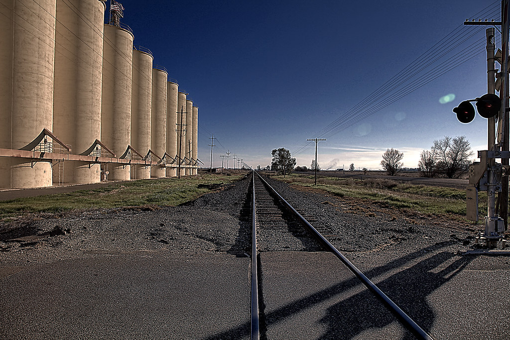
Grainery, Photoshop CS5, Photomatix Pro. Topaz adjust detail # 2 HDR.
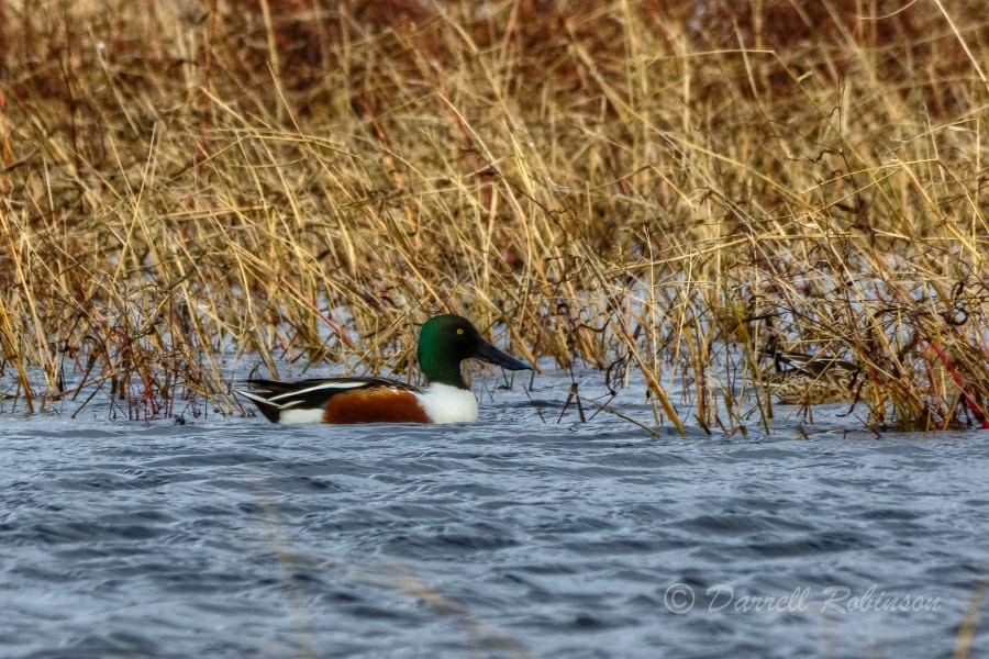
Northern Shoveler
Winter Painting
View looking West from Sacramento NWR

The Observation Tower
Signal 145.8, West Valley Line (Then and Now)

Interstate 5 Northbound Glenn Valley Freeway approaching 1 1/2 miles to Exit 603 - Willows with this roadside sign located at Glenn County - Willows, California. Airport, Hospital, Highway Patrol, Viewing Point ahead.

Front view shop
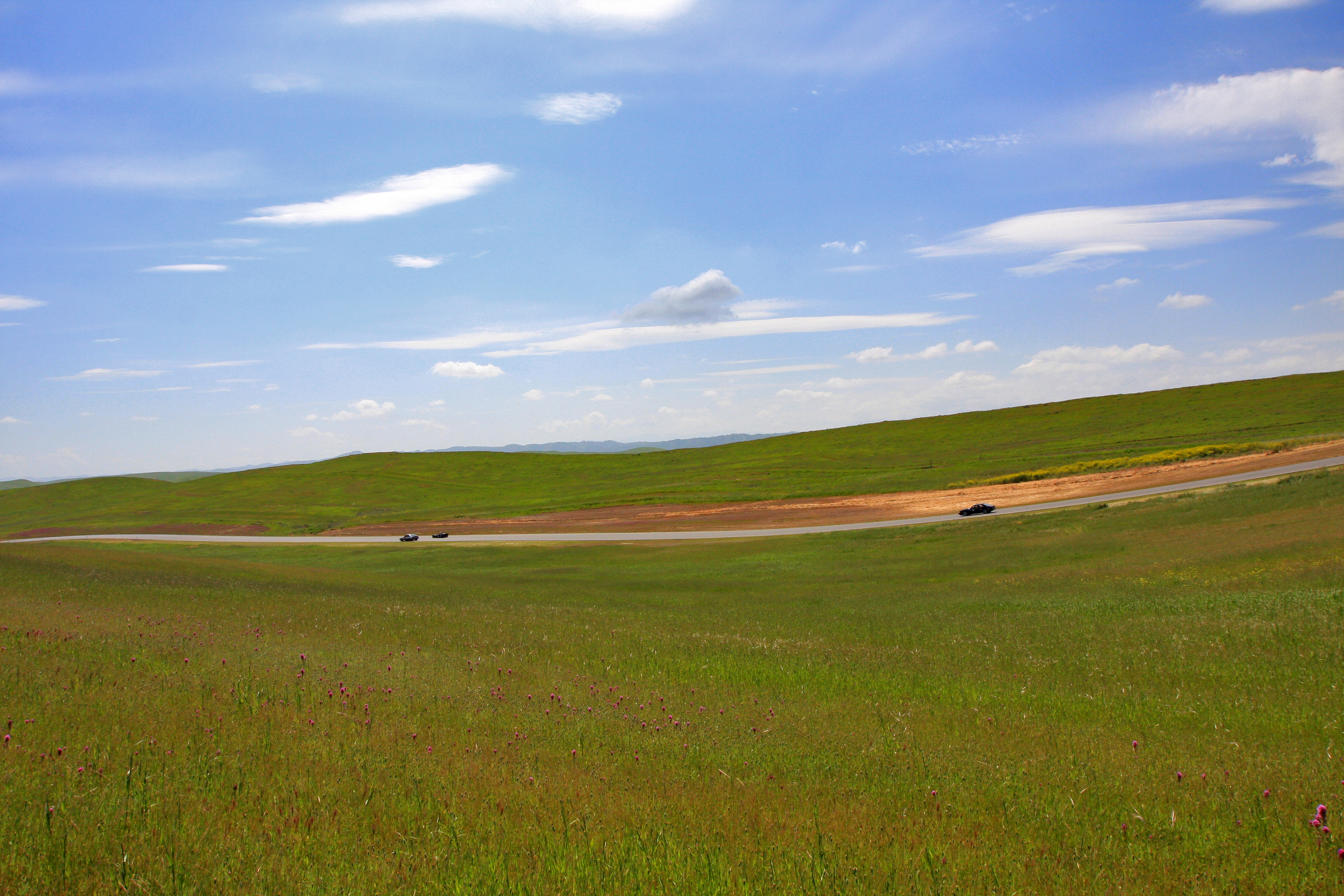
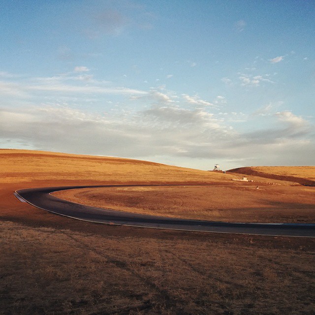
Thunderhill - North Paddock
2011.Mini Thunder II - 002
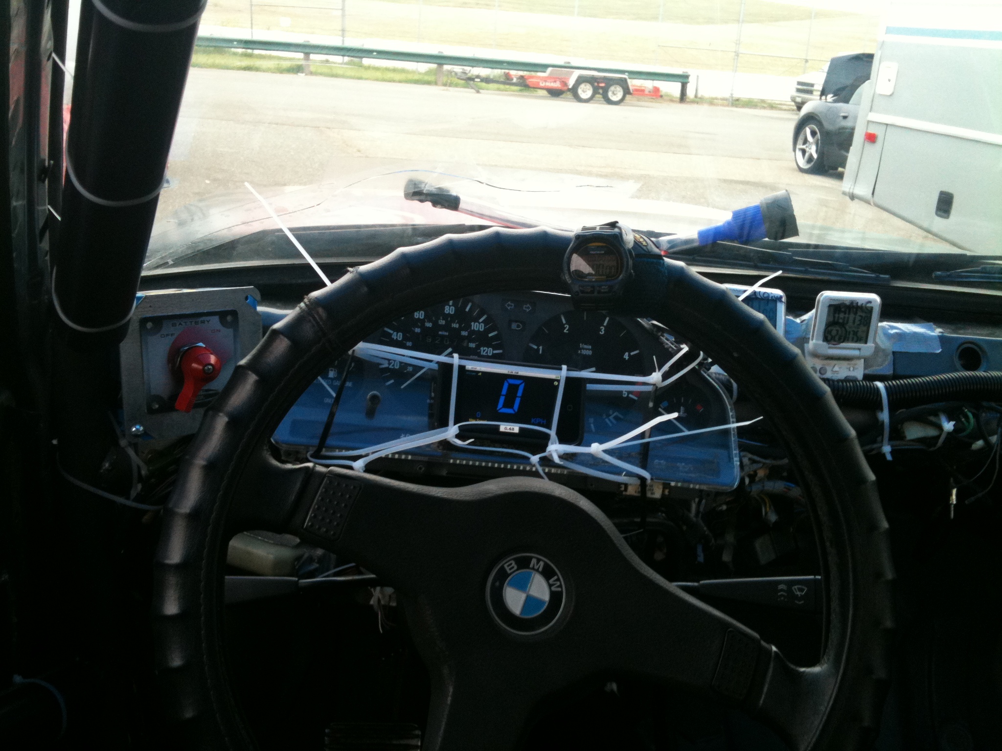
Cockpit view
2011.Mini Thunder II - 003

The view is not bad either.
2011.Mini Thunder II - 001

Side view of hat
Willows Airport
Refuge landscape

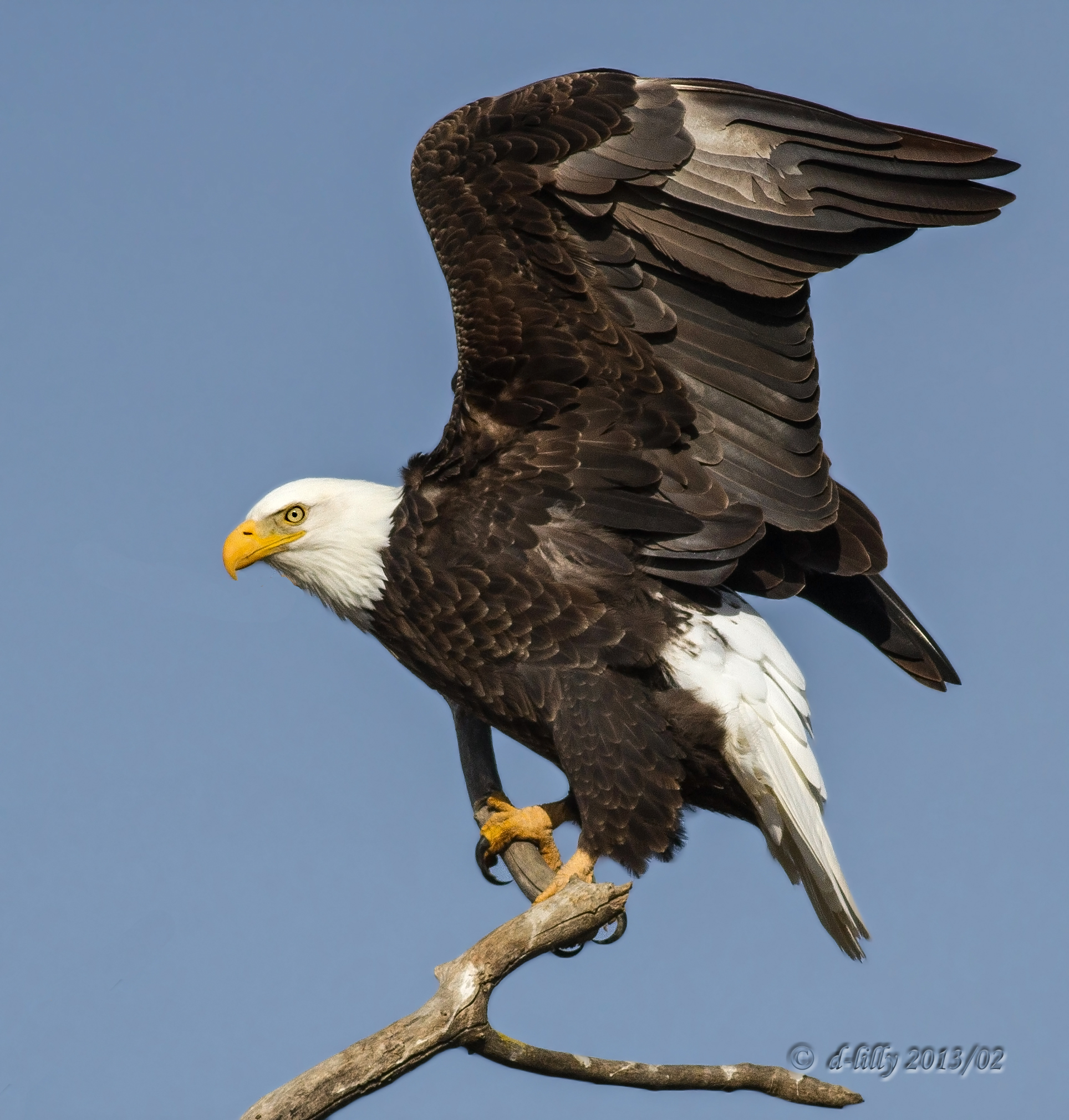
Red-tailed Hawk - Juvenile - 8881
05•52 • I am predator...

Dog-head Butterfly

Sunflowers - Aerial Panorama
#ptsf & Matthew at the basecamp
My new landscape!
APM_T25hr-113
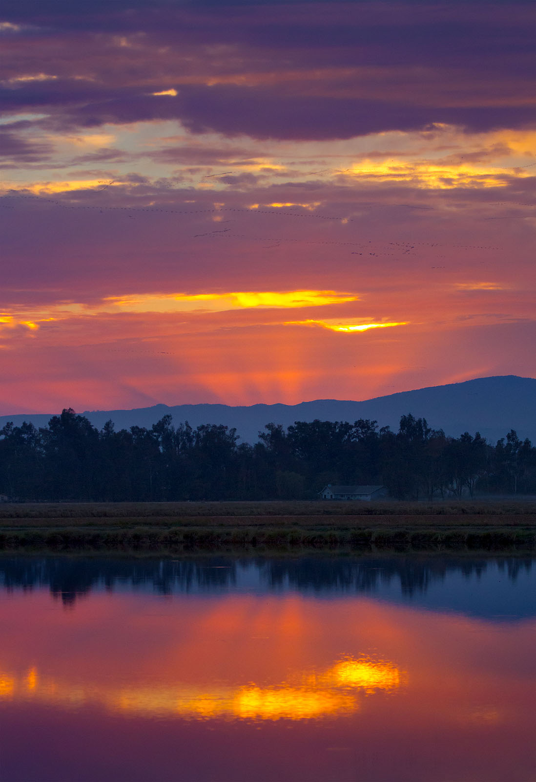
Rice Field Sunset
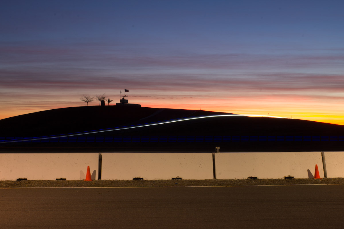
Thunderhill Raceway Park

Western Meadowlark
Thunderhill Raceway Park
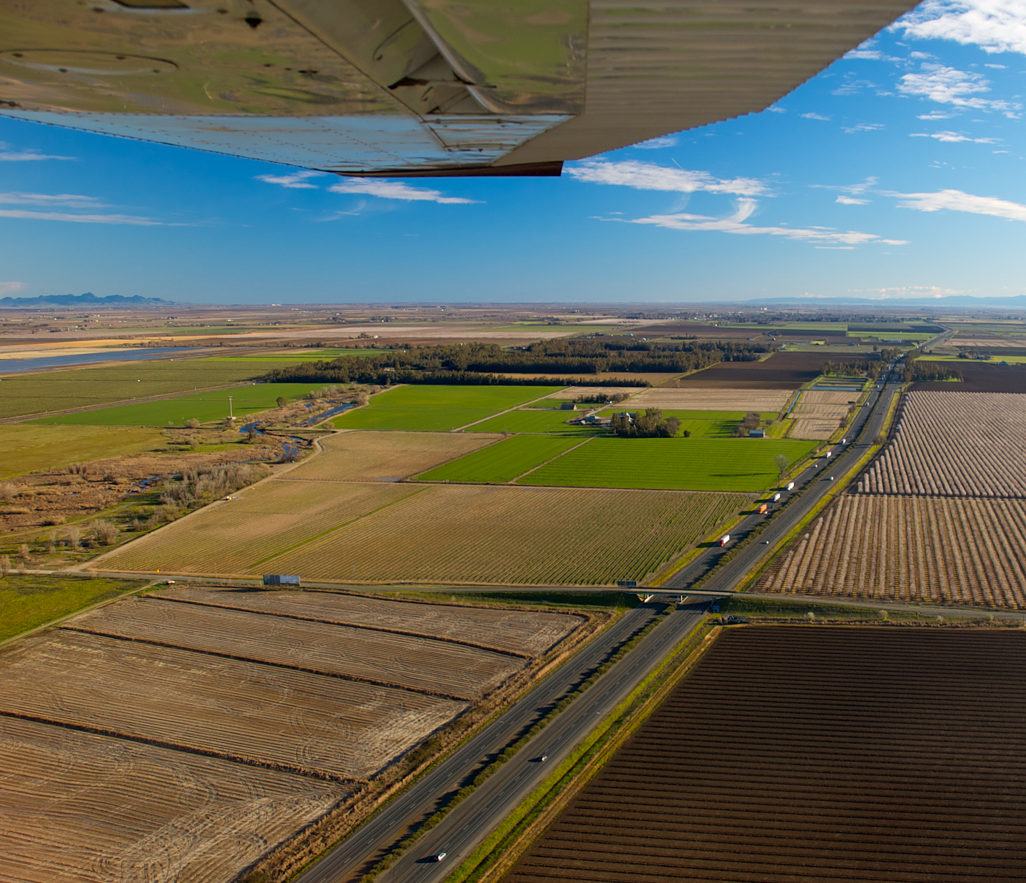
Sacramento Valley
Soon to be loud and messy
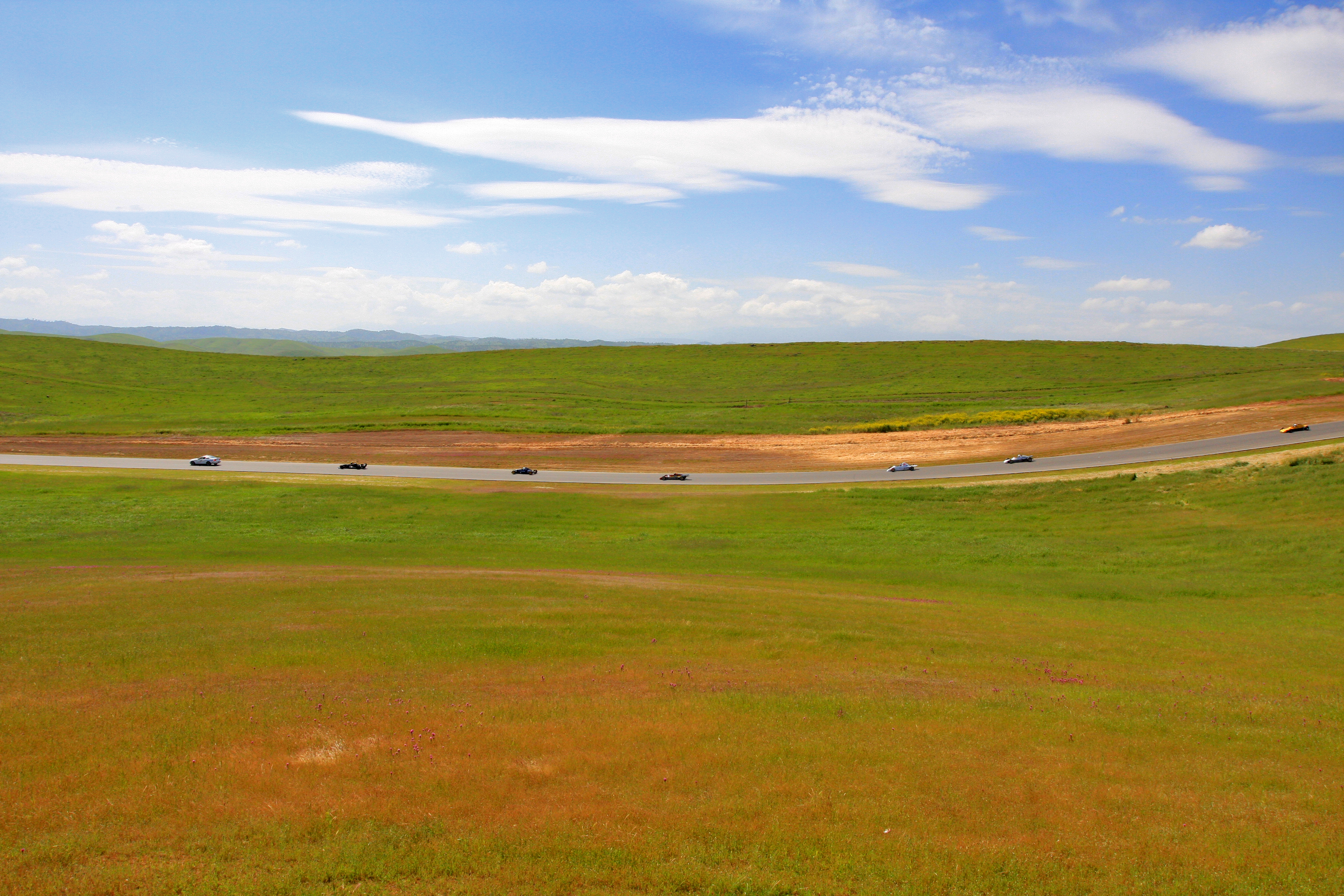
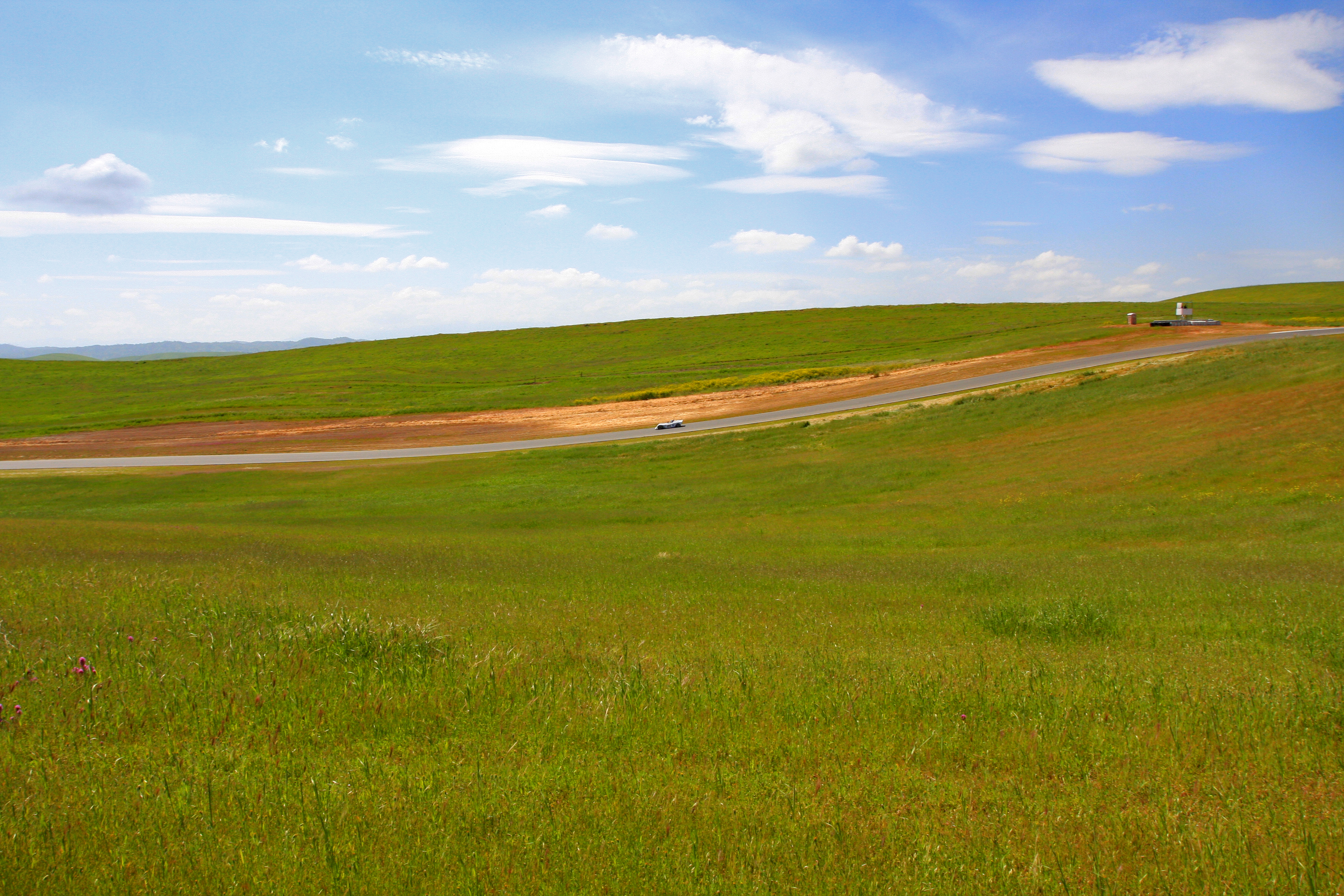
Thunderhill Raceway Park

Northern Pintail Taking Flight near Gaggle of Greater White-fronted Geese

Sunflower Aerial Panorama
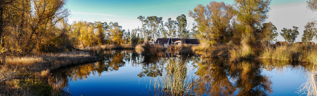
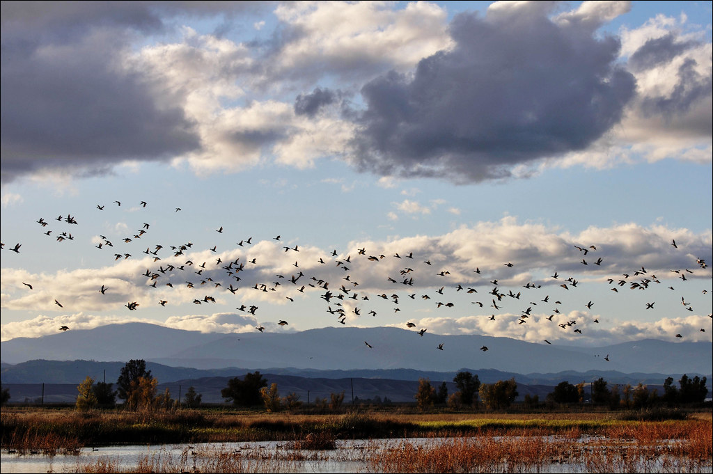
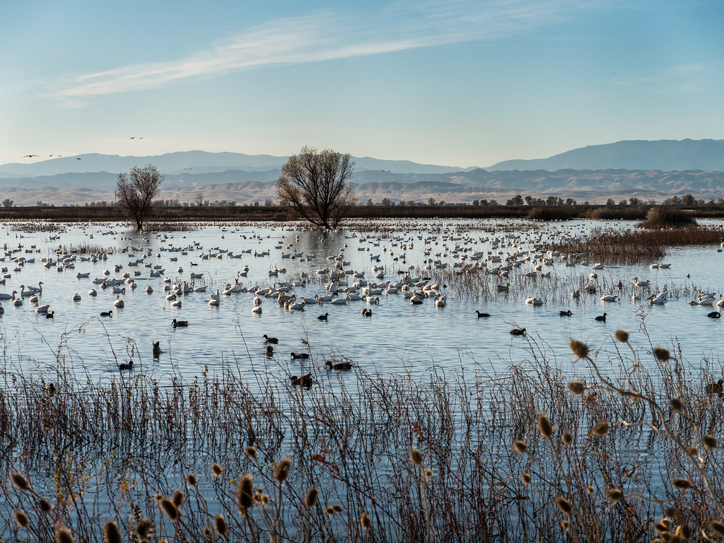
Sacramento Wildlife Refuge
Sacramento Wildlife Refuge

Morning Sun.IMGP9492

Specks,Pintail and Mallards-SNWR,Willows,Ca.
Topographic Map of Willows, CA, USA
Find elevation by address:

Places in Willows, CA, USA:
Places near Willows, CA, USA:
633 3rd St
6204 County Road 53
County Rd 39, Willows, CA, USA
Artois
22 Co Rd JJ, Artois, CA, USA
Co Rd 27, Orland, CA, USA
Glenn
CA-45, Glenn, CA, USA
Co Rd 61, Princeton, CA, USA
Co Rd 32, Glenn, CA, USA
126 Central St
Princeton
Orland
Co Rd 9, Orland, CA, USA
Co Rd 16, Orland, CA, USA
Sacramento River
Hwy 48, Chico, CA, USA
Hamilton City
Main St, Hamilton City, CA, USA
Front St, Chico, CA, USA
Recent Searches:
- Elevation of Corso Fratelli Cairoli, 35, Macerata MC, Italy
- Elevation of Tallevast Rd, Sarasota, FL, USA
- Elevation of 4th St E, Sonoma, CA, USA
- Elevation of Black Hollow Rd, Pennsdale, PA, USA
- Elevation of Oakland Ave, Williamsport, PA, USA
- Elevation of Pedrógão Grande, Portugal
- Elevation of Klee Dr, Martinsburg, WV, USA
- Elevation of Via Roma, Pieranica CR, Italy
- Elevation of Tavkvetili Mountain, Georgia
- Elevation of Hartfords Bluff Cir, Mt Pleasant, SC, USA