Elevation of Co Rd 16, Orland, CA, USA
Location: United States > California > Glenn County > Orland >
Longitude: -122.05524
Latitude: 39.737327
Elevation: 54m / 177feet
Barometric Pressure: 101KPa
Elevation Map:
Satellite Map:
Related Photos:
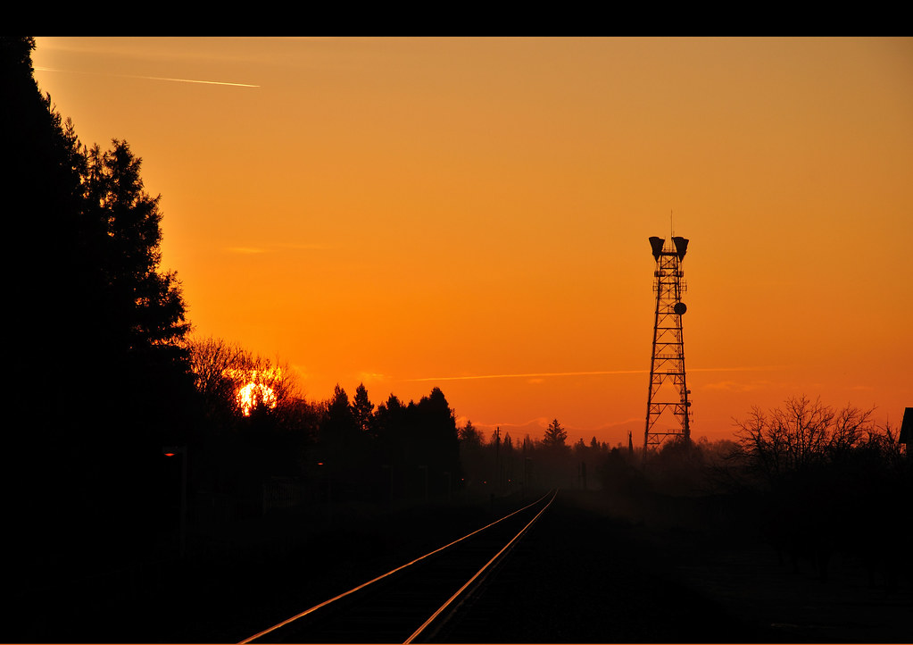
sun rising

Interstate 5 Northbound Glenn Valley Freeway approaching Exit 619 - Hamilton City, Black Butte Lake next right with this roadside sign located at Glenn County, California. Wildlife viewing point ahead.

06•52 • Lost v.2.0...

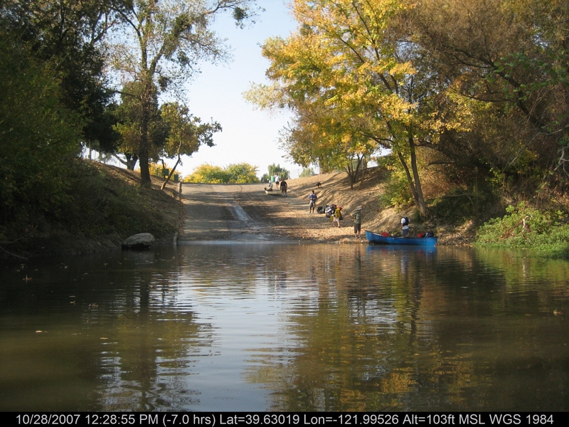
floatin' the Sac
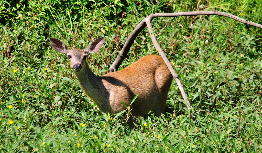
Doe ~ Mule Deer

Day 408 • lost... • 01 Feb 10

Interstate 5 Southbound Glenn Valley Freeway approaching 1/2 mile to Exit 619 - Hamilton City & Black Butte Lake next right exit + wildlife viewing point with this roadside sign located at Glenn County - Orland, California.

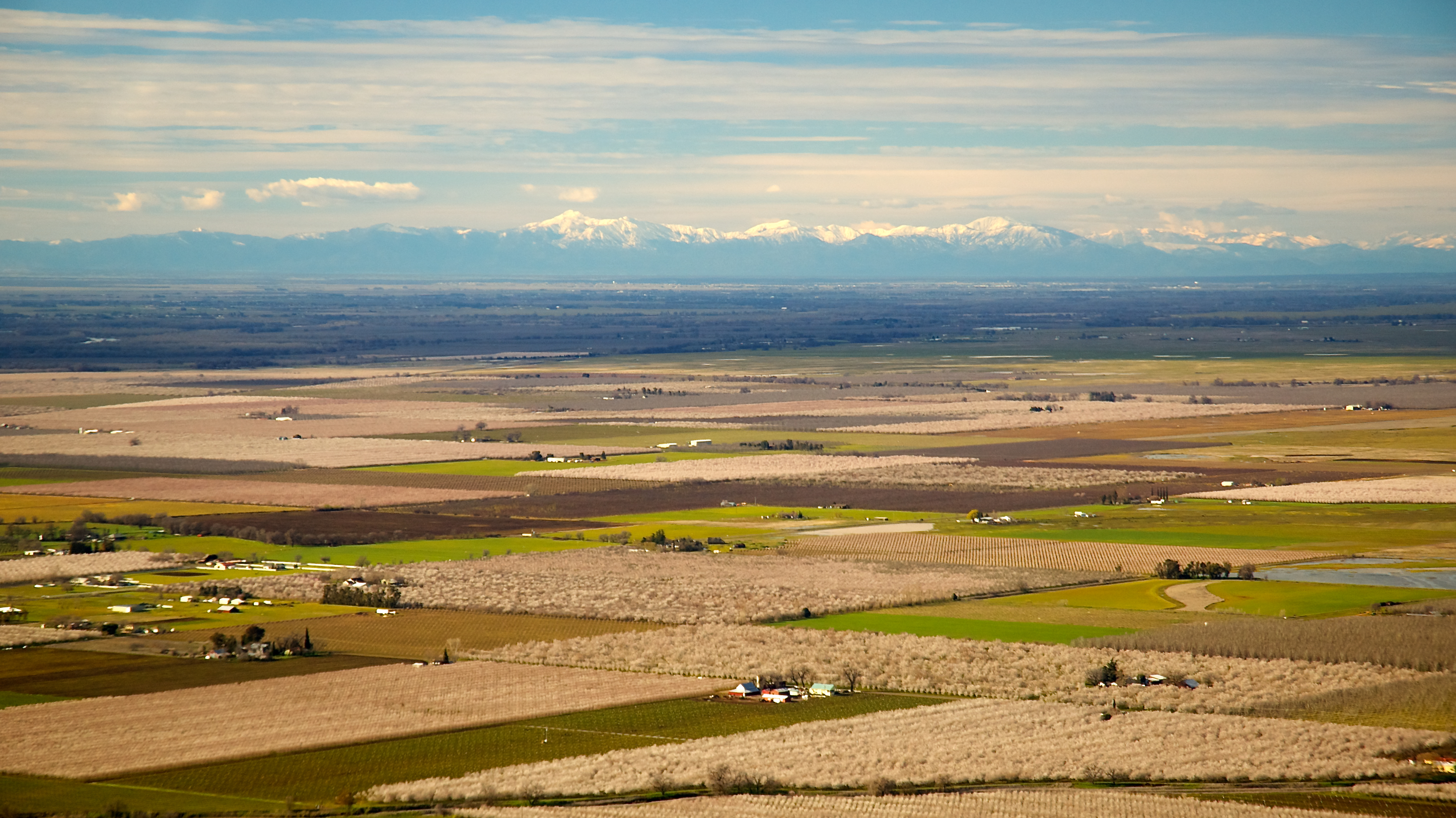
Sunflowers - Aerial Panorama
canoeing 260.jpg
canoeing 254.jpg
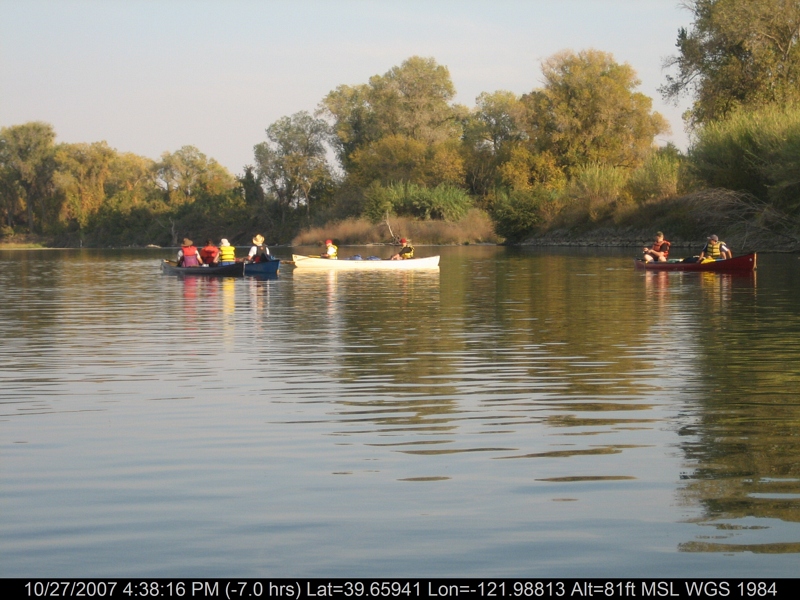
canoeing 169.jpg

A Sunset over Life
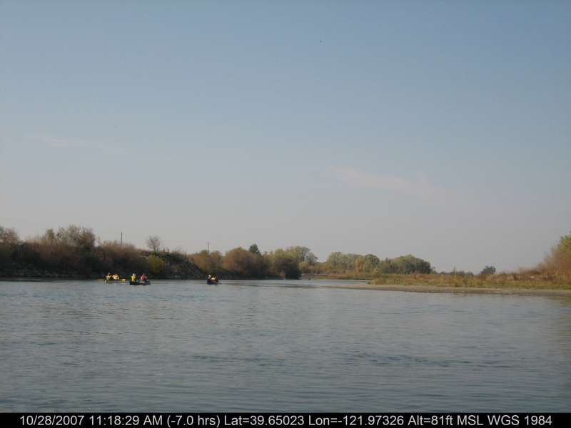
canoeing 212.jpg
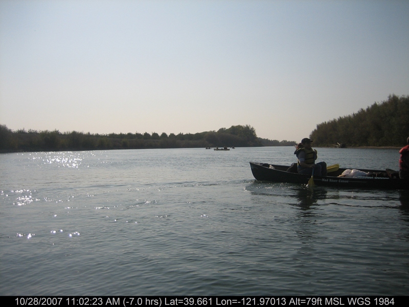
canoeing 201.jpg
canoeing 207.jpg
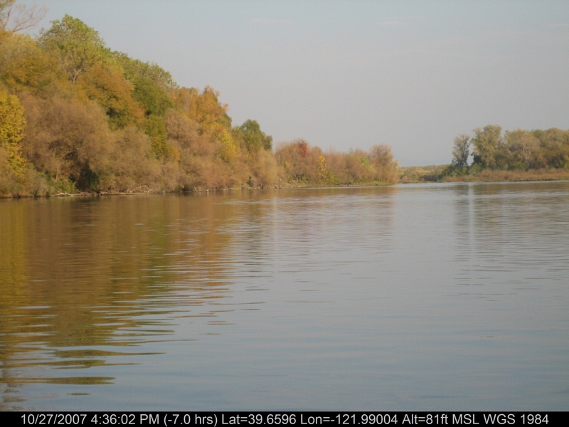
canoeing 167.jpg
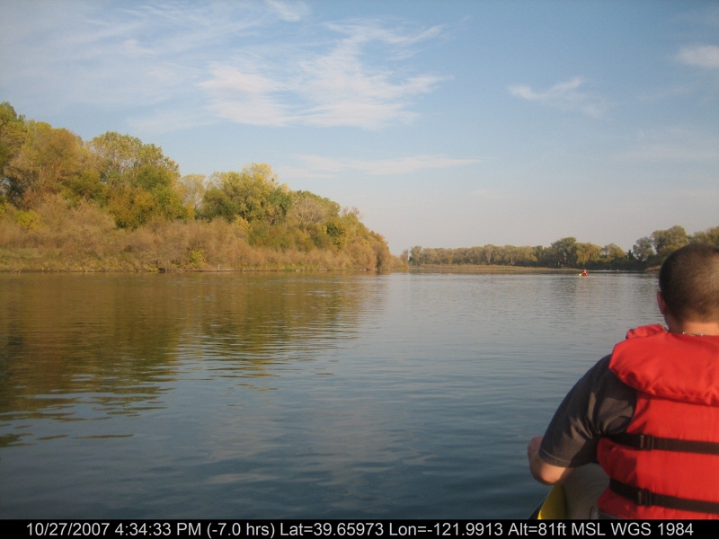
canoeing 166.jpg
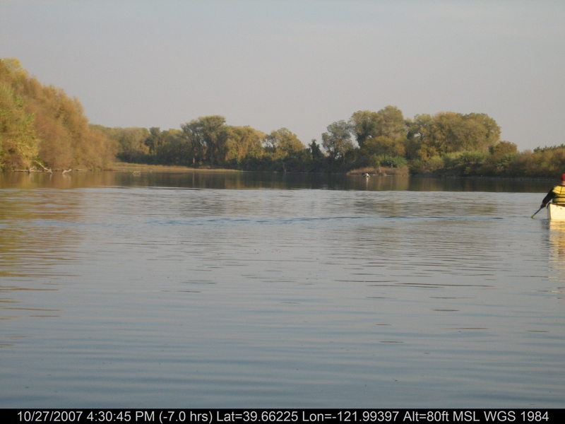
canoeing 163.jpg
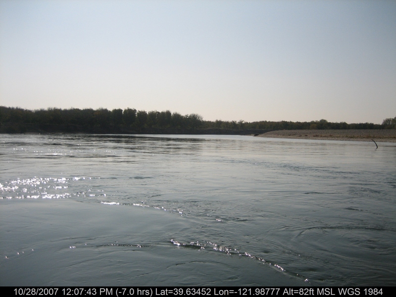
canoeing 242.jpg
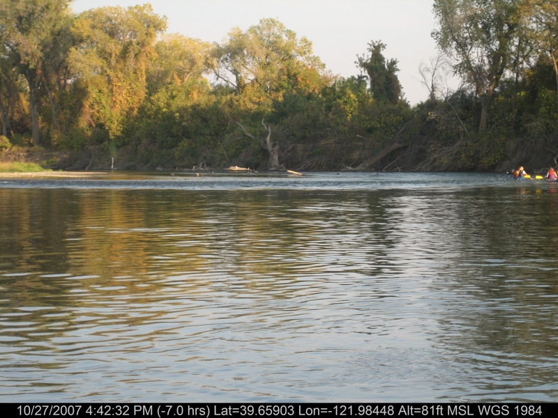
canoeing 173.jpg
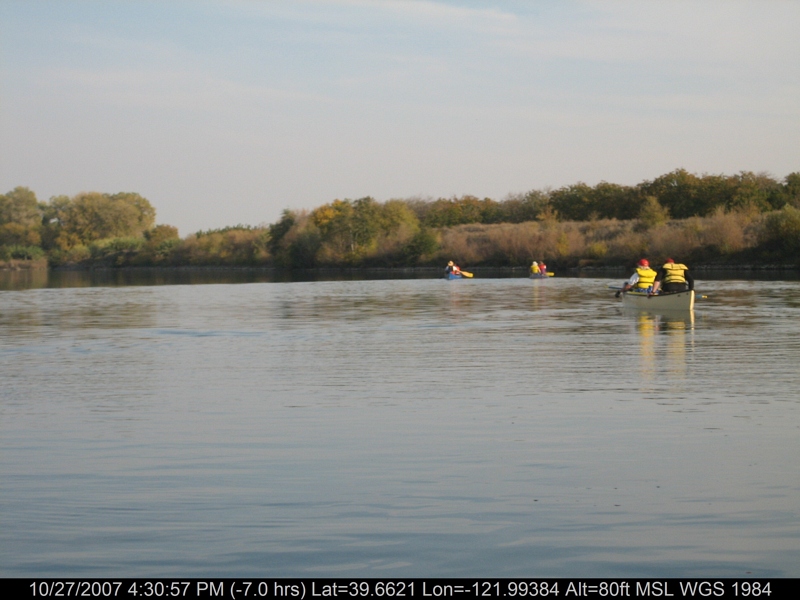
canoeing 164.jpg
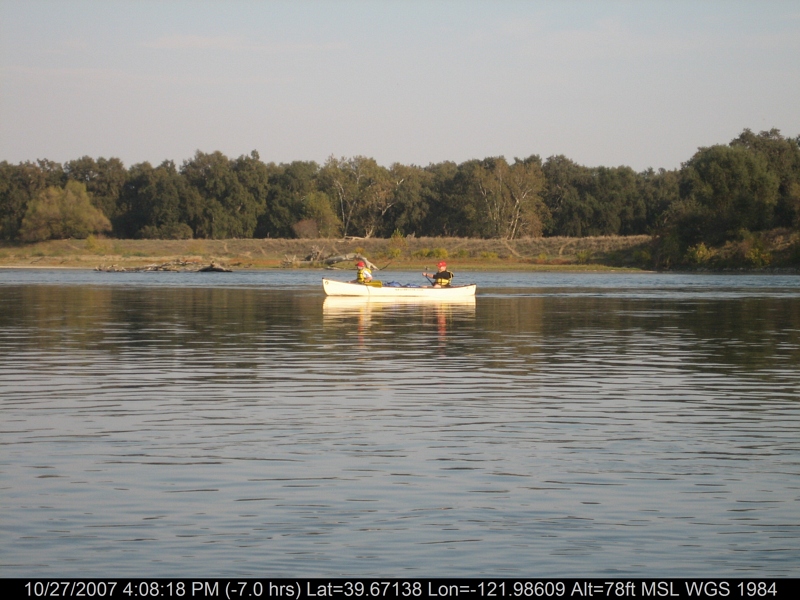
canoeing 159.jpg
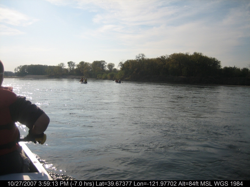
canoeing 153.jpg
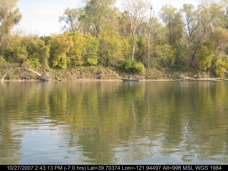
canoeing 094.jpg
Snow capped Costal Range

Oregon - On The Road (6)

Sunflower Aerial Panorama
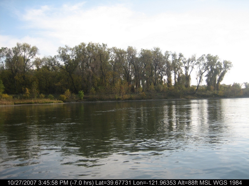
canoeing 142.jpg
Topographic Map of Co Rd 16, Orland, CA, USA
Find elevation by address:

Places near Co Rd 16, Orland, CA, USA:
Hamilton City
Main St, Hamilton City, CA, USA
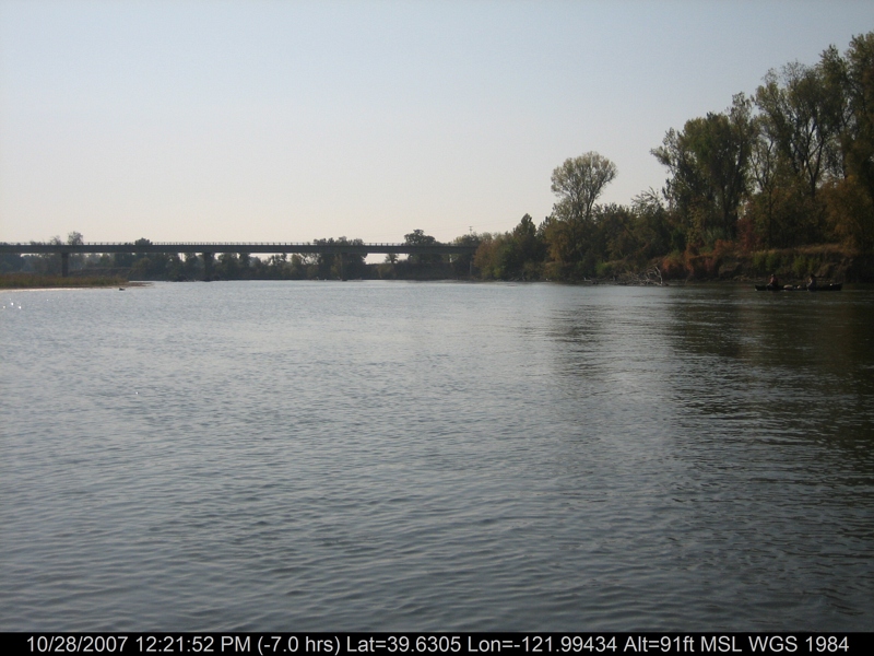
Sacramento River
Anita Rd, Chico, CA, USA
E Commercial St, Chico, CA, USA
Co Rd 32, Glenn, CA, USA
126 Central St
Co Rd 9, Orland, CA, USA
Orland
Co Rd 27, Orland, CA, USA
2961 Ca-32
4295 Stable Ln
3770 Illinois Ave
Illinois Ave, Corning, CA, USA
5018 Guntren Rd
1483 Trenta Dr
855 Henshaw Ave
2135 Nord Ave
22 Co Rd JJ, Artois, CA, USA
Artois
Recent Searches:
- Elevation of Corso Fratelli Cairoli, 35, Macerata MC, Italy
- Elevation of Tallevast Rd, Sarasota, FL, USA
- Elevation of 4th St E, Sonoma, CA, USA
- Elevation of Black Hollow Rd, Pennsdale, PA, USA
- Elevation of Oakland Ave, Williamsport, PA, USA
- Elevation of Pedrógão Grande, Portugal
- Elevation of Klee Dr, Martinsburg, WV, USA
- Elevation of Via Roma, Pieranica CR, Italy
- Elevation of Tavkvetili Mountain, Georgia
- Elevation of Hartfords Bluff Cir, Mt Pleasant, SC, USA