Elevation of Co Rd 32, Glenn, CA, USA
Location: United States > California > Glenn County > Glenn >
Longitude: -122.00612
Latitude: 39.6303089
Elevation: 39m / 128feet
Barometric Pressure: 101KPa
Elevation Map:
Satellite Map:
Related Photos:
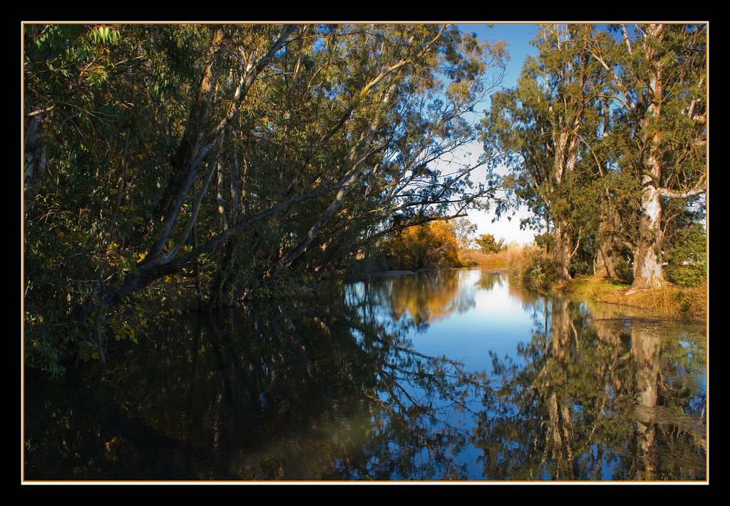
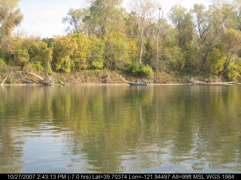
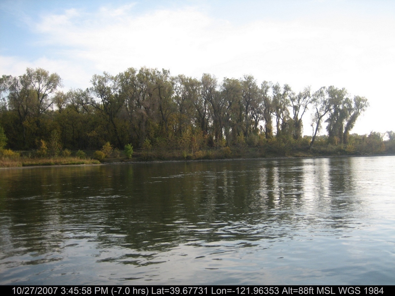
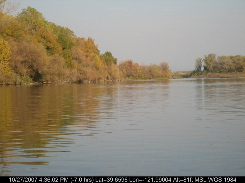
Fall Reflections

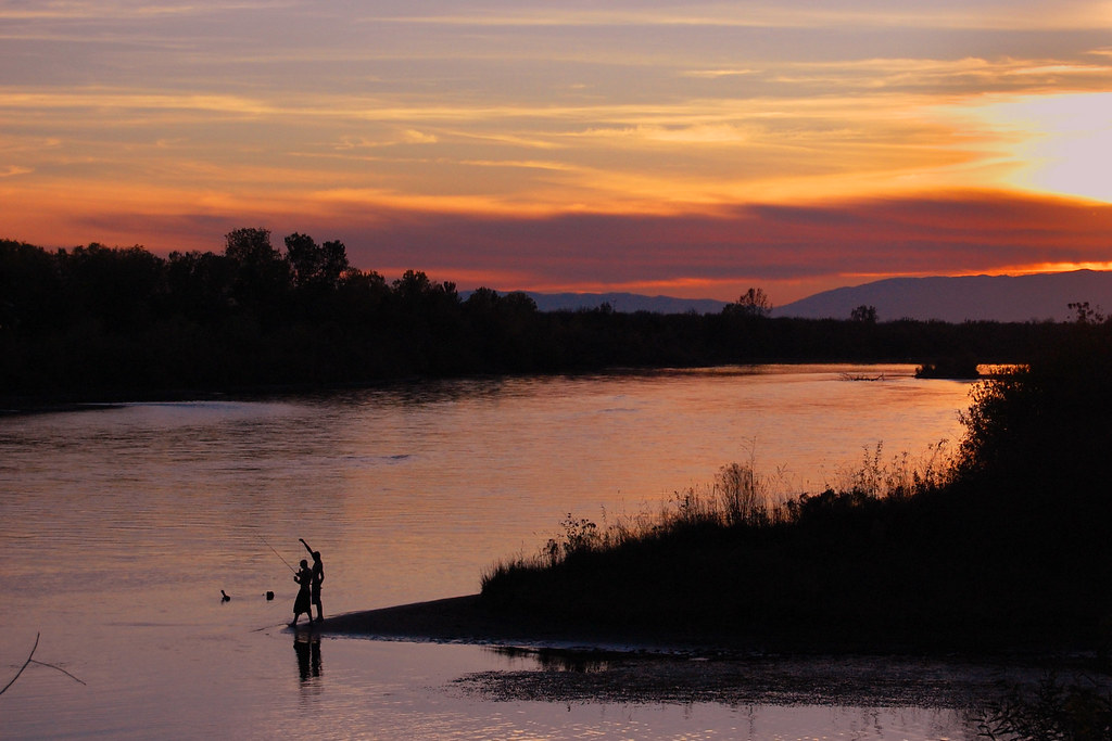
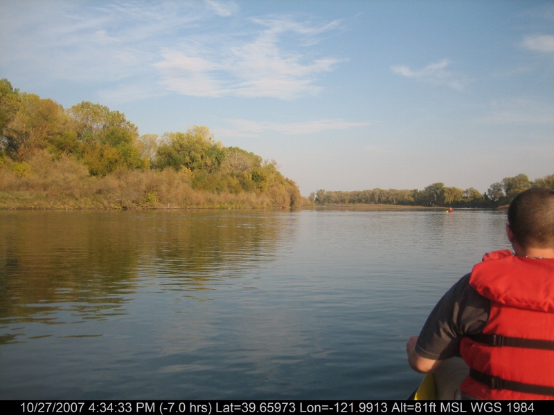
floatin' the Sac

Tundra Swan
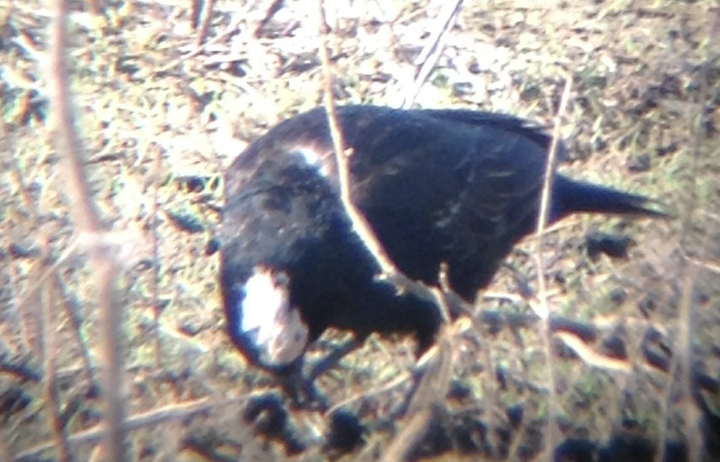
Partial amelanistic blackbird

Doe ~ Mule Deer
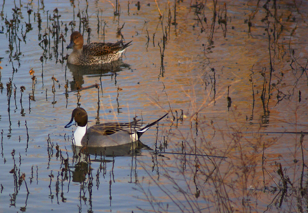
Northern Pintail Drake and Hen

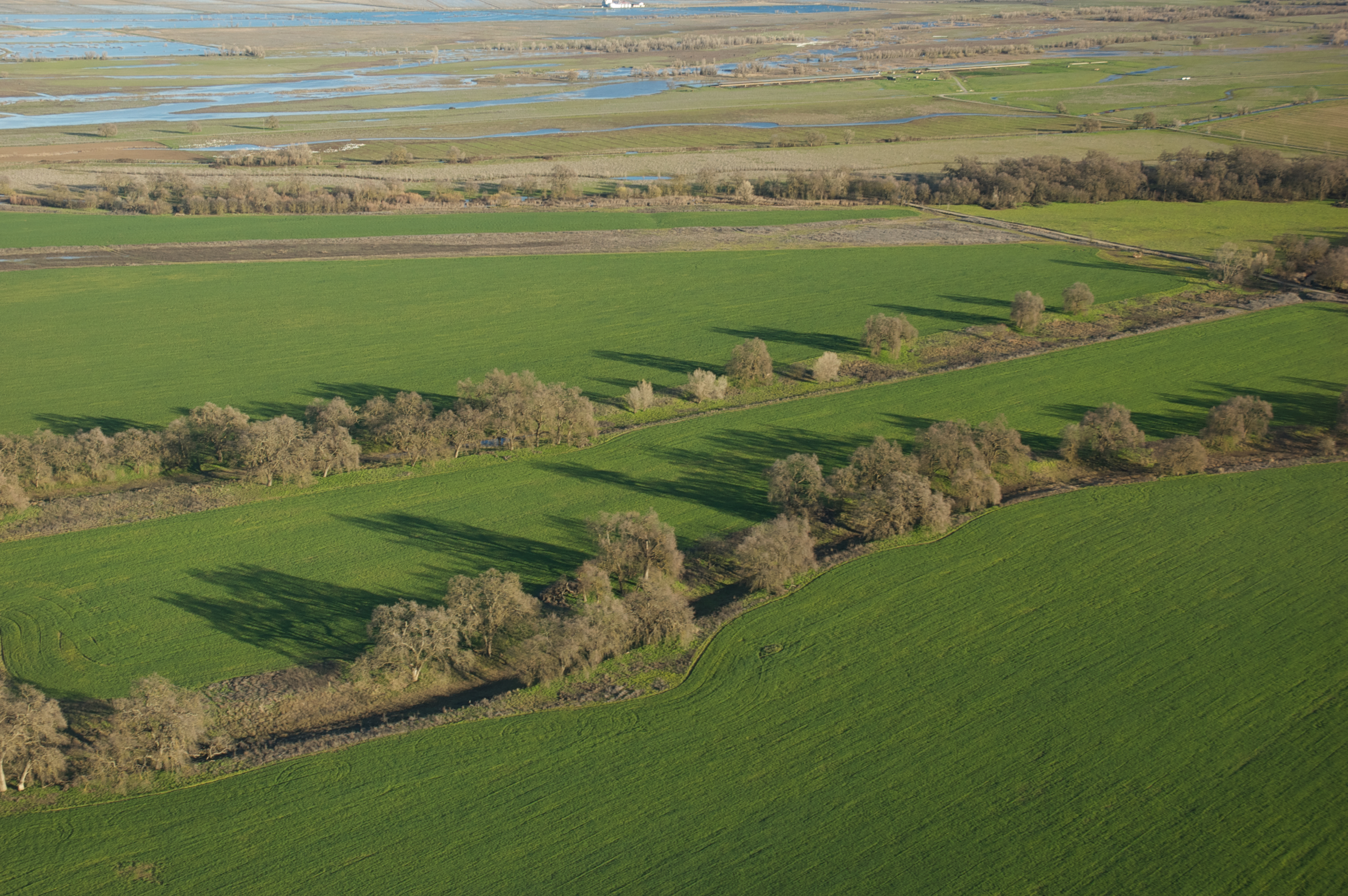
Sunflowers - Aerial Panorama
Yahoo! Project Weather

Sunflower Aerial Panorama

Sunflower Against the Sun
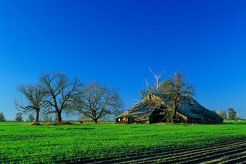
Barn at Bayliss
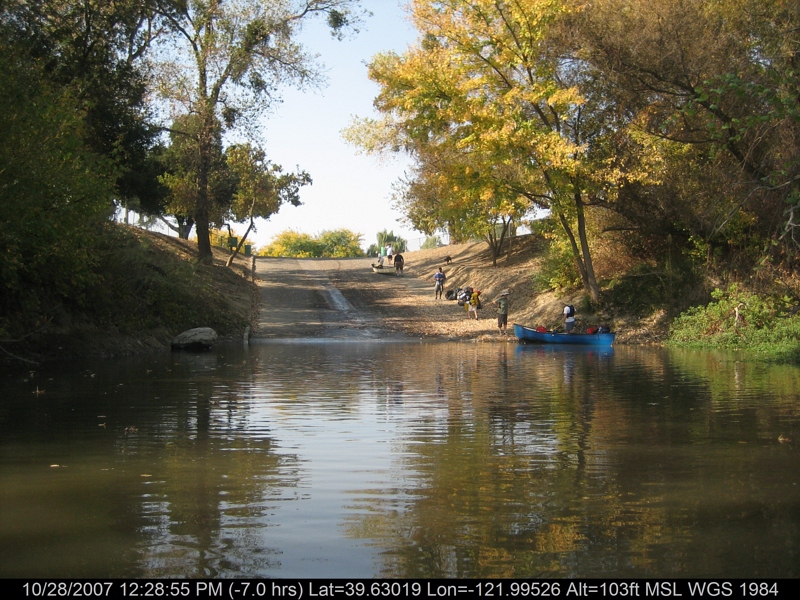
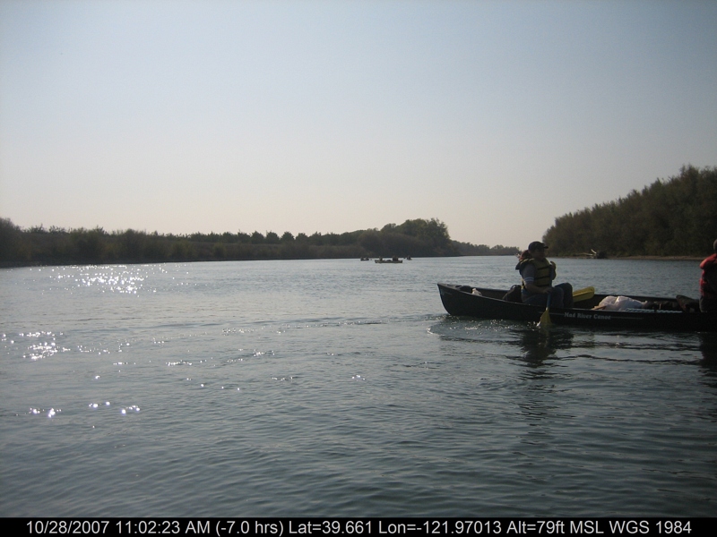
canoeing 260.jpg
canoeing 094.jpg
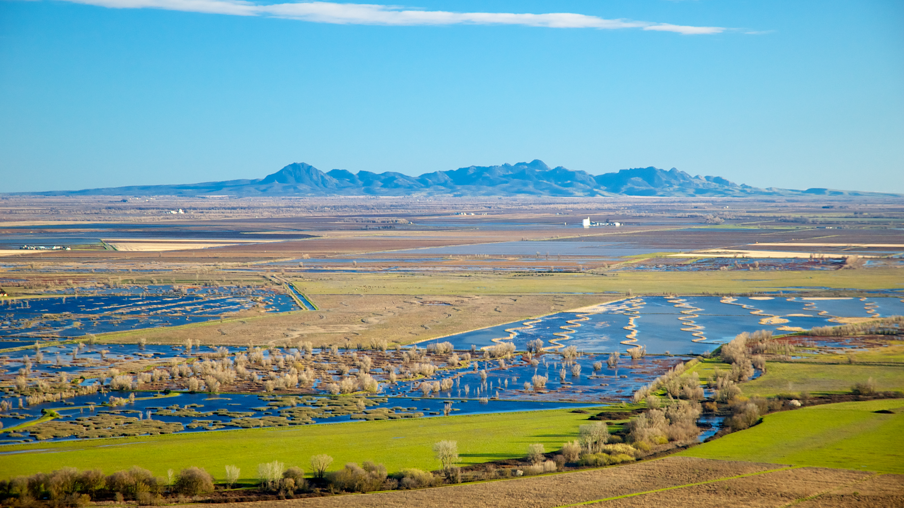
Sutter Buttes
canoeing 254.jpg
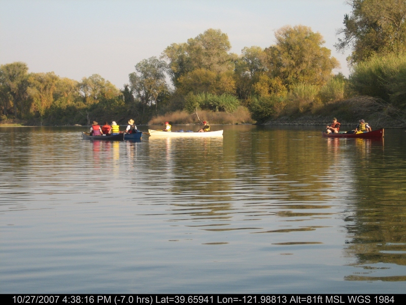
canoeing 169.jpg

Ripe heads of rice in the field
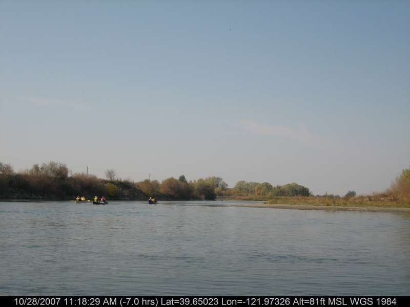
canoeing 212.jpg
canoeing 142.jpg
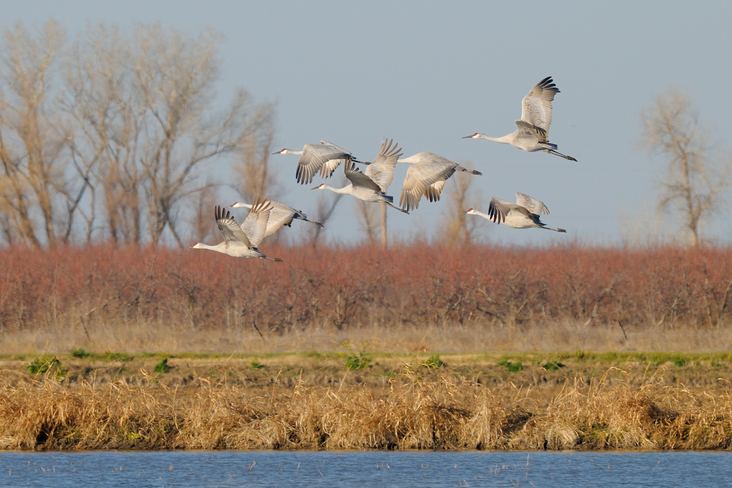
Sandhill Cranes in flight near Llano Seco NWR-28 1-25-14
canoeing 201.jpg
canoeing 207.jpg

Ripe heads of rice in the field
Rancho Llano Seco
canoeing 167.jpg
canoeing 166.jpg
canoeing 163.jpg
Topographic Map of Co Rd 32, Glenn, CA, USA
Find elevation by address:

Places near Co Rd 32, Glenn, CA, USA:
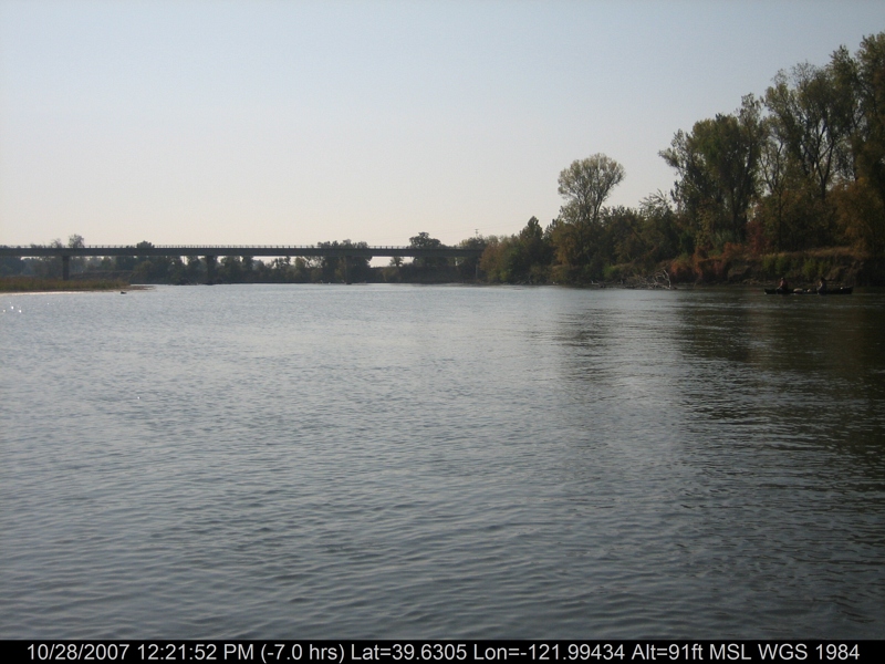
Sacramento River
CA-45, Glenn, CA, USA
Glenn
Main St, Hamilton City, CA, USA
Hamilton City
Co Rd 16, Orland, CA, USA
Hwy 48, Chico, CA, USA
Front St, Chico, CA, USA
2781 Edgar Ave
E Commercial St, Chico, CA, USA
2961 Ca-32
31 Kingsburry Ct
2135 Nord Ave
1483 Trenta Dr
Co Rd 61, Princeton, CA, USA
855 Henshaw Ave
23 Herlax Cir
1012 Regency Dr
403 Maple St
426 Hickory St
Recent Searches:
- Elevation of Beall Road, Beall Rd, Florida, USA
- Elevation of Leguwa, Nepal
- Elevation of County Rd, Enterprise, AL, USA
- Elevation of Kolchuginsky District, Vladimir Oblast, Russia
- Elevation of Shustino, Vladimir Oblast, Russia
- Elevation of Lampiasi St, Sarasota, FL, USA
- Elevation of Elwyn Dr, Roanoke Rapids, NC, USA
- Elevation of Congressional Dr, Stevensville, MD, USA
- Elevation of Bellview Rd, McLean, VA, USA
- Elevation of Stage Island Rd, Chatham, MA, USA