Elevation of CA-45, Glenn, CA, USA
Location: United States > California > Glenn County > Glenn >
Longitude: -122.01349
Latitude: 39.5226083
Elevation: 30m / 98feet
Barometric Pressure: 101KPa
Elevation Map:
Satellite Map:
Related Photos:
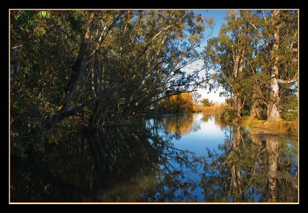
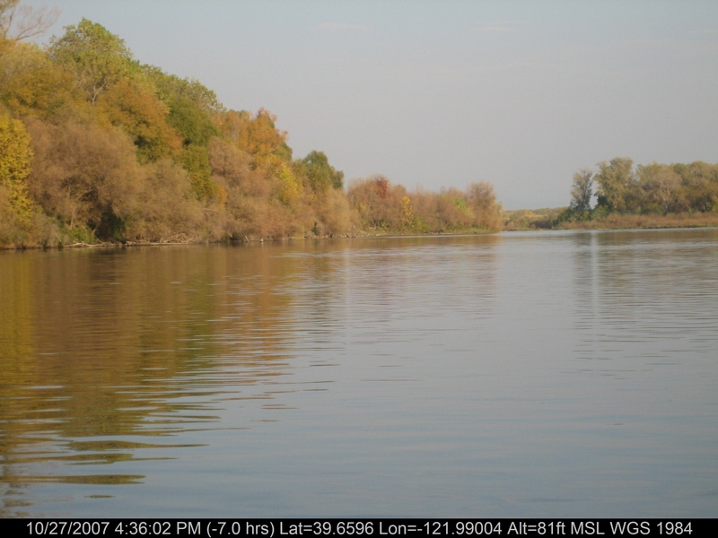
Fall Reflections
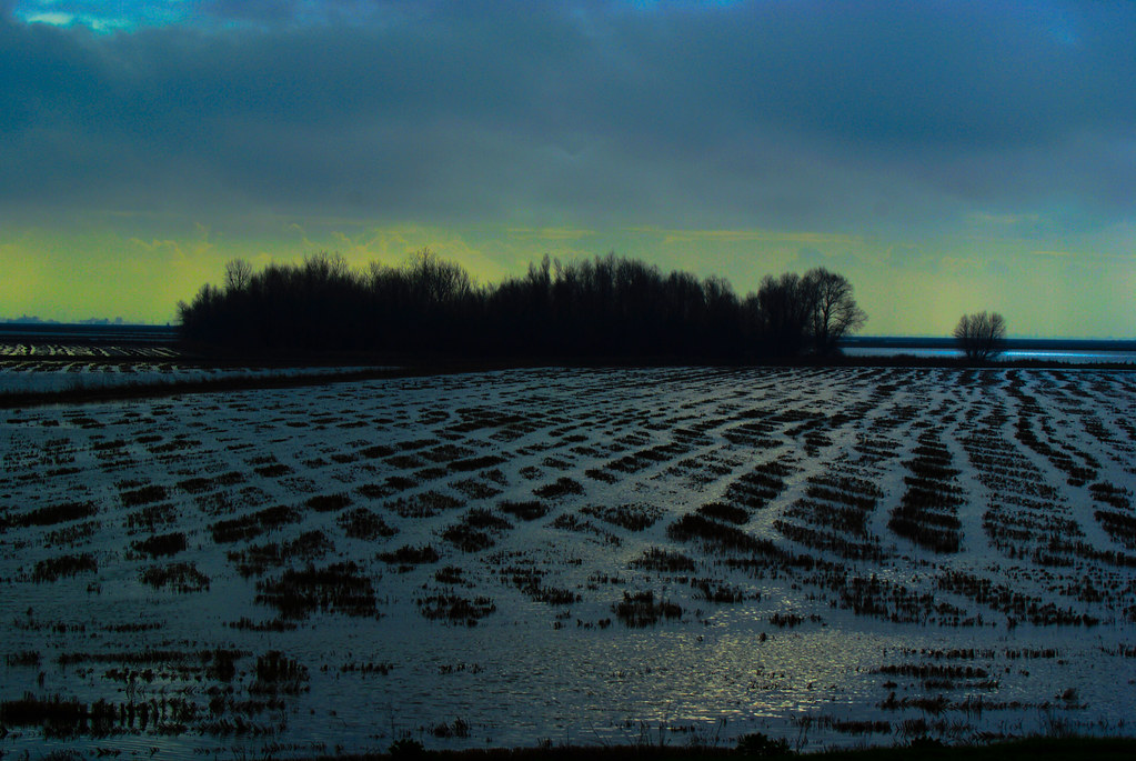
california rice fields
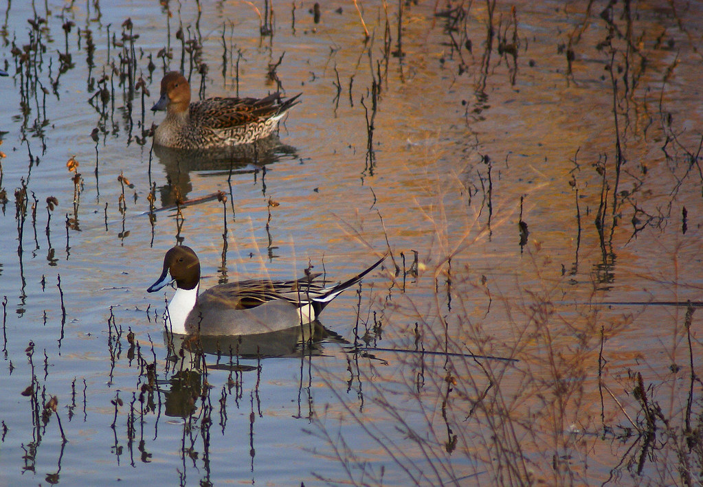
Northern Pintail Drake and Hen

Sacramento NWR Views #4
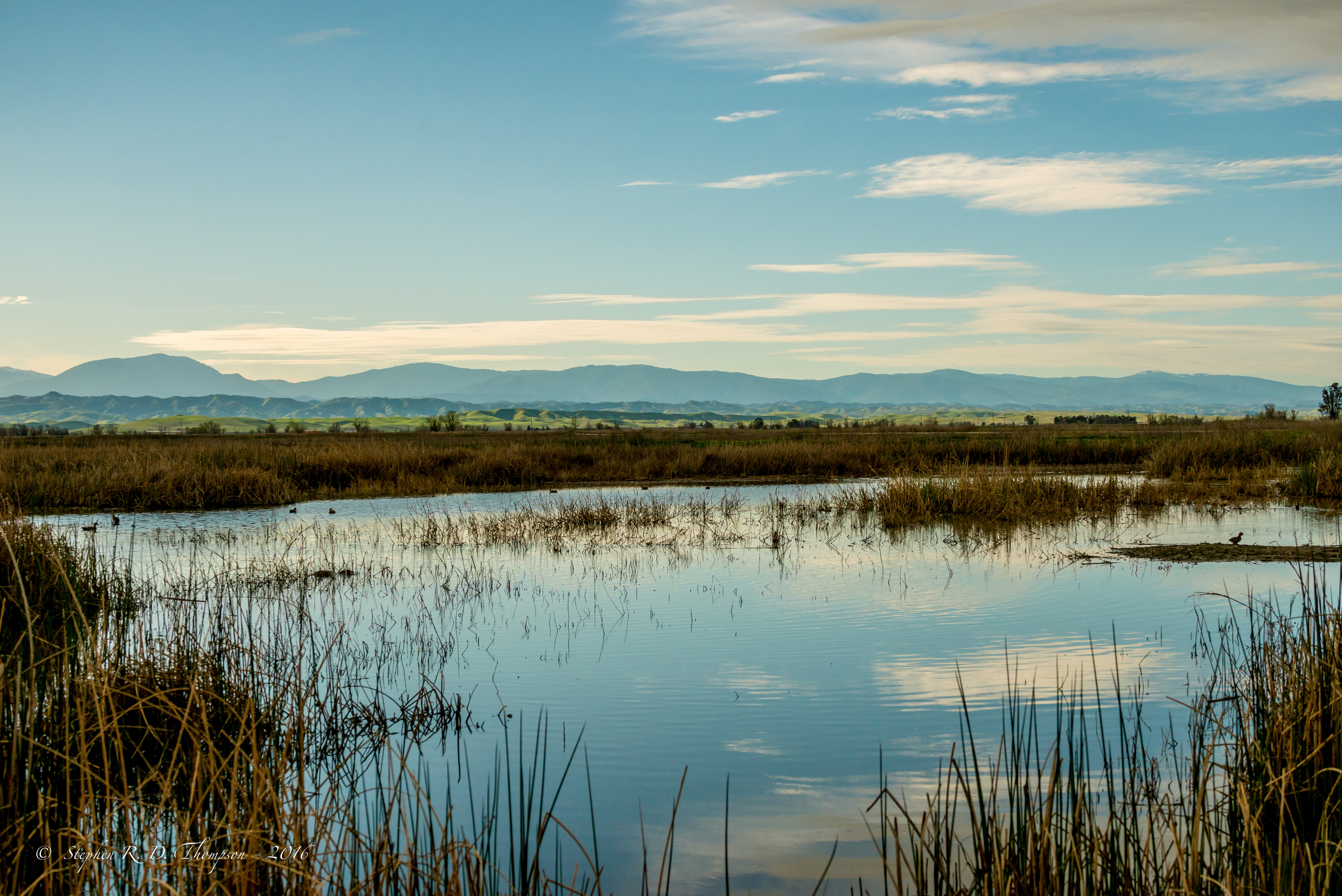
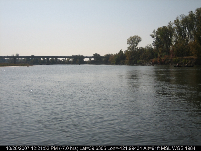
View looking West from Sacramento NWR
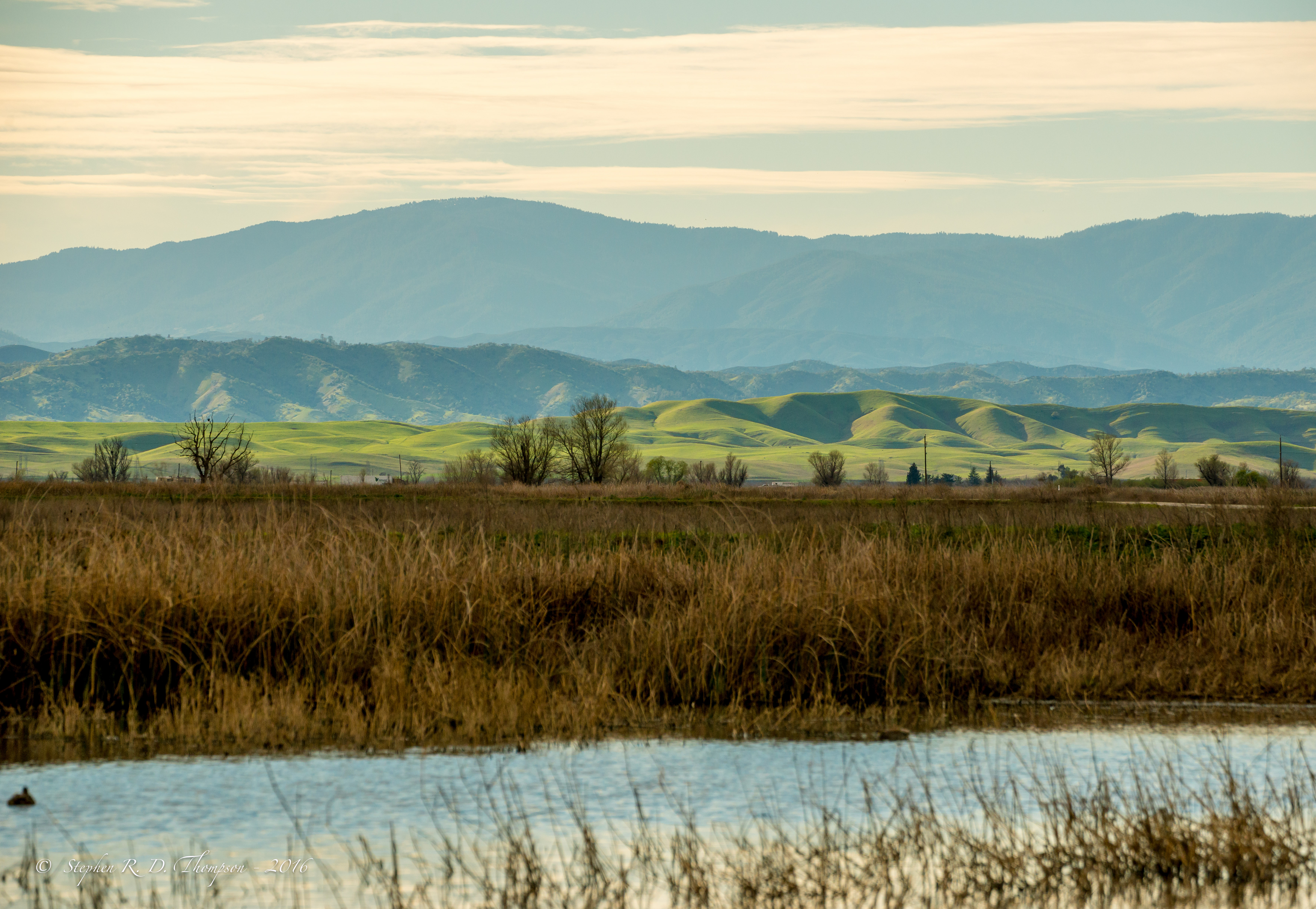
View looking West from Sacramento NWR

Red-tailed Hawk - Juvenile - 8881

Tundra Swan

Red-tailed Hawk - Juvenile - 8879
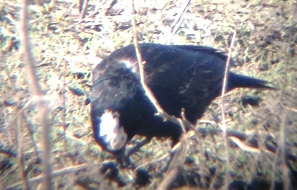
Partial amelanistic blackbird
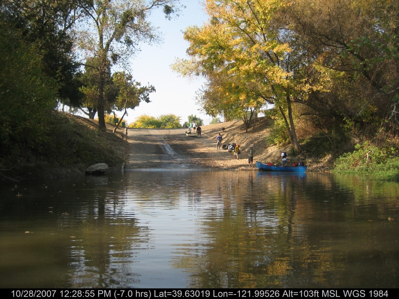
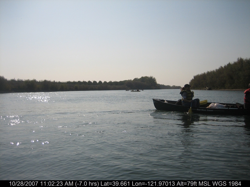
canoeing 260.jpg
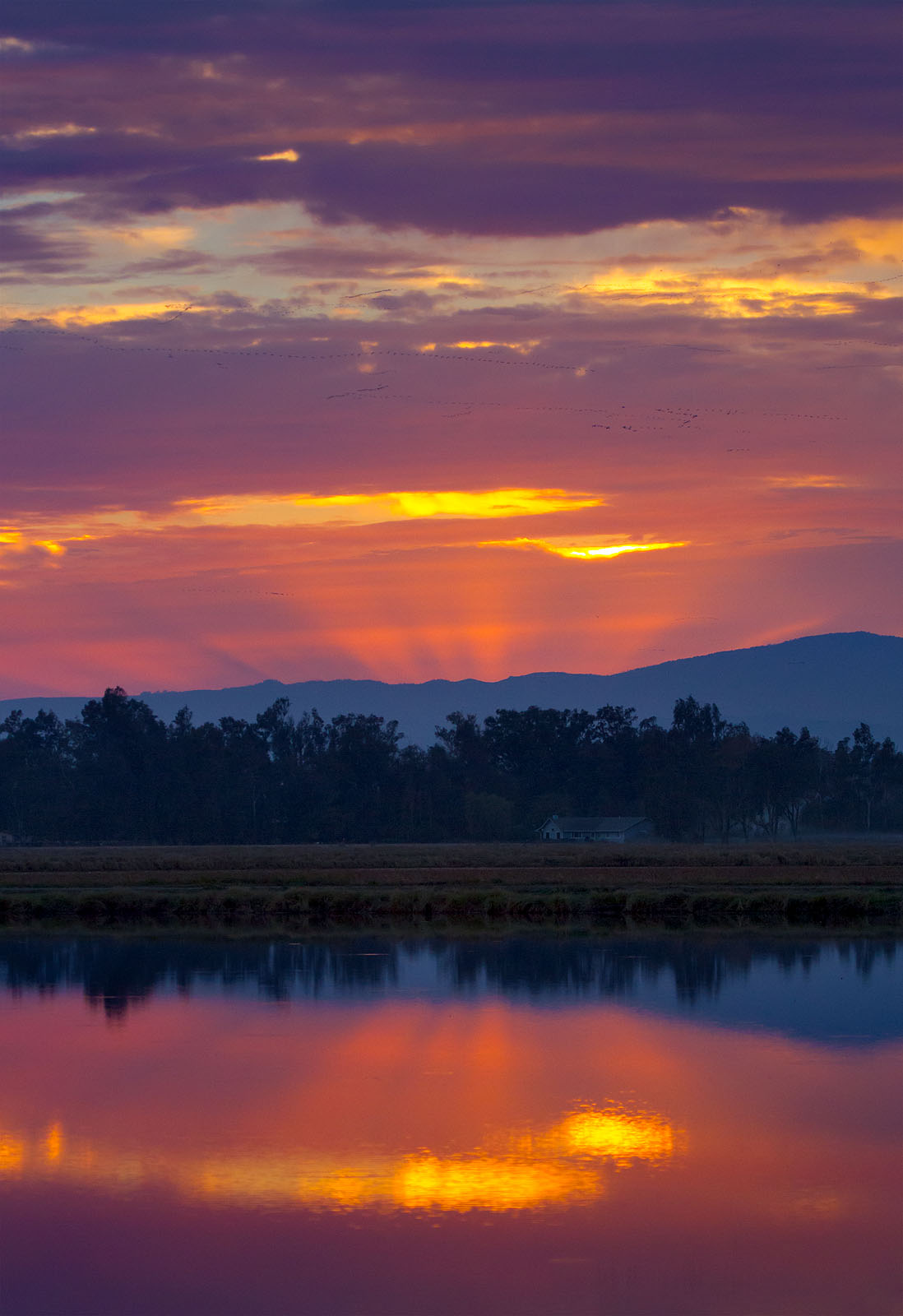
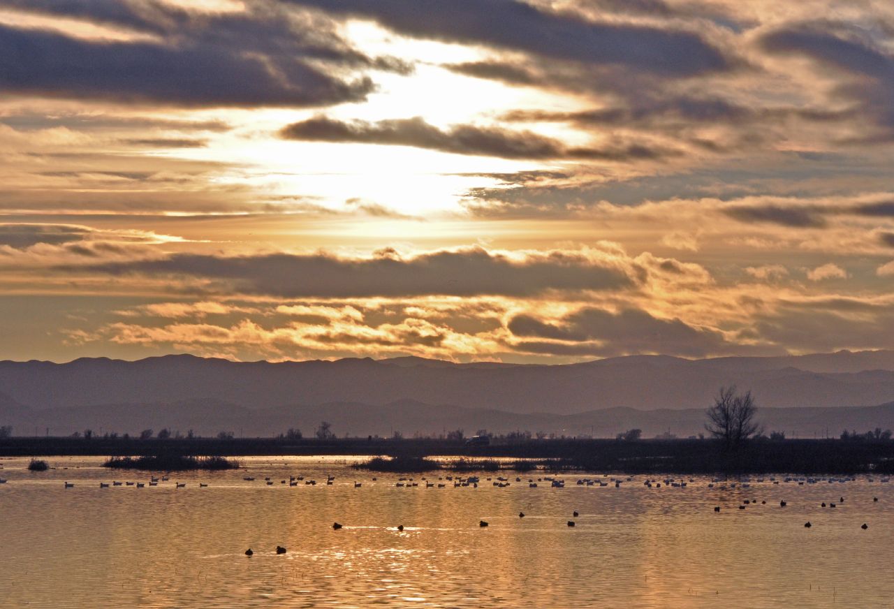
Rice Field Sunset
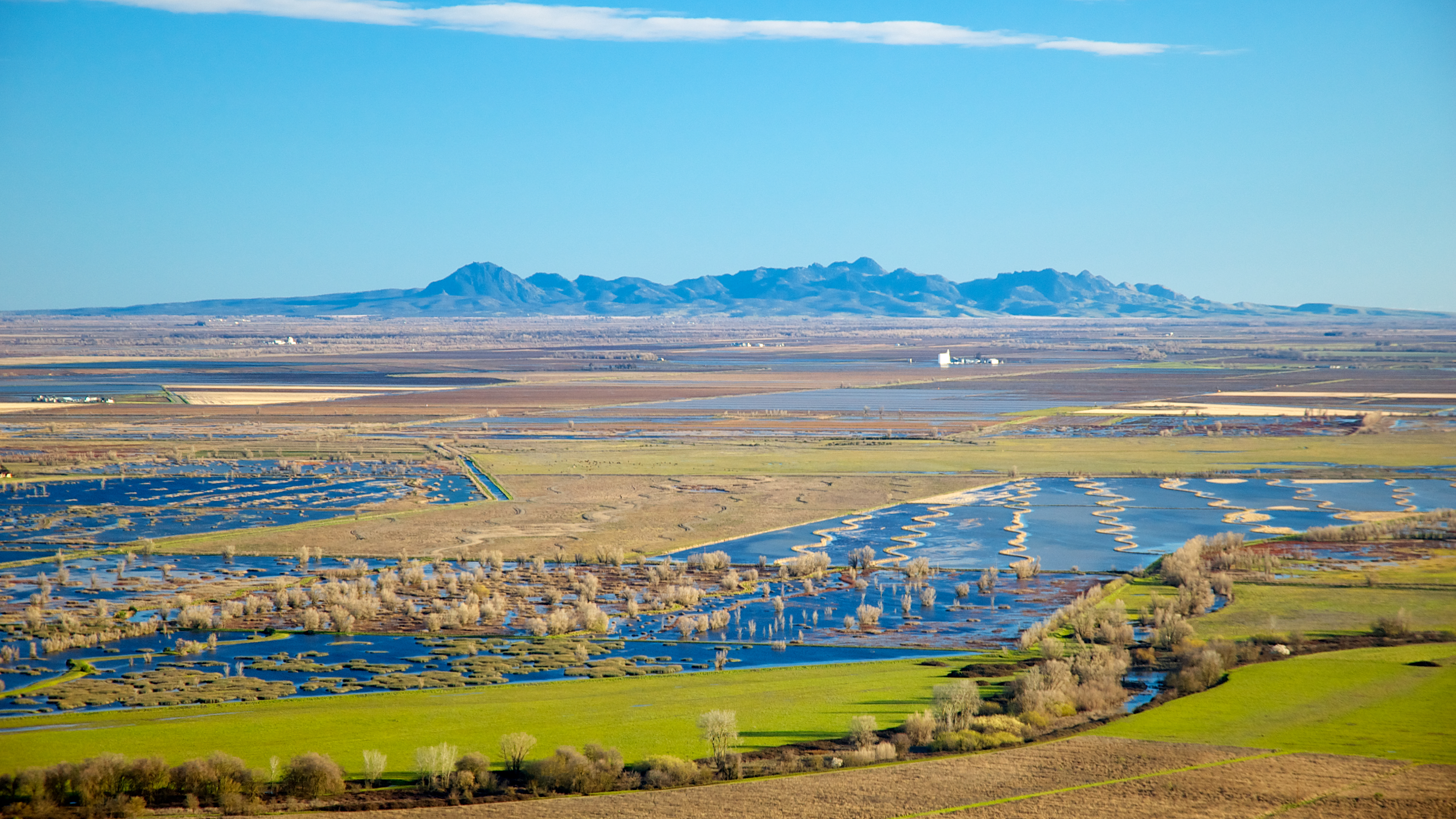
Sutter Buttes
canoeing 254.jpg
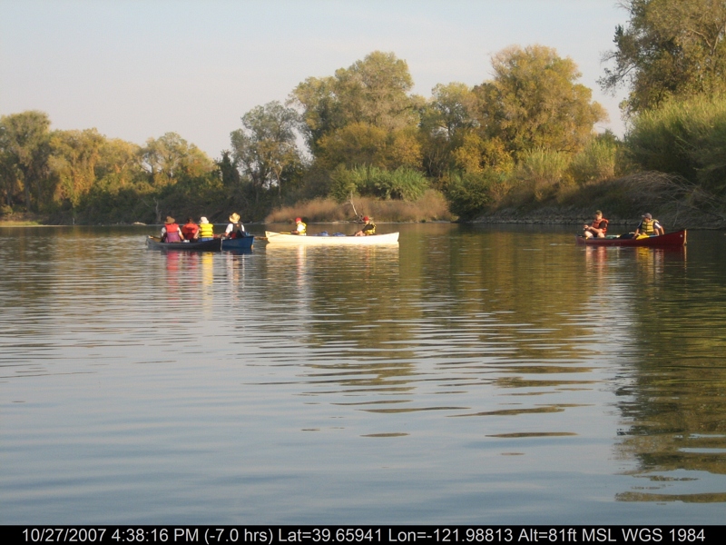
canoeing 169.jpg
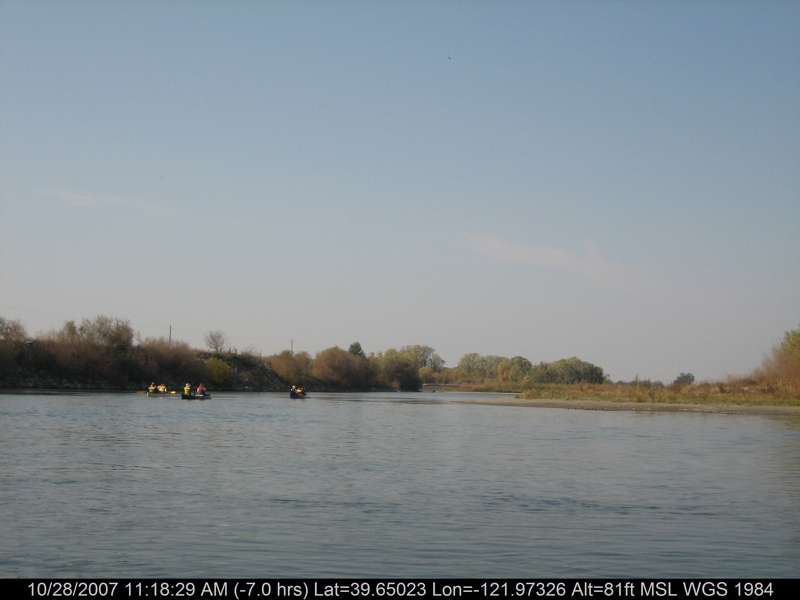
canoeing 212.jpg
Before sunset 12-30-10
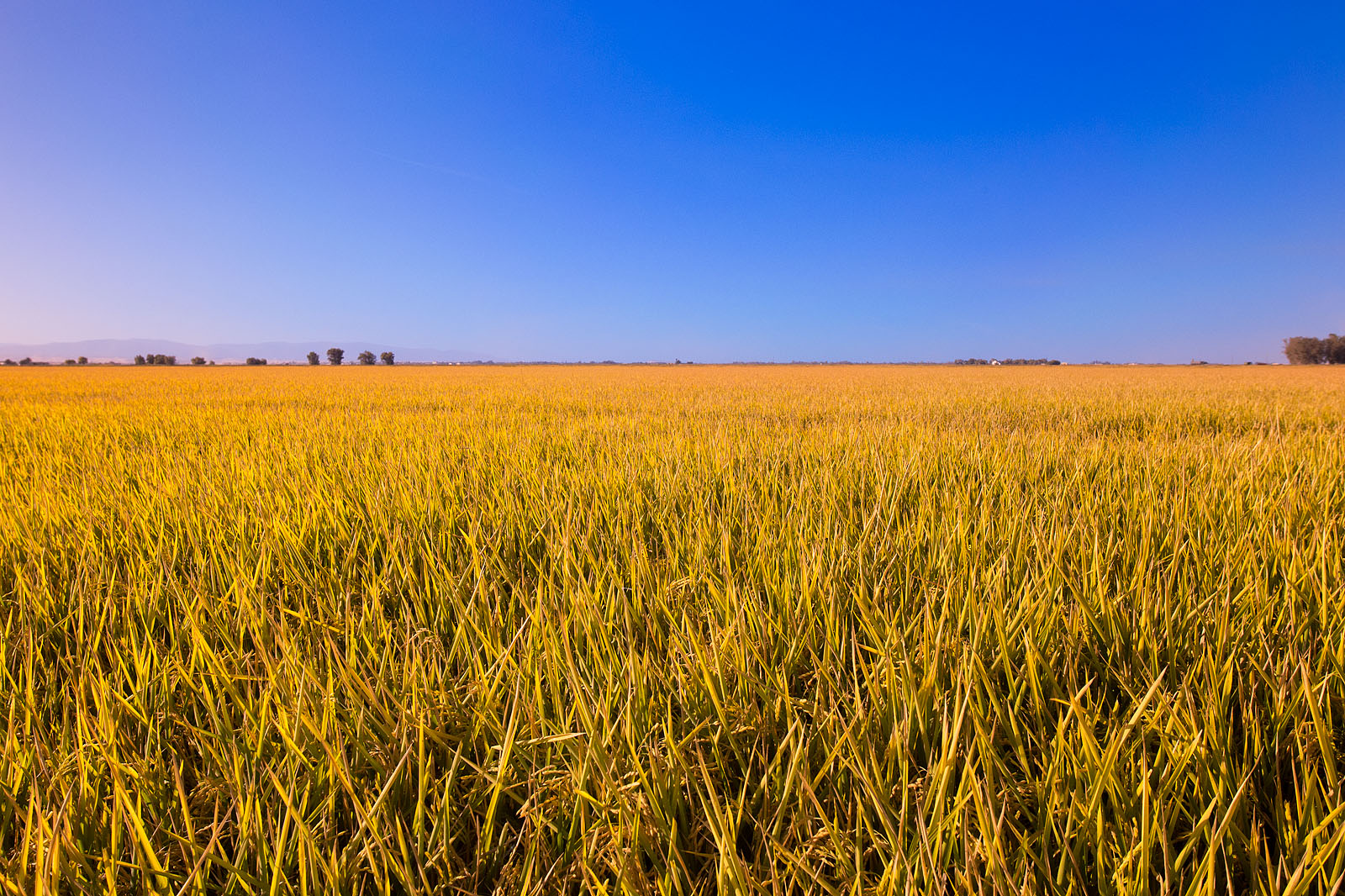
Rice Fields Ready for Harvest
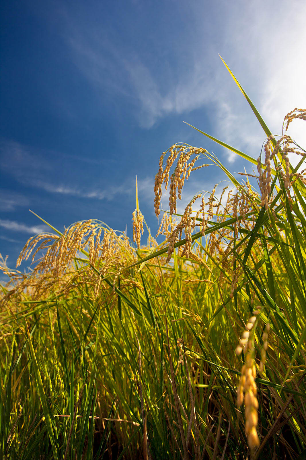
Ripe heads of rice in the field
Sunset at Sacramento NWR-07 HDR+1 12-7-11

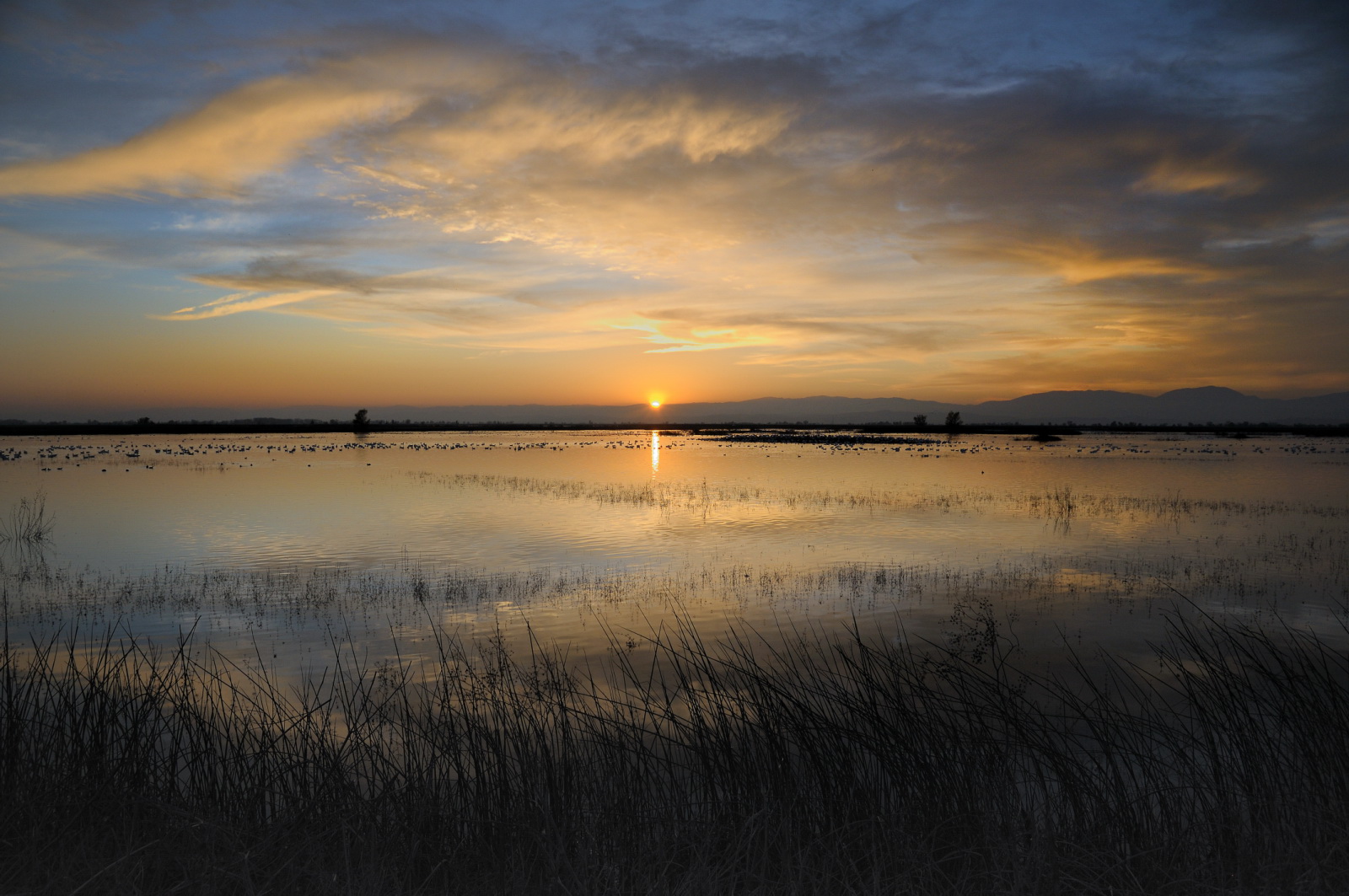
Land of the Setting Sun
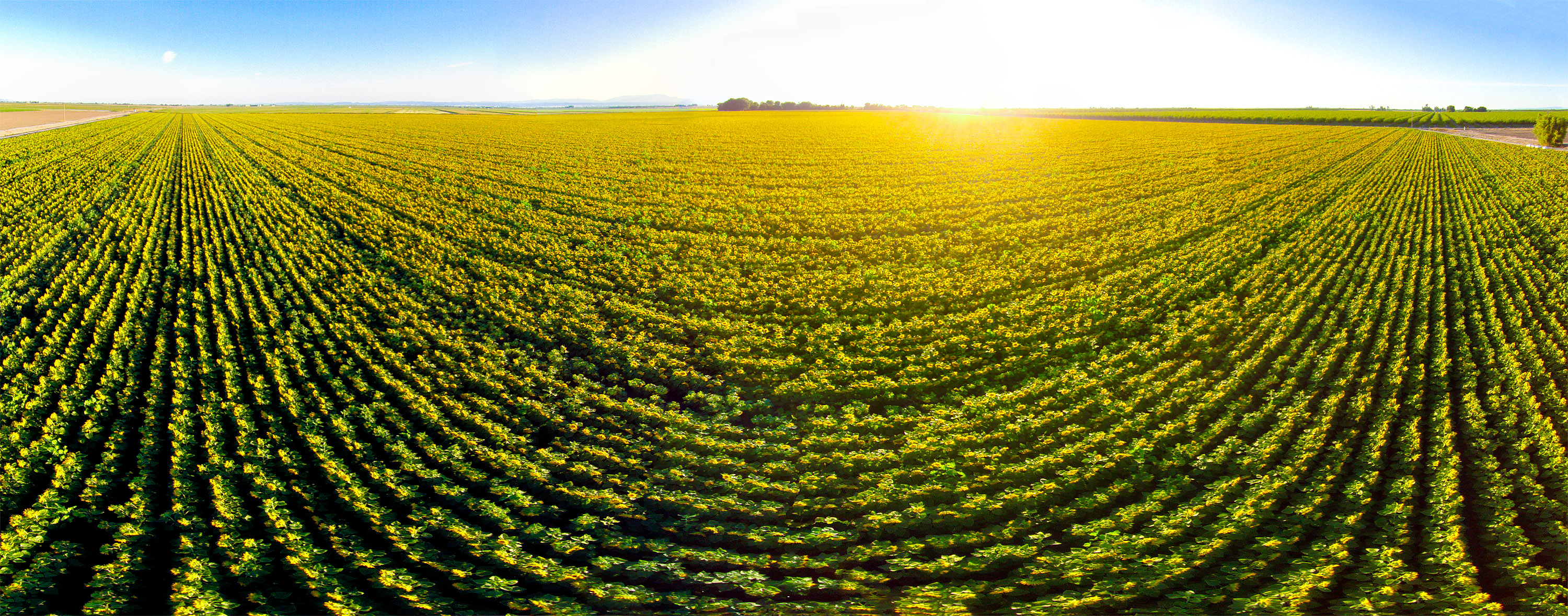
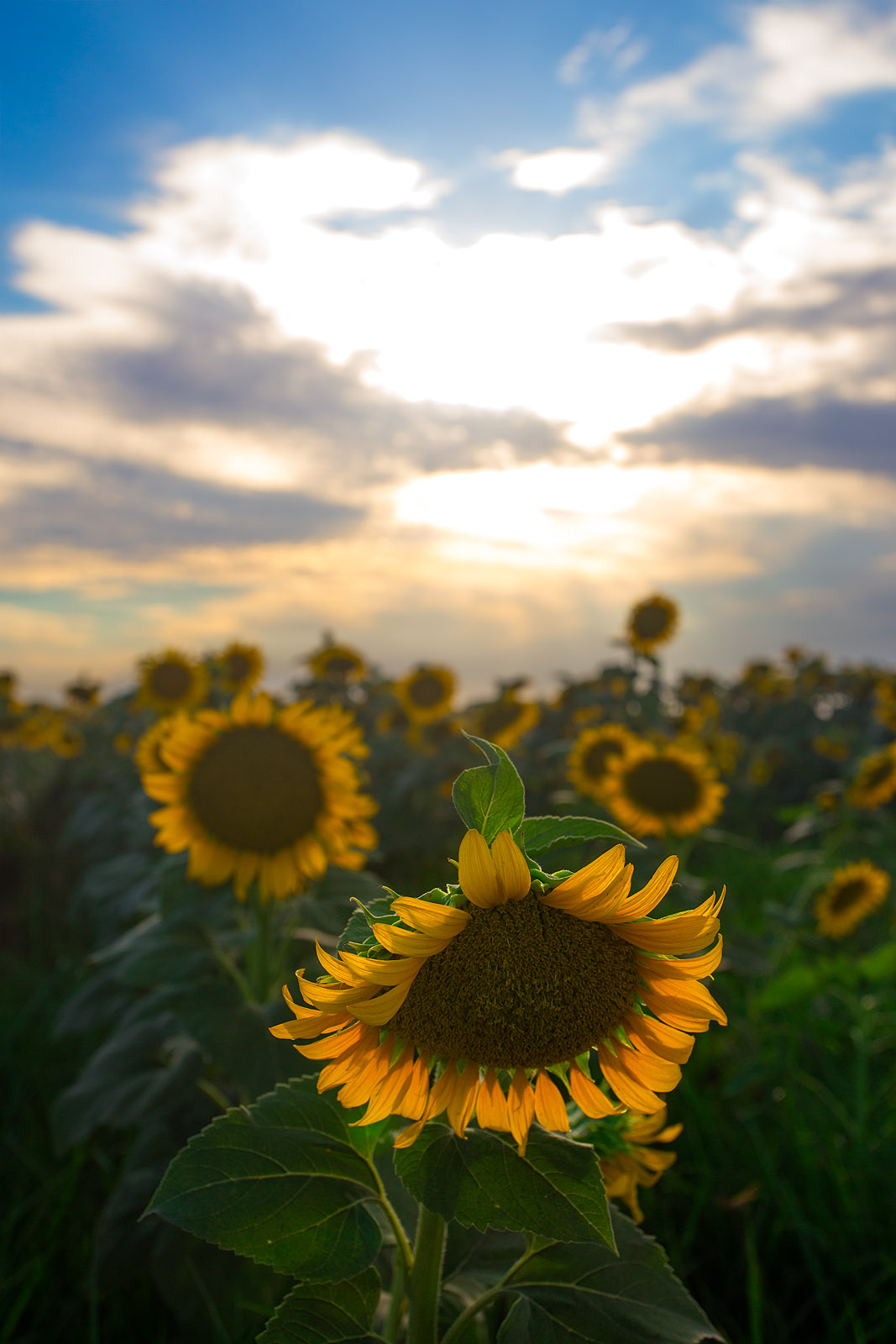
Sunflowers - Aerial Panorama
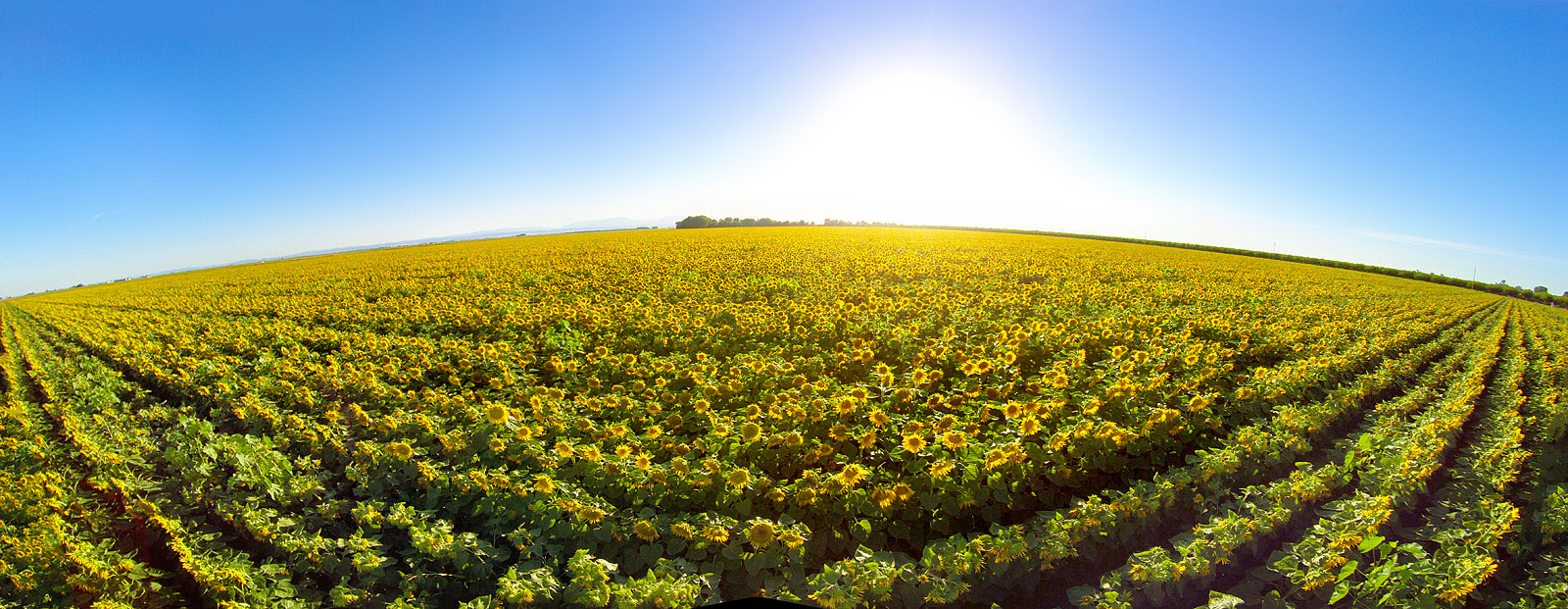
Sunflower Aerial Panorama
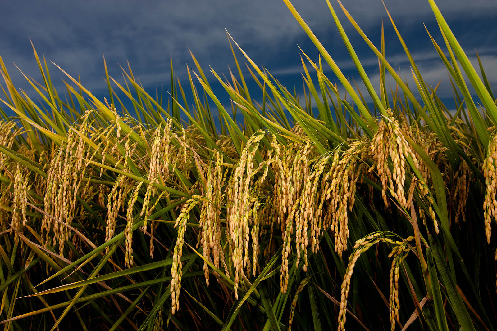
Ripe heads of rice in the field
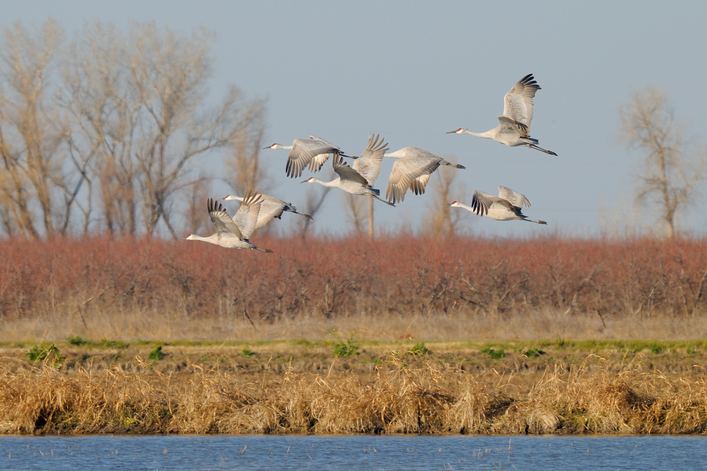
Sandhill Cranes in flight near Llano Seco NWR-28 1-25-14
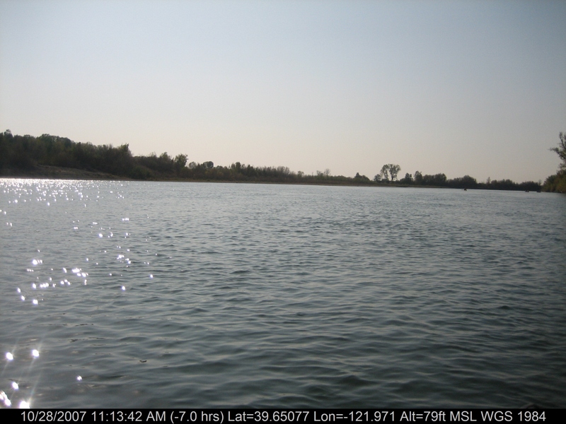
canoeing 201.jpg
canoeing 207.jpg
Sunflower Against the Sun
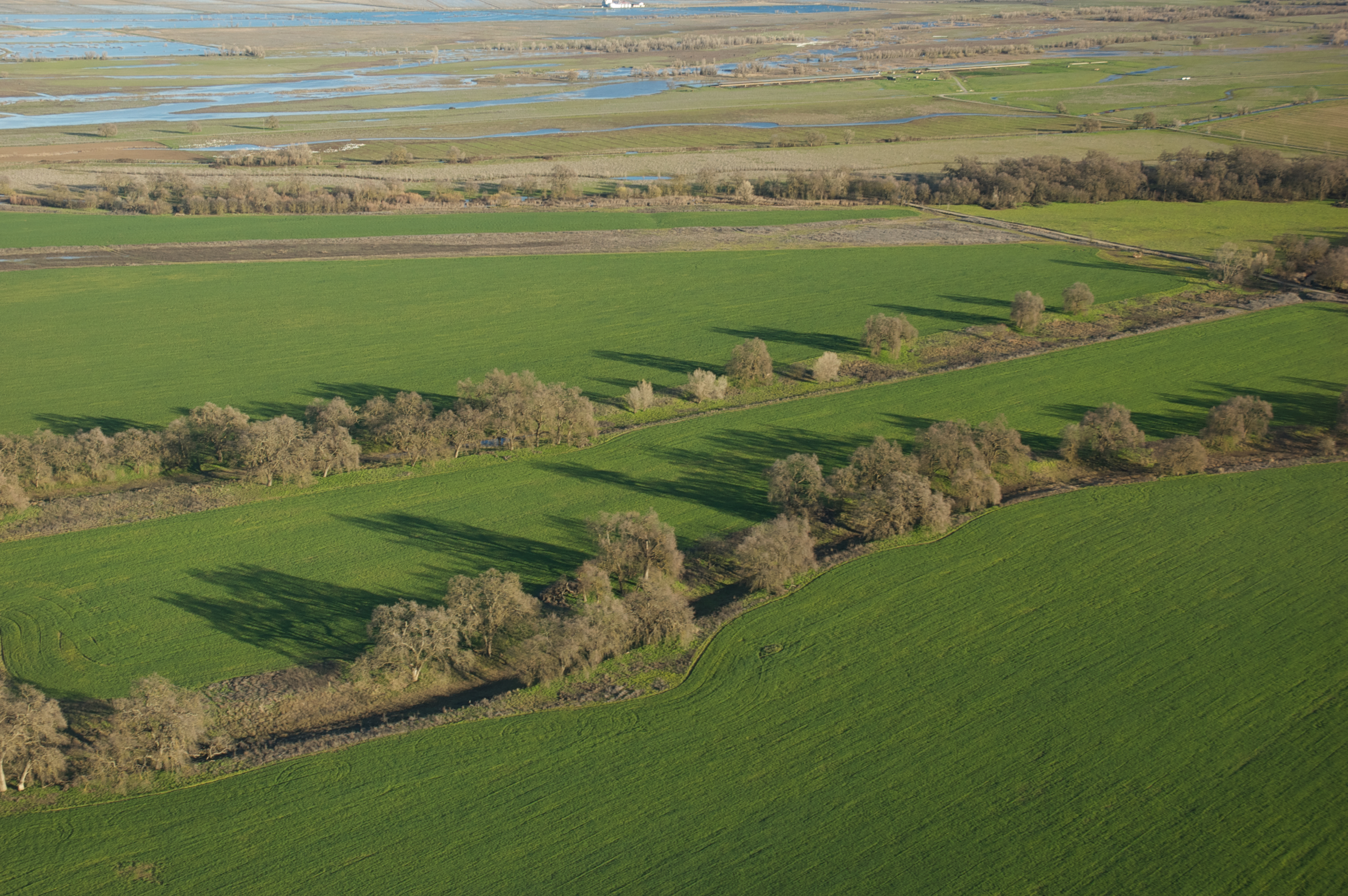
Rancho Llano Seco
canoeing 167.jpg
Topographic Map of CA-45, Glenn, CA, USA
Find elevation by address:

Places near CA-45, Glenn, CA, USA:
Glenn
Co Rd 61, Princeton, CA, USA
Hwy 48, Chico, CA, USA
Co Rd 32, Glenn, CA, USA
Princeton
Sacramento River
633 3rd St
Willows
County Rd 39, Willows, CA, USA
Front St, Chico, CA, USA
Artois
22 Co Rd JJ, Artois, CA, USA
6204 County Road 53
Co Rd 16, Orland, CA, USA
Main St, Hamilton City, CA, USA
Hamilton City
2781 Edgar Ave
9880 Fimple Rd
9880 Fimple Rd
Co Rd 27, Orland, CA, USA
Recent Searches:
- Elevation of Old Clairton Rd, Jefferson Hills, PA, USA
- Elevation of st Ave SE, Lisbon, ND, USA
- Elevation of Steamboat Island Road Northwest, Olympia, WA, USA
- Elevation of Kootenai Trail Rd, Bonners Ferry, ID, USA
- Elevation of Hickory Blvd, Bonita Springs, FL, USA
- Elevation of Lalagbene, Bayelsa, Nigeria
- Elevation of Ogbosuware Health Centre, 2WWJ+4PJ, Lalagbene, Bayelsa, Nigeria
- Elevation of Duckhorn Ct, Las Vegas, NV, USA
- Elevation of Garretts Run Rd, Ford City, PA, USA
- Elevation of N WI-55, Freedom, WI, USA