Elevation of Hwy 48, Chico, CA, USA
Location: United States > California > Butte County > Chico >
Longitude: -121.91902
Latitude: 39.5362805
Elevation: 31m / 102feet
Barometric Pressure: 101KPa
Elevation Map:
Satellite Map:
Related Photos:

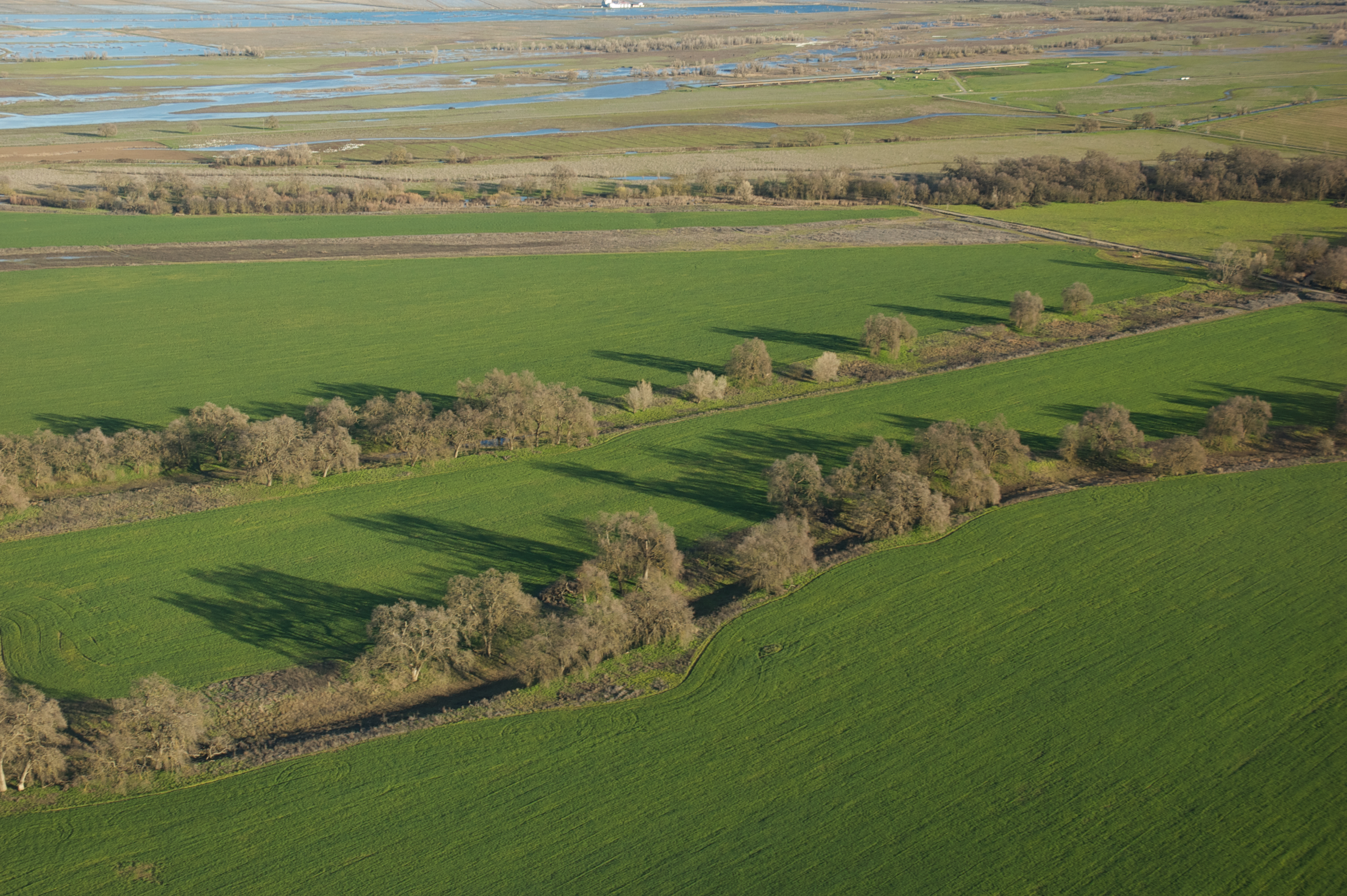
california rice fields

Tundra Swan
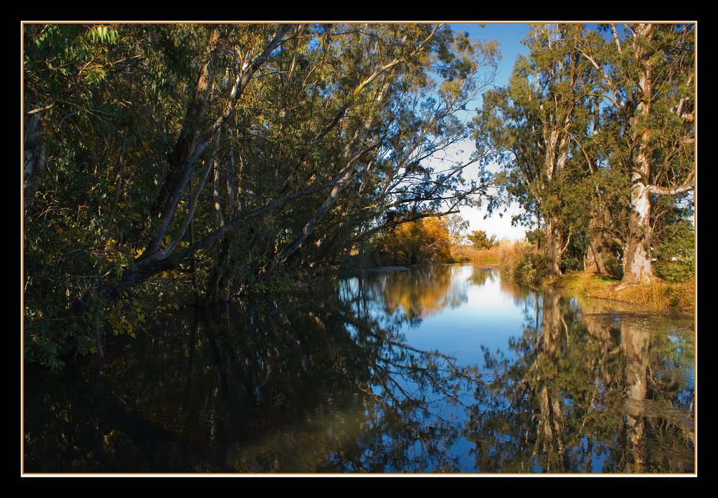
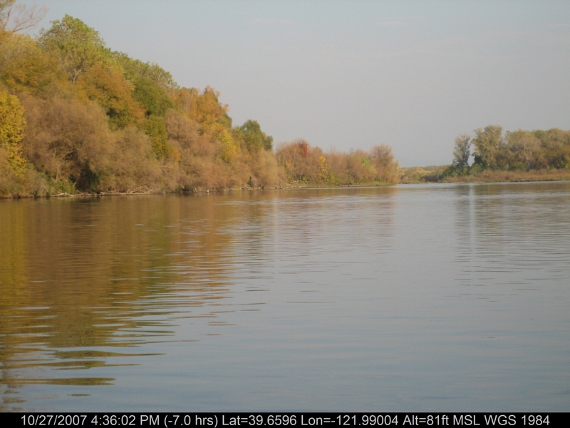
Fall Reflections

Northern Pintail Drake and Hen
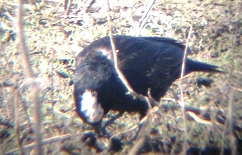
Partial amelanistic blackbird

Barn at Bayliss
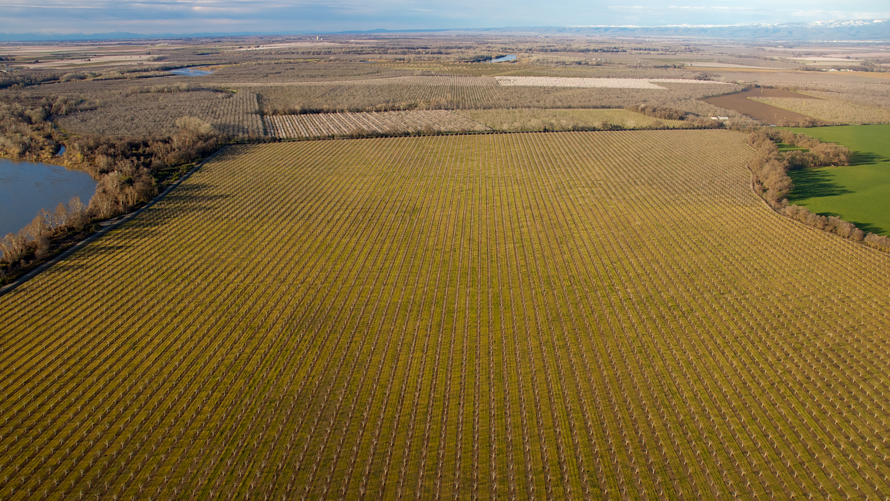
Young Orchards
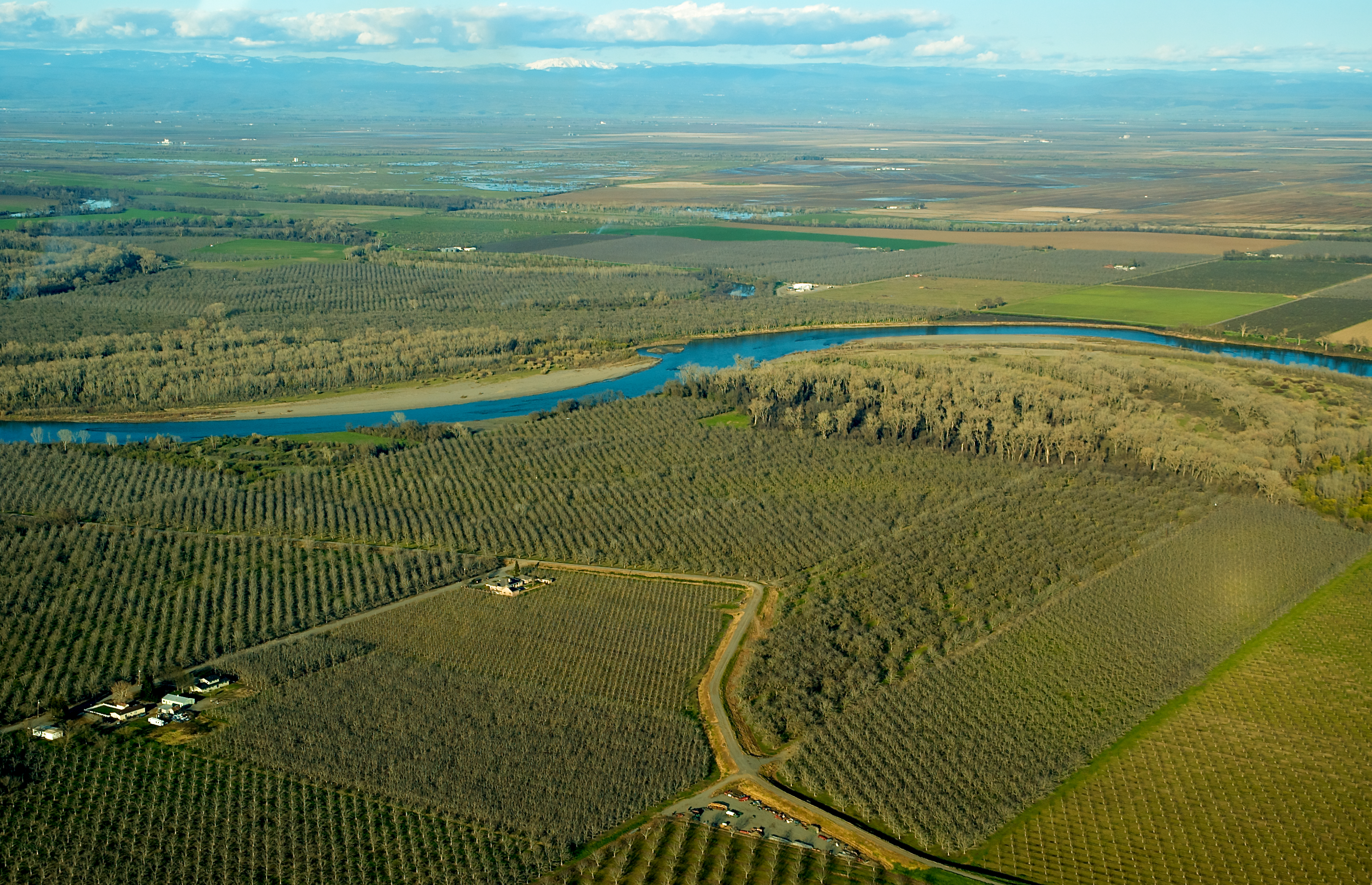
North Valley
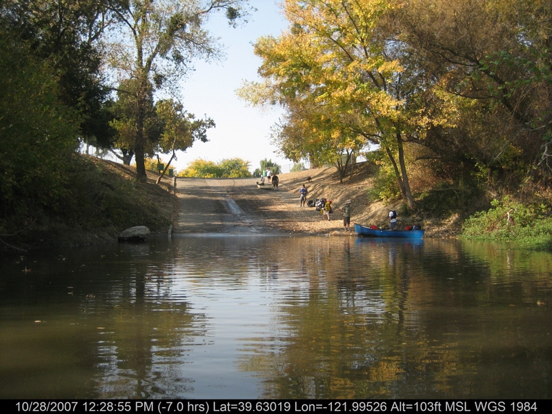
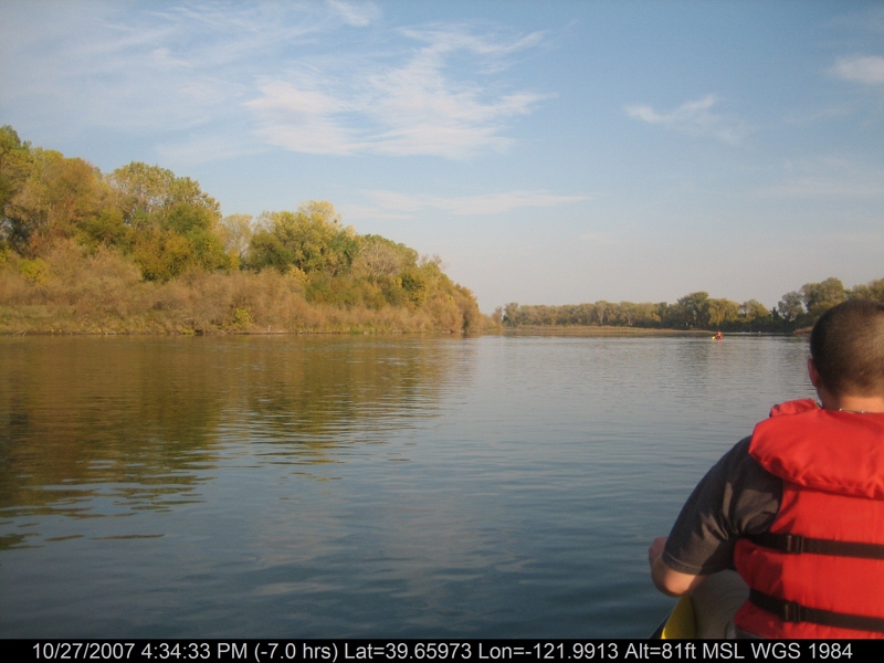
canoeing 260.jpg
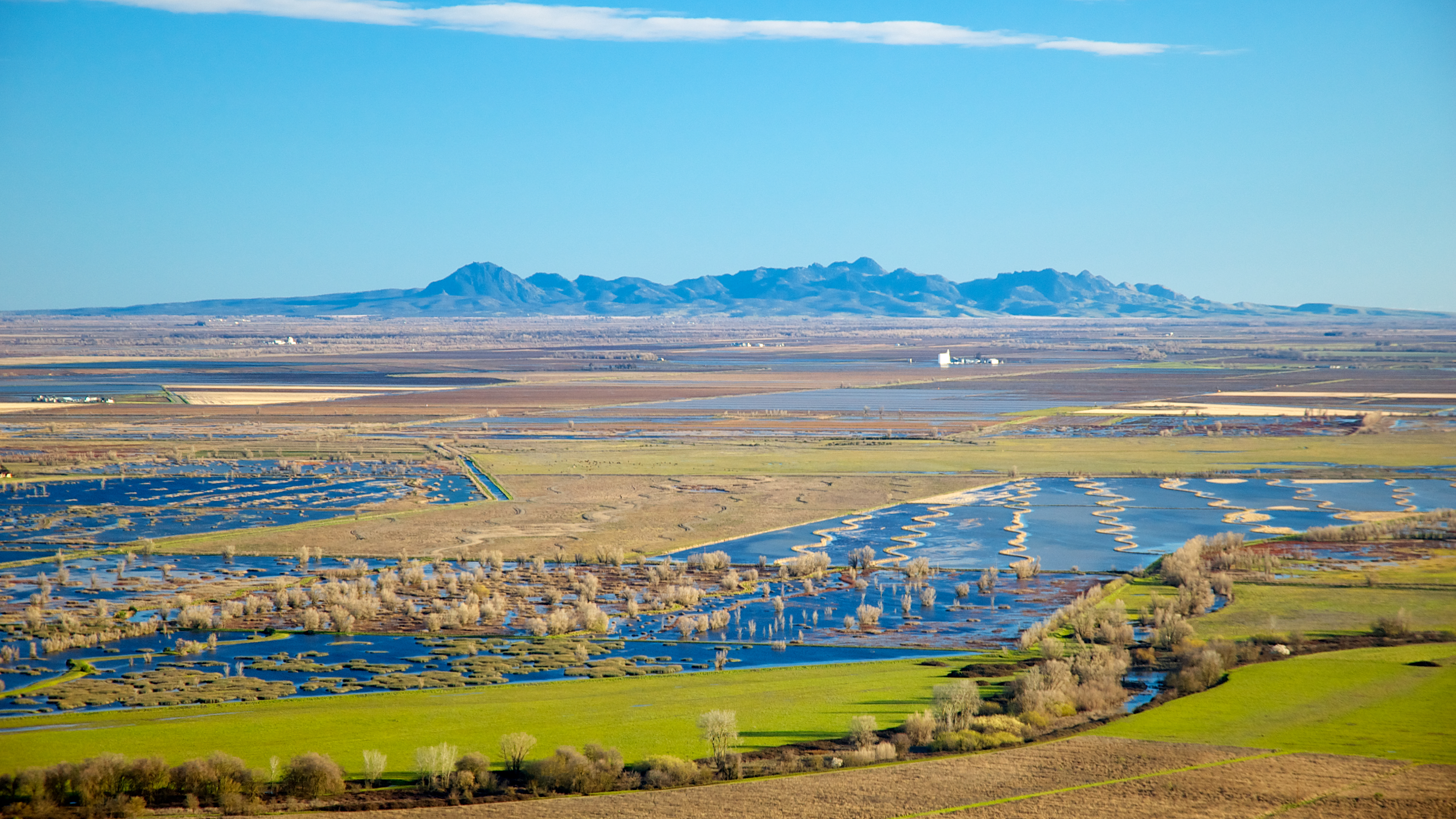
Sutter Buttes

Rice fields
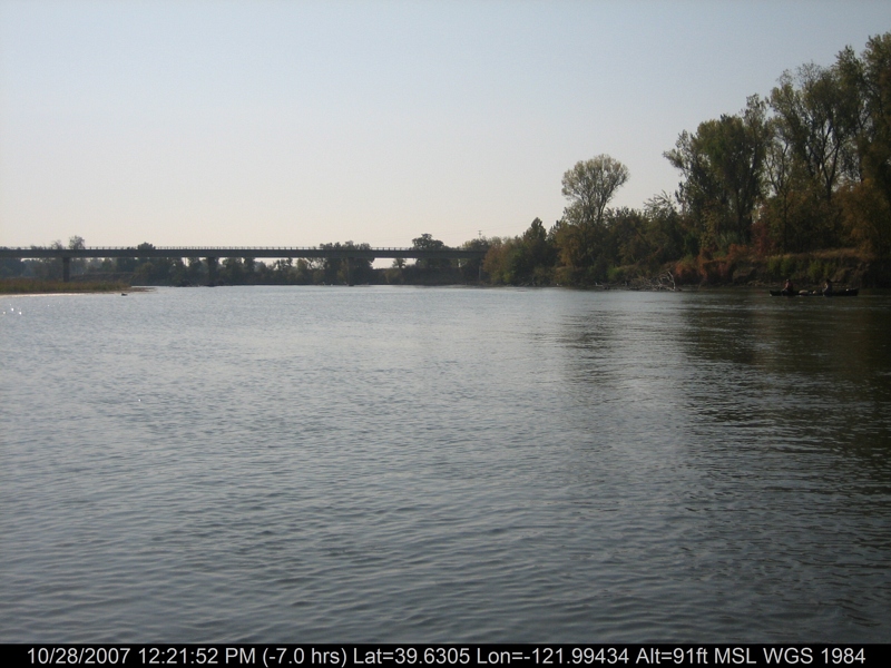
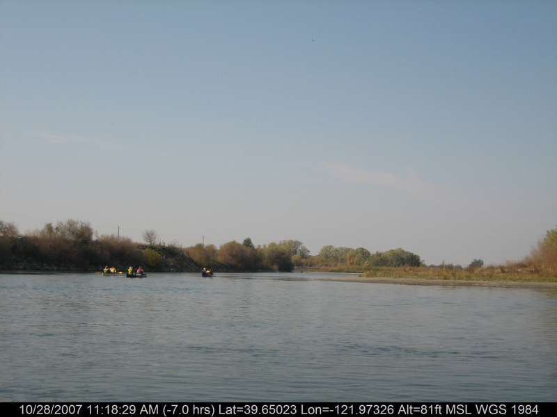
canoeing 254.jpg
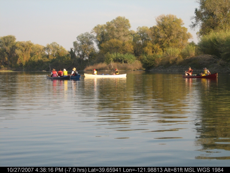
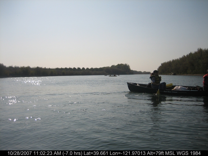
canoeing 169.jpg

Ripe heads of rice in the field

Sitting Out The Storm
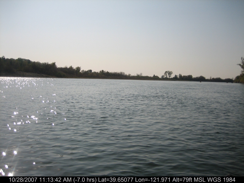
canoeing 212.jpg

Sandhill Cranes in flight near Llano Seco NWR-28 1-25-14

Ripe heads of rice in the field
canoeing 201.jpg
canoeing 207.jpg
Rancho Llano Seco
On ze road 2 #sanfrancisco #SF #tourbuslife #ustour #racinecarretour #stromae
canoeing 167.jpg

Ripe heads of rice in the field

Storm coming?
canoeing 166.jpg
Topographic Map of Hwy 48, Chico, CA, USA
Find elevation by address:

Places near Hwy 48, Chico, CA, USA:
Richvale Hwy, Oroville, CA, USA
Richvale
Biggs, CA, USA
W Hamilton Rd, Biggs, CA, USA
Golden State Hwy, Oroville, CA, USA
Biggs
B St, Biggs, CA, USA
State Highway 99, Oroville, CA, USA
Nelson Avenue
87 B St
Thermalito Afterbay
2908 Mead Ave
Tres Vias Rd, Oroville, CA, USA
380 Biggs East Hwy
428 Biggs East Hwy
597 Biggs East Hwy
684 Lattin Rd
Don Road
Biggs East Hwy, Biggs, CA, USA
Ord Ranch Rd, Gridley, CA, USA
Recent Searches:
- Elevation of Corso Fratelli Cairoli, 35, Macerata MC, Italy
- Elevation of Tallevast Rd, Sarasota, FL, USA
- Elevation of 4th St E, Sonoma, CA, USA
- Elevation of Black Hollow Rd, Pennsdale, PA, USA
- Elevation of Oakland Ave, Williamsport, PA, USA
- Elevation of Pedrógão Grande, Portugal
- Elevation of Klee Dr, Martinsburg, WV, USA
- Elevation of Via Roma, Pieranica CR, Italy
- Elevation of Tavkvetili Mountain, Georgia
- Elevation of Hartfords Bluff Cir, Mt Pleasant, SC, USA