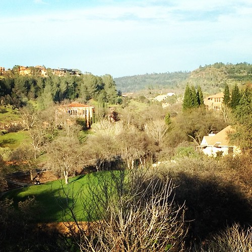
Elevation of Chico, CA, USA
Location: United States > California > Butte County >
Longitude: -121.83747
Latitude: 39.7284944
Elevation: 60m / 197feet
Barometric Pressure: 101KPa
Related Photos:
Topographic Map of Chico, CA, USA
Find elevation by address:

Places in Chico, CA, USA:
Chapmantown
Hwy 48, Chico, CA, USA
20 Overland Ct, Chico, CA, USA
Helltown Rd, Chico, CA, USA
Laurel St, Chico, CA, USA
Anita Rd, Chico, CA, USA
Ceejay Rd, Chico, CA, USA
Front St, Chico, CA, USA
E Commercial St, Chico, CA, USA
Richardson Springs Rd, Chico, CA, USA
Sacramento River
Humboldt Avenue
Forest Avenue
Larch Street
Places near Chico, CA, USA:
Downtown Chico Business Association
698 Mangrove Ave
1111 Olive St
555 Vallombrosa Ave
Chico State University
658 Vallombrosa Way
235 W Frances Willard Ave
California State University Chico
Humboldt Avenue
912 Linden St
University Stadium
Chico State University
1413 Fairway Alley
873 Wisconsin St
1628 Spruce Ave
257 E 7th Ave
1533 Arcadian Ave
Chapmantown
1377 Humboldt Ave
943 Bryant Ave
Recent Searches:
- Elevation of Corso Fratelli Cairoli, 35, Macerata MC, Italy
- Elevation of Tallevast Rd, Sarasota, FL, USA
- Elevation of 4th St E, Sonoma, CA, USA
- Elevation of Black Hollow Rd, Pennsdale, PA, USA
- Elevation of Oakland Ave, Williamsport, PA, USA
- Elevation of Pedrógão Grande, Portugal
- Elevation of Klee Dr, Martinsburg, WV, USA
- Elevation of Via Roma, Pieranica CR, Italy
- Elevation of Tavkvetili Mountain, Georgia
- Elevation of Hartfords Bluff Cir, Mt Pleasant, SC, USA


