Elevation of W Hamilton Rd, Biggs, CA, USA
Location: United States > California > Butte County > Biggs >
Longitude: -121.72355
Latitude: 39.449407
Elevation: 29m / 95feet
Barometric Pressure: 101KPa
Elevation Map:
Satellite Map:
Related Photos:

An asteroid hit my barn

Long view of the yard

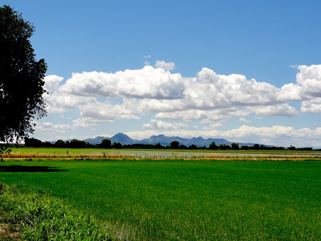
california rice fields
Crew view
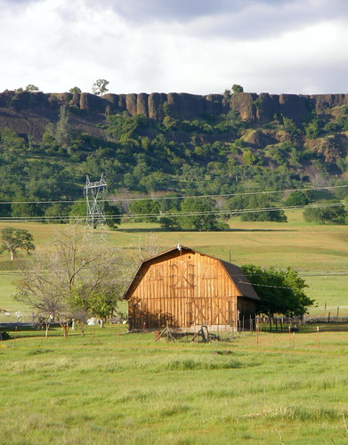
Table Mountain in Butte County California

The Chinese temple in Oroville California
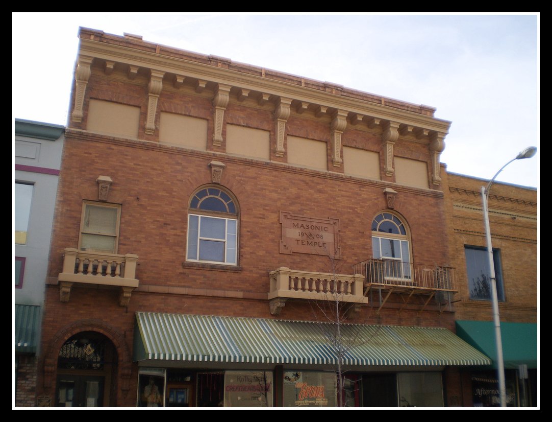
Masonic Temple

Day 785 [8-13-15]: Probe

Day 697 [5/17/15]: I Spy Something Up High
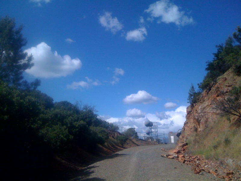
Thermalito view
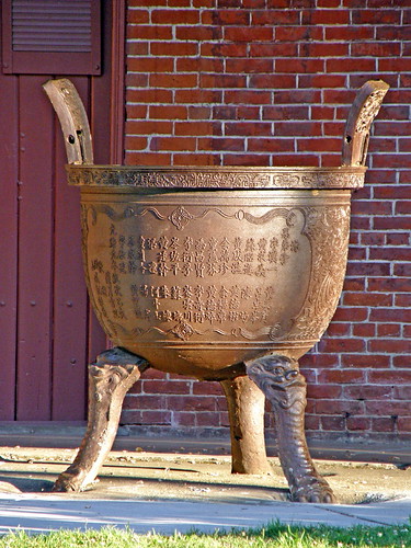
Urn at the Chinese Temple in Oroville CA

Majestic oak #trees in Manuel Vierra Park. #Gridley #California

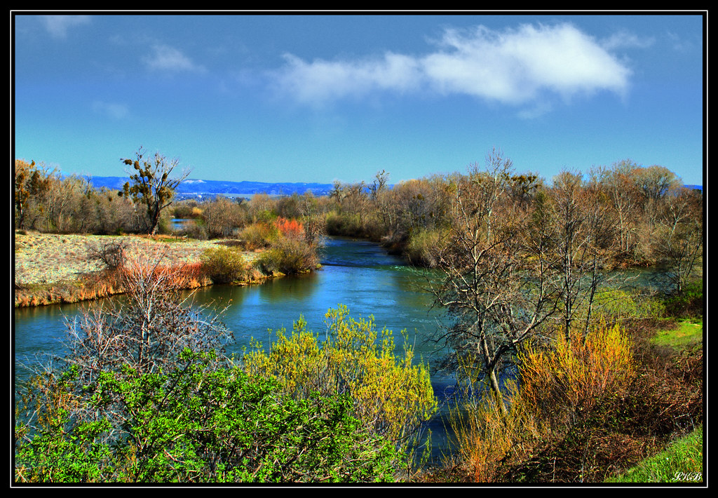
Feather River, Riverbend Park #river #oroville #calfornia #buttecounty #water #landscape #scenery #nature
Oroville Wildlife Area

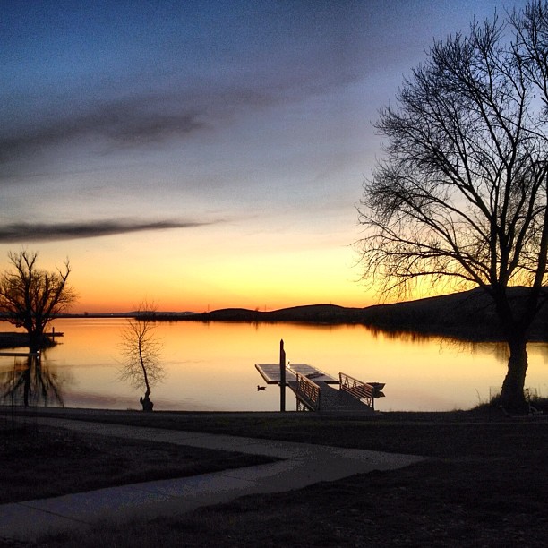
Sunset in the Rice Fields of the Sacramento Valley

Sunset in the Rice Fields of the Sacramento Valley

Ripe heads of rice in the field
Sutter Buttes

Sunset in the Rice Fields of the Sacramento Valley

Sunset at Gray Lodge Wildlife Area
20140227_111306_Jem Rd

Ripe rice in the field

Sunset in the Rice Fields of the Sacramento Valley

Sunset in the Rice Fields of the Sacramento Valley

The Sutter Buttes at Sunset in the Rice Fields of the Sacramento Valley
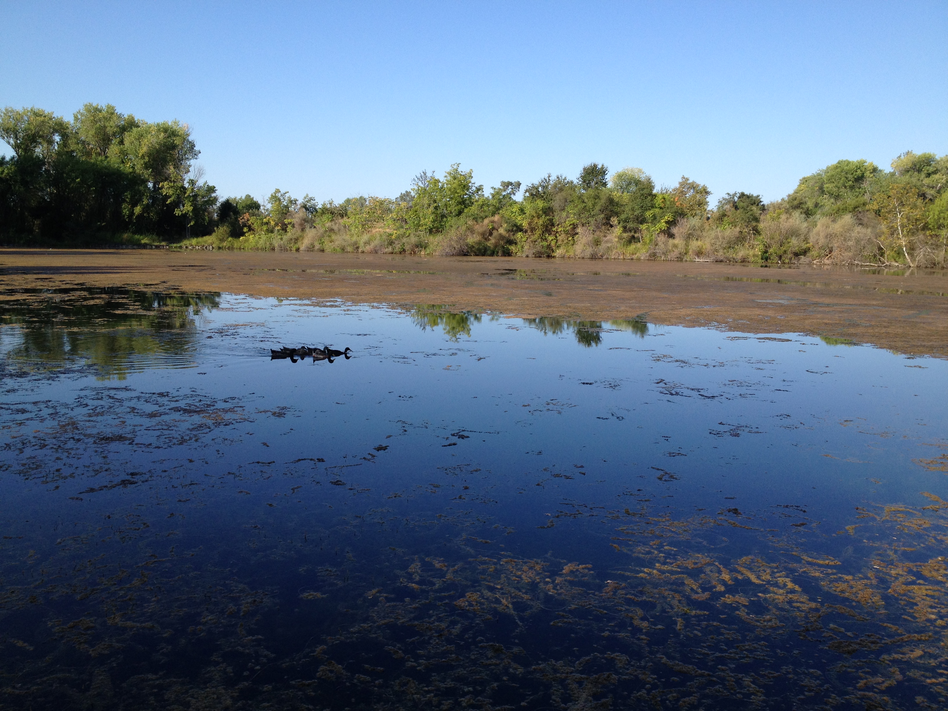
Pond, Riverbend Park 2014

Sunset in the Rice Fields of the Sacramento Valley

Sunset in the Rice Fields of the Sacramento Valley
Oroville, CA

Sunset in the Rice Fields of the Sacramento Valley

Sunset in the Rice Fields of the Sacramento Valley
Topographic Map of W Hamilton Rd, Biggs, CA, USA
Find elevation by address:

Places near W Hamilton Rd, Biggs, CA, USA:
Biggs, CA, USA
Biggs
B St, Biggs, CA, USA
87 B St
Richvale Hwy, Oroville, CA, USA
Richvale
2908 Mead Ave
380 Biggs East Hwy
428 Biggs East Hwy
Thermalito Afterbay
597 Biggs East Hwy
684 Lattin Rd
Don Road
Biggs East Hwy, Biggs, CA, USA
Nelson Avenue
Ord Ranch Rd, Gridley, CA, USA
Golden State Hwy, Oroville, CA, USA
2141 Larkin Rd
Tres Vias Rd, Oroville, CA, USA
State Highway 99, Oroville, CA, USA
Recent Searches:
- Elevation of Luther Road, Luther Rd, Auburn, CA, USA
- Elevation of Unnamed Road, Respublika Severnaya Osetiya — Alaniya, Russia
- Elevation of Verkhny Fiagdon, North Ossetia–Alania Republic, Russia
- Elevation of F. Viola Hiway, San Rafael, Bulacan, Philippines
- Elevation of Herbage Dr, Gulfport, MS, USA
- Elevation of Lilac Cir, Haldimand, ON N3W 2G9, Canada
- Elevation of Harrod Branch Road, Harrod Branch Rd, Kentucky, USA
- Elevation of Wyndham Grand Barbados Sam Lords Castle All Inclusive Resort, End of Belair Road, Long Bay, Bridgetown Barbados
- Elevation of Iga Trl, Maggie Valley, NC, USA
- Elevation of N Co Rd 31D, Loveland, CO, USA