Elevation of Deep Gap Farm Rd E, Mill Spring, NC, USA

Location: United States > North Carolina > Polk County >

Longitude: -82.274351

Latitude: 35.3395194

Elevation: 371m / 1217feet

Barometric Pressure: 97KPa

Elevation Map:

elevation map of Deep Gap Farm Rd E, Mill Spring, NC, USA

Satellite Map:

Satellite map of Deep Gap Farm Rd E, Mill Spring, NC, USA

Related Photos:

northcarolina chimneyrock usa
Spectacular view from Chimney Rock, North Carolina
12mm sel1224gm sony sony1224f28 sony1224gm sonya7iv sonygm mirror lake vacation airbnb north carolina lure
Little Mirror Lake
canon northcarolina rebelxt canonrebelxt kamote lakelure rebelxti eos400d canoneos400d streamoflife canonrebelxti pkchallenge kamoteus2003 kamoteus burabog kaantabe91 ronmiguelrn fairfieldsmountains
on a different perspective... tgif my friend!
northcarolina chimneyrock usa
Fabulous view from Chimney Rock trail, North Carolina
lake water northcarolina chimneyrockpark chimneyrock lakelure specland
The View from Chimney Rock
trees usa mountains northcarolina waterfalls forests blueridgemountains eastcoast saluda appalachianmountains supershot panoramafotográfico terpsphotostream
PEARSON'S FALLS BLUE RIDGE MOUNTAINS ~ N.C.
chimneyrock northcarolina
Framed view of the valley from Chimney Rock, North Carolina
nikonz50 pearsons falls viltrox naturepark autumnleaves northcarolina picnic table dxophotolab5 luminarneo park outdoors forest woods easternus blueridge colt creek
Long Autumn Picnic View
broadriver chimneyrock clouds mountains nc park river trees water hdr
Breathtaking and at the same time calming view at the end of climb
2021 northcarolina blackandwhite ghostsigns polkcounty favorites 7up pepsicola 5favorites 500views
Cola Ghost Signs - Mill Spring, NC
ronpersan northcarolina chimeyrock usa 2017
NC Chimney Rock_20170722_0053
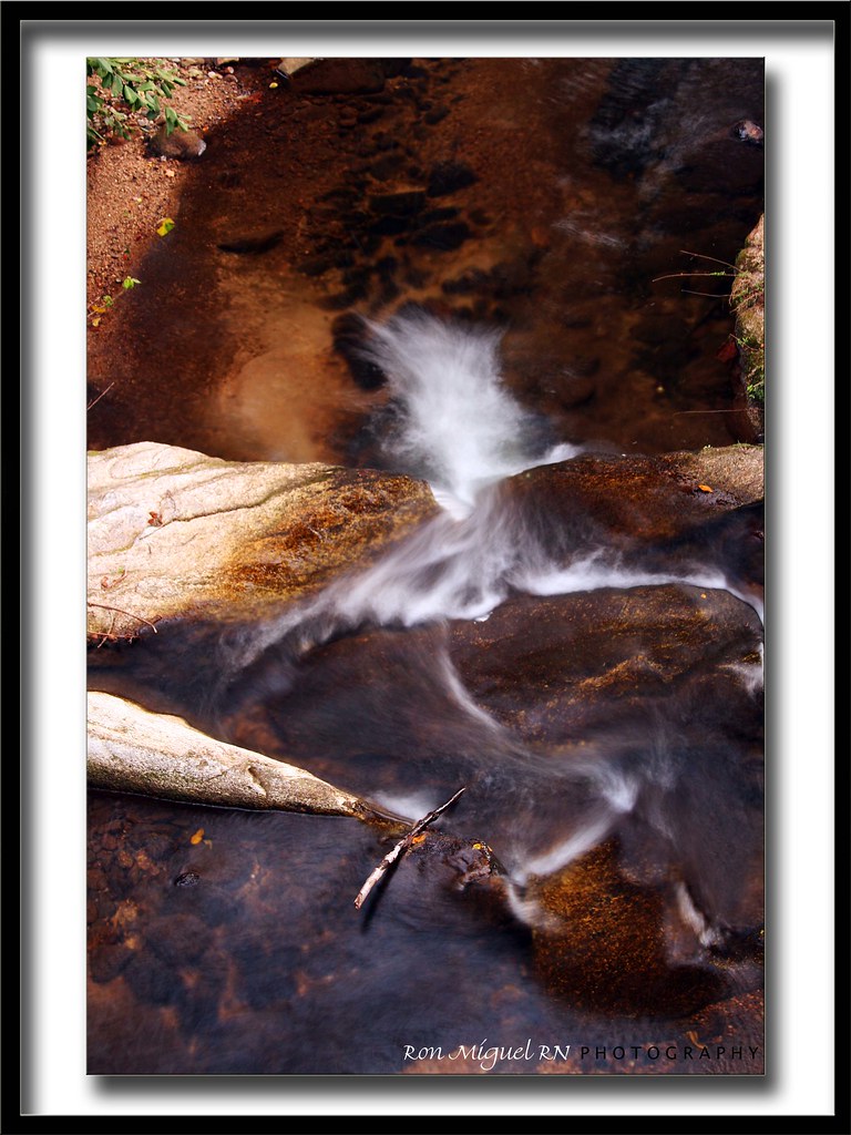
longexposure white water creek nc moss rocks stream northcarolina flowing cascade naturephotography polkcounty mosscovered pearsonsfalls davidhopkinsphotography ncpedia
Cascading Water
park wood parque parco usa mountain lake rock montagne landscape lago view kodak flag lac paisaje bosque bandera vista affichage monte paysage roccia veduta parc montagna vue paesaggio roca bois roche bosco bandiera p880 banniere totoro88 riccardogranaroli
Chimney Rock North Carolina USA
chimney mountains rock clouds river 20mm nikkor f8
view from lower Chimney Rock
water nc rocks whitewater northcarolina rush cascade naturephotography polkcounty pearsonsfalls ncpedia
In a Hurry
pearsonsfalls pearsonsfallsglen pearsonsfallsandglen botanicalpreserve saluda nc northcarolina outdoors outside nature wildlife waterfall waterfalls trees foliage leaves coltcreek creek water stream nikon d7200 nikkor 18200mm amateur handheld may 2021 spring beauty beautiful mosses fern shrubs walkingpath path hike hiking green greenery tryongardenclub
Pierson's Falls Emerges
longexposure trees waterfall nc rocks whitewater northcarolina saluda naturephotography polkcounty ndfilter naturesfinest pearsonsfalls davidhopkinsphotography ncpedia
Pearson's Falls
lakesummit lakesummitrealestate lakesummitaerial tuxedo tuxedorealestate tuxedoaerial zirconia hendersoncounty land property blueridgemountains saludamountains saluda summercamp camp lake aerial realestate waterfront lakefront mountains scenic nc northcarolina luxury aerialphoto wnc color horizontal unitedstates usa spring westernnorthcarolina upstate 16307708594 vau1311900
Lake Summit in Tuxedo North Carolina Aerial View
trafficlights trafficlight pvmccainstrafficlights pvmccainstrafficlight pvmccains pvmccain
PV McCain Traffic Lights
lake mountains beach water nc rocks northcarolina vista lifeguardstand wnc lakelure westernnorthcarolina rutherfordcounty davidhopkinsphotography
A Day at the Beach-WNC Style
park chimneyrock
View from Chimney Rock
saluda north carolina the south blue ridge mountains pacolet river water stream hike hiking outdoor landscape woods forest waterfall
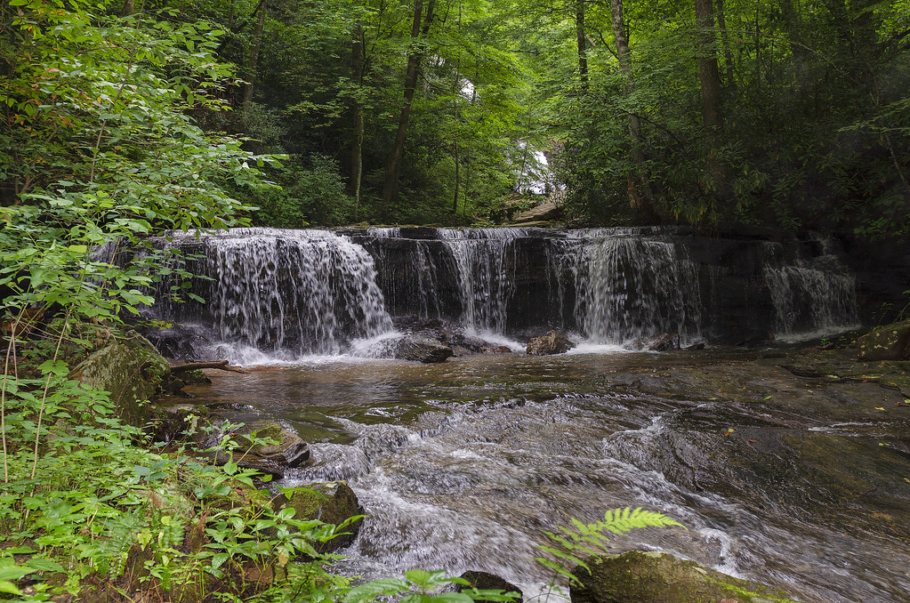
Gentle Falls on the North Pacolet River
north pacolet river saluda carolina the south pearson falls water forest woods hike hiking outdoor landscape
Pearson Falls
the carolina north pacolet river pearson falls saluda south water woods outdoor landscape rocks rocky
North Pacolet River
saluda north carolina the south blue ridge mountains pacolet river water stream hike hiking outdoor landscape woods forest moss
Moss on River Rock
trees blur nature water landscape landscapes waterfall rocks northcarolina waterblur saluda waterflow westernnorthcarolina flowingwater littlebradleyfalls nikonflickraward
Little Bradley Falls (Saluda, North Carolina)
saluda north carolina the south blue ridge mountains pacolet river water stream hike hiking outdoor landscape woods forest
Gentle North Pacolet
saluda north carolina the south landscape outdoor hike hiking woods forest trees waterfall pearson falls bw black white monotone
Pearson Falls - BW
fall colors forest northcarolina waterfalls blueridgeparkway
brevard-6
north pacolet river saluda carolina the south water forest woods hike hiking outdoor landscape
North Pacolet River III
longexposure mountains water creek waterfall nc rocks stream northcarolina saluda wnc polkcounty westernnorthcarolina pearsonsfalls waterfallphotography davidhopkinsphotography
Below the Falls
ansel iphoneart blackandwhite hipstamatic
Low Key
blackandwhite anseladams lowkey sooc square landscape iphoneart iphone hipstamatic monochrome bw
Sunrise Tryon
lake water northcarolina chimneyrockpark chimneyrock lakelure operabox
Chimney Rock
bw lightroom nc northcarolina photoshop randall us xs amazing background beautiful beauty blackwhite blackandwhite creek dark day daylight hickory iphone image imagery interesting natural nature photo portrait pretty river wallpaper hendersonville unitedstatesofamerica
Little River
landscape scenic rural ultraviolet uv uva panoramic trees barns northcarolina
Snowstorm on Roper Road
sunset cloud clouds nikon northcarolina nikkor sunrays crepuscular dx apsc cloudyevening bearwallowmountain cropsensor d7000 nikond7000
Sunset at Bearwallow Mountain (Henderson County)
Peace On Earth
park usa geotagged nc unitedstates map northcarolina hendersonville greenspace flatrock themeadows wnc parkmap westernnorthcarolina publicpark hendersoncounty hendersonvillenc flatrocknorthcarolina flatrocknc kingcreek conceptualmap nikonsigma hendersonvillenorthcarolina oldgolfcourse hendersoncountync hendersoncountynorthcarolina dyecreek theparkatflatrock highlandlakegolfclub preliminarymap geo:lat=3529175697 geo:lon=8243640125
The Park At Flat Rock (Flat Rock, North Carolina)
flower hendersonville zennia
Field of Zinnias Under a Very Cloudy Sky
canon 6d hickory nut falls wasserfall nature
3778 Hickory Nut Falls