Elevation of West Center Street, W Center St, Fillmore, UT, USA
Location: United States > Utah > Millard County > Fillmore >
Longitude: -112.3320647
Latitude: 38.9689014
Elevation: 1551m / 5089feet
Barometric Pressure: 0KPa
Related Photos:

Window on State House

Utah Territorial State House

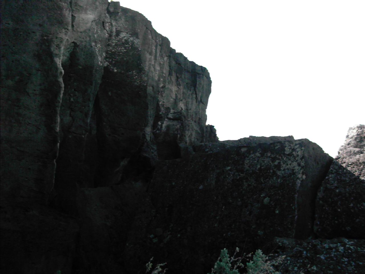
Lava tube view hole

View from the hotel, Fillmore, Utah.

View of the highest peak

Hi !!! My world view is all turned around ! Yay !!! I missed a few #100happydays posts, but I did not miss the happy days themselves. XOXO

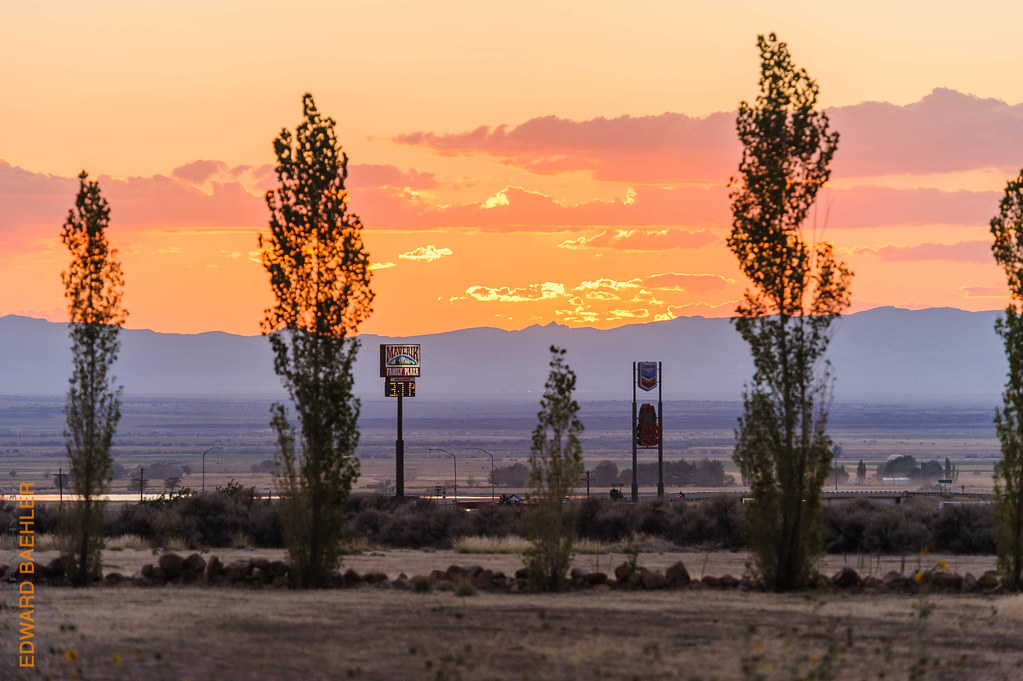
last light of the day...

Filmore RV Ground

Entering Utah

Other riders on the trail

Filmore RV Ground

Filmore RV Ground
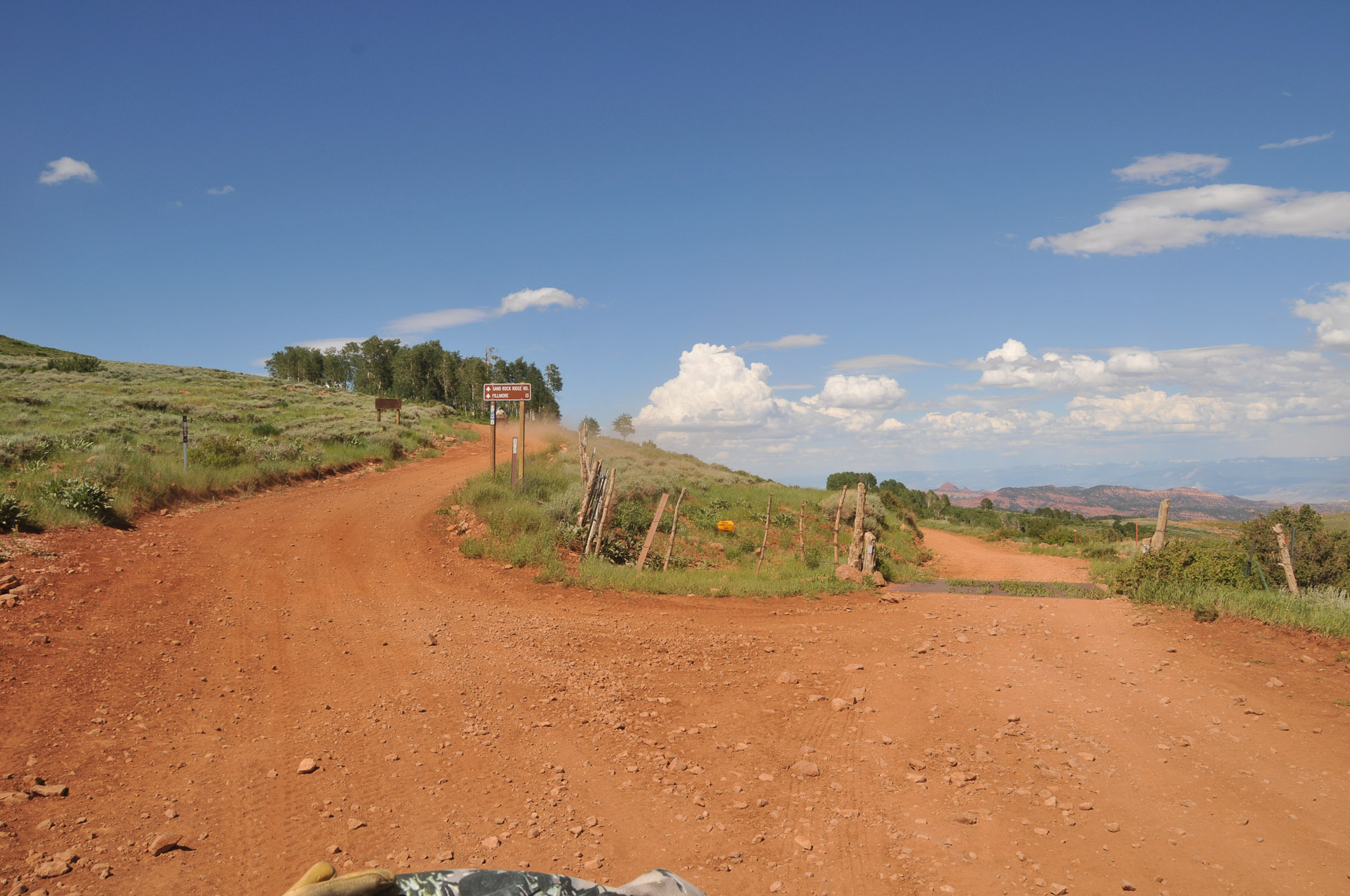
Sand Rock Ridge turn off to Fillmore Utah (left)

Camera Roll-1284
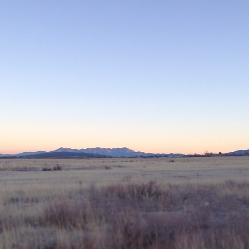
Good morning, Utah.
Filmore RV Ground

Piute 01 ATV Trail

Camera Roll-1283
07-04-02 Exile Shoot [Day 4] 014

07-04-02 Exile Shoot [Day 4] 010

Other riders on the trail

Other riders on the trail

07-04-02 Exile Shoot [Day 4] 006

07-04-02 Exile Shoot [Day 4] 008

Mine Camp Peak - Tallest peak in Millard County

07-04-02 Exile Shoot [Day 4] 007
Topographic Map of West Center Street, W Center St, Fillmore, UT, USA
Find elevation by address:

Places near West Center Street, W Center St, Fillmore, UT, USA:
Fillmore
674 Ut-99
W S, Kanosh, UT, USA
Kanosh
1000 N Main St
Richfield
Pvxw+rv
W Center St, Scipio, UT, USA
55 N, Sigurd, UT, USA
Sigurd
UT-24, Sigurd, UT, USA
Sam Stowe Campground
Sevier
Jvph+xh
West Center Street
23 E S, Monroe, UT, USA
Monroe
Aurora
105 S 200 E
447 E 800 S
Recent Searches:
- Elevation map of Litang County, Sichuan, China
- Elevation map of Madoi County, Qinghai, China
- Elevation of 3314, Ohio State Route 114, Payne, Paulding County, Ohio, 45880, USA
- Elevation of Sarahills Drive, Saratoga, Santa Clara County, California, 95070, USA
- Elevation of Town of Bombay, Franklin County, New York, USA
- Elevation of 9, Convent Lane, Center Moriches, Suffolk County, New York, 11934, USA
- Elevation of Saint Angelas Convent, 9, Convent Lane, Center Moriches, Suffolk County, New York, 11934, USA
- Elevation of 131st Street Southwest, Mukilteo, Snohomish County, Washington, 98275, USA
- Elevation of 304, Harrison Road, Naples, Cumberland County, Maine, 04055, USA
- Elevation of 2362, Timber Ridge Road, Harrisburg, Cabarrus County, North Carolina, 28075, USA
- Elevation of Ridge Road, Marshalltown, Marshall County, Iowa, 50158, USA
- Elevation of 2459, Misty Shadows Drive, Pigeon Forge, Sevier County, Tennessee, 37862, USA
- Elevation of 8043, Brightwater Way, Spring Hill, Williamson County, Tennessee, 37179, USA
- Elevation of Starkweather Road, San Luis, Costilla County, Colorado, 81152, USA
- Elevation of 5277, Woodside Drive, Baton Rouge, East Baton Rouge Parish, Louisiana, 70808, USA
- Elevation of 1139, Curtin Street, Shepherd Park Plaza, Houston, Harris County, Texas, 77018, USA
- Elevation of 136, Sellers Lane, Repton, Monroe County, Alabama, 36475, USA
- Elevation of 12914, Elmington Drive, Lakewood Forest, Houston, Harris County, Texas, 77429, USA
- Elevation of 417, Camelot Drive, Statesville, Iredell County, North Carolina, 28625, USA
- Elevation of 5792, Wildridge Road, Avon, Eagle County, Colorado, 81620, USA