Elevation of W S, Kanosh, UT, USA
Location: United States > Utah > Millard County > Kanosh >
Longitude: -112.45454
Latitude: 38.844305
Elevation: 1467m / 4813feet
Barometric Pressure: 85KPa
Elevation Map:
Satellite Map:
Related Photos:
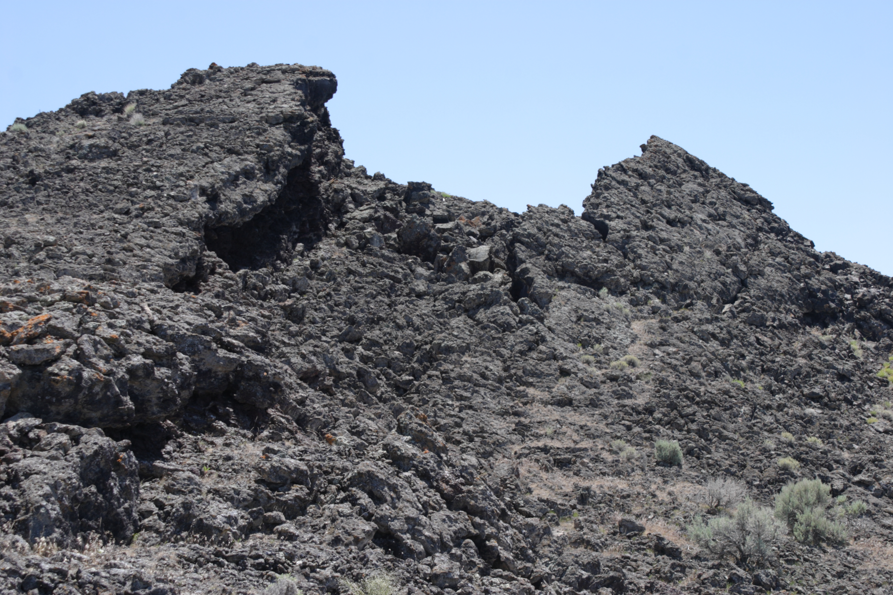
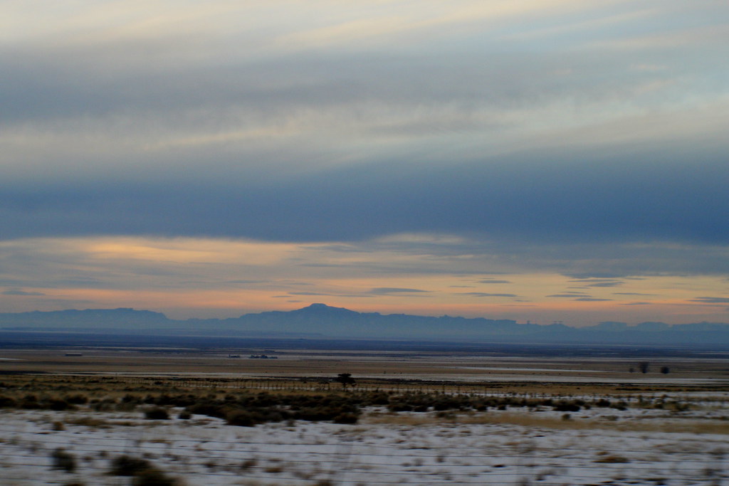
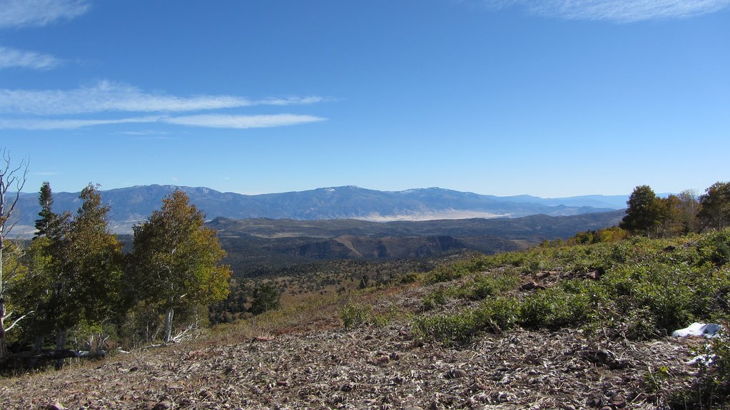
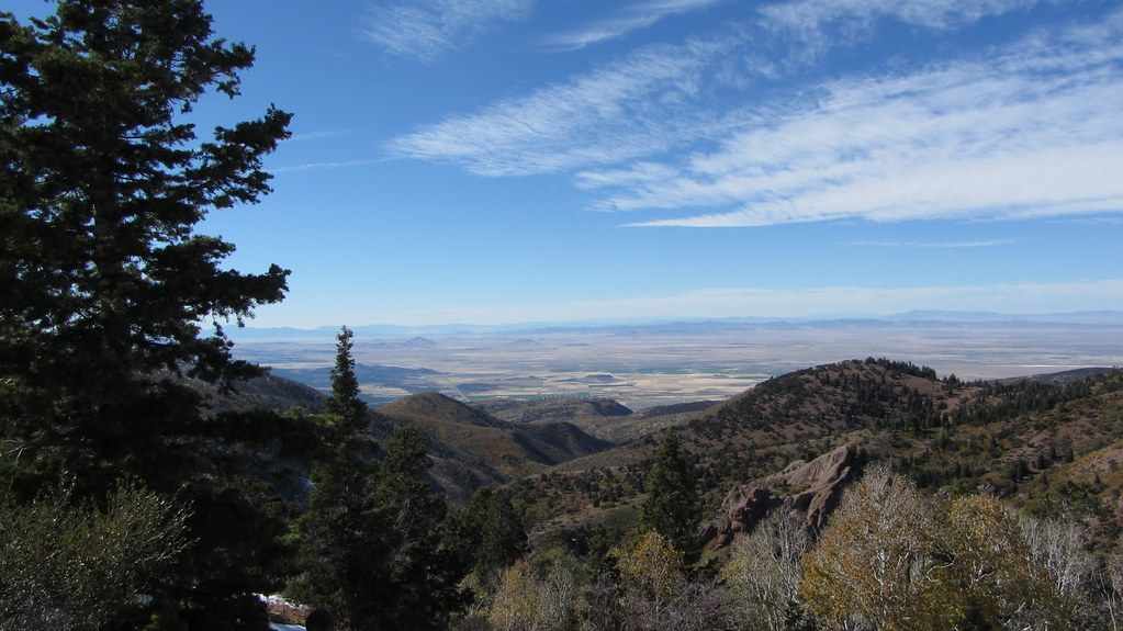
View of the highest peak
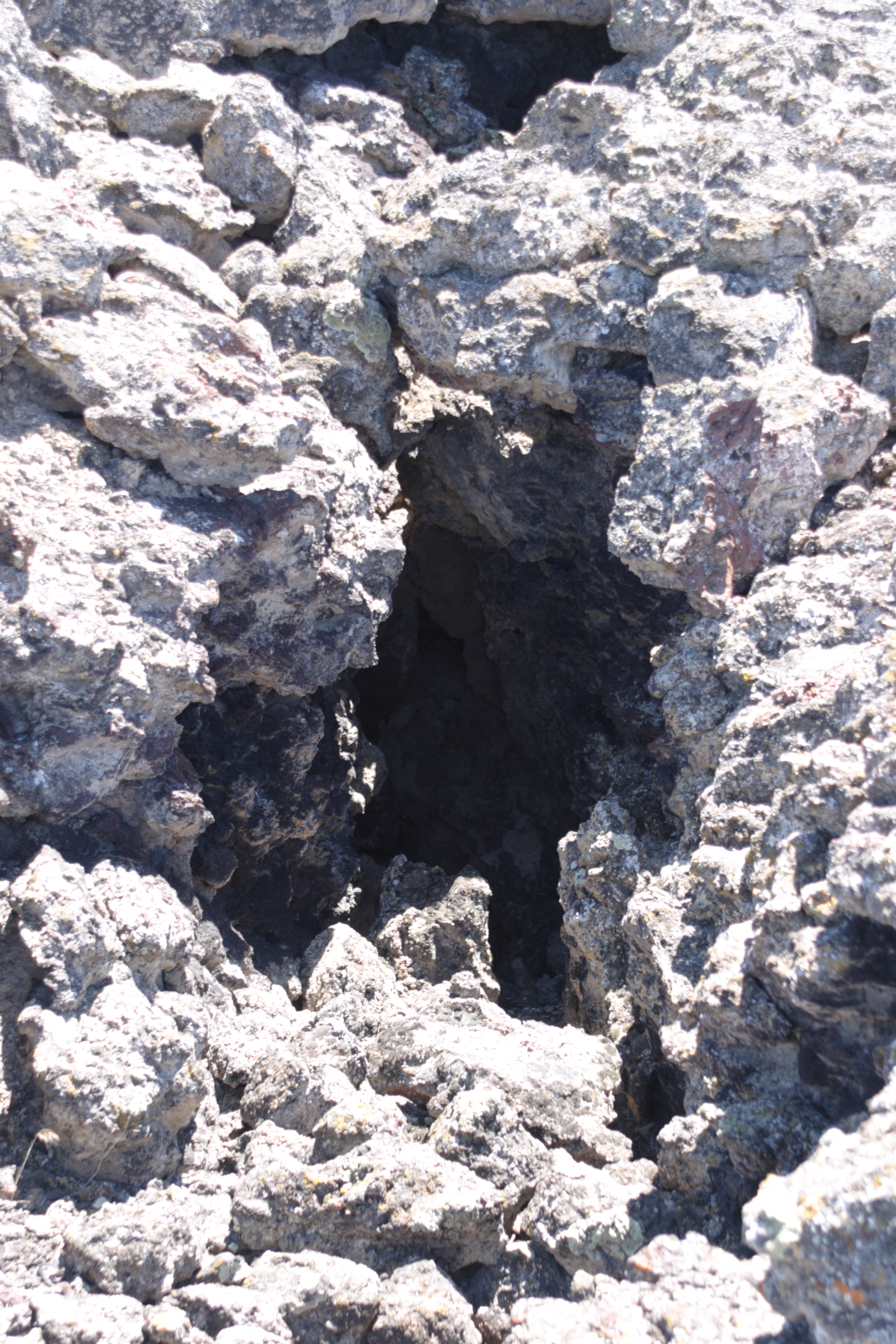
Lava tube view hole
#roadtripvibes
Happy New Year - Going Home
Happy New Year - Going Home
Utah-Roadside stuff.

Divided Highway

Filmore RV Ground
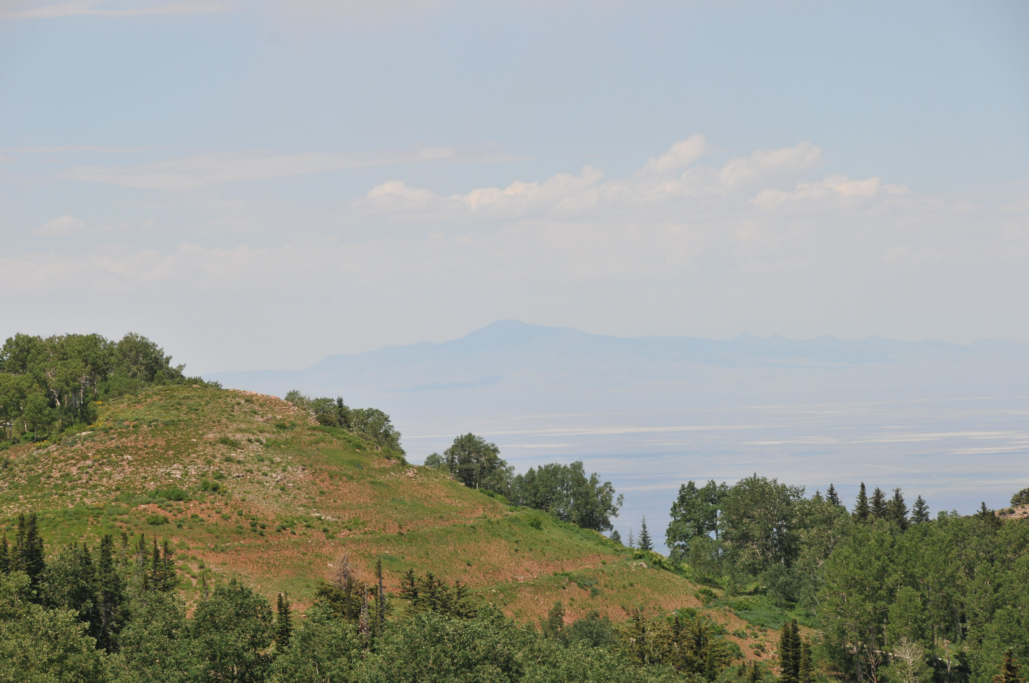
Swazy Peak

Entering Utah
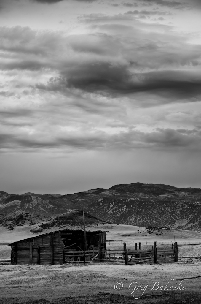
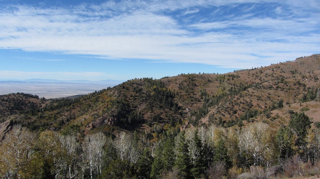
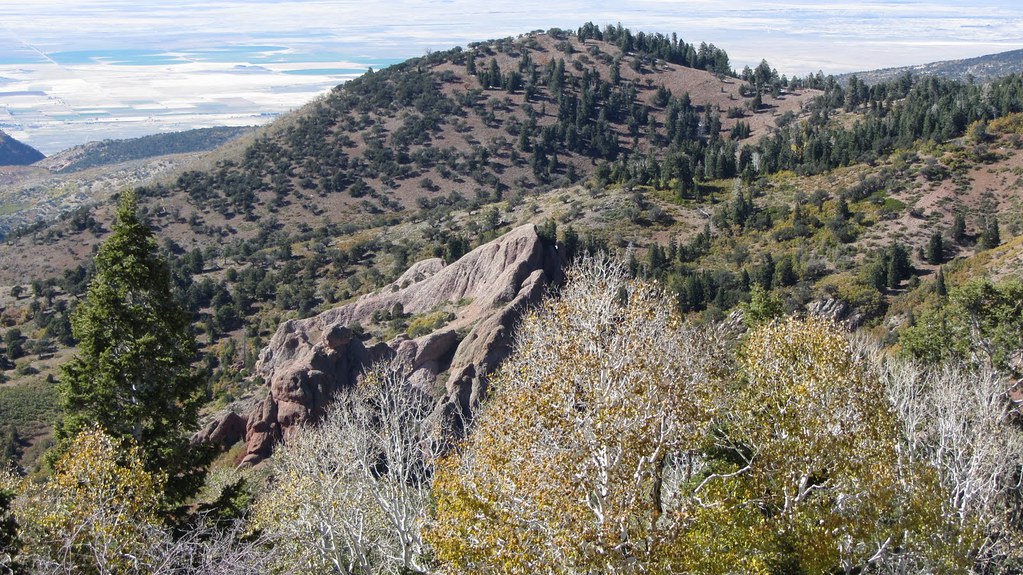
Back side of Devils Armchair
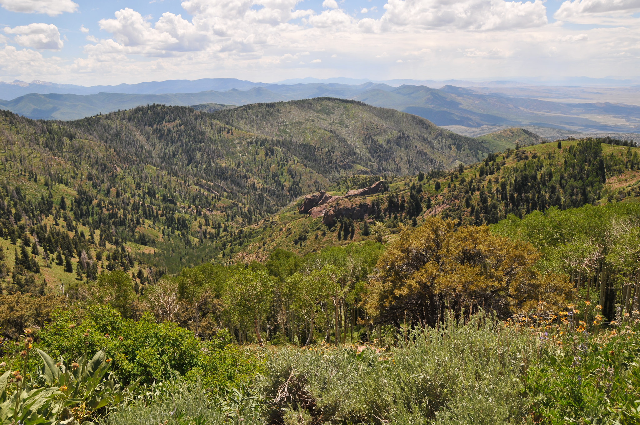
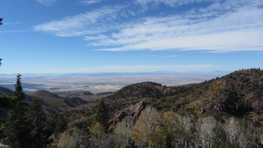
South of Devils Armchair
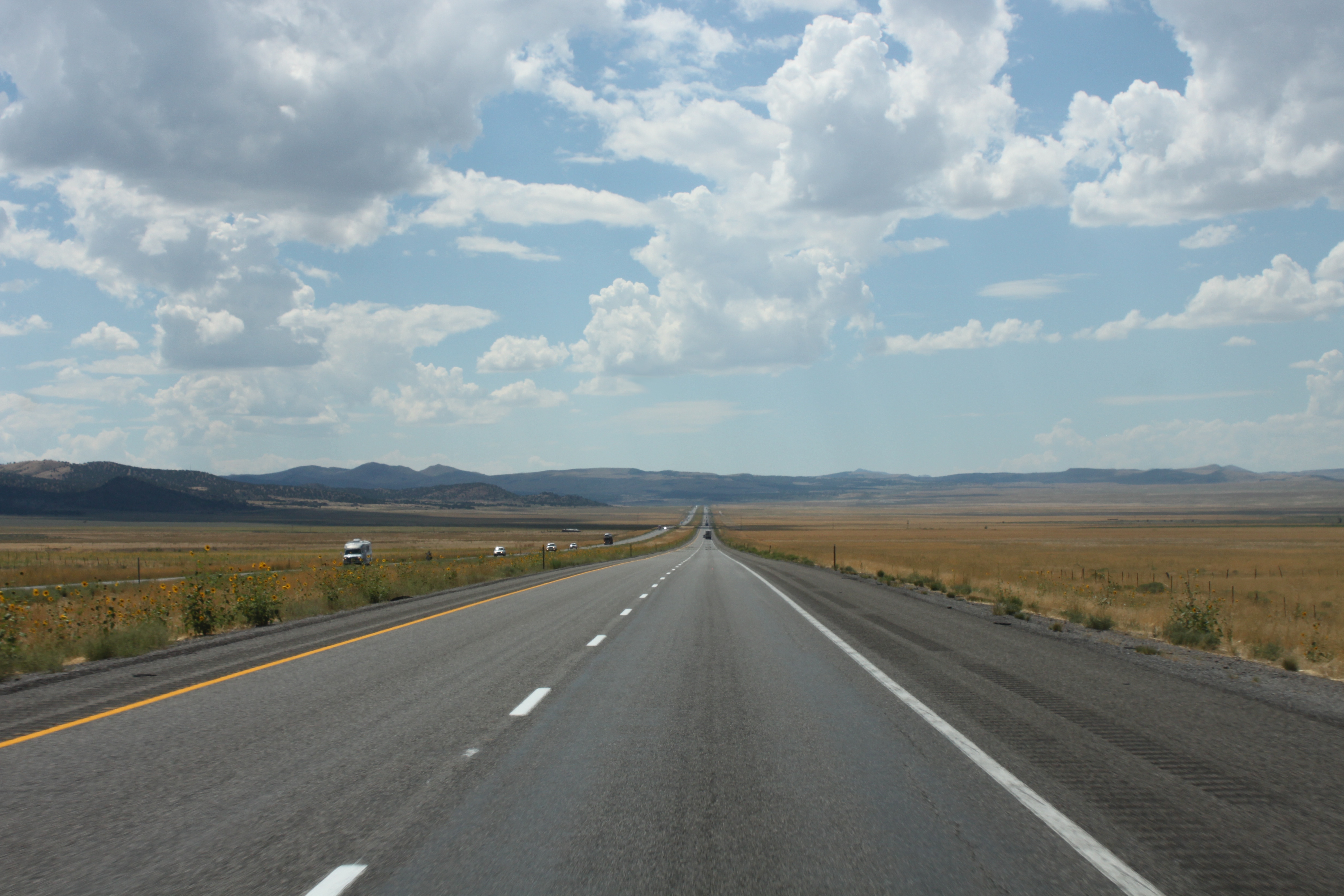
Interstate 15
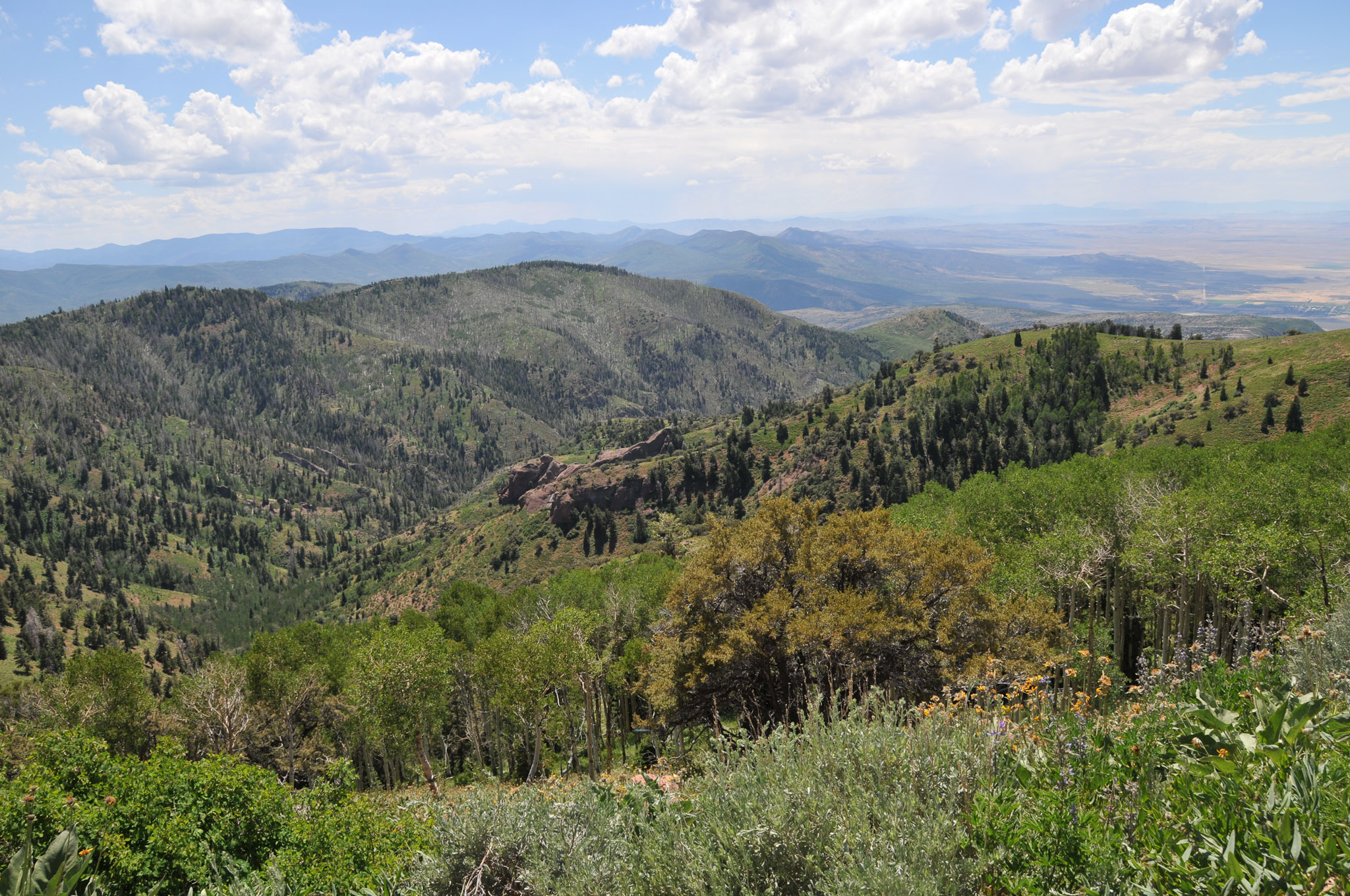
Back side of Devils Armchair
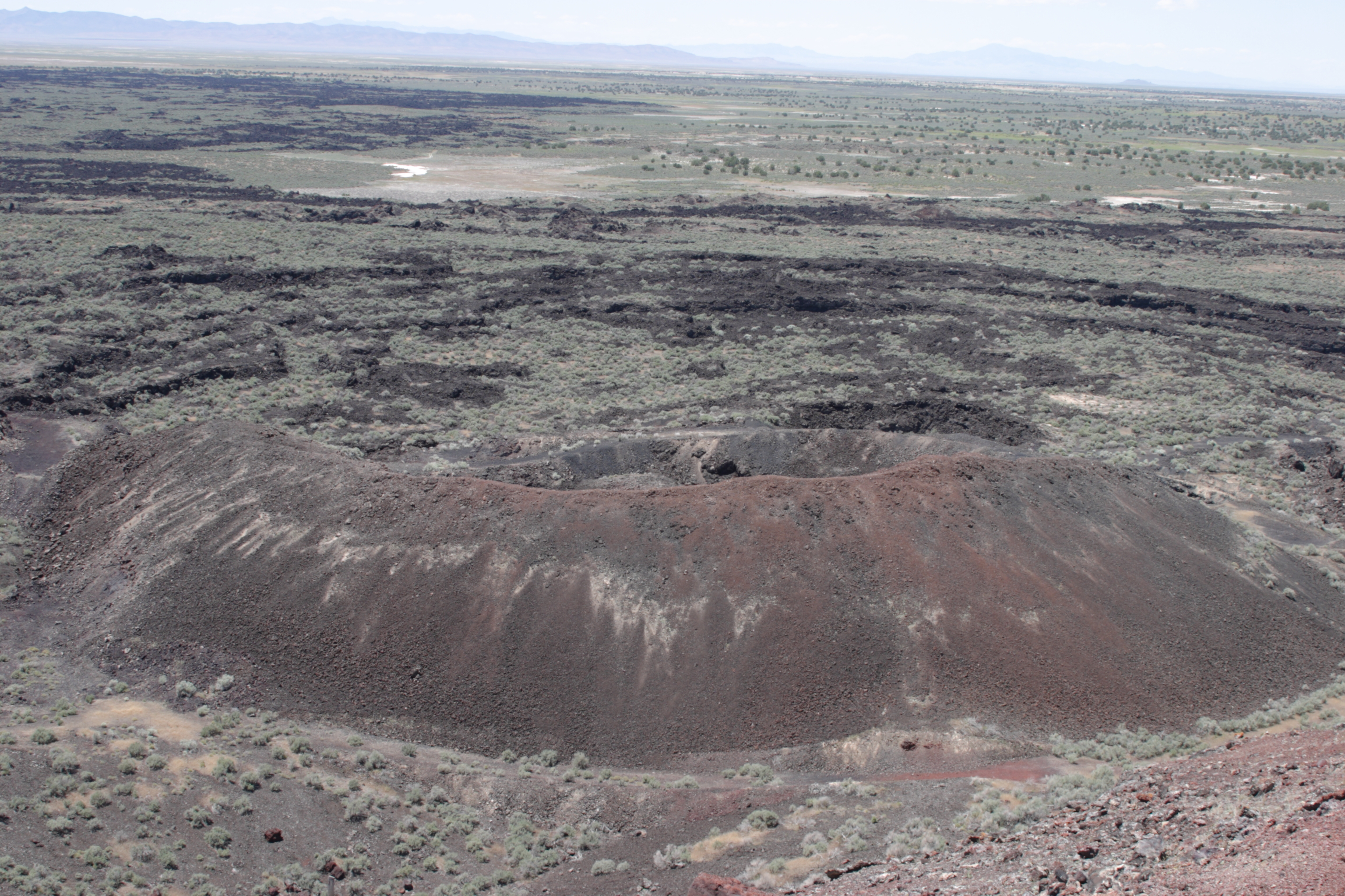
Red Dome Volcanoes, Flowell, Utah
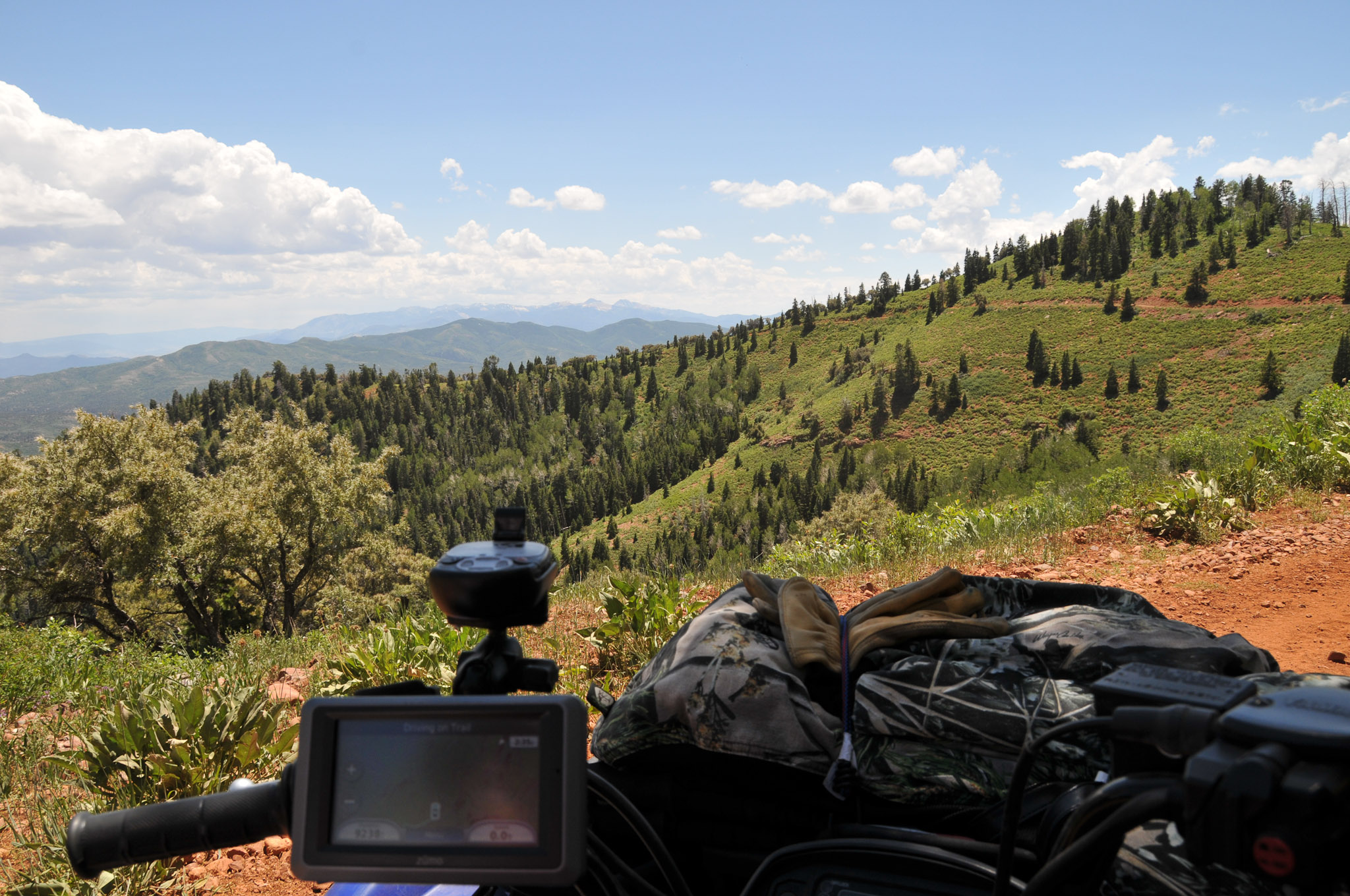
ATV rides (95)
ATV rides (93)
ATV rides (92)
ATV rides (91)
ATV rides (89)
Topographic Map of W S, Kanosh, UT, USA
Find elevation by address:

Places near W S, Kanosh, UT, USA:
Kanosh
674 Ut-99
Fillmore
West Center Street
Sam Stowe Campground
Castle Rock Campground
Sevier
Pvxw+rv
1000 N Main St
Richfield
West Center Street
Jvph+xh
23 E S, Monroe, UT, USA
Monroe
105 S 200 E
447 E 800 S
Marysvale
Sigurd
55 N, Sigurd, UT, USA
UT-24, Sigurd, UT, USA
Recent Searches:
- Elevation of Corso Fratelli Cairoli, 35, Macerata MC, Italy
- Elevation of Tallevast Rd, Sarasota, FL, USA
- Elevation of 4th St E, Sonoma, CA, USA
- Elevation of Black Hollow Rd, Pennsdale, PA, USA
- Elevation of Oakland Ave, Williamsport, PA, USA
- Elevation of Pedrógão Grande, Portugal
- Elevation of Klee Dr, Martinsburg, WV, USA
- Elevation of Via Roma, Pieranica CR, Italy
- Elevation of Tavkvetili Mountain, Georgia
- Elevation of Hartfords Bluff Cir, Mt Pleasant, SC, USA