Elevation of Richfield, UT, USA
Location: United States > Utah > Sevier County >
Longitude: -112.08409
Latitude: 38.7724673
Elevation: 1632m / 5354feet
Barometric Pressure: 83KPa
Elevation Map:
Satellite Map:
Related Photos:
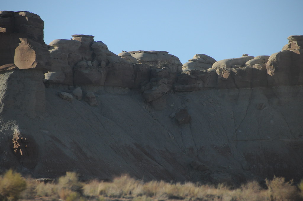
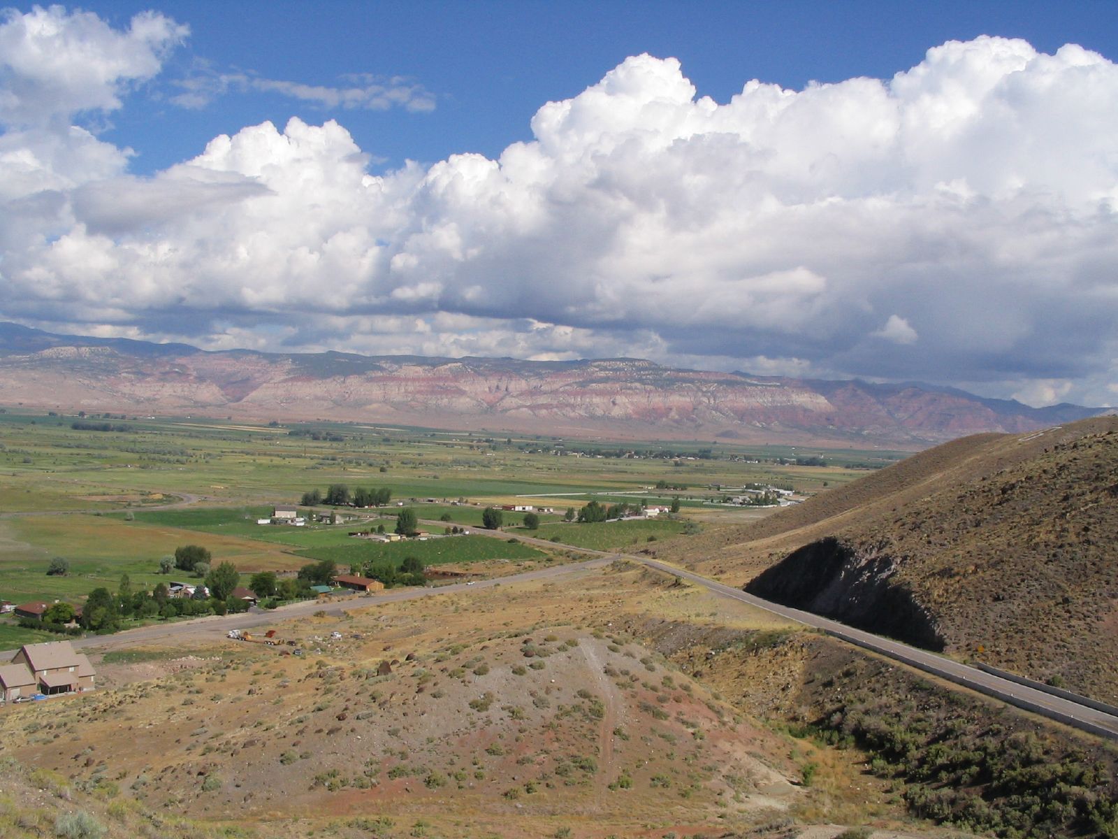
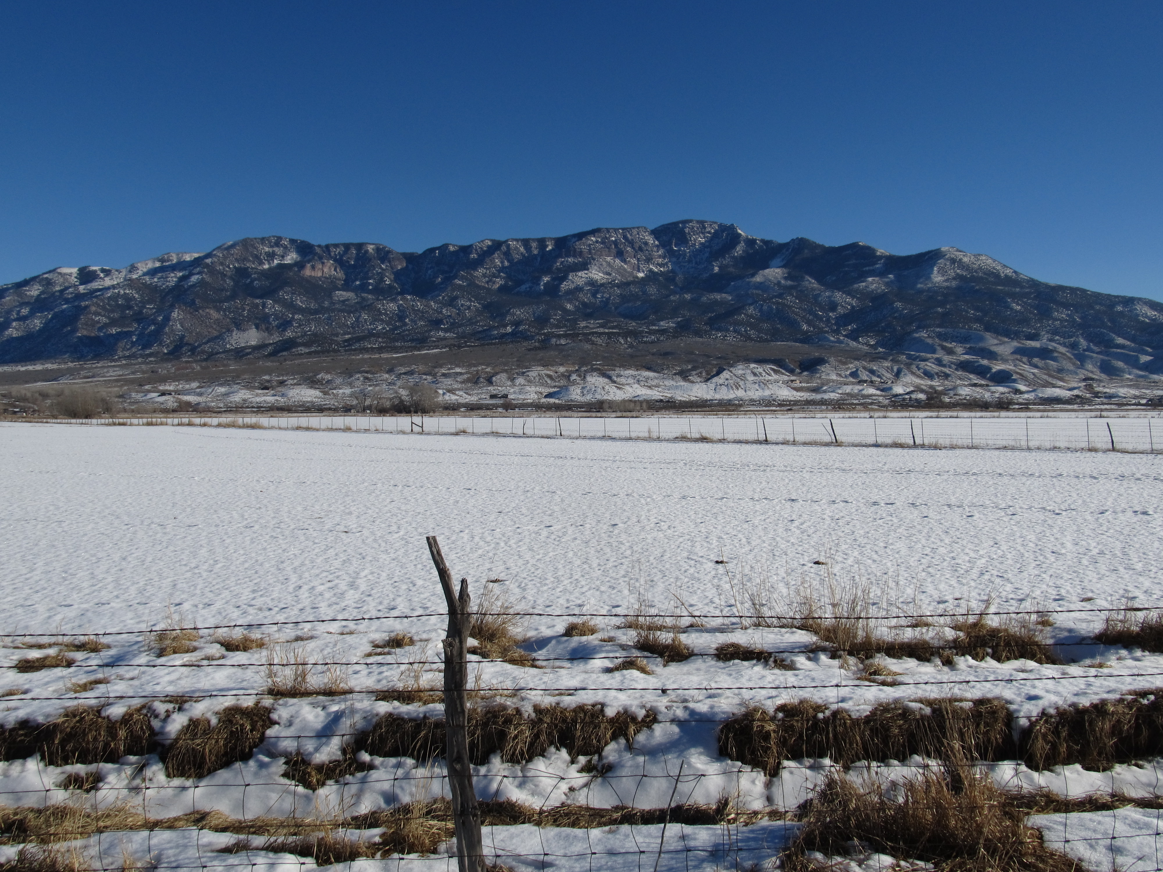
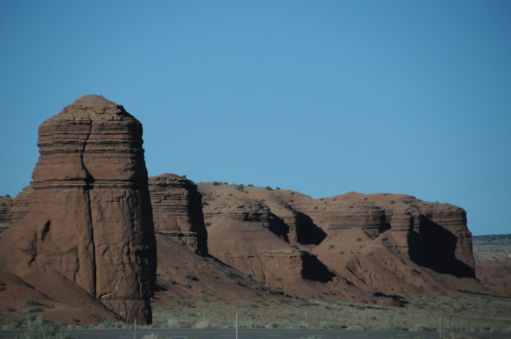
Central Utah

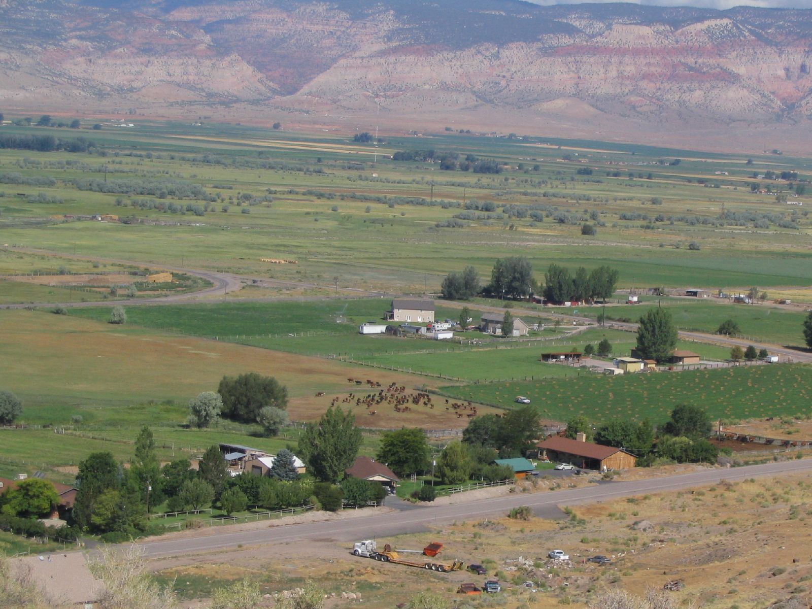
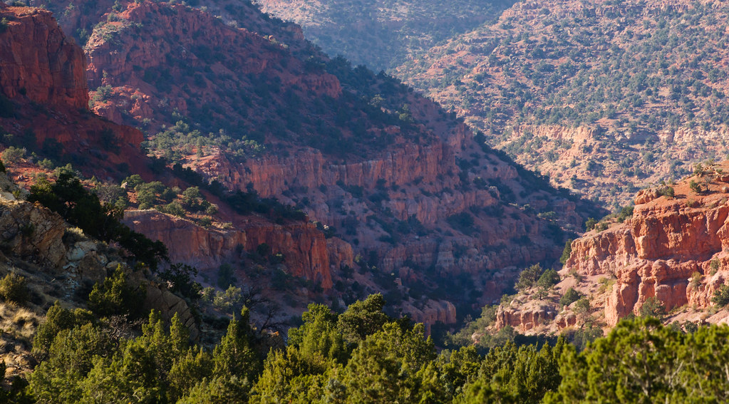
Views of Sevier Valley from Utah State Route 119 Near Glenwood, Utah
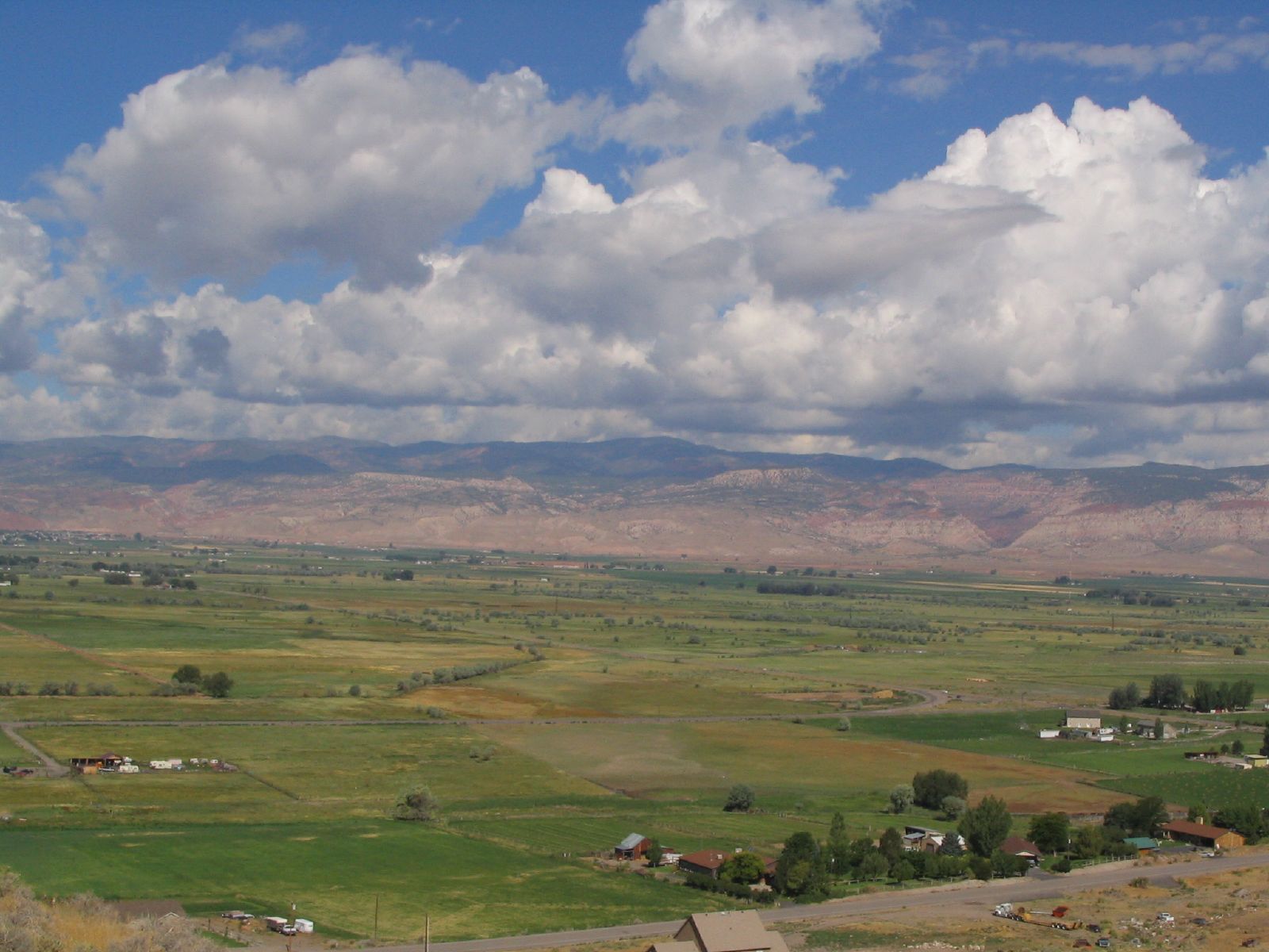
Views of Sevier Valley from Utah State Route 119 Near Glenwood, Utah
Central Utah

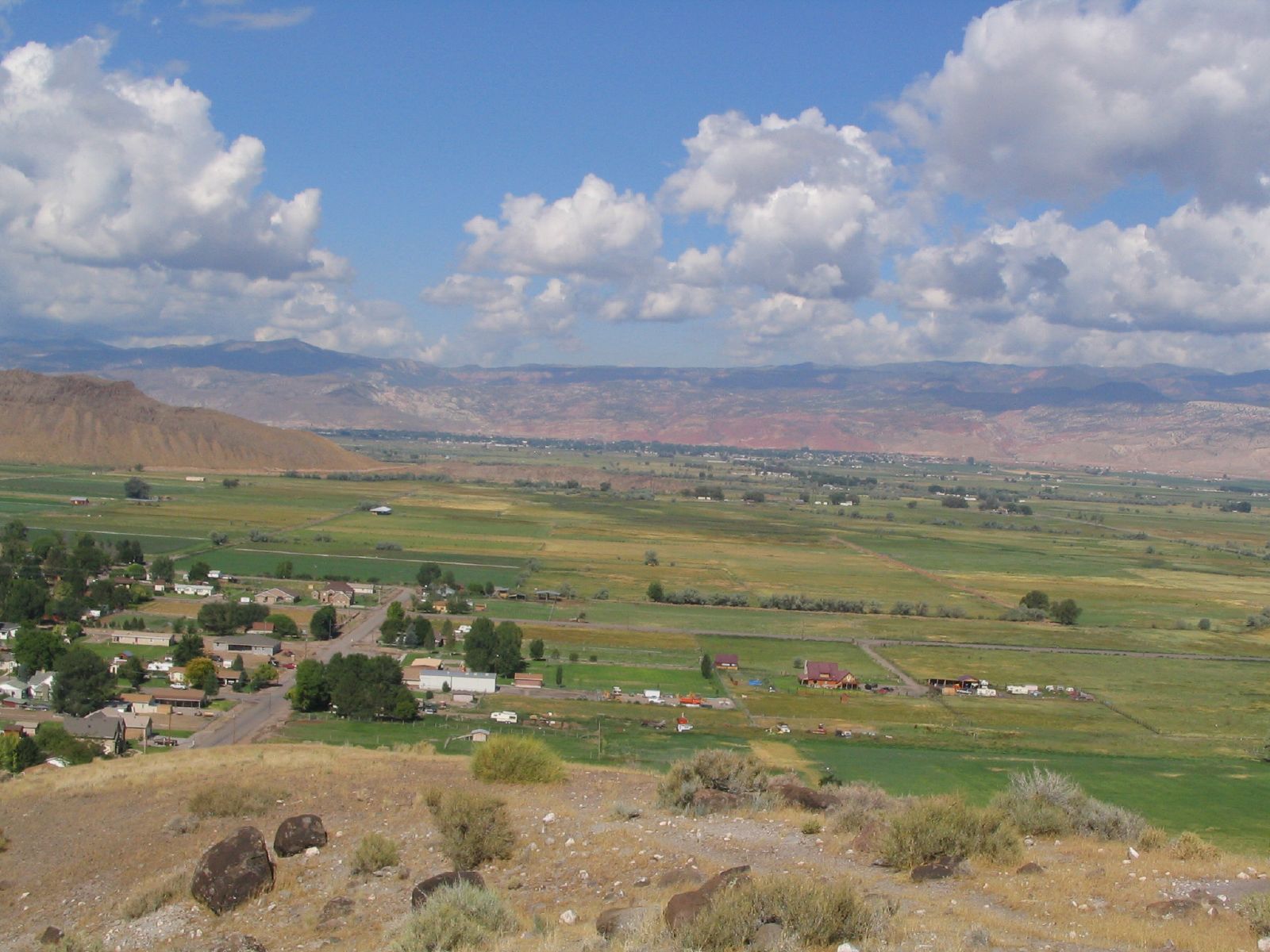
Views of Sevier Valley from Utah State Route 119 Near Glenwood, Utah
Views of Sevier Valley from Utah State Route 119 Near Glenwood, Utah
Views of Sevier Valley from Utah State Route 119 Near Glenwood, Utah
Views of Glenwood, Utah from Utah State Route 119

Views of Sevier Valley from Utah State Route 119 Near Glenwood, Utah
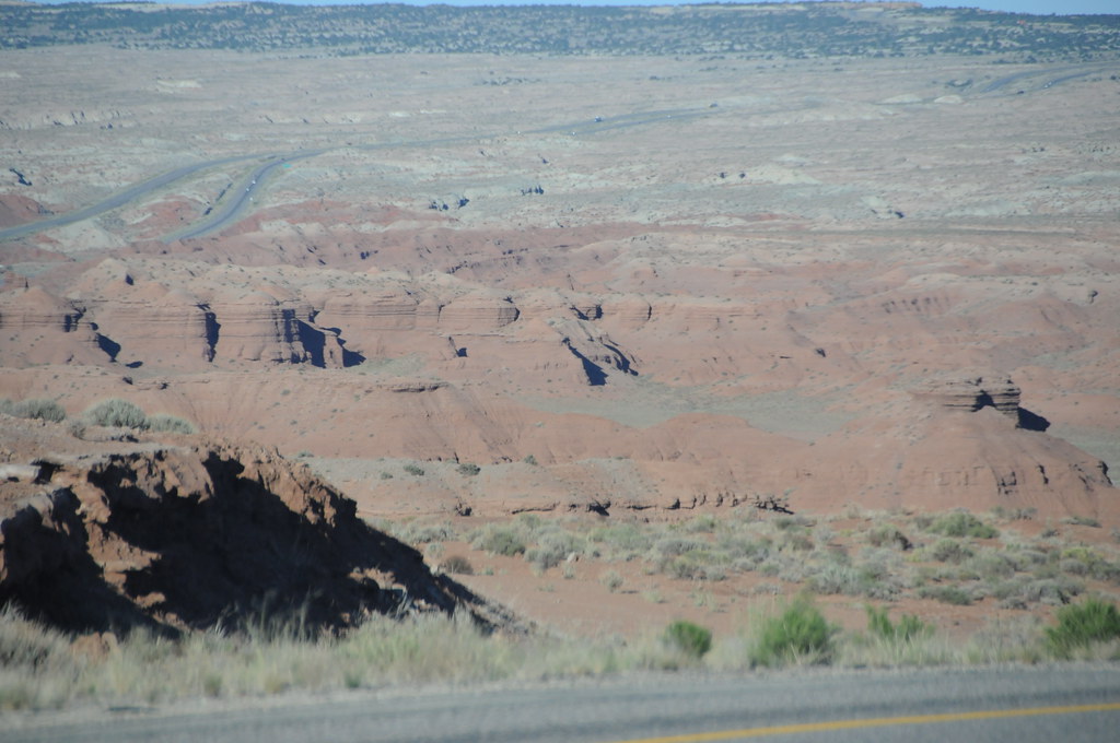
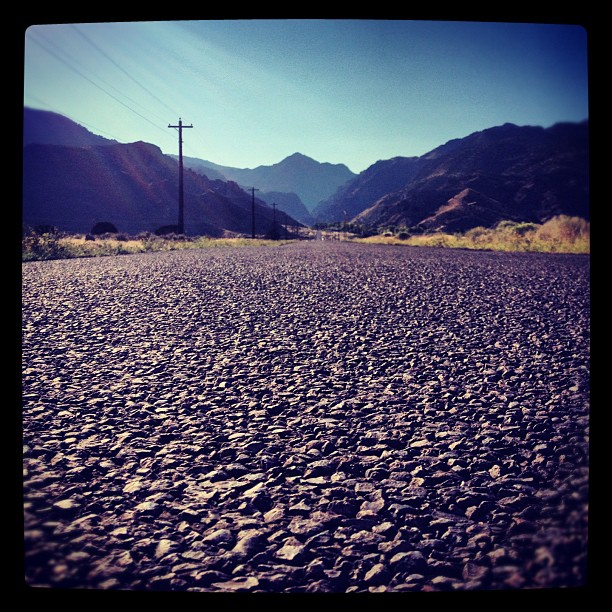
I-70 Utah

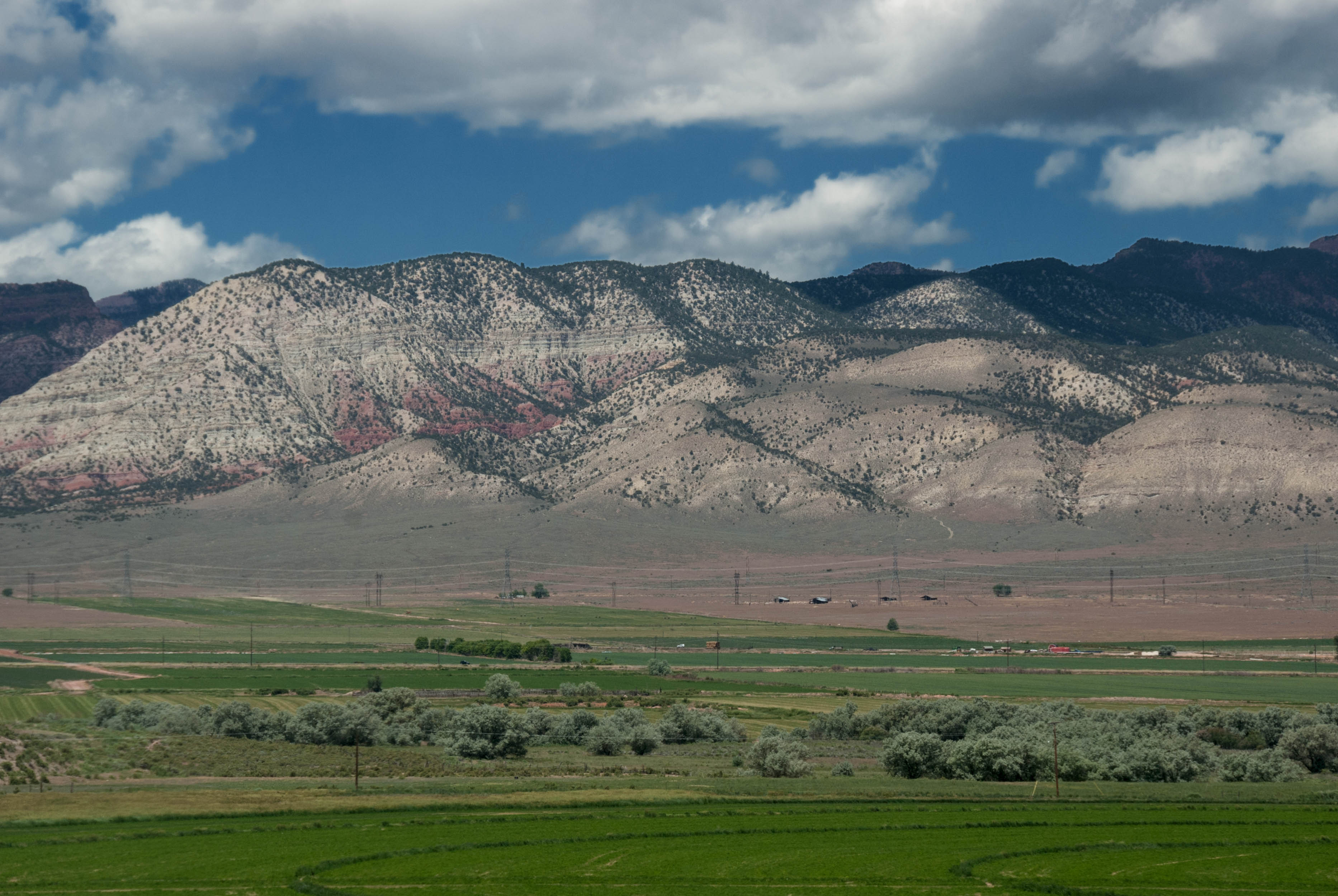
Central Utah

Central Utah

Junk View

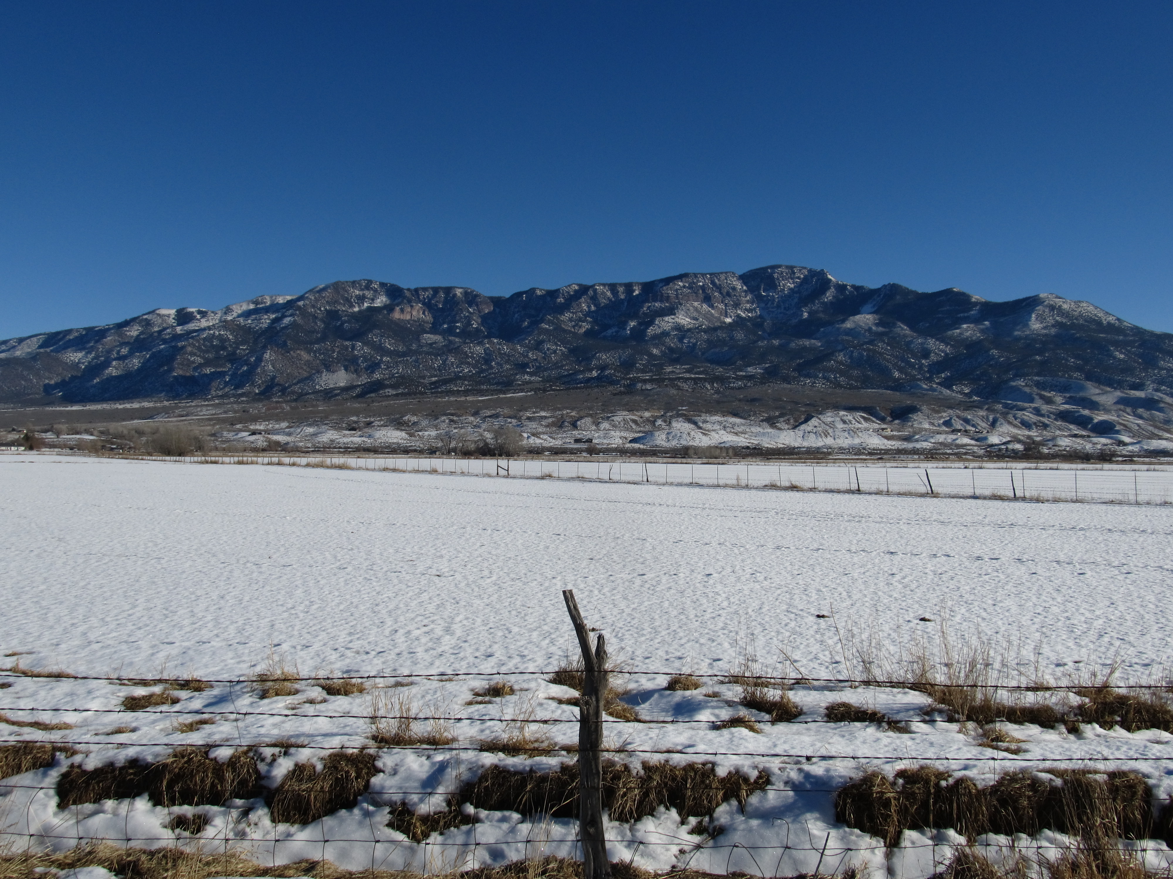
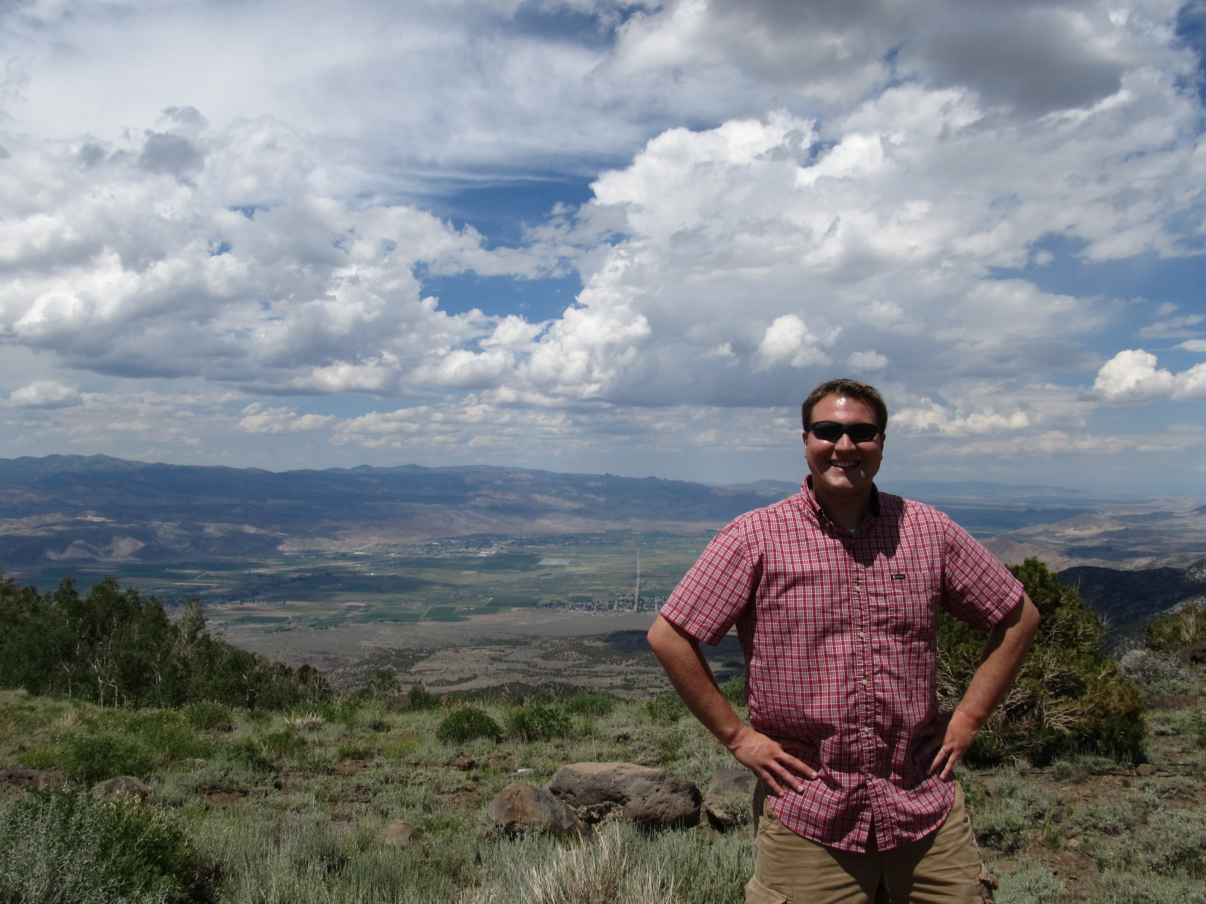
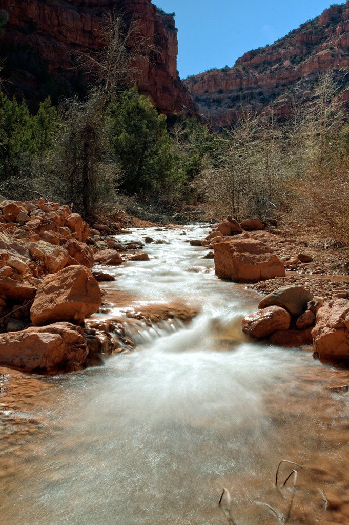
View of Monroe Mountain, Central Valley, Utah
View of Cove Mountain, Central Valley, Utah
View of Cove Mountain, Central Valley, Utah
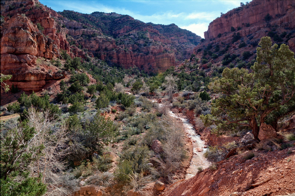
Ken, Hike Between Cove Mountain and Hand Fork Canyon, Near Monroe, Utah
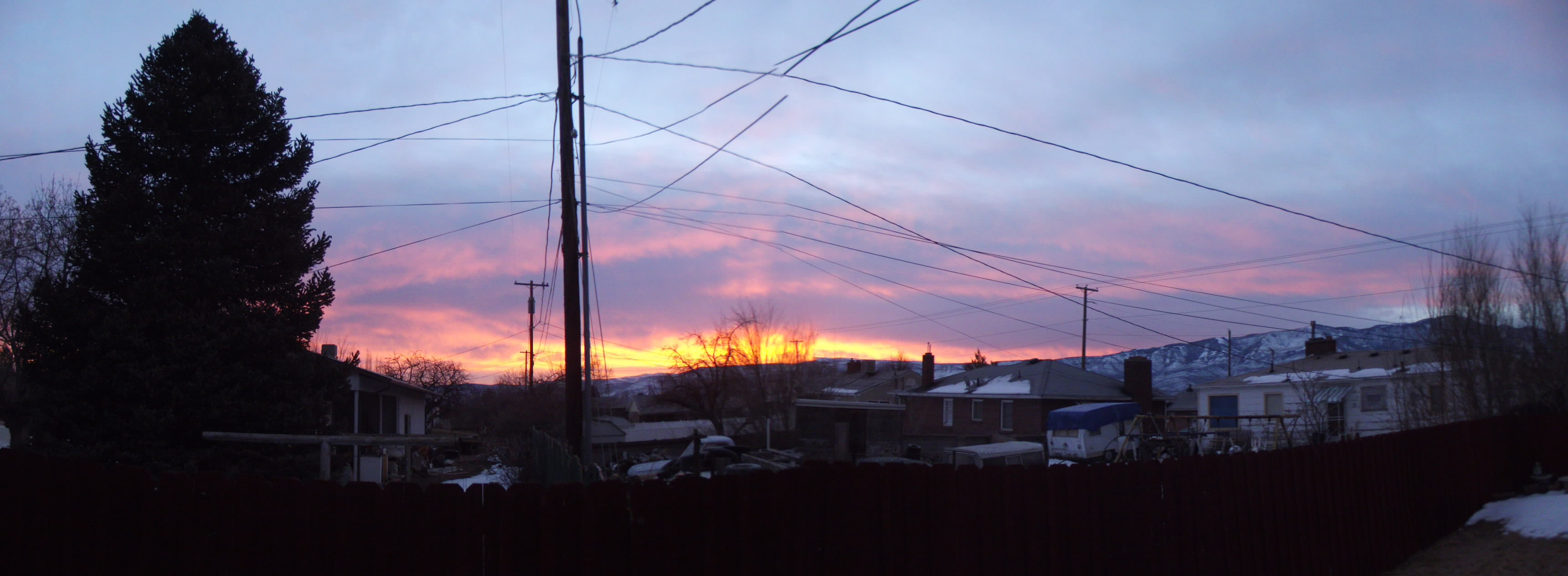
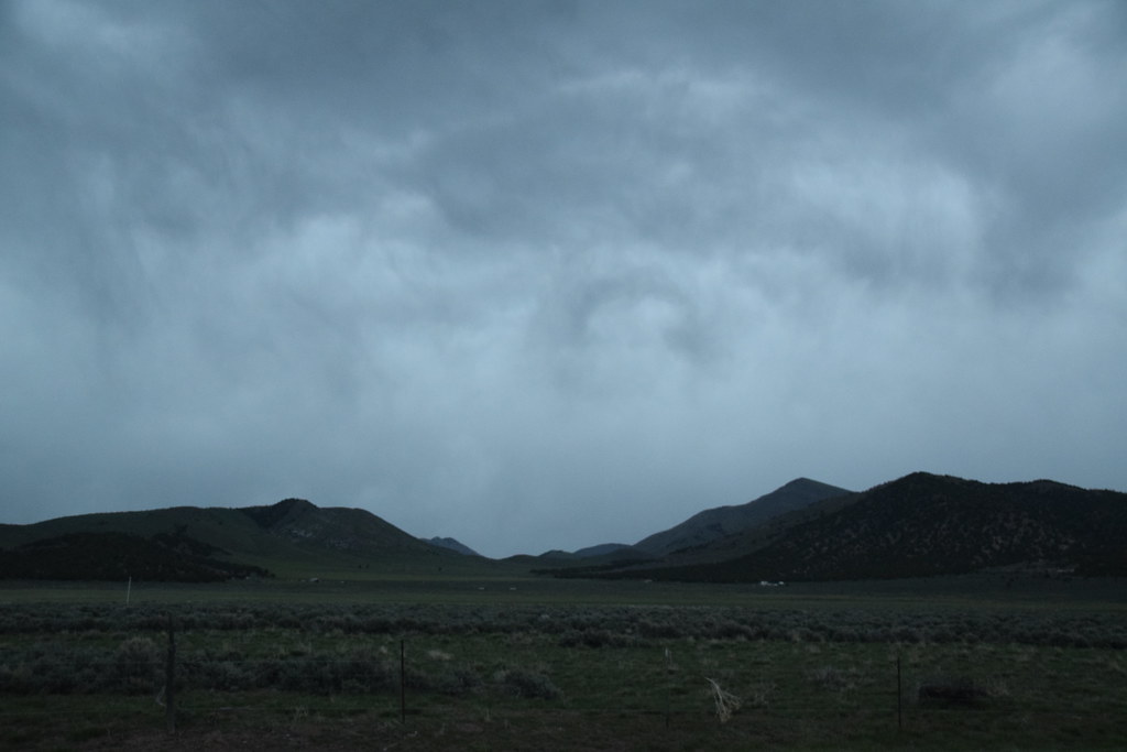
Panaramic sunrise
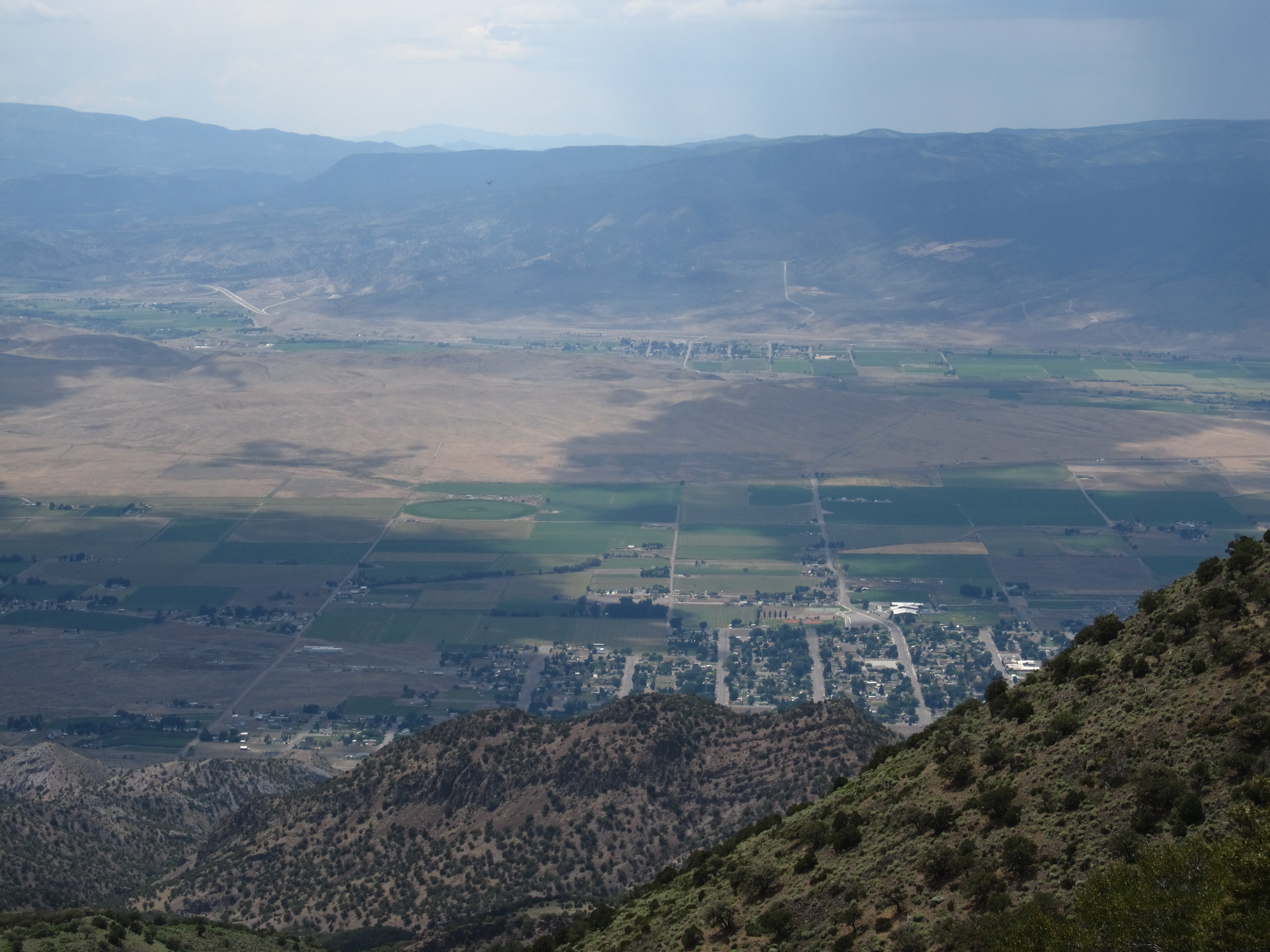
View of Monroe, Utah, Hike Between Cove Mountain and Left Hand Fork Canyon, Near Monroe, Utah

Central Utah
Central Utah
104/365
113/365
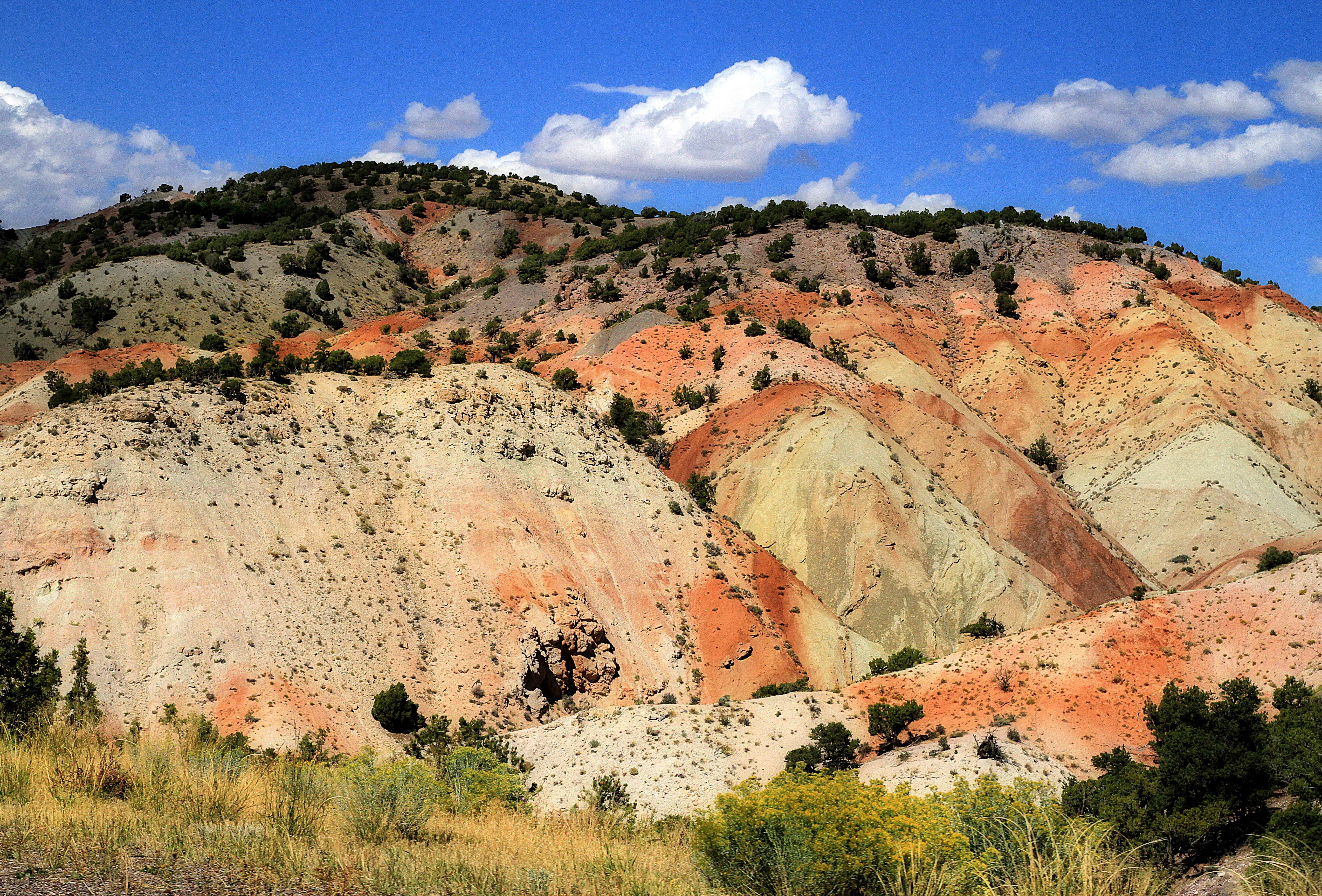
Rainbow Hills

Rust colored earth
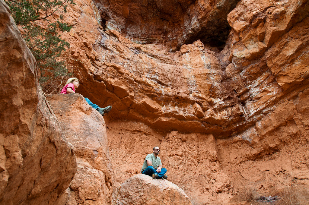
Yesterday's hiking location...
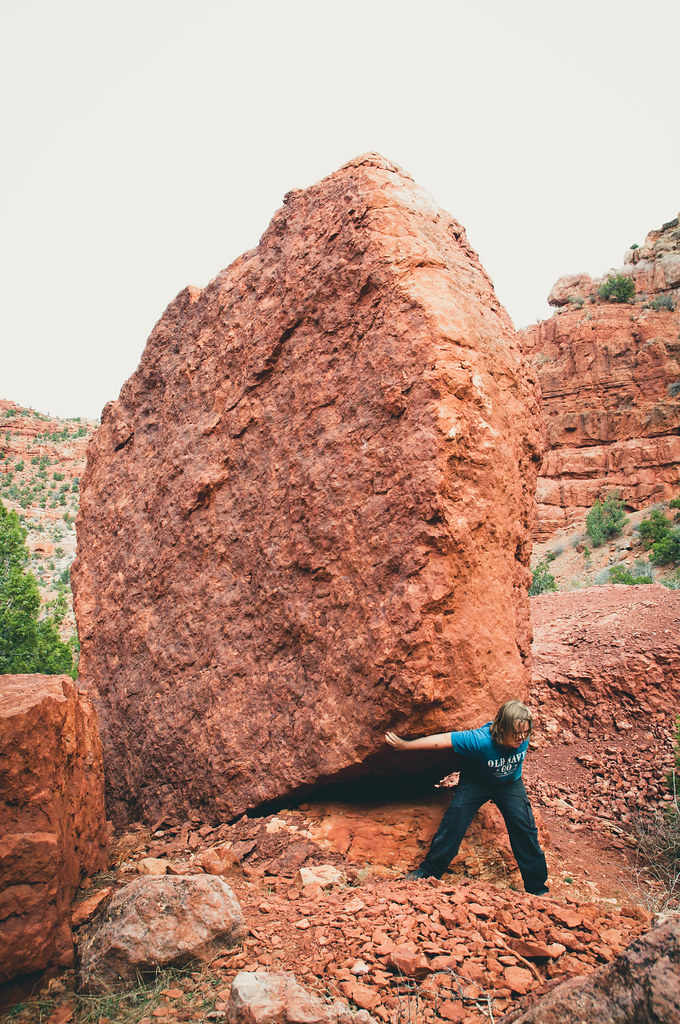
Putting the boys to work...
The road less traveled. (taken on my morning run)
20160424 192217 1S
A few more shots from our hike... :)

glenwood232with color
Topographic Map of Richfield, UT, USA
Find elevation by address:

Places in Richfield, UT, USA:
Places near Richfield, UT, USA:
1000 N Main St
Pvxw+rv
Sigurd
UT-24, Sigurd, UT, USA
Jvph+xh
55 N, Sigurd, UT, USA
105 S 200 E
West Center Street
23 E S, Monroe, UT, USA
Monroe
447 E 800 S
Aurora
Sevier
Salina
Sam Stowe Campground
674 Ut-99
West Center Street
Fillmore
Sorenson's Ranch School
Koosharem
Recent Searches:
- Elevation of Corso Fratelli Cairoli, 35, Macerata MC, Italy
- Elevation of Tallevast Rd, Sarasota, FL, USA
- Elevation of 4th St E, Sonoma, CA, USA
- Elevation of Black Hollow Rd, Pennsdale, PA, USA
- Elevation of Oakland Ave, Williamsport, PA, USA
- Elevation of Pedrógão Grande, Portugal
- Elevation of Klee Dr, Martinsburg, WV, USA
- Elevation of Via Roma, Pieranica CR, Italy
- Elevation of Tavkvetili Mountain, Georgia
- Elevation of Hartfords Bluff Cir, Mt Pleasant, SC, USA