Elevation of Sam Stowe Campground, Sam Stowe Canyon Rd, Sevier, UT, USA
Location: United States > Utah > Sevier County > Sevier >
Longitude: -112.32093
Latitude: 38.5809995
Elevation: 1778m / 5833feet
Barometric Pressure: 82KPa
Elevation Map:
Satellite Map:
Related Photos:

Middle of Nowhere, Utah

Five Finger Ridge

70 views

70 views

70 views

70 views

70 views

70 views

70 views

70 views

70 views

70 views

70 views
70 views
SAN-NYC (42)
SAN-NYC (43)

Big Rock Candy Mountain

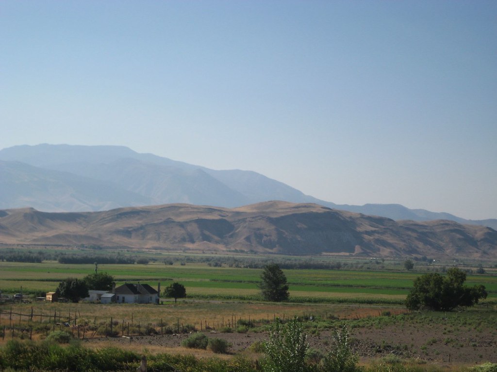
Fremont Indian State Park, Sevier, Utah

Monroe Peak - Utah

Fall in Utah

Big Rock Candy Mountain

Big Rock Candy Mountain

Along the Sevier River

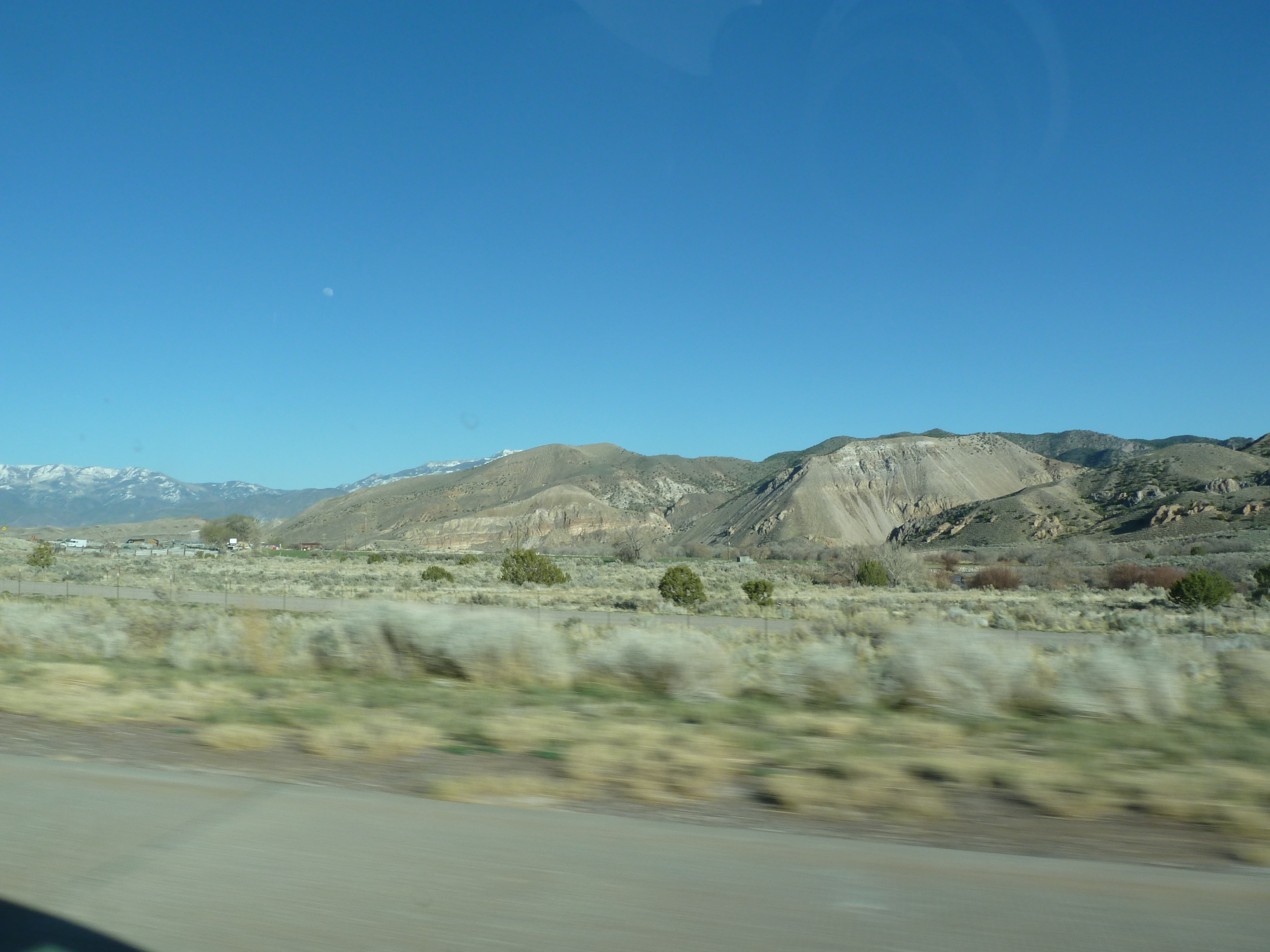
Interstate 70, Utah Between Richfield and Cove Fort, Utah

Clear Creek Canyon

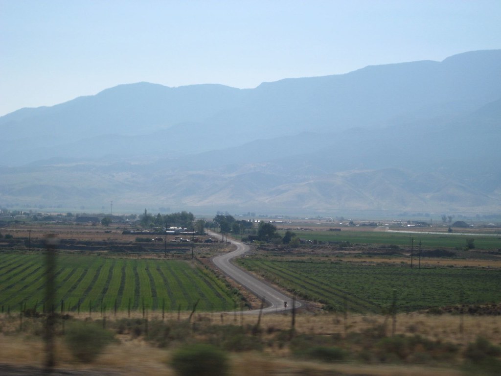
U.S. Route 89 Between Sevier, Utah and Marysvale, Utah

I-70 Approaching Fremont Indian State Park

Fremont Indian State Park, I-70, Utah (2)

Cooling Joints in Tuff

U.S. Route 89 Between Sevier, Utah and Marysvale, Utah

Fremont Indian State Park, I-70, Utah (3)

U.S. Route 89 Near Interstate 70, Utah
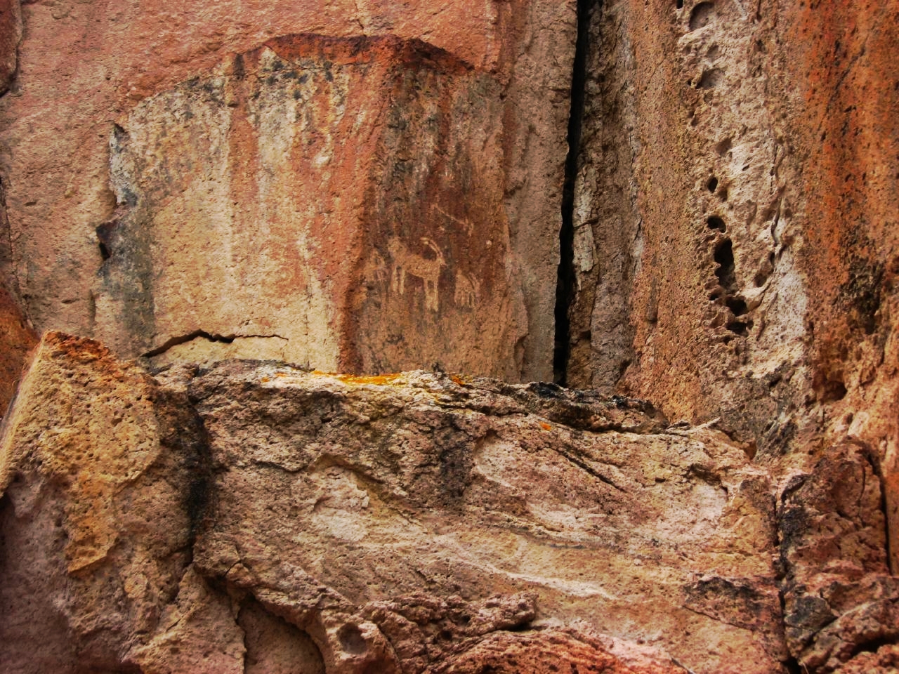
Petroglyphs, Fremont Indian State Park, Utah

Fremont Indian State Park, Utah

Petroglyphs and Pictographs, Fremont Indian State Park, Utah

Meadow off of Interstate 70 Between Cove Fort and Joseph, Utah

Fremont Indian State Park, I-70, Utah
Topographic Map of Sam Stowe Campground, Sam Stowe Canyon Rd, Sevier, UT, USA
Find elevation by address:

Places near Sam Stowe Campground, Sam Stowe Canyon Rd, Sevier, UT, USA:
Castle Rock Campground
Sevier
Marysvale
West Center Street
Monroe
23 E S, Monroe, UT, USA
Jvph+xh
105 S 200 E
447 E 800 S
Kanosh
Pvxw+rv
W S, Kanosh, UT, USA
Richfield
1000 N Main St
Kents Lake Road
674 Ut-99
Fillmore
West Center Street
Koosharem Road
Sigurd
Recent Searches:
- Elevation of Corso Fratelli Cairoli, 35, Macerata MC, Italy
- Elevation of Tallevast Rd, Sarasota, FL, USA
- Elevation of 4th St E, Sonoma, CA, USA
- Elevation of Black Hollow Rd, Pennsdale, PA, USA
- Elevation of Oakland Ave, Williamsport, PA, USA
- Elevation of Pedrógão Grande, Portugal
- Elevation of Klee Dr, Martinsburg, WV, USA
- Elevation of Via Roma, Pieranica CR, Italy
- Elevation of Tavkvetili Mountain, Georgia
- Elevation of Hartfords Bluff Cir, Mt Pleasant, SC, USA