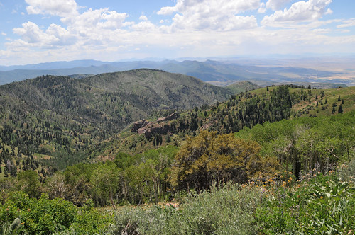
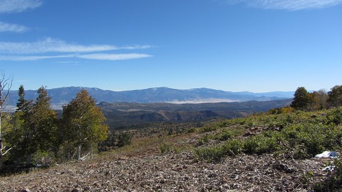
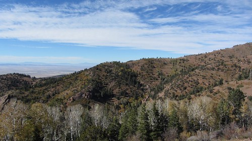
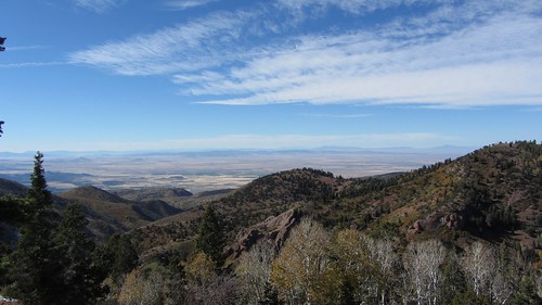
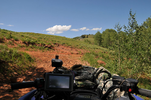
Elevation of Kanosh, UT, USA
Location: United States > Utah > Millard County >
Longitude: -112.43743
Latitude: 38.8013558
Elevation: 1530m / 5020feet
Barometric Pressure: 84KPa
Related Photos:
Topographic Map of Kanosh, UT, USA
Find elevation by address:

Places in Kanosh, UT, USA:
Places near Kanosh, UT, USA:
W S, Kanosh, UT, USA
674 Ut-99
Fillmore
West Center Street
Sam Stowe Campground
Castle Rock Campground
Sevier
Pvxw+rv
1000 N Main St
Richfield
West Center Street
Jvph+xh
23 E S, Monroe, UT, USA
Monroe
105 S 200 E
447 E 800 S
Marysvale
Sigurd
UT-24, Sigurd, UT, USA
55 N, Sigurd, UT, USA
Recent Searches:
- Elevation of Corso Fratelli Cairoli, 35, Macerata MC, Italy
- Elevation of Tallevast Rd, Sarasota, FL, USA
- Elevation of 4th St E, Sonoma, CA, USA
- Elevation of Black Hollow Rd, Pennsdale, PA, USA
- Elevation of Oakland Ave, Williamsport, PA, USA
- Elevation of Pedrógão Grande, Portugal
- Elevation of Klee Dr, Martinsburg, WV, USA
- Elevation of Via Roma, Pieranica CR, Italy
- Elevation of Tavkvetili Mountain, Georgia
- Elevation of Hartfords Bluff Cir, Mt Pleasant, SC, USA
