Elevation of PVXW+RV, Richfield, UT, USA
Location: United States > Utah > Sevier County > Richfield >
Longitude: -112.1028125
Latitude: 38.7495625
Elevation: 1622m / 5322feet
Barometric Pressure: 0KPa
Related Photos:

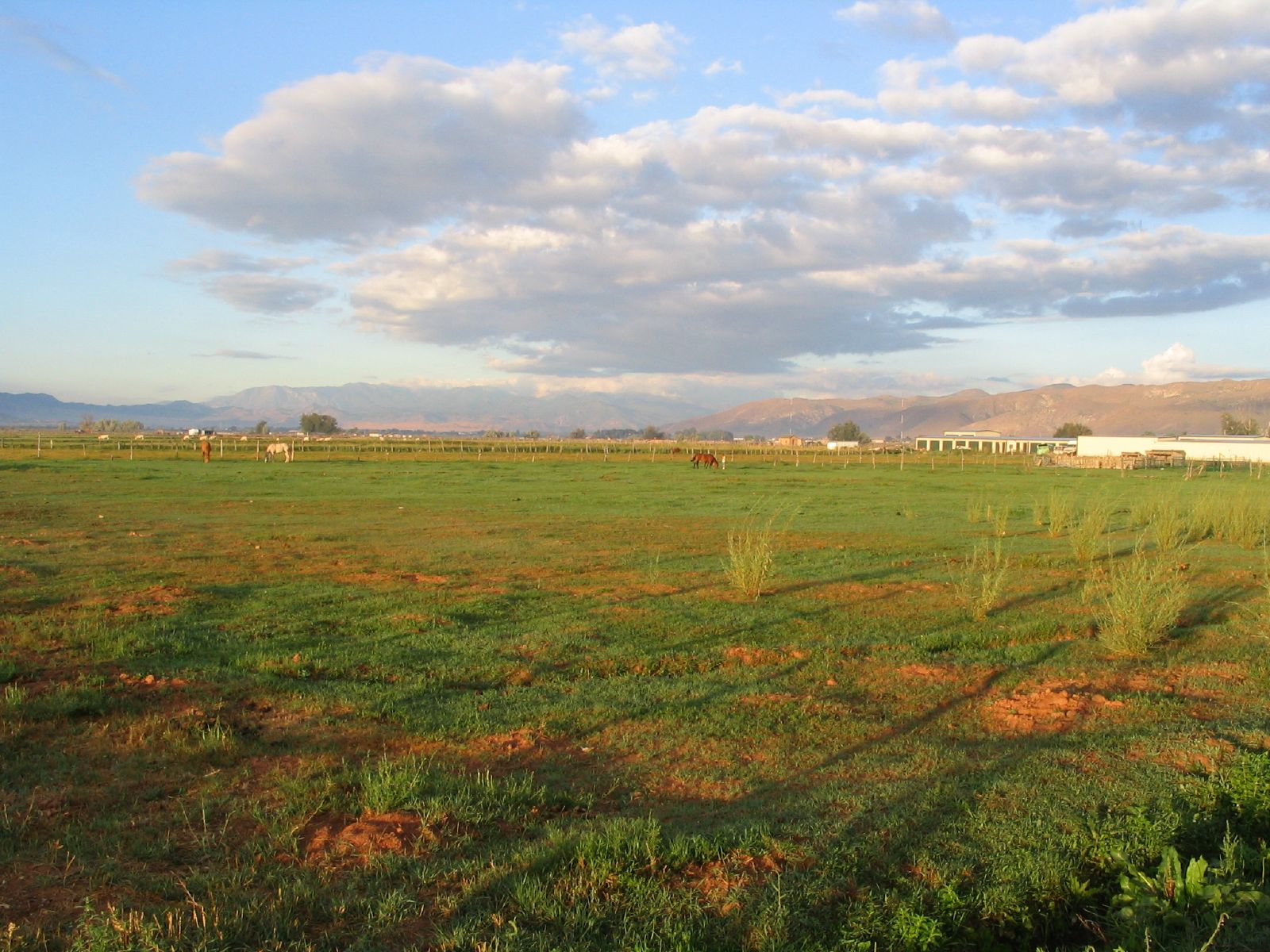
Views of Sevier Valley from Utah State Route 119 Near Glenwood, Utah

Views of Sevier Valley from Utah State Route 119 Near Glenwood, Utah

View of Monroe, Utah, Hike Between Cove Mountain and Left Hand Fork Canyon, Near Monroe, Utah

View of Cove Mountain, Central Valley, Utah

View of Cove Mountain, Central Valley, Utah

View of Monroe Mountain, Central Valley, Utah

Views of Sevier Valley from Utah State Route 119 Near Glenwood, Utah

Views of Glenwood, Utah from Utah State Route 119

Views of Glenwood, Utah from Utah State Route 119

Views of Sevier Valley from Utah State Route 119 Near Glenwood, Utah
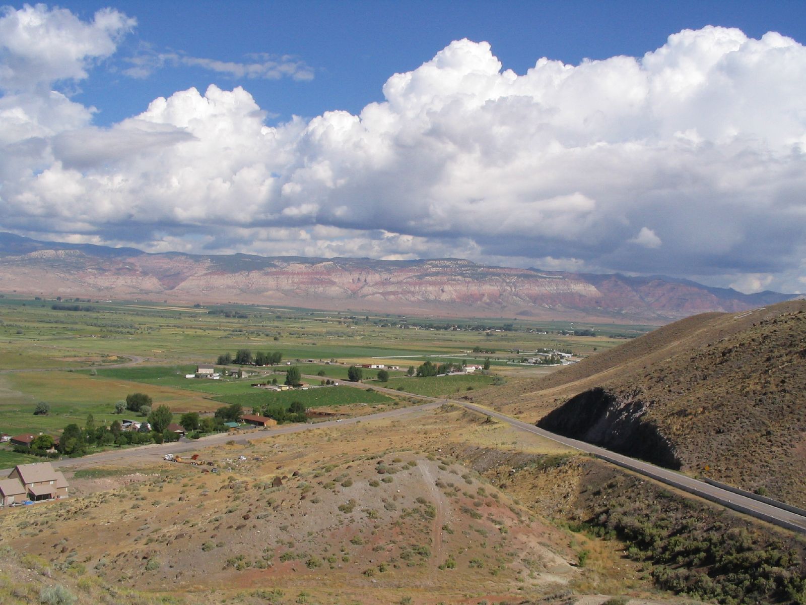
Views of Sevier Valley from Utah State Route 119 Near Glenwood, Utah

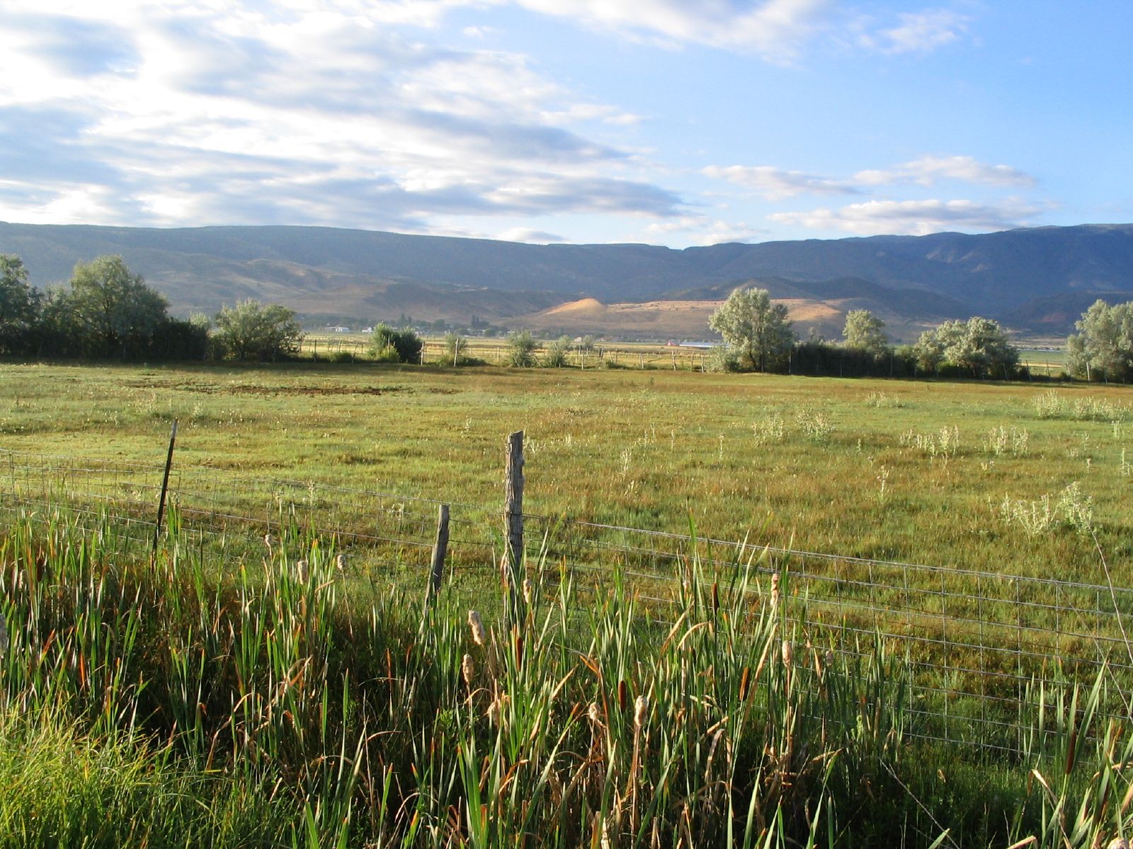
View of Sevier Valley, Near Cove Mountain, Utah

Views of Sevier Valley from Utah State Route 119 Near Glenwood, Utah

Views of Glenwood, Utah from Utah State Route 119

Hike Between Cove Mountain and Hand Fork Canyon, Near Monroe, Utah
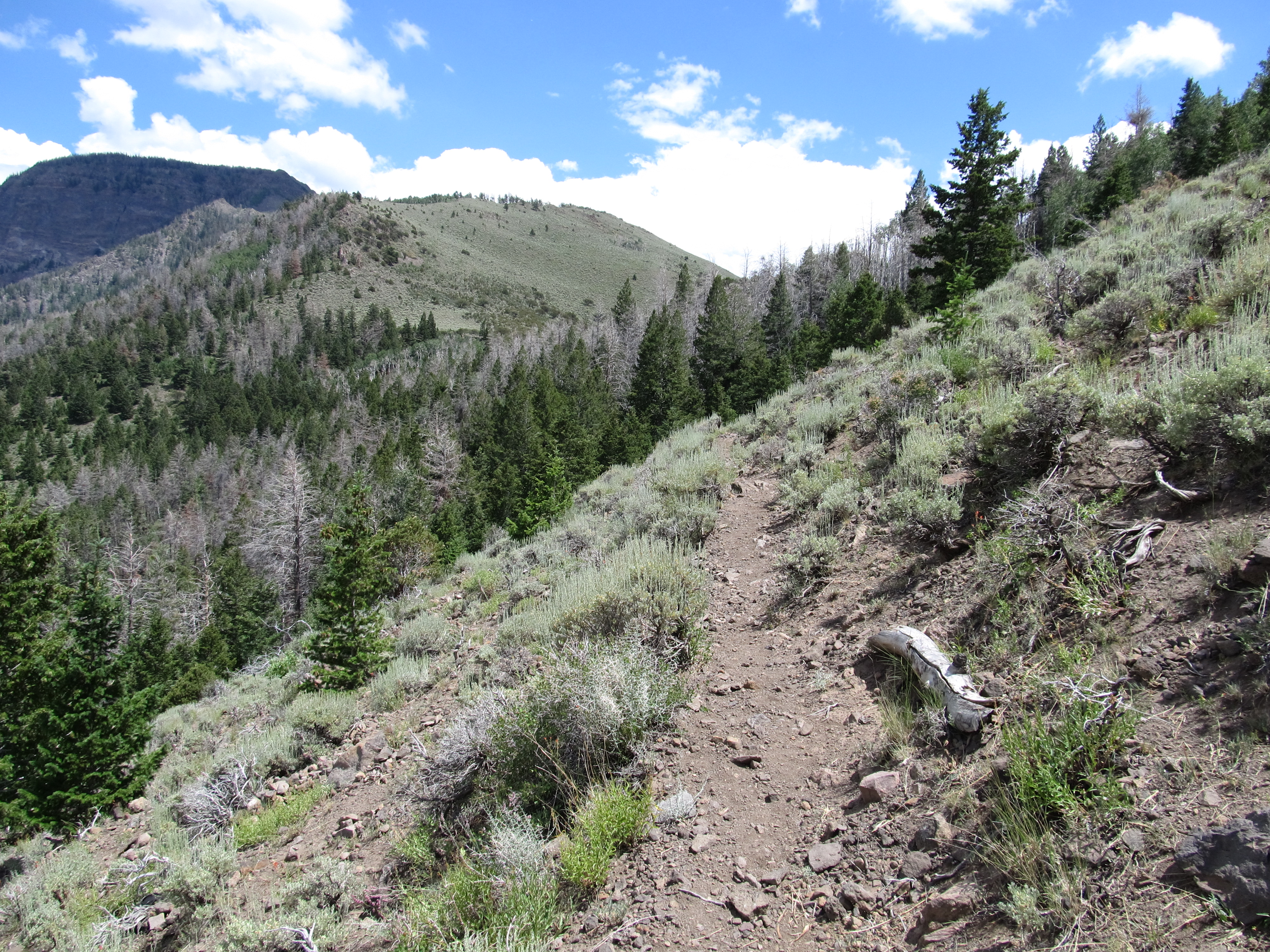
Hike Between Cove Mountain and Hand Fork Canyon, Near Monroe, Utah

Hike Between Cove Mountain and Hand Fork Canyon, Near Monroe, Utah

Hike Between Cove Mountain and Hand Fork Canyon, Near Monroe, Utah
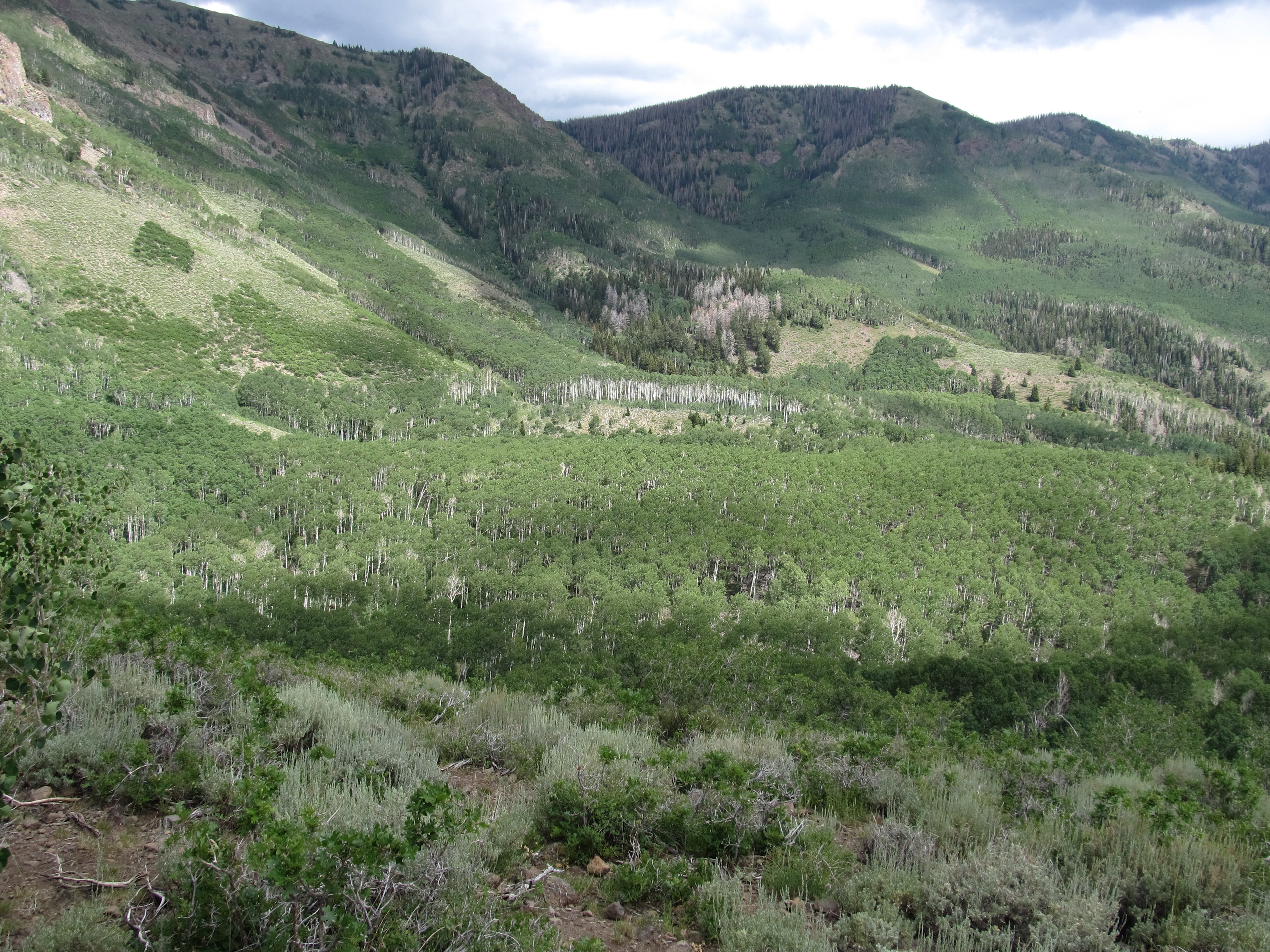
Hike Between Cove Mountain and Hand Fork Canyon, Near Monroe, Utah

Hike Between Cove Mountain and Hand Fork Canyon, Near Monroe, Utah

Hike Between Cove Mountain and Hand Fork Canyon, Near Monroe, Utah
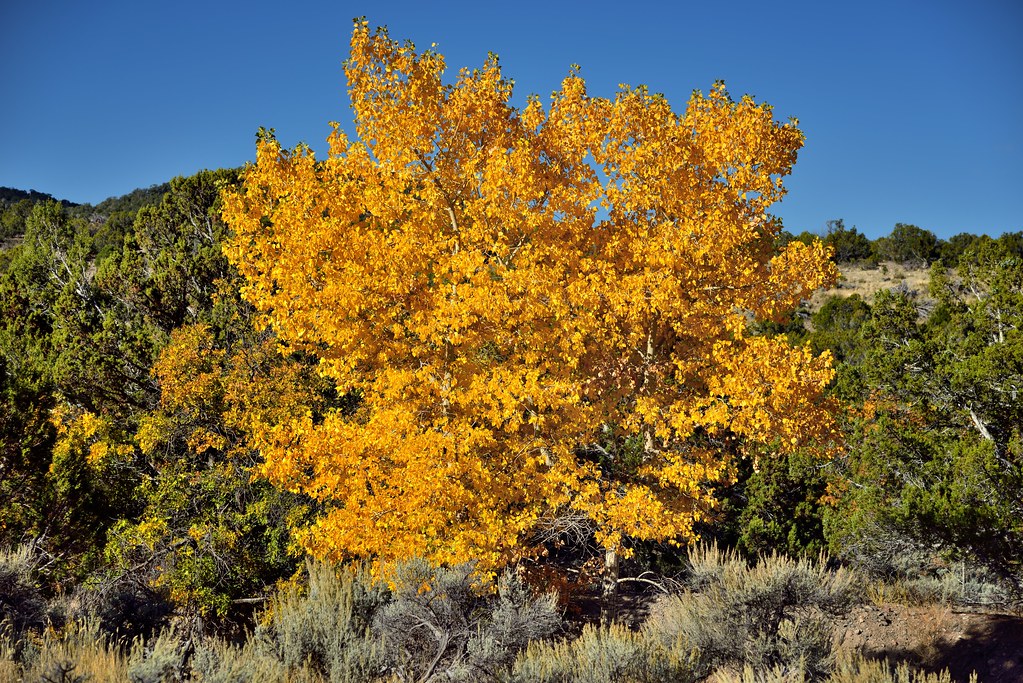
Vibrant Yellows in a Nearby Tree

Autumn Leaves Along the Utah Highways
Sunrise, Utah State Route 119, Sevier Valley, Glenwood, Utah

Sevier Valley Near Richfield, Utah
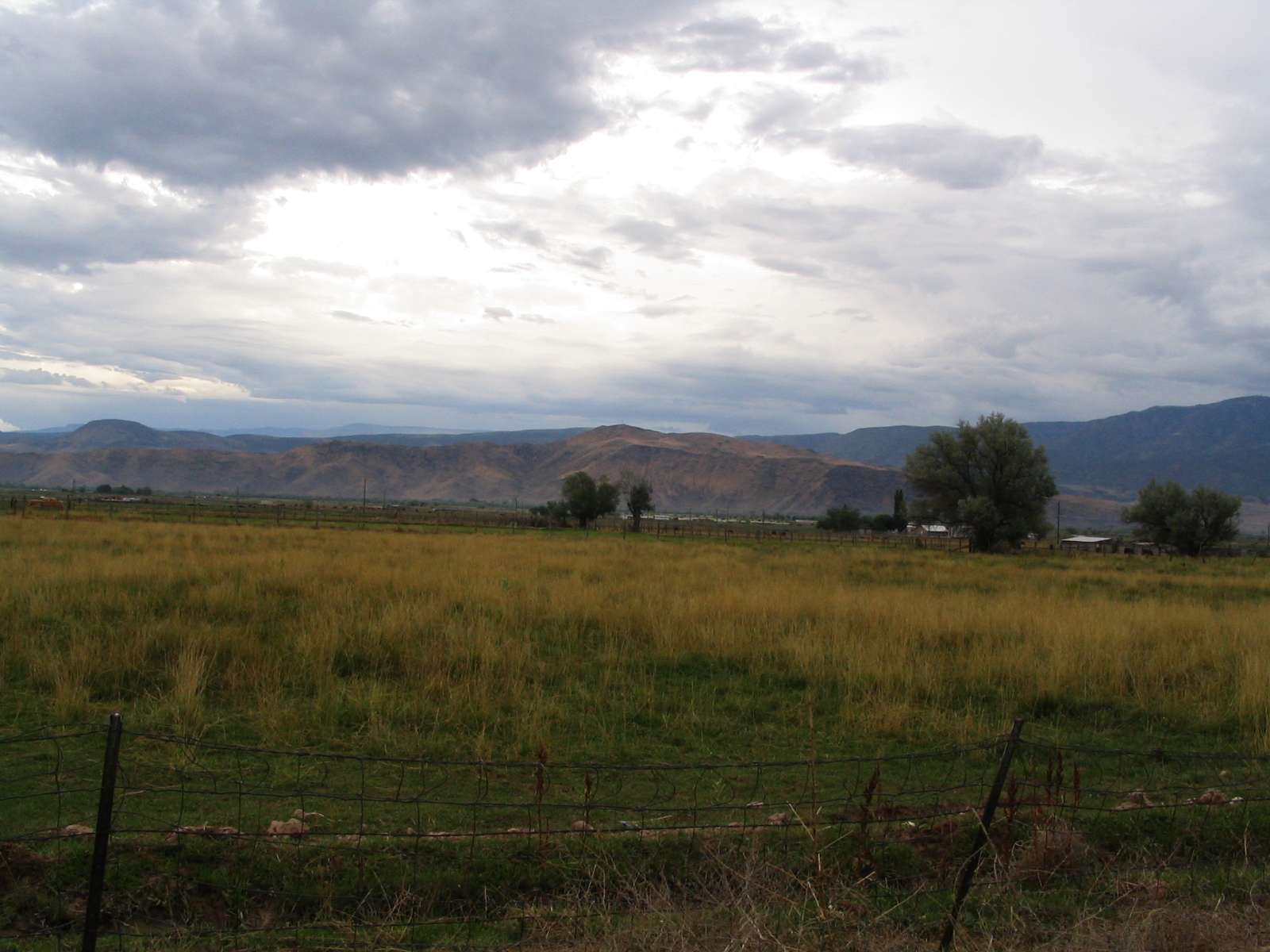
Sevier Valley Near Richfield, Utah

RIchfield from Interstate 70, Utah

Sevier Valley Near Richfield, Utah
Sunrise, Utah State Route 119, Sevier Valley, Glenwood, Utah

Sunrise, Utah State Route 119, Sevier Valley, Glenwood, Utah

Sunrise, Utah State Route 119, Sevier Valley, Glenwood, Utah

Rainbow Hills, Utah State Route 119 Near Glenwood, Utah

Sunrise, Utah State Route 119, Sevier Valley, Glenwood, Utah

Rainbow Hills

20160424 192217 1SL6
Topographic Map of PVXW+RV, Richfield, UT, USA
Find elevation by address:

Places near PVXW+RV, Richfield, UT, USA:
Richfield
1000 N Main St
Jvph+xh
West Center Street
105 S 200 E
23 E S, Monroe, UT, USA
Monroe
447 E 800 S
Sigurd
UT-24, Sigurd, UT, USA
55 N, Sigurd, UT, USA
Sevier
Aurora
Sam Stowe Campground
674 Ut-99
West Center Street
Fillmore
Salina
Castle Rock Campground
Sorenson's Ranch School
Recent Searches:
- Elevation map of Greenland, Greenland
- Elevation of Sullivan Hill, New York, New York, 10002, USA
- Elevation of Morehead Road, Withrow Downs, Charlotte, Mecklenburg County, North Carolina, 28262, USA
- Elevation of 2800, Morehead Road, Withrow Downs, Charlotte, Mecklenburg County, North Carolina, 28262, USA
- Elevation of Yangbi Yi Autonomous County, Yunnan, China
- Elevation of Pingpo, Yangbi Yi Autonomous County, Yunnan, China
- Elevation of Mount Malong, Pingpo, Yangbi Yi Autonomous County, Yunnan, China
- Elevation map of Yongping County, Yunnan, China
- Elevation of North 8th Street, Palatka, Putnam County, Florida, 32177, USA
- Elevation of 107, Big Apple Road, East Palatka, Putnam County, Florida, 32131, USA
- Elevation of Jiezi, Chongzhou City, Sichuan, China
- Elevation of Chongzhou City, Sichuan, China
- Elevation of Huaiyuan, Chongzhou City, Sichuan, China
- Elevation of Qingxia, Chengdu, Sichuan, China
- Elevation of Corso Fratelli Cairoli, 35, Macerata MC, Italy
- Elevation of Tallevast Rd, Sarasota, FL, USA
- Elevation of 4th St E, Sonoma, CA, USA
- Elevation of Black Hollow Rd, Pennsdale, PA, USA
- Elevation of Oakland Ave, Williamsport, PA, USA
- Elevation of Pedrógão Grande, Portugal