Elevation of S E, Monroe, UT, USA
Location: United States > Utah > Sevier County > Monroe >
Longitude: -112.11682
Latitude: 38.6302085
Elevation: 1647m / 5404feet
Barometric Pressure: 83KPa
Elevation Map:
Satellite Map:
Related Photos:

Manning Meadows Reservoir

Middle of Nowhere, Utah

View of Monroe, Utah, Hike Between Cove Mountain and Left Hand Fork Canyon, Near Monroe, Utah

View of Cove Mountain, Central Valley, Utah

View of Cove Mountain, Central Valley, Utah

View of Monroe Mountain, Central Valley, Utah

Hike Between Cove Mountain and Hand Fork Canyon, Near Monroe, Utah

View of Sevier Valley, Near Cove Mountain, Utah
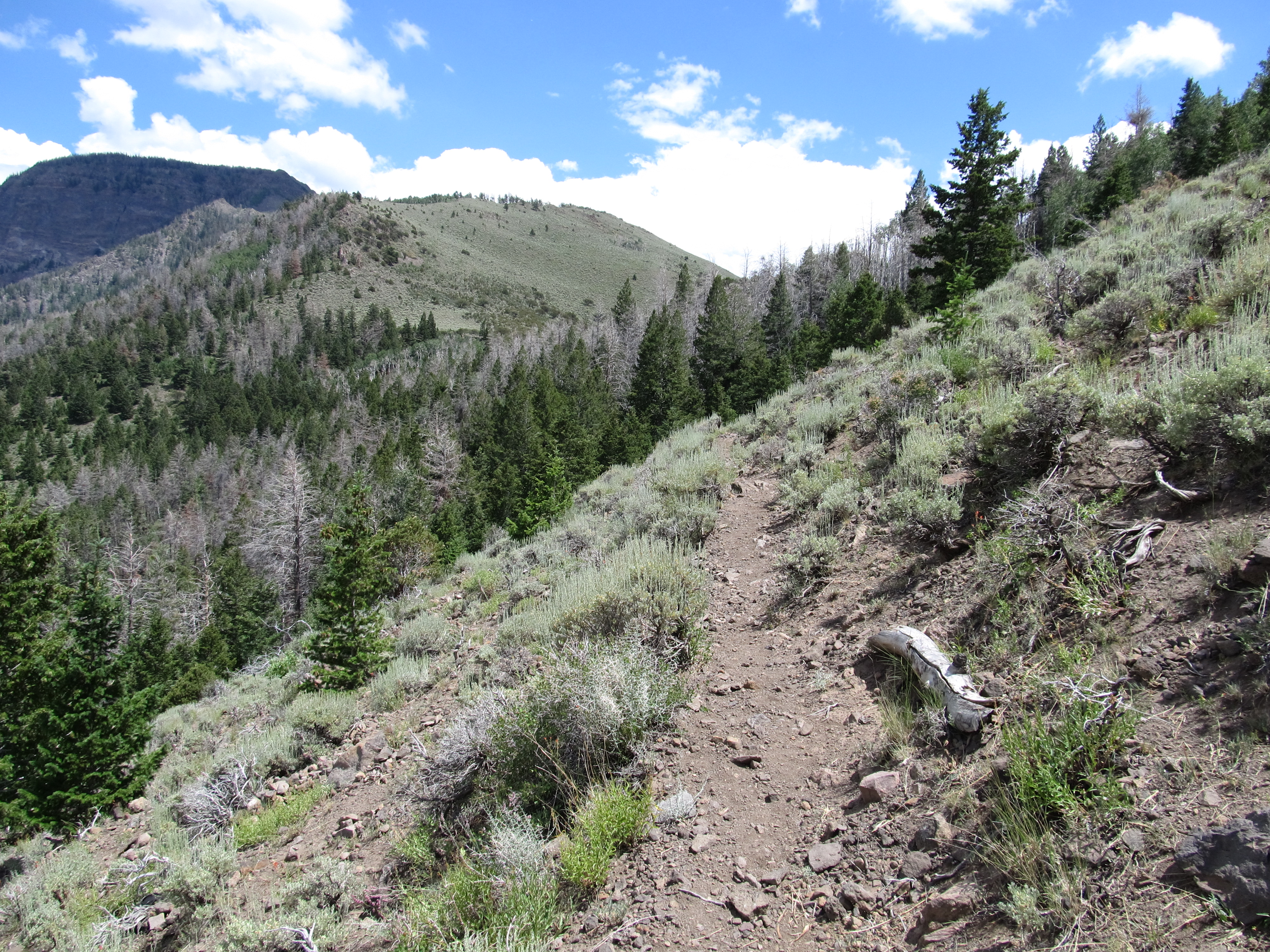
Hike Between Cove Mountain and Hand Fork Canyon, Near Monroe, Utah

Hike Between Cove Mountain and Hand Fork Canyon, Near Monroe, Utah

Hike Between Cove Mountain and Hand Fork Canyon, Near Monroe, Utah
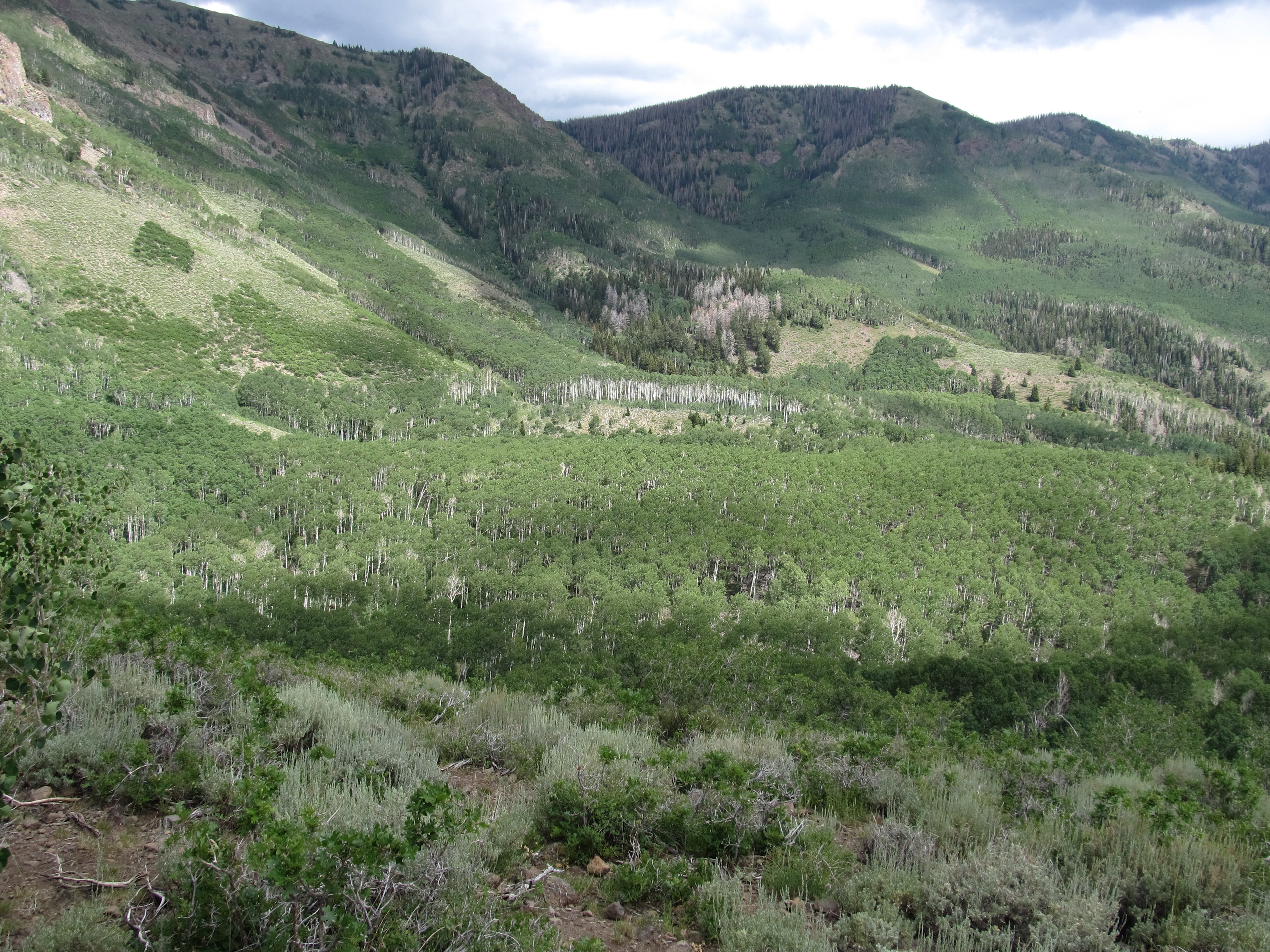
Hike Between Cove Mountain and Hand Fork Canyon, Near Monroe, Utah

Hike Between Cove Mountain and Hand Fork Canyon, Near Monroe, Utah

Hike Between Cove Mountain and Hand Fork Canyon, Near Monroe, Utah

Hike Between Cove Mountain and Hand Fork Canyon, Near Monroe, Utah

Hike Between Cove Mountain and Hand Fork Canyon, Near Monroe, Utah

Ken, Hike Between Cove Mountain and Hand Fork Canyon, Near Monroe, Utah

Hike Between Cove Mountain and Hand Fork Canyon, Near Monroe, Utah

Hike Between Cove Mountain and Hand Fork Canyon, Near Monroe, Utah

Alicia, Hike Between Cove Mountain and Hand Fork Canyon, Near Monroe, Utah

Hike Between Cove Mountain and Hand Fork Canyon, Near Monroe, Utah

Monroe Peak - Utah

Fall in Utah

U.S. Route 89 Between Sevier, Utah and Marysvale, Utah

U.S. Route 89 Between Sevier, Utah and Marysvale, Utah

U.S. Route 89 Near Interstate 70, Utah

U.S. Route 89 Between Sevier, Utah and Marysvale, Utah

U.S. Route 89 Near Interstate 70, Utah

U.S. Route 89 Near Interstate 70, Utah

Sevier Valley Near Annabella, Utah

20160424 192154 1SL6

20160424 192217 1SL6

Man, Woman, Wild, Left Hand Fork Canyon, Near Monroe, Utah

20160424 192205 1SL6
Topographic Map of S E, Monroe, UT, USA
Find elevation by address:

Places near S E, Monroe, UT, USA:
23 E S, Monroe, UT, USA
Monroe
Jvph+xh
West Center Street
447 E 800 S
Pvxw+rv
Richfield
Sevier
1000 N Main St
Sam Stowe Campground
Marysvale
Castle Rock Campground
Sigurd
UT-24, Sigurd, UT, USA
Koosharem Road
Sorenson's Ranch School
Koosharem
55 N, Sigurd, UT, USA
Utah 24
Aurora
Recent Searches:
- Elevation of Corso Fratelli Cairoli, 35, Macerata MC, Italy
- Elevation of Tallevast Rd, Sarasota, FL, USA
- Elevation of 4th St E, Sonoma, CA, USA
- Elevation of Black Hollow Rd, Pennsdale, PA, USA
- Elevation of Oakland Ave, Williamsport, PA, USA
- Elevation of Pedrógão Grande, Portugal
- Elevation of Klee Dr, Martinsburg, WV, USA
- Elevation of Via Roma, Pieranica CR, Italy
- Elevation of Tavkvetili Mountain, Georgia
- Elevation of Hartfords Bluff Cir, Mt Pleasant, SC, USA